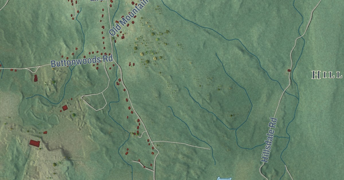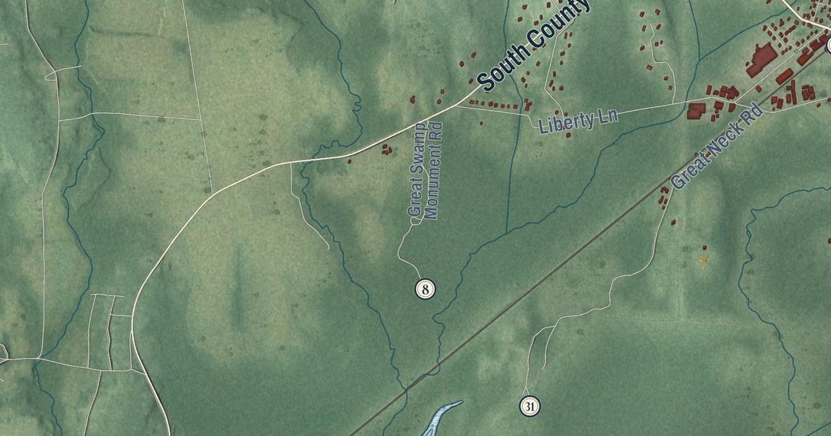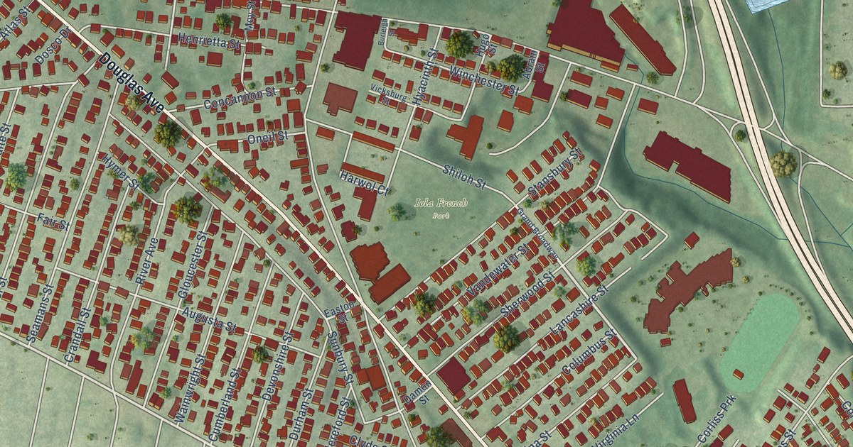
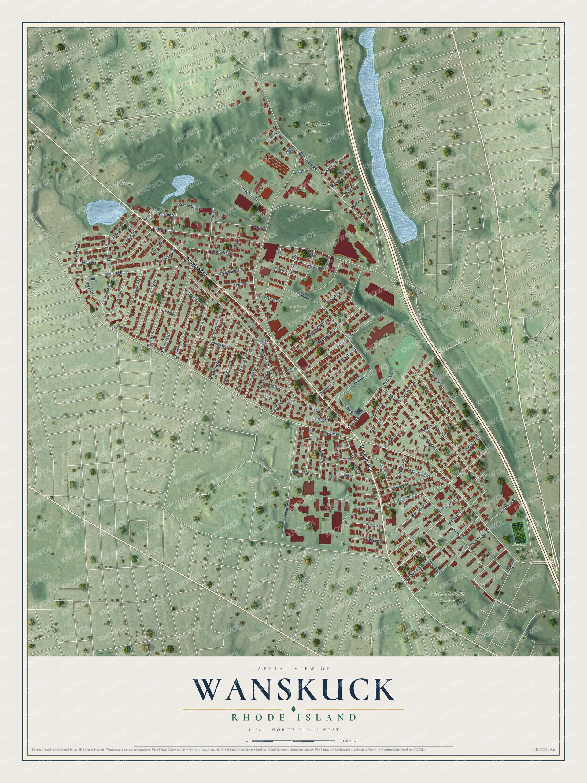
This beautifully detailed map of Wanskuck, Rhode Island was created in 2026 using aerial imagery combined with modern topographical, census, street and landmark data. It’s a one-of-a-kind view of Wanskuck that combines accurate data with a vintage aesthetic. The map shows every building in its true location, many of the roads carry their names, and the shaded topographic relief shows the shape of the land.
Explore an aerial view of Wanskuck, Rhode Island
On the map you’ll find Saint Patricks Cemetery, Wanskuck Park, Iola French Park, Hopkins Park, and Geneva, along with Douglas Avenue, Admiral Street, Corina Street, Glasgow Street, Caxton Street, Veazie Street, Branch Avenue, and more. If you look closely you can even find your house accurately drawn in its correct location. Zoom in on the preview to look for yours.
Did You Know?
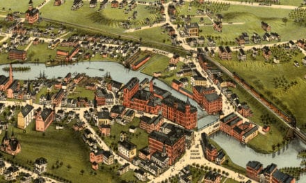
From the 1891 History of Providence County, Rhode Island: "The Wanskuck river runs down through this hamlet, feeding the Geneva Mills, which are located on the line 1?etween the town and Providence, the line passing through the brick mill."
Wanskuck is a place in Providence County.
Take a closer look at the Wanskuck map
Names on this map
These names are printed on this map.
Places: Saint Patricks Cemetery, Wanskuck Park, Iola French Park, Hopkins Park and Geneva.
Streets and roads: Douglas Avenue, Admiral Street, Corina Street, Glasgow Street, Caxton Street, Veazie Street, Branch Avenue, Woodward Road, Sunbury Street, Berkshire Street, Cornwall Street, Salina Street.
More street names, A to Z
Abram Street, Addeo Street, Ainsworth Street, Alicant Street, Amanda Way, Anchor Street, Andy Street, Appian Street, Atlas Street, Augusta Street, August Street, Bagalia Road, Beulah Street, Burleigh Street, Burns Street, Burton Street, Ceres Street, Chad Brown Street, Cheshire Street, Clarkson Street, Clyde Street, Clym Street, Coggeshall Street, Columbus Street, Concannon Street, Corliss Prk, Crandall Street, Cumberland Street, Dakota Street, Damon Street, Dante Street, Devonshire Street, Donelson Street, Dosco Drive, Durham Street, East Drive, Easton Street, Eva Street, Fair Street, Fernando Street, Fillmore Street, Fiore Street, Forsyth Street, General Street, Gloucester Street, Grand Broadway, Grape Street, Harwol Court, Havana Street, Hawkins Street, Hazael Street, Henrietta Street, Hereford Street, Houghton Street, Hugo Street, Huxley Avenue, Hyacinth Street, Hymer Street, Iowa Street, Italy Street, Joseph Street, June Street, Lancashire Street, Liege Street, Longmont Street, Loveday Street, Lubec Street, Manila Street, March Street, Messina Street, Middle Drive, Minnesota Street, Mowry Street, Moy Street, Newcomb Street, Newport Street, Oneil Street, Phebe Street, Pumgansett Street, River Avenue, Santomarco Drive, Seamans Street, Sherwood Street, Shiloh Street, South Lane, Squanto Street, Stansbury Street, Suffolk Street, Sussex Street, Tappan Street, Trent Street, Vandewater Street, Venice Street, Ventura Street, Veto Street, Vicksburg Street, Virginia Lane, Wainwright Street, Waite Street, West Drive, Wild Street, Winchester Street, Yorkshire Street.
See it on a wall
The Wanskuck map as a framed print. Swipe for more.


This beautifully detailed map of Wanskuck makes an attractive addition to your office, library, or den, and it can even be used to teach children the geography and history of the area. It also makes a great gift for someone who left Wanskuck and still calls it home. When you’re done exploring, click here to get your copy of the Wanskuck map.