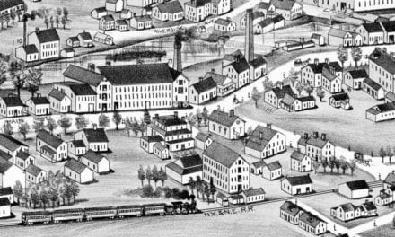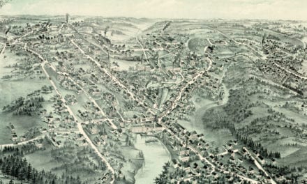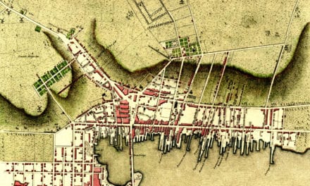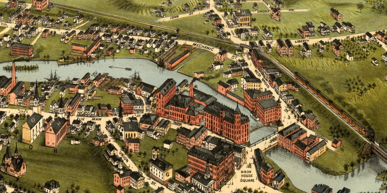
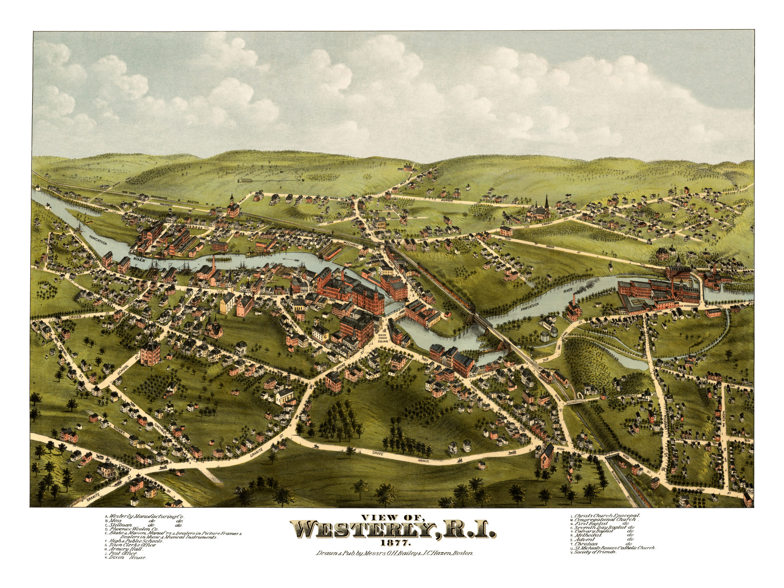
This historic old map of Westerly, Rhode Island was created in 1877 by O.H. Bailey and J.C. Hazen, a prominent duo of 19th century cartographers. The map shows a bird’s eye view of Westerly as it used to be, including street names and old landmarks.
Landmarks on the map include Westerly Manufacturing Company, Moss Manufacturing, Phoenix Woolen Company, Armory Hall, Dixon House, St. Michial’s Roman Catholic Church, First Baptist Church, Christ’s Episcopal Church, Methodist Church, Society of Friends, and more.
This historic map of Westerly, RI has been restored by KNOWOL. Reproductions of the map are available here.
Bird’s Eye View of Westerly, Rhode Island in 1877.
Most believe Westerly was named for the settlement’s westerly location, as it is the westernmost town in Rhode Island; but the name may have also been influenced by the village of Westerleigh in Gloucestershire, England, home to one of Westerly’s founding fathers, John Crandall. Crandall settled in the area in 1661, eight years before the town was founded by John Babcock.
This historic map of Westerly, RI will make an attractive addition to your office, library, or den and can even be used to teach children the geography and history of the area. When you’re done exploring, click here to get your copy.