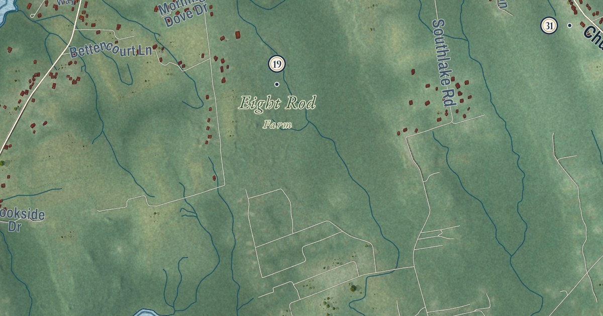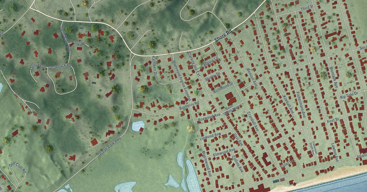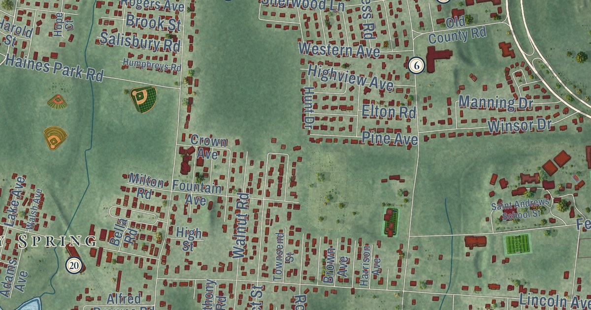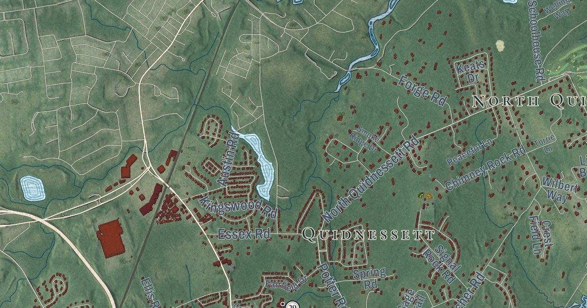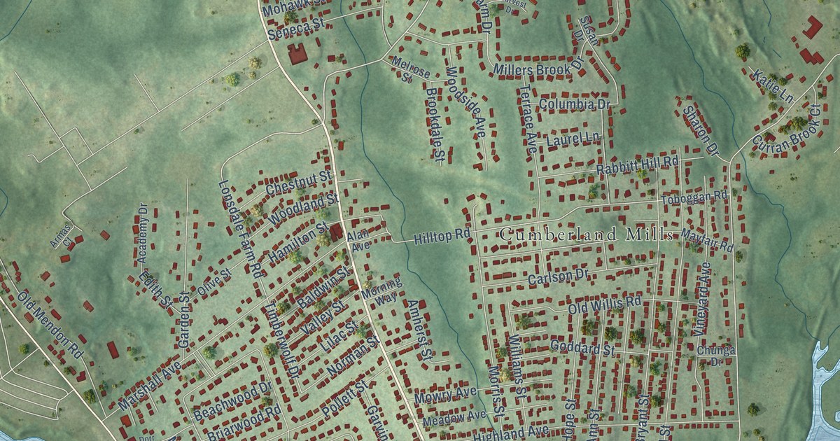
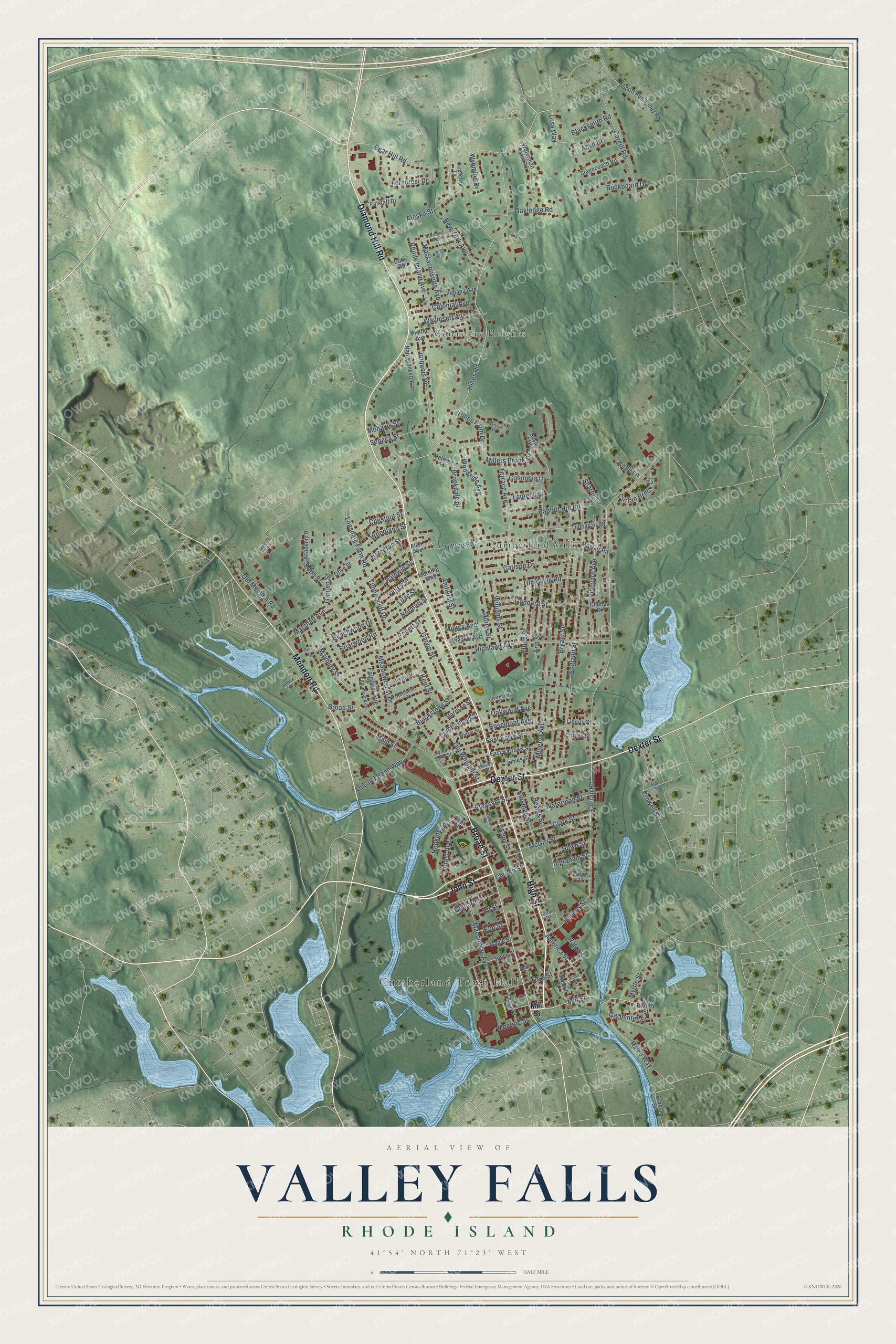
This beautifully detailed map of Valley Falls, Rhode Island was created in 2026 using aerial imagery combined with modern topographical, census, street and landmark data. It's a modern aerial view of Valley Falls in Providence County, Rhode Island, that combines modern data with a vintage aesthetic. The roads feature printed names, and if you look closely you can find your exact house accurately shown in its correct location.
Explore an aerial view of Valley Falls, Rhode Island
On this map you'll find Cumberland Town Hall, Monastery Heights, Cumberland Mills, High Street, Broad Street, John Street, Diamond Hill Road, Dexter Street, Mendon Road, Bear Hill Road, Mill Street, Hines Road, and more. Each red shape is a building, so zoom in on the preview and look for yours.
Valley Falls has a story worth telling. Modern Valley Falls began in 1839, when Oliver Chace bought the mills on both the Cumberland and Central Falls sides of the river. For the next seventy-three years his sons Harvey and Samuel B. Chace built a textile empire in Valley Falls, with two massive brick mill complexes at either end of the dam. The town offices moved to Valley Falls in 1868, and the Cumberland Town Hall was built there in 1894. That's from the Blackstone Heritage Corridor.
Valley Falls is a community in Providence County. The Census Bureau counted 12,094 people here in 2020.
Take a closer look at the Valley Falls map
Names on this map
These names are printed on this map.
Places: Cumberland Town Hall, Monastery Heights and Cumberland Mills.
Streets and roads: High Street, Broad Street, John Street, Diamond Hill Road, Dexter Street, Mendon Road, Bear Hill Road, Mill Street, Hines Road, Curran Road, Lonsdale Farm Road, Amherst Street.
More street names, A to Z
Abbott Run Valley Road, Academy Drive, Alan Avenue, Alaska Street, America Street, Ann and Hope Way, Ann Street, Anvil Drive, Armas Court, Baldwin Street, Beachwood Drive, Bells Court, Blacksmith Road, Blackstone Street, Bowen Street, Brailey Street, Branch Street, Briarwood Road, Brookdale Street, Bryant Street, Buckboard Drive, Candida Court, Cargill Road, Carlson Drive, Carpenter Lane, Carpenter Street, Chase Street, Chestnut Street, Chunga Drive, Church Street, Citizen Street, Clairmont Street, Clark Street, Colonial Avenue, Columbia Drive, Crowell Street, Cumberland Street, Curran Brook Court, Davis Street, Dorr Street, Duke Road, East Barrows Street, East Earle Street, Eddy Street, Edgemont Avenue, Edith Street, Eli Street, Elm Street, England Street, Fairview Avenue, Falstaff Drive, Fatima Drive, Ferncrest Drive, Forest Avenue, Garden Street, Garvin Street, Geldard Street, Goddard Street, Hamilton Street, Harrison Street, Harvest Drive, Hatch Street, Havens Street, Hewes Street, Highland Avenue, Hilltop Road, Hines Farm Drive, Hope Street, Hopkins Terrace, Howe Street, Indiana Avenue, Ingraham Street, Iroquois Road, James Street, Jones Street, Katie Lane, Kent Street, Kinsman Street, Laurel Lane, Lenox Street, Liberty Street, Lilac Street, Macondray Avenue, Main Street, Maple Street, Marshall Avenue, Massachusetts Avenue, Maybury Street, Mayfair Road, McGirr Street, Meadow Avenue, Meadowcrest Drive, Meeting Street, Melrose Street, Millers Brook Drive, Minerva Avenue, Mohawk Street, Morning Way, Morris Street, Mowry Avenue, Myrtle Street, Narragansett Avenue, New York Avenue, Norman Street, Oakledge Road, Oak Street, Oakwood Avenue, Ohio Avenue, Old Mendon Road, Old Whipple Street, Old Willis Road, Olive Street, Patt Avenue, Phillip Avenue, Pleasant Street, Pollett Street, Rabbitt Hill Road, Ralco Way, Redwood Drive, Rhode Island Avenue, River Street, Rosemont Avenue, School Street, Seneca Street, Sharon Drive, Smith Street, Stagecoach Road, Susan Drive, Terrace Avenue, Timberwolf Drive, Titus Street, Toboggan Road, Ursa Way, Valley Street, Vermont Avenue, Vineyard Avenue, Vista Drive, Waterman Farm Road, Waterman Street, Waumsett Avenue, West Earle Street, Williams Street, Winsor Street, Woodland Street, Woodside Avenue, Wyoming Drive.
See it on a wall
The Valley Falls map as a framed print. Swipe for more.


Created by KNOWOL in 2026. The buildings are small red shapes, the roads carry their printed names, and shaded relief shows the shape of the land. The title panel reads "AERIAL VIEW OF VALLEY FALLS, RHODE ISLAND" with 41°54' NORTH 71°23' WEST.
It looks right in a kitchen, an office or a den, and it's a gift for anyone who grew up in Valley Falls or moved away. Open the preview and find your street. See sizes and frames for the Valley Falls map.