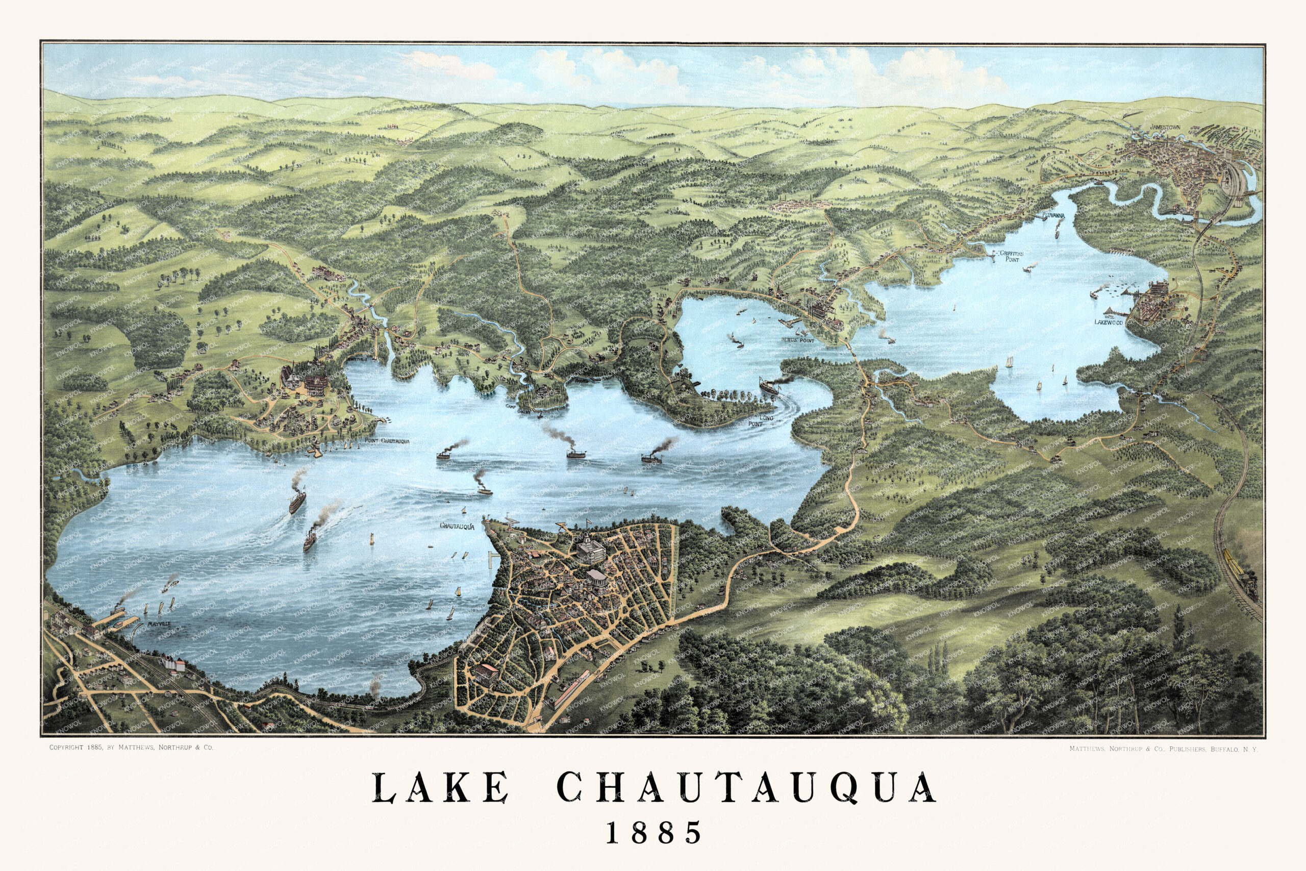
This restored and colorized vintage map of Lake Chautauqua, New York was originally created in 1885 by the Matthews-Northrup Company of Buffalo. The bird’s-eye view captures Chautauqua Lake as it appeared in the late 19th century, with steamboats crossing the water, sailboats on the lake, wooded hills, open farmland, winding roads, railroads, docks, and historic lakefront communities. Featured locations include Point Chautauqua, Camp Collins, Dewittville, Mayville, Long Point, Lakewood, Griffiths Point, Fluvanna, Jamestown, Bemus Point, and the Western New York & Pennsylvania Railroad. Restored and colorized by KNOWOL.