Detailed Map of McIvers, Newfoundland and Labrador
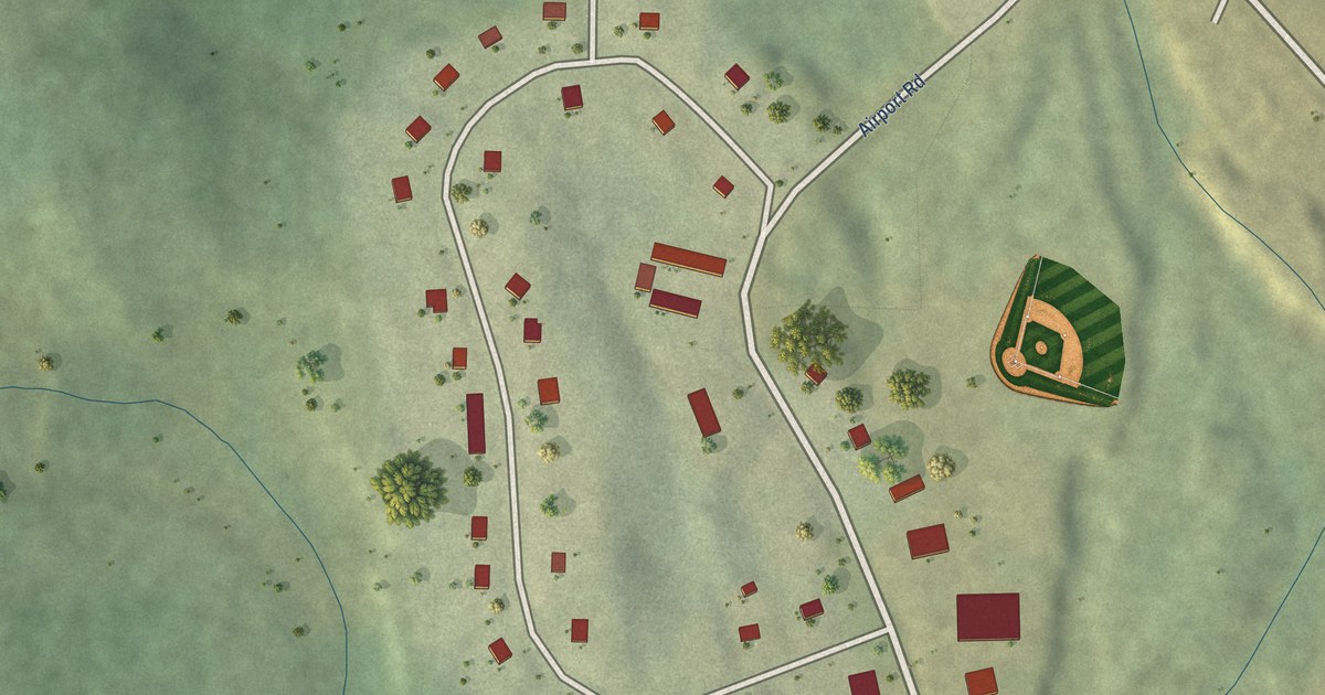
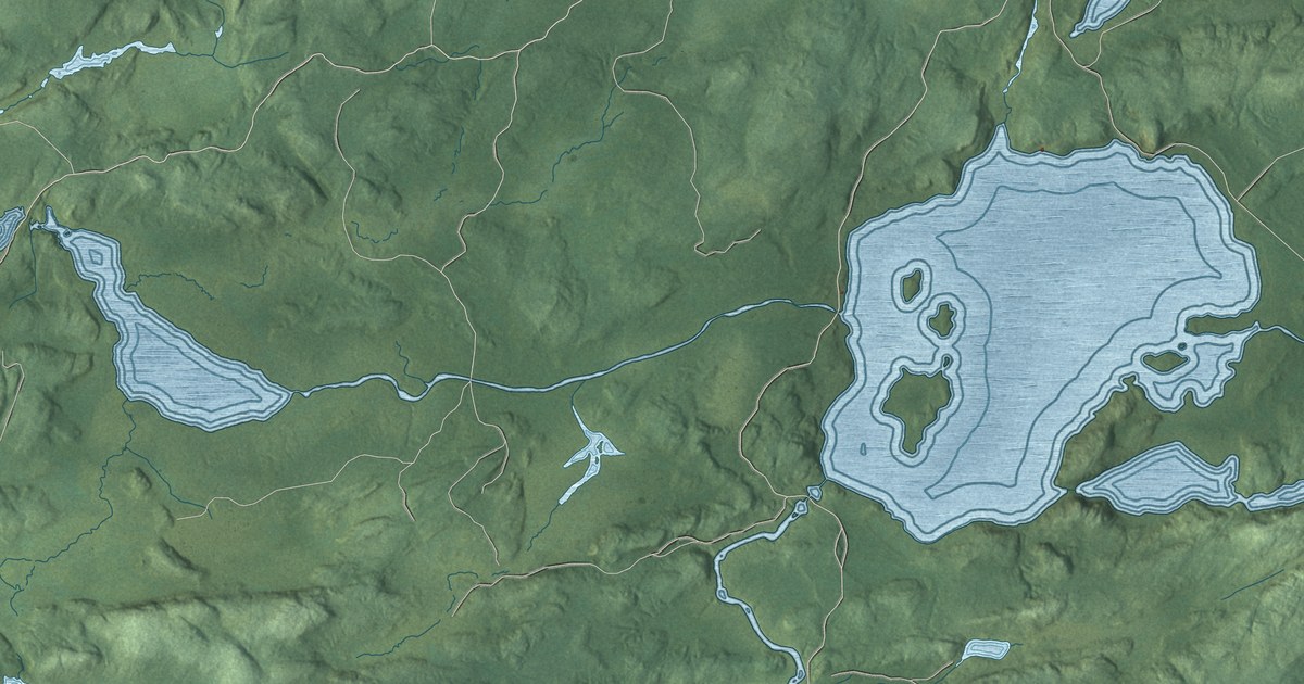
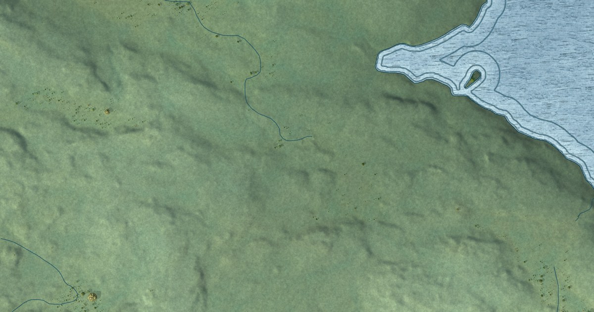
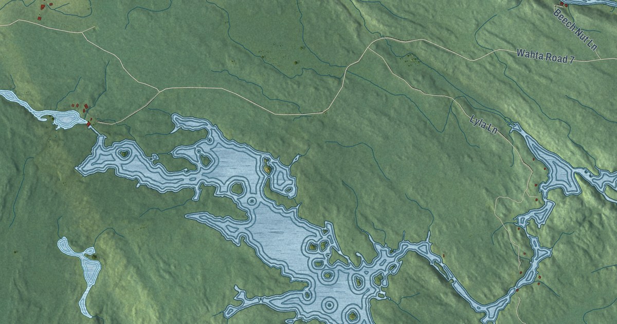
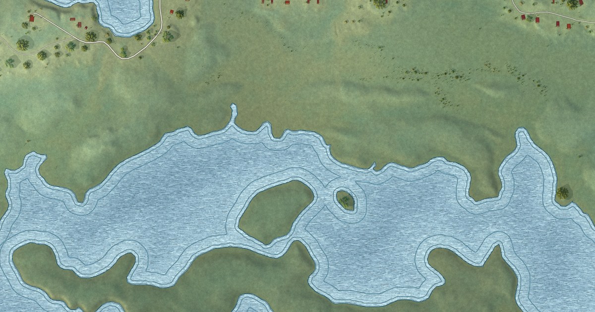
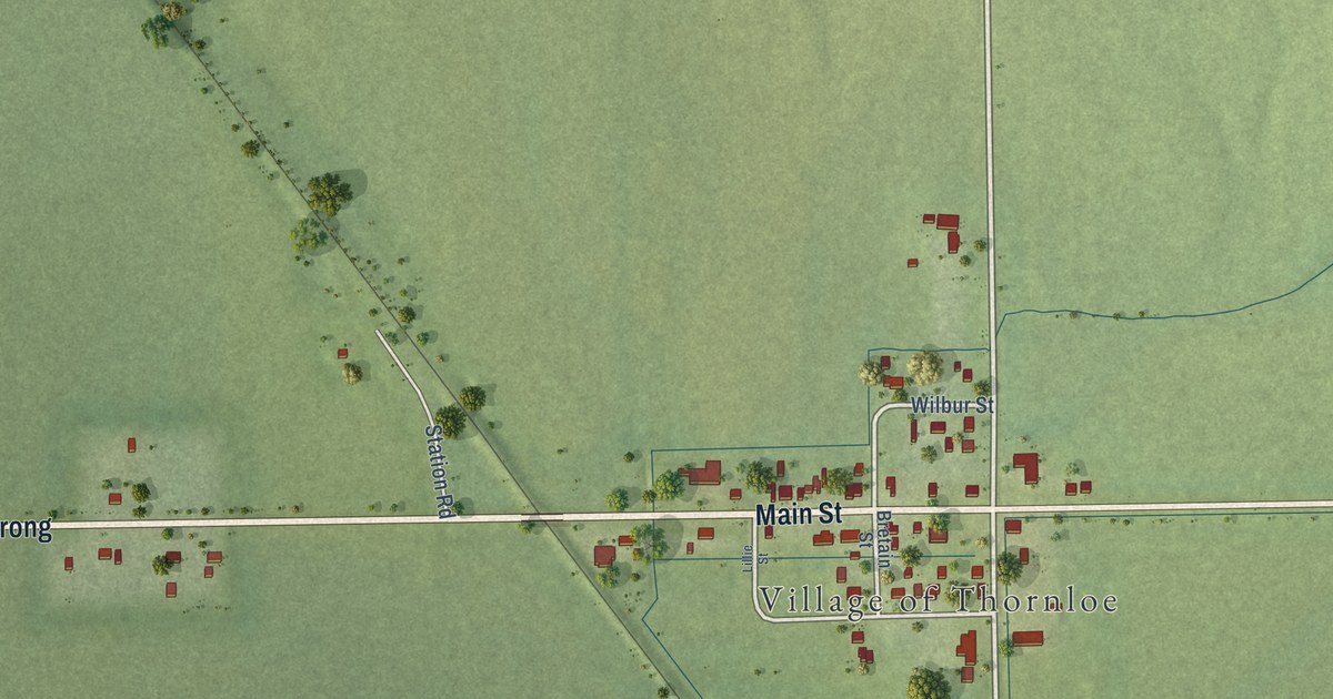
A detailed map of McIvers, Newfoundland and Labrador, showing every building in its true location, the roads by name, and shaded topographical relief.
Read More
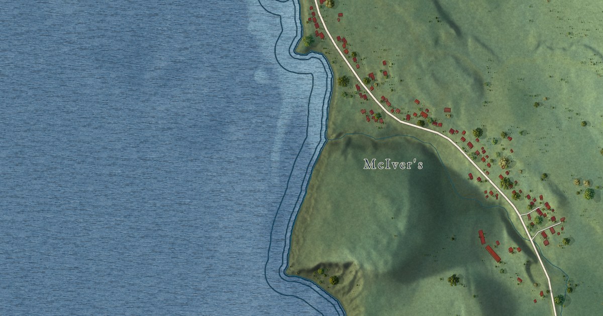
A detailed map of McIvers, Newfoundland and Labrador, showing every building in its true location, the roads by name, and shaded topographical relief.
Read More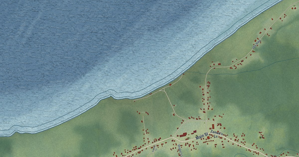
A detailed map of Lourdes, Newfoundland and Labrador, showing every building in its true location, the roads by name, and shaded topographical relief.
Read More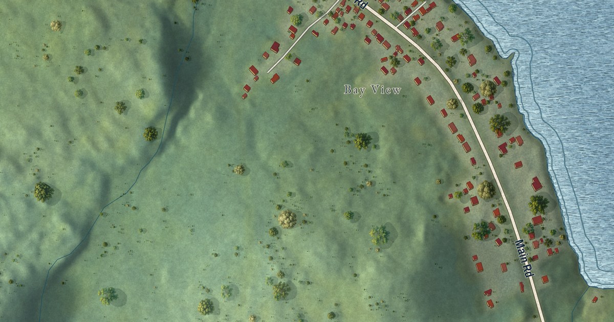
A detailed map of Lewin’s Cove, Newfoundland and Labrador, showing every building in its true location, the roads by name, and shaded topographical relief.
Read More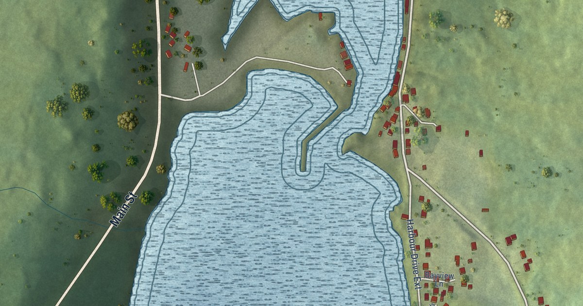
A detailed map of Lawn, Newfoundland and Labrador, showing every building in its true location, the roads by name, and shaded topographical relief.
Read More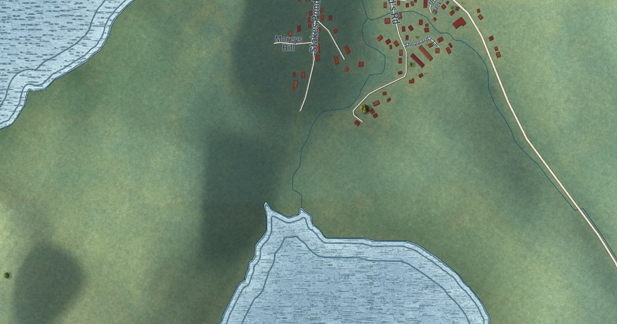
A detailed map of LaScie, Newfoundland and Labrador, showing every building in its true location, the roads by name, and shaded topographical relief.
Read More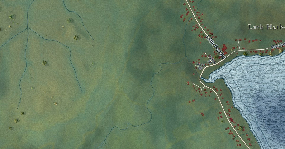
A detailed map of Lark Harbour, Newfoundland and Labrador, showing every building in its true location, the roads by name, and shaded topographical relief.
Read More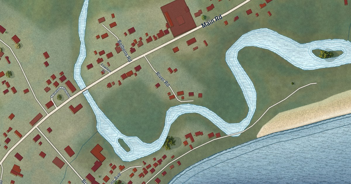
A detailed map of L’Anse au Loup, Newfoundland and Labrador, showing every building in its true location, the roads by name, and shaded topographical relief.
Read More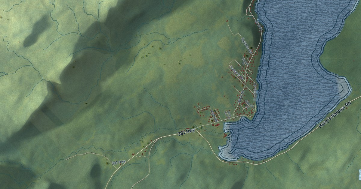
A detailed map of King’s Point, Newfoundland and Labrador, showing every building in its true location, the roads by name, and shaded topographical relief.
Read More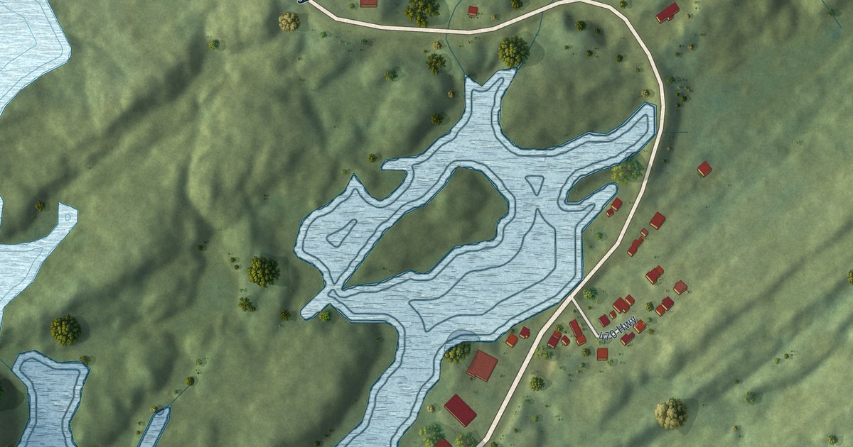
A detailed map of Isle aux Morts, Newfoundland and Labrador, showing every building in its true location, the roads by name, and shaded topographical relief.
Read More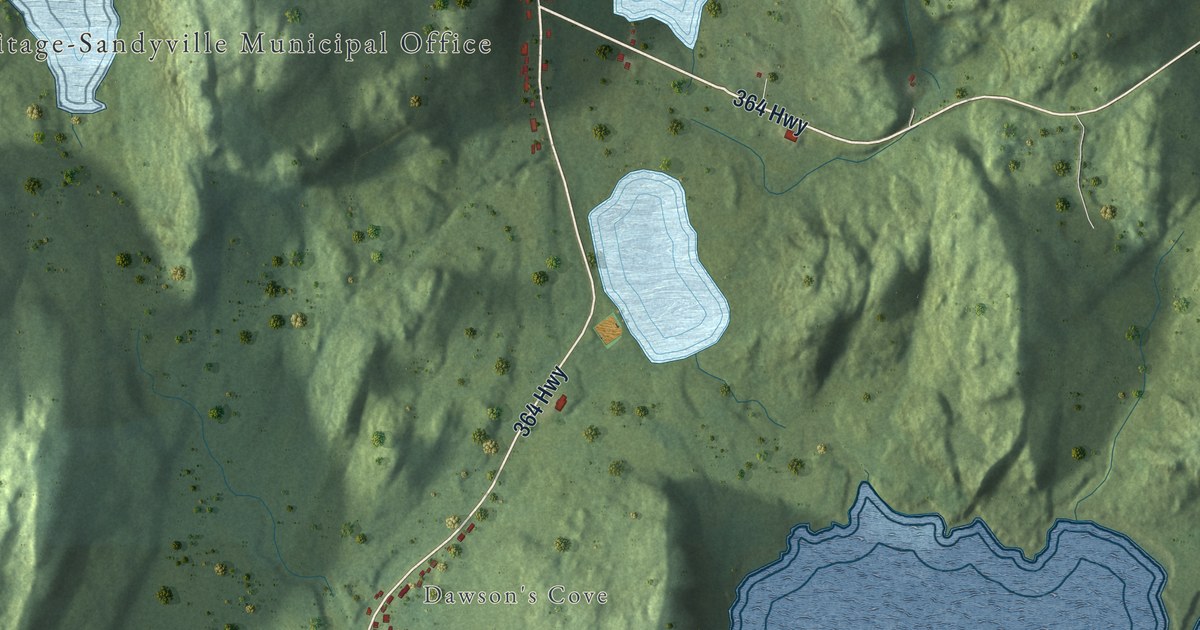
A detailed map of Hermitage-Sandyville, Newfoundland and Labrador, showing every building in its true location, the roads by name, and shaded topographical relief.
Read More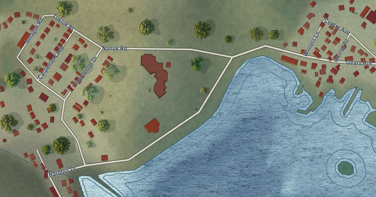
A detailed map of Hopedale, Newfoundland and Labrador, showing every building in its true location, the roads by name, and shaded topographical relief.
Read More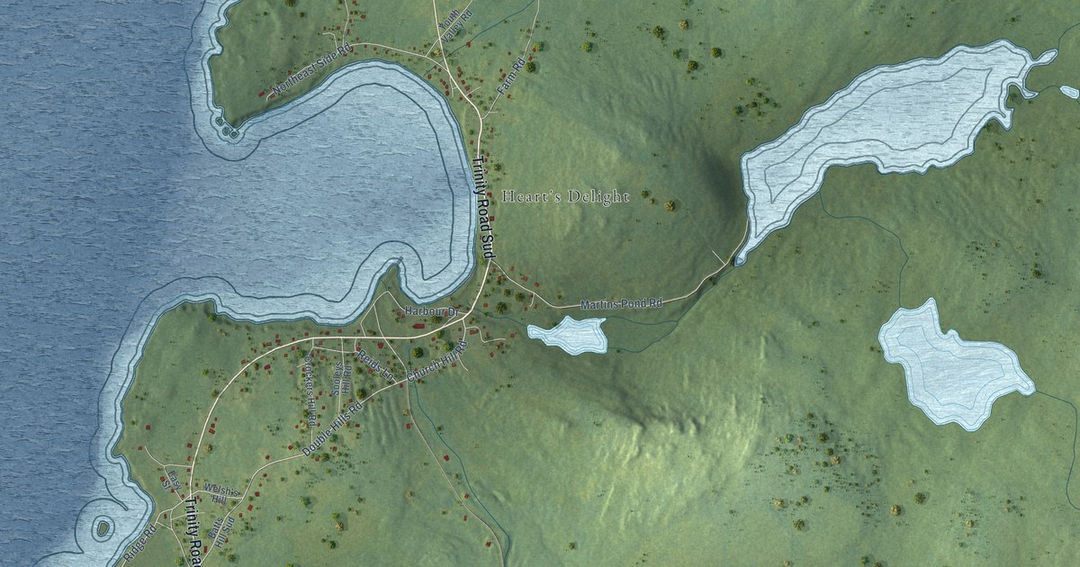
A detailed map of Heart’s Delight-Islington, Newfoundland and Labrador, showing every building in its true location, the roads by name, and shaded topographical relief.
Read More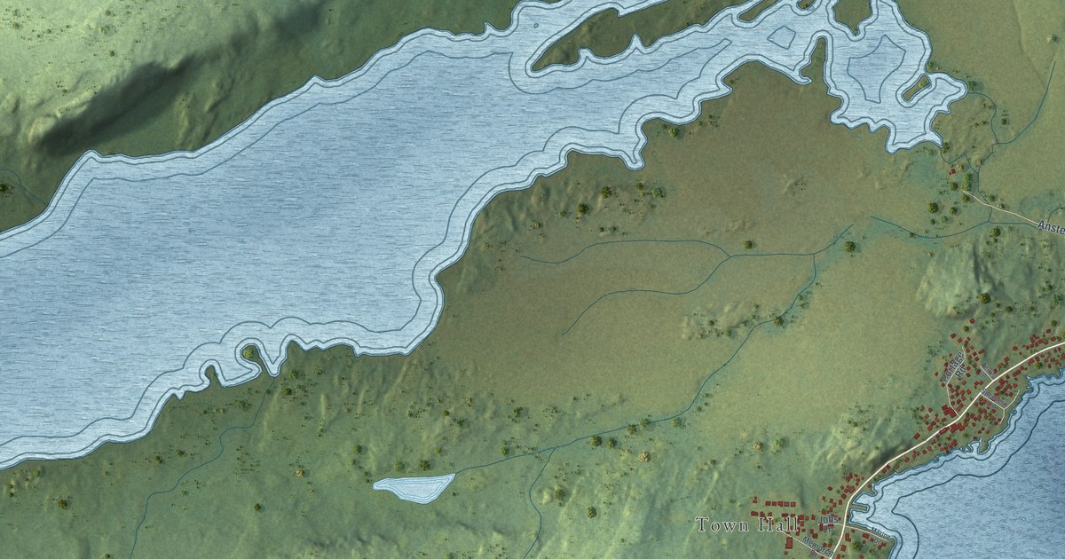
A detailed map of Hare Bay, Newfoundland and Labrador, showing every building in its true location, the roads by name, and shaded topographical relief.
Read More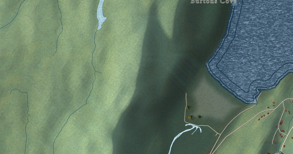
A detailed map of Hampden, Newfoundland and Labrador, showing every building in its true location, the roads by name, and shaded topographical relief.
Read More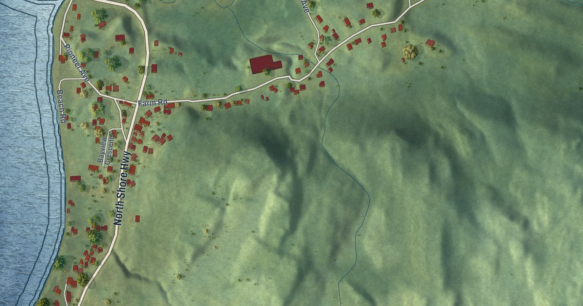
A detailed map of Gillams, Newfoundland and Labrador, showing every building in its true location, the roads by name, and shaded topographical relief.
Read More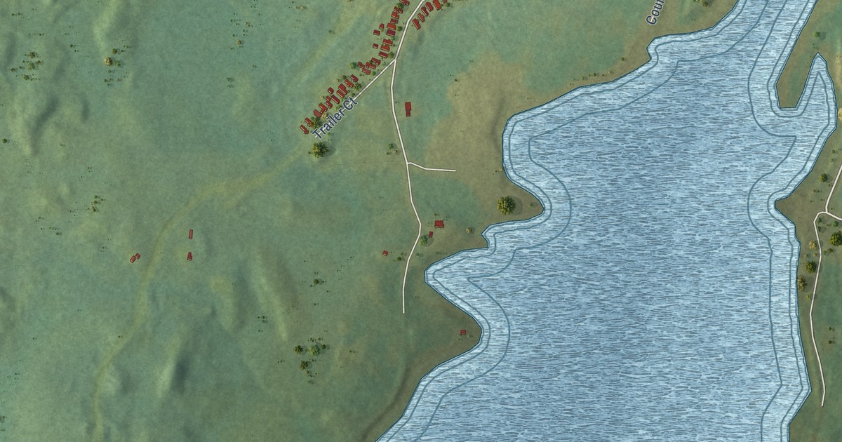
A detailed map of Glenwood, Newfoundland and Labrador, showing every building in its true location, the roads by name, and shaded topographical relief.
Read More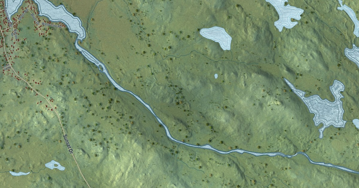
A detailed map of Garnish, Newfoundland and Labrador, showing every building in its true location, the roads by name, and shaded topographical relief.
Read More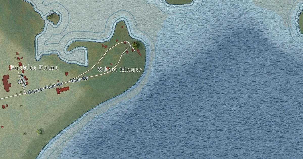
A detailed map of Forteau, Newfoundland and Labrador, showing every building in its true location, the roads by name, and shaded topographical relief.
Read More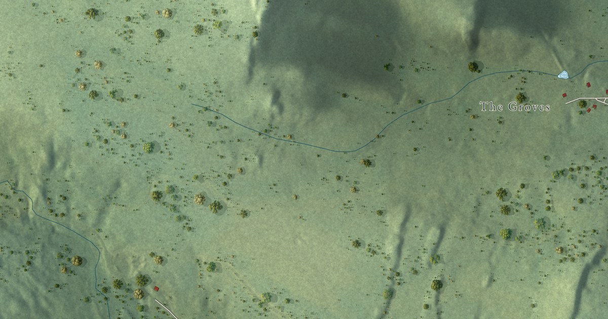
A detailed map of Ferryland, Newfoundland and Labrador, showing every building in its true location, the roads by name, and shaded topographical relief.
Read More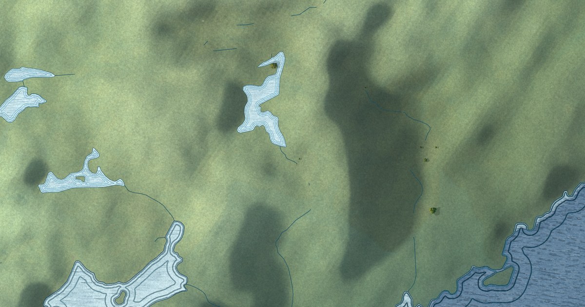
A detailed map of Englee, Newfoundland and Labrador, showing every building in its true location, the roads by name, and shaded topographical relief.
Read More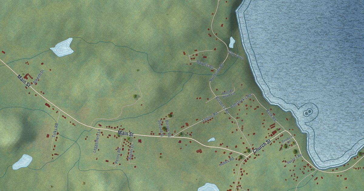
A detailed map of Eastport, Newfoundland and Labrador, showing every building in its true location, the roads by name, and shaded topographical relief.
Read More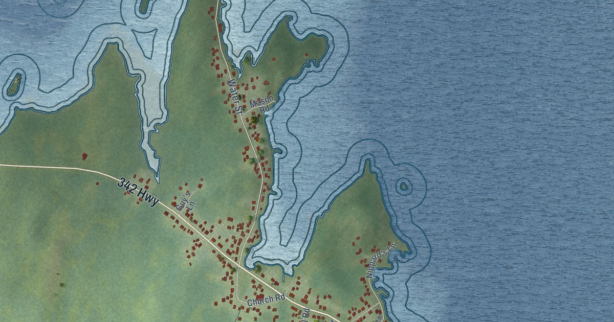
A detailed map of Embree, Newfoundland and Labrador, showing every building in its true location, the roads by name, and shaded topographical relief.
Read More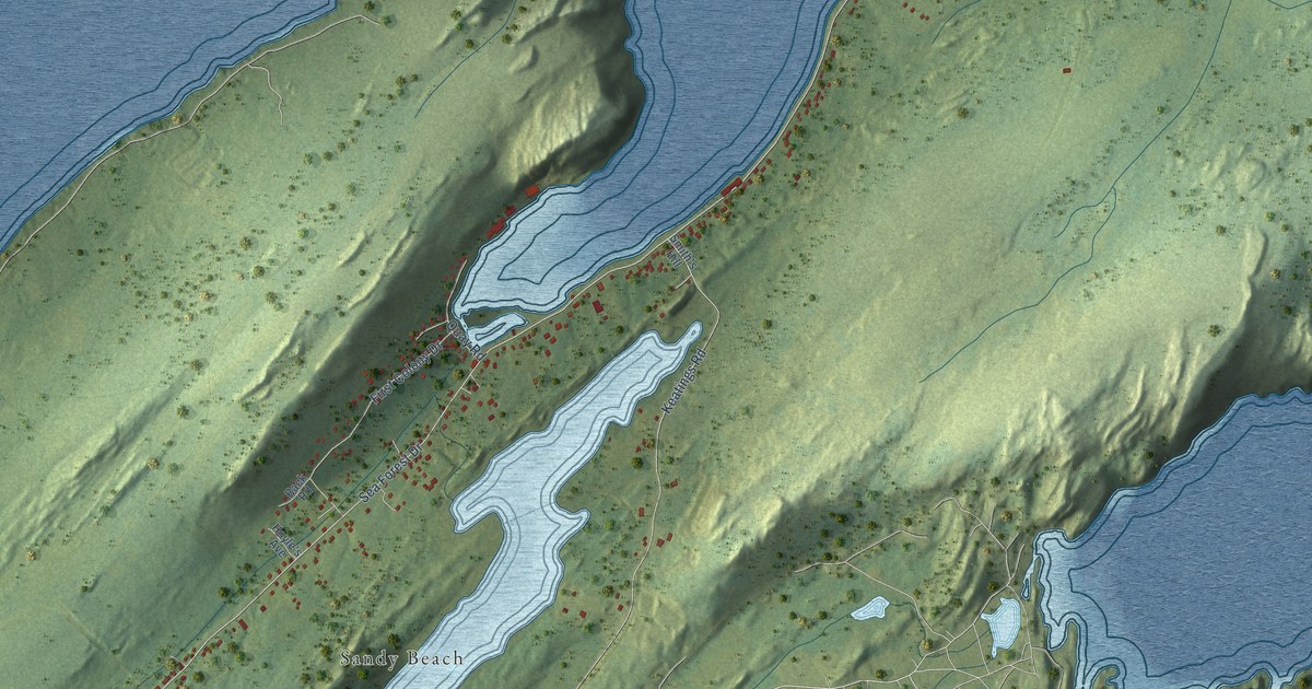
A detailed map of Cupids, Newfoundland and Labrador, showing every building in its true location, the roads by name, and shaded topographical relief.
Read More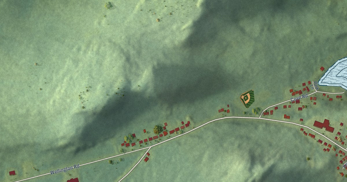
A detailed map of Dover, Newfoundland and Labrador, showing every building in its true location, the roads by name, and shaded topographical relief.
Read More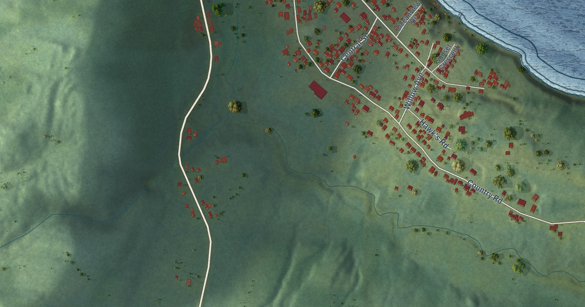
A detailed map of Cox’s Cove, Newfoundland and Labrador, showing every building in its true location, the roads by name, and shaded topographical relief.
Read More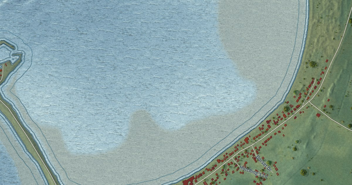
A detailed map of Cow Head, Newfoundland and Labrador, showing every building in its true location, the roads by name, and shaded topographical relief.
Read More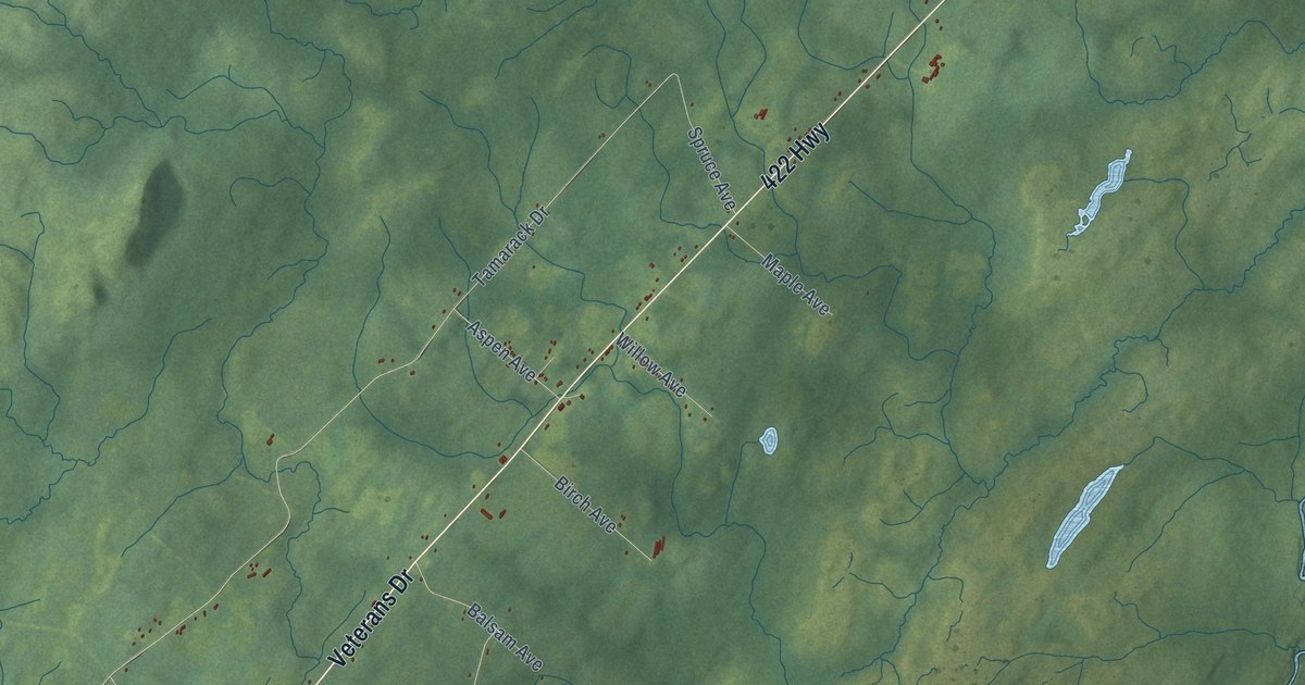
A detailed map of Cormack, Newfoundland and Labrador, showing every building in its true location, the roads by name, and shaded topographical relief.
Read More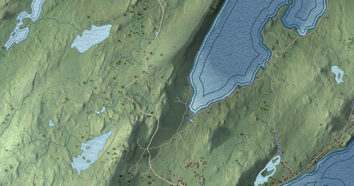
A detailed map of Conception Harbour, Newfoundland and Labrador, showing every building in its true location, the roads by name, and shaded topographical relief.
Read More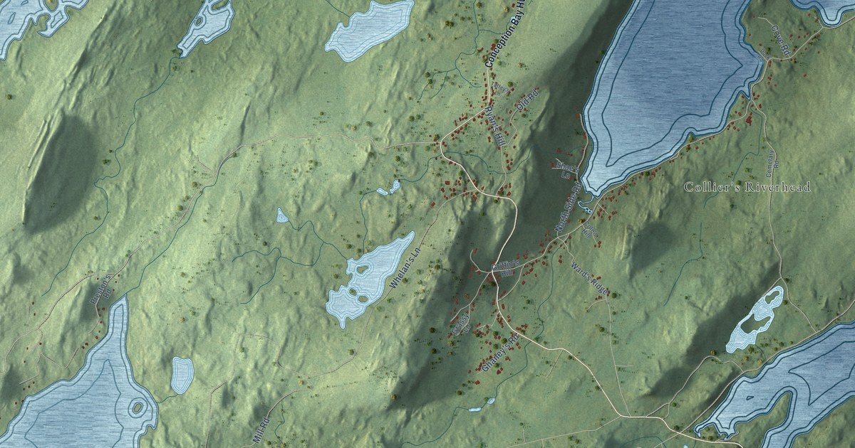
A detailed map of Colliers, Newfoundland and Labrador, showing every building in its true location, the roads by name, and shaded topographical relief.
Read More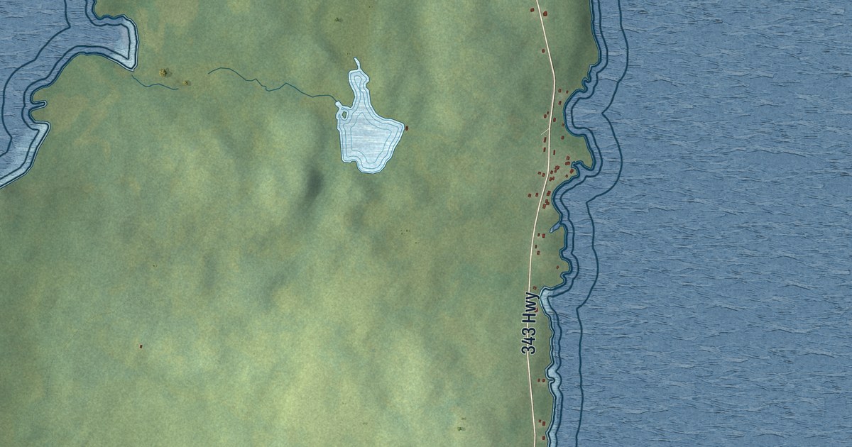
A detailed map of Comfort Cove-Newstead, Newfoundland and Labrador, showing every building in its true location, the roads by name, and shaded topographical relief.
Read More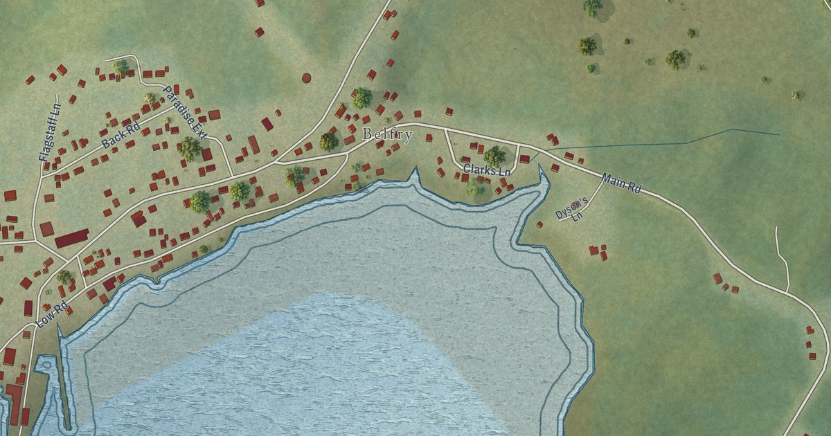
A detailed map of Cartwright, Newfoundland and Labrador, showing every building in its true location, the roads by name, and shaded topographical relief.
Read More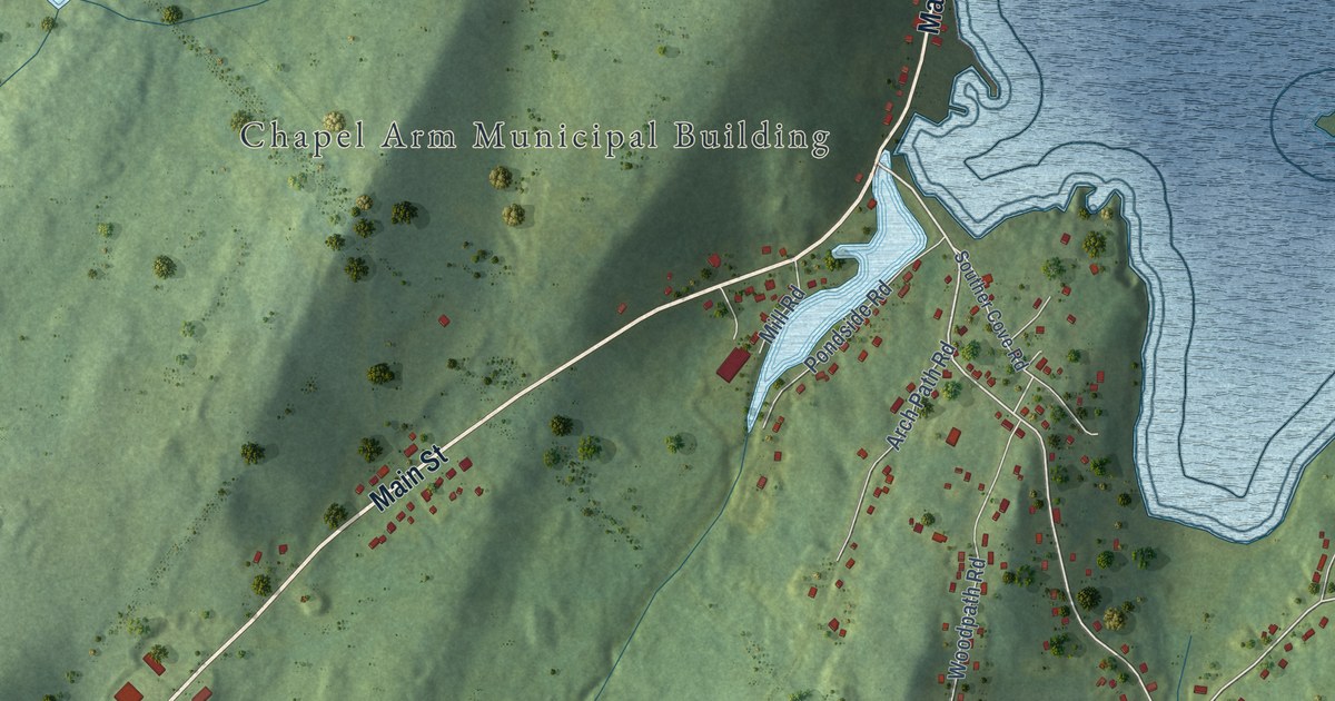
A detailed map of Chapel Arm, Newfoundland and Labrador, showing every building in its true location, the roads by name, and shaded topographical relief.
Read More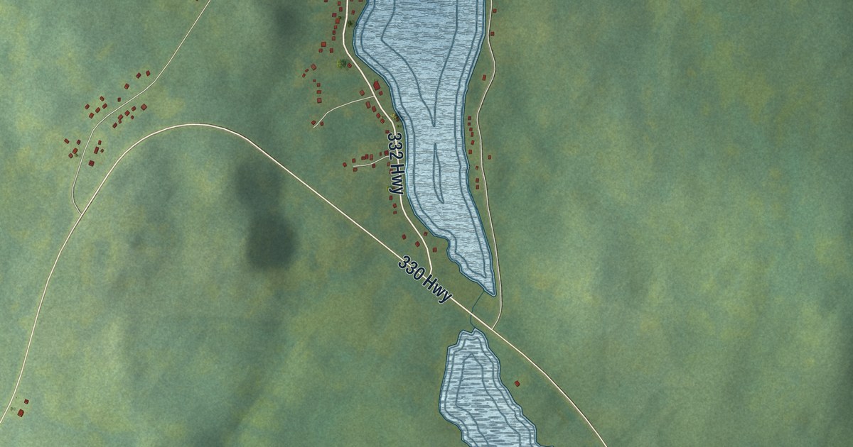
A detailed map of Carmanville, Newfoundland and Labrador, showing every building in its true location, the roads by name, and shaded topographical relief.
Read More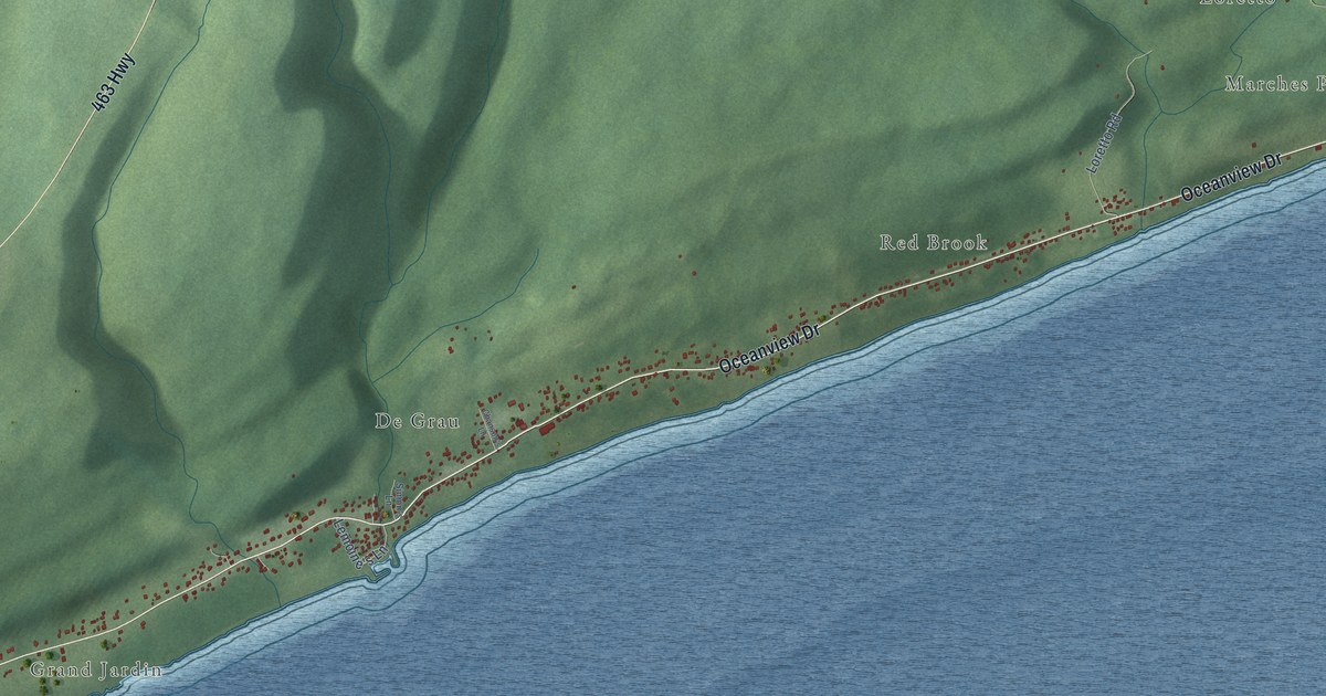
A detailed map of Cape St. George, Newfoundland and Labrador, showing every building in its true location, the roads by name, and shaded topographical relief.
Read More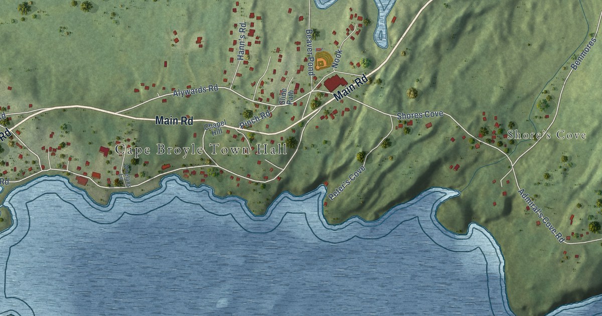
A detailed map of Cape Broyle, Newfoundland and Labrador, showing every building in its true location, the roads by name, and shaded topographical relief.
Read More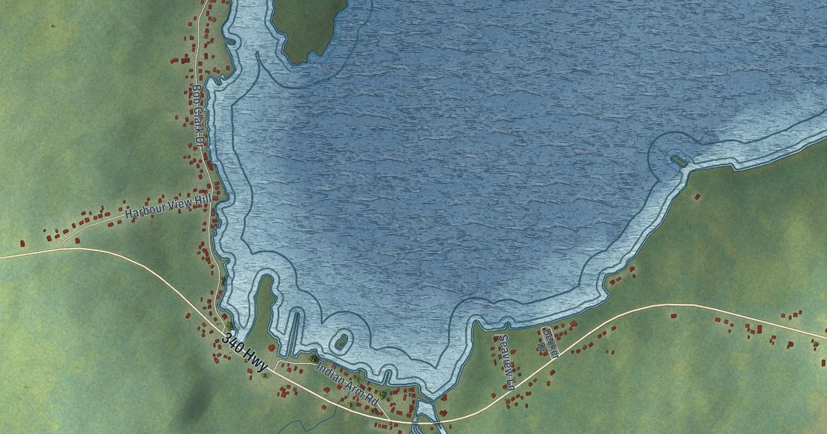
A detailed map of Campbellton, Newfoundland and Labrador, showing every building in its true location, the roads by name, and shaded topographical relief.
Read More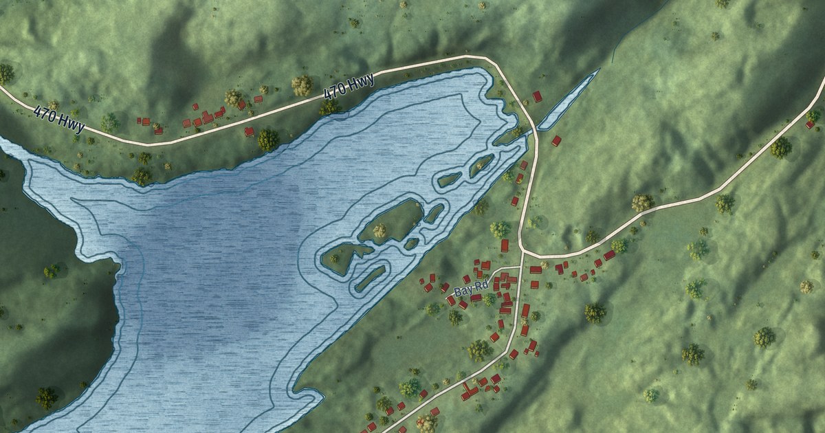
A detailed map of Burnt Islands, Newfoundland and Labrador, showing every building in its true location, the roads by name, and shaded topographical relief.
Read More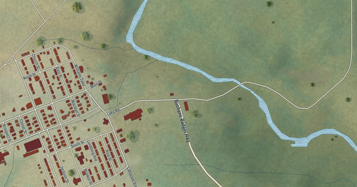
A detailed map of Buchans, Newfoundland and Labrador, showing every building in its true location, the roads by name, and shaded topographical relief.
Read More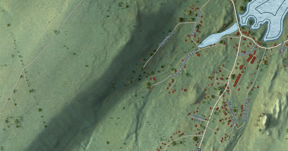
A detailed map of Avondale, Newfoundland and Labrador, showing every building in its true location, the roads by name, and shaded topographical relief.
Read More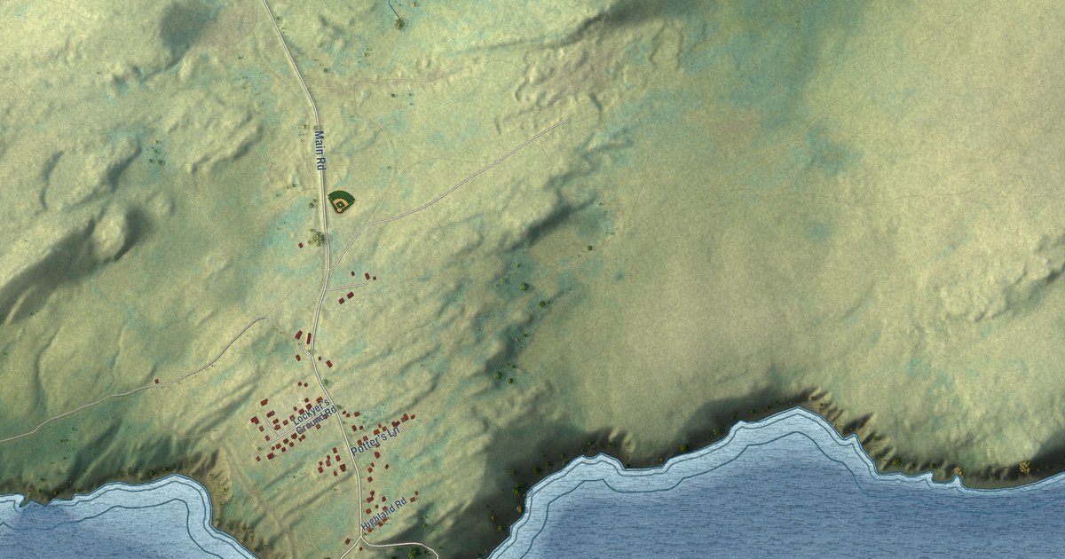
A detailed map of Bay de Verde, Newfoundland and Labrador, showing every building in its true location, the roads by name, and shaded topographical relief.
Read More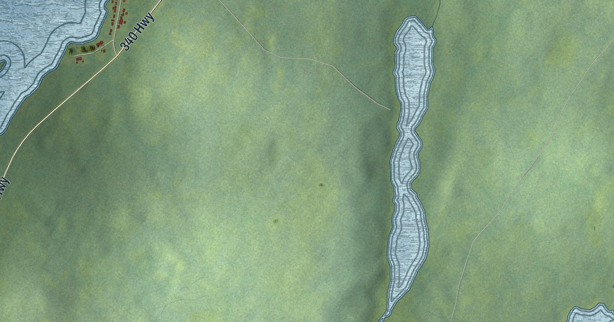
A detailed map of Birchy Bay, Newfoundland and Labrador, showing every building in its true location, the roads by name, and shaded topographical relief.
Read More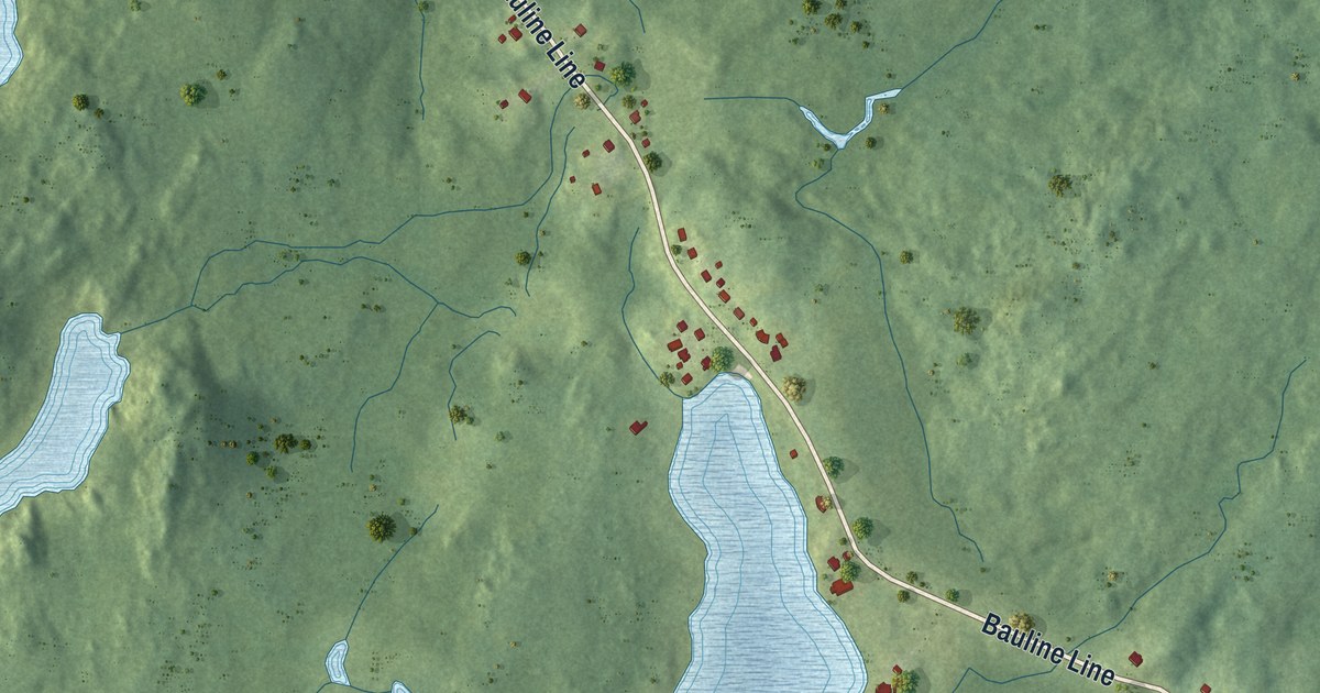
A detailed map of Bauline, Newfoundland and Labrador, showing every building in its true location, the roads by name, and shaded topographical relief.
Read More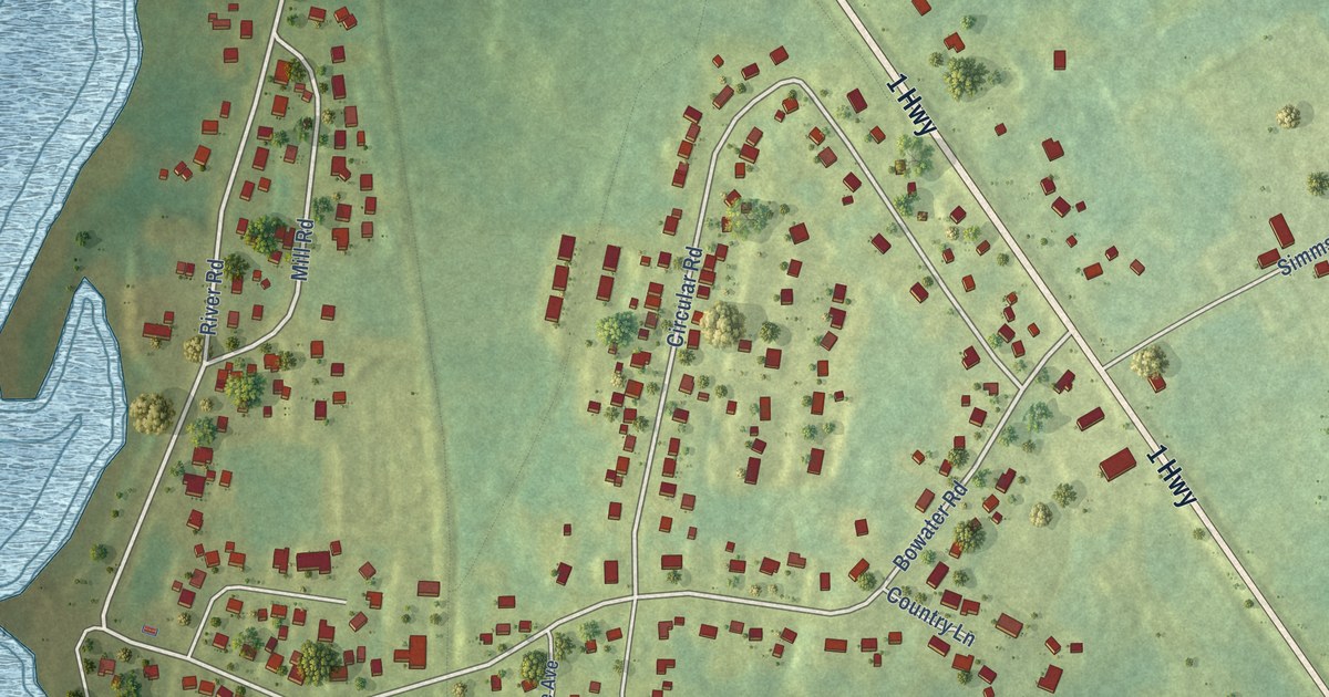
A detailed map of Appleton, Newfoundland and Labrador, showing every building in its true location, the roads by name, and shaded topographical relief.
Read More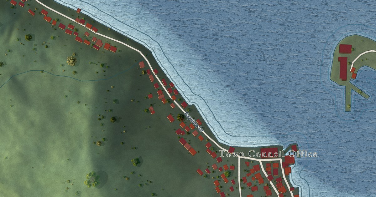
A detailed map of Belleoram, Newfoundland and Labrador, showing every building in its true location, the roads by name, and shaded topographical relief.
Read More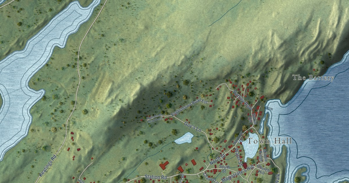
A detailed map of Brigus, Newfoundland and Labrador, showing every building in its true location, the roads by name, and shaded topographical relief.
Read More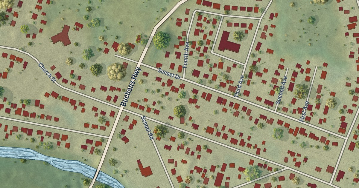
A detailed map of Badger, Newfoundland and Labrador, showing every building in its true location, the roads by name, and shaded topographical relief.
Read More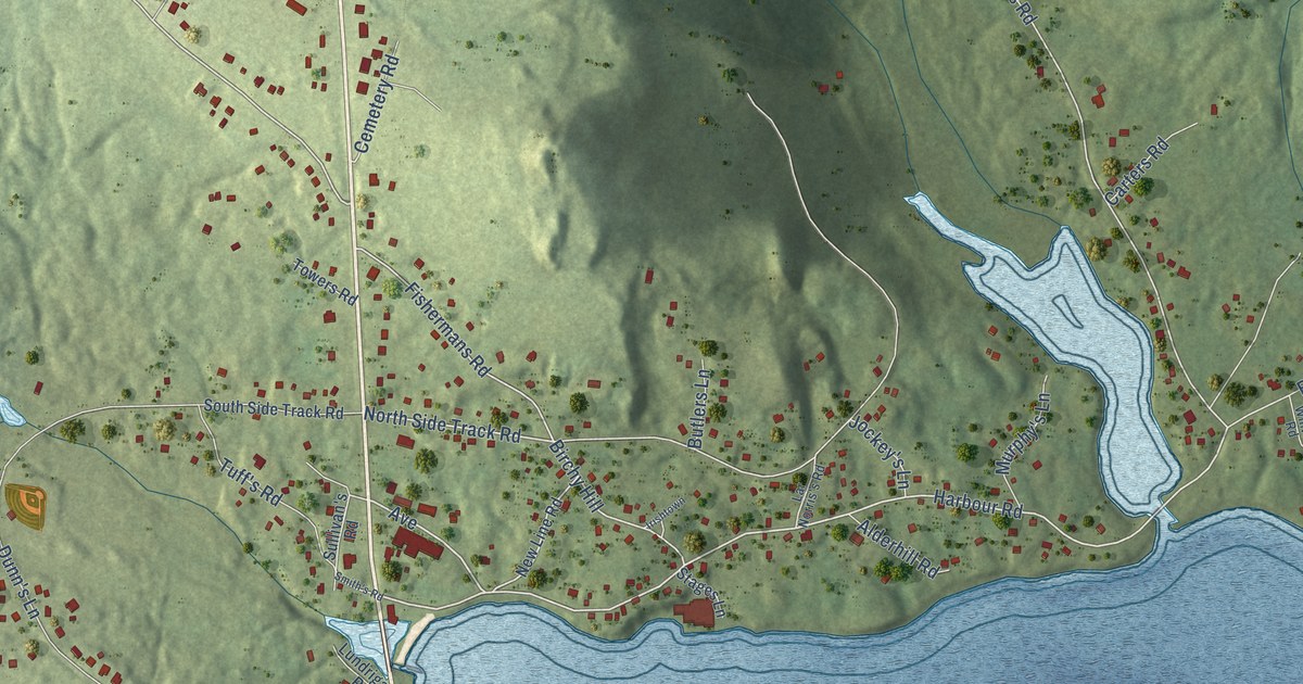
A detailed map of Witless Bay, Newfoundland and Labrador, showing every building in its true location, the roads by name, and shaded topographical relief.
Read More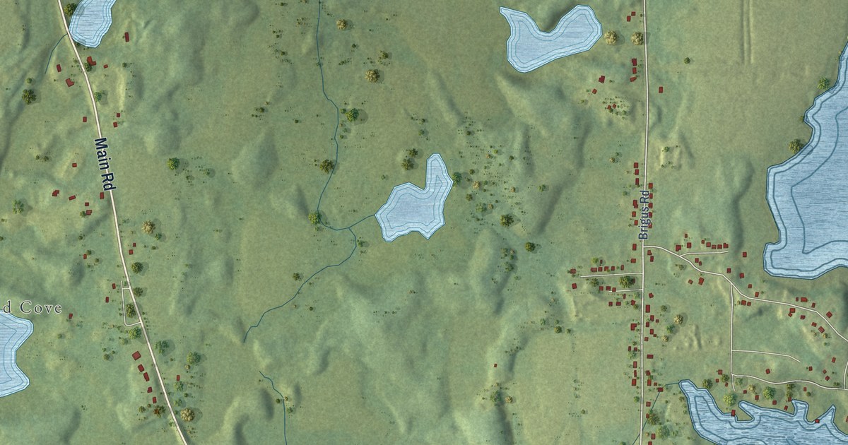
A detailed map of Whitbourne, Newfoundland and Labrador, showing every building in its true location, the roads by name, and shaded topographical relief.
Read More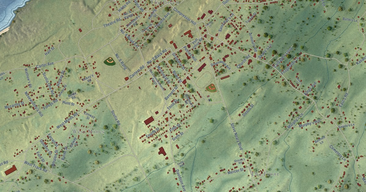
A detailed map of Wabana, Newfoundland and Labrador, showing every building in its true location, the roads by name, and shaded topographical relief.
Read More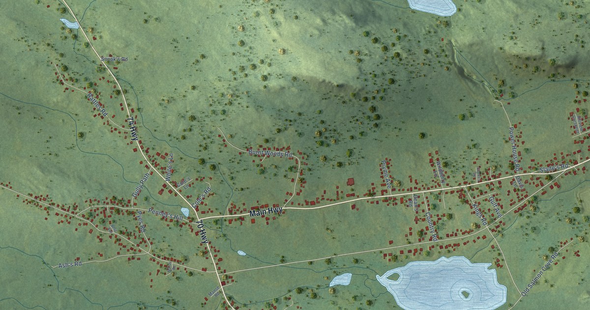
A detailed map of Victoria, Newfoundland and Labrador, showing every building in its true location, the roads by name, and shaded topographical relief.
Read More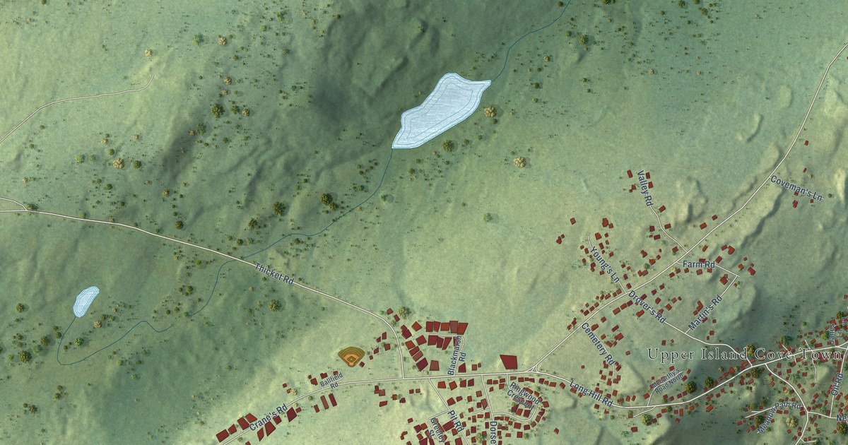
A detailed map of Upper Island Cove, Newfoundland and Labrador, showing every building in its true location, the roads by name, and shaded topographical relief.
Read More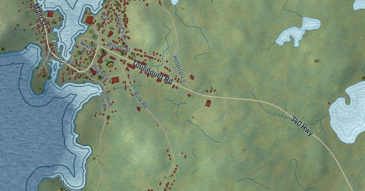
A detailed map of Twillingate, Newfoundland and Labrador, showing every building in its true location, the roads by name, and shaded topographical relief.
Read More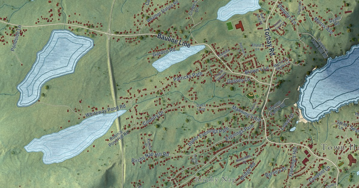
A detailed map of Torbay, Newfoundland and Labrador, showing every building in its true location, the roads by name, and shaded topographical relief.
Read More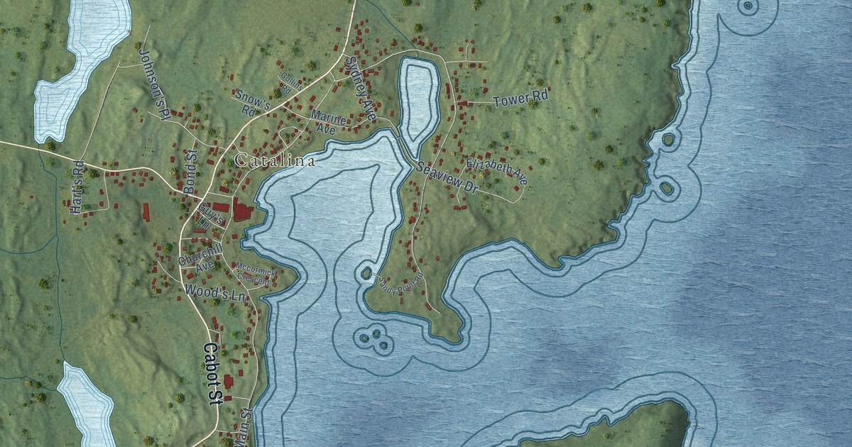
A detailed map of Trinity Bay North, Newfoundland and Labrador, showing every building in its true location, the roads by name, and shaded topographical relief.
Read More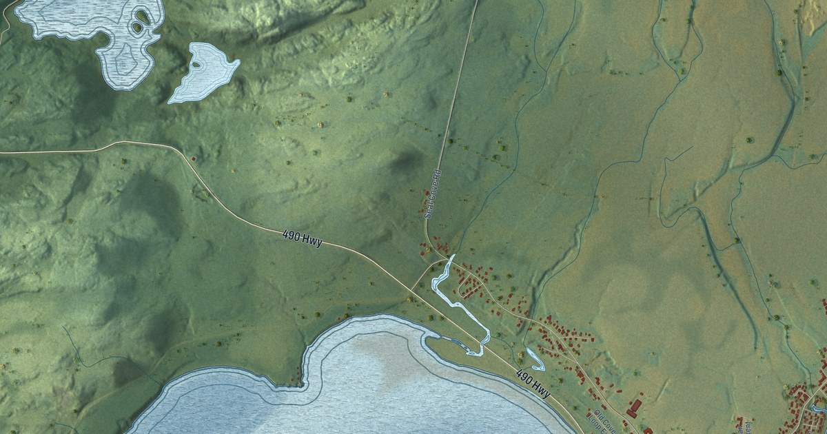
A detailed map of Stephenville Crossing, Newfoundland and Labrador, showing every building in its true location, the roads by name, and shaded topographical relief.
Read More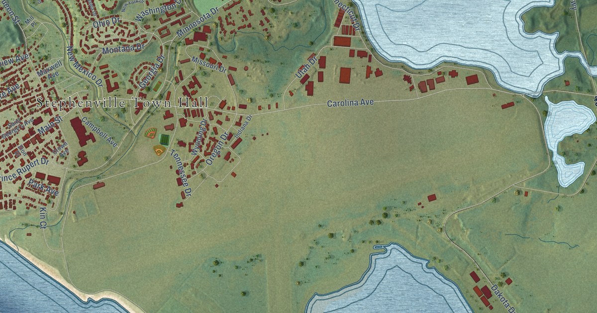
A detailed map of Stephenville, Newfoundland and Labrador, showing every building in its true location, the roads by name, and shaded topographical relief.
Read More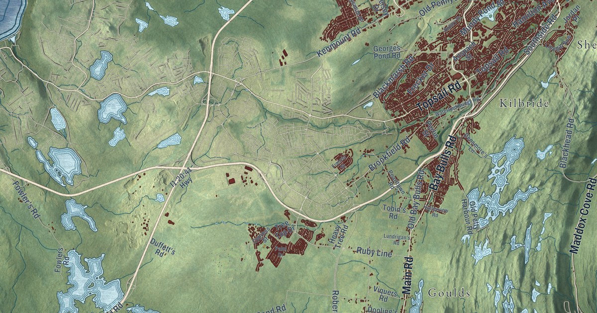
A detailed map of St. John’s, Newfoundland and Labrador, showing every building in its true location, the roads by name, and shaded topographical relief.
Read More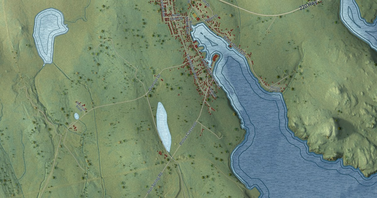
A detailed map of St. Lawrence, Newfoundland and Labrador, showing every building in its true location, the roads by name, and shaded topographical relief.
Read More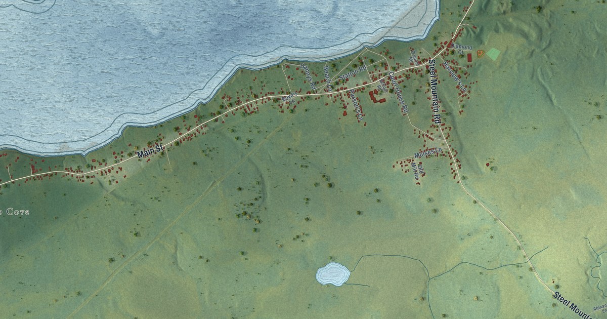
A detailed map of St. George’s, Newfoundland and Labrador, showing every building in its true location, the roads by name, and shaded topographical relief.
Read More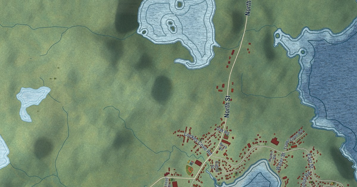
A detailed map of St. Anthony, Newfoundland and Labrador, showing every building in its true location, the roads by name, and shaded topographical relief.
Read More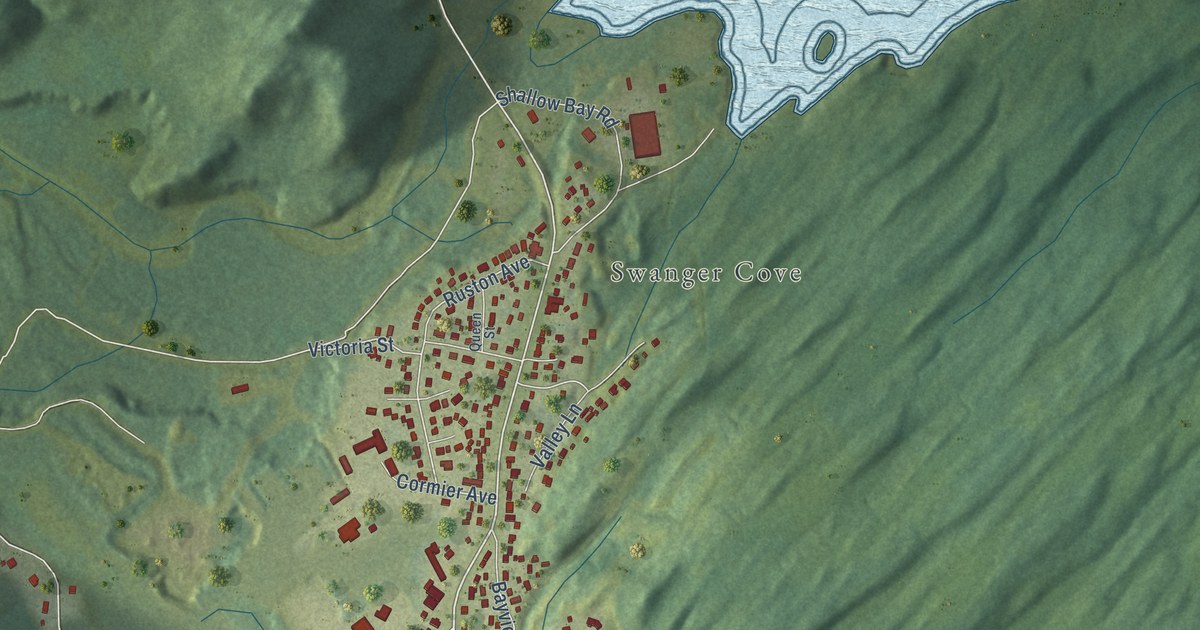
A detailed map of St. Alban’s, Newfoundland and Labrador, showing every building in its true location, the roads by name, and shaded topographical relief.
Read More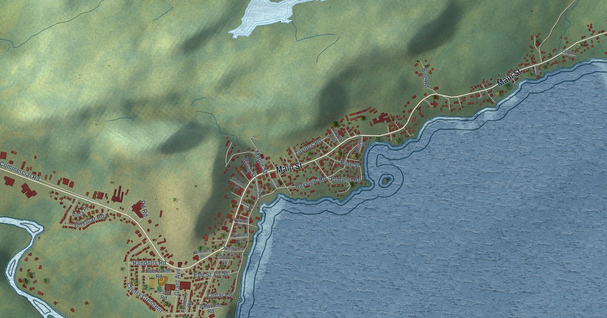
A detailed map of Springdale, Newfoundland and Labrador, showing every building in its true location, the roads by name, and shaded topographical relief.
Read More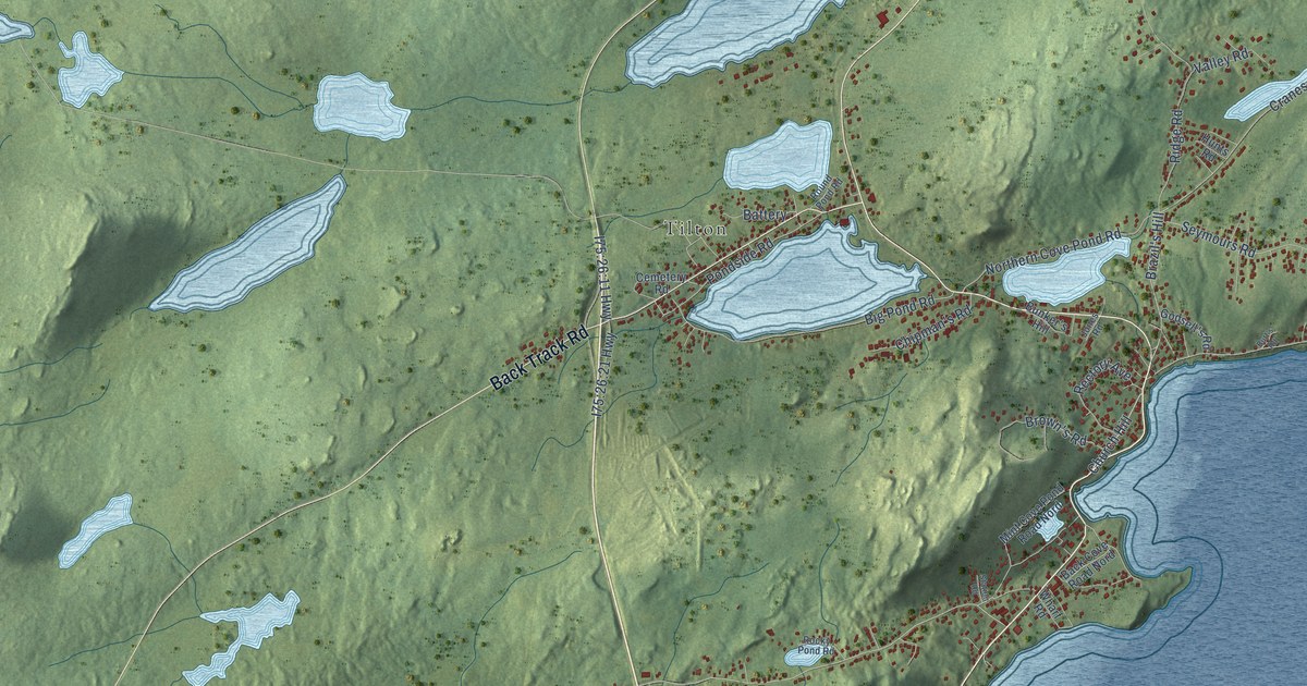
A detailed map of Spaniard’s Bay, Newfoundland and Labrador, showing every building in its true location, the roads by name, and shaded topographical relief.
Read More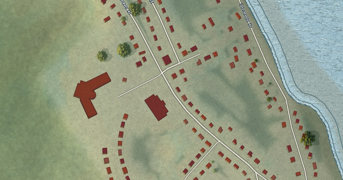
A detailed map of Sheshatshiu, Newfoundland and Labrador, showing every building in its true location, the roads by name, and shaded topographical relief.
Read More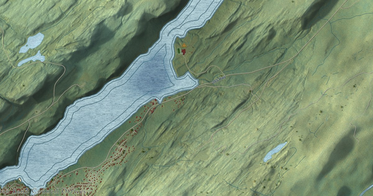
A detailed map of Miawpukek, Newfoundland and Labrador, showing every building in its true location, the roads by name, and shaded topographical relief.
Read More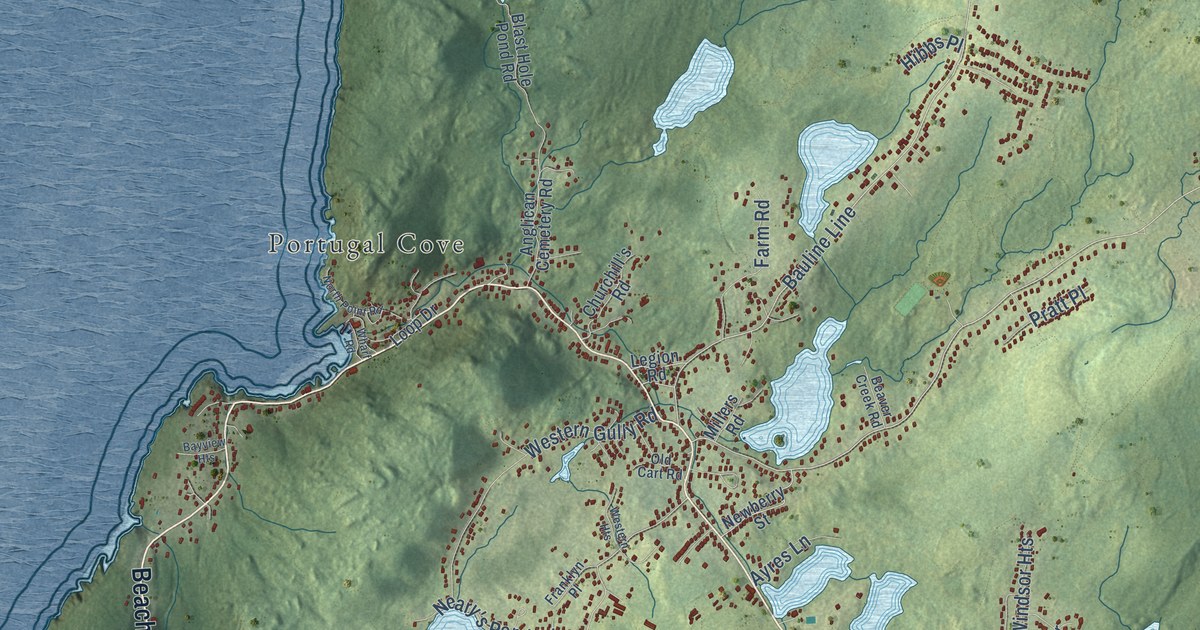
A detailed map of Portugal Cove-St. Philip’s, Newfoundland and Labrador, showing every building in its true location, the roads by name, and shaded topographical relief.
Read More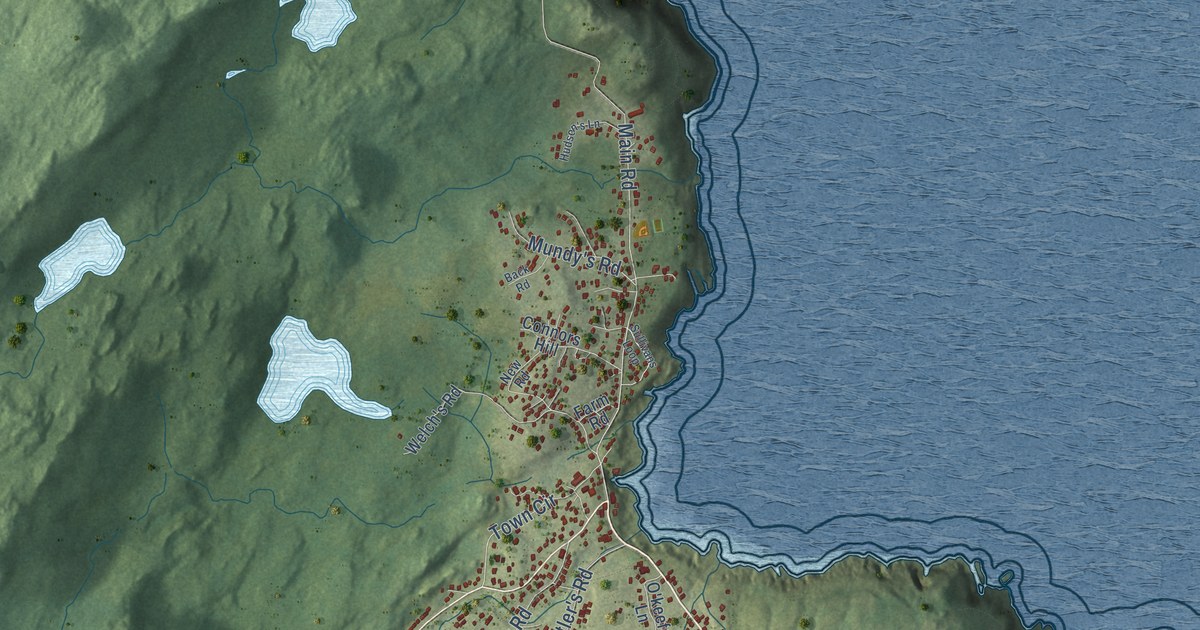
A detailed map of Pouch Cove, Newfoundland and Labrador, showing every building in its true location, the roads by name, and shaded topographical relief.
Read More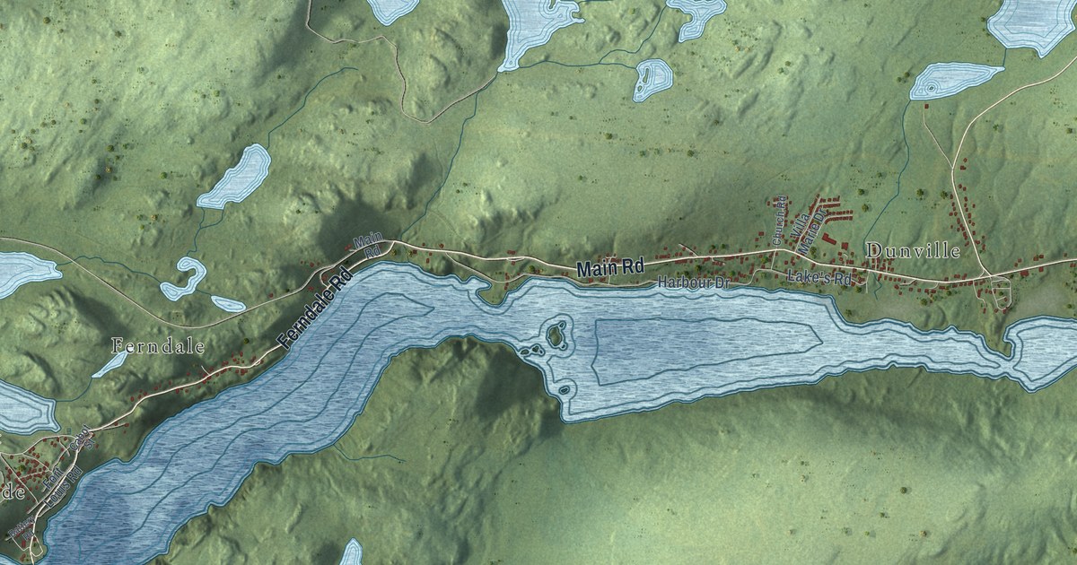
A detailed map of Placentia, Newfoundland and Labrador, showing every building in its true location, the roads by name, and shaded topographical relief.
Read More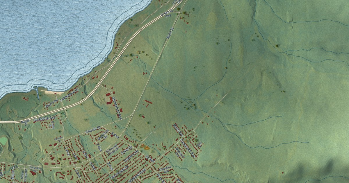
A detailed map of Pasadena, Newfoundland and Labrador, showing every building in its true location, the roads by name, and shaded topographical relief.
Read More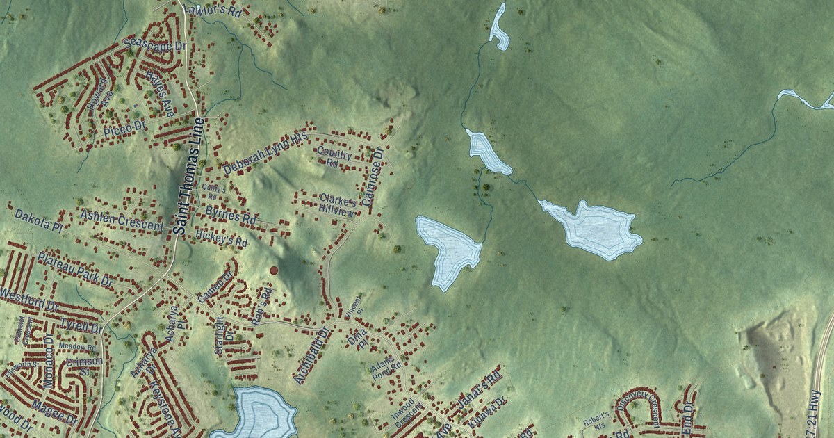
A detailed map of Paradise, Newfoundland and Labrador, showing every building in its true location, the roads by name, and shaded topographical relief.
Read More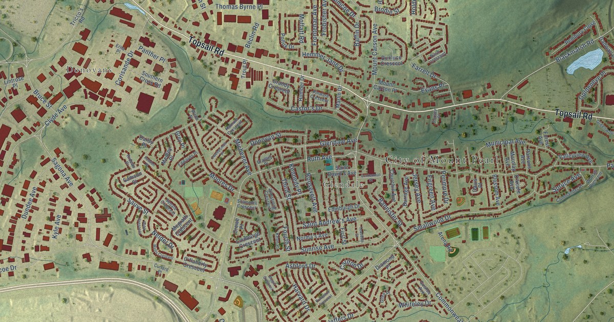
A detailed map of Mount Pearl, Newfoundland and Labrador, showing every building in its true location, the roads by name, and shaded topographical relief.
Read More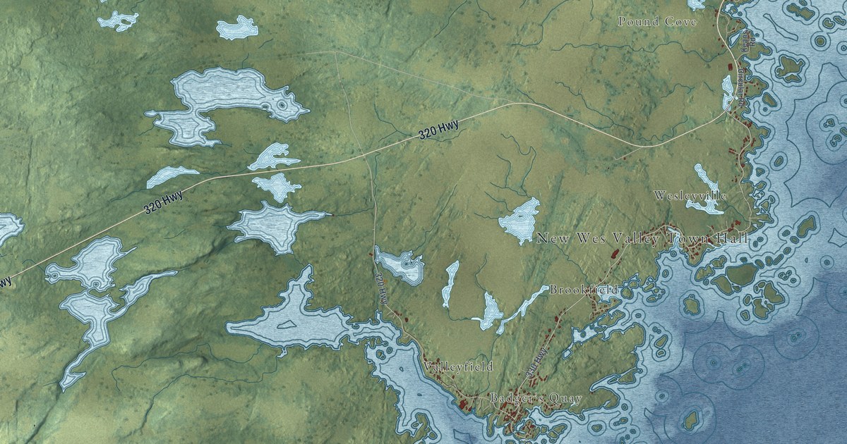
A detailed map of New-Wes-Valley, Newfoundland and Labrador, showing every building in its true location, the roads by name, and shaded topographical relief.
Read More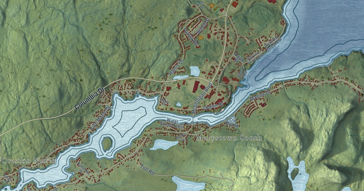
A detailed map of Marystown, Newfoundland and Labrador, showing every building in its true location, the roads by name, and shaded topographical relief.
Read More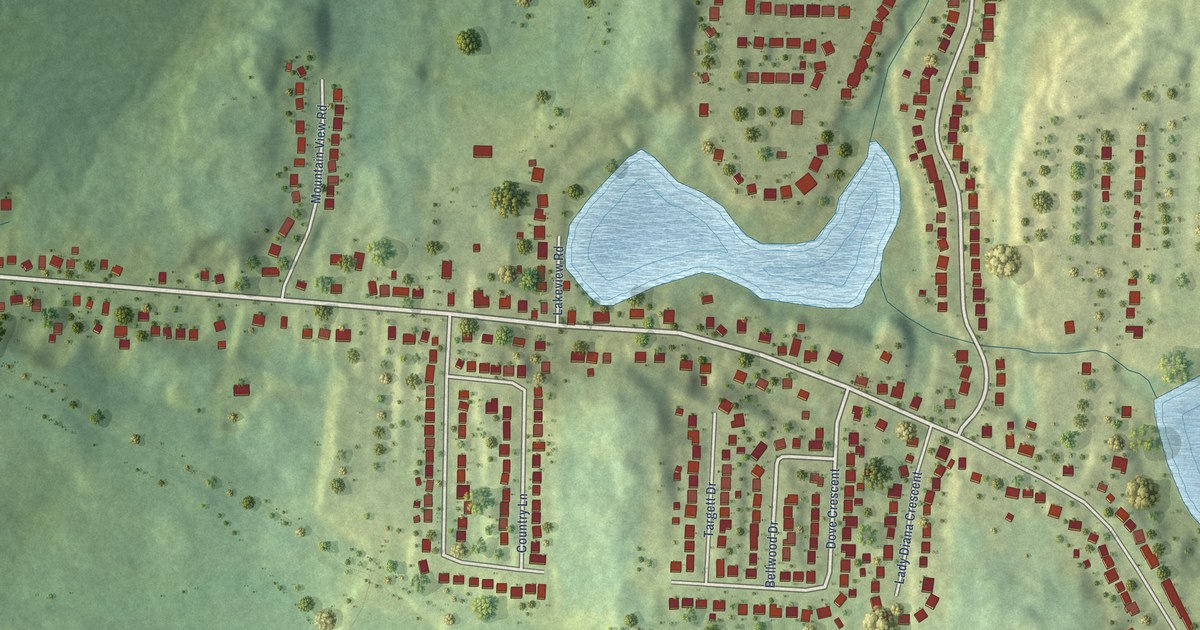
A detailed map of Massey Drive, Newfoundland and Labrador, showing every building in its true location, the roads by name, and shaded topographical relief.
Read More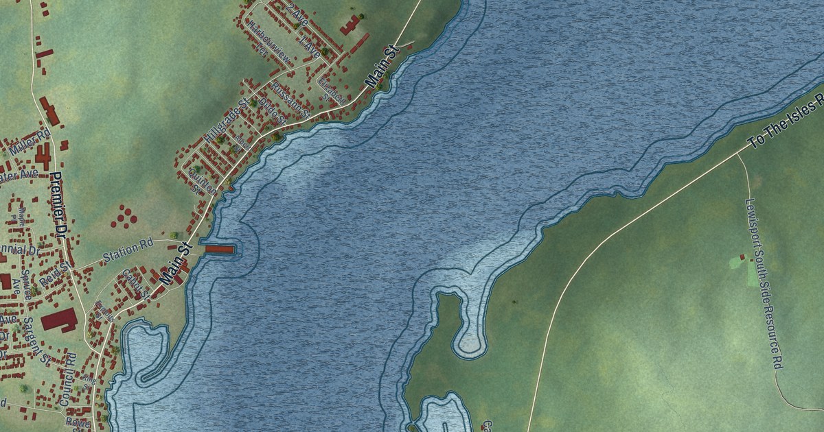
A detailed map of Lewisporte, Newfoundland and Labrador, showing every building in its true location, the roads by name, and shaded topographical relief.
Read More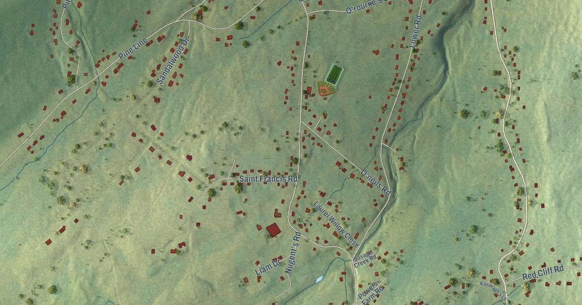
A detailed map of Logy Bay-Middle Cove-Outer Cove, Newfoundland and Labrador, showing every building in its true location, the roads by name, and shaded topographical relief.
Read More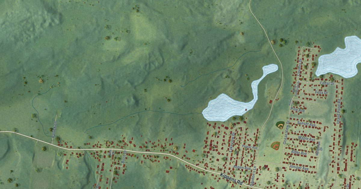
A detailed map of Kippens, Newfoundland and Labrador, showing every building in its true location, the roads by name, and shaded topographical relief.
Read More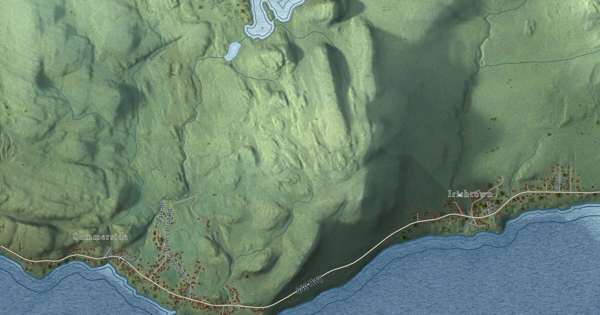
A detailed map of Irishtown-Summerside, Newfoundland and Labrador, showing every building in its true location, the roads by name, and shaded topographical relief.
Read More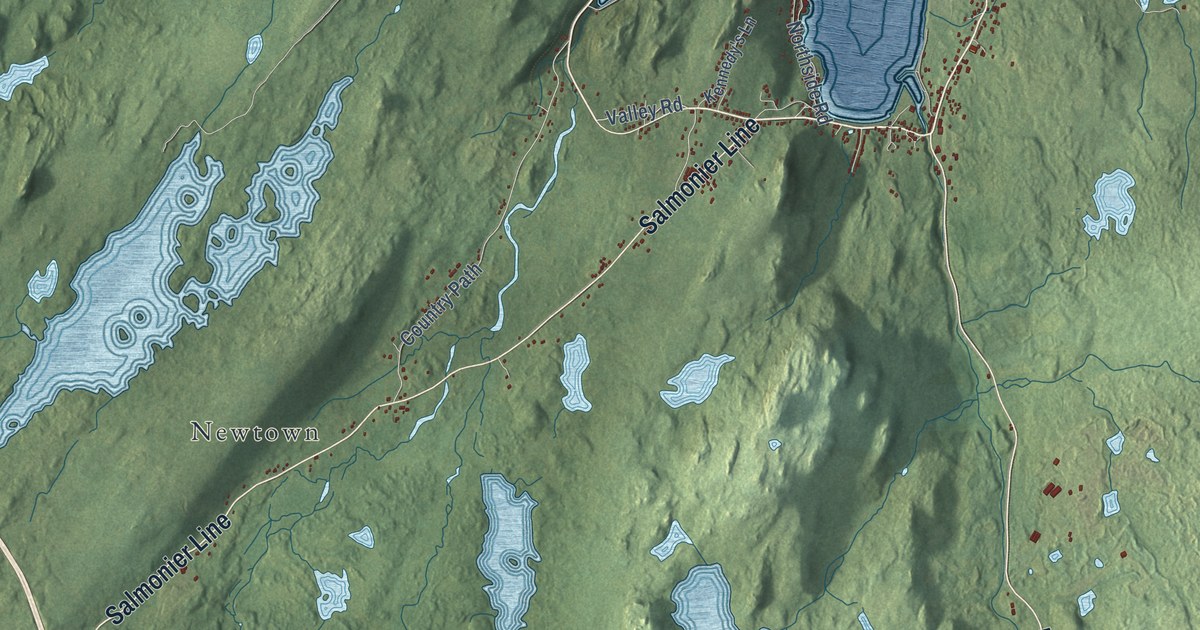
A detailed map of Holyrood, Newfoundland and Labrador, showing every building in its true location, the roads by name, and shaded topographical relief.
Read More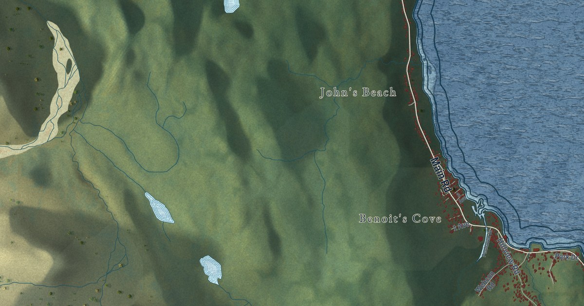
A detailed map of Humber Arm South, Newfoundland and Labrador, showing every building in its true location, the roads by name, and shaded topographical relief.
Read More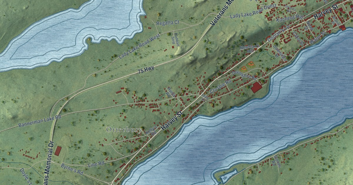
A detailed map of Harbour Grace, Newfoundland and Labrador, showing every building in its true location, the roads by name, and shaded topographical relief.
Read More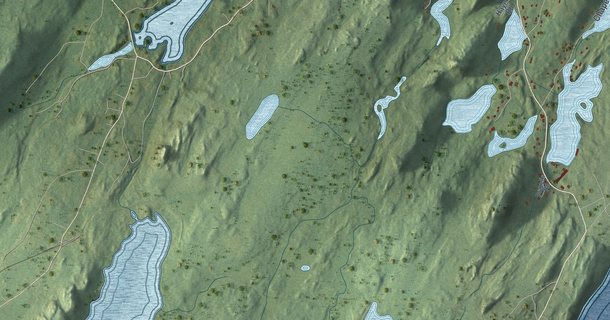
A detailed map of Harbour Main-Chapel’s Cove-Lakeview, Newfoundland and Labrador, showing every building in its true location, the roads by name, and shaded topographical relief.
Read More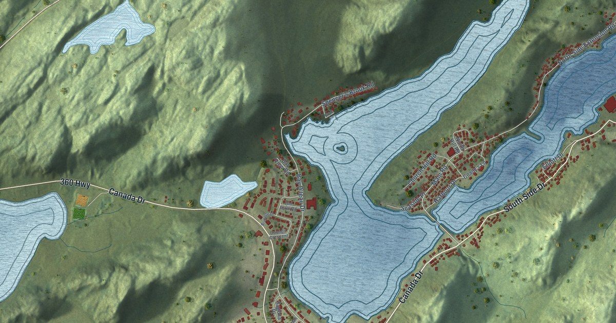
A detailed map of Harbour Breton, Newfoundland and Labrador, showing every building in its true location, the roads by name, and shaded topographical relief.
Read More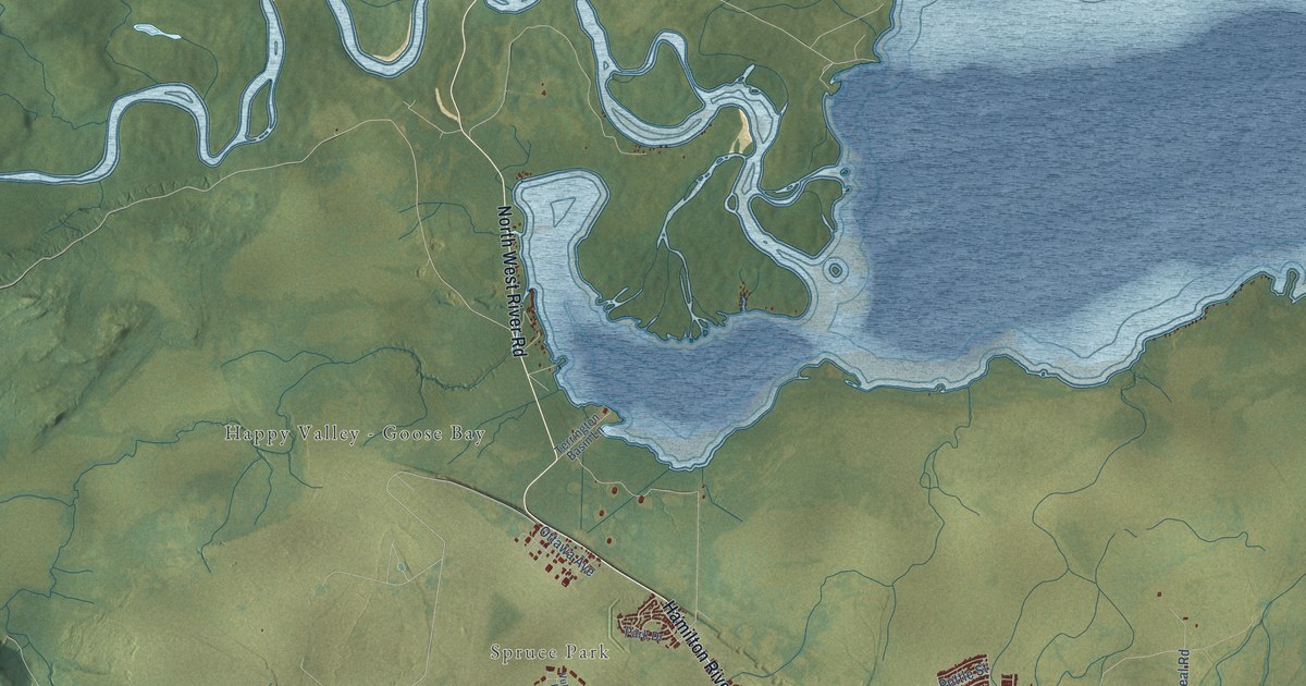
A detailed map of Happy Valley-Goose Bay, Newfoundland and Labrador, showing every building in its true location, the roads by name, and shaded topographical relief.
Read More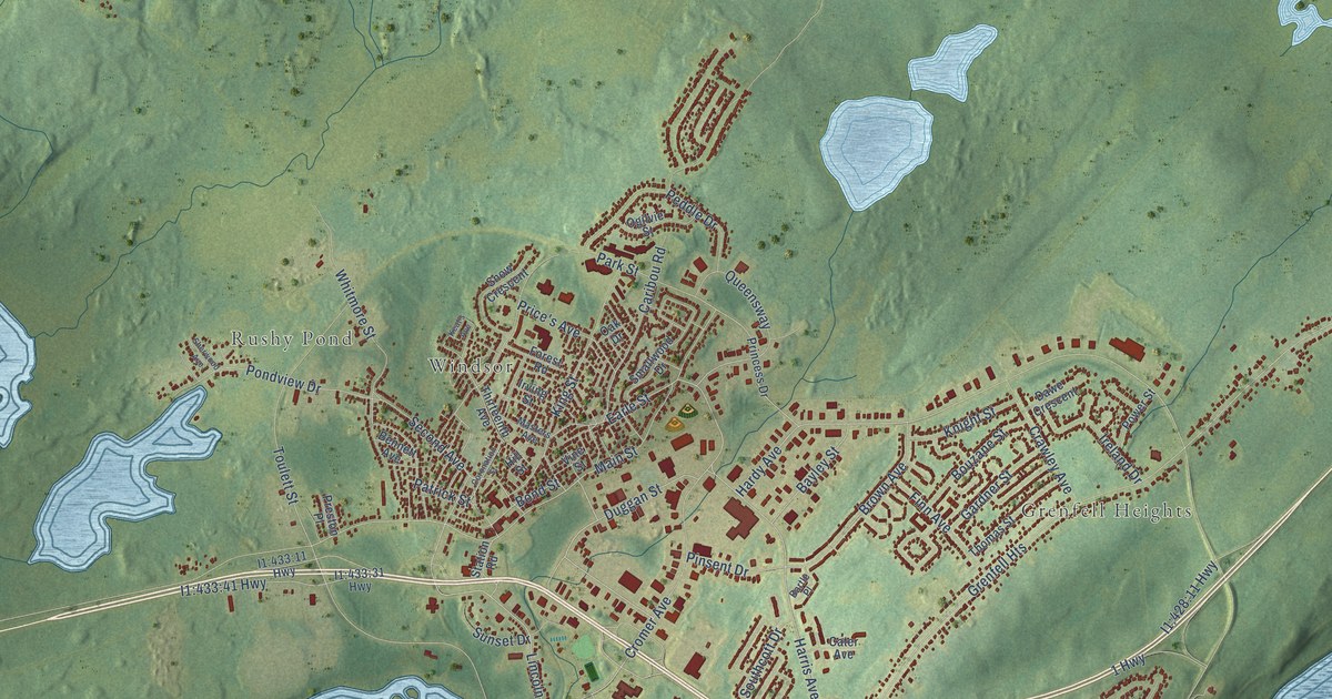
A detailed map of Grand Falls-Windsor, Newfoundland and Labrador, showing every building in its true location, the roads by name, and shaded topographical relief.
Read More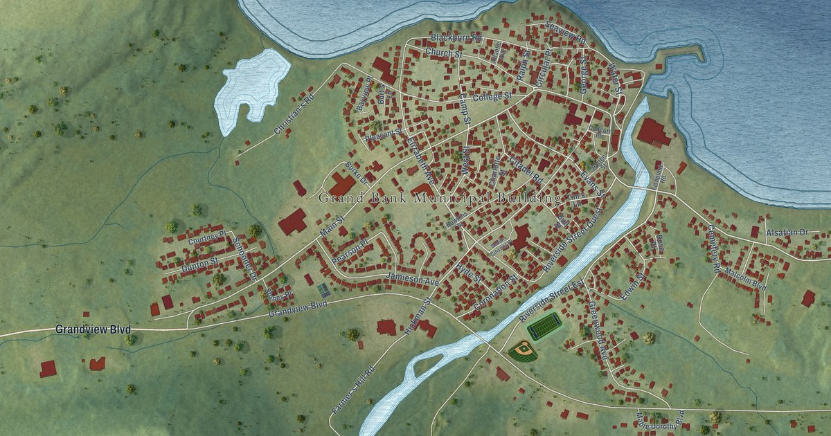
A detailed map of Grand Bank, Newfoundland and Labrador, showing every building in its true location, the roads by name, and shaded topographical relief.
Read More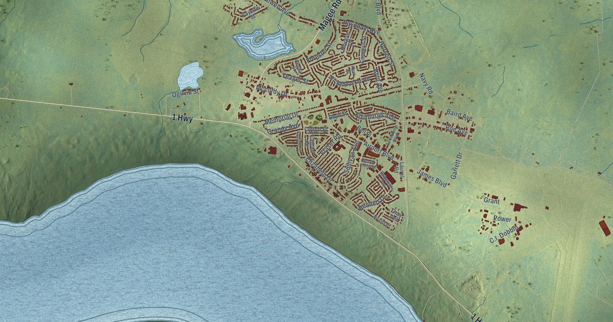
A detailed map of Gander, Newfoundland and Labrador, showing every building in its true location, the roads by name, and shaded topographical relief.
Read More
A detailed map of Glovertown, Newfoundland and Labrador, showing every building in its true location, the roads by name, and shaded topographical relief.
Read More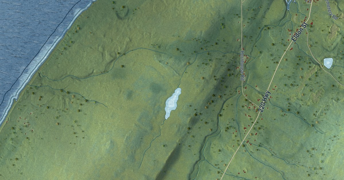
A detailed map of Fortune, Newfoundland and Labrador, showing every building in its true location, the roads by name, and shaded topographical relief.
Read More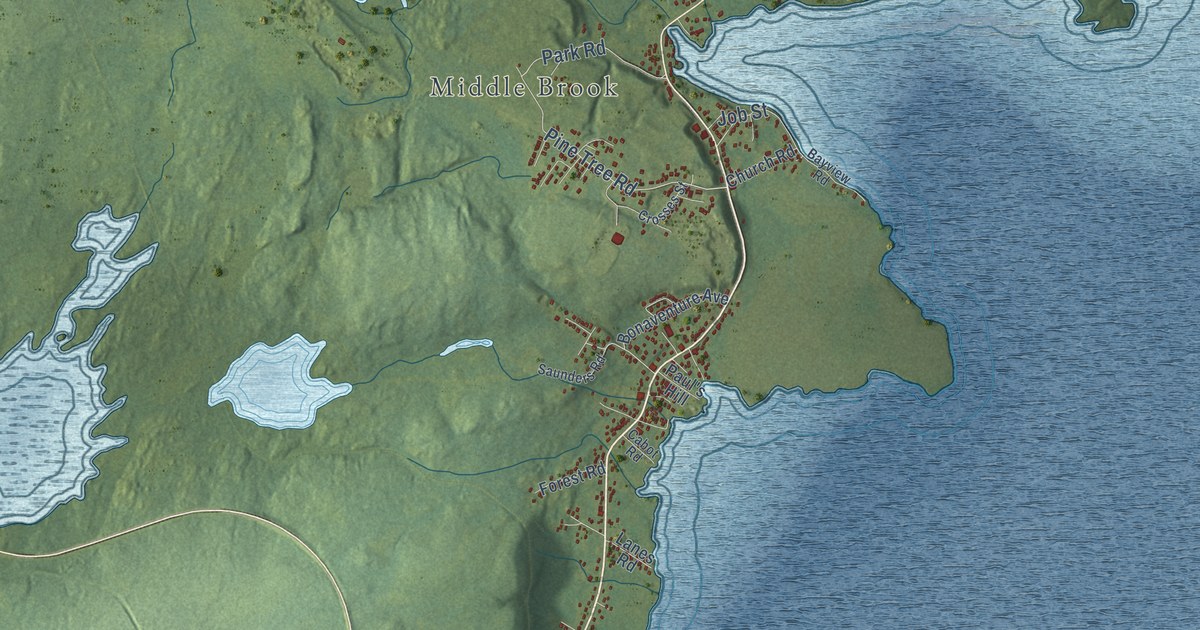
A detailed map of Gambo, Newfoundland and Labrador, showing every building in its true location, the roads by name, and shaded topographical relief.
Read More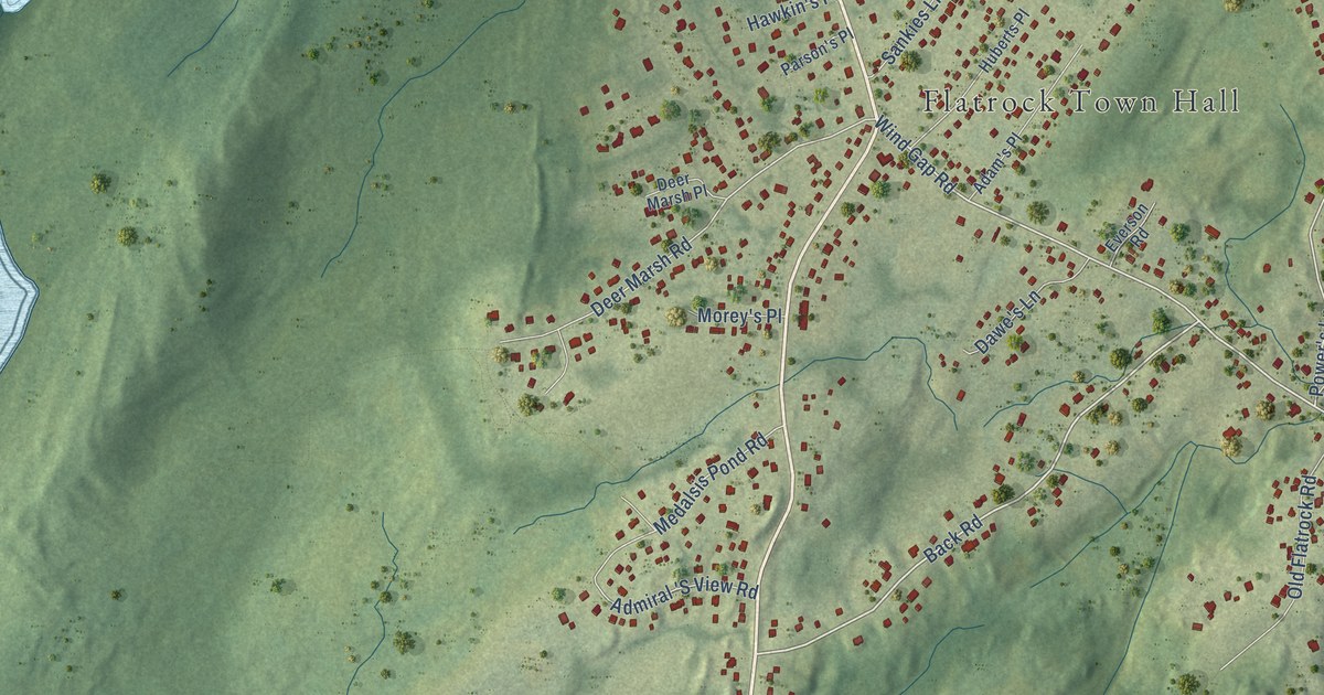
A detailed map of Flatrock, Newfoundland and Labrador, showing every building in its true location, the roads by name, and shaded topographical relief.
Read More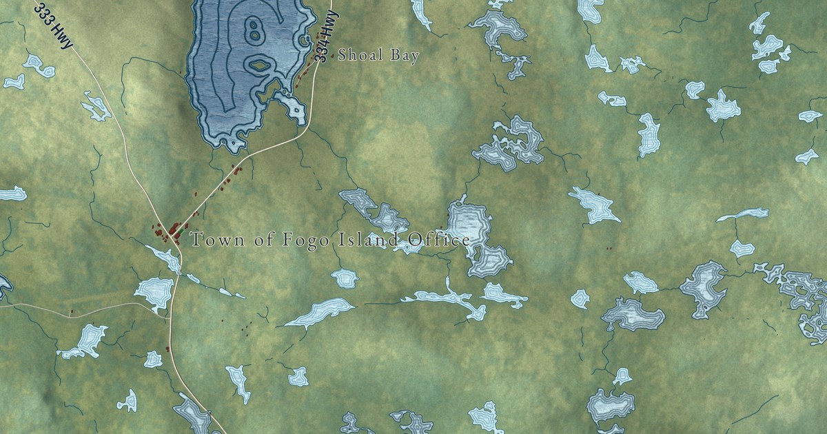
A detailed map of Fogo Island, Newfoundland and Labrador, showing every building in its true location, the roads by name, and shaded topographical relief.
Read More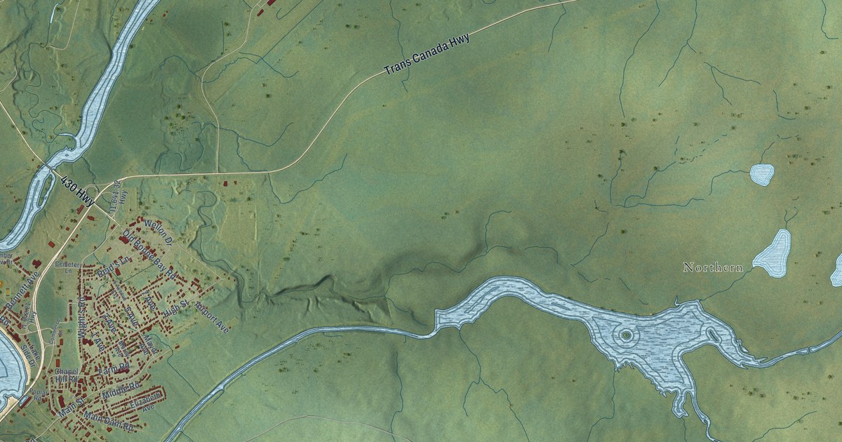
A detailed map of Deer Lake, Newfoundland and Labrador, showing every building in its true location, the roads by name, and shaded topographical relief.
Read More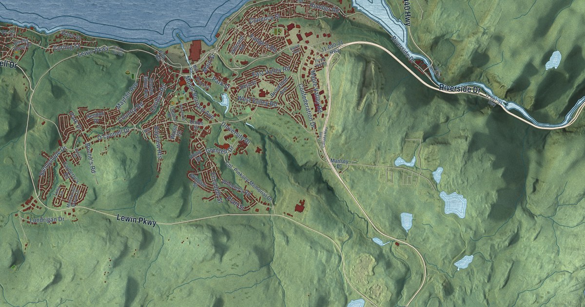
A detailed map of Corner Brook, Newfoundland and Labrador, showing every building in its true location, the roads by name, and shaded topographical relief.
Read More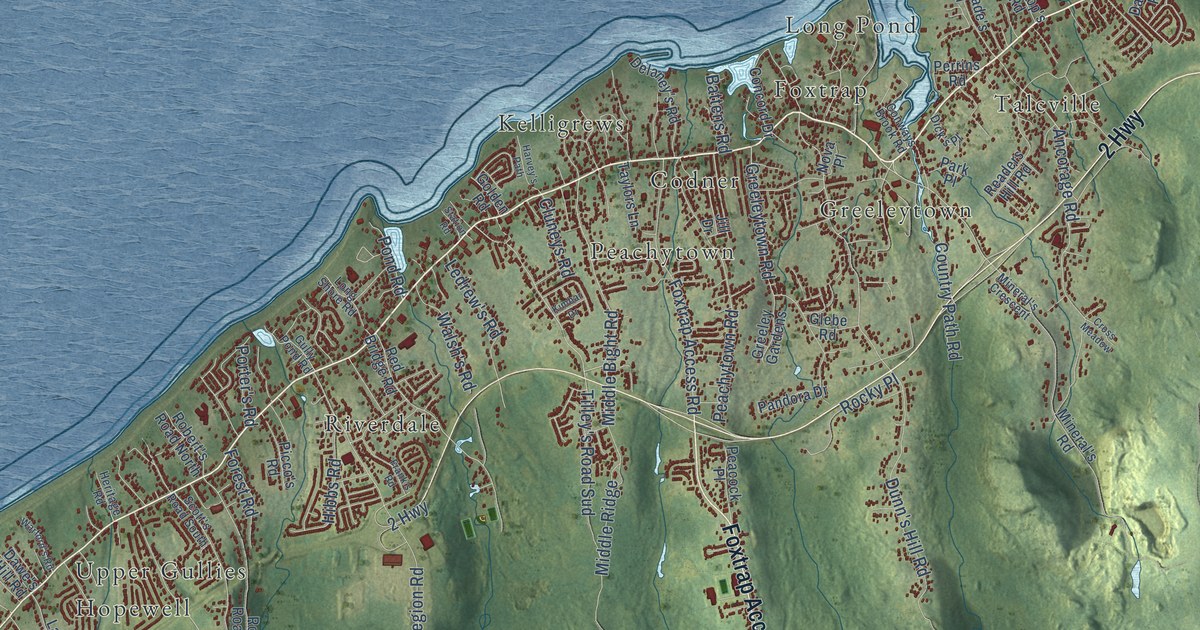
A detailed map of Conception Bay South, Newfoundland and Labrador, showing every building in its true location, the roads by name, and shaded topographical relief.
Read More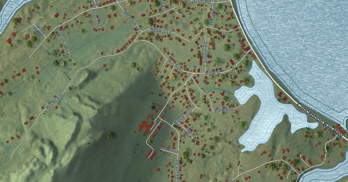
A detailed map of Clarke’s Beach, Newfoundland and Labrador, showing every building in its true location, the roads by name, and shaded topographical relief.
Read More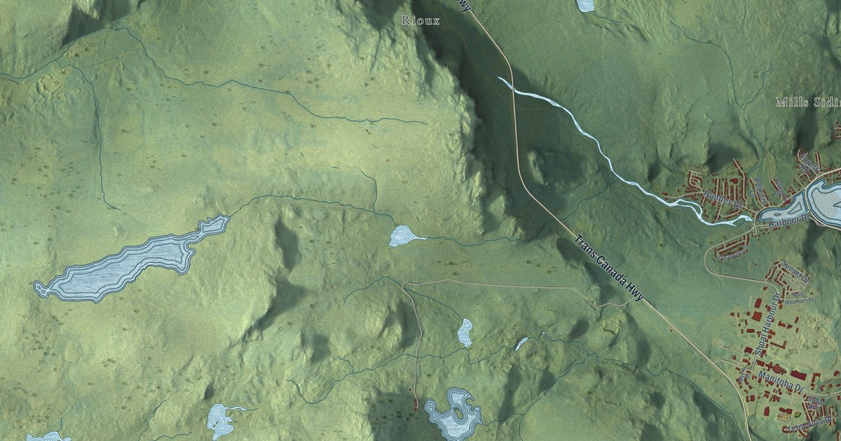
A detailed map of Clarenville, Newfoundland and Labrador, showing every building in its true location, the roads by name, and shaded topographical relief.
Read More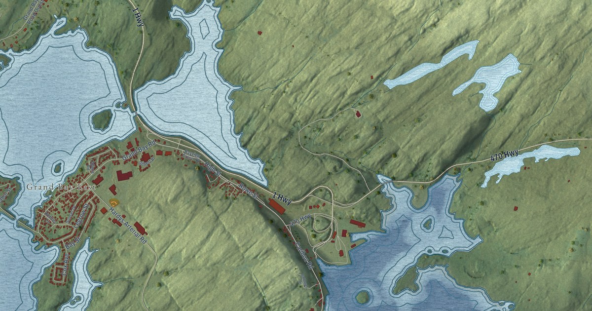
A detailed map of Channel-Port aux Basques, Newfoundland and Labrador, showing every building in its true location, the roads by name, and shaded topographical relief.
Read More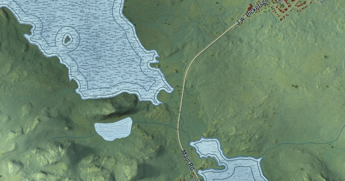
A detailed map of Centreville-Wareham-Trinity, Newfoundland and Labrador, showing every building in its true location, the roads by name, and shaded topographical relief.
Read More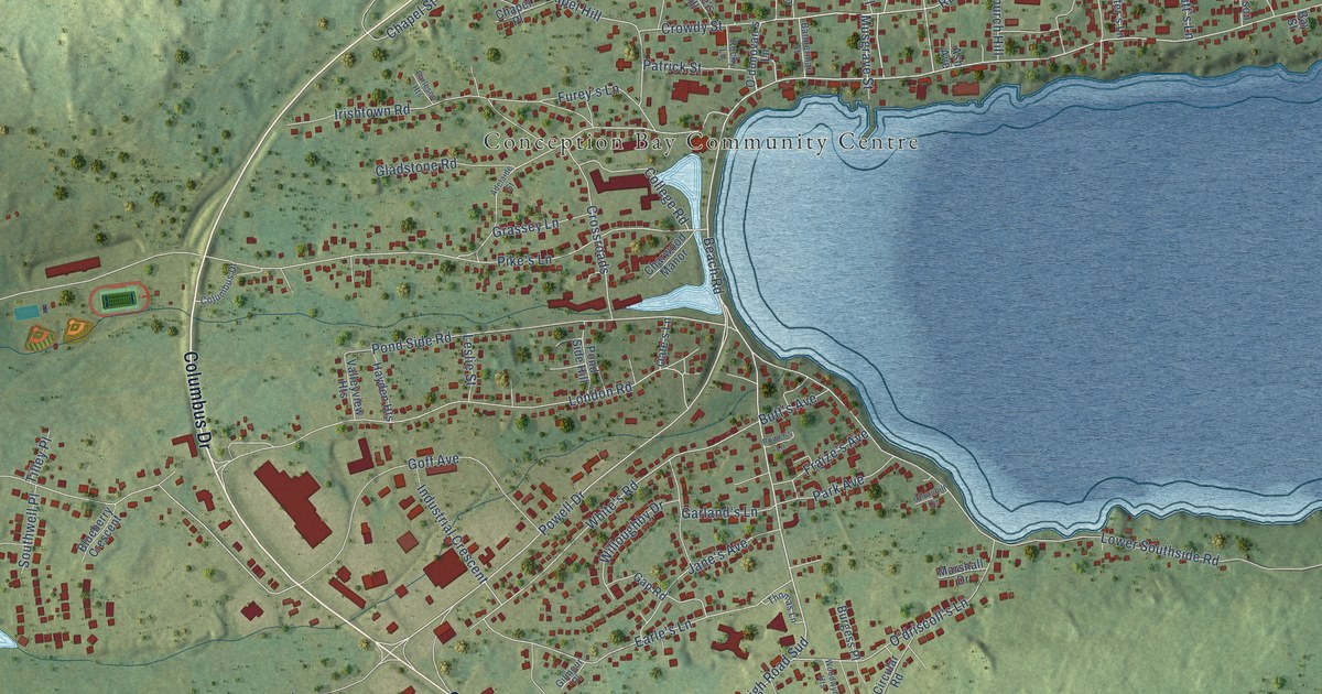
A detailed map of Carbonear, Newfoundland and Labrador, showing every building in its true location, the roads by name, and shaded topographical relief.
Read More