Detailed Map of Upper Amherst Cove, Newfoundland and Labrador
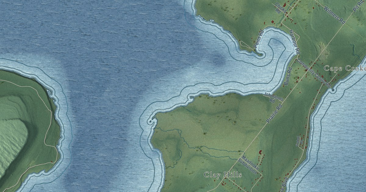
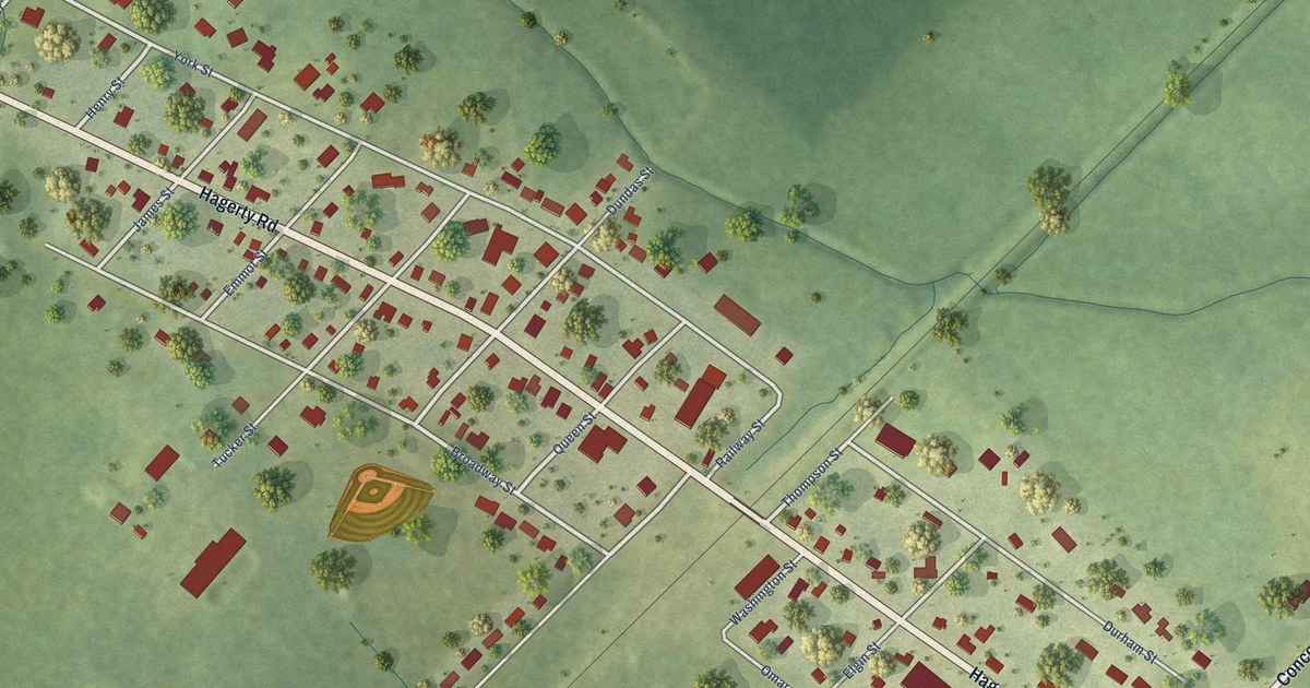
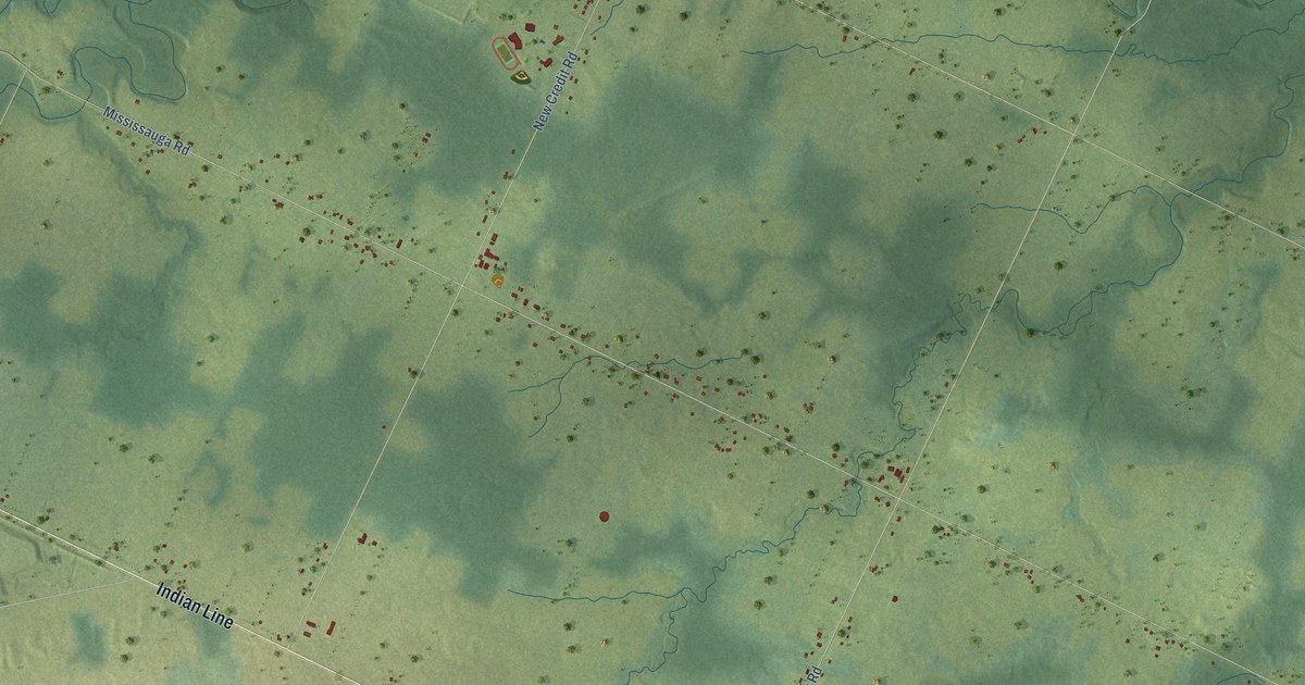
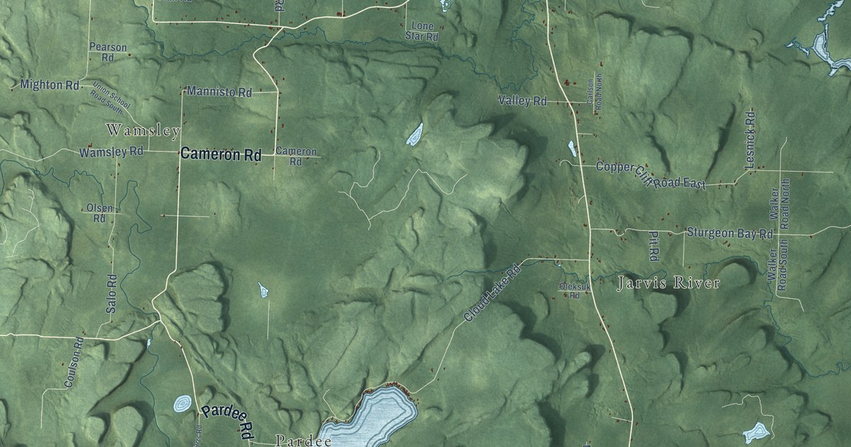
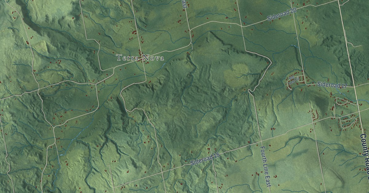
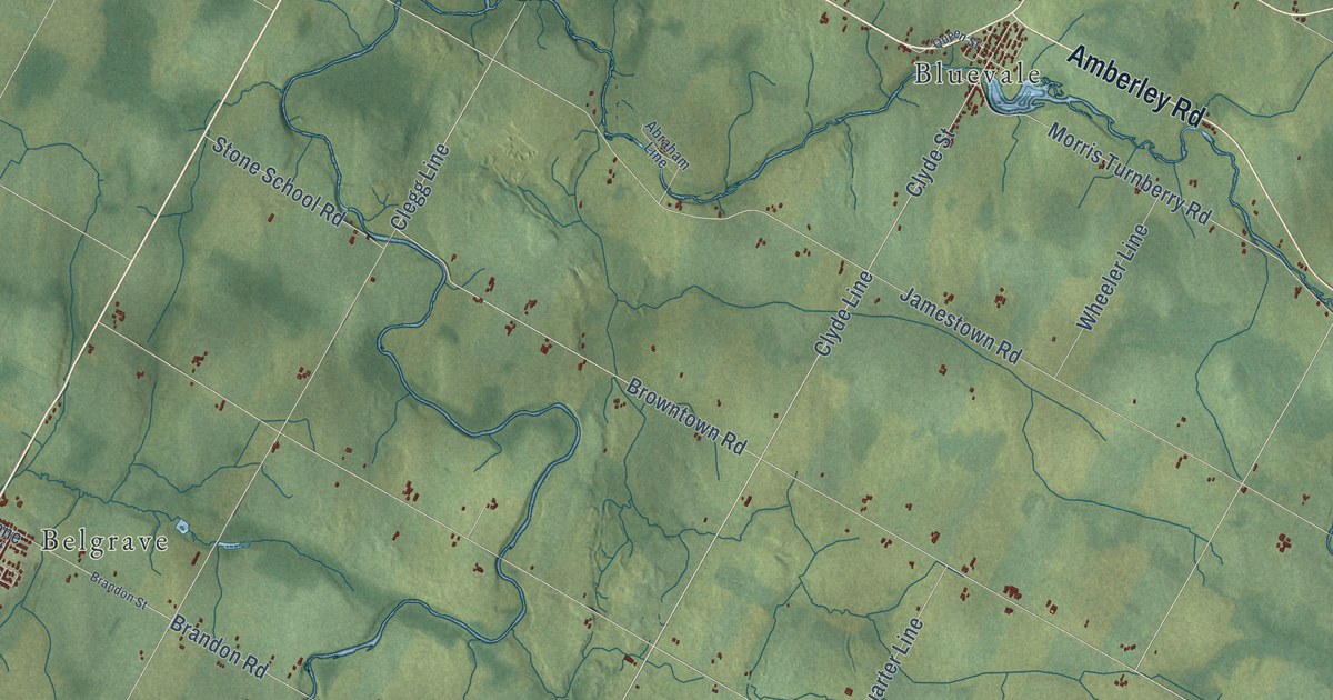
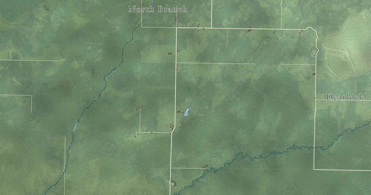
A detailed map of Upper Amherst Cove, Newfoundland and Labrador, showing every building in its true location, the roads by name, and shaded topographical relief.
Read More
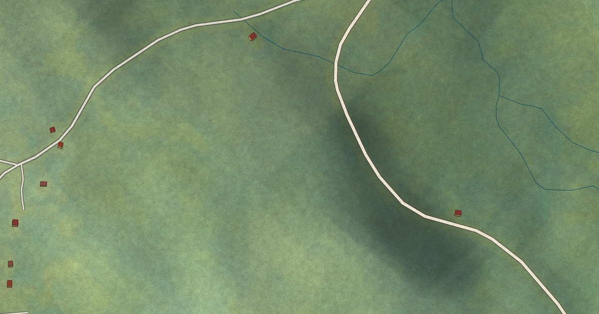
A detailed map of Upper Amherst Cove, Newfoundland and Labrador, showing every building in its true location, the roads by name, and shaded topographical relief.
Read More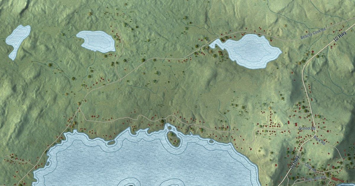
A detailed map of Tors Cove, Newfoundland and Labrador, showing every building in its true location, the roads by name, and shaded topographical relief.
Read More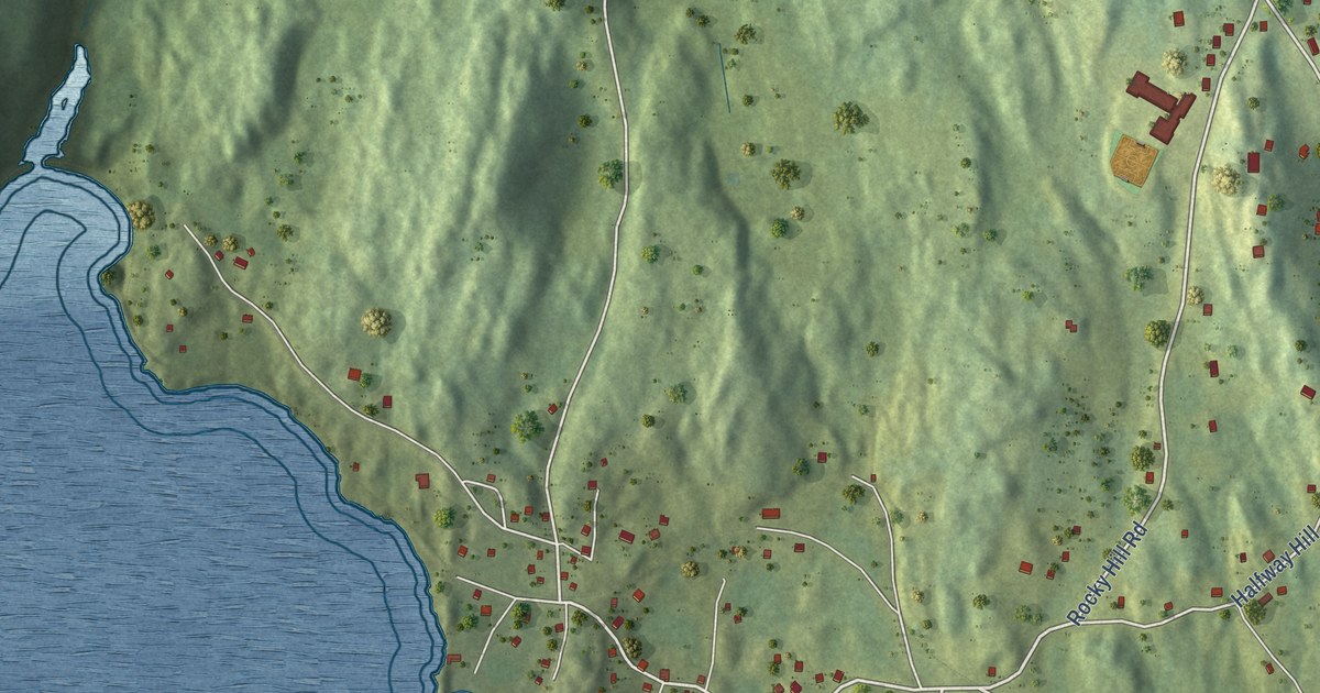
A detailed map of Trinity East, Newfoundland and Labrador, showing every building in its true location, the roads by name, and shaded topographical relief.
Read More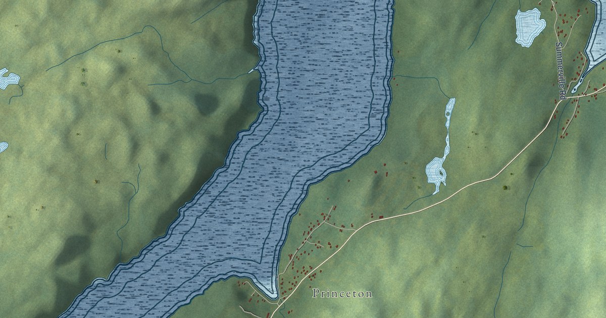
A detailed map of Summerville-Princeton-Southern Bay, Newfoundland and Labrador, showing every building in its true location, the roads by name, and shaded topographical relief.
Read More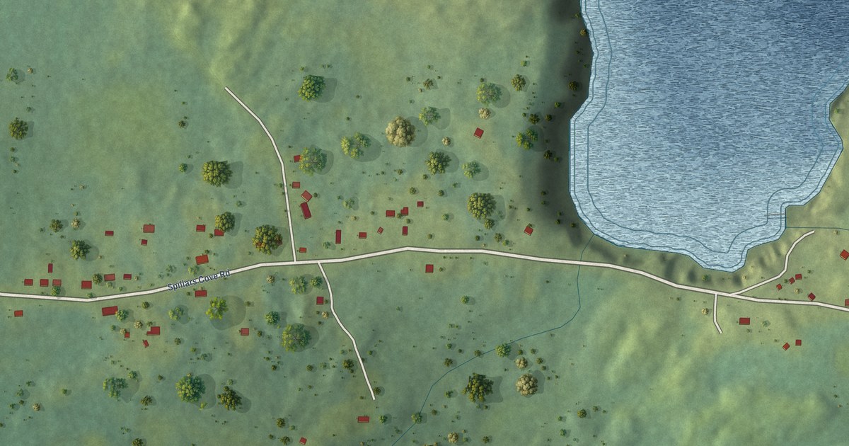
A detailed map of Spillars Cove, Newfoundland and Labrador, showing every building in its true location, the roads by name, and shaded topographical relief.
Read More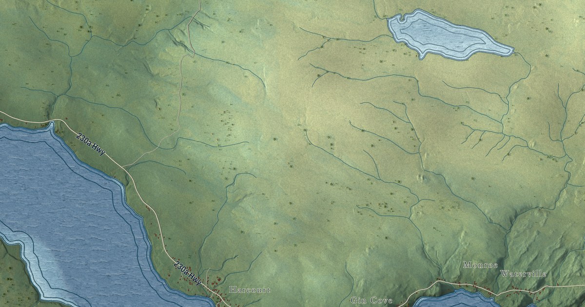
A detailed map of Smith Sound, Newfoundland and Labrador, showing every building in its true location, the roads by name, and shaded topographical relief.
Read More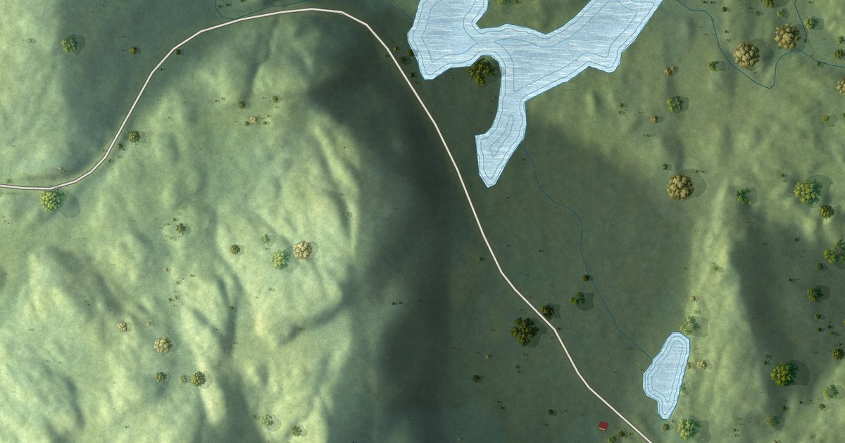
A detailed map of Rock Harbour, Newfoundland and Labrador, showing every building in its true location, the roads by name, and shaded topographical relief.
Read More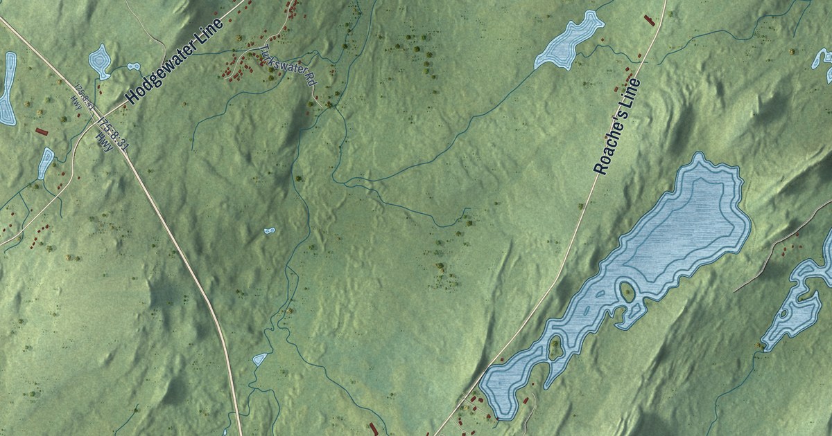
A detailed map of Roaches Line, Newfoundland and Labrador, showing every building in its true location, the roads by name, and shaded topographical relief.
Read More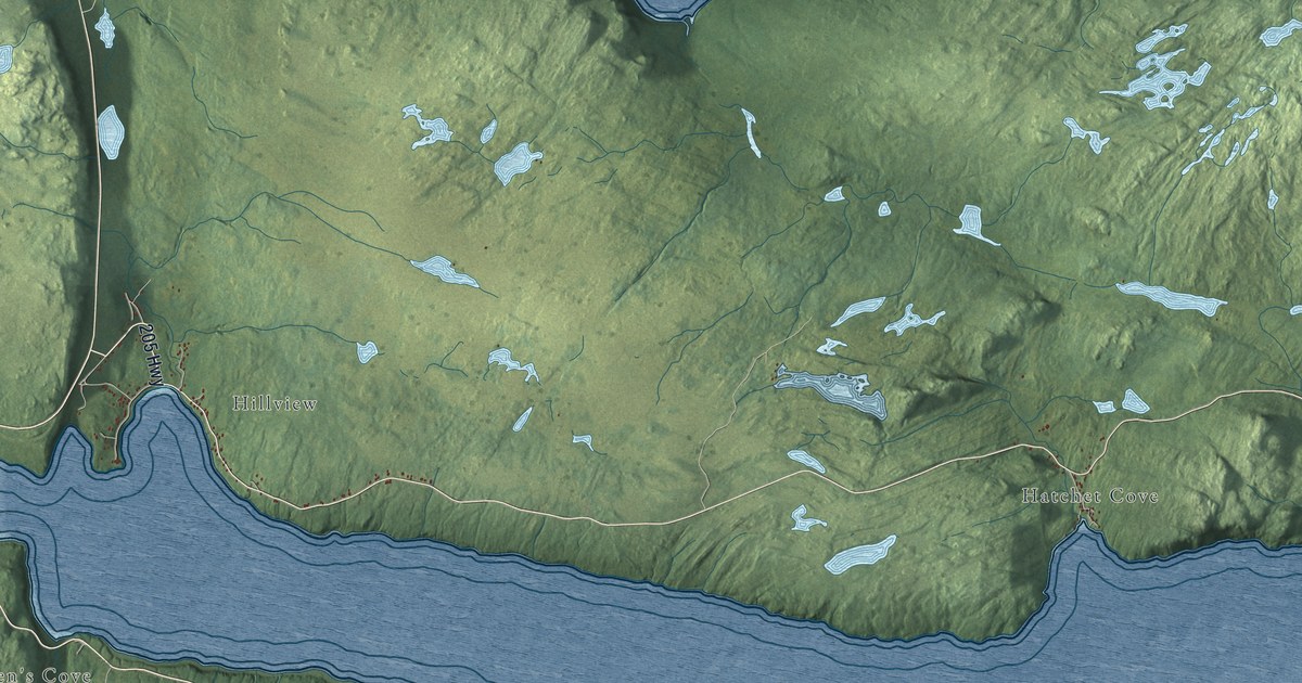
A detailed map of Random Sound West, Newfoundland and Labrador, showing every building in its true location, the roads by name, and shaded topographical relief.
Read More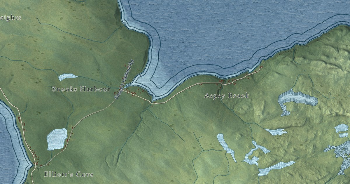
A detailed map of Random Island West, Newfoundland and Labrador, showing every building in its true location, the roads by name, and shaded topographical relief.
Read More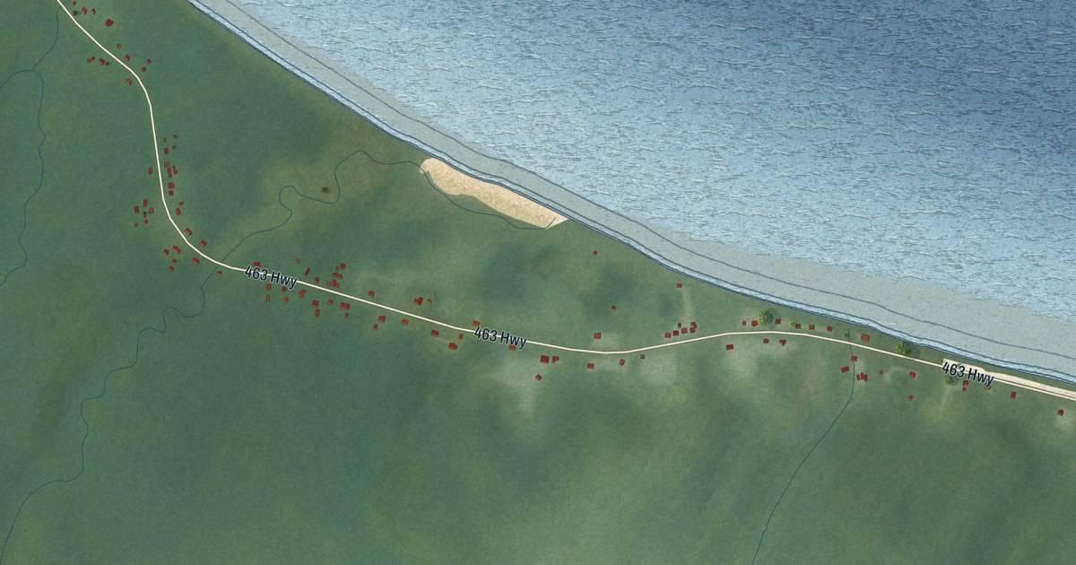
A detailed map of Piccadilly Head, Newfoundland and Labrador, showing every building in its true location, the roads by name, and shaded topographical relief.
Read More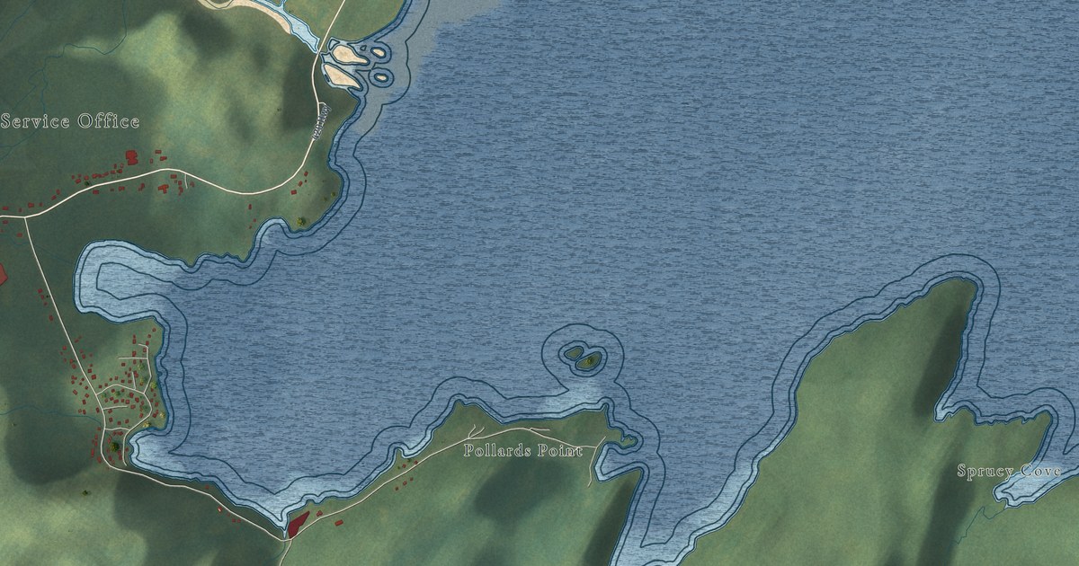
A detailed map of Pollard’s Point, Newfoundland and Labrador, showing every building in its true location, the roads by name, and shaded topographical relief.
Read More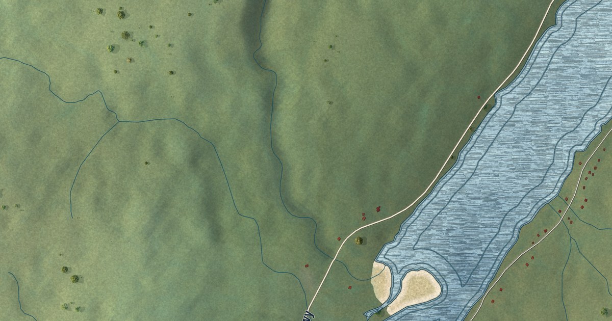
A detailed map of North Harbour, St. Mary’s Bay, Newfoundland and Labrador, showing every building in its true location, the roads by name, and shaded topographical relief.
Read More
A detailed map of Open Hall-Red Cliffe, Newfoundland and Labrador, showing every building in its true location, the roads by name, and shaded topographical relief.
Read More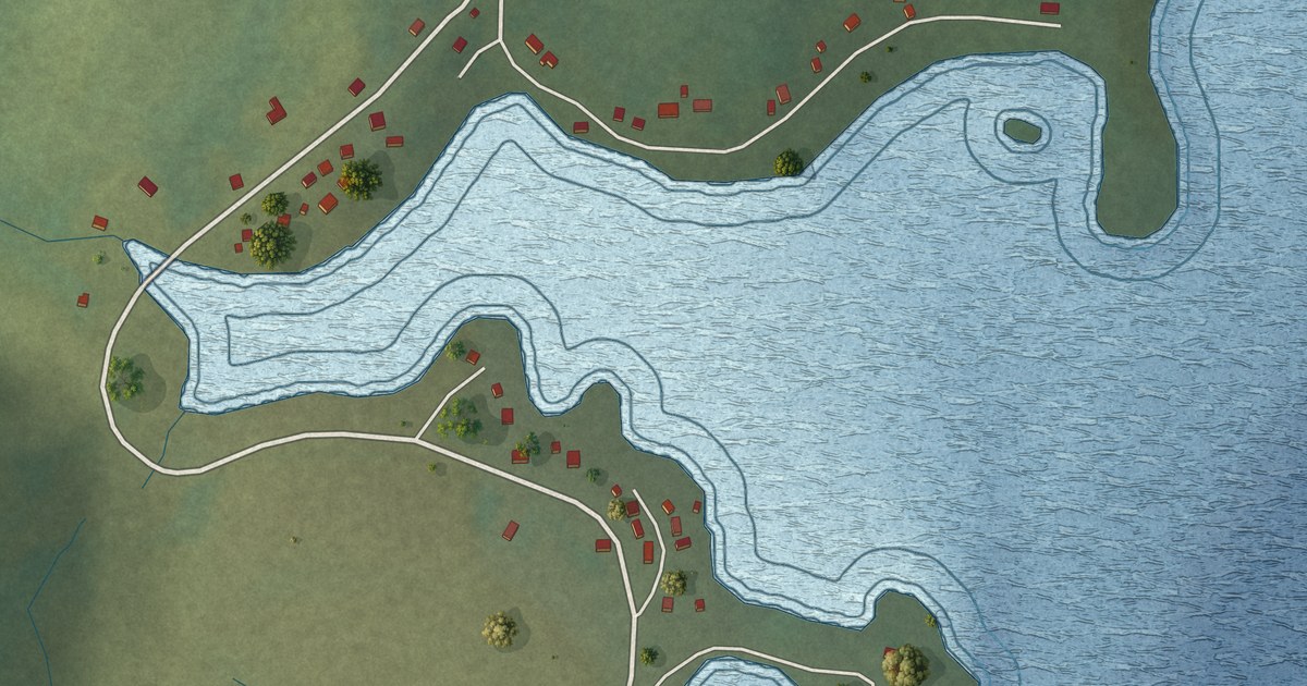
A detailed map of North Harbour, Placentia Bay, Newfoundland and Labrador, showing every building in its true location, the roads by name, and shaded topographical relief.
Read More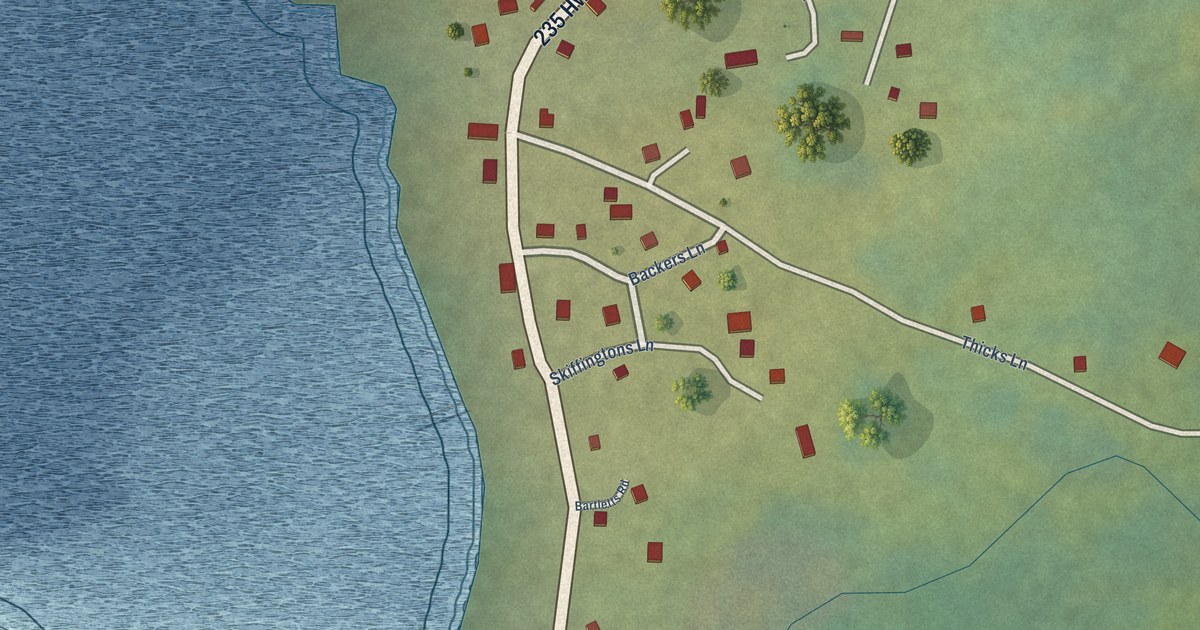
A detailed map of Newmans Cove, Newfoundland and Labrador, showing every building in its true location, the roads by name, and shaded topographical relief.
Read More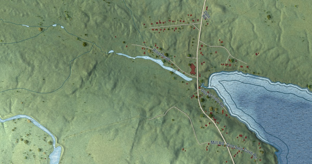
A detailed map of Mobile, Newfoundland and Labrador, showing every building in its true location, the roads by name, and shaded topographical relief.
Read More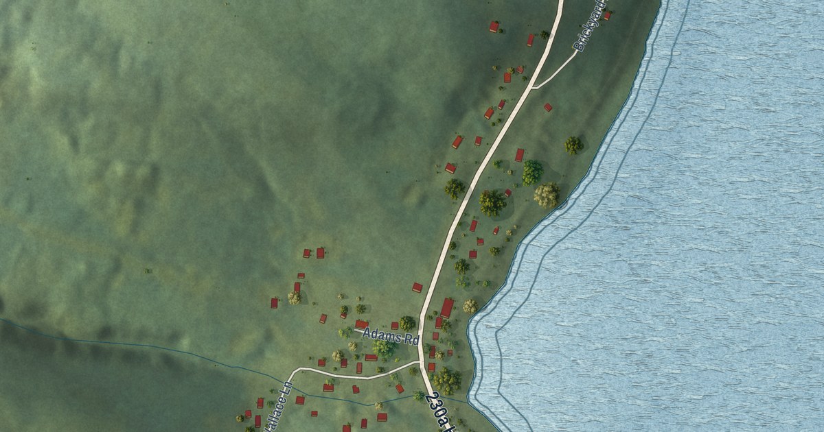
A detailed map of Milton, Newfoundland and Labrador, showing every building in its true location, the roads by name, and shaded topographical relief.
Read More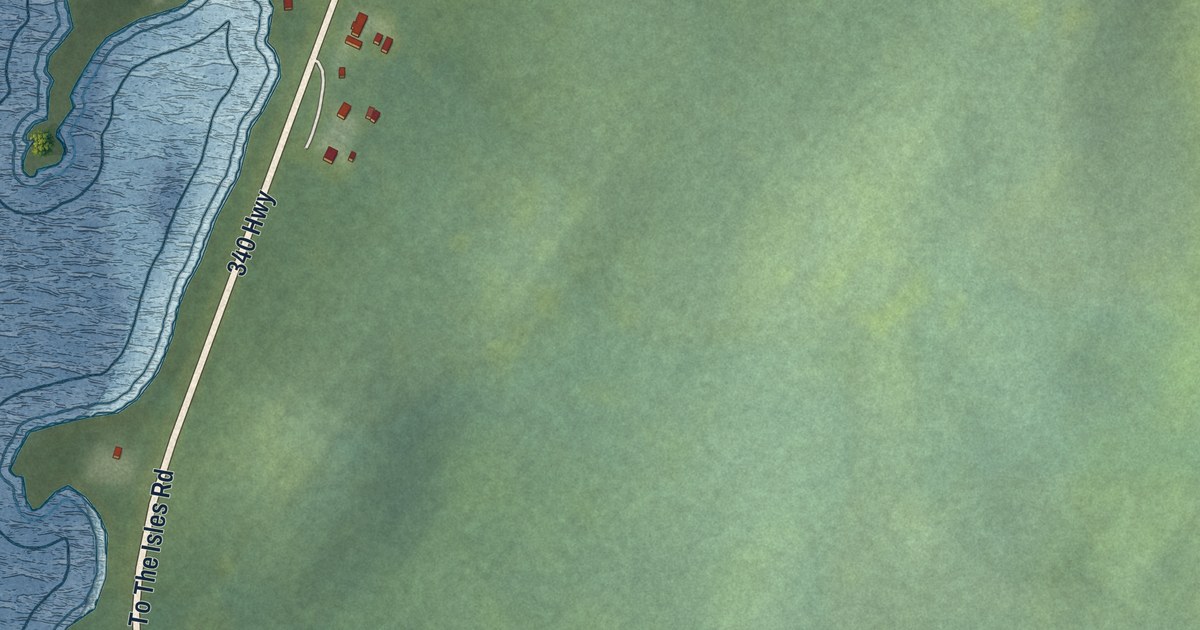
A detailed map of Michael’s Harbour, Newfoundland and Labrador, showing every building in its true location, the roads by name, and shaded topographical relief.
Read More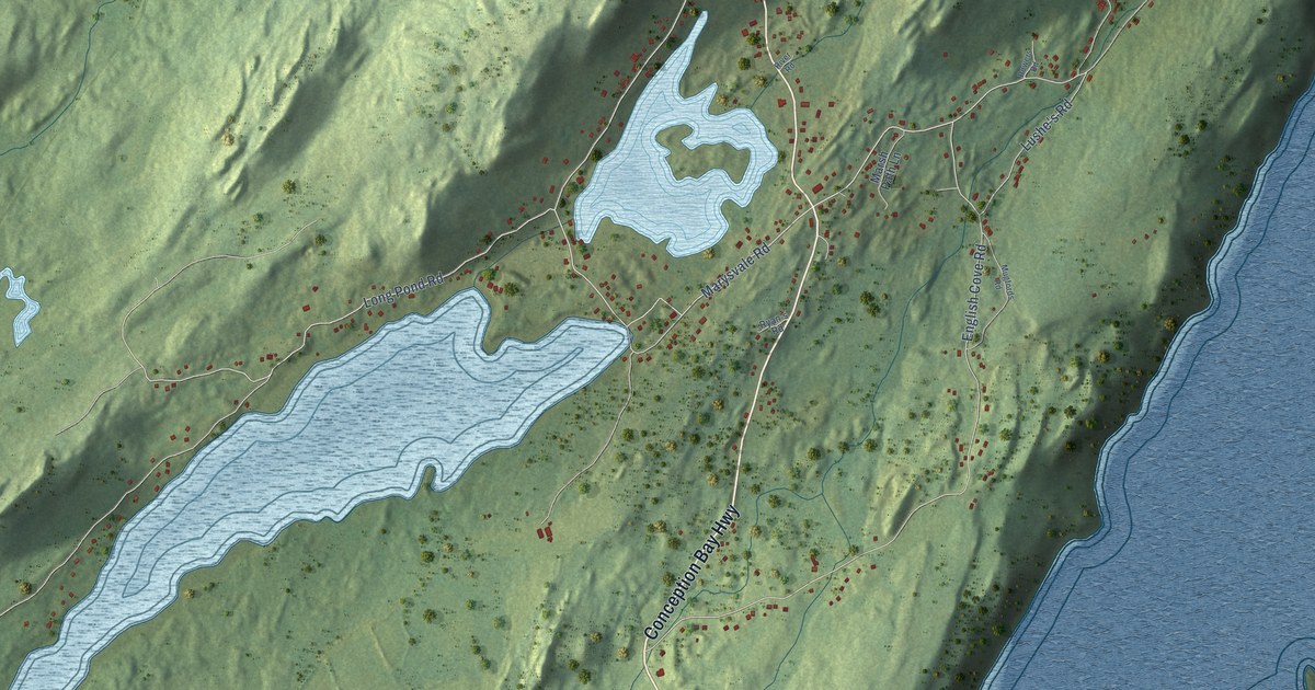
A detailed map of Marysvale, Newfoundland and Labrador, showing every building in its true location, the roads by name, and shaded topographical relief.
Read More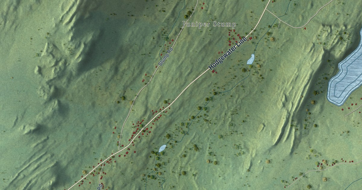
A detailed map of Makinsons, Newfoundland and Labrador, showing every building in its true location, the roads by name, and shaded topographical relief.
Read More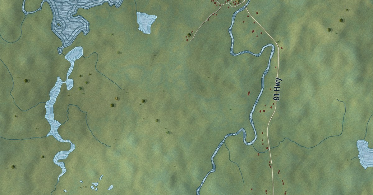
A detailed map of Markland, Newfoundland and Labrador, showing every building in its true location, the roads by name, and shaded topographical relief.
Read More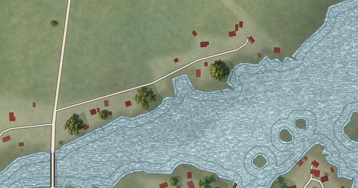
A detailed map of Lodge Bay, Newfoundland and Labrador, showing every building in its true location, the roads by name, and shaded topographical relief.
Read More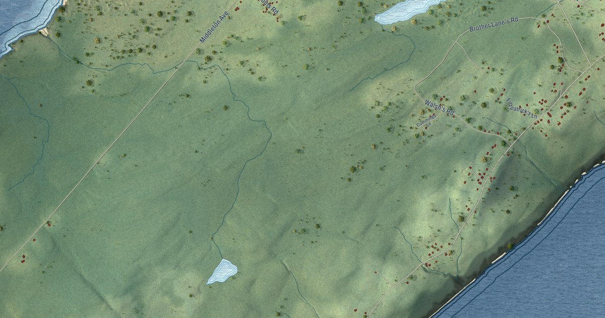
A detailed map of Lance Cove, Newfoundland and Labrador, showing every building in its true location, the roads by name, and shaded topographical relief.
Read More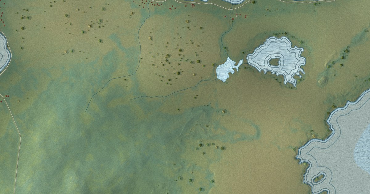
A detailed map of Ladle Cove, Newfoundland and Labrador, showing every building in its true location, the roads by name, and shaded topographical relief.
Read More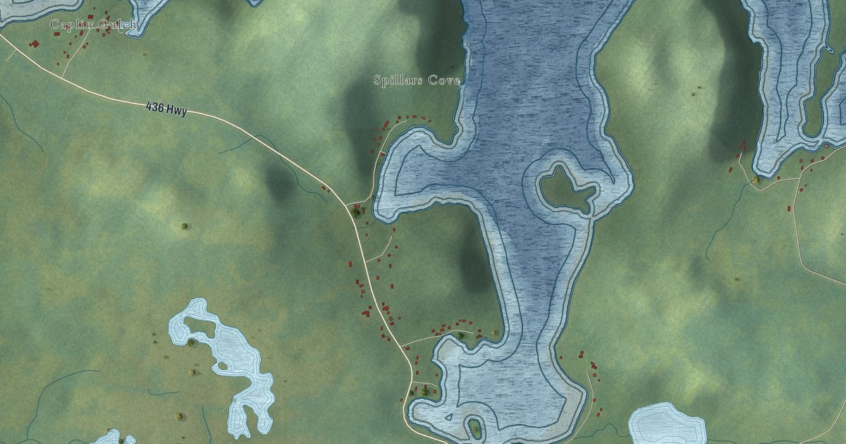
A detailed map of L’Anse aux Meadows to Quirpon, Newfoundland and Labrador, showing every building in its true location, the roads by name, and shaded topographical relief.
Read More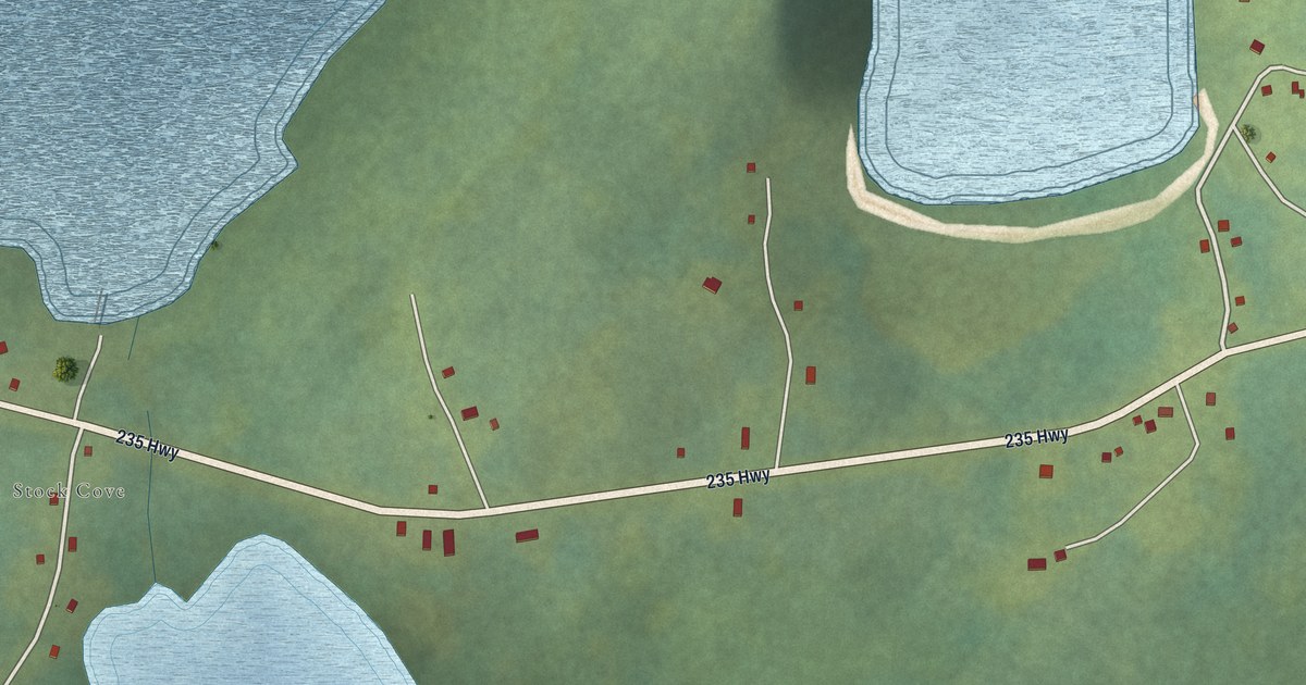
A detailed map of Knights Cove – Stock Cove, Newfoundland and Labrador, showing every building in its true location, the roads by name, and shaded topographical relief.
Read More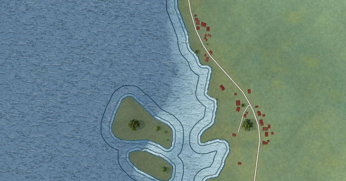
A detailed map of Island Harbour, Newfoundland and Labrador, showing every building in its true location, the roads by name, and shaded topographical relief.
Read More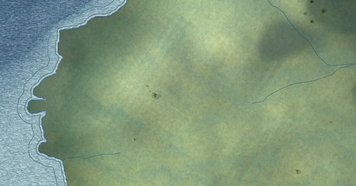
A detailed map of Harbour Round, Newfoundland and Labrador, showing every building in its true location, the roads by name, and shaded topographical relief.
Read More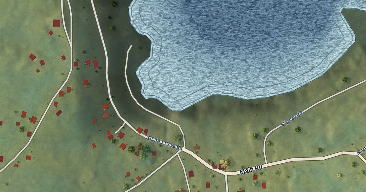
A detailed map of Grates Cove, Newfoundland and Labrador, showing every building in its true location, the roads by name, and shaded topographical relief.
Read More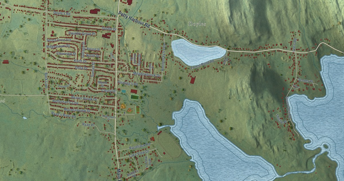
A detailed map of Goulds, Newfoundland and Labrador, showing every building in its true location, the roads by name, and shaded topographical relief.
Read More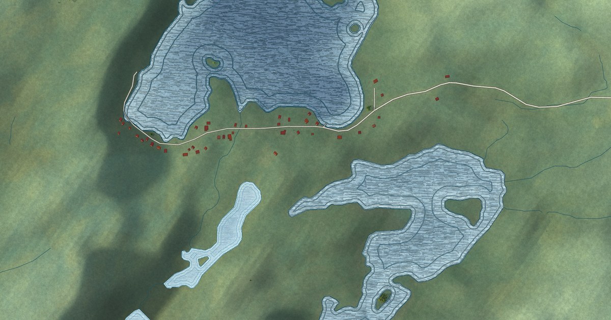
A detailed map of Glover’s Harbour, Newfoundland and Labrador, showing every building in its true location, the roads by name, and shaded topographical relief.
Read More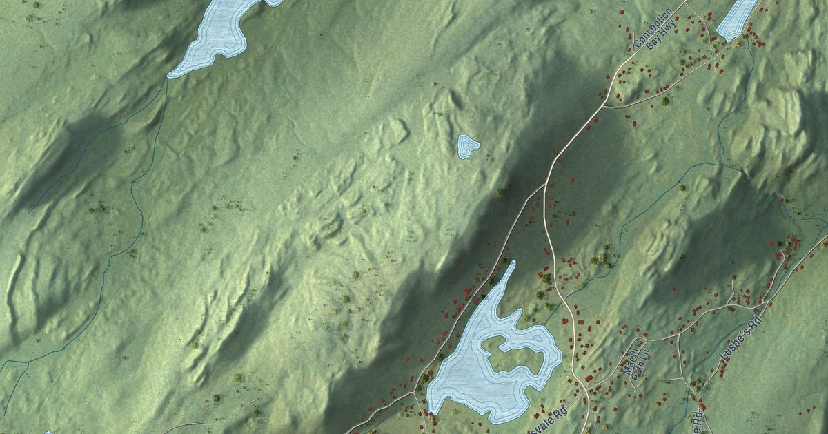
A detailed map of Georgetown, Newfoundland and Labrador, showing every building in its true location, the roads by name, and shaded topographical relief.
Read More
A detailed map of Dunfield, Newfoundland and Labrador, showing every building in its true location, the roads by name, and shaded topographical relief.
Read More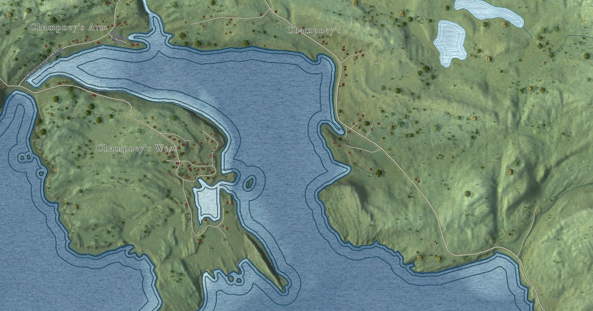
A detailed map of Champneys-English Harbour, Newfoundland and Labrador, showing every building in its true location, the roads by name, and shaded topographical relief.
Read More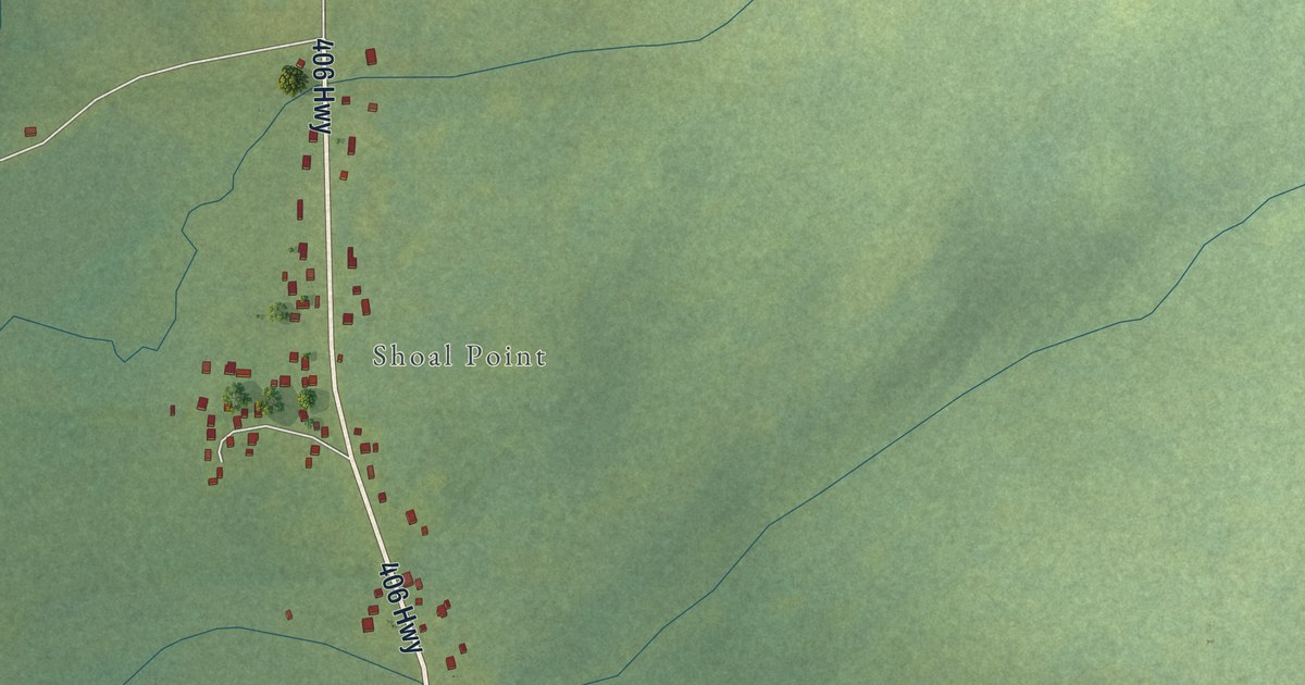
A detailed map of Codroy, Newfoundland and Labrador, showing every building in its true location, the roads by name, and shaded topographical relief.
Read More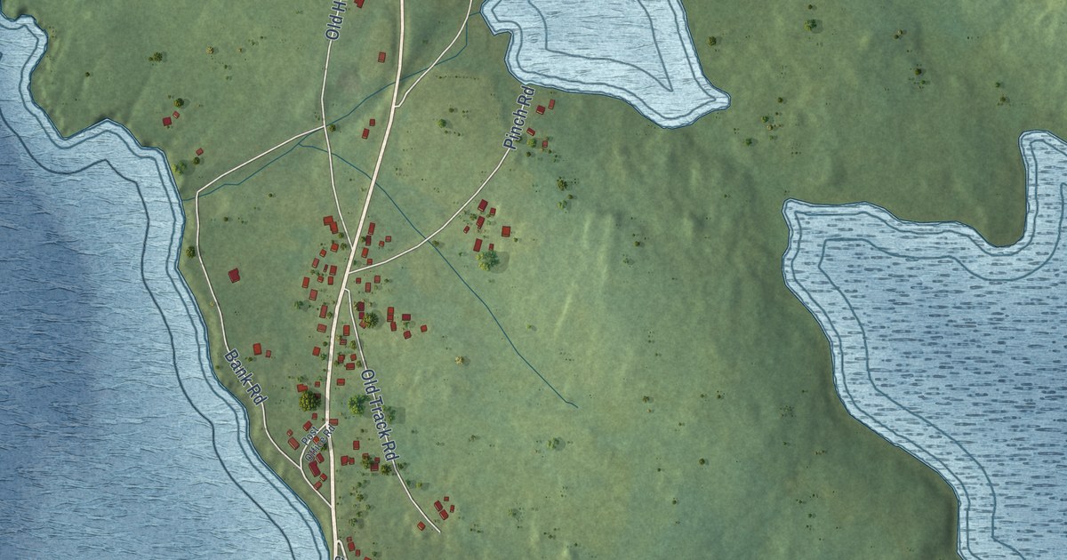
A detailed map of Cavendish, Newfoundland and Labrador, showing every building in its true location, the roads by name, and shaded topographical relief.
Read More
A detailed map of Castor River South, Newfoundland and Labrador, showing every building in its true location, the roads by name, and shaded topographical relief.
Read More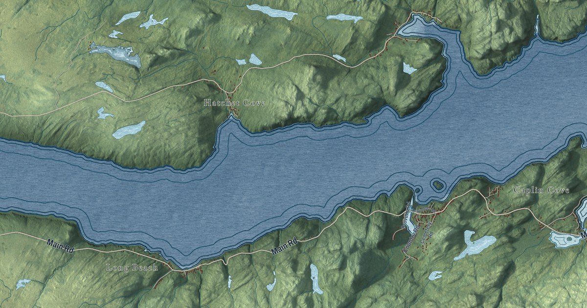
A detailed map of Caplin Cove-Southport, Newfoundland and Labrador, showing every building in its true location, the roads by name, and shaded topographical relief.
Read More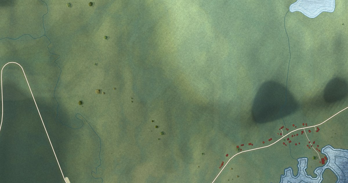
A detailed map of Capstan Island, Newfoundland and Labrador, showing every building in its true location, the roads by name, and shaded topographical relief.
Read More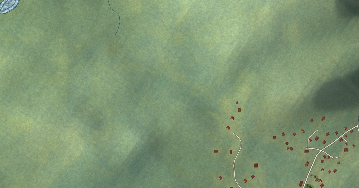
A detailed map of Cannings Cove, Newfoundland and Labrador, showing every building in its true location, the roads by name, and shaded topographical relief.
Read More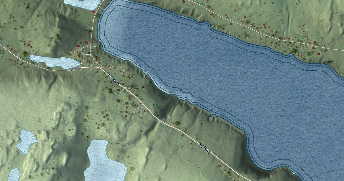
A detailed map of Calvert, Newfoundland and Labrador, showing every building in its true location, the roads by name, and shaded topographical relief.
Read More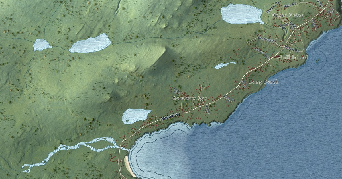
A detailed map of Burnt Point-Gull Island-Northern Bay, Newfoundland and Labrador, showing every building in its true location, the roads by name, and shaded topographical relief.
Read More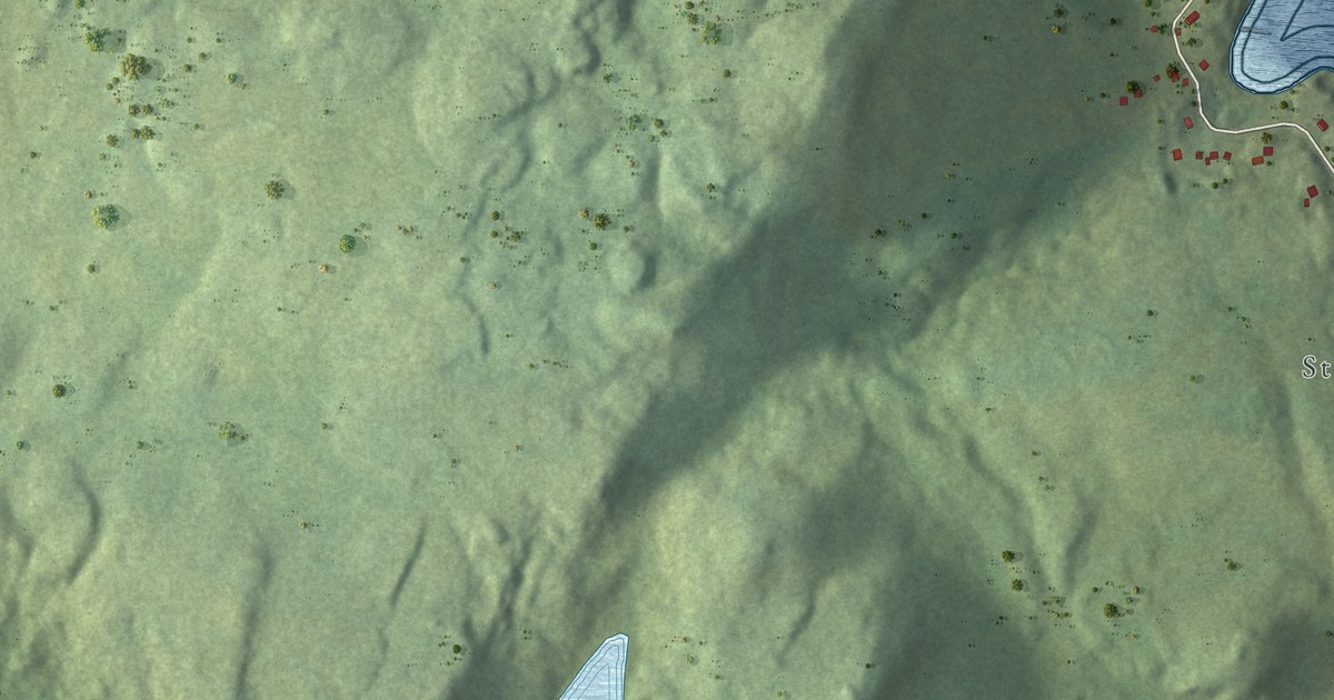
A detailed map of Burnt Cove – St. Michaels – Bauline South, Newfoundland and Labrador, showing every building in its true location, the roads by name, and shaded topographical relief.
Read More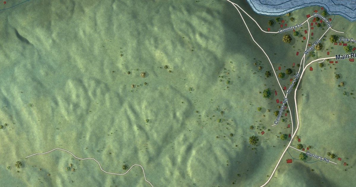
A detailed map of Britannia, Newfoundland and Labrador, showing every building in its true location, the roads by name, and shaded topographical relief.
Read More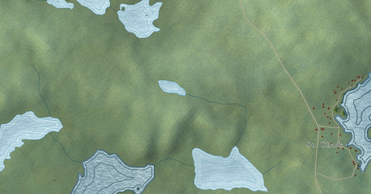
A detailed map of Burnside-St. Chads, Newfoundland and Labrador, showing every building in its true location, the roads by name, and shaded topographical relief.
Read More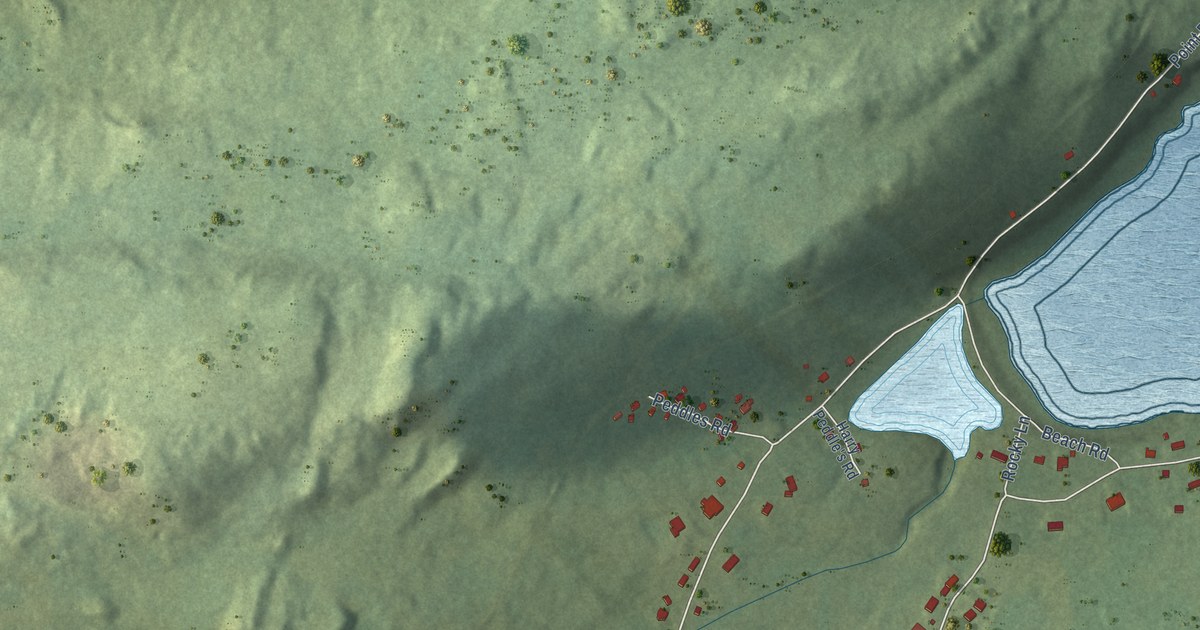
A detailed map of Bristol’s Hope, Newfoundland and Labrador, showing every building in its true location, the roads by name, and shaded topographical relief.
Read More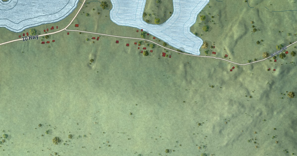
A detailed map of Brigus South, Newfoundland and Labrador, showing every building in its true location, the roads by name, and shaded topographical relief.
Read More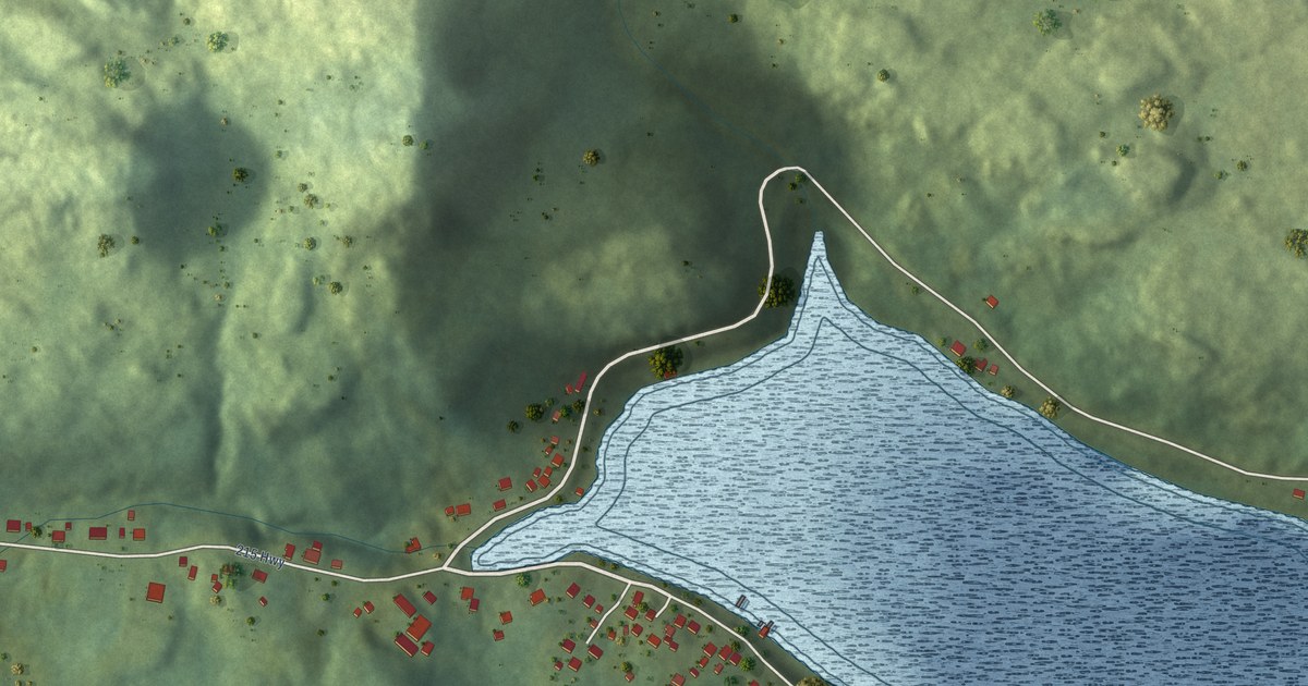
A detailed map of Boat Harbour West, Newfoundland and Labrador, showing every building in its true location, the roads by name, and shaded topographical relief.
Read More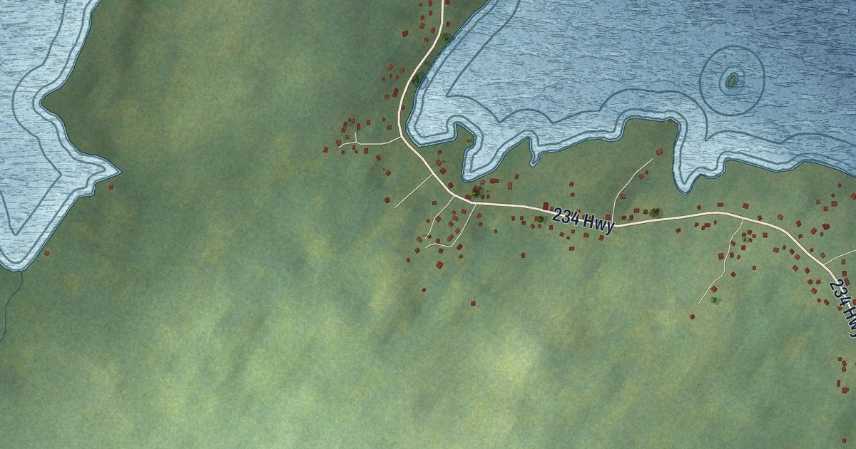
A detailed map of Bloomfield, Newfoundland and Labrador, showing every building in its true location, the roads by name, and shaded topographical relief.
Read More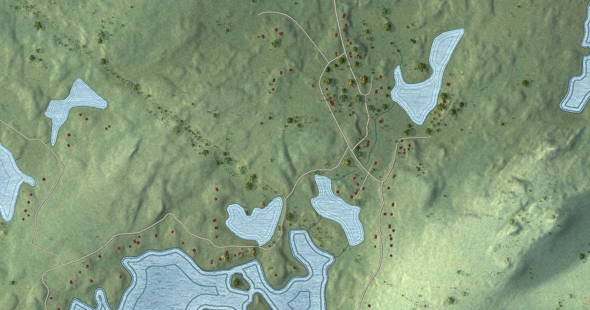
A detailed map of Brigus Junction, Newfoundland and Labrador, showing every building in its true location, the roads by name, and shaded topographical relief.
Read More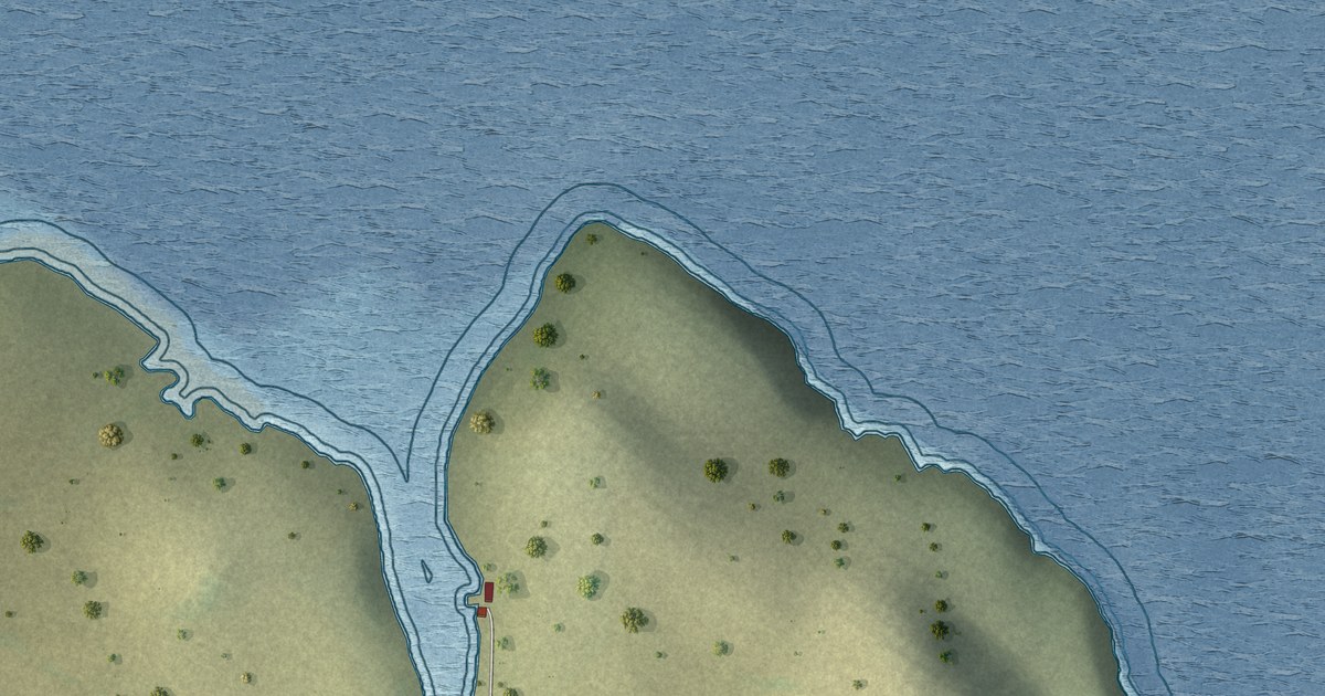
A detailed map of Black Tickle-Domino, Newfoundland and Labrador, showing every building in its true location, the roads by name, and shaded topographical relief.
Read More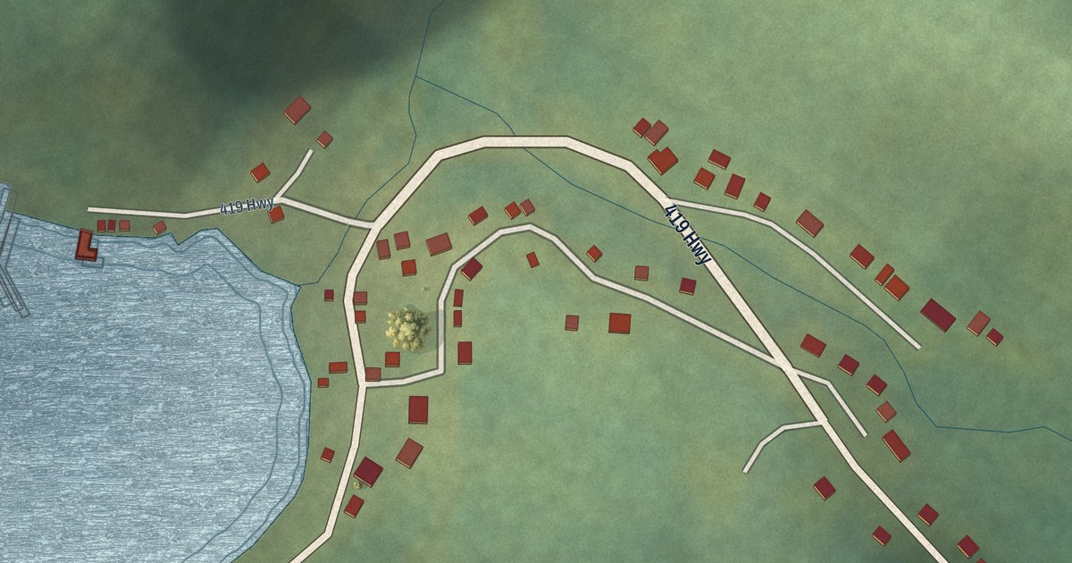
A detailed map of Wild Cove, Newfoundland and Labrador, showing every building in its true location, the roads by name, and shaded topographical relief.
Read More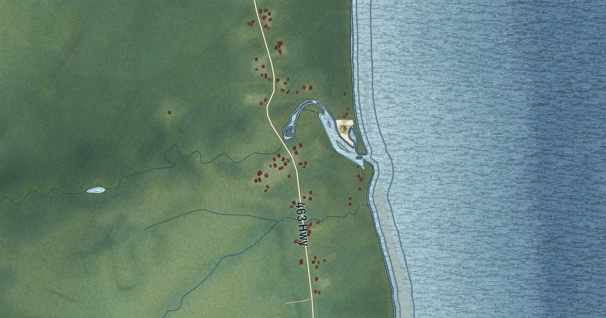
A detailed map of West Bay, Newfoundland and Labrador, showing every building in its true location, the roads by name, and shaded topographical relief.
Read More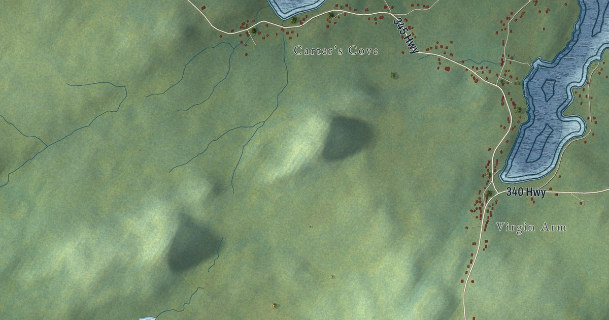
A detailed map of Virgin Arm-Carter’s Cove, Newfoundland and Labrador, showing every building in its true location, the roads by name, and shaded topographical relief.
Read More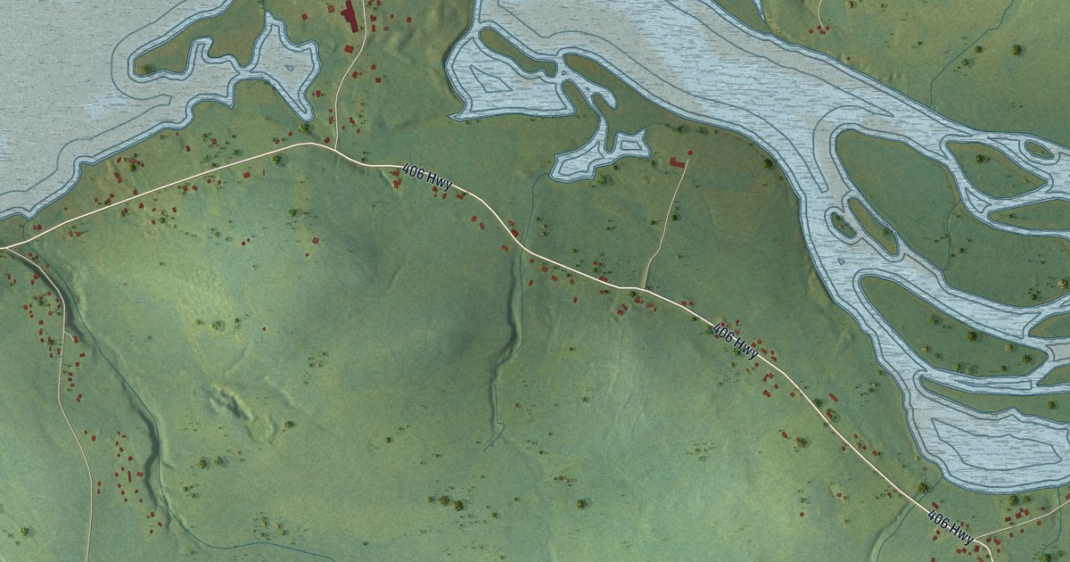
A detailed map of Upper Ferry, Newfoundland and Labrador, showing every building in its true location, the roads by name, and shaded topographical relief.
Read More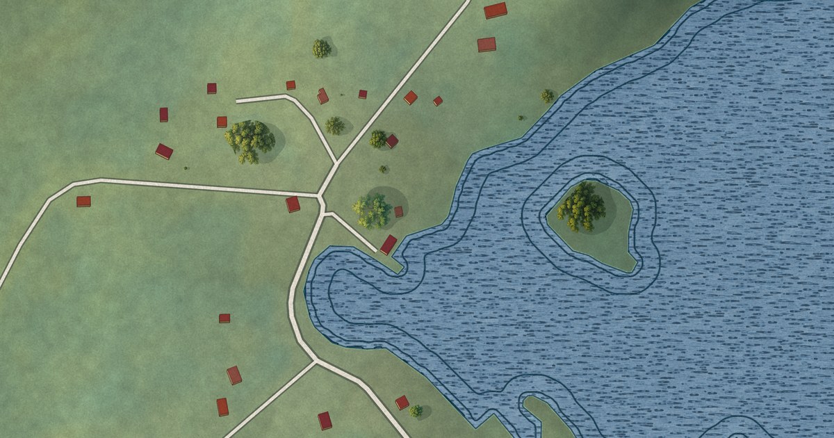
A detailed map of Tizzard’s Harbour, Newfoundland and Labrador, showing every building in its true location, the roads by name, and shaded topographical relief.
Read More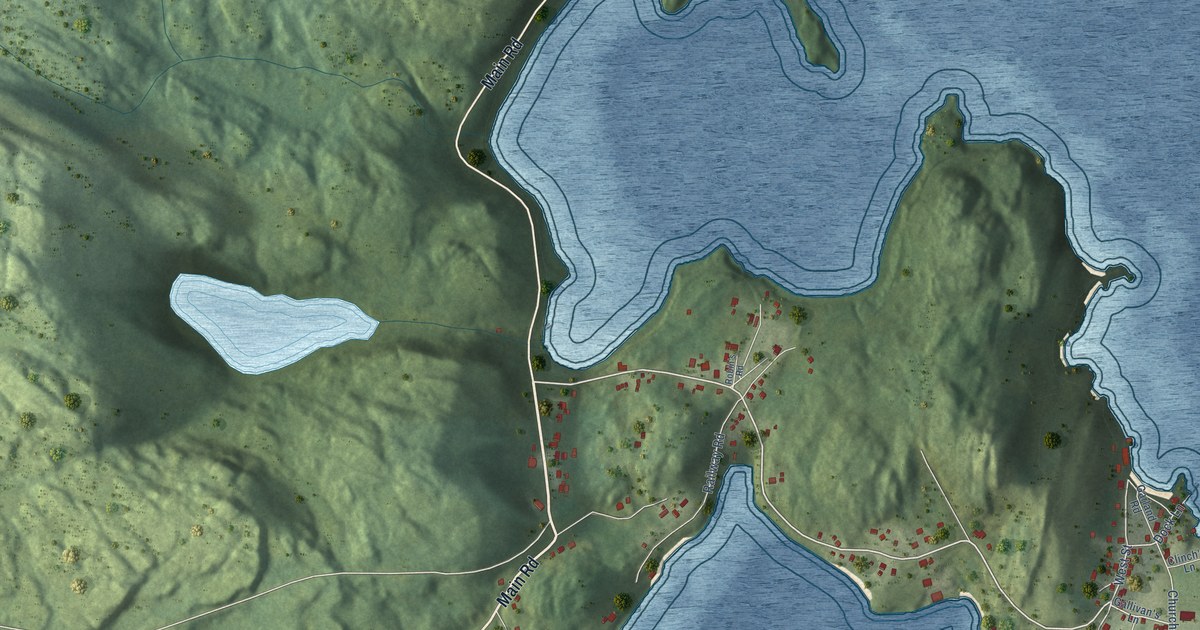
A detailed map of Trinity, Newfoundland and Labrador, showing every building in its true location, the roads by name, and shaded topographical relief.
Read More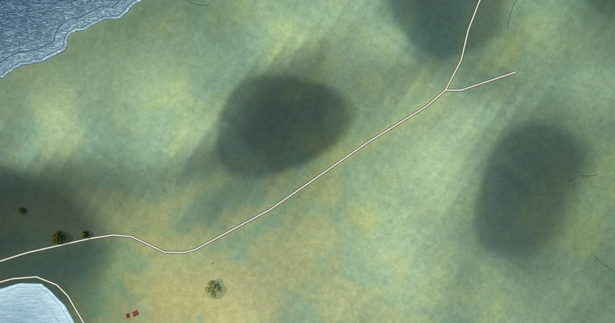
A detailed map of Tilt Cove, Newfoundland and Labrador, showing every building in its true location, the roads by name, and shaded topographical relief.
Read More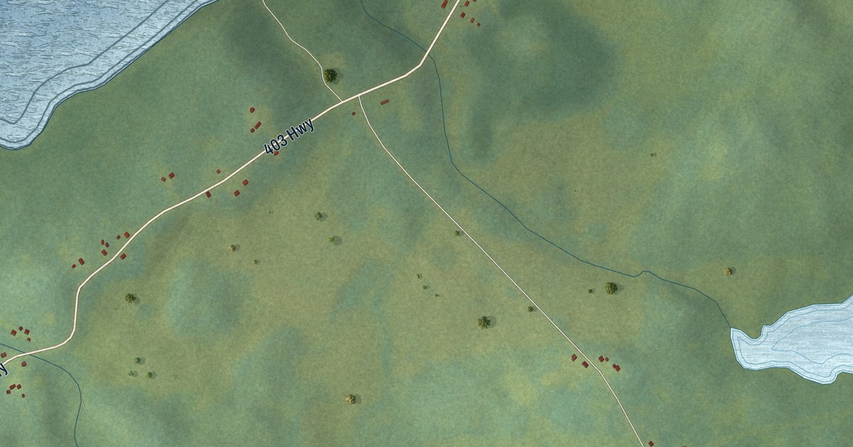
A detailed map of St. Teresa, Newfoundland and Labrador, showing every building in its true location, the roads by name, and shaded topographical relief.
Read More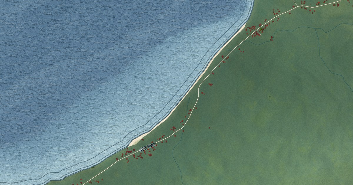
A detailed map of Three Rock Cove, Newfoundland and Labrador, showing every building in its true location, the roads by name, and shaded topographical relief.
Read More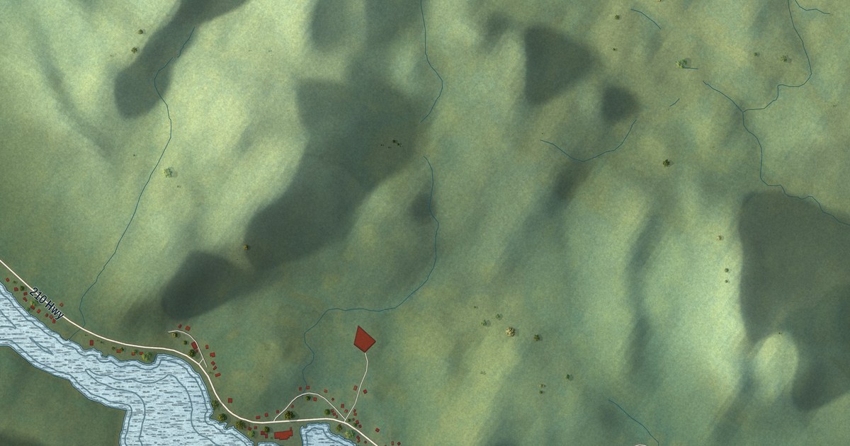
A detailed map of Swift Current, Newfoundland and Labrador, showing every building in its true location, the roads by name, and shaded topographical relief.
Read More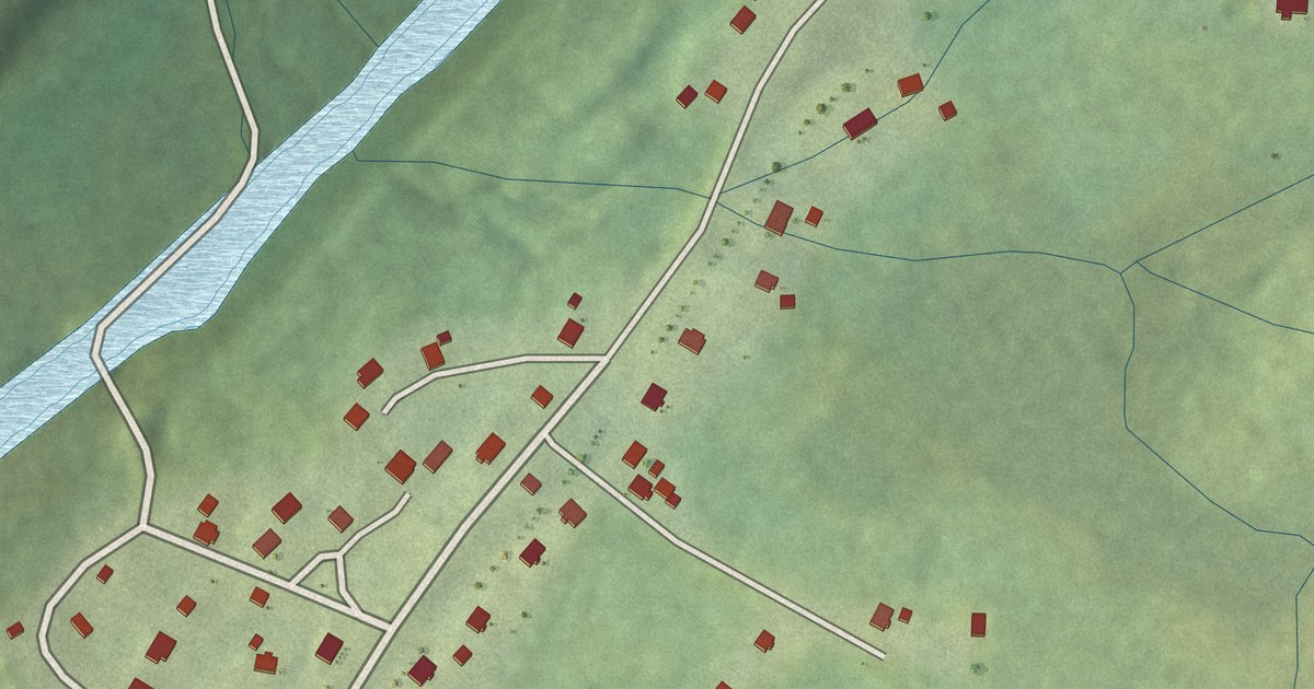
A detailed map of St. Shott’s, Newfoundland and Labrador, showing every building in its true location, the roads by name, and shaded topographical relief.
Read More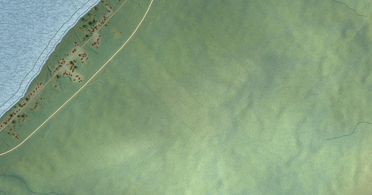
A detailed map of St. Judes, Newfoundland and Labrador, showing every building in its true location, the roads by name, and shaded topographical relief.
Read More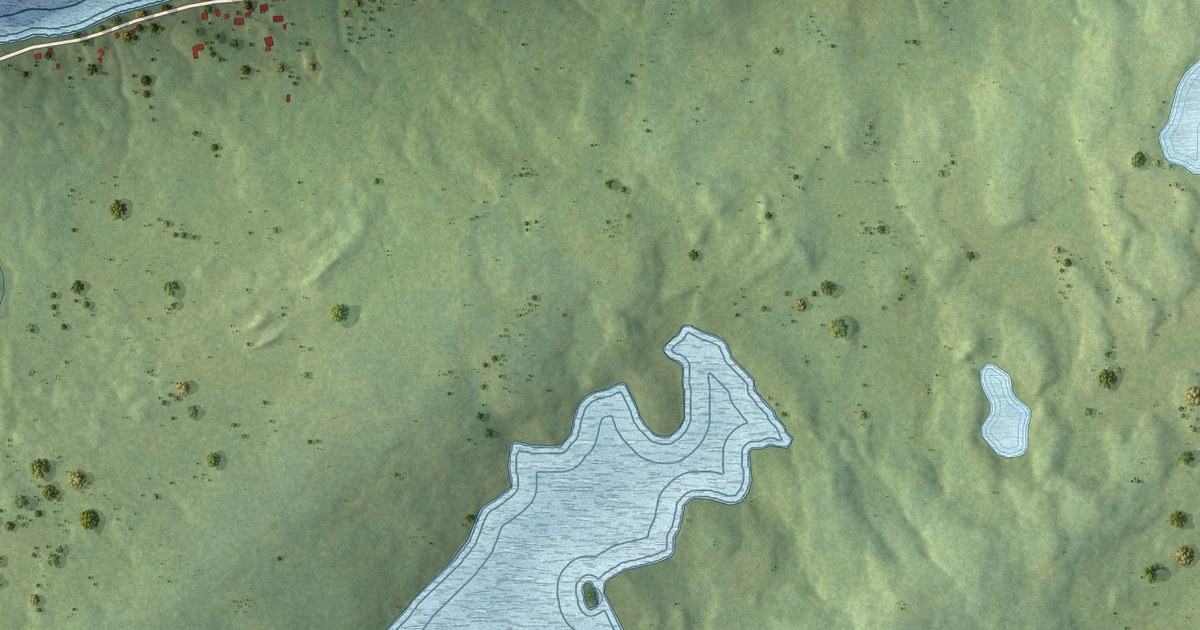
A detailed map of St. Joseph’s, Newfoundland and Labrador, showing every building in its true location, the roads by name, and shaded topographical relief.
Read More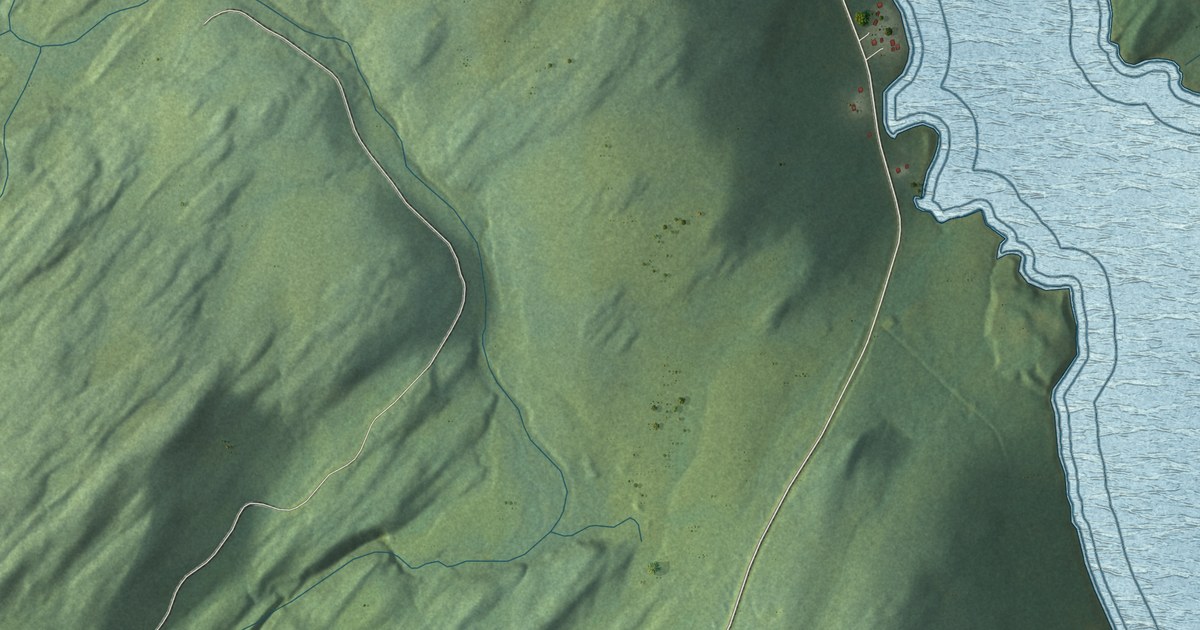
A detailed map of St. Joseph’s Cove-St. Veronica’s, Newfoundland and Labrador, showing every building in its true location, the roads by name, and shaded topographical relief.
Read More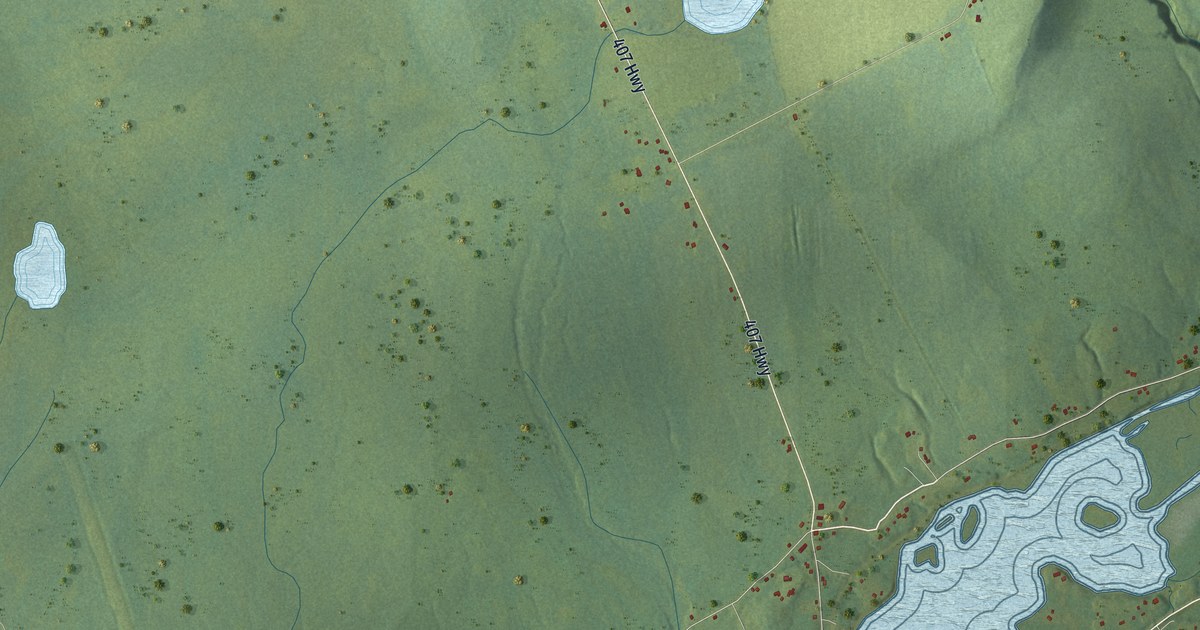
A detailed map of St. Andrew’s, Newfoundland and Labrador, showing every building in its true location, the roads by name, and shaded topographical relief.
Read More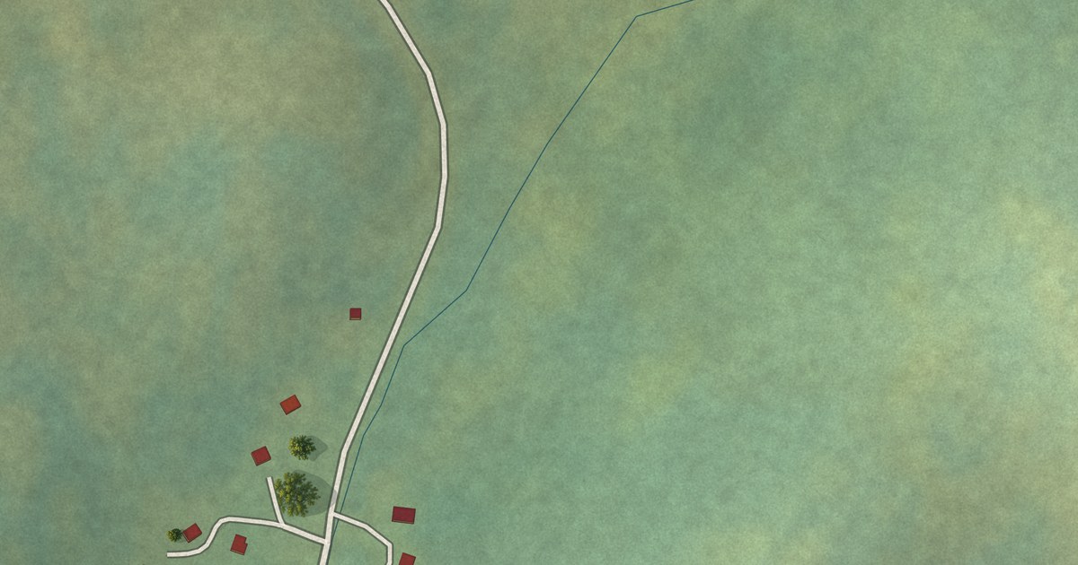
A detailed map of St. Anthony Bight, Newfoundland and Labrador, showing every building in its true location, the roads by name, and shaded topographical relief.
Read More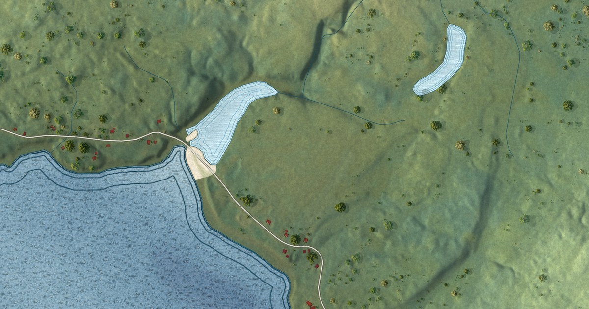
A detailed map of Spanish Room, Newfoundland and Labrador, showing every building in its true location, the roads by name, and shaded topographical relief.
Read More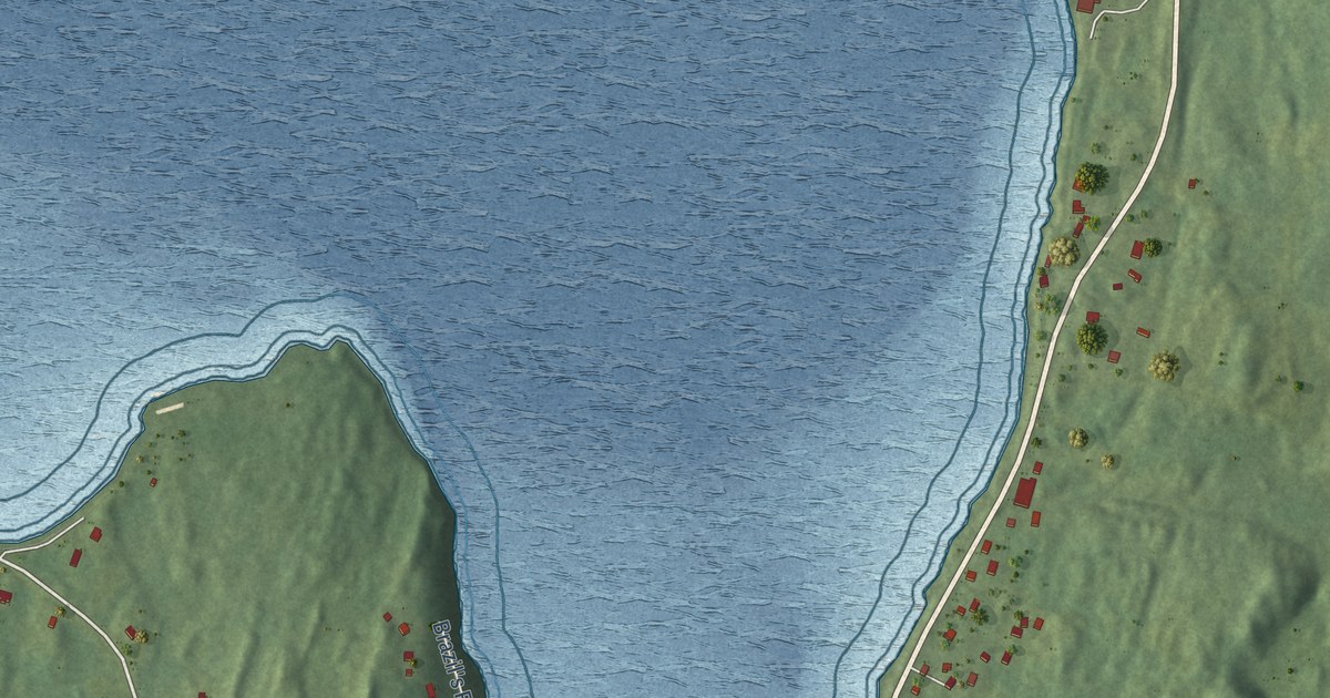
A detailed map of South Dildo, Newfoundland and Labrador, showing every building in its true location, the roads by name, and shaded topographical relief.
Read More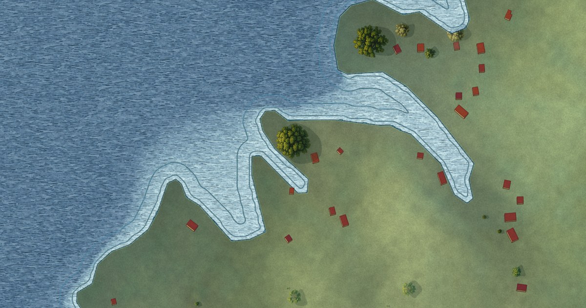
A detailed map of Southeast Bight, Newfoundland and Labrador, showing every building in its true location, the roads by name, and shaded topographical relief.
Read More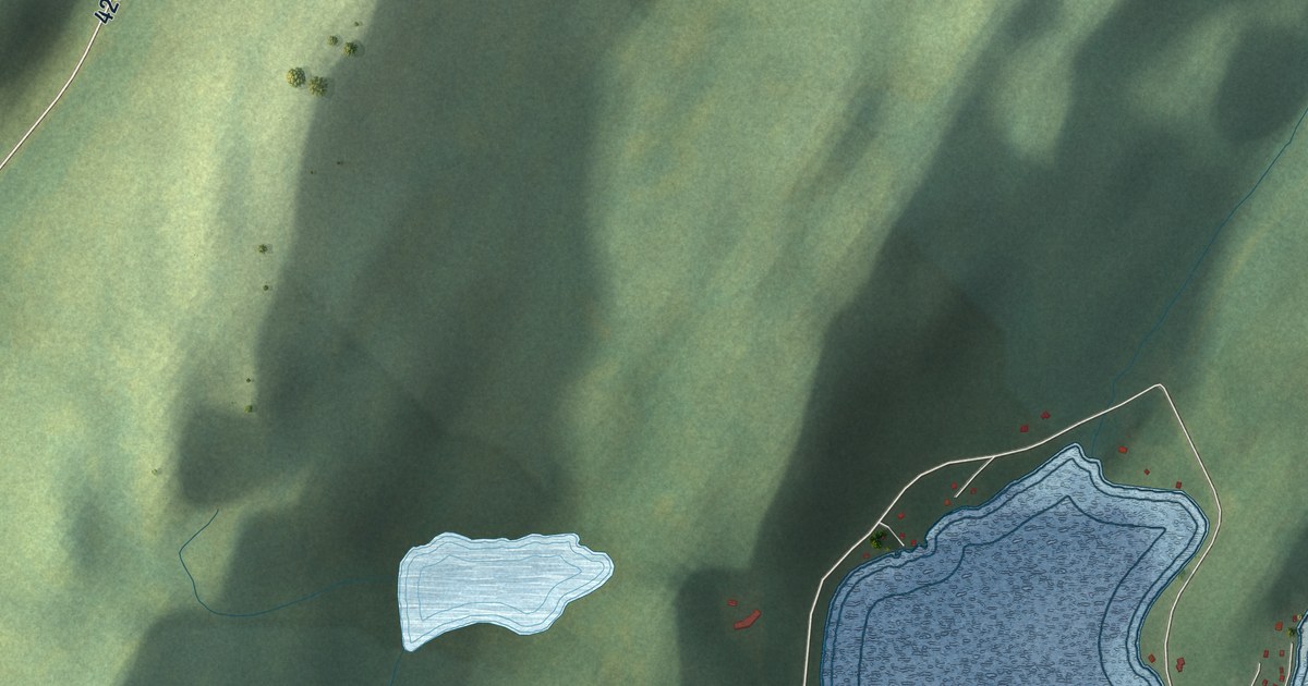
A detailed map of Sop’s Arm, Newfoundland and Labrador, showing every building in its true location, the roads by name, and shaded topographical relief.
Read More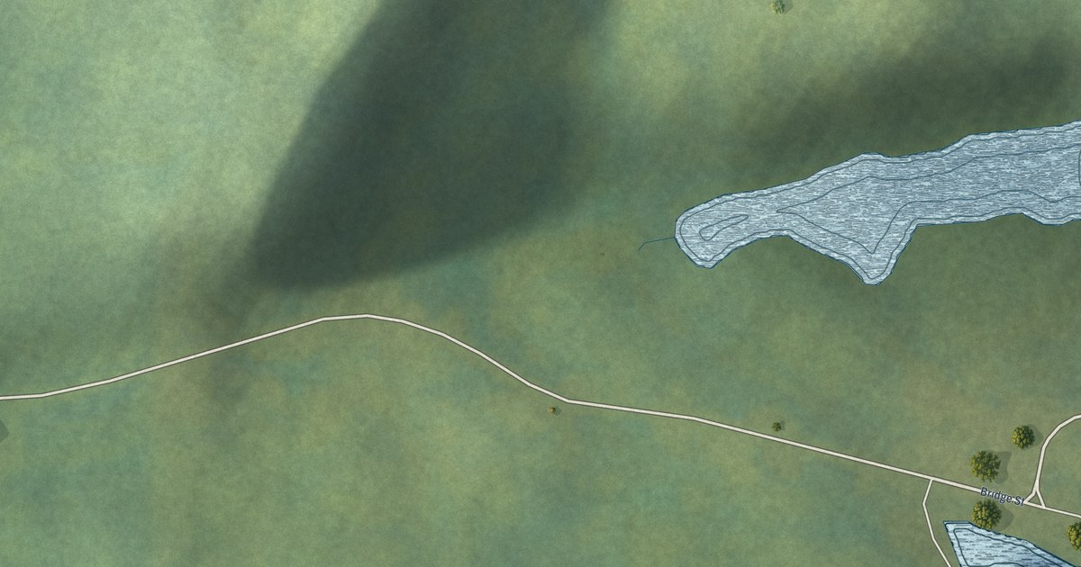
A detailed map of Smith’s Harbour, Newfoundland and Labrador, showing every building in its true location, the roads by name, and shaded topographical relief.
Read More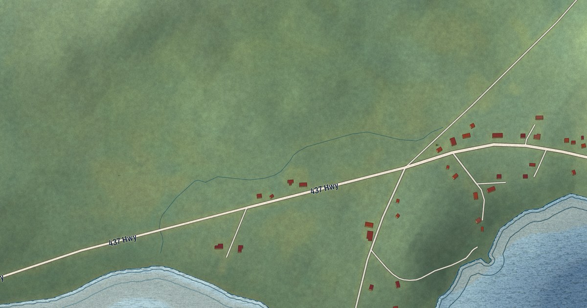
A detailed map of Ship Cove, Northern Peninsula, Newfoundland and Labrador, showing every building in its true location, the roads by name, and shaded topographical relief.
Read More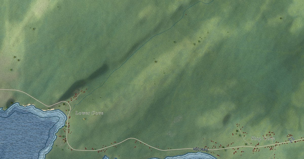
A detailed map of Ship Cove-Lower Cove-Jerry’s Nose, Newfoundland and Labrador, showing every building in its true location, the roads by name, and shaded topographical relief.
Read More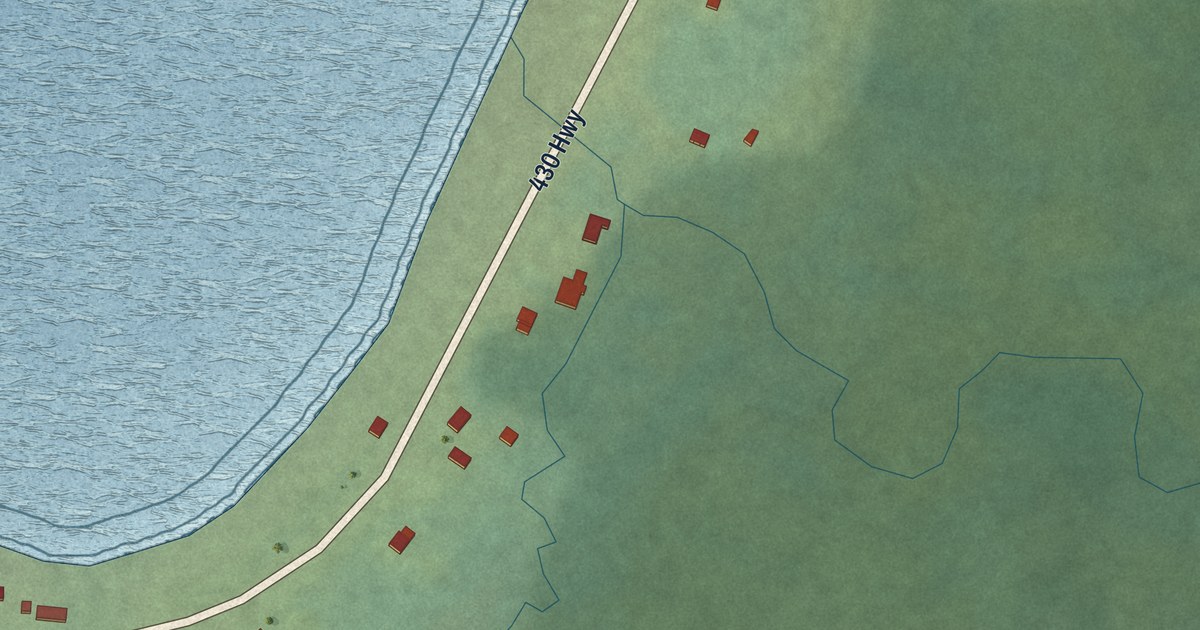
A detailed map of Sally’s Cove, Newfoundland and Labrador, showing every building in its true location, the roads by name, and shaded topographical relief.
Read More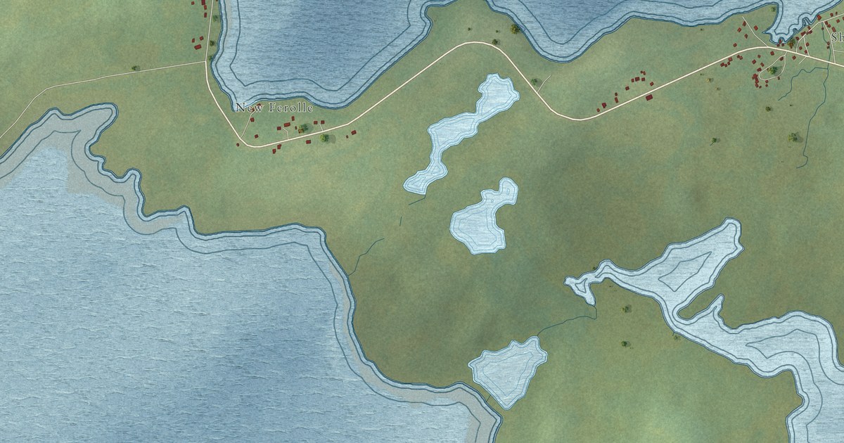
A detailed map of Reef’s Harbour – Shoal Cove West – New Ferolle, Newfoundland and Labrador, showing every building in its true location, the roads by name, and shaded topographical relief.
Read More
A detailed map of Rattling Brook, Newfoundland and Labrador, showing every building in its true location, the roads by name, and shaded topographical relief.
Read More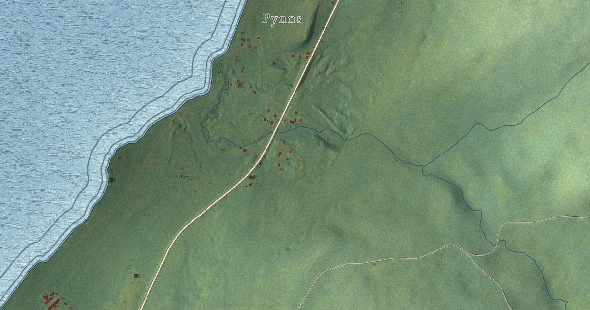
A detailed map of Pynns Brook, Newfoundland and Labrador, showing every building in its true location, the roads by name, and shaded topographical relief.
Read More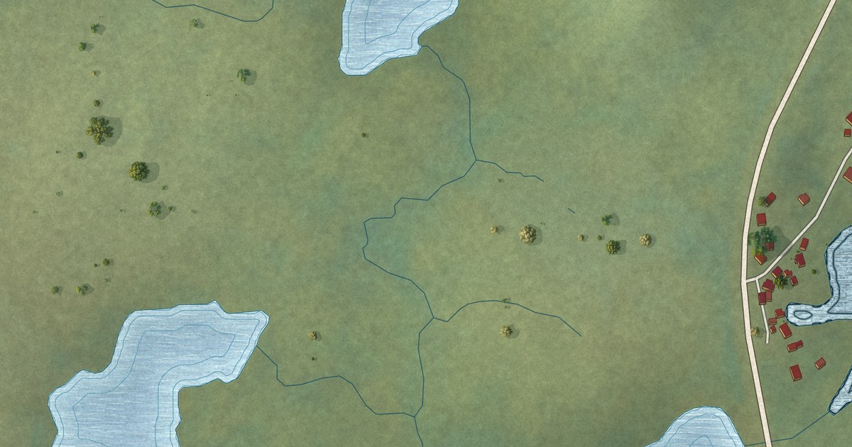
A detailed map of Purcell’s Harbour, Newfoundland and Labrador, showing every building in its true location, the roads by name, and shaded topographical relief.
Read More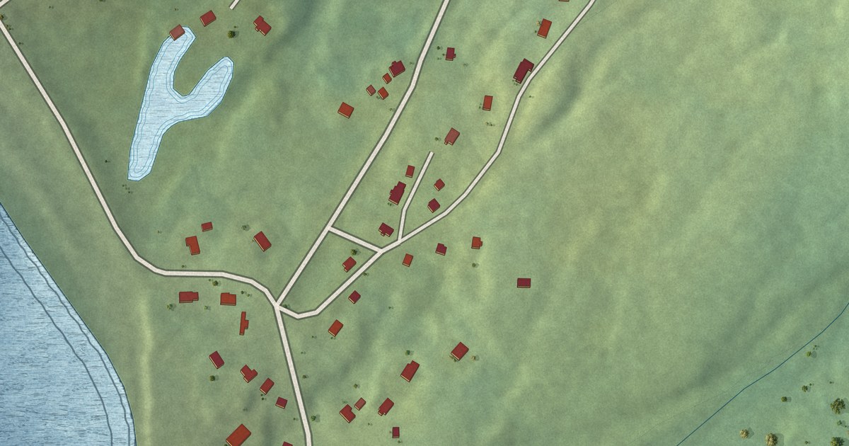
A detailed map of Portugal Cove South, Newfoundland and Labrador, showing every building in its true location, the roads by name, and shaded topographical relief.
Read More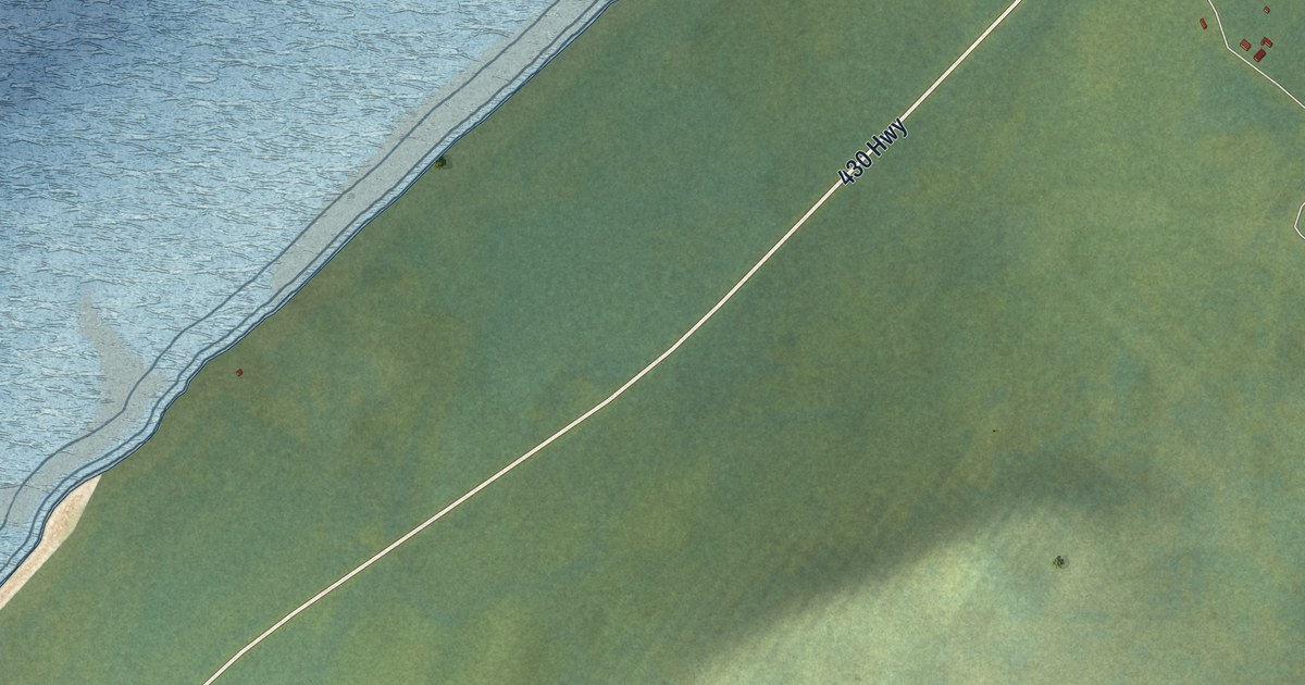
A detailed map of Portland Creek, Newfoundland and Labrador, showing every building in its true location, the roads by name, and shaded topographical relief.
Read More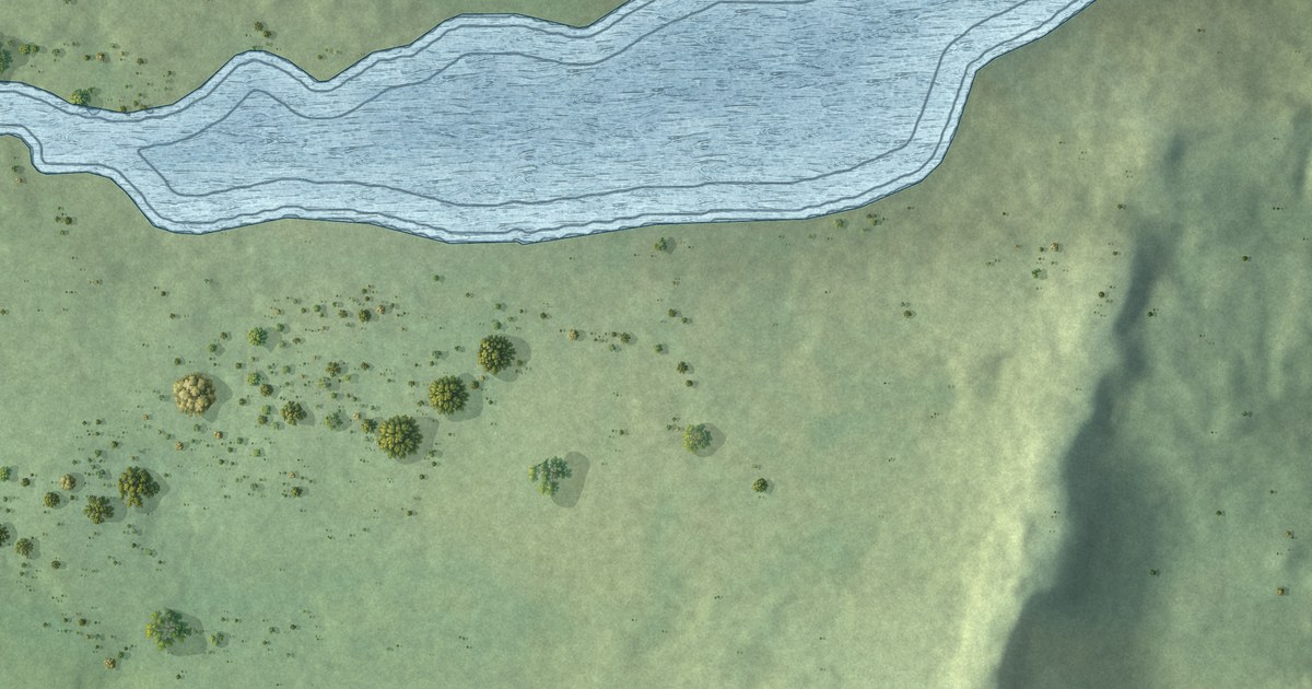
A detailed map of Port Kirwan, Newfoundland and Labrador, showing every building in its true location, the roads by name, and shaded topographical relief.
Read More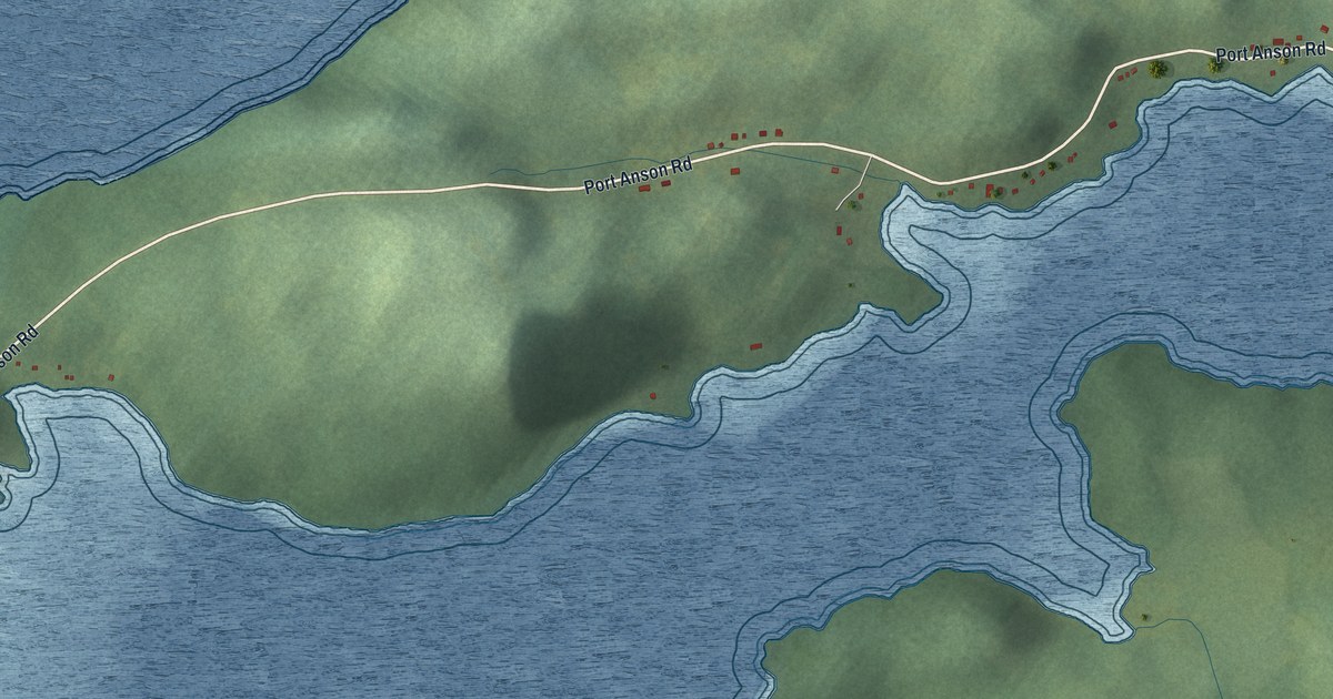
A detailed map of Port Anson, Newfoundland and Labrador, showing every building in its true location, the roads by name, and shaded topographical relief.
Read More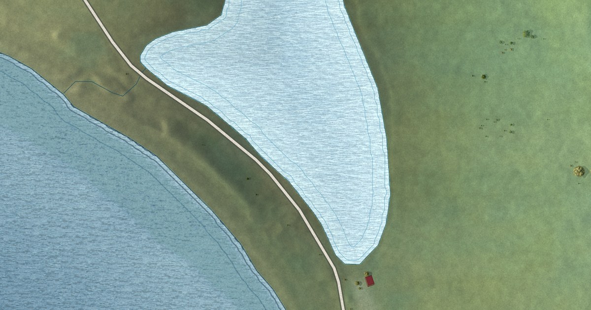
A detailed map of Point au Gaul, Newfoundland and Labrador, showing every building in its true location, the roads by name, and shaded topographical relief.
Read More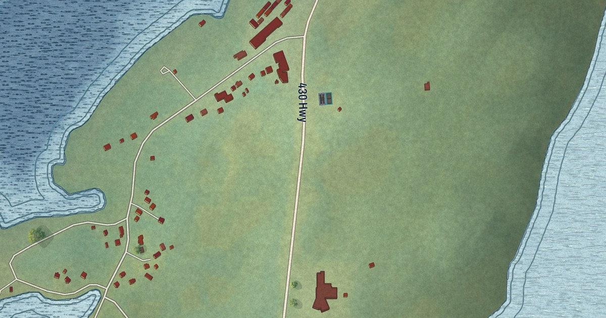
A detailed map of Plum Point, Newfoundland and Labrador, showing every building in its true location, the roads by name, and shaded topographical relief.
Read More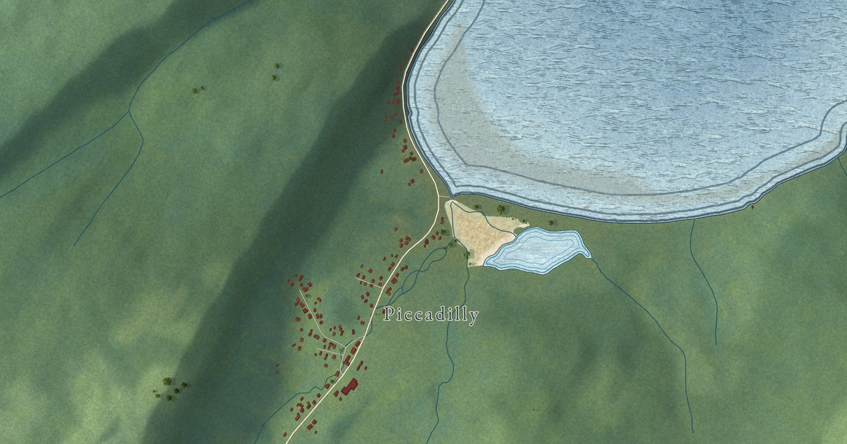
A detailed map of Piccadilly Slant-Abrahams Cove, Newfoundland and Labrador, showing every building in its true location, the roads by name, and shaded topographical relief.
Read More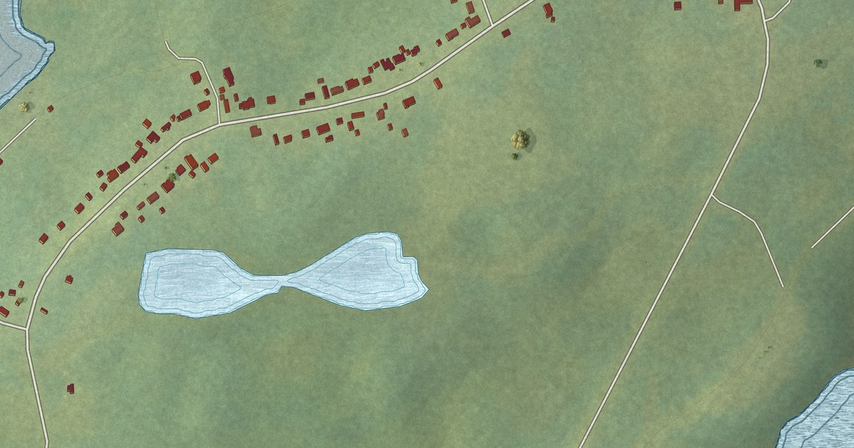
A detailed map of Pidgeon Cove-St. Barbe, Newfoundland and Labrador, showing every building in its true location, the roads by name, and shaded topographical relief.
Read More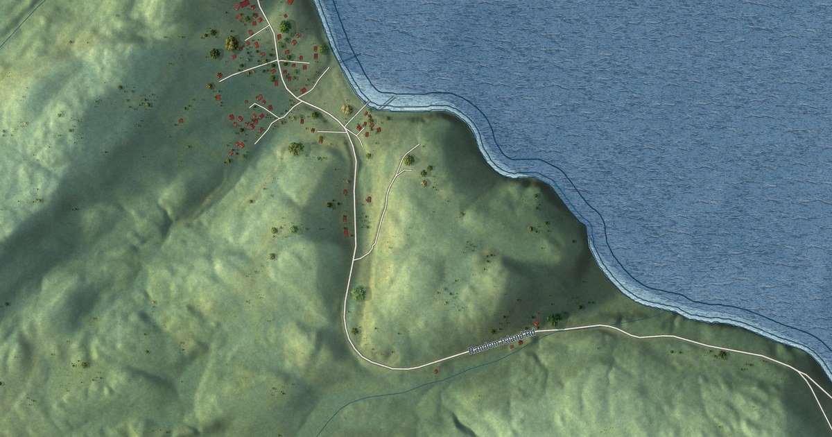
A detailed map of Petley, Newfoundland and Labrador, showing every building in its true location, the roads by name, and shaded topographical relief.
Read More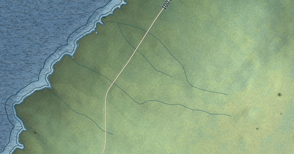
A detailed map of Patrick’s Cove-Angels Cove, Newfoundland and Labrador, showing every building in its true location, the roads by name, and shaded topographical relief.
Read More
A detailed map of Phillips Head, Newfoundland and Labrador, showing every building in its true location, the roads by name, and shaded topographical relief.
Read More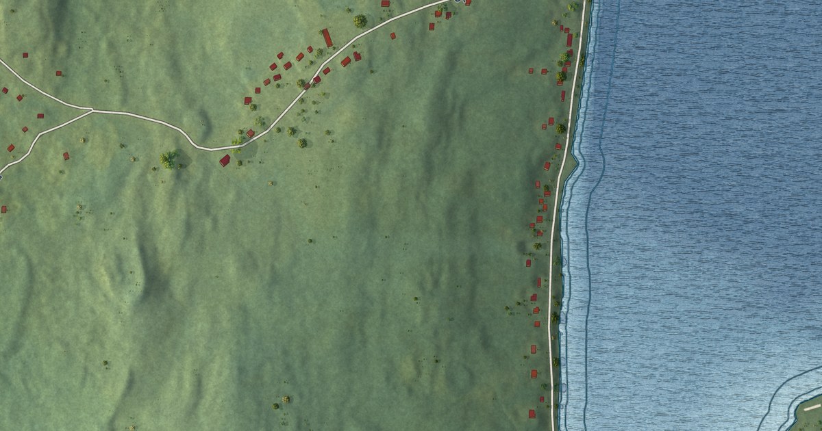
A detailed map of Old Shop, Newfoundland and Labrador, showing every building in its true location, the roads by name, and shaded topographical relief.
Read More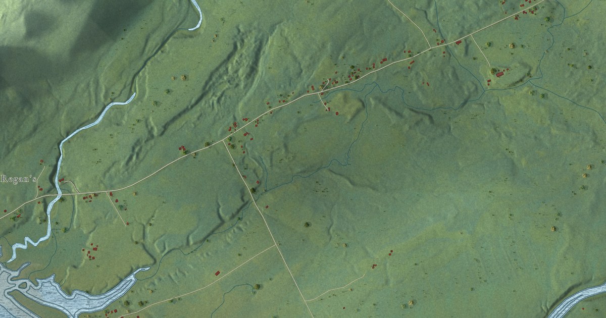
A detailed map of O’Regan’s Central, Newfoundland and Labrador, showing every building in its true location, the roads by name, and shaded topographical relief.
Read More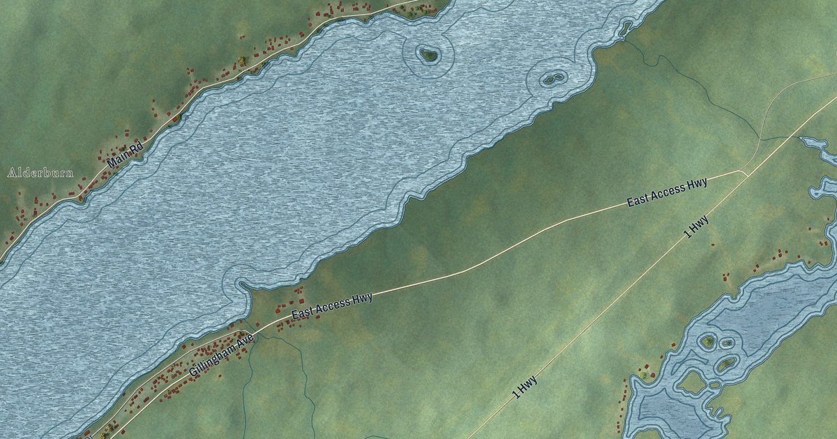
A detailed map of Norris Arm North, Newfoundland and Labrador, showing every building in its true location, the roads by name, and shaded topographical relief.
Read More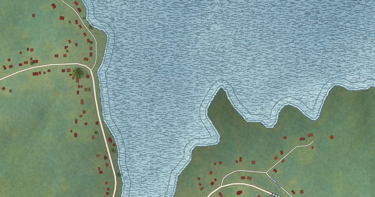
A detailed map of Noggin Cove, Newfoundland and Labrador, showing every building in its true location, the roads by name, and shaded topographical relief.
Read More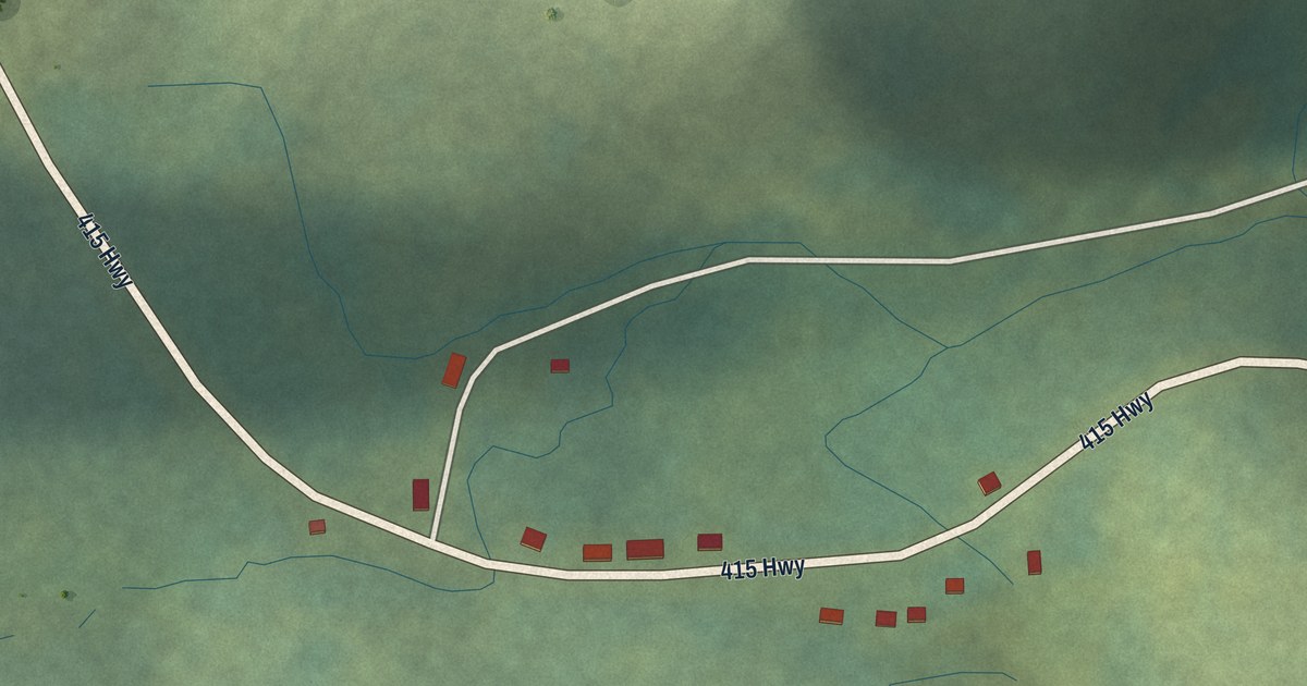
A detailed map of Nippers Harbour, Newfoundland and Labrador, showing every building in its true location, the roads by name, and shaded topographical relief.
Read More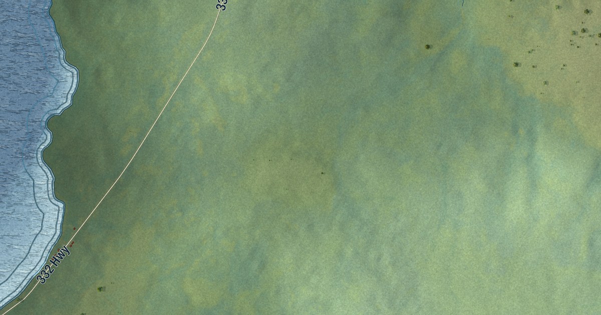
A detailed map of Main Point-Davidsville, Newfoundland and Labrador, showing every building in its true location, the roads by name, and shaded topographical relief.
Read More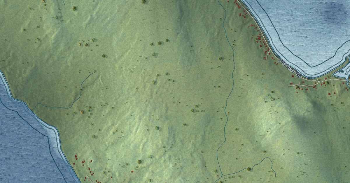
A detailed map of New Harbour, Newfoundland and Labrador, showing every building in its true location, the roads by name, and shaded topographical relief.
Read More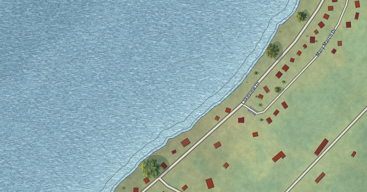
A detailed map of Millertown, Newfoundland and Labrador, showing every building in its true location, the roads by name, and shaded topographical relief.
Read More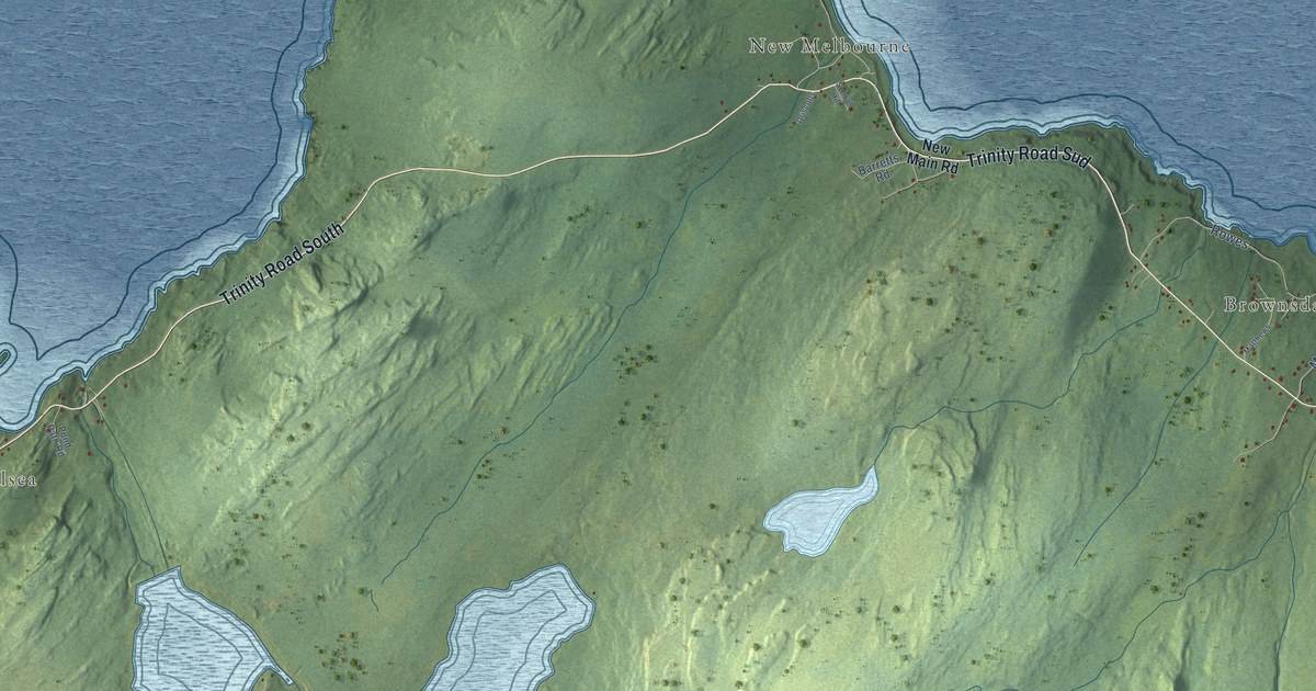
A detailed map of New Chelsea-New Melbourne-Brownsdale-Sibley’s Cove-Lead Cove, Newfoundland and Labrador, showing every building in its true location, the roads by name, and shaded topographical relief.
Read More