Detailed Map of Mattis Point, Newfoundland and Labrador
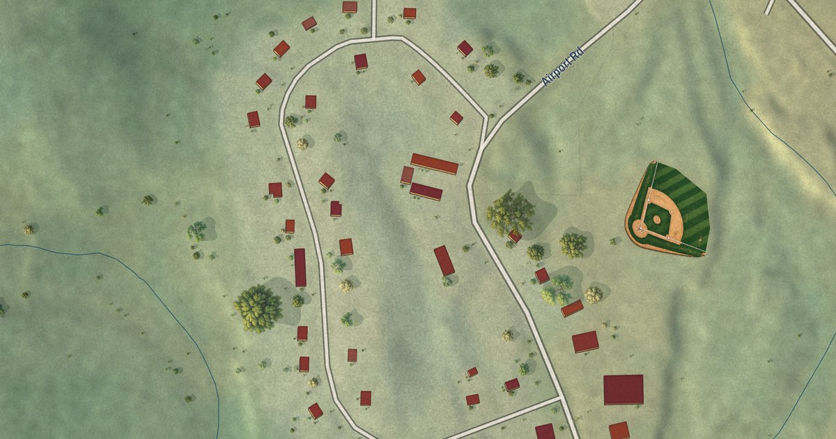
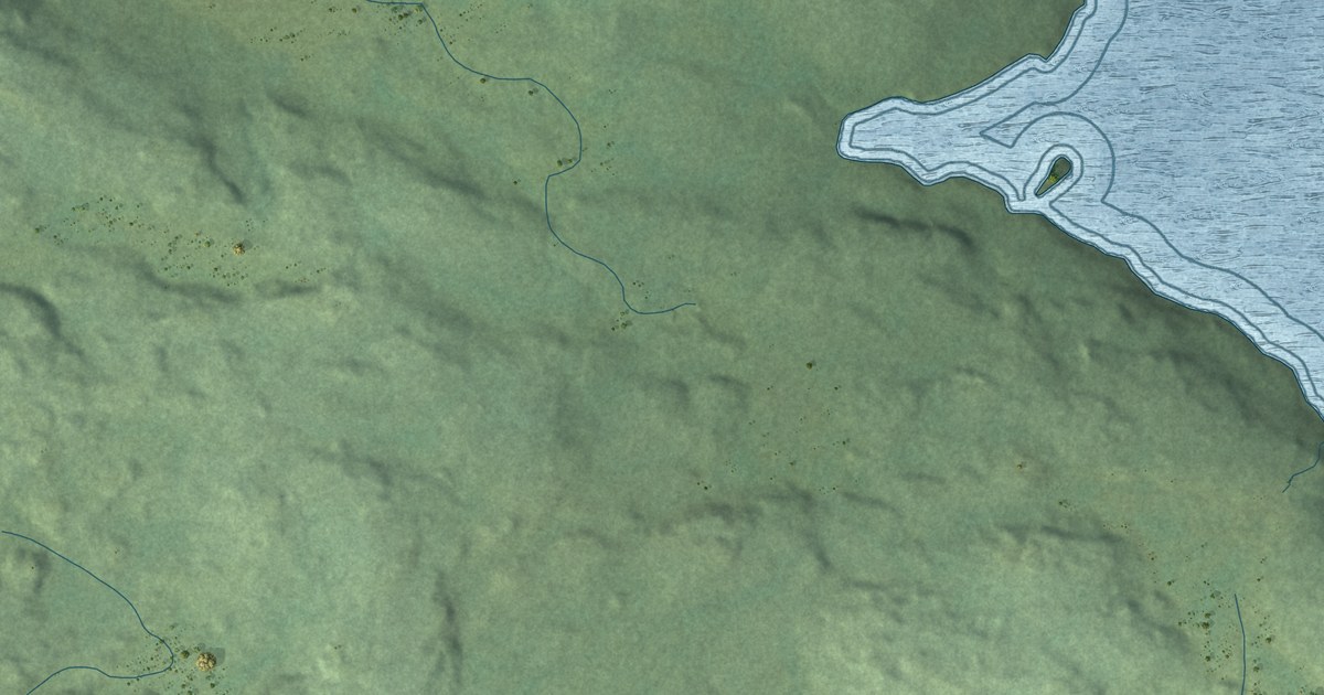
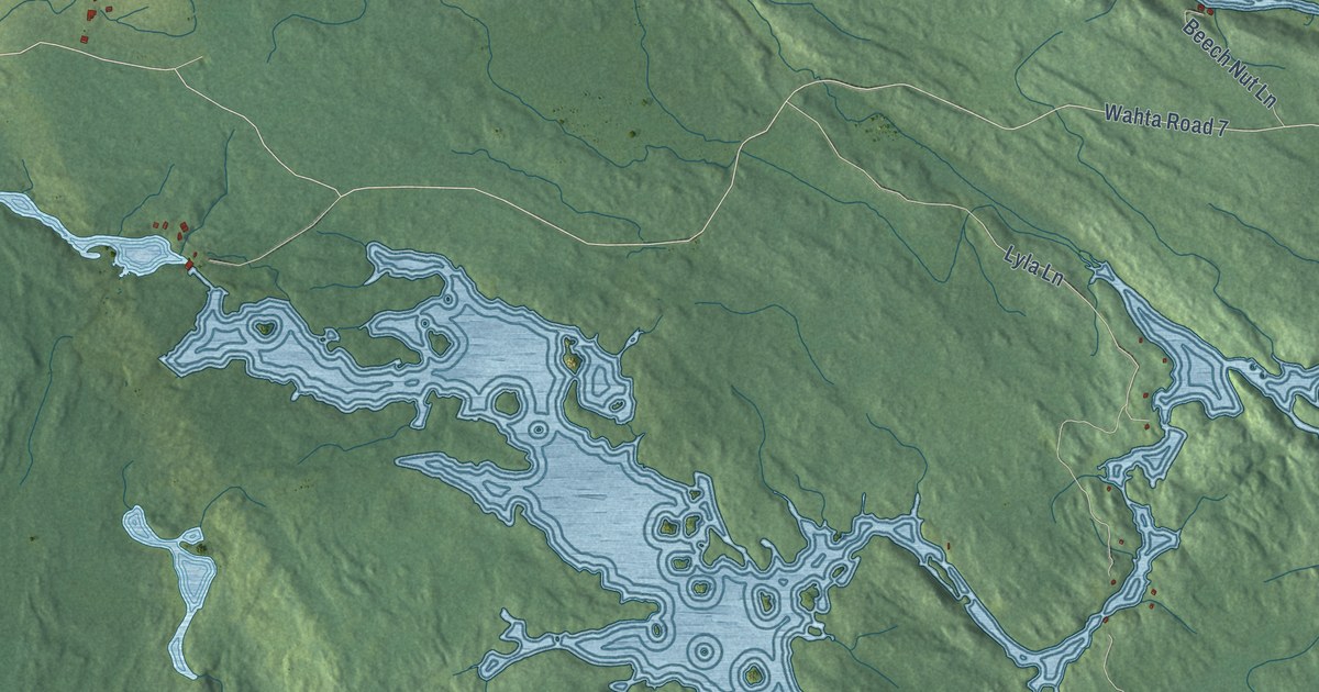
A detailed map of Mattis Point, Newfoundland and Labrador, showing every building in its true location, the roads by name, and shaded topographical relief.
Read More
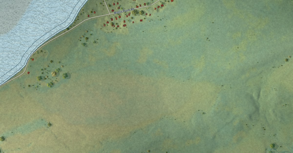
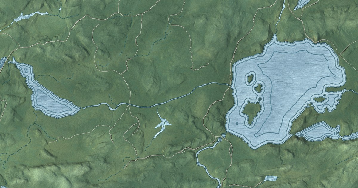
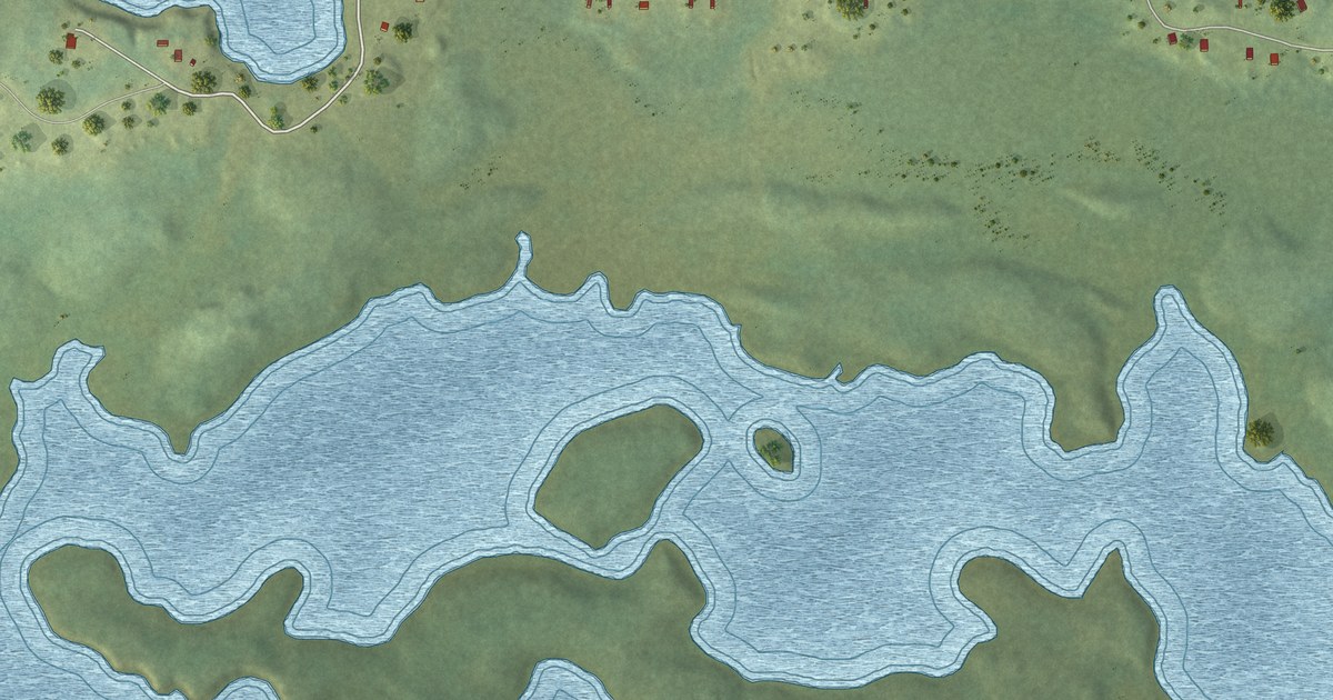
A detailed map of Mattis Point, Newfoundland and Labrador, showing every building in its true location, the roads by name, and shaded topographical relief.
Read More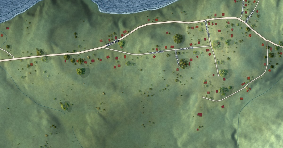
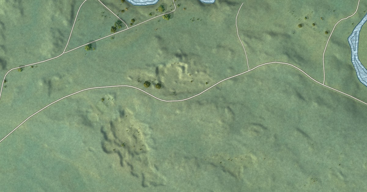
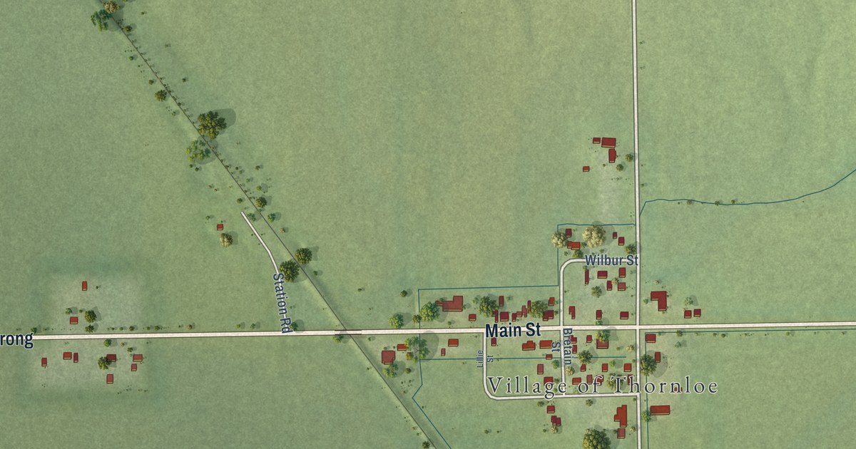
A detailed map of Lower Lance Cove, Newfoundland and Labrador, showing every building in its true location, the roads by name, and shaded topographical relief.
Read More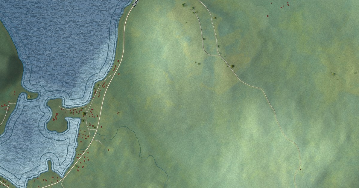
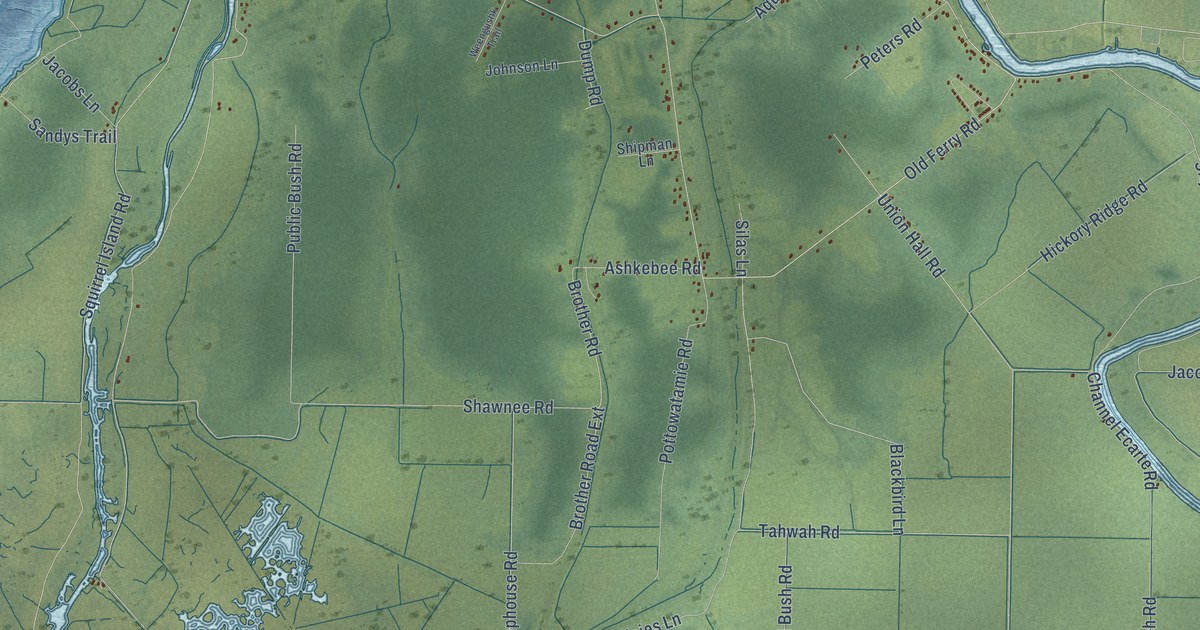
A detailed map of Loon Bay, Newfoundland and Labrador, showing every building in its true location, the roads by name, and shaded topographical relief.
Read More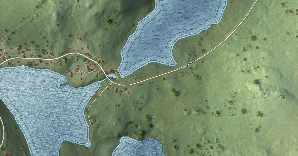
A detailed map of Little St. Lawrence, Newfoundland and Labrador, showing every building in its true location, the roads by name, and shaded topographical relief.
Read More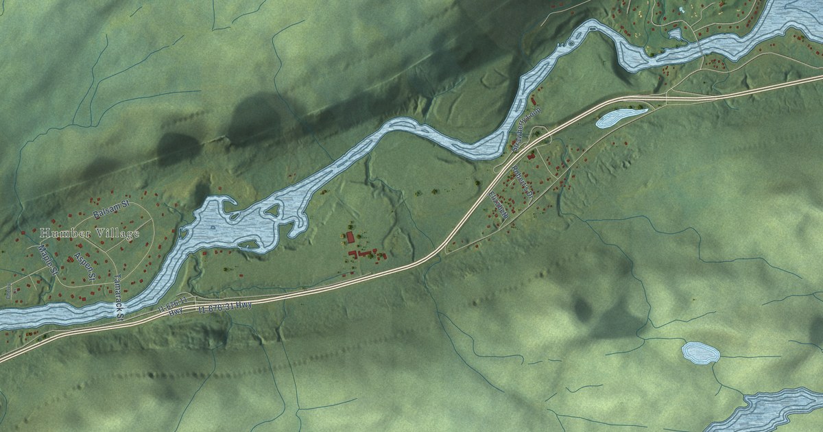
A detailed map of Little Rapids, Newfoundland and Labrador, showing every building in its true location, the roads by name, and shaded topographical relief.
Read More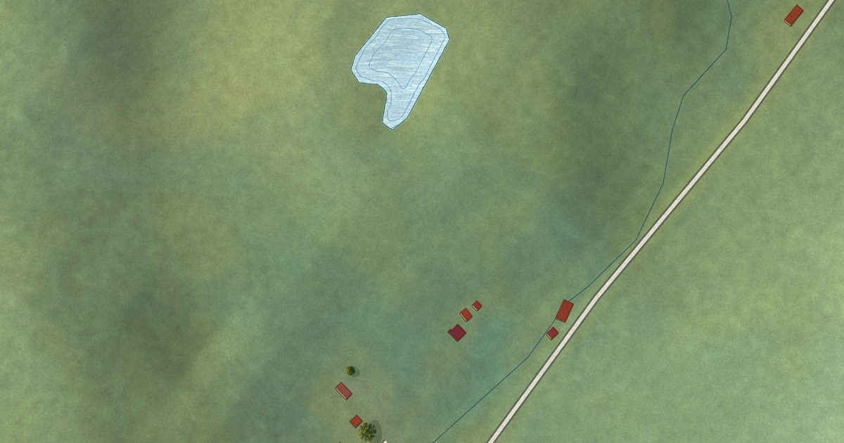
A detailed map of Little Harbour (East), Placentia Bay, Newfoundland and Labrador, showing every building in its true location, the roads by name, and shaded topographical relief.
Read More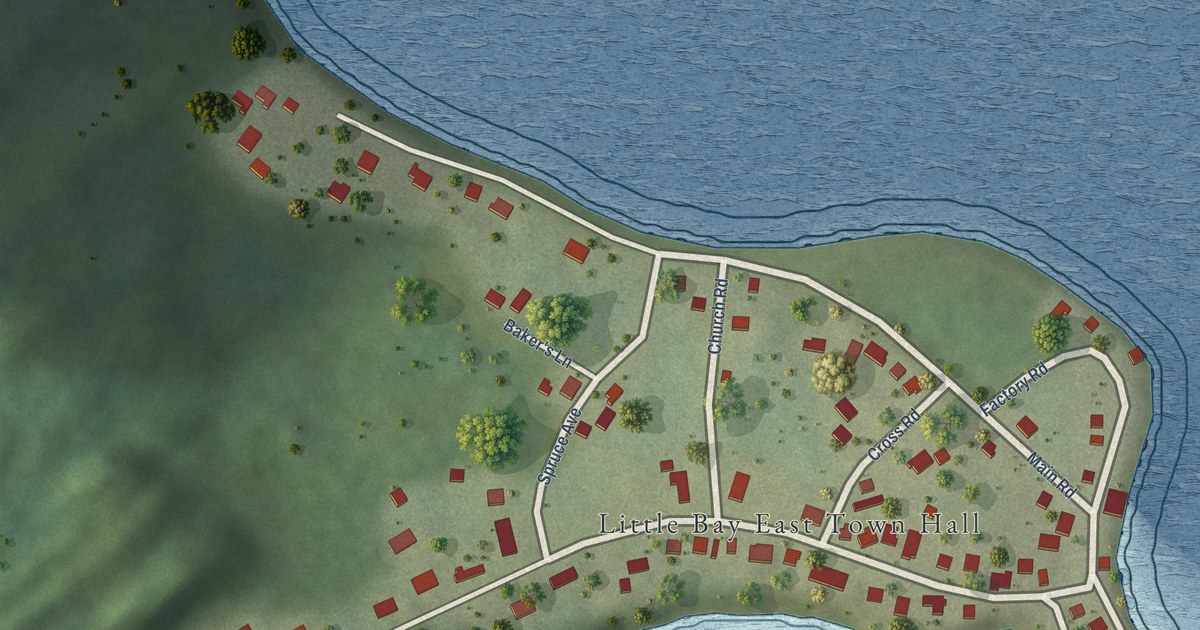
A detailed map of Little Bay East, Newfoundland and Labrador, showing every building in its true location, the roads by name, and shaded topographical relief.
Read More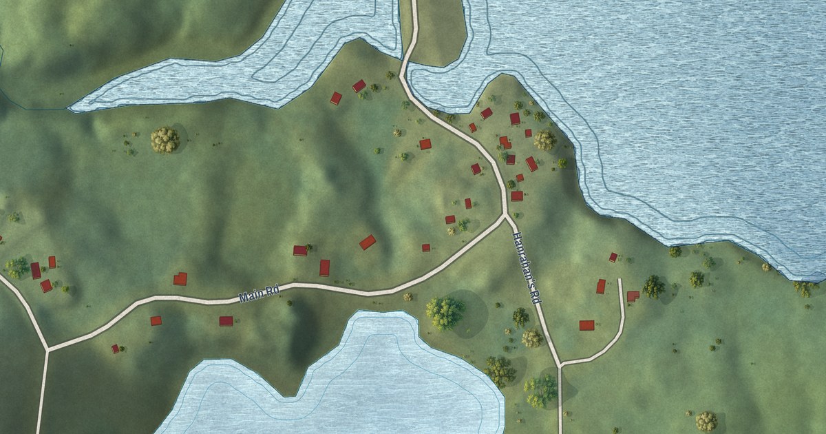
A detailed map of Jean de Baie, Newfoundland and Labrador, showing every building in its true location, the roads by name, and shaded topographical relief.
Read More
A detailed map of King’s Cove, Newfoundland and Labrador, showing every building in its true location, the roads by name, and shaded topographical relief.
Read More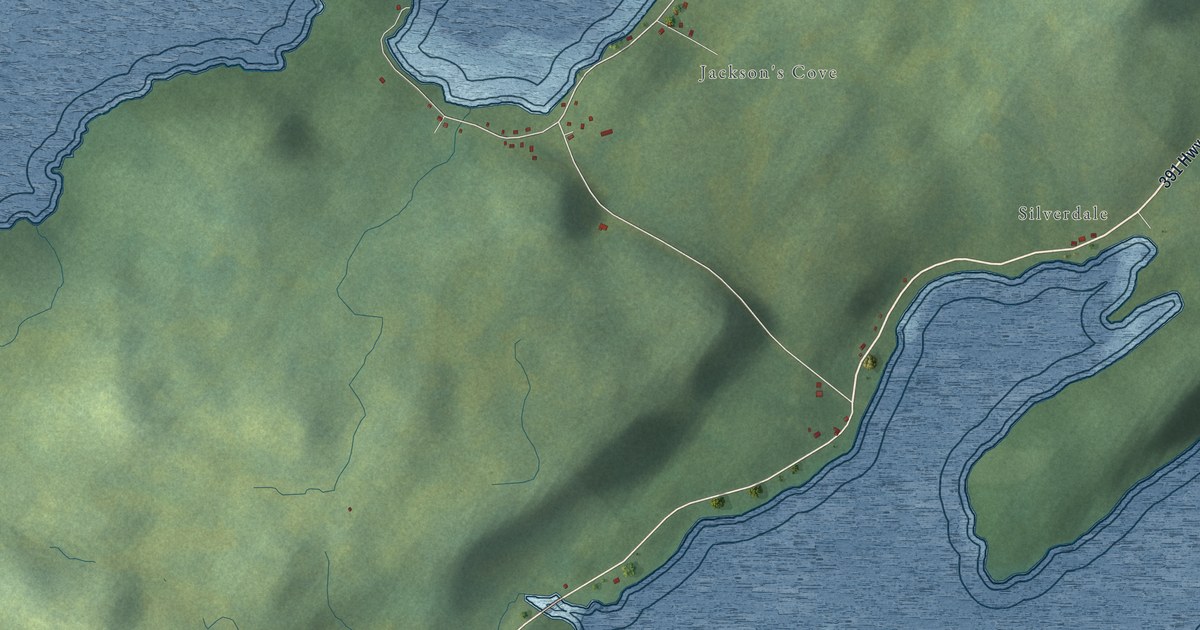
A detailed map of Jackson’s Cove-Langdon’s Cove-Silverdale, Newfoundland and Labrador, showing every building in its true location, the roads by name, and shaded topographical relief.
Read More
A detailed map of Indian Cove, Newfoundland and Labrador, showing every building in its true location, the roads by name, and shaded topographical relief.
Read More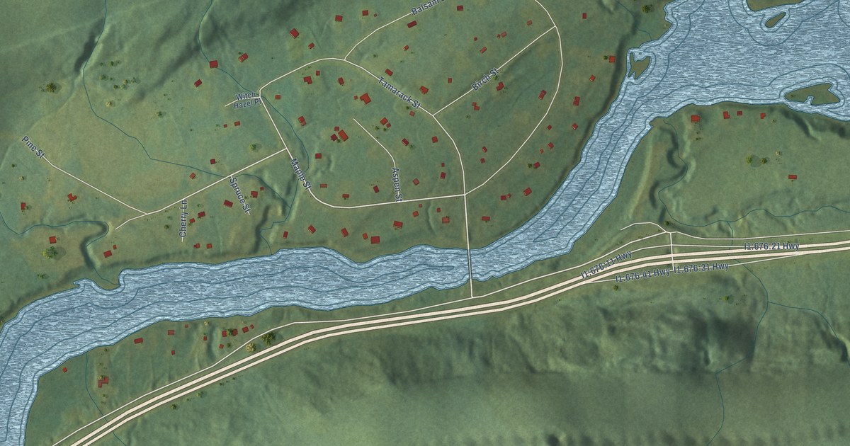
A detailed map of Humber Village, Newfoundland and Labrador, showing every building in its true location, the roads by name, and shaded topographical relief.
Read More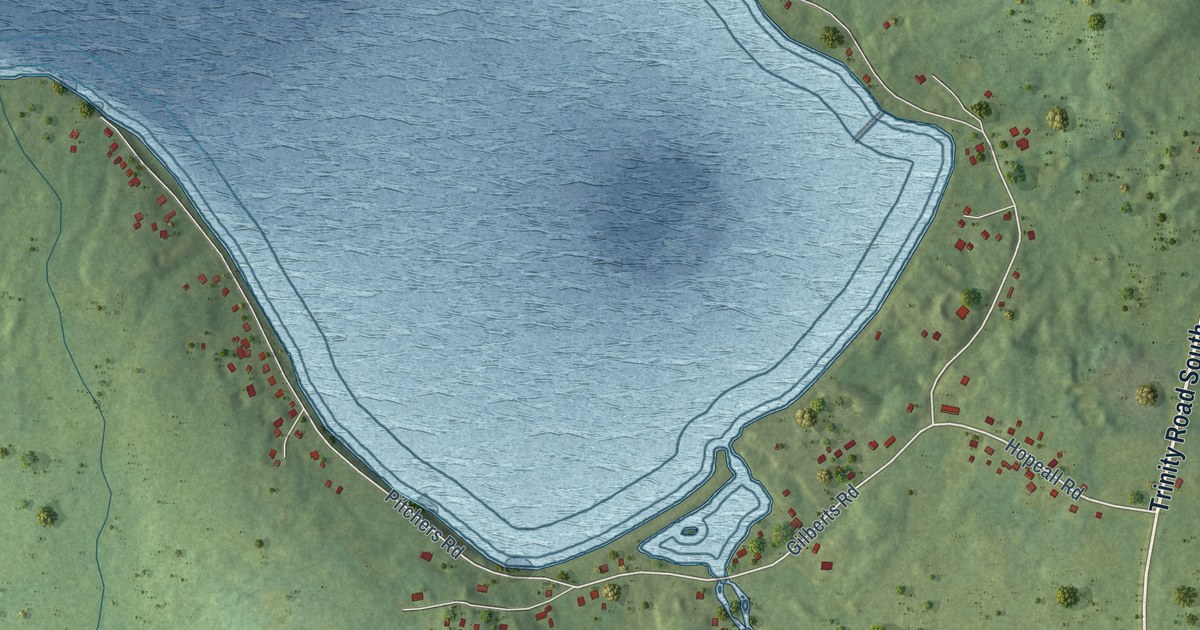
A detailed map of Hopeall, Newfoundland and Labrador, showing every building in its true location, the roads by name, and shaded topographical relief.
Read More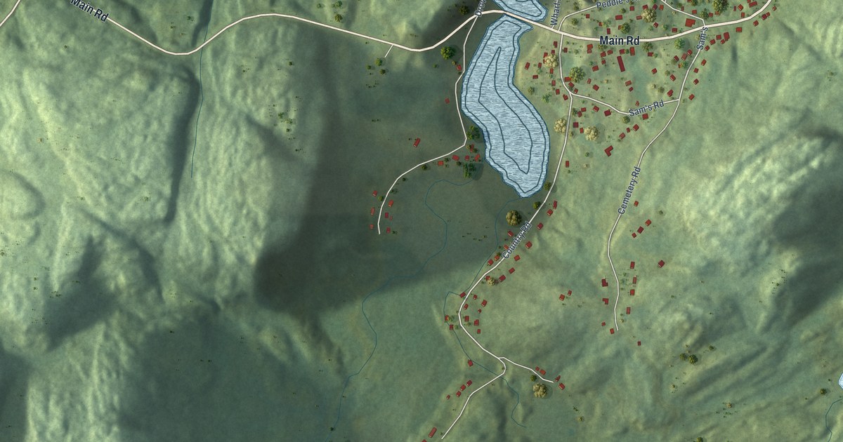
A detailed map of Hodge’s Cove, Newfoundland and Labrador, showing every building in its true location, the roads by name, and shaded topographical relief.
Read More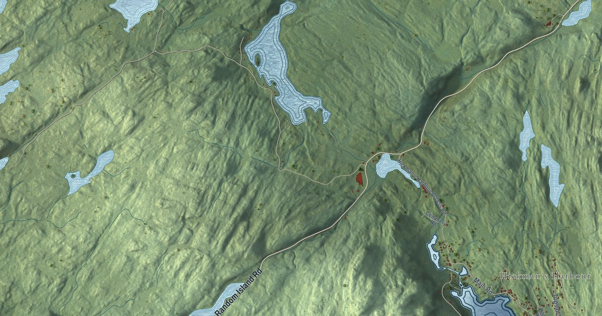
A detailed map of Hickman’s Harbour-Robinson Bight, Newfoundland and Labrador, showing every building in its true location, the roads by name, and shaded topographical relief.
Read More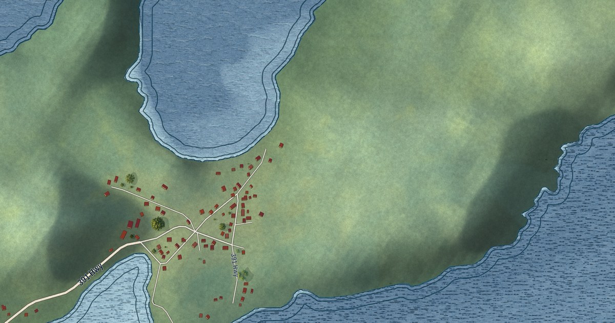
A detailed map of Harry’s Harbour, Newfoundland and Labrador, showing every building in its true location, the roads by name, and shaded topographical relief.
Read More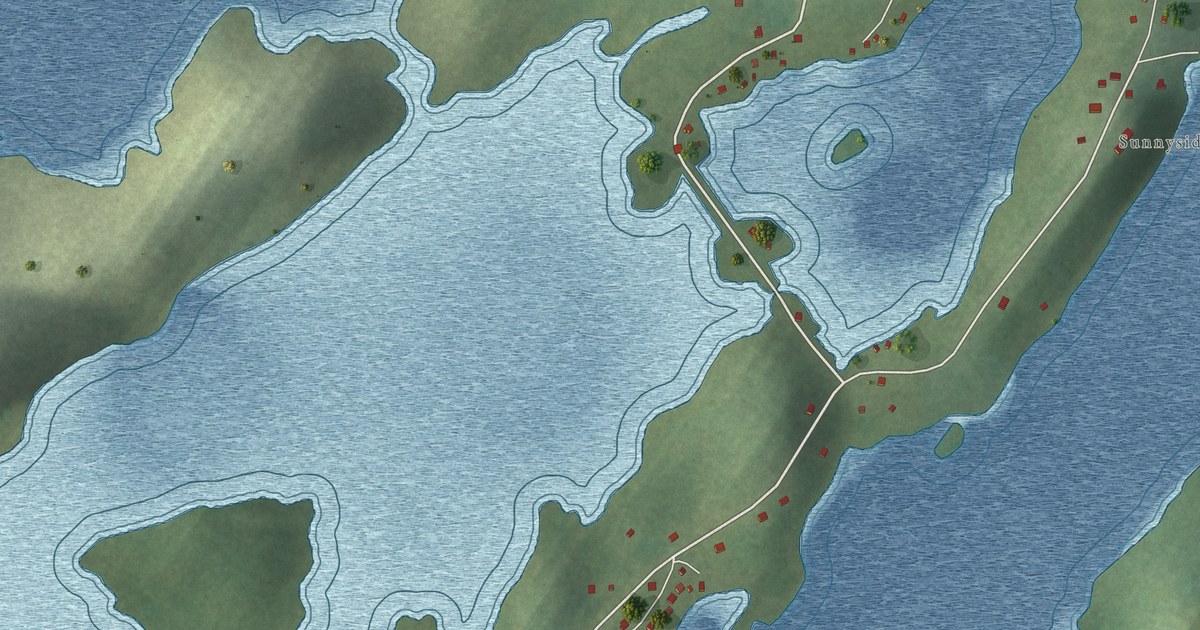
A detailed map of Herring Neck, Newfoundland and Labrador, showing every building in its true location, the roads by name, and shaded topographical relief.
Read More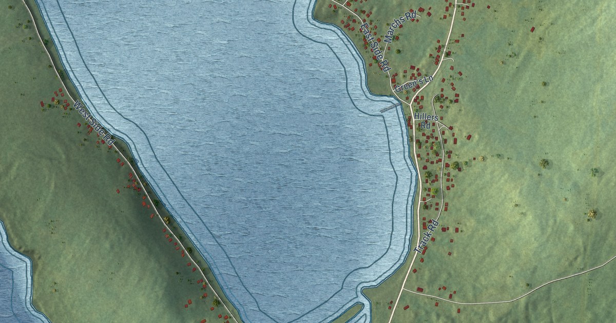
A detailed map of Green’s Harbour, Newfoundland and Labrador, showing every building in its true location, the roads by name, and shaded topographical relief.
Read More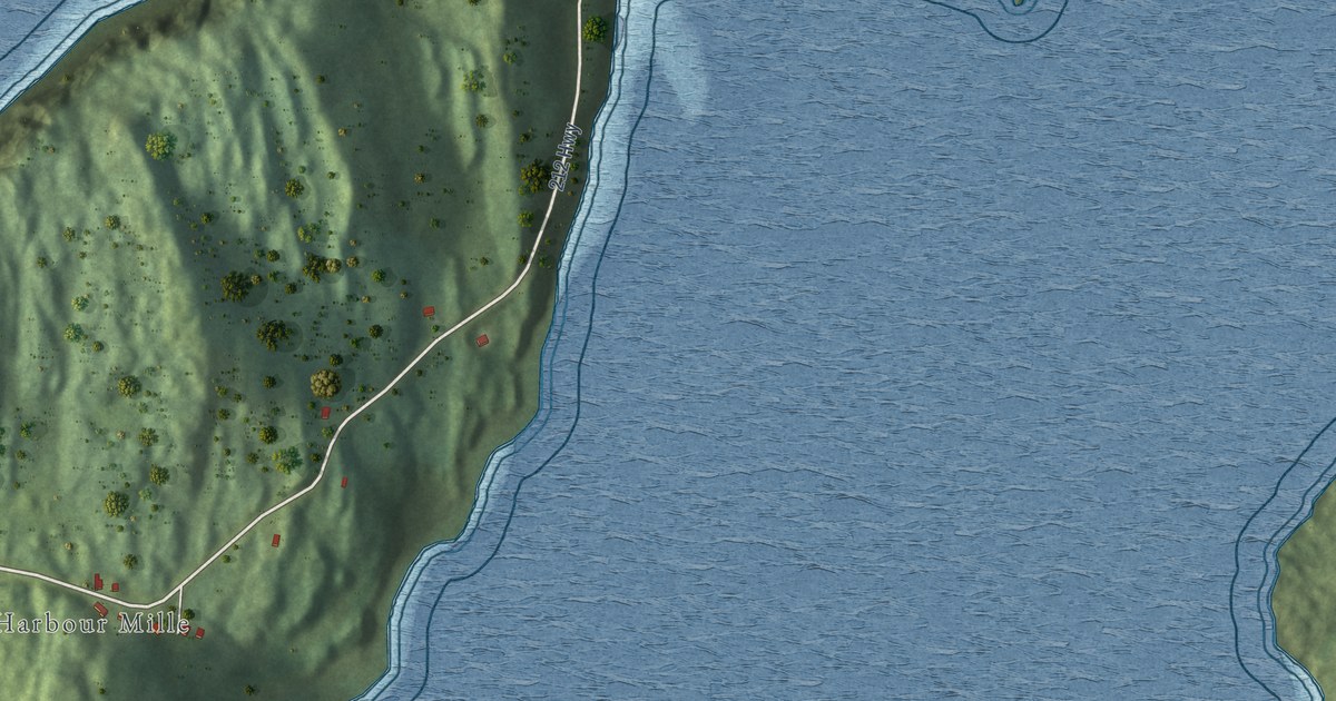
A detailed map of Harbour Mille-Little Harbour East, Newfoundland and Labrador, showing every building in its true location, the roads by name, and shaded topographical relief.
Read More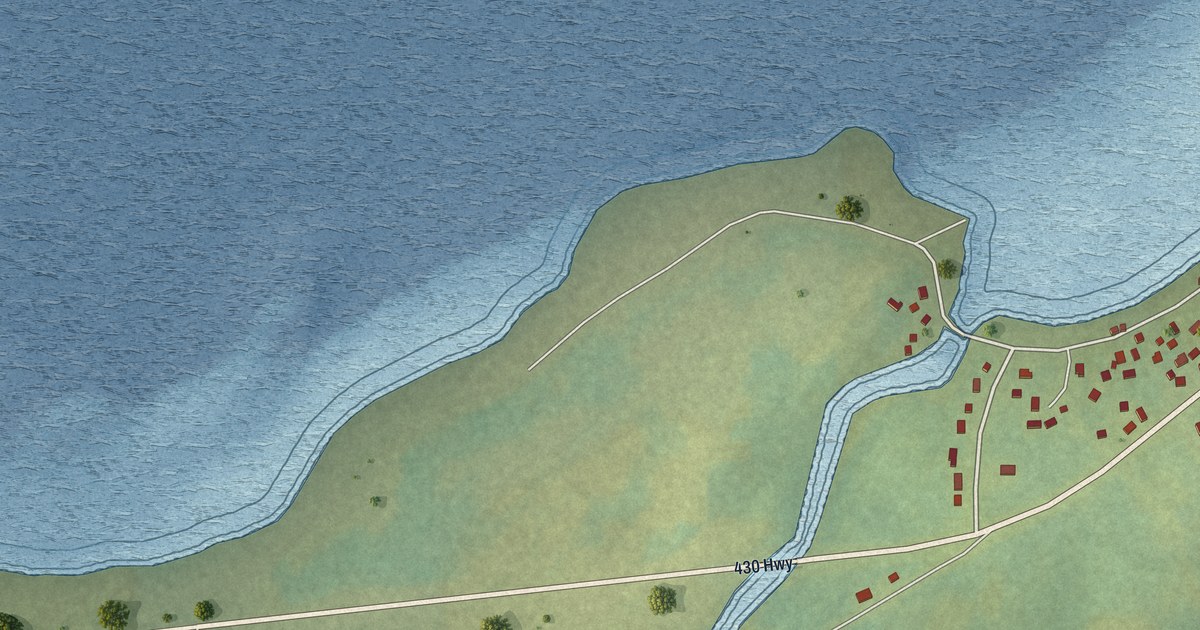
A detailed map of Green Island Brook, Newfoundland and Labrador, showing every building in its true location, the roads by name, and shaded topographical relief.
Read More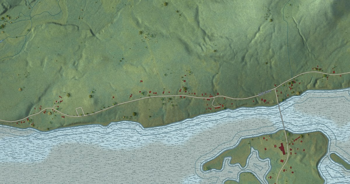
A detailed map of Great Codroy, Newfoundland and Labrador, showing every building in its true location, the roads by name, and shaded topographical relief.
Read More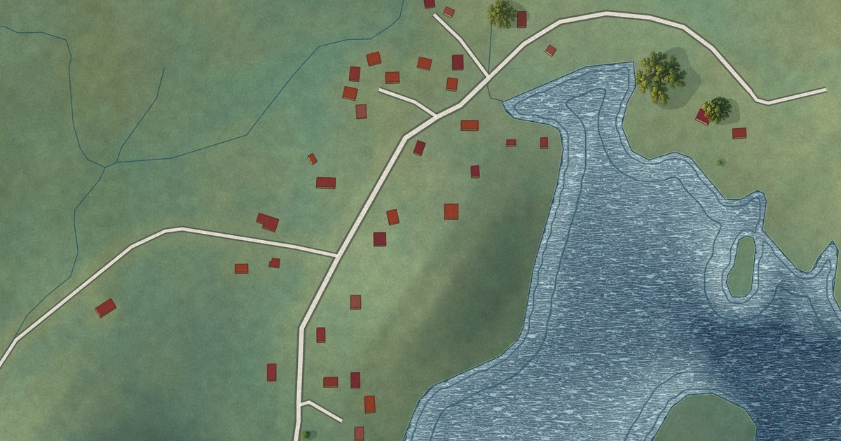
A detailed map of Great Brehat, Newfoundland and Labrador, showing every building in its true location, the roads by name, and shaded topographical relief.
Read More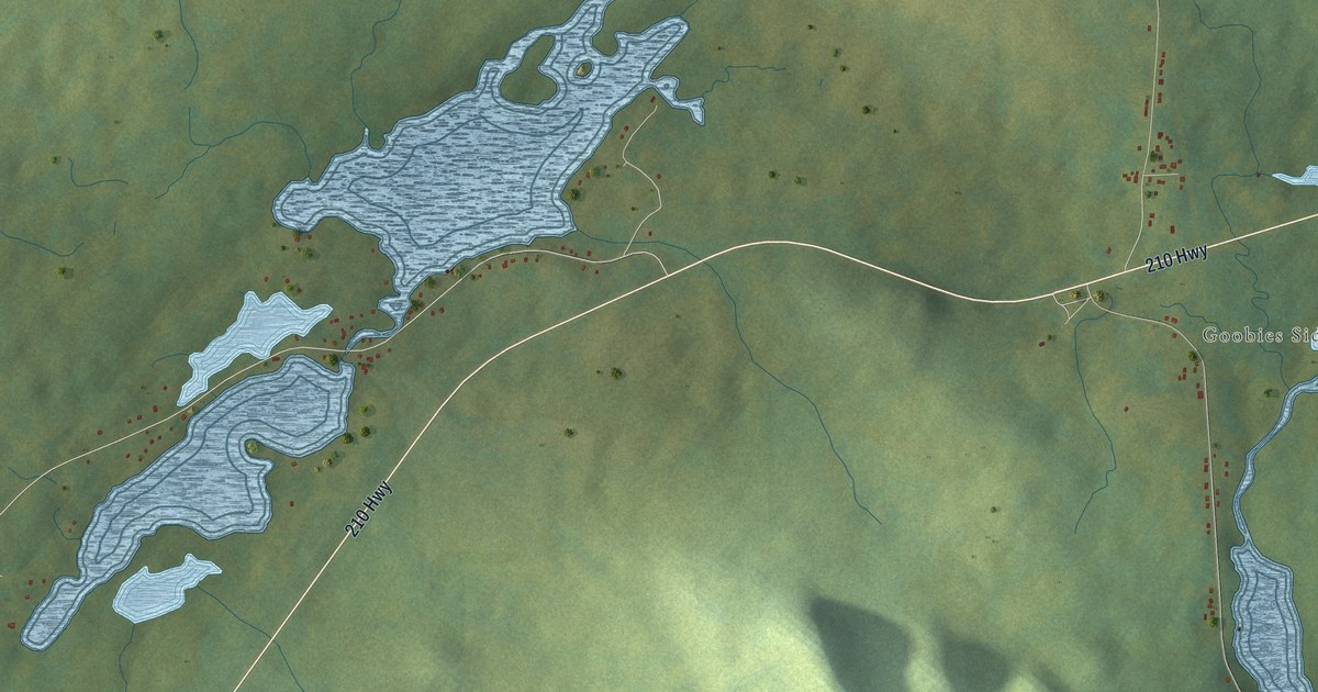
A detailed map of Goobies, Newfoundland and Labrador, showing every building in its true location, the roads by name, and shaded topographical relief.
Read More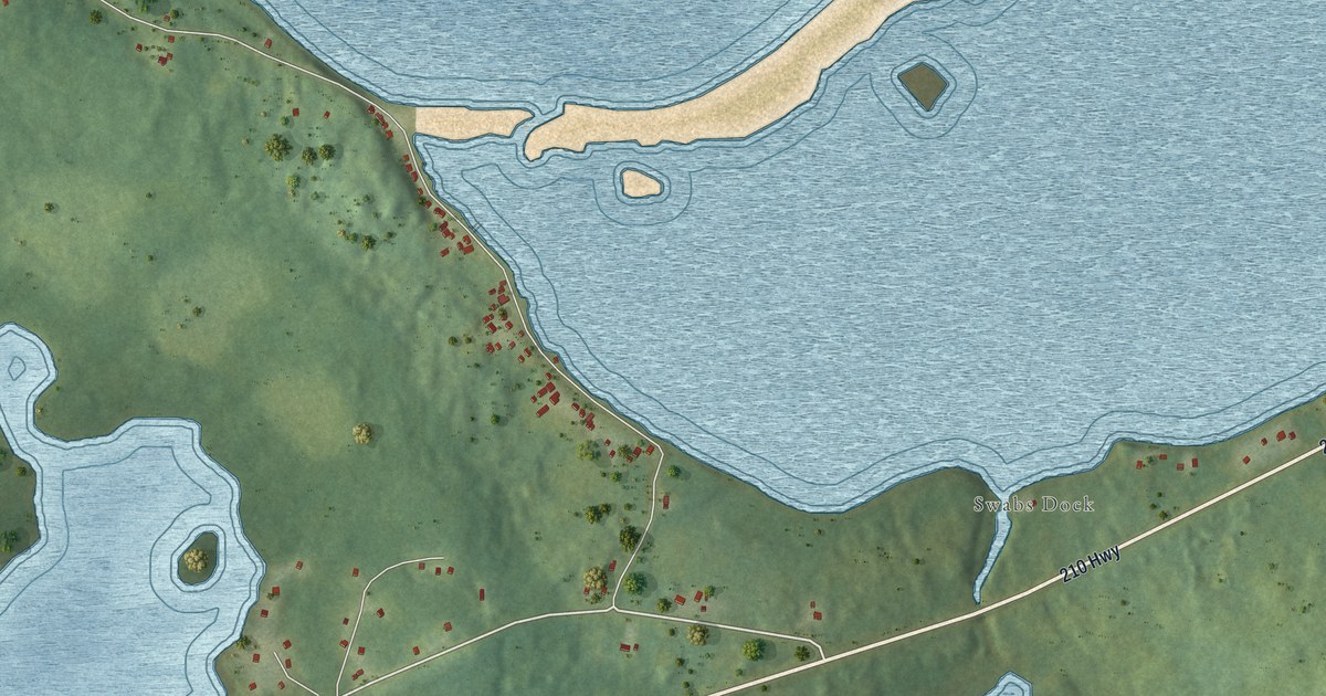
A detailed map of Grand Beach, Newfoundland and Labrador, showing every building in its true location, the roads by name, and shaded topographical relief.
Read More
A detailed map of Gander Bay South, Newfoundland and Labrador, showing every building in its true location, the roads by name, and shaded topographical relief.
Read More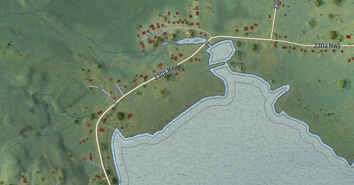
A detailed map of George’s Brook, Newfoundland and Labrador, showing every building in its true location, the roads by name, and shaded topographical relief.
Read More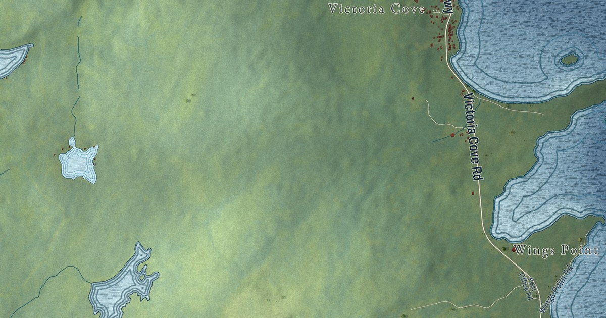
A detailed map of Gander Bay North, Newfoundland and Labrador, showing every building in its true location, the roads by name, and shaded topographical relief.
Read More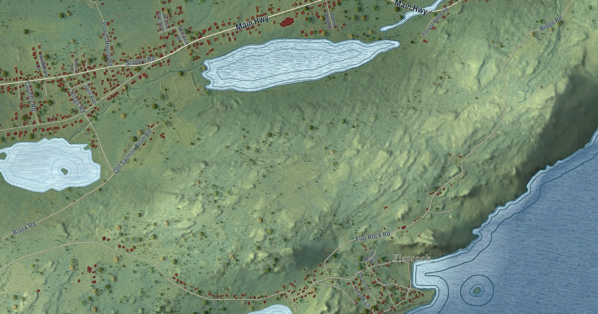
A detailed map of Freshwater, Newfoundland and Labrador, showing every building in its true location, the roads by name, and shaded topographical relief.
Read More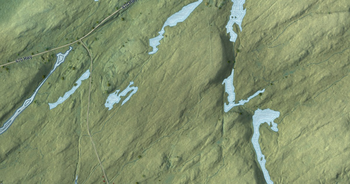
A detailed map of Fox Roost-Margaree, Newfoundland and Labrador, showing every building in its true location, the roads by name, and shaded topographical relief.
Read More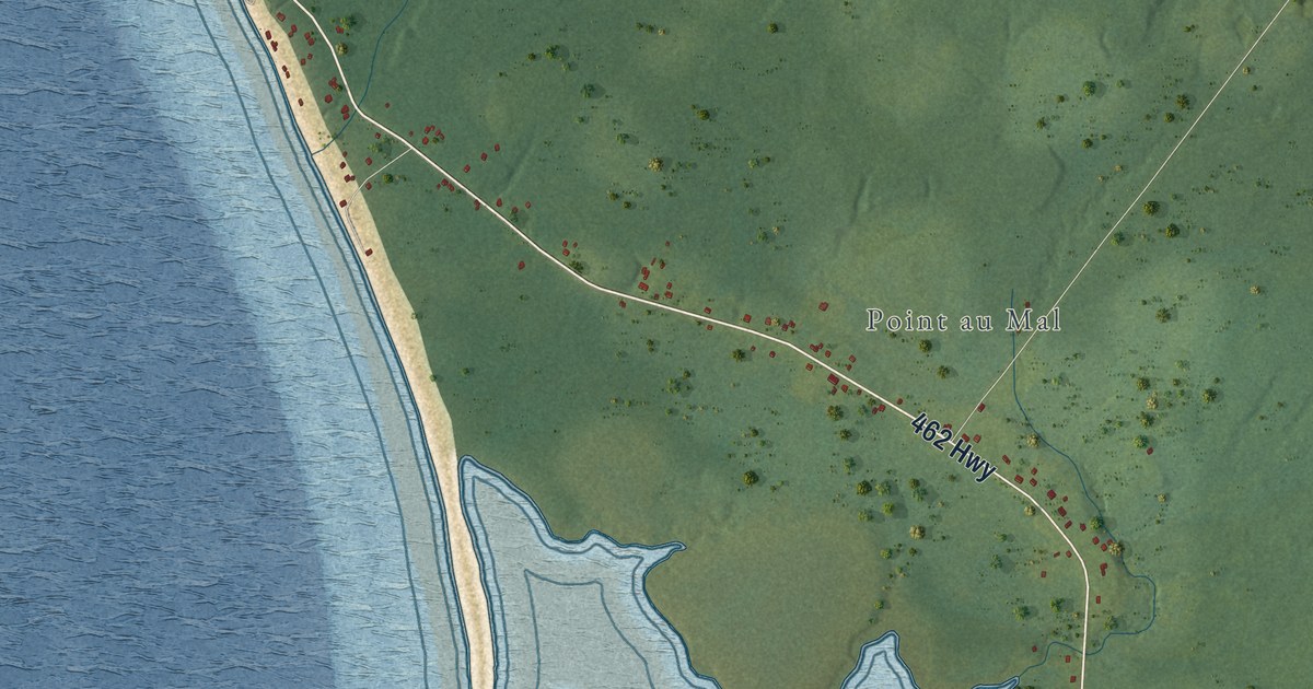
A detailed map of Fox Island River-Point au Mal, Newfoundland and Labrador, showing every building in its true location, the roads by name, and shaded topographical relief.
Read More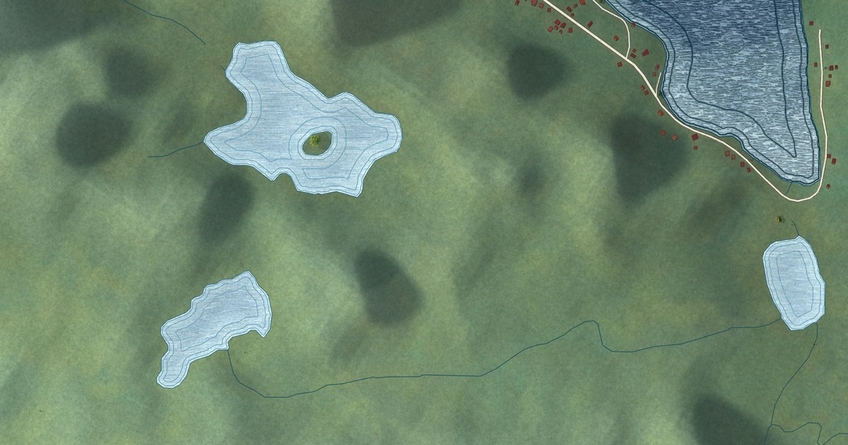
A detailed map of Fortune Harbour, Newfoundland and Labrador, showing every building in its true location, the roads by name, and shaded topographical relief.
Read More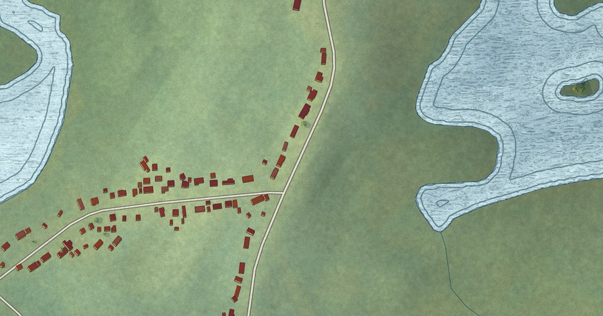
A detailed map of Forresters Point, Newfoundland and Labrador, showing every building in its true location, the roads by name, and shaded topographical relief.
Read More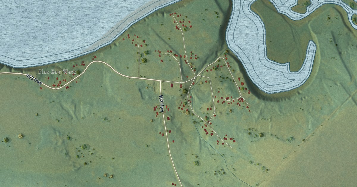
A detailed map of Flat Bay, Newfoundland and Labrador, showing every building in its true location, the roads by name, and shaded topographical relief.
Read More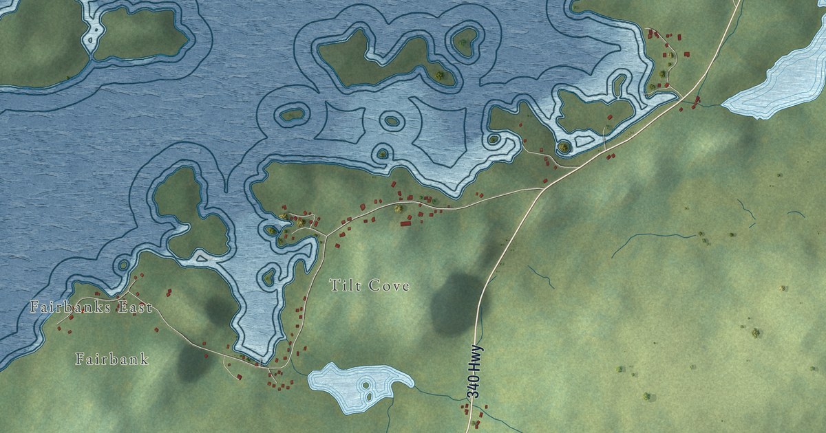
A detailed map of Fairbanks-Hillgrade, Newfoundland and Labrador, showing every building in its true location, the roads by name, and shaded topographical relief.
Read More
A detailed map of Epworth-Great Salmonier, Newfoundland and Labrador, showing every building in its true location, the roads by name, and shaded topographical relief.
Read More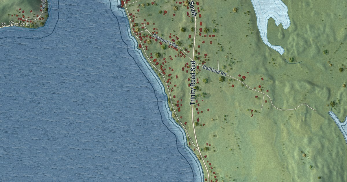
A detailed map of Dildo, Newfoundland and Labrador, showing every building in its true location, the roads by name, and shaded topographical relief.
Read More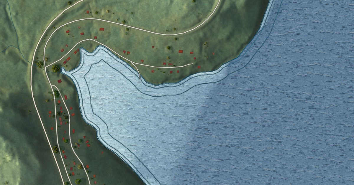
A detailed map of Deep Bight, Newfoundland and Labrador, showing every building in its true location, the roads by name, and shaded topographical relief.
Read More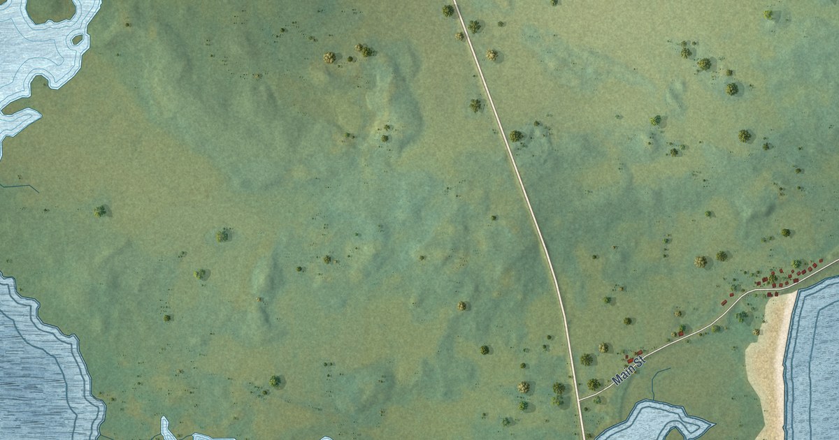
A detailed map of Deadman’s Bay, Newfoundland and Labrador, showing every building in its true location, the roads by name, and shaded topographical relief.
Read More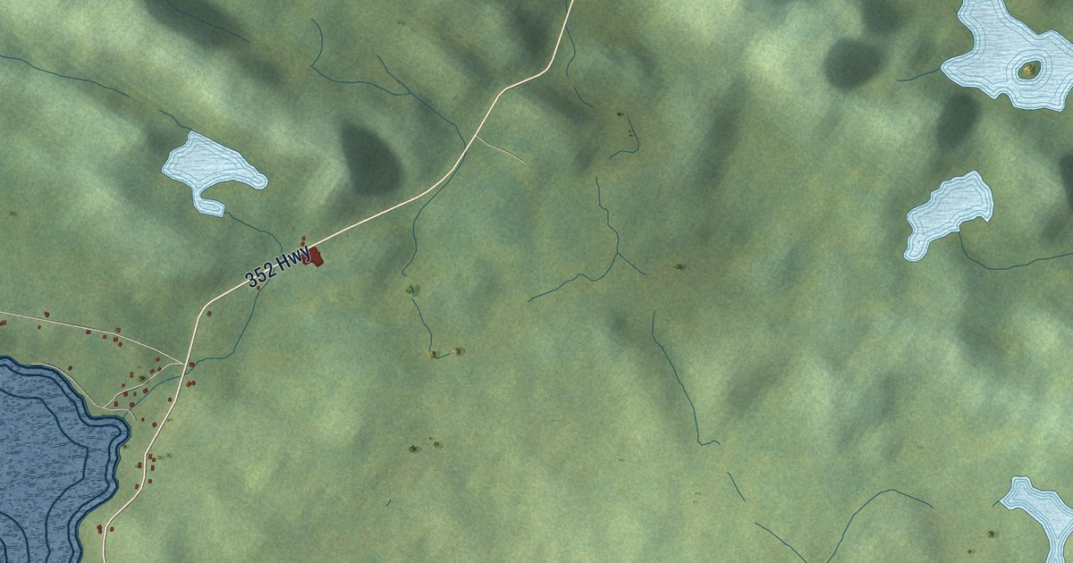
A detailed map of Cottrell’s Cove, Newfoundland and Labrador, showing every building in its true location, the roads by name, and shaded topographical relief.
Read More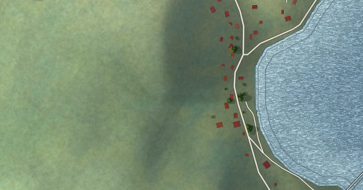
A detailed map of Charlottetown, B. Bay, Newfoundland and Labrador, showing every building in its true location, the roads by name, and shaded topographical relief.
Read More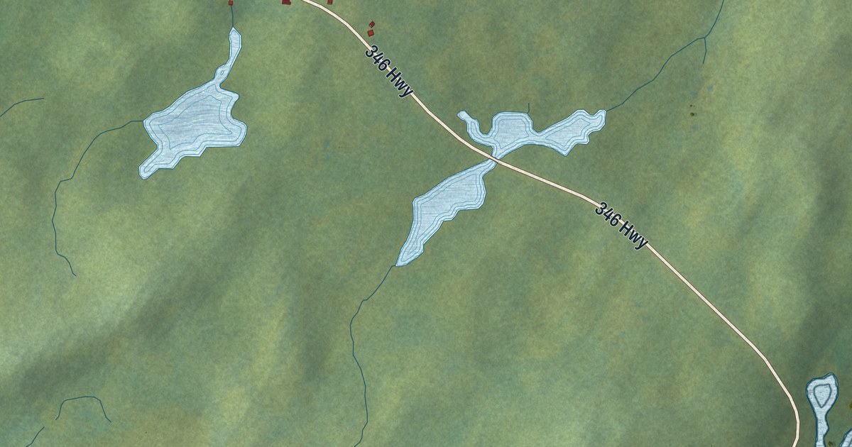
A detailed map of Cobbs Arm, Newfoundland and Labrador, showing every building in its true location, the roads by name, and shaded topographical relief.
Read More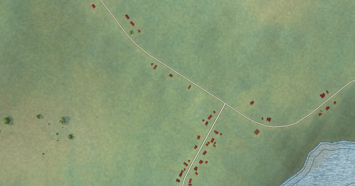
A detailed map of Castor River North, Newfoundland and Labrador, showing every building in its true location, the roads by name, and shaded topographical relief.
Read More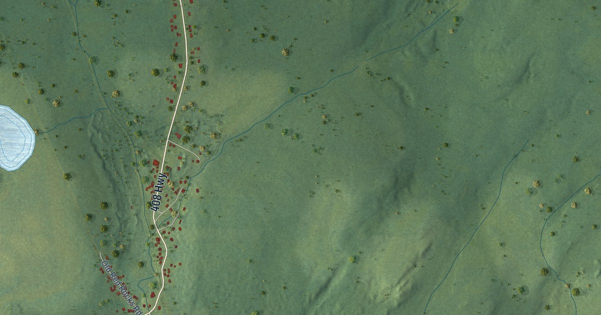
A detailed map of Cape Ray, Newfoundland and Labrador, showing every building in its true location, the roads by name, and shaded topographical relief.
Read More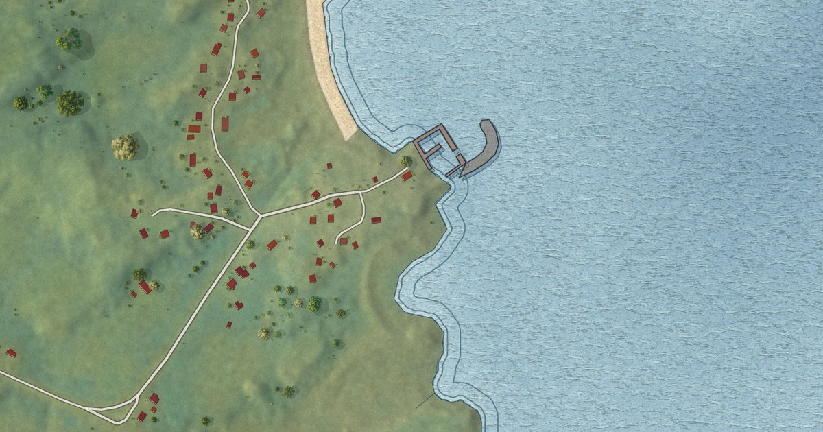
A detailed map of Cape Freels North, Newfoundland and Labrador, showing every building in its true location, the roads by name, and shaded topographical relief.
Read More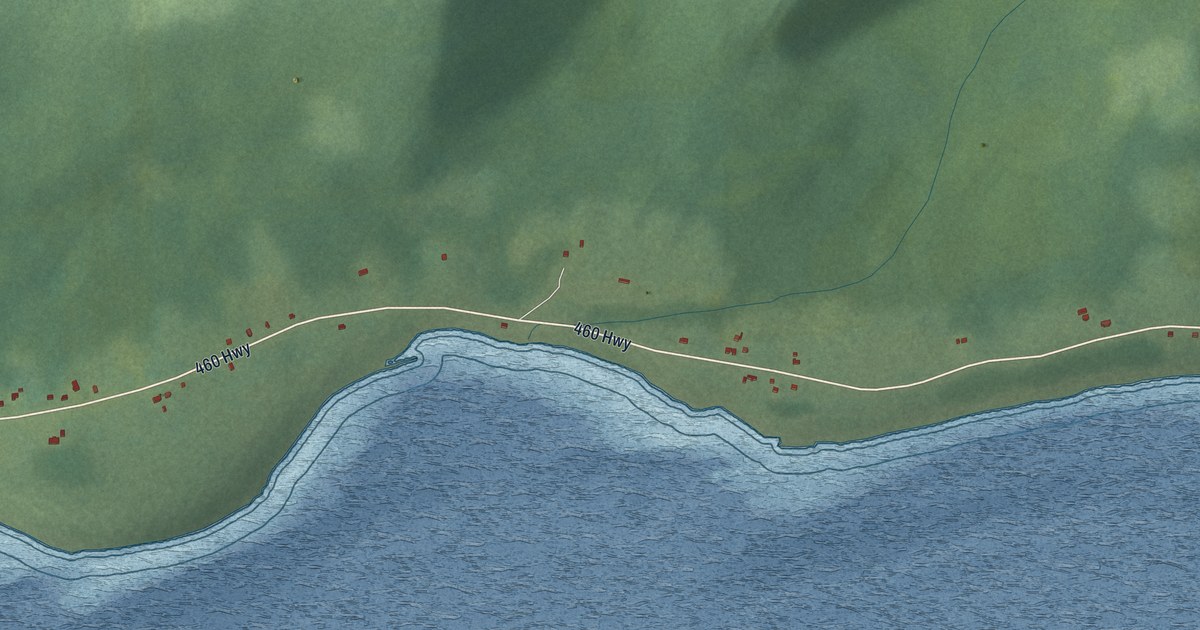
A detailed map of Campbells Creek, Newfoundland and Labrador, showing every building in its true location, the roads by name, and shaded topographical relief.
Read More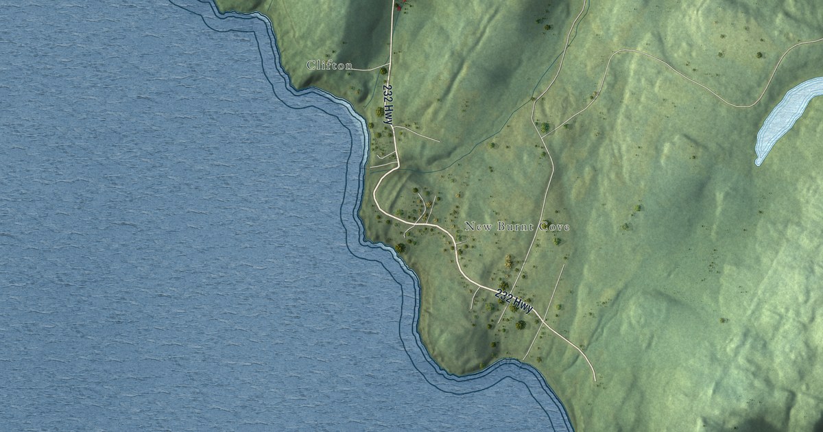
A detailed map of Burgoynes Cove, Newfoundland and Labrador, showing every building in its true location, the roads by name, and shaded topographical relief.
Read More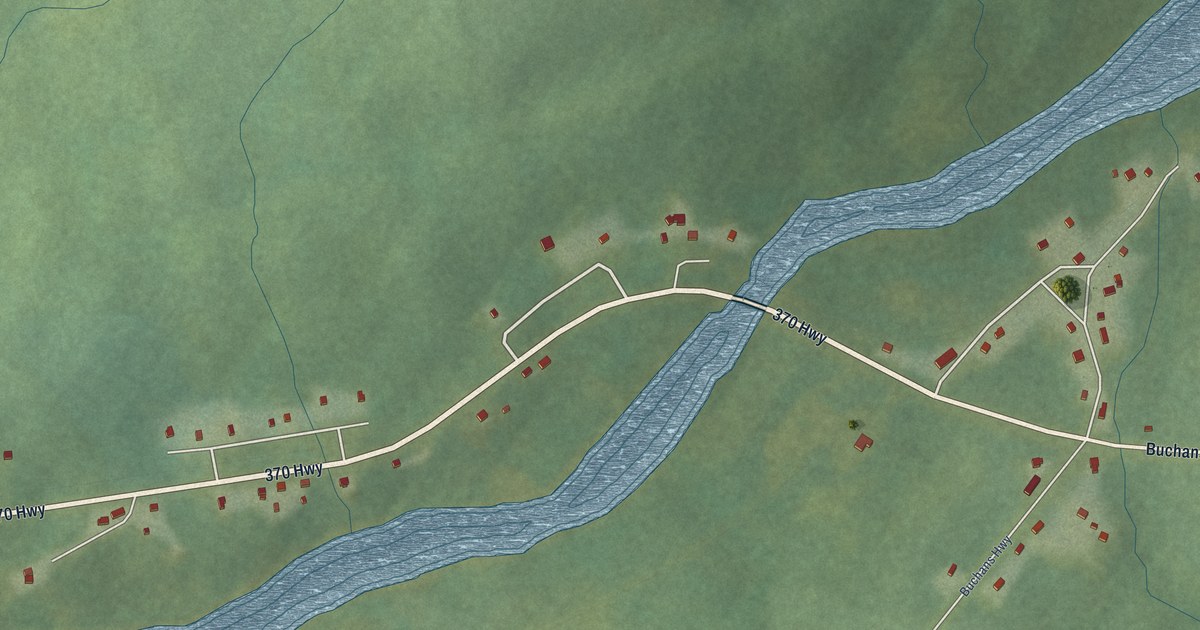
A detailed map of Buchans Junction, Newfoundland and Labrador, showing every building in its true location, the roads by name, and shaded topographical relief.
Read More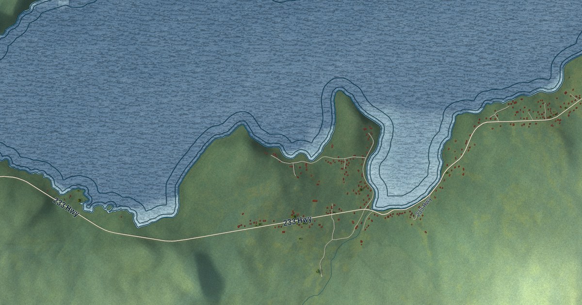
A detailed map of Bunyan’s Cove, Newfoundland and Labrador, showing every building in its true location, the roads by name, and shaded topographical relief.
Read More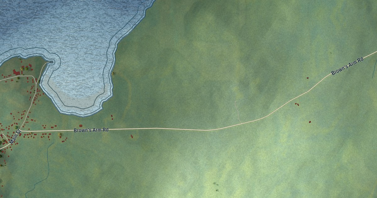
A detailed map of Brown’s Arm, Newfoundland and Labrador, showing every building in its true location, the roads by name, and shaded topographical relief.
Read More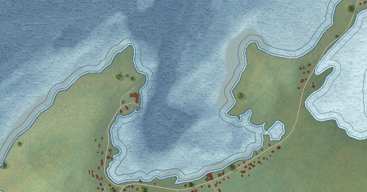
A detailed map of Brig Bay, Newfoundland and Labrador, showing every building in its true location, the roads by name, and shaded topographical relief.
Read More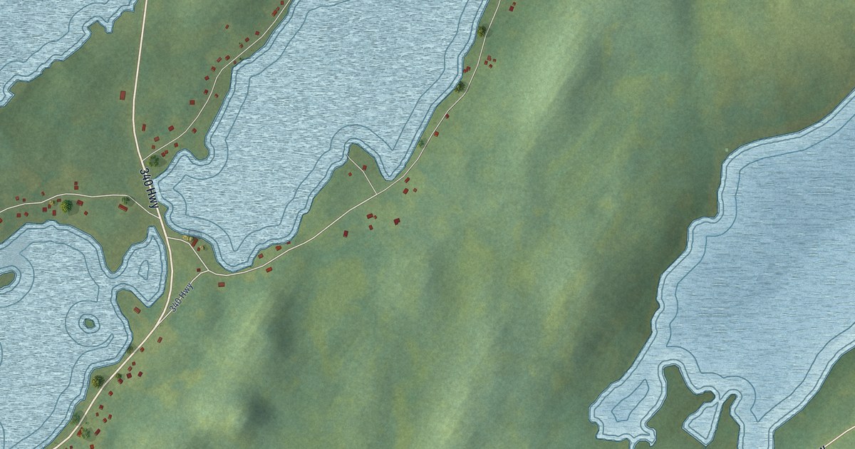
A detailed map of Boyd’s Cove, Newfoundland and Labrador, showing every building in its true location, the roads by name, and shaded topographical relief.
Read More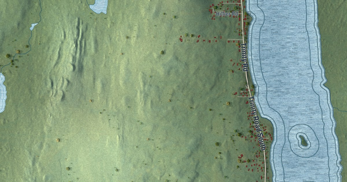
A detailed map of Blaketown, Newfoundland and Labrador, showing every building in its true location, the roads by name, and shaded topographical relief.
Read More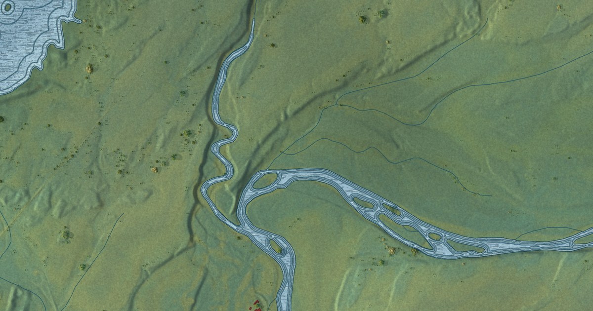
A detailed map of Black Duck, Newfoundland and Labrador, showing every building in its true location, the roads by name, and shaded topographical relief.
Read More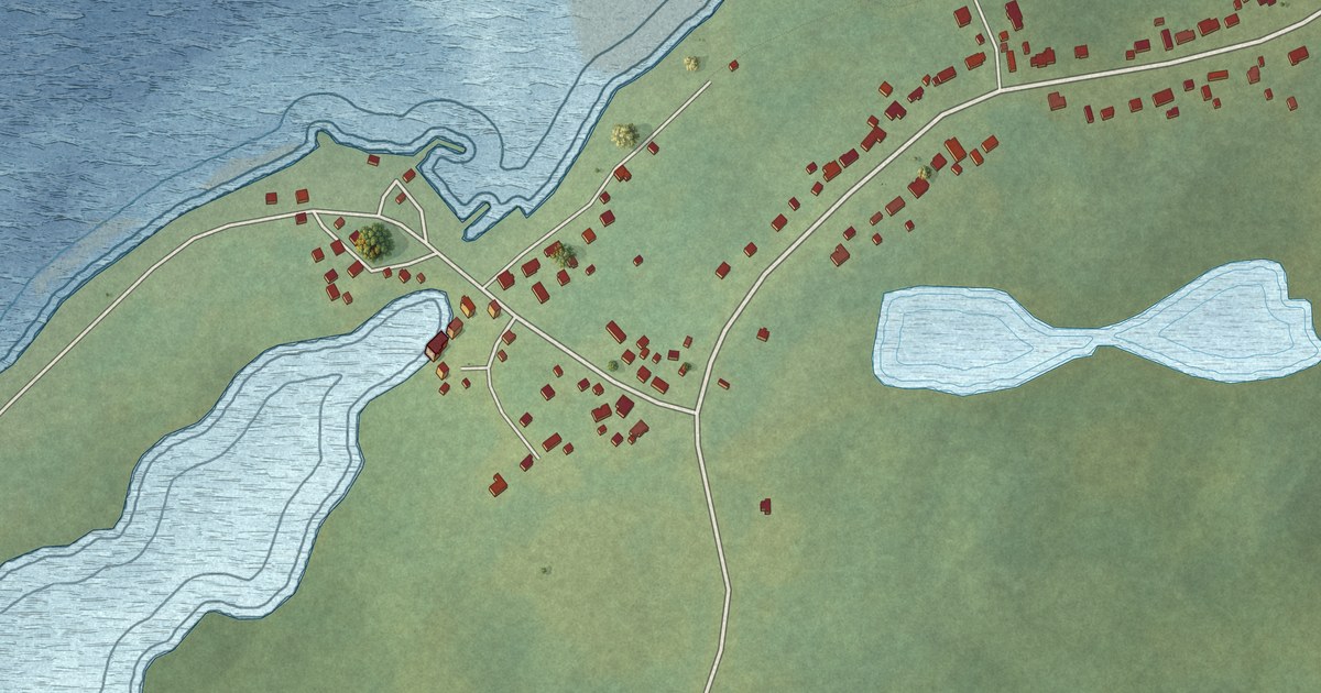
A detailed map of Black Duck Cove, Newfoundland and Labrador, showing every building in its true location, the roads by name, and shaded topographical relief.
Read More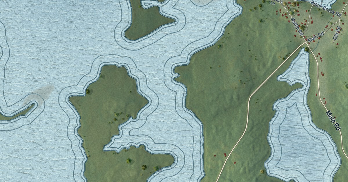
A detailed map of Bellevue, Newfoundland and Labrador, showing every building in its true location, the roads by name, and shaded topographical relief.
Read More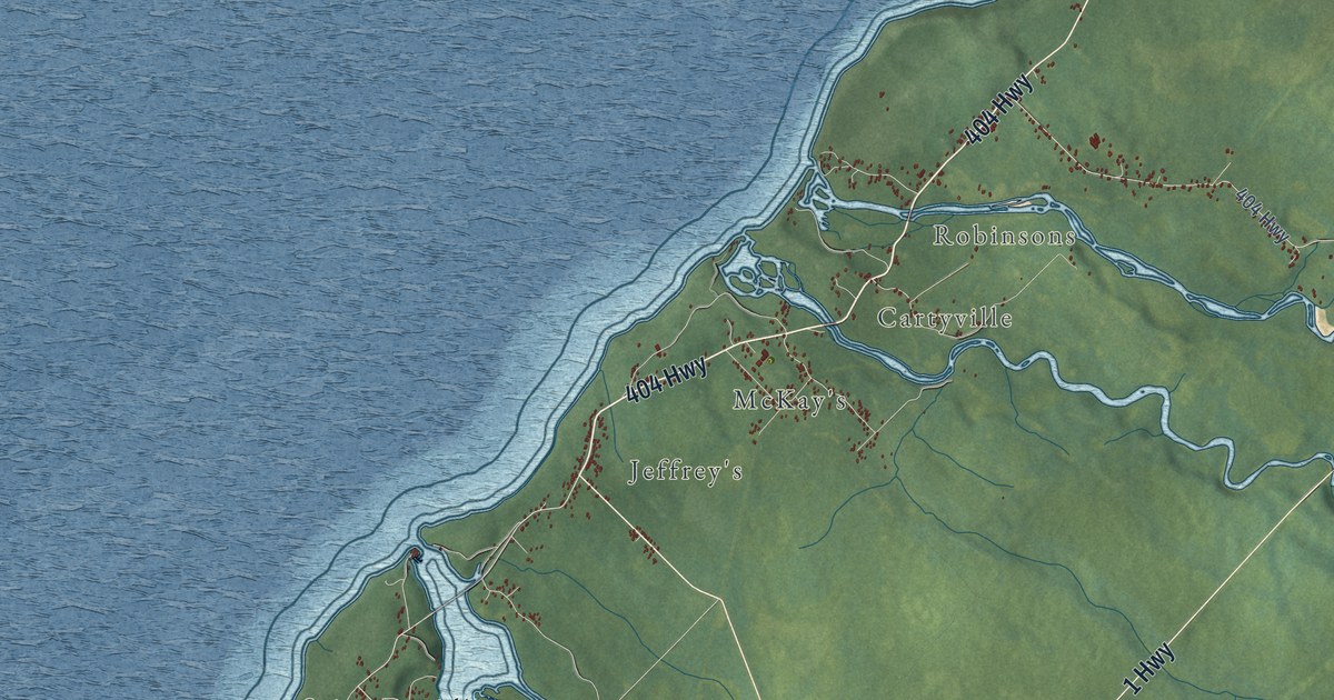
A detailed map of Bay St. George South, Newfoundland and Labrador, showing every building in its true location, the roads by name, and shaded topographical relief.
Read More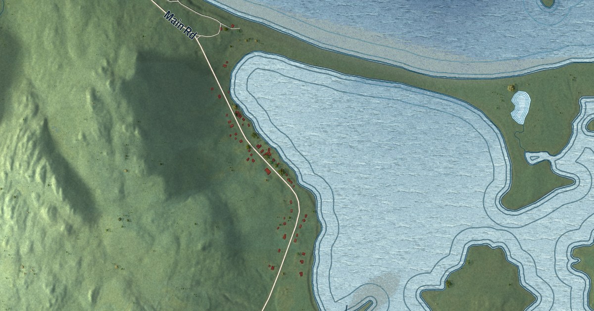
A detailed map of Bellevue Beach, Newfoundland and Labrador, showing every building in its true location, the roads by name, and shaded topographical relief.
Read More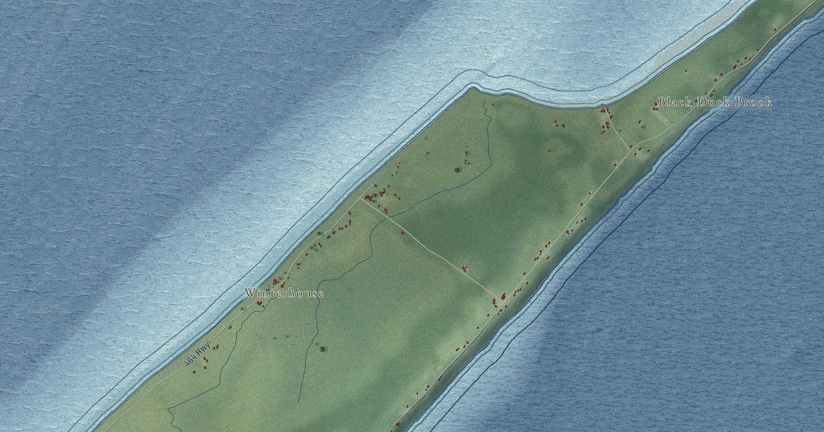
A detailed map of Black Duck Brook-Winterhouse, Newfoundland and Labrador, showing every building in its true location, the roads by name, and shaded topographical relief.
Read More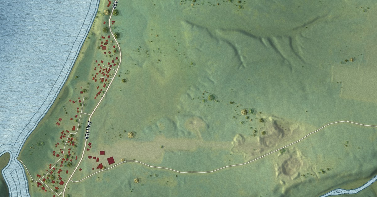
A detailed map of Barachois Brook, Newfoundland and Labrador, showing every building in its true location, the roads by name, and shaded topographical relief.
Read More
A detailed map of Aspen Cove, Newfoundland and Labrador, showing every building in its true location, the roads by name, and shaded topographical relief.
Read More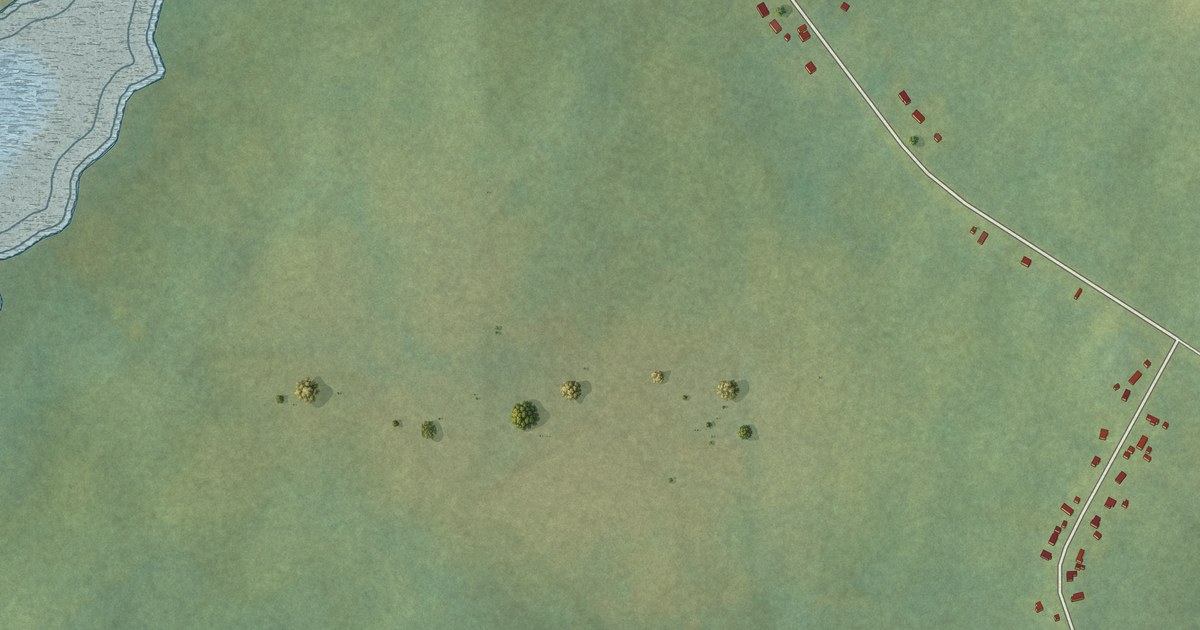
A detailed map of Bartletts Harbour, Newfoundland and Labrador, showing every building in its true location, the roads by name, and shaded topographical relief.
Read More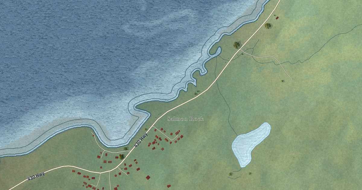
A detailed map of Bear Cove, Newfoundland and Labrador, showing every building in its true location, the roads by name, and shaded topographical relief.
Read More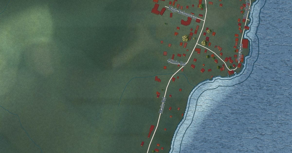
A detailed map of Woody Point, Newfoundland and Labrador, showing every building in its true location, the roads by name, and shaded topographical relief.
Read More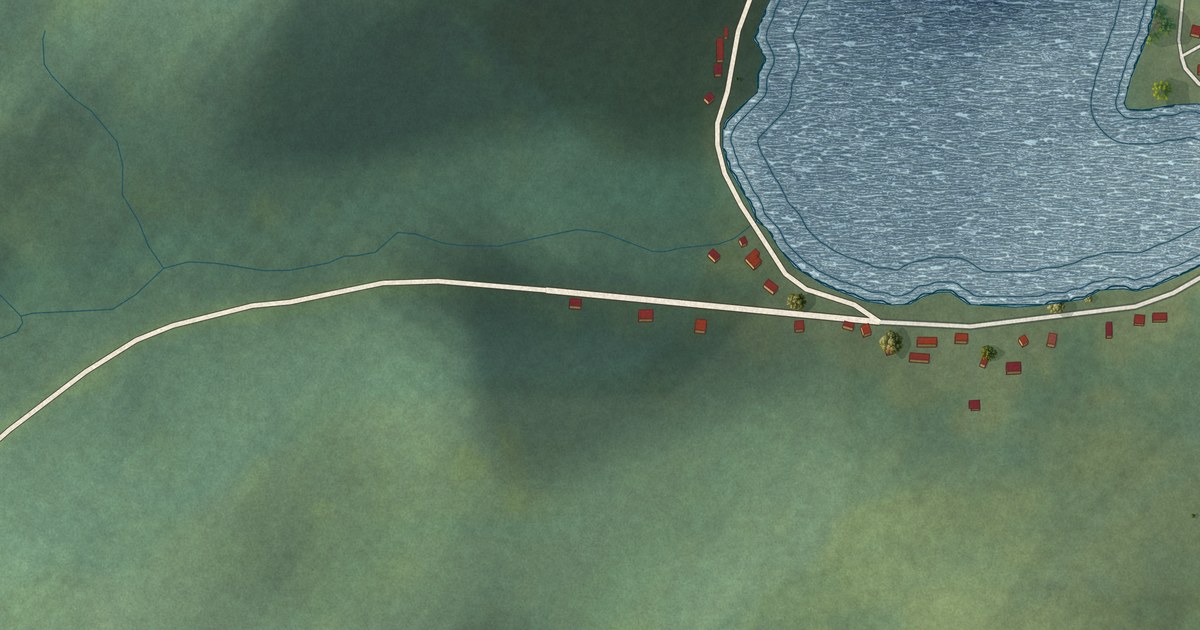
A detailed map of Woodstock, Newfoundland and Labrador, showing every building in its true location, the roads by name, and shaded topographical relief.
Read More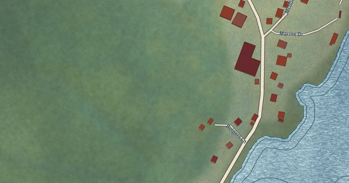
A detailed map of West St. Modeste, Newfoundland and Labrador, showing every building in its true location, the roads by name, and shaded topographical relief.
Read More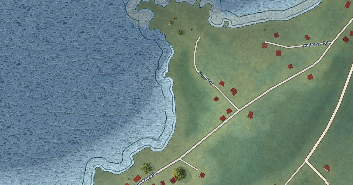
A detailed map of Westport, Newfoundland and Labrador, showing every building in its true location, the roads by name, and shaded topographical relief.
Read More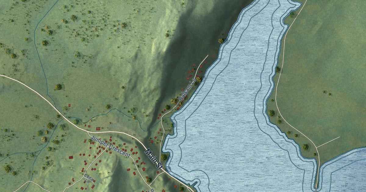
A detailed map of Traytown, Newfoundland and Labrador, showing every building in its true location, the roads by name, and shaded topographical relief.
Read More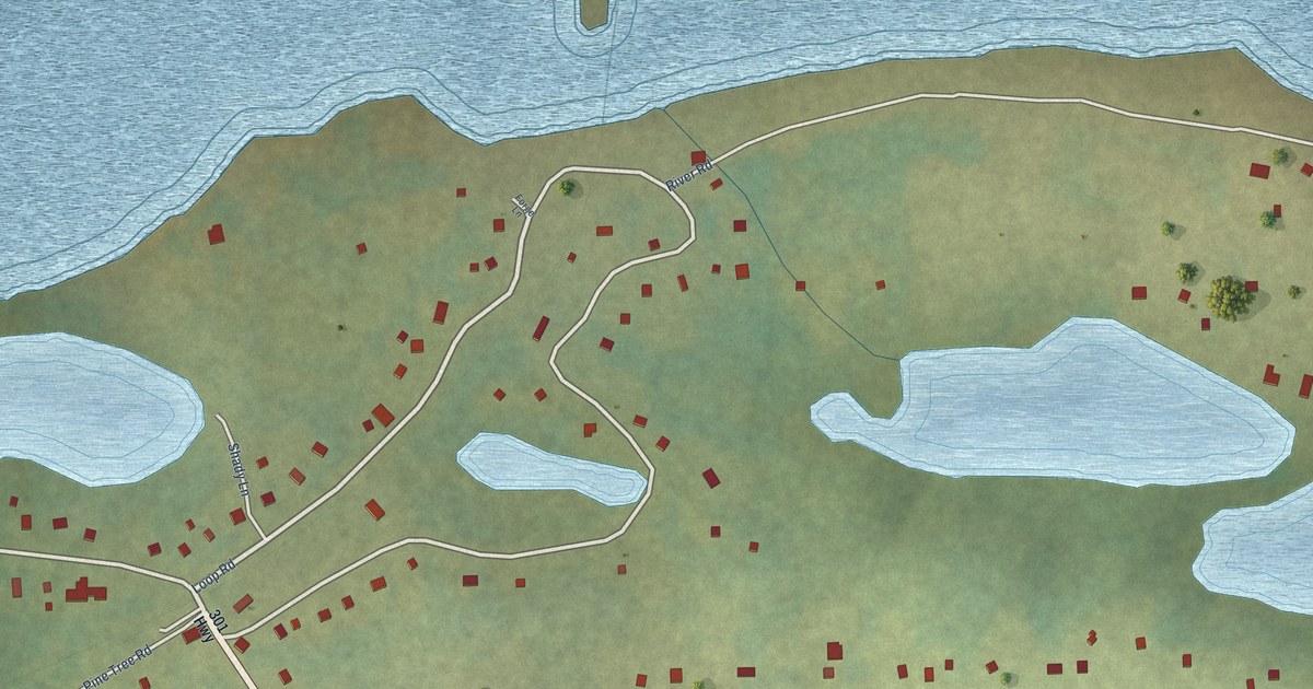
A detailed map of Terra Nova, Newfoundland and Labrador, showing every building in its true location, the roads by name, and shaded topographical relief.
Read More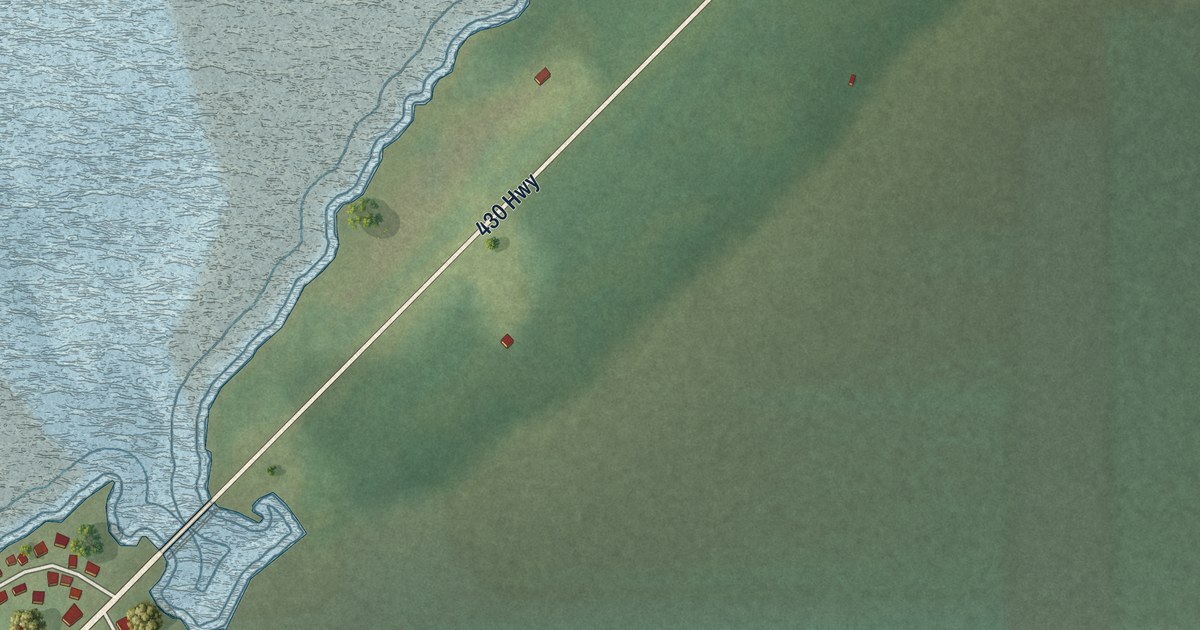
A detailed map of St. Pauls, Newfoundland and Labrador, showing every building in its true location, the roads by name, and shaded topographical relief.
Read More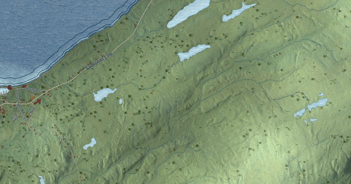
A detailed map of St. Mary’s, Newfoundland and Labrador, showing every building in its true location, the roads by name, and shaded topographical relief.
Read More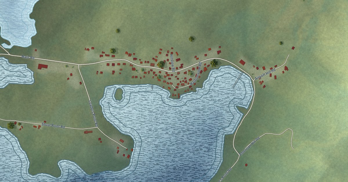
A detailed map of St. Lewis, Newfoundland and Labrador, showing every building in its true location, the roads by name, and shaded topographical relief.
Read More
A detailed map of St. Brendan’s, Newfoundland and Labrador, showing every building in its true location, the roads by name, and shaded topographical relief.
Read More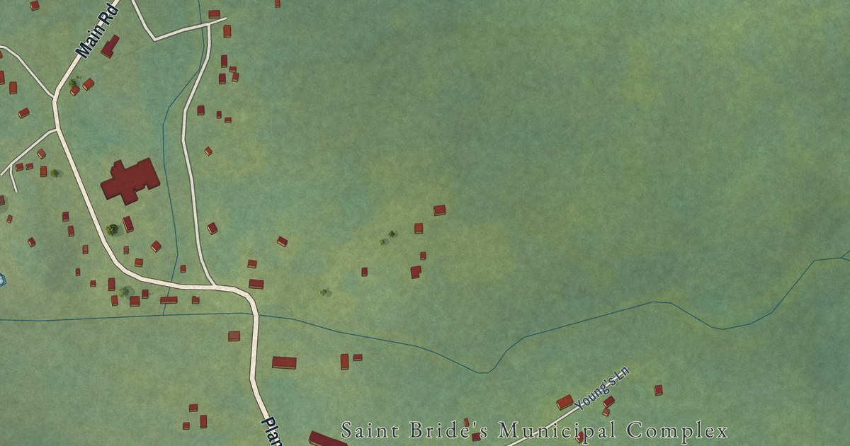
A detailed map of St. Bride’s, Newfoundland and Labrador, showing every building in its true location, the roads by name, and shaded topographical relief.
Read More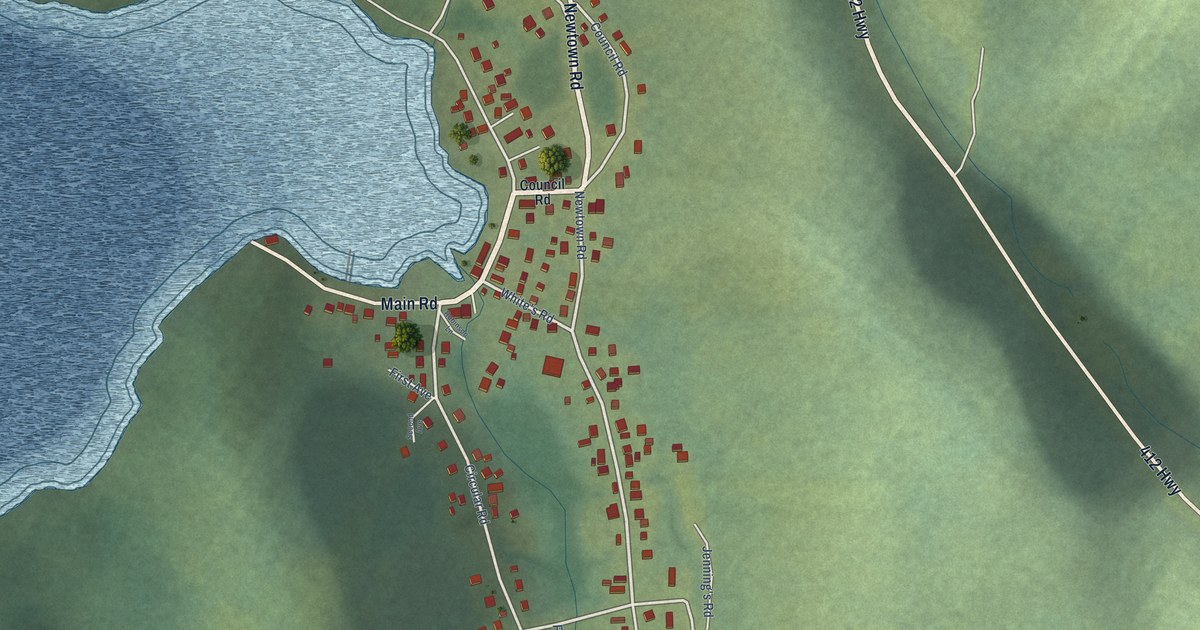
A detailed map of Seal Cove (White Bay), Newfoundland and Labrador, showing every building in its true location, the roads by name, and shaded topographical relief.
Read More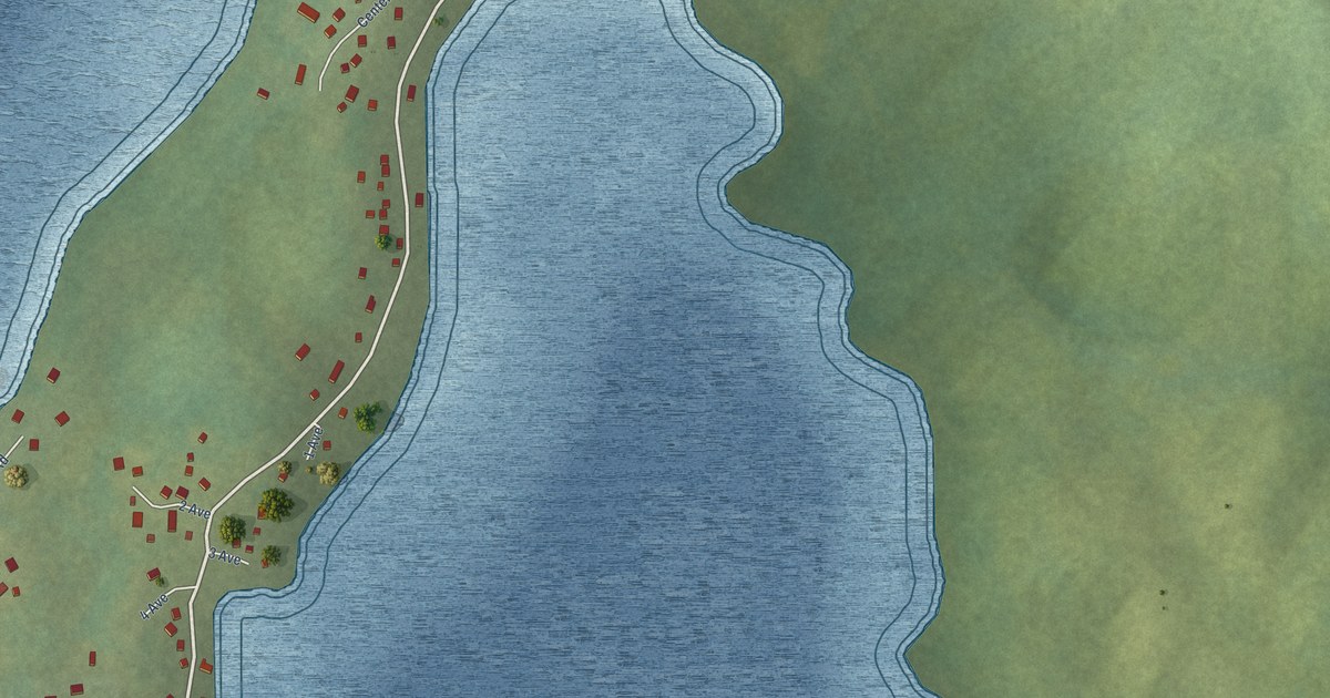
A detailed map of Southern Harbour, Newfoundland and Labrador, showing every building in its true location, the roads by name, and shaded topographical relief.
Read More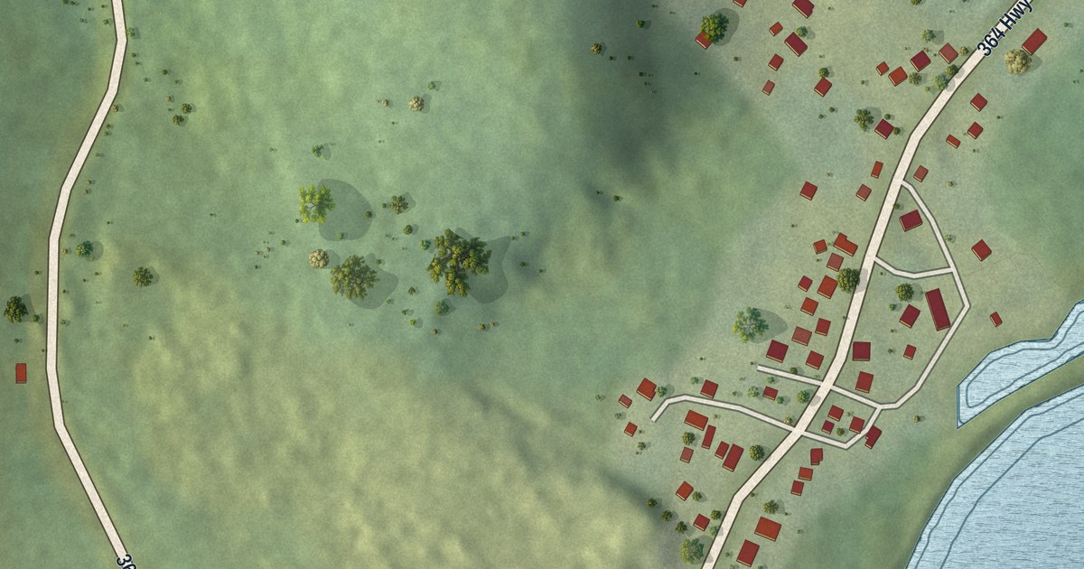
A detailed map of Seal Cove (Fortune Bay), Newfoundland and Labrador, showing every building in its true location, the roads by name, and shaded topographical relief.
Read More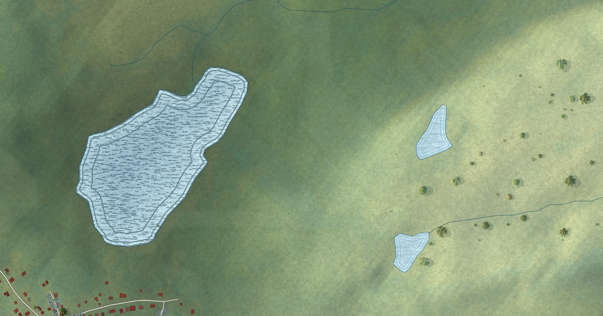
A detailed map of Sandy Cove, Newfoundland and Labrador, showing every building in its true location, the roads by name, and shaded topographical relief.
Read More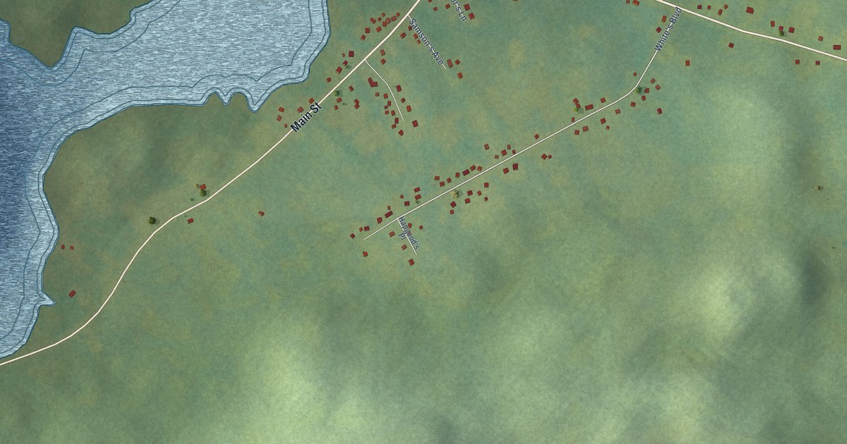
A detailed map of Sandringham, Newfoundland and Labrador, showing every building in its true location, the roads by name, and shaded topographical relief.
Read More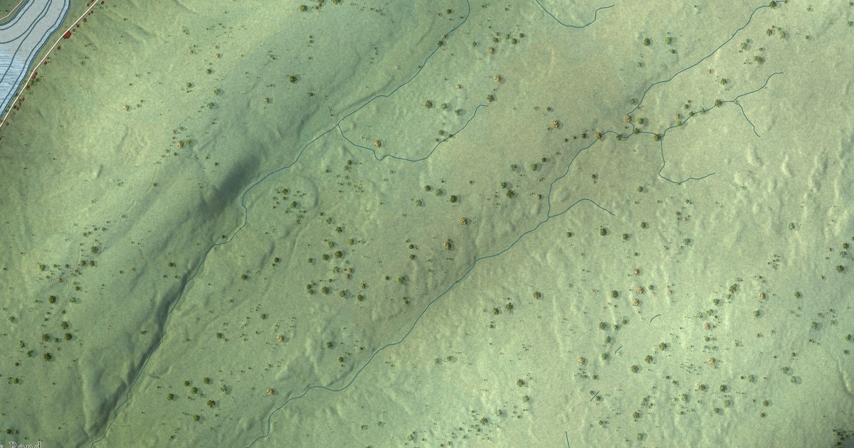
A detailed map of Riverhead, Newfoundland and Labrador, showing every building in its true location, the roads by name, and shaded topographical relief.
Read More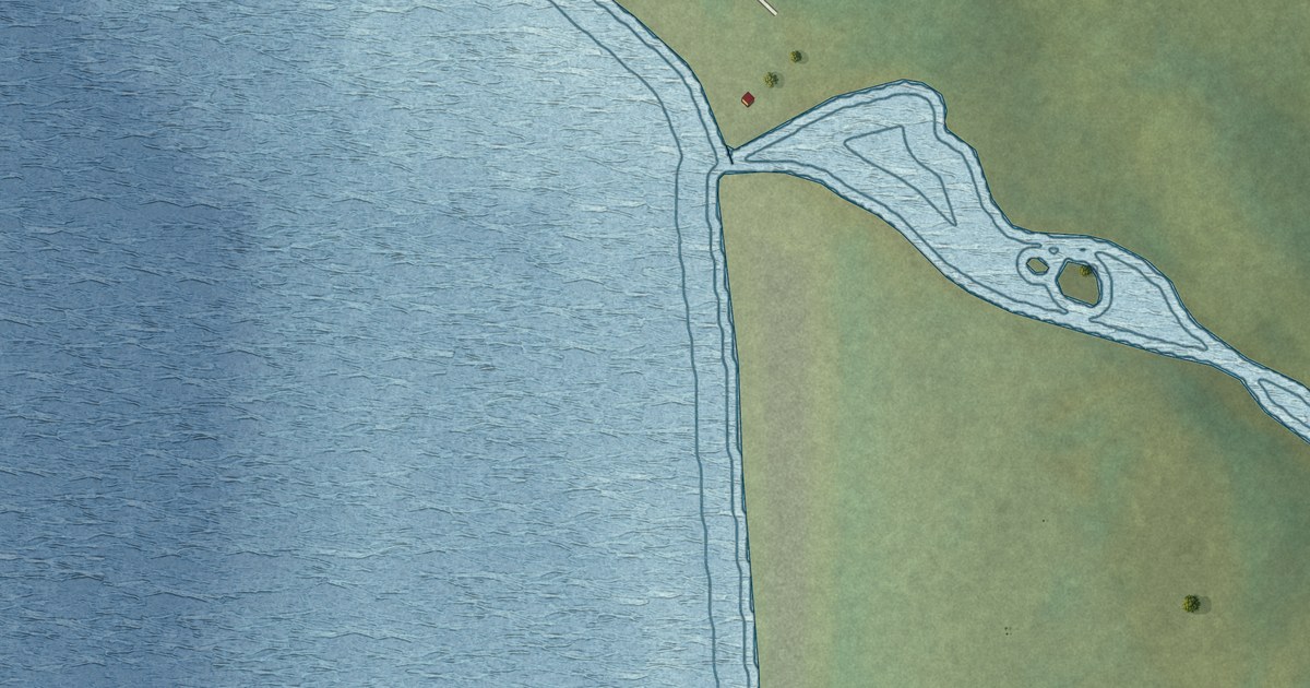
A detailed map of River of Ponds, Newfoundland and Labrador, showing every building in its true location, the roads by name, and shaded topographical relief.
Read More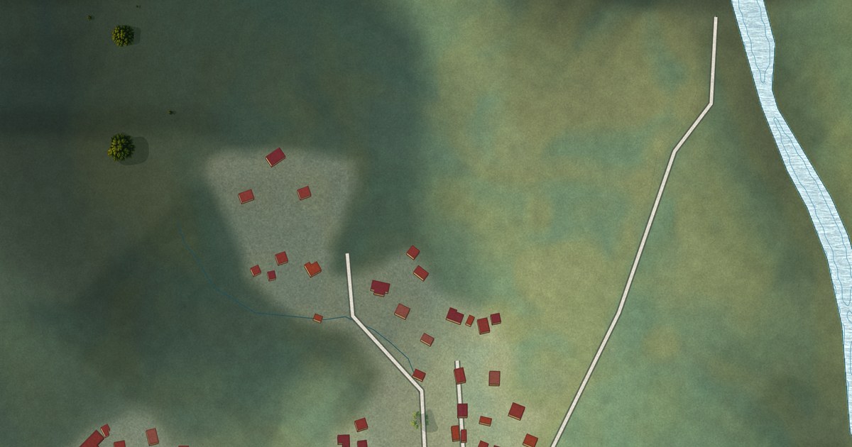
A detailed map of Rencontre East, Newfoundland and Labrador, showing every building in its true location, the roads by name, and shaded topographical relief.
Read More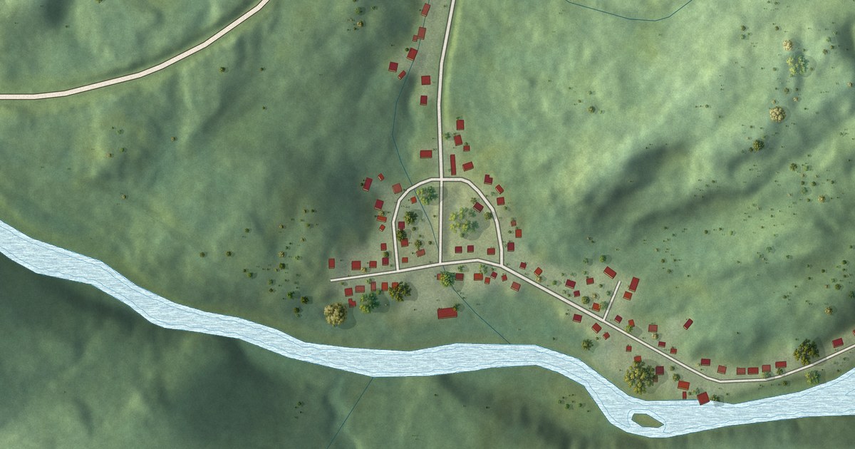
A detailed map of Red Harbour, Newfoundland and Labrador, showing every building in its true location, the roads by name, and shaded topographical relief.
Read More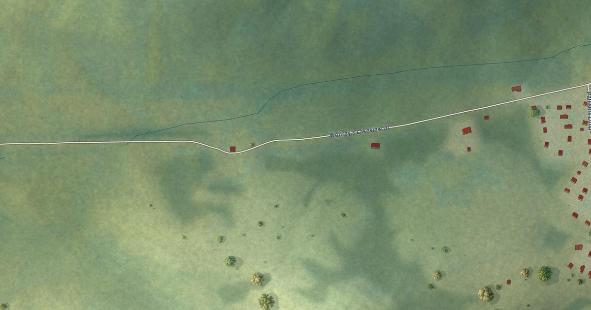
A detailed map of Rigolet, Newfoundland and Labrador, showing every building in its true location, the roads by name, and shaded topographical relief.
Read More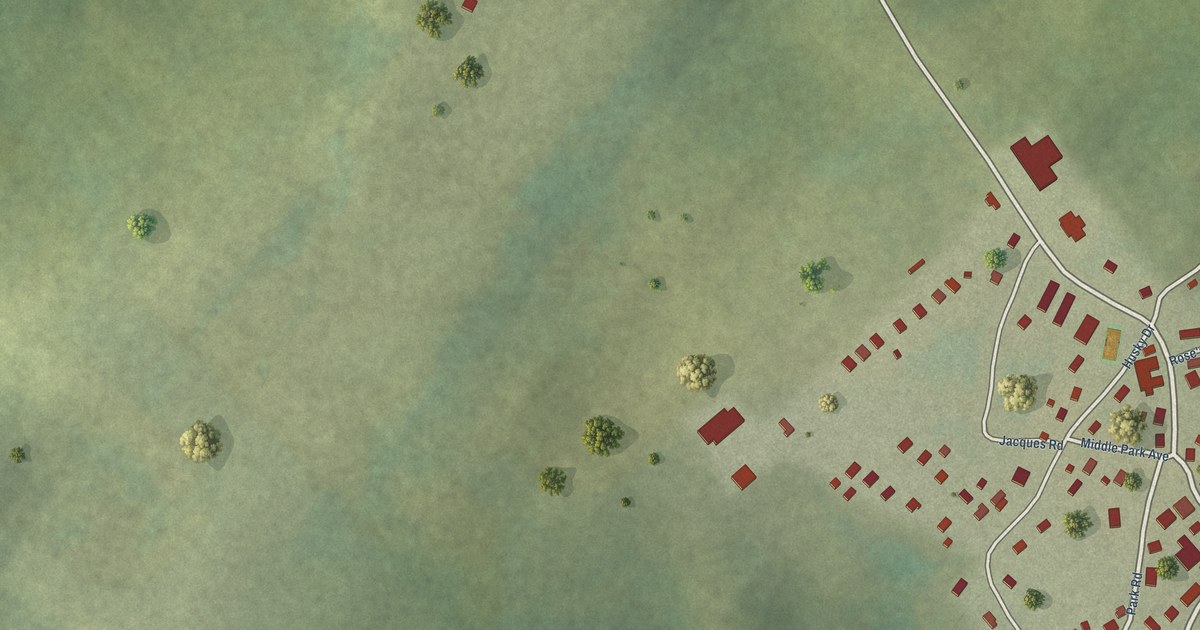
A detailed map of Postville, Newfoundland and Labrador, showing every building in its true location, the roads by name, and shaded topographical relief.
Read More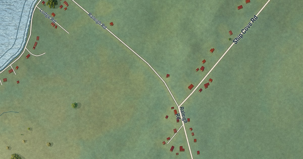
A detailed map of Raleigh, Newfoundland and Labrador, showing every building in its true location, the roads by name, and shaded topographical relief.
Read More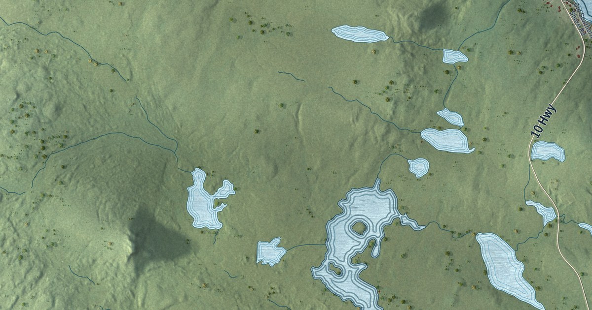
A detailed map of Renews-Cappahayden, Newfoundland and Labrador, showing every building in its true location, the roads by name, and shaded topographical relief.
Read More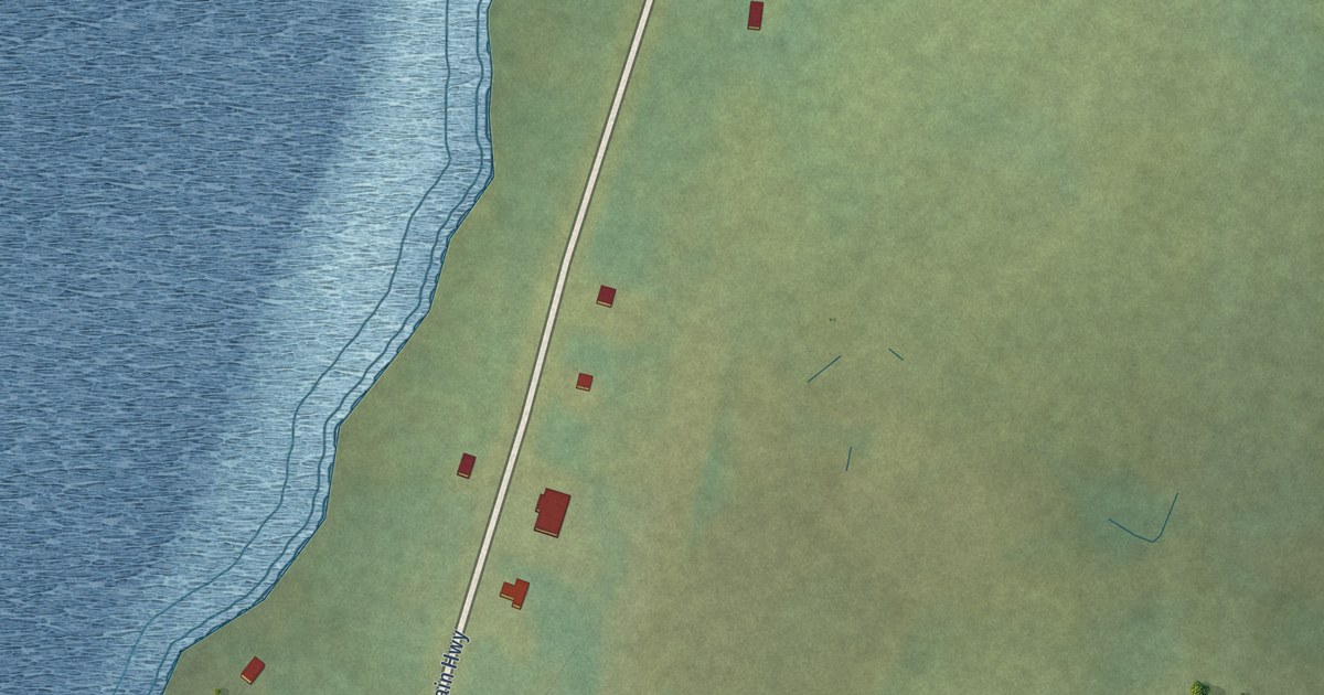
A detailed map of Red Bay, Newfoundland and Labrador, showing every building in its true location, the roads by name, and shaded topographical relief.
Read More
A detailed map of Point of Bay, Newfoundland and Labrador, showing every building in its true location, the roads by name, and shaded topographical relief.
Read More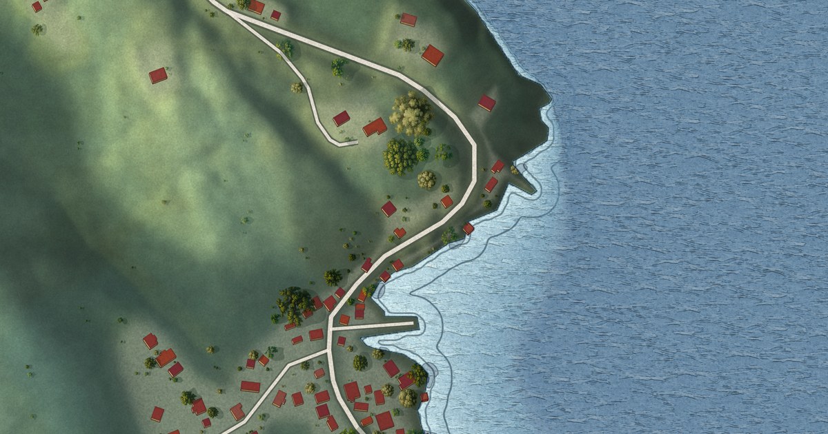
A detailed map of Pool’s Cove, Newfoundland and Labrador, showing every building in its true location, the roads by name, and shaded topographical relief.
Read More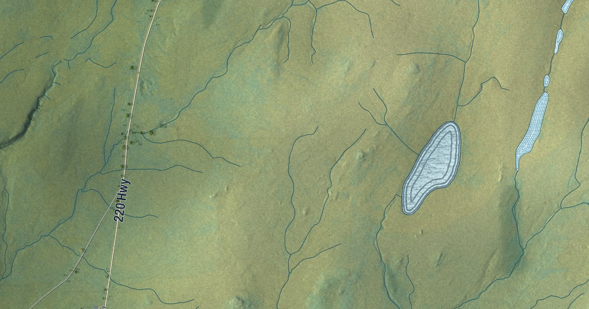
A detailed map of Point May, Newfoundland and Labrador, showing every building in its true location, the roads by name, and shaded topographical relief.
Read More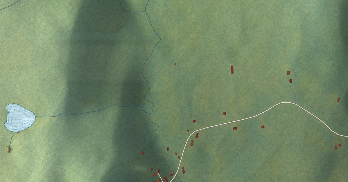
A detailed map of Point Lance, Newfoundland and Labrador, showing every building in its true location, the roads by name, and shaded topographical relief.
Read More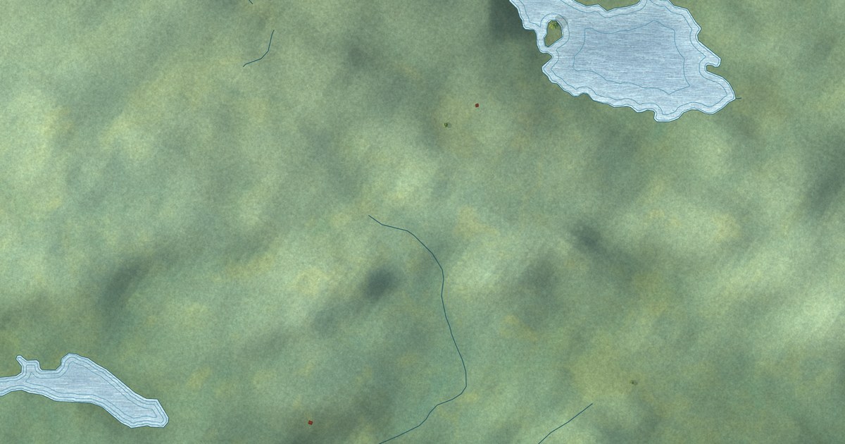
A detailed map of Pilley’s Island, Newfoundland and Labrador, showing every building in its true location, the roads by name, and shaded topographical relief.
Read More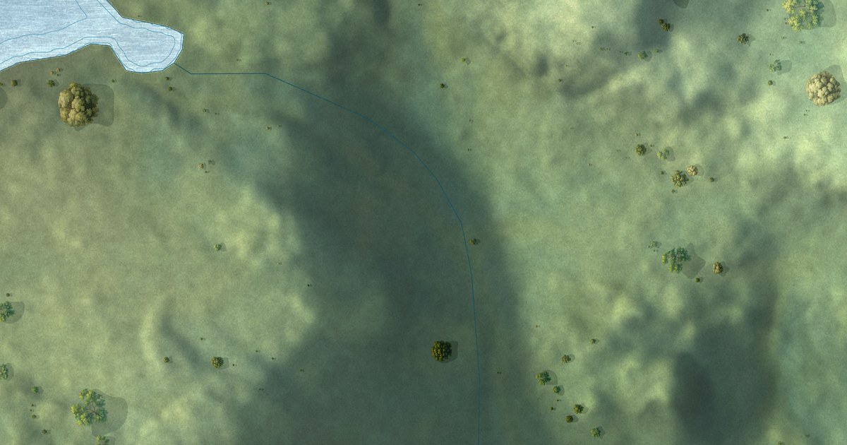
A detailed map of Parkers Cove, Newfoundland and Labrador, showing every building in its true location, the roads by name, and shaded topographical relief.
Read More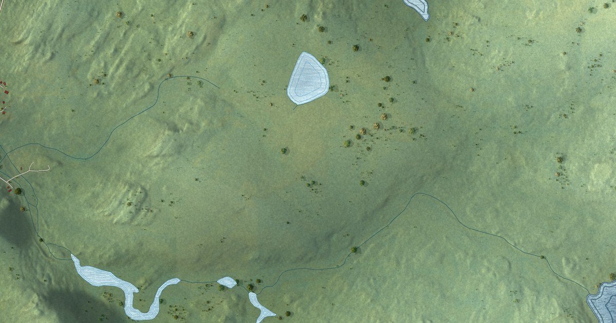
A detailed map of New Perlican, Newfoundland and Labrador, showing every building in its true location, the roads by name, and shaded topographical relief.
Read More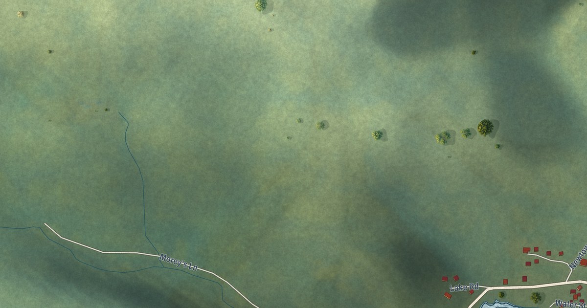
A detailed map of Pacquet, Newfoundland and Labrador, showing every building in its true location, the roads by name, and shaded topographical relief.
Read More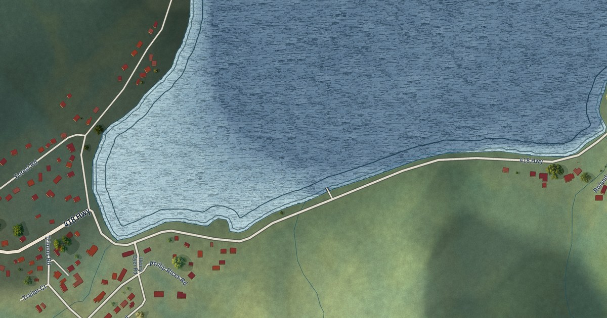
A detailed map of Ming’s Bight, Newfoundland and Labrador, showing every building in its true location, the roads by name, and shaded topographical relief.
Read More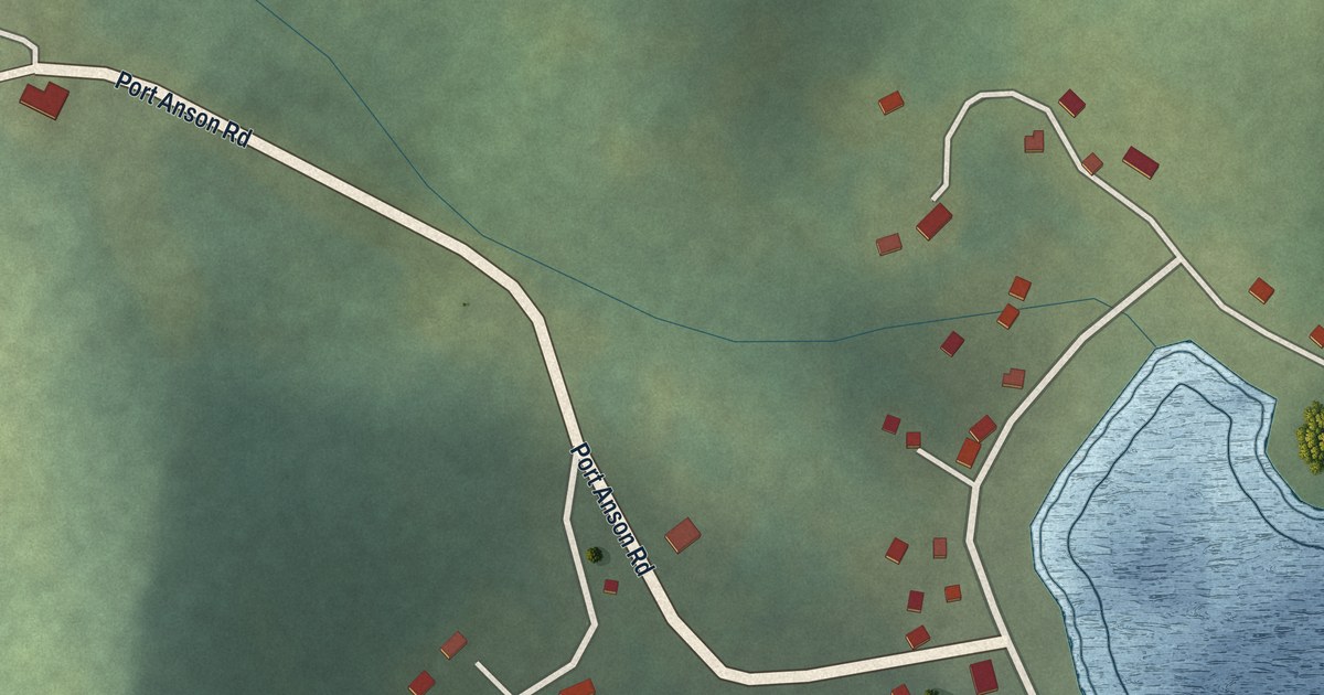
A detailed map of Miles Cove, Newfoundland and Labrador, showing every building in its true location, the roads by name, and shaded topographical relief.
Read More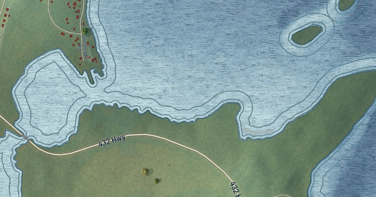
A detailed map of Main Brook, Newfoundland and Labrador, showing every building in its true location, the roads by name, and shaded topographical relief.
Read More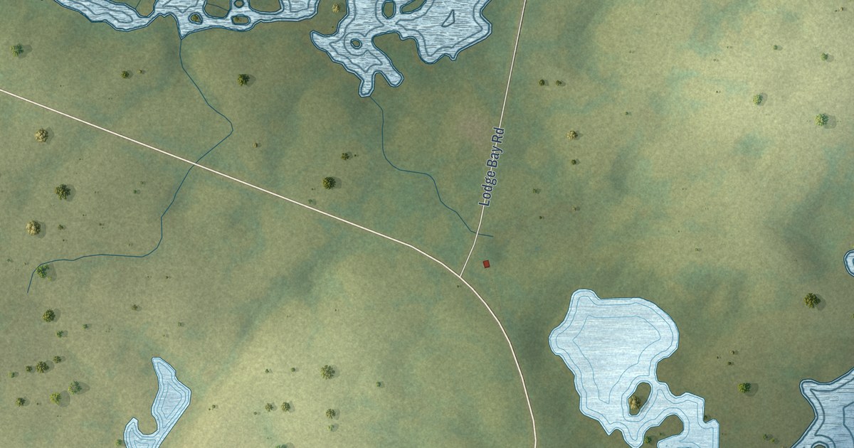
A detailed map of Mary’s Harbour, Newfoundland and Labrador, showing every building in its true location, the roads by name, and shaded topographical relief.
Read More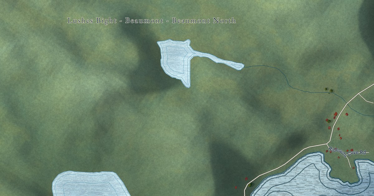
A detailed map of Lushes Bight-Beaumont-Beaumont North, Newfoundland and Labrador, showing every building in its true location, the roads by name, and shaded topographical relief.
Read More