Detailed Map of Zela, West Virginia
A detailed map of Zela, West Virginia, showing every building in its true location, the roads by name, and shaded topographical relief.

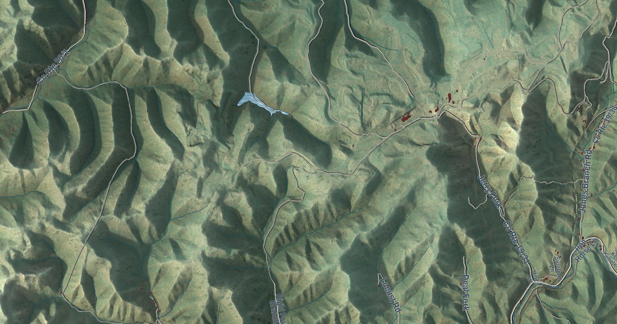
A detailed map of Zela, West Virginia, showing every building in its true location, the roads by name, and shaded topographical relief.
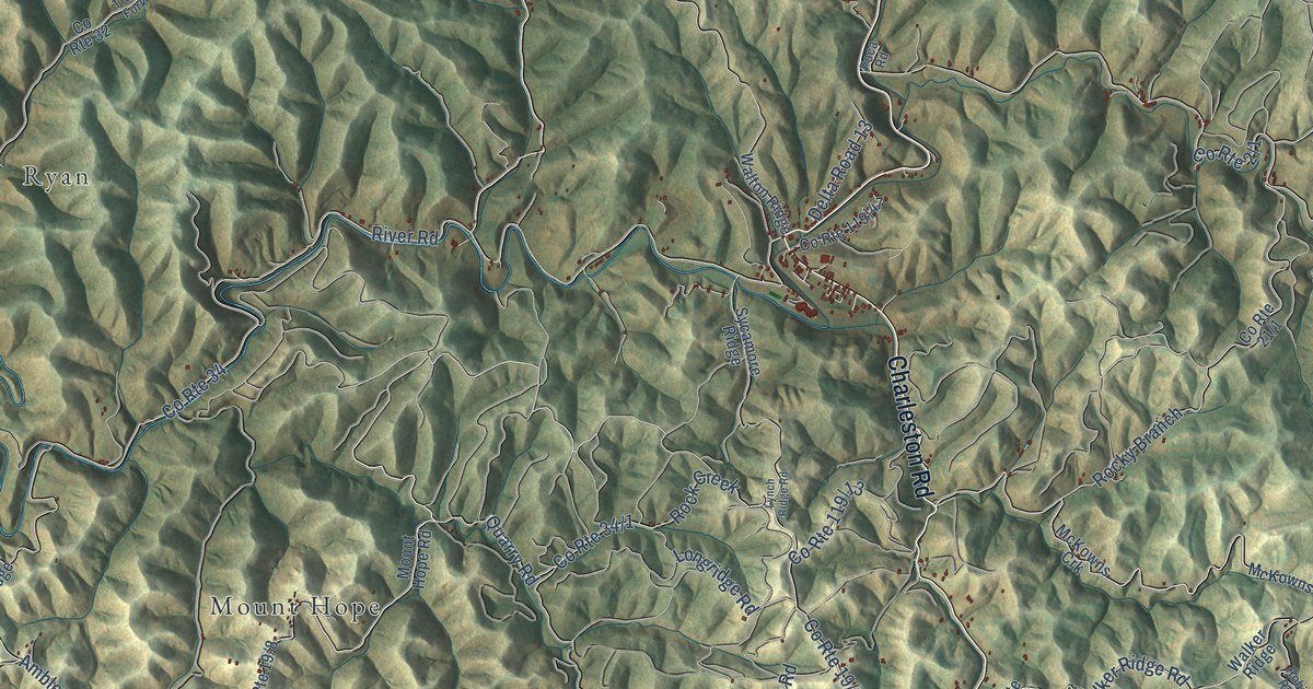
A detailed map of Walton, West Virginia, showing every building in its true location, the roads by name, and shaded topographical relief.
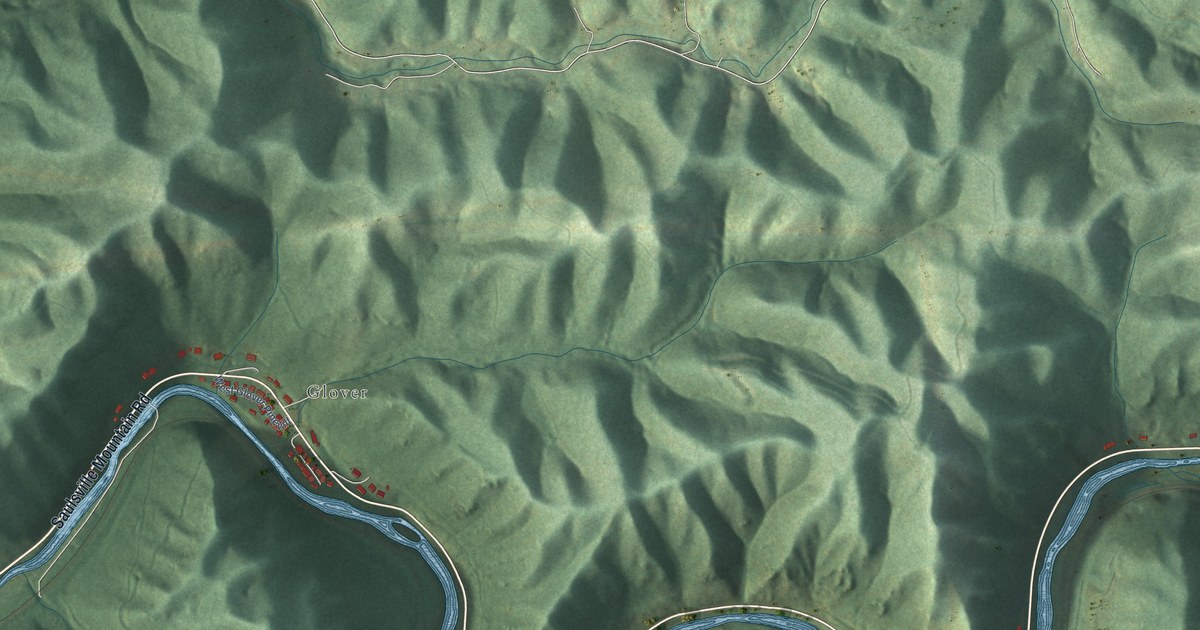
A detailed map of Wyoming, West Virginia, showing every building in its true location, the roads by name, and shaded topographical relief.
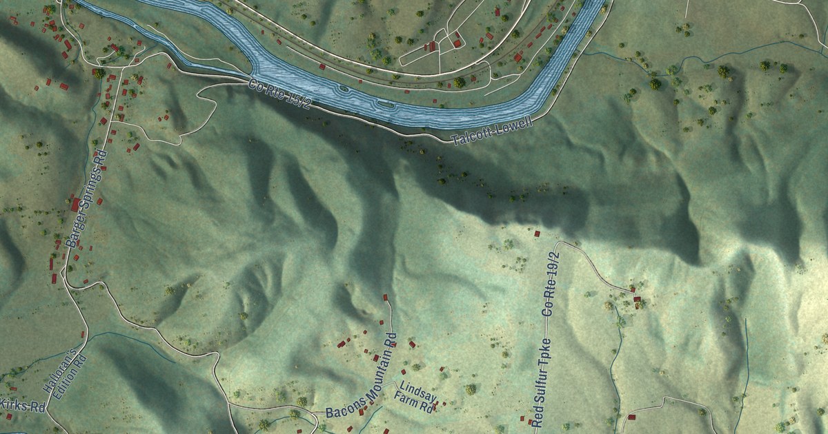
A detailed map of Talcott, West Virginia, showing every building in its true location, the roads by name, and shaded topographical relief.
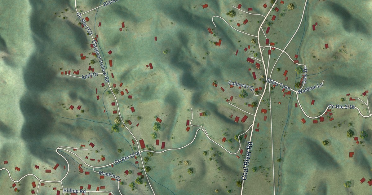
A detailed map of Trap Hill, West Virginia, showing every building in its true location, the roads by name, and shaded topographical relief.
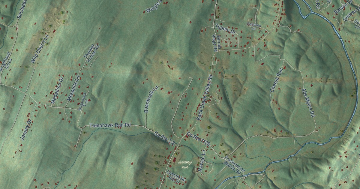
A detailed map of Tomahawk, West Virginia, showing every building in its true location, the roads by name, and shaded topographical relief.
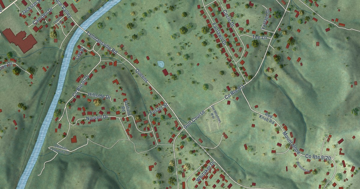
A detailed map of Tennerton, West Virginia, showing every building in its true location, the roads by name, and shaded topographical relief.
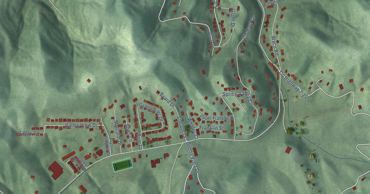
A detailed map of Spring Valley, West Virginia, showing every building in its true location, the roads by name, and shaded topographical relief.
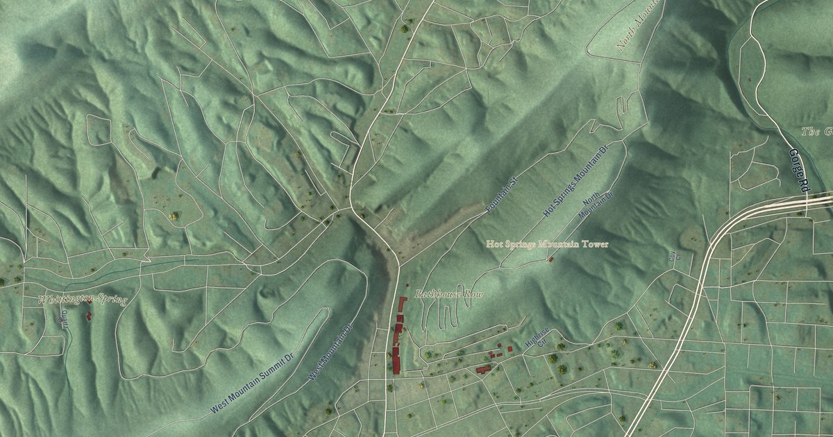
A detailed map of Hot Springs National Park, from Bathhouse Row and Hot Springs Mountain to North Mountain and Sugarloaf Mountain, with shaded relief and the streets of the city around it.
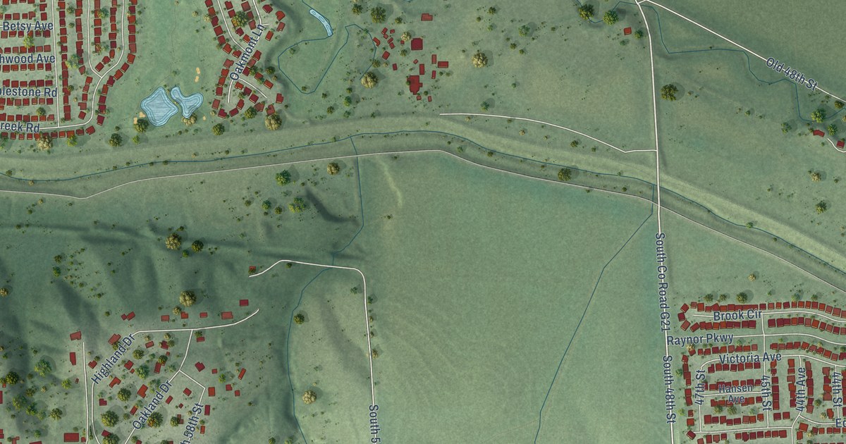
A detailed map of Rumsey, Nebraska, showing every building in its true location, the roads by name, and shaded topographical relief.
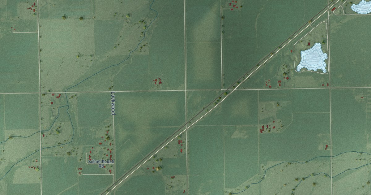
A detailed map of Lockwood, Nebraska, showing every building in its true location, the roads by name, and shaded topographical relief.
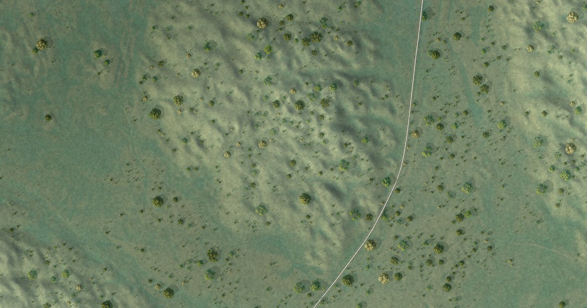
A detailed map of Simeon, Nebraska, showing every building in its true location, the roads by name, and shaded topographical relief.
