Detailed Map of Maxwell Park, California
A detailed map of Maxwell Park, California, showing every building in its true location, the roads by name, and shaded topographical relief.

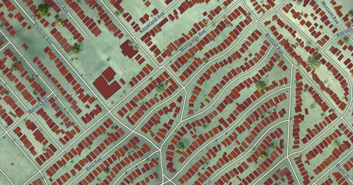
A detailed map of Maxwell Park, California, showing every building in its true location, the roads by name, and shaded topographical relief.
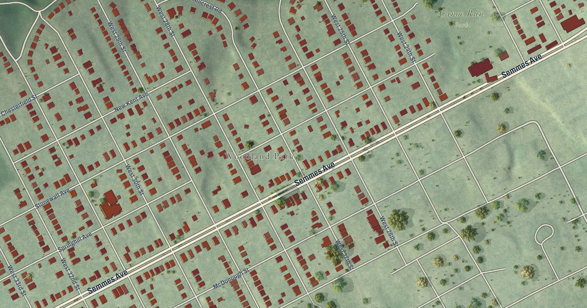
A detailed map of Woodland Heights, Virginia, showing every building in its true location, the roads by name, and shaded topographical relief.
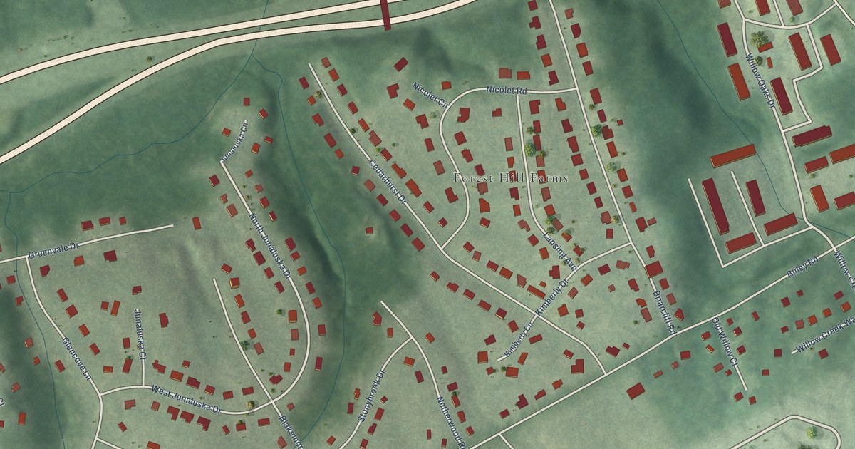
A detailed map of Westlake Hills, Virginia, showing every building in its true location, the roads by name, and shaded topographical relief.
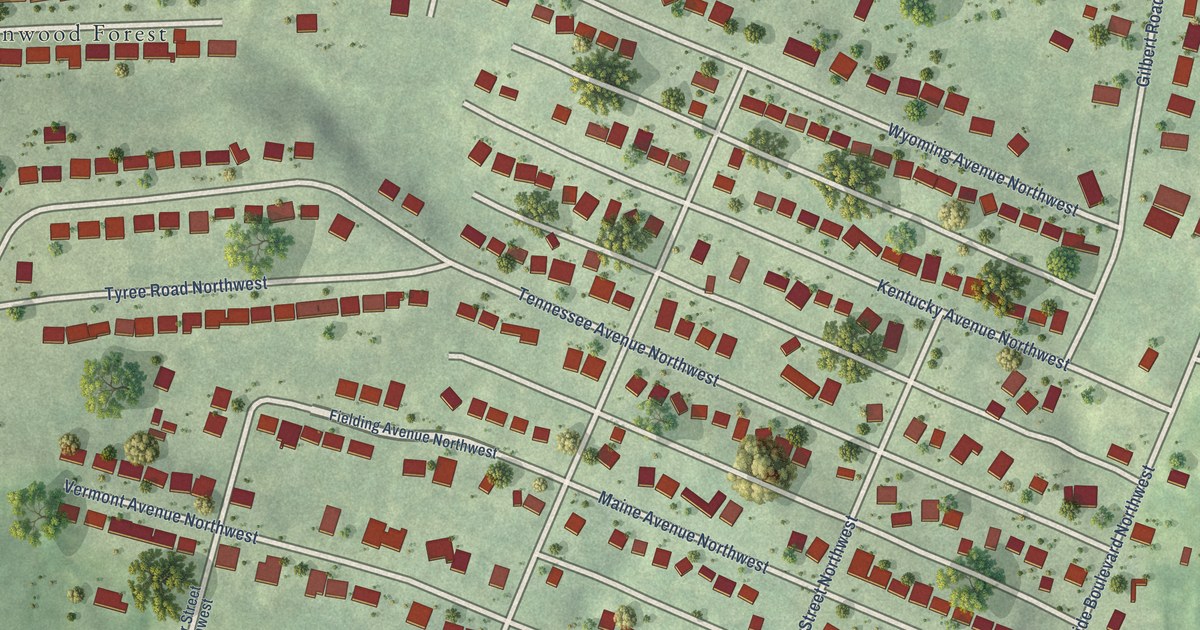
A detailed map of Washington Heights, Virginia, showing every building in its true location, the roads by name, and shaded topographical relief.
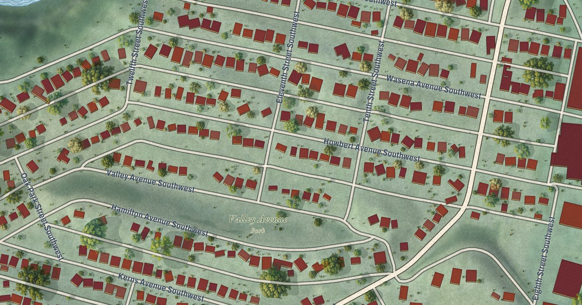
A detailed map of Wasena, Virginia, showing every building in its true location, the roads by name, and shaded topographical relief.
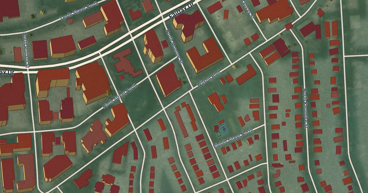
A detailed map of Virginia Square, Virginia, showing every building in its true location, the roads by name, and shaded topographical relief.
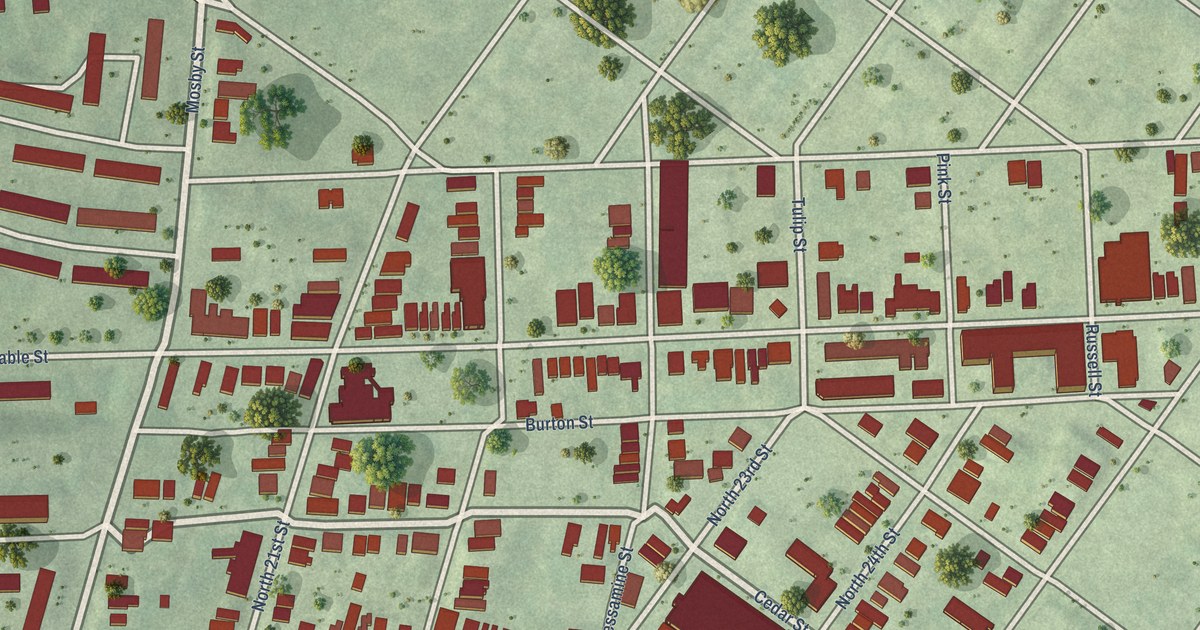
A detailed map of Union Hill, Virginia, showing every building in its true location, the roads by name, and shaded topographical relief.
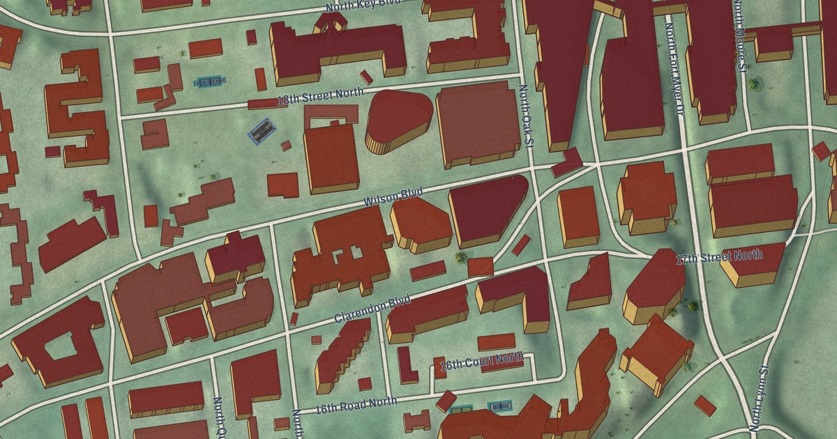
A detailed map of Rosslyn, Virginia, showing every building in its true location, the roads by name, and shaded topographical relief.
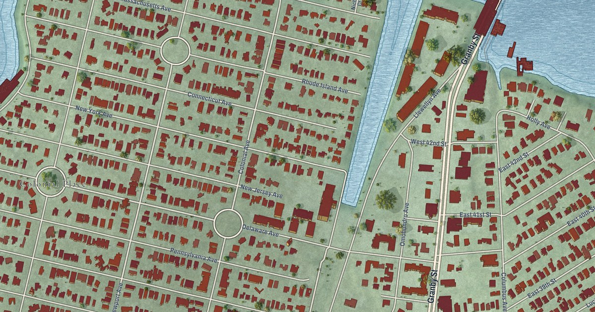
A detailed map of Riverview, Virginia, showing every building in its true location, the roads by name, and shaded topographical relief.
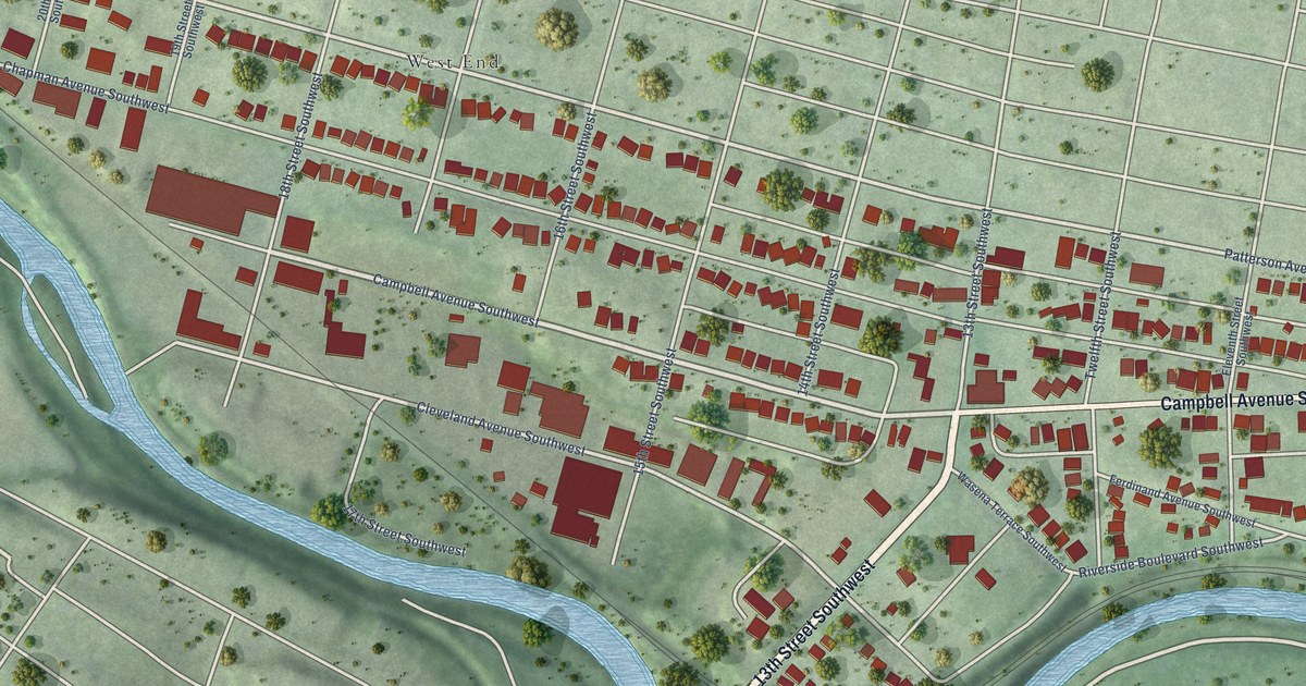
A detailed map of Mountain View, Virginia, showing every building in its true location, the roads by name, and shaded topographical relief.
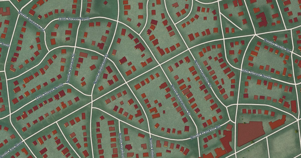
A detailed map of Lyon Village, Virginia, showing every building in its true location, the roads by name, and shaded topographical relief.
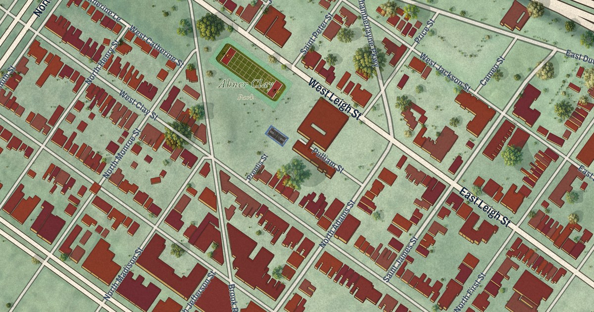
A detailed map of Jackson Ward, Virginia, showing every building in its true location, the roads by name, and shaded topographical relief.
