Detailed Map of Woolwich, Ontario
A detailed map of Woolwich, Ontario, showing every building in its true location, the roads by name, and shaded topographical relief.

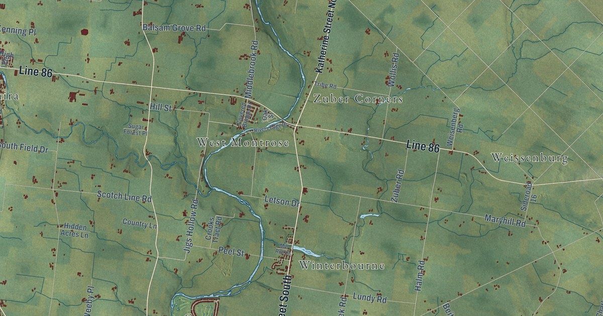
A detailed map of Woolwich, Ontario, showing every building in its true location, the roads by name, and shaded topographical relief.
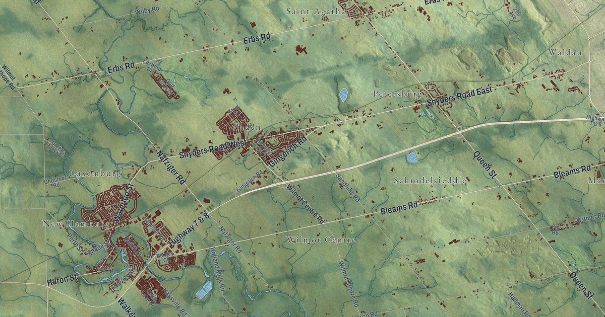
A detailed map of Wilmot, Ontario, showing every building in its true location, the roads by name, and shaded topographical relief.
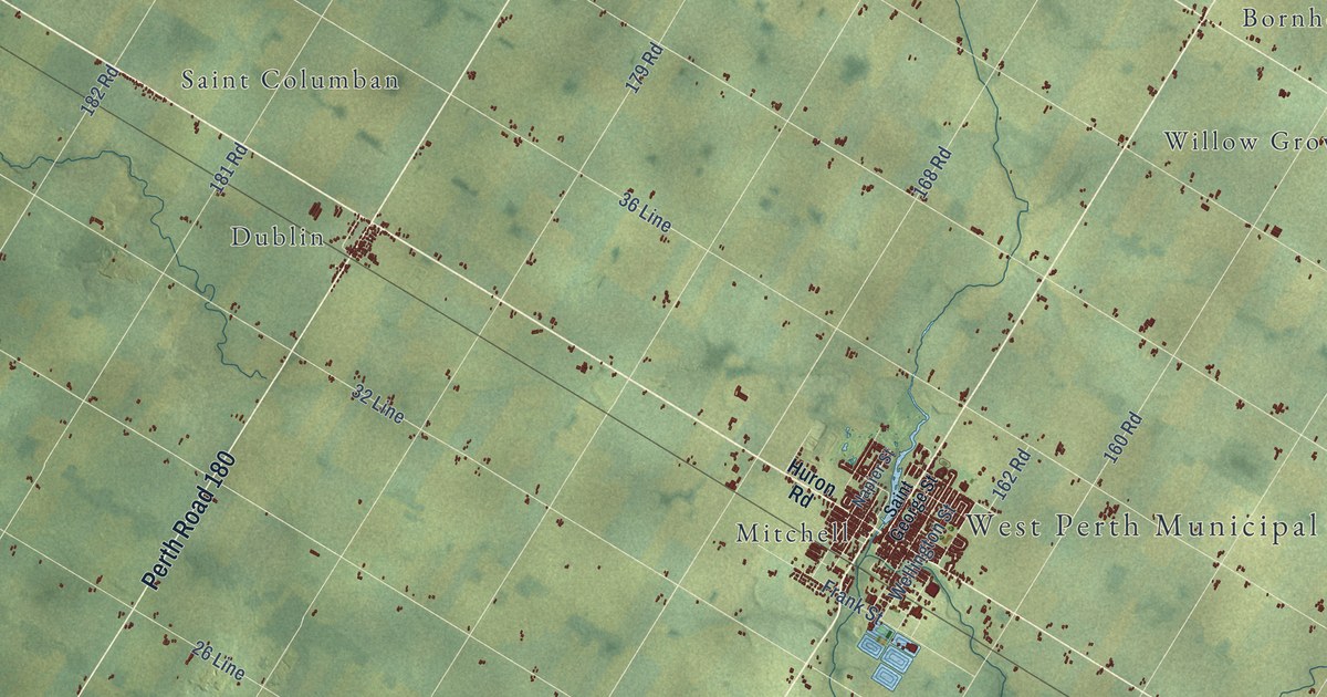
A detailed map of West Perth, Ontario, showing every building in its true location, the roads by name, and shaded topographical relief.
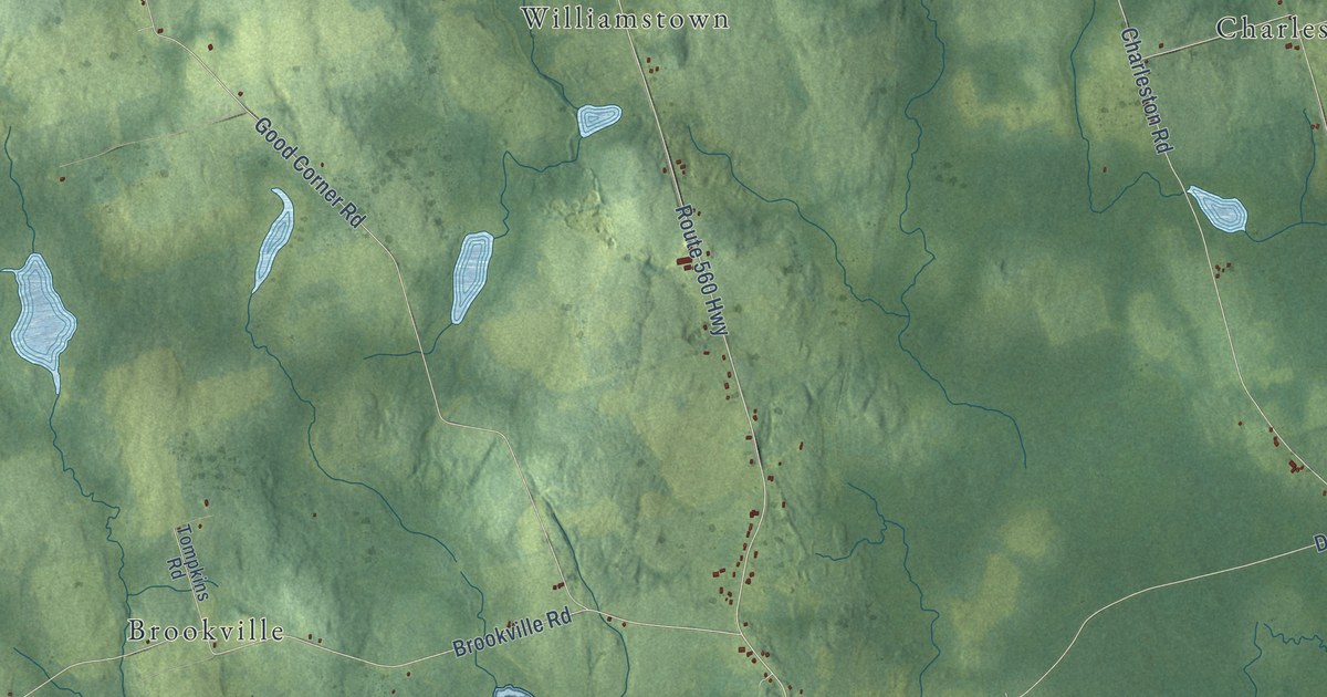
A detailed map of Wilmot Parish, New Brunswick, showing every building in its true location, the roads by name, and shaded topographical relief.
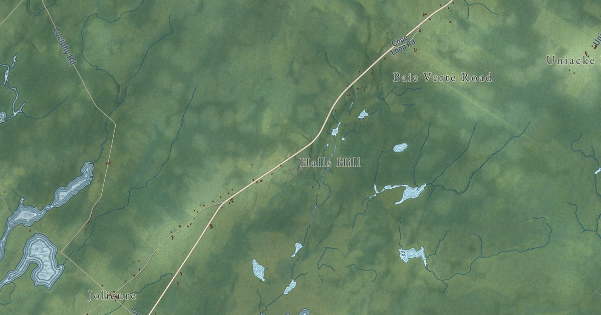
A detailed map of Westmorland Parish, New Brunswick, showing every building in its true location, the roads by name, and shaded topographical relief.
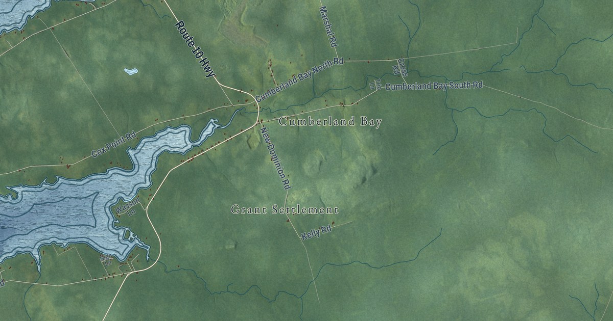
A detailed map of Waterborough Parish, New Brunswick, showing every building in its true location, the roads by name, and shaded topographical relief.
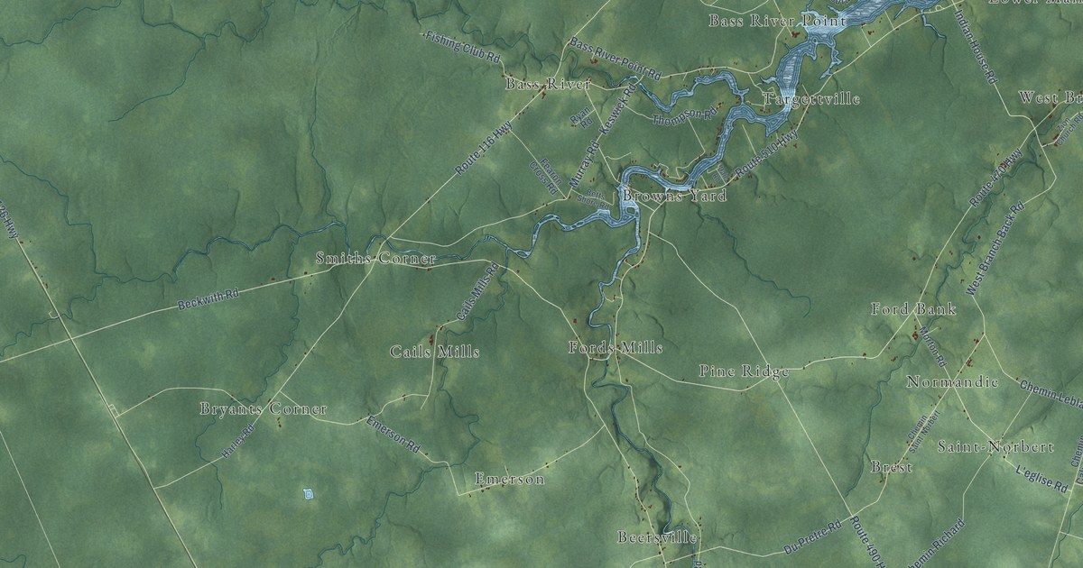
A detailed map of Weldford Parish, New Brunswick, showing every building in its true location, the roads by name, and shaded topographical relief.
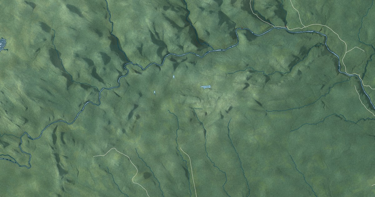
A detailed map of Stanley Parish, New Brunswick, showing every building in its true location, the roads by name, and shaded topographical relief.
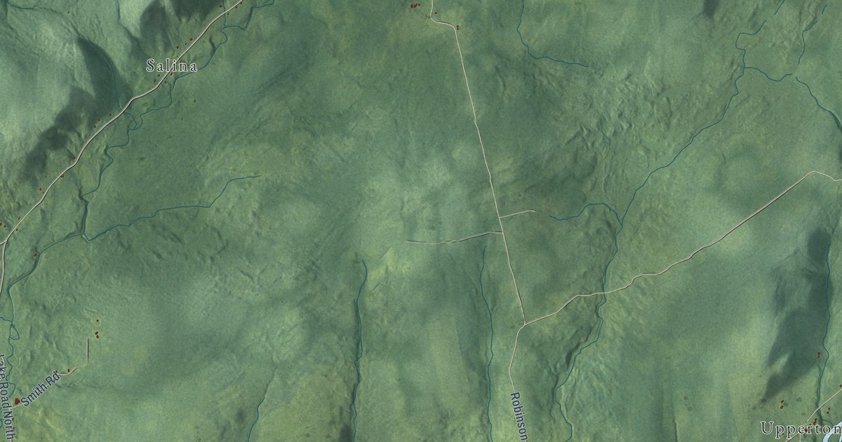
A detailed map of Upham Parish, New Brunswick, showing every building in its true location, the roads by name, and shaded topographical relief.
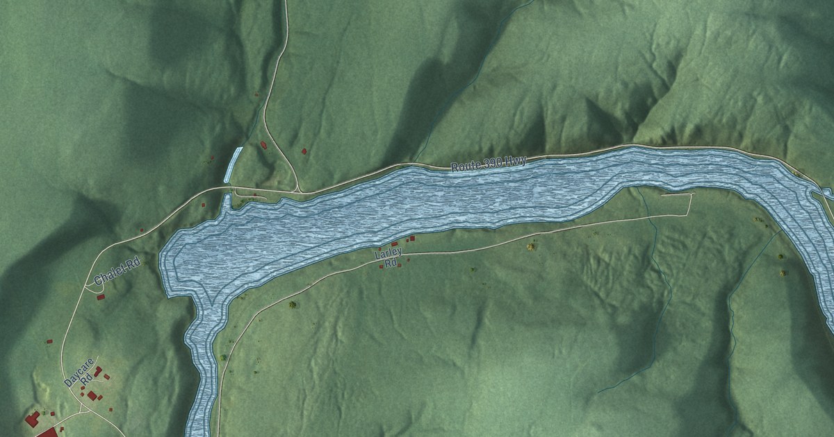
A detailed map of Tobique, New Brunswick, showing every building in its true location, the roads by name, and shaded topographical relief.
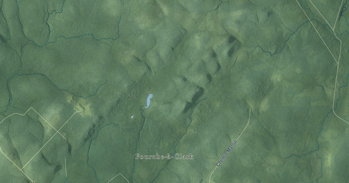
A detailed map of Sainte-Anne Parish, New Brunswick, showing every building in its true location, the roads by name, and shaded topographical relief.
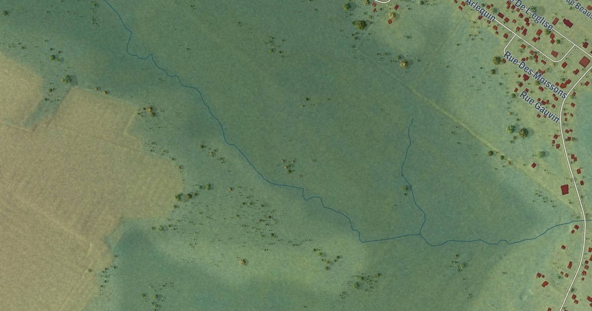
A detailed map of Sainte-Marie-Saint-Raphaël, New Brunswick, showing every building in its true location, the roads by name, and shaded topographical relief.
