Detailed Map of Woodstock, Ontario
A detailed map of Woodstock, Ontario, showing every building in its true location, the roads by name, and shaded topographical relief.
Read More
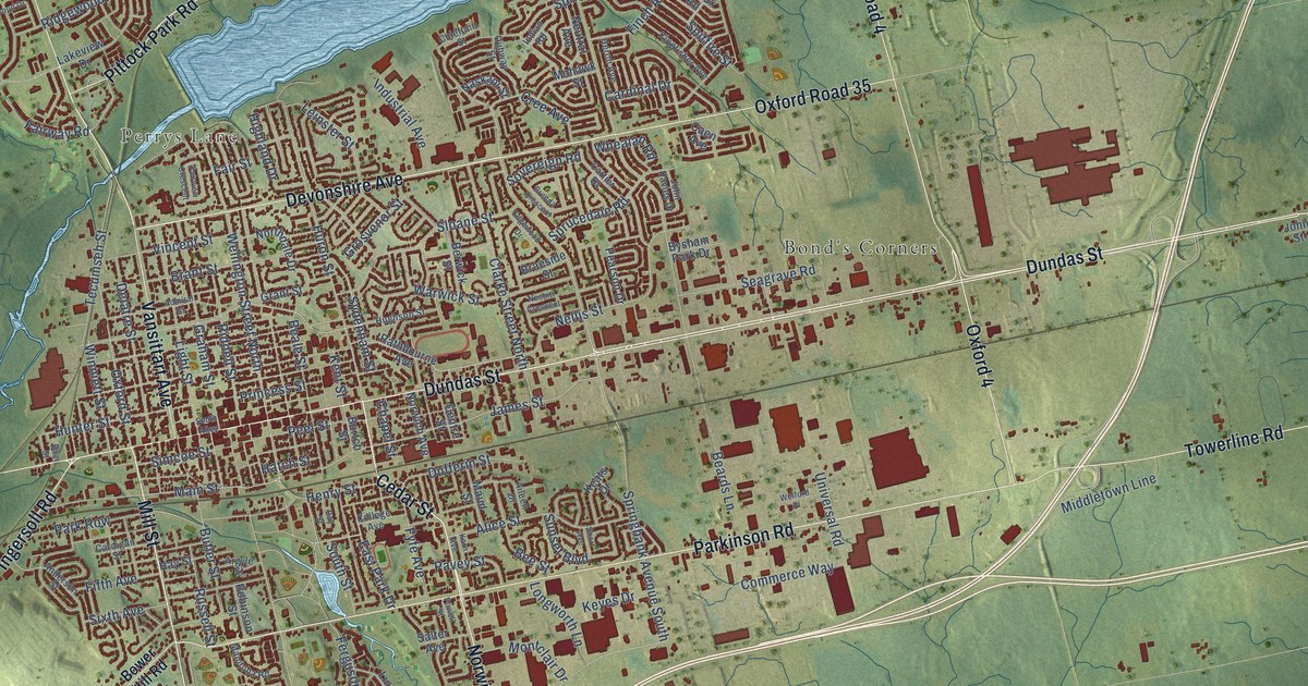
A detailed map of Woodstock, Ontario, showing every building in its true location, the roads by name, and shaded topographical relief.
Read More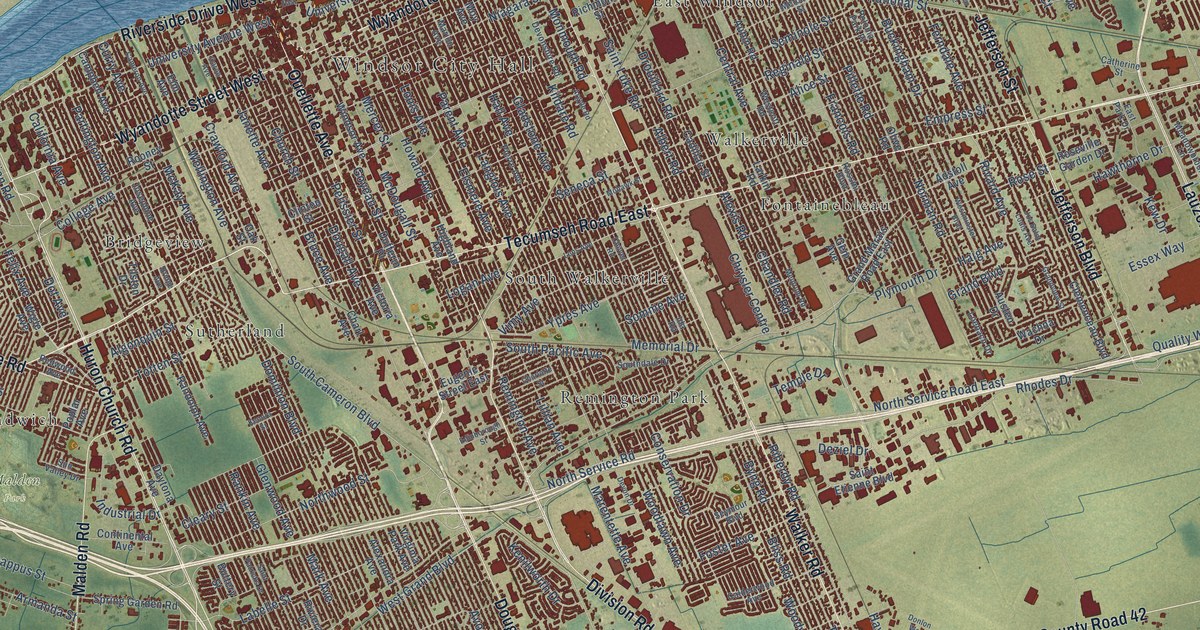
A detailed map of Windsor, Ontario, showing every building in its true location, the roads by name, and shaded topographical relief.
Read More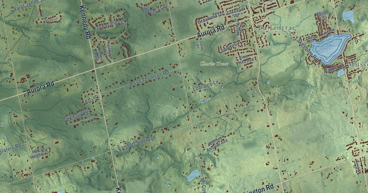
A detailed map of Whitchurch-Stouffville, Ontario, showing every building in its true location, the roads by name, and shaded topographical relief.
Read More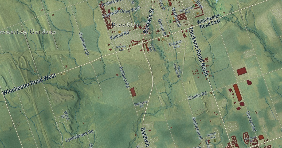
A detailed map of Whitby, Ontario, showing every building in its true location, the roads by name, and shaded topographical relief.
Read More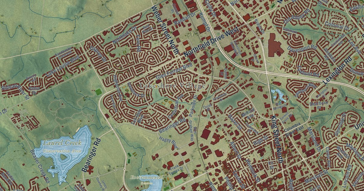
A detailed map of Waterloo, Ontario, showing every building in its true location, the roads by name, and shaded topographical relief.
Read More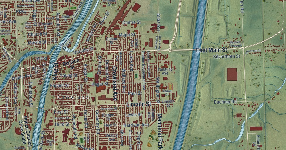
A detailed map of Welland, Ontario, showing every building in its true location, the roads by name, and shaded topographical relief.
Read More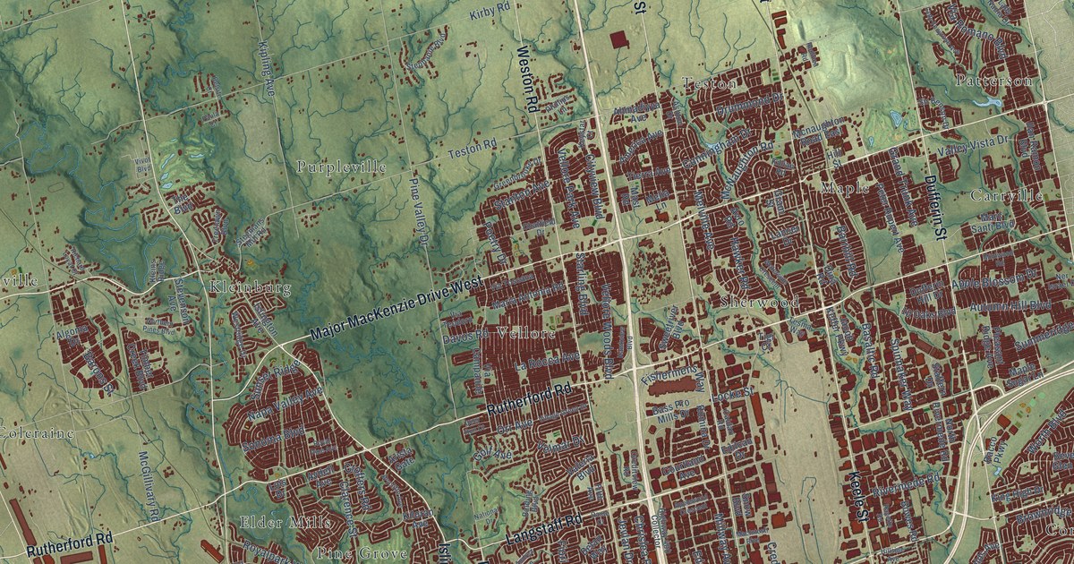
A detailed map of Vaughan, Ontario, showing every building in its true location, the roads by name, and shaded topographical relief.
Read More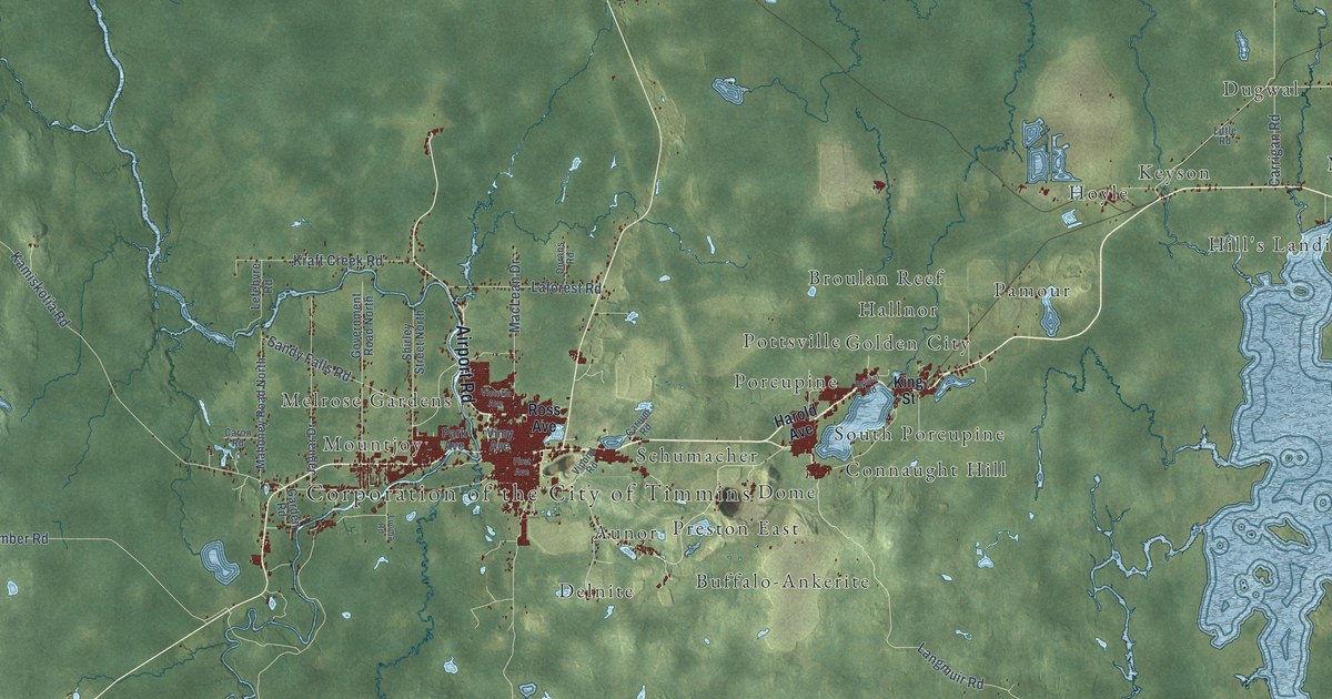
A detailed map of Timmins, Ontario, showing every building in its true location, the roads by name, and shaded topographical relief.
Read More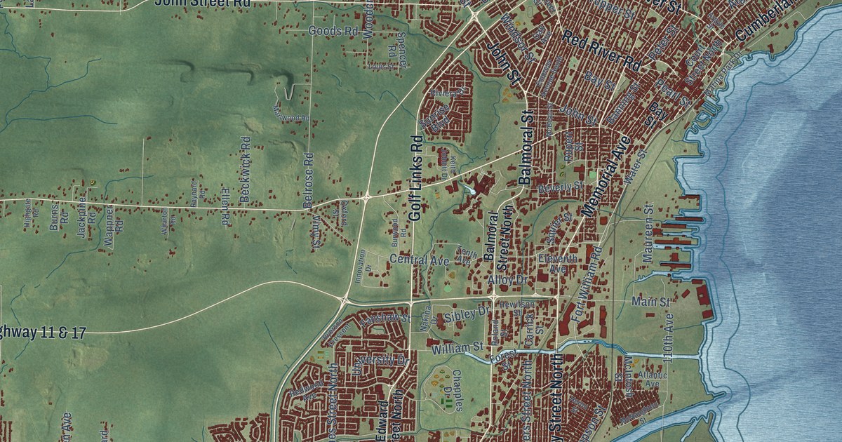
A detailed map of Thunder Bay, Ontario, showing every building in its true location, the roads by name, and shaded topographical relief.
Read More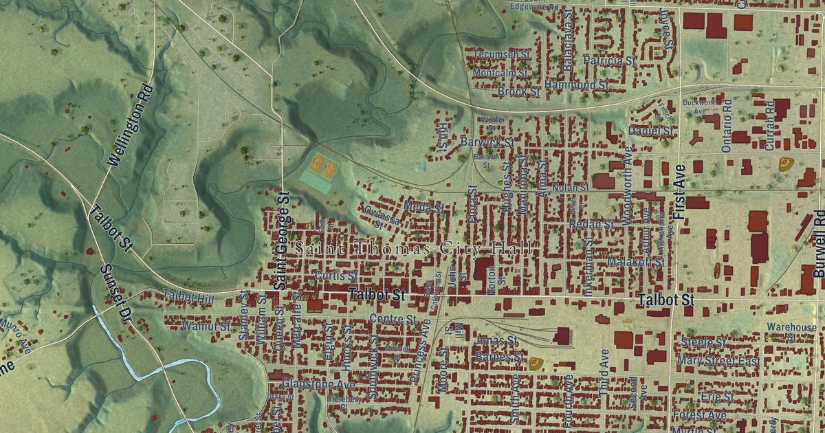
A detailed map of St. Thomas, Ontario, showing every building in its true location, the roads by name, and shaded topographical relief.
Read More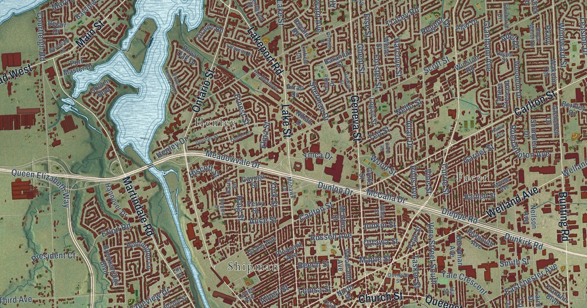
A detailed map of St. Catharines, Ontario, showing every building in its true location, the roads by name, and shaded topographical relief.
Read More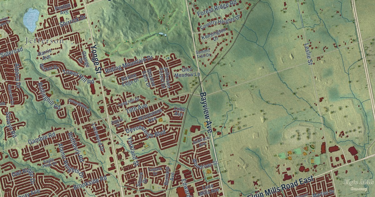
A detailed map of Richmond Hill, Ontario, showing every building in its true location, the roads by name, and shaded topographical relief.
Read More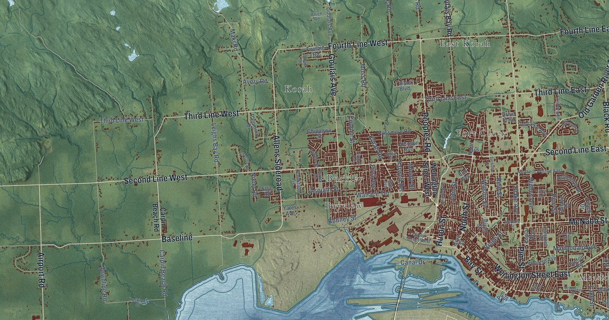
A detailed map of Sault Ste. Marie, Ontario, showing every building in its true location, the roads by name, and shaded topographical relief.
Read More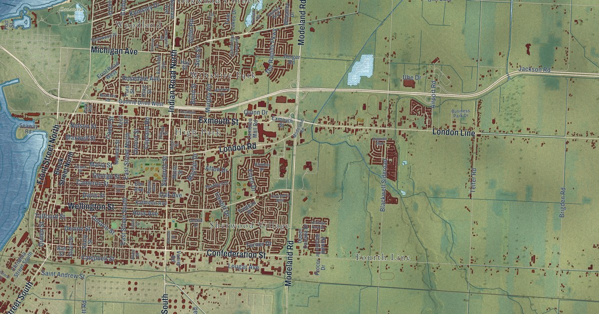
A detailed map of Sarnia, Ontario, showing every building in its true location, the roads by name, and shaded topographical relief.
Read More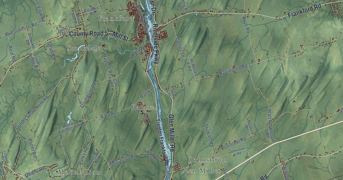
A detailed map of Quinte West, Ontario, showing every building in its true location, the roads by name, and shaded topographical relief.
Read More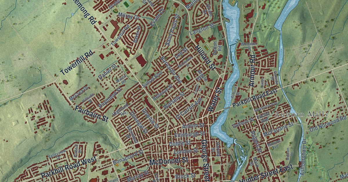
A detailed map of Peterborough, Ontario, showing every building in its true location, the roads by name, and shaded topographical relief.
Read More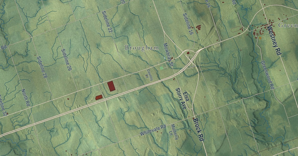
A detailed map of Pickering, Ontario, showing every building in its true location, the roads by name, and shaded topographical relief.
Read More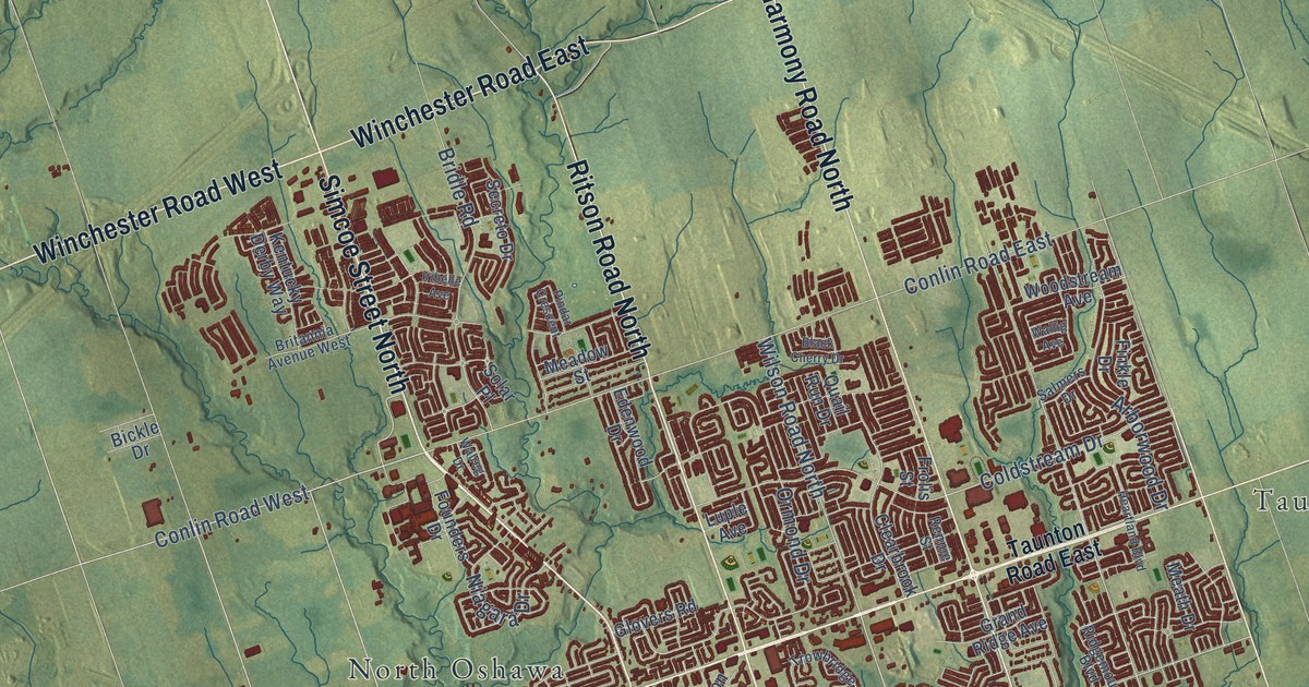
A detailed map of Oshawa, Ontario, showing every building in its true location, the roads by name, and shaded topographical relief.
Read More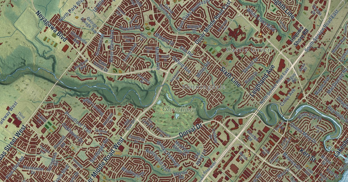
A detailed map of Oakville, Ontario, showing every building in its true location, the roads by name, and shaded topographical relief.
Read More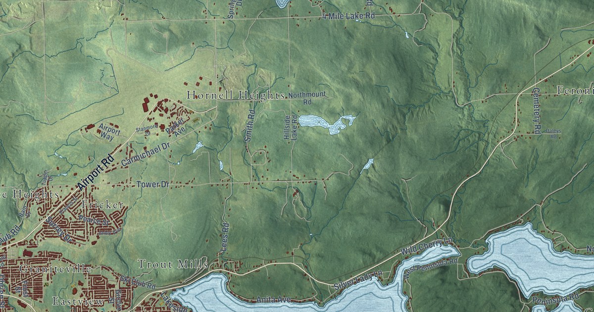
A detailed map of North Bay, Ontario, showing every building in its true location, the roads by name, and shaded topographical relief.
Read More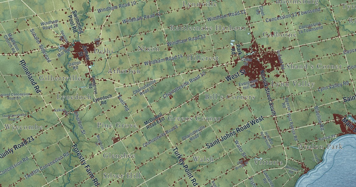
A detailed map of Norfolk County, Ontario, showing every building in its true location, the roads by name, and shaded topographical relief.
Read More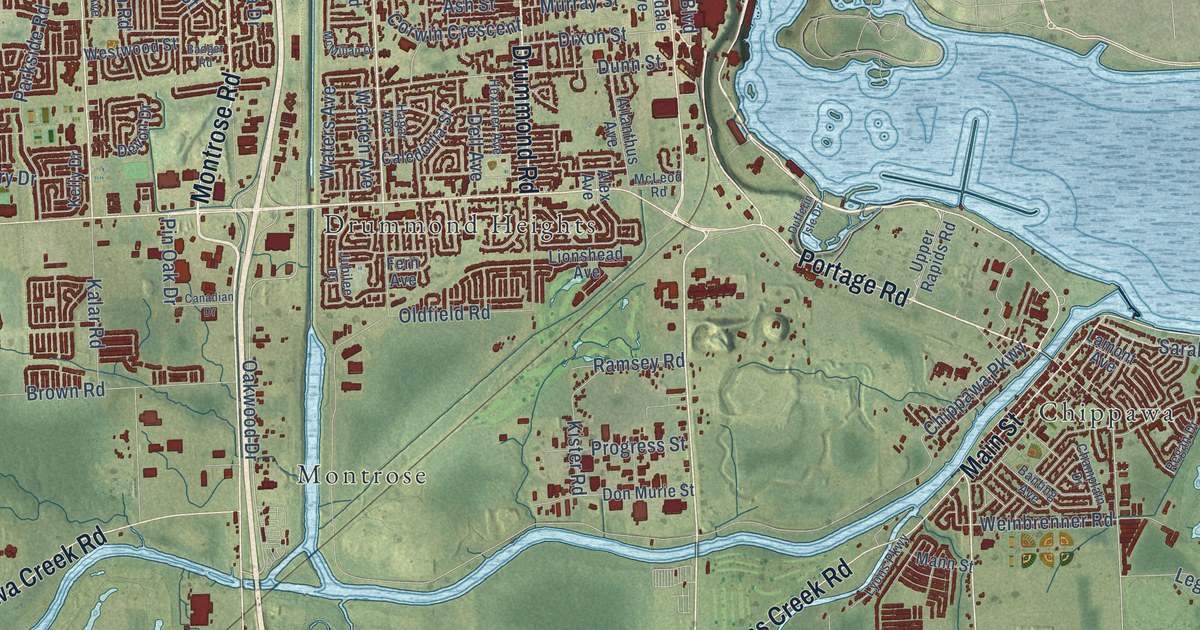
A detailed map of Niagara Falls, Ontario, showing every building in its true location, the roads by name, and shaded topographical relief.
Read More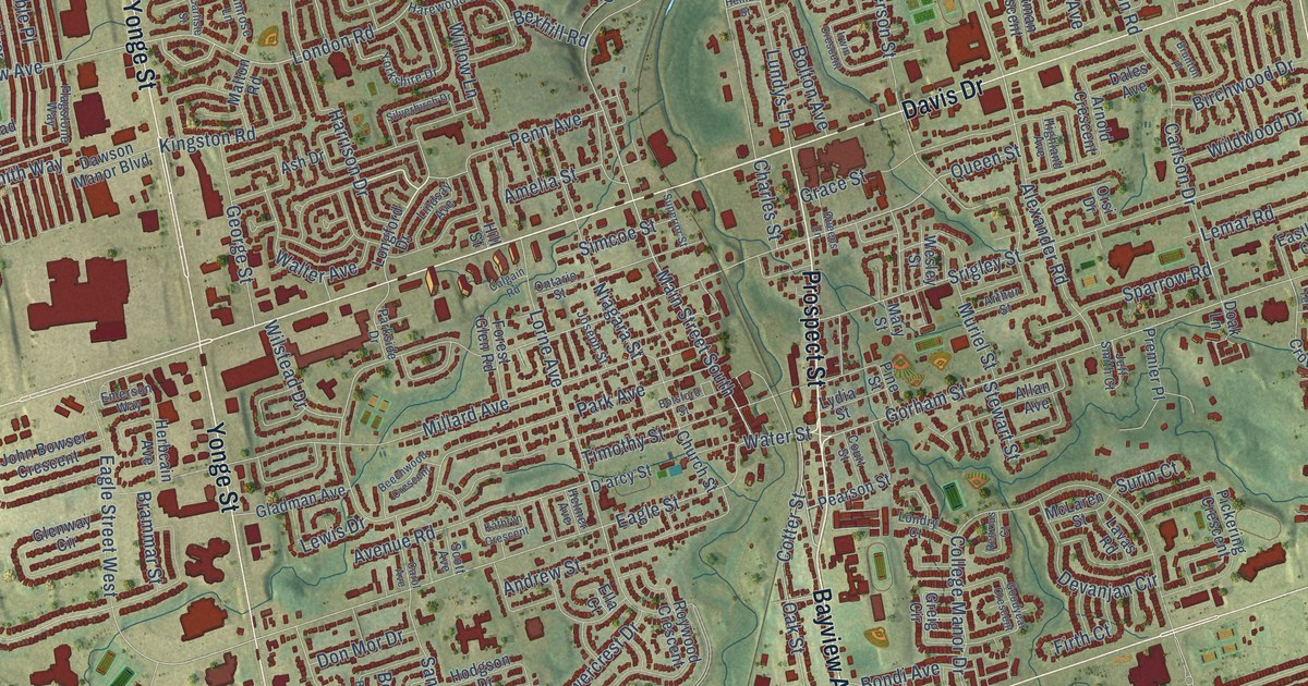
A detailed map of Newmarket, Ontario, showing every building in its true location, the roads by name, and shaded topographical relief.
Read More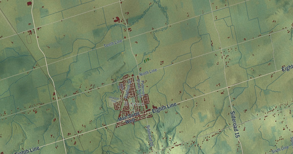
A detailed map of New Tecumseth, Ontario, showing every building in its true location, the roads by name, and shaded topographical relief.
Read More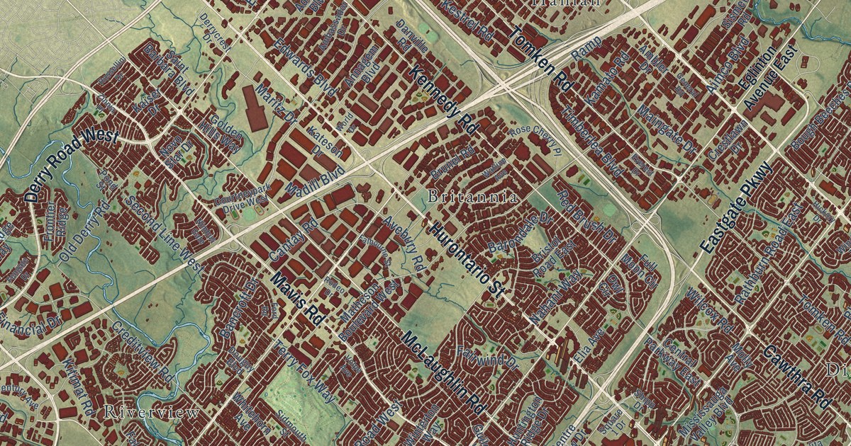
A detailed map of Mississauga, Ontario, showing every building in its true location, the roads by name, and shaded topographical relief.
Read More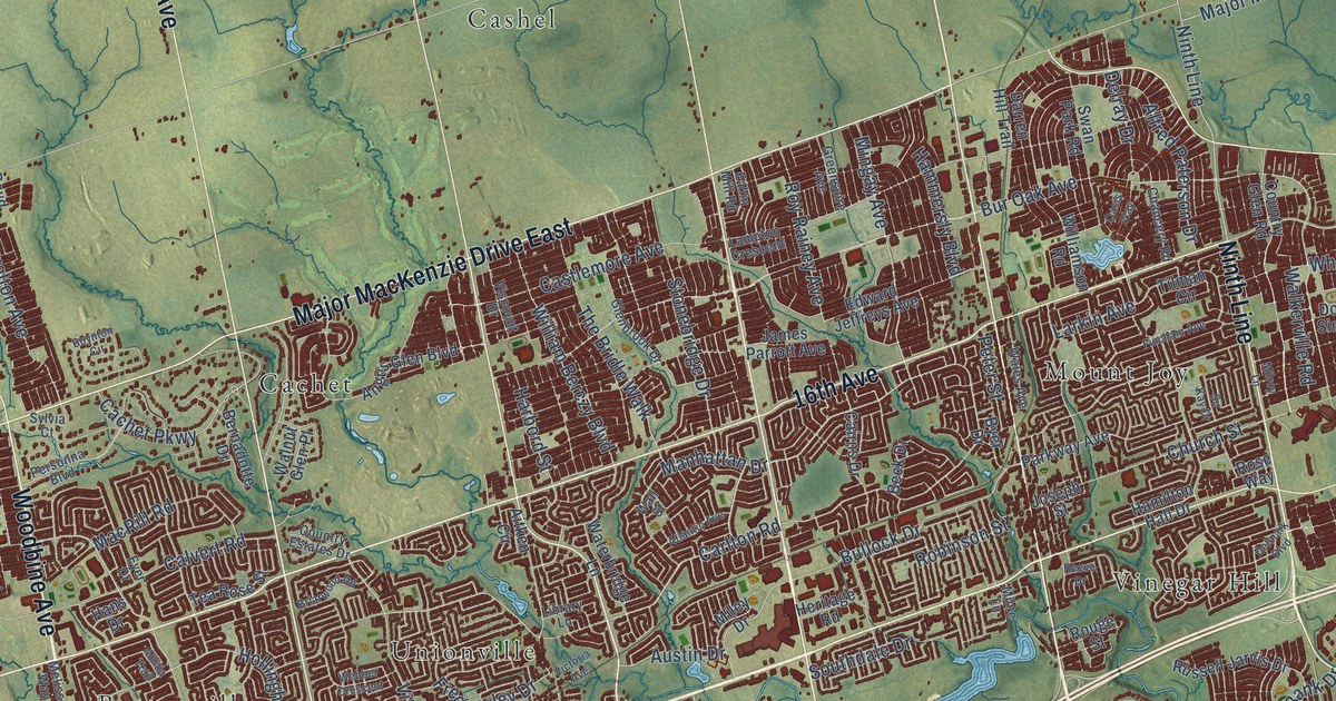
A detailed map of Markham, Ontario, showing every building in its true location, the roads by name, and shaded topographical relief.
Read More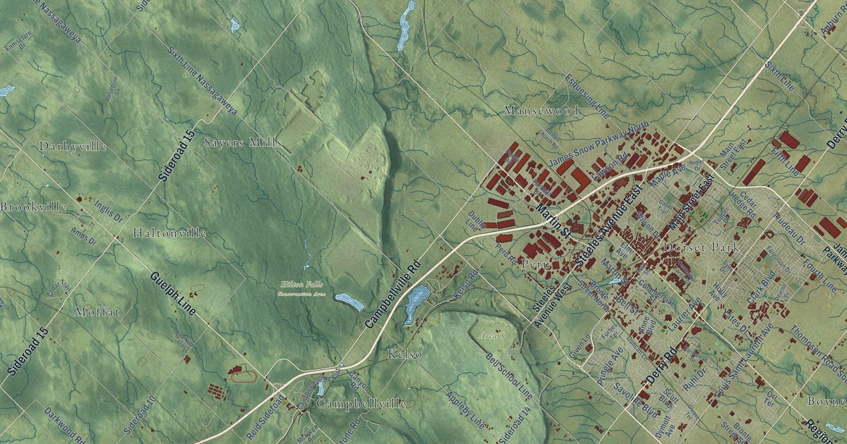
A detailed map of Milton, Ontario, showing every building in its true location, the roads by name, and shaded topographical relief.
Read More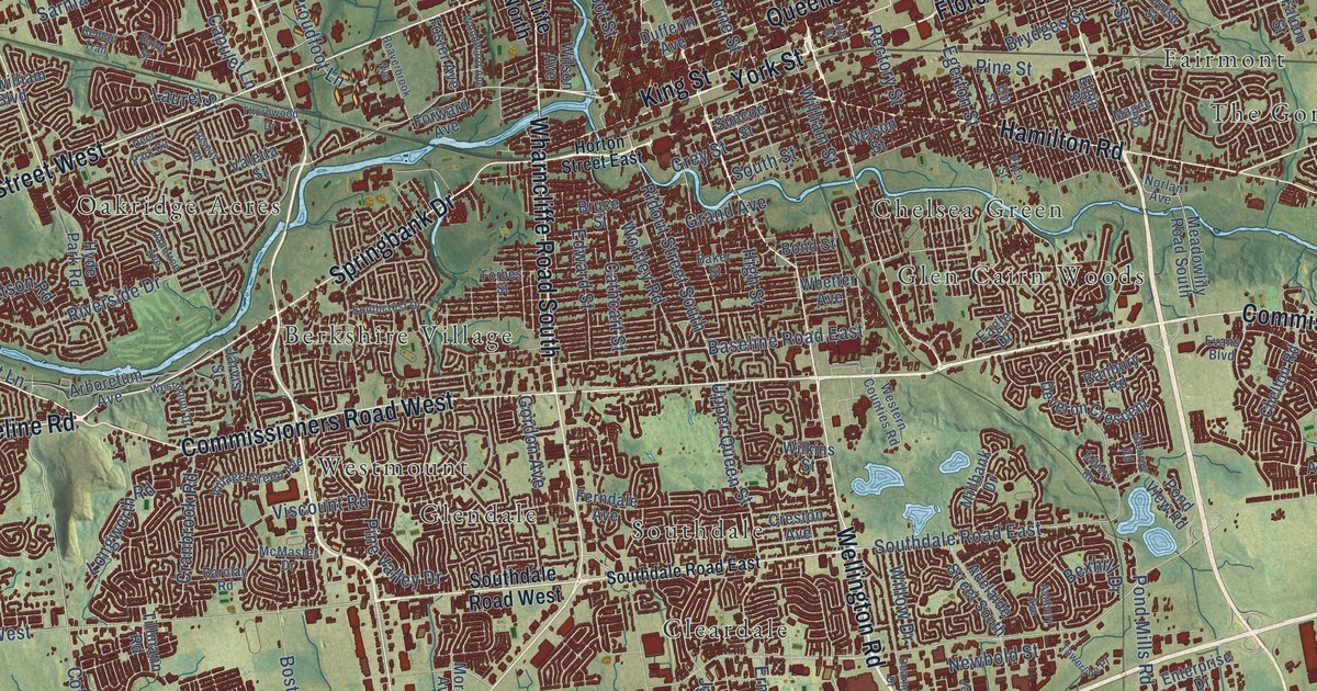
A detailed map of London, Ontario, showing every building in its true location, the roads by name, and shaded topographical relief.
Read More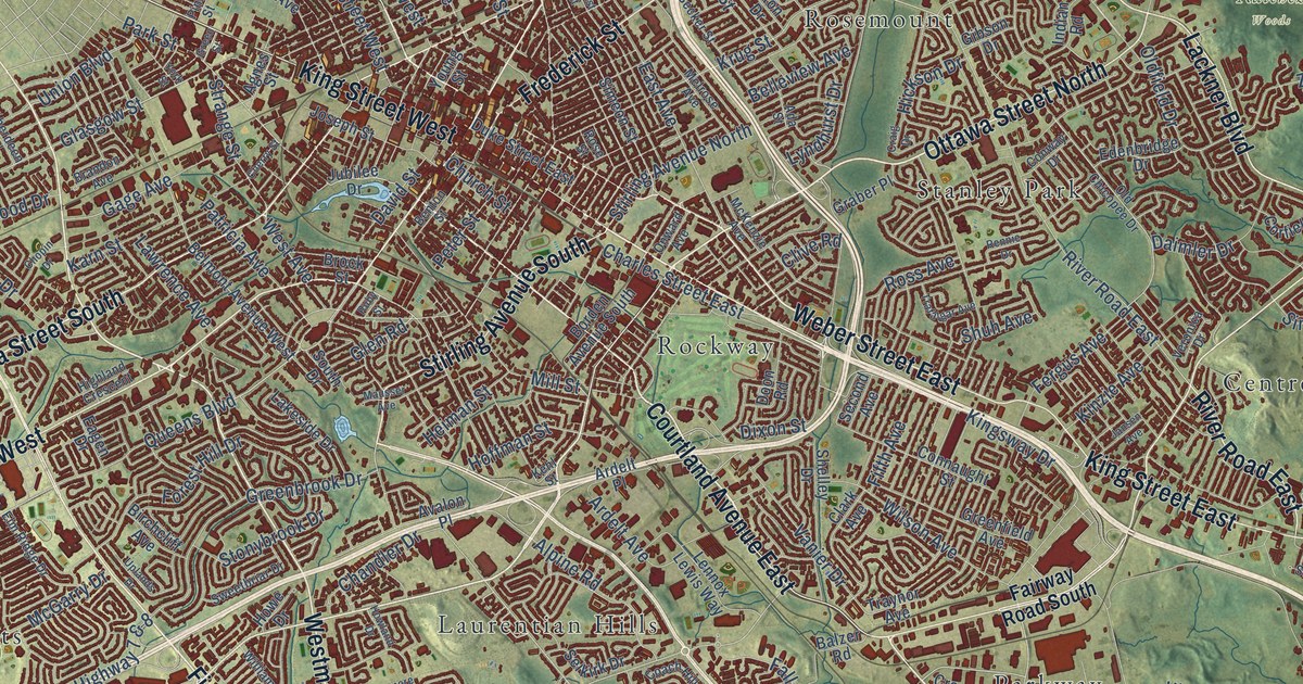
A detailed map of Kitchener, Ontario, showing every building in its true location, the roads by name, and shaded topographical relief.
Read More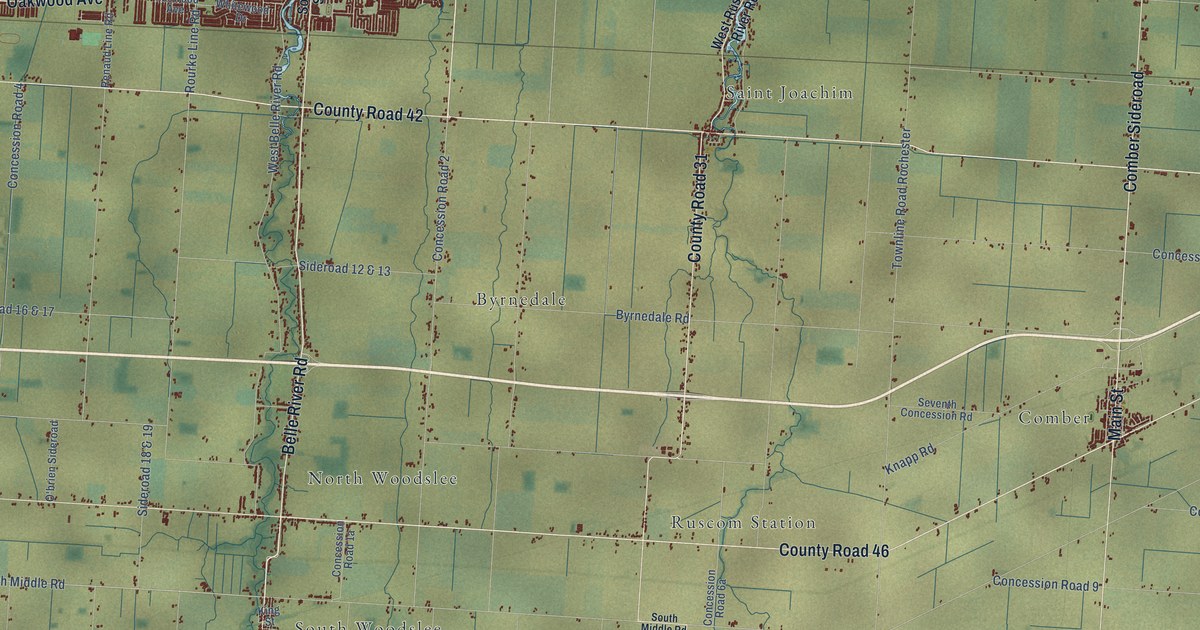
A detailed map of Lakeshore, Ontario, showing every building in its true location, the roads by name, and shaded topographical relief.
Read More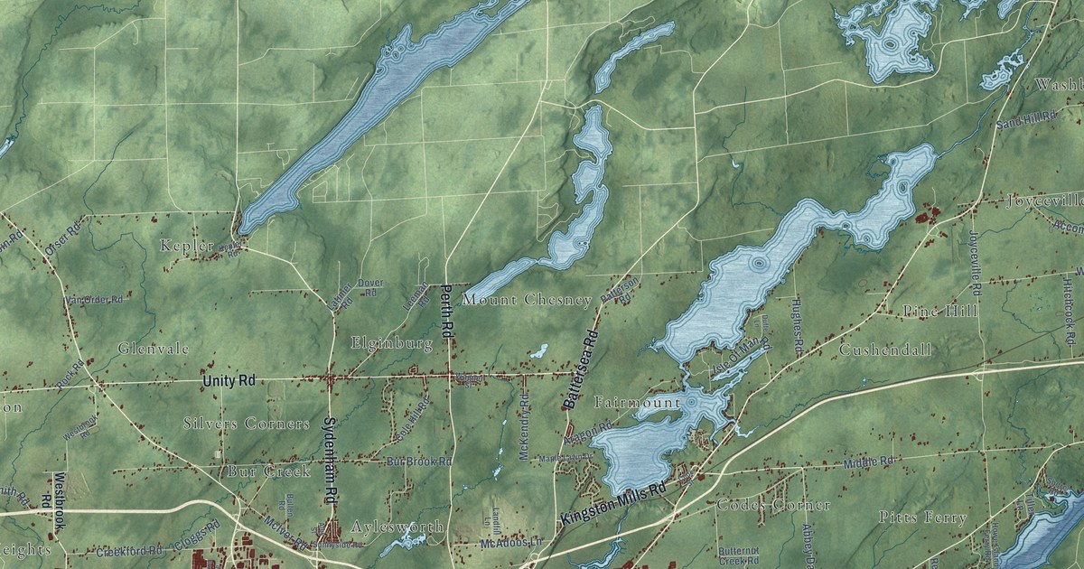
A detailed map of Kingston, Ontario, showing every building in its true location, the roads by name, and shaded topographical relief.
Read More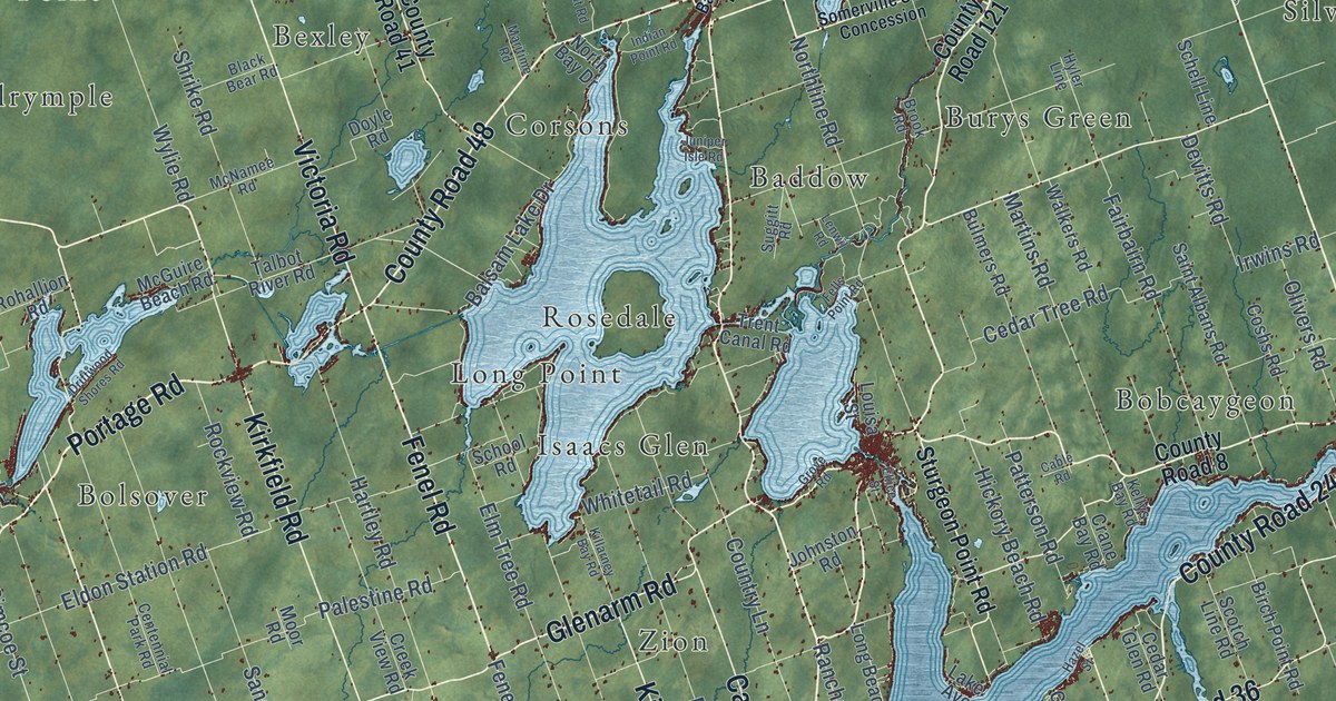
A detailed map of Kawartha Lakes, Ontario, showing every building in its true location, the roads by name, and shaded topographical relief.
Read More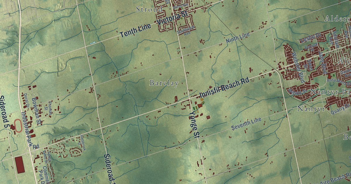
A detailed map of Innisfil, Ontario, showing every building in its true location, the roads by name, and shaded topographical relief.
Read More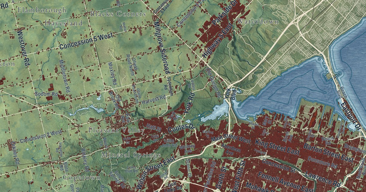
A detailed map of Hamilton, Ontario, showing every building in its true location, the roads by name, and shaded topographical relief.
Read More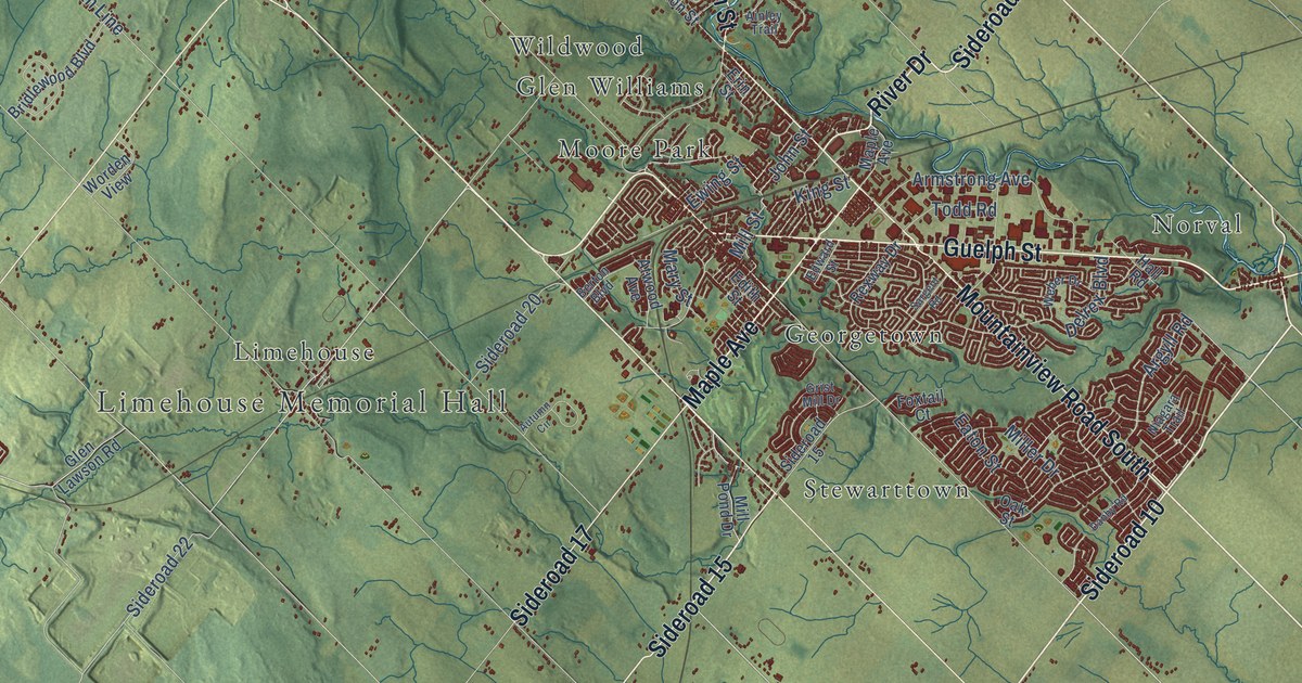
A detailed map of Halton Hills, Ontario, showing every building in its true location, the roads by name, and shaded topographical relief.
Read More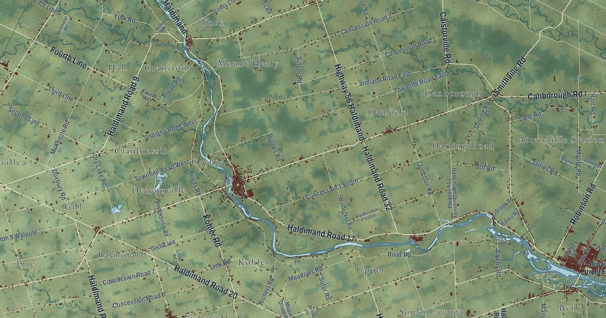
A detailed map of Haldimand County, Ontario, showing every building in its true location, the roads by name, and shaded topographical relief.
Read More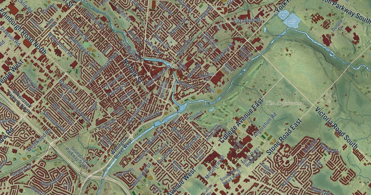
A detailed map of Guelph, Ontario, showing every building in its true location, the roads by name, and shaded topographical relief.
Read More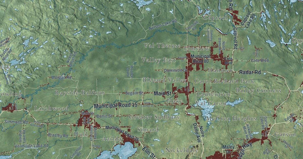
A detailed map of Sudbury, Ontario, showing every building in its true location, the roads by name, and shaded topographical relief.
Read More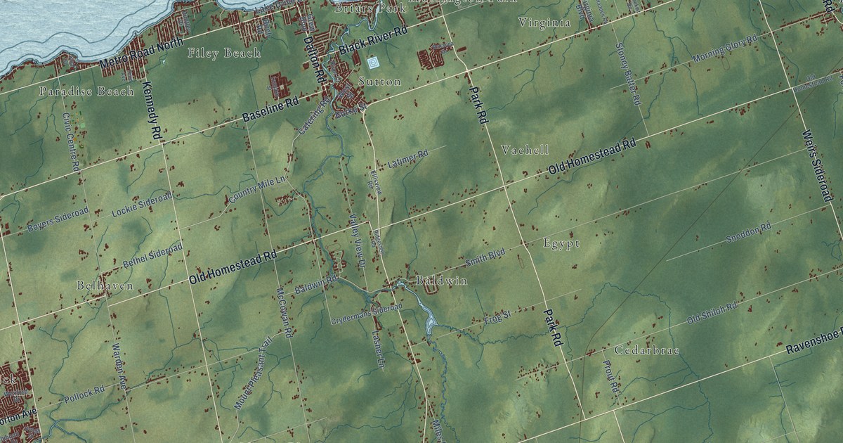
A detailed map of Georgina, Ontario, showing every building in its true location, the roads by name, and shaded topographical relief.
Read More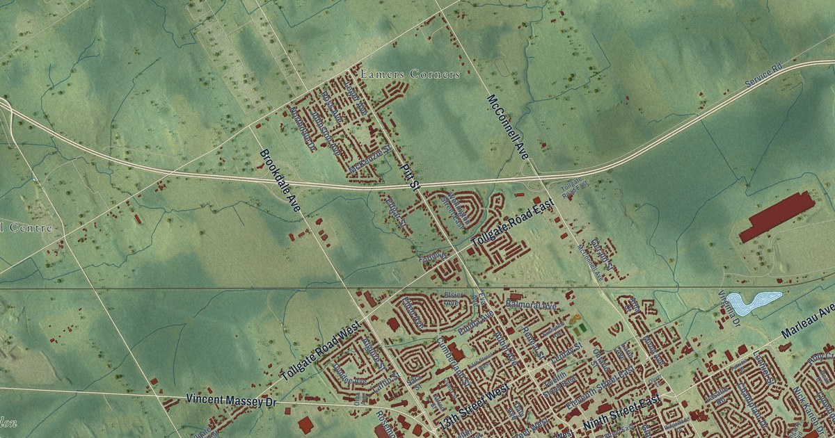
A detailed map of Cornwall, Ontario, showing every building in its true location, the roads by name, and shaded topographical relief.
Read More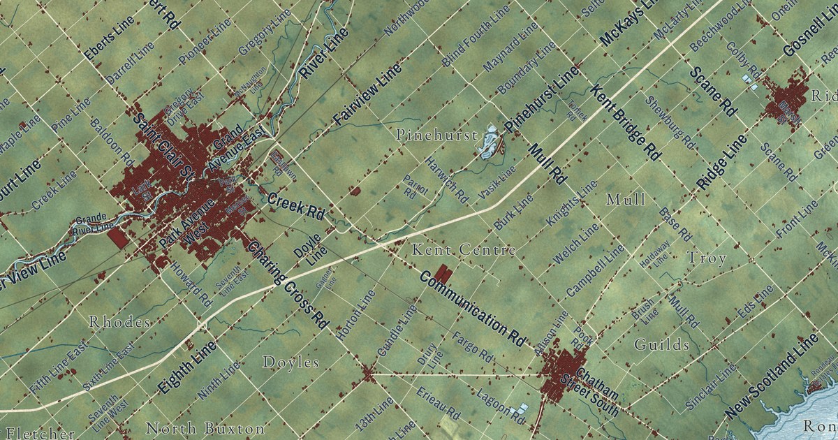
A detailed map of Chatham-Kent, Ontario, showing every building in its true location, the roads by name, and shaded topographical relief.
Read More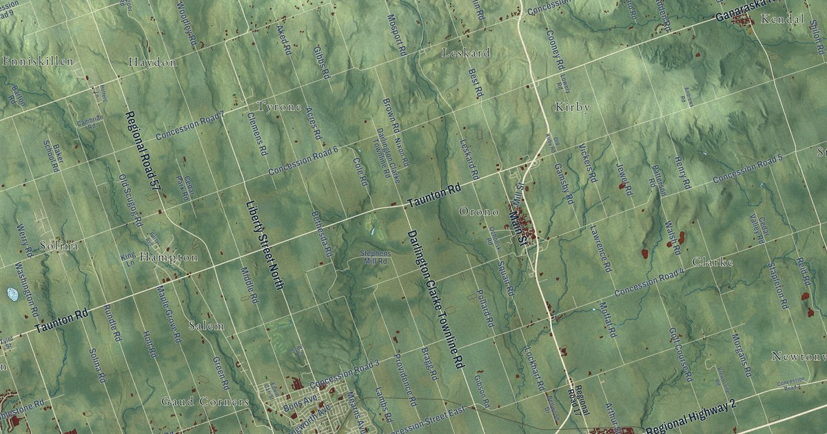
A detailed map of Clarington, Ontario, showing every building in its true location, the roads by name, and shaded topographical relief.
Read More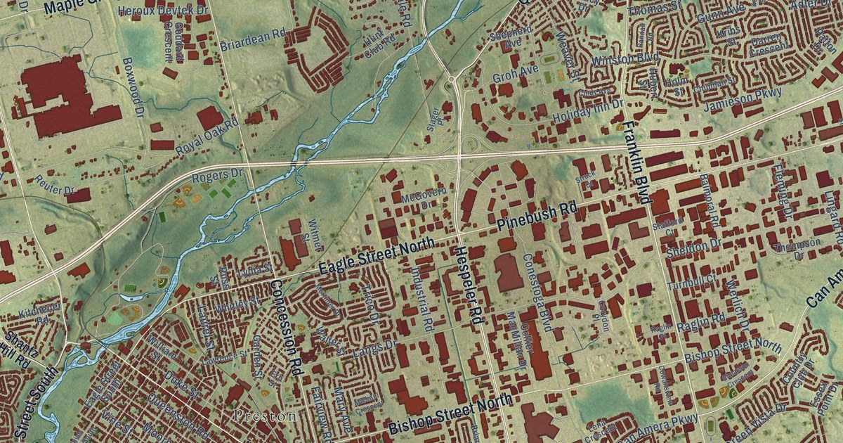
A detailed map of Cambridge, Ontario, showing every building in its true location, the roads by name, and shaded topographical relief.
Read More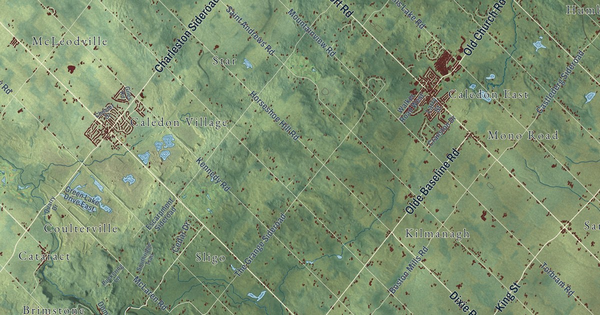
A detailed map of Caledon, Ontario, showing every building in its true location, the roads by name, and shaded topographical relief.
Read More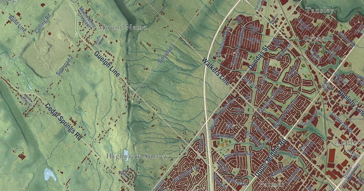
A detailed map of Burlington, Ontario, showing every building in its true location, the roads by name, and shaded topographical relief.
Read More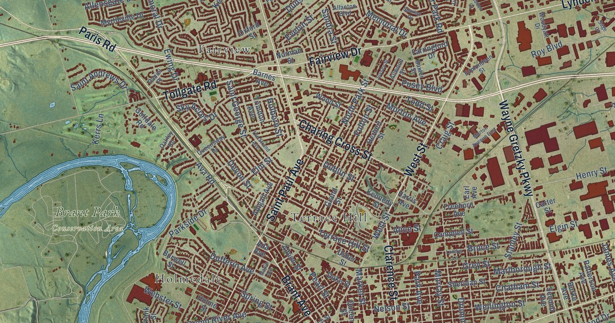
A detailed map of Brantford, Ontario, showing every building in its true location, the roads by name, and shaded topographical relief.
Read More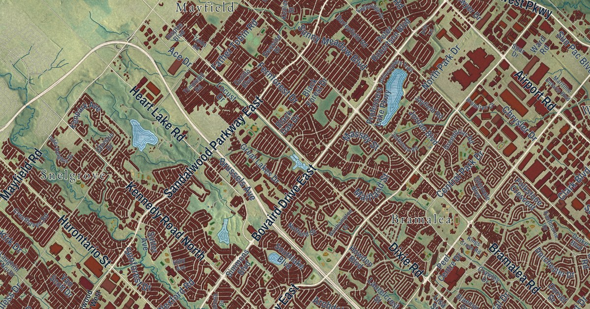
A detailed map of Brampton, Ontario, showing every building in its true location, the roads by name, and shaded topographical relief.
Read More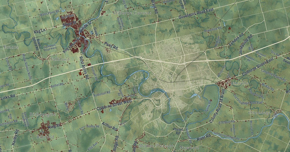
A detailed map of Brant, Ontario, showing every building in its true location, the roads by name, and shaded topographical relief.
Read More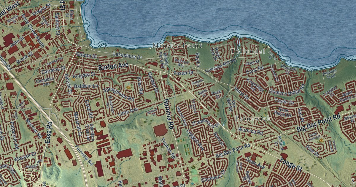
A detailed map of Barrie, Ontario, showing every building in its true location, the roads by name, and shaded topographical relief.
Read More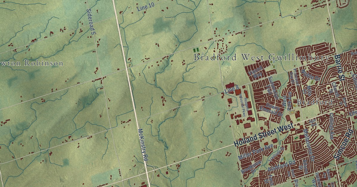
A detailed map of Bradford West Gwillimbury, Ontario, showing every building in its true location, the roads by name, and shaded topographical relief.
Read More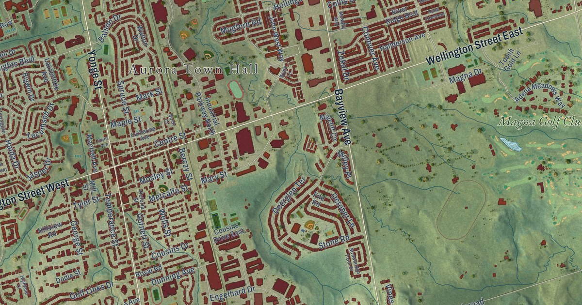
A detailed map of Aurora, Ontario, showing every building in its true location, the roads by name, and shaded topographical relief.
Read More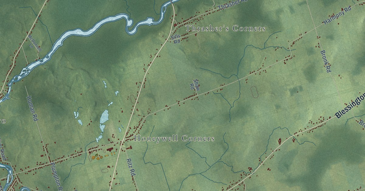
A detailed map of Belleville, Ontario, showing every building in its true location, the roads by name, and shaded topographical relief.
Read More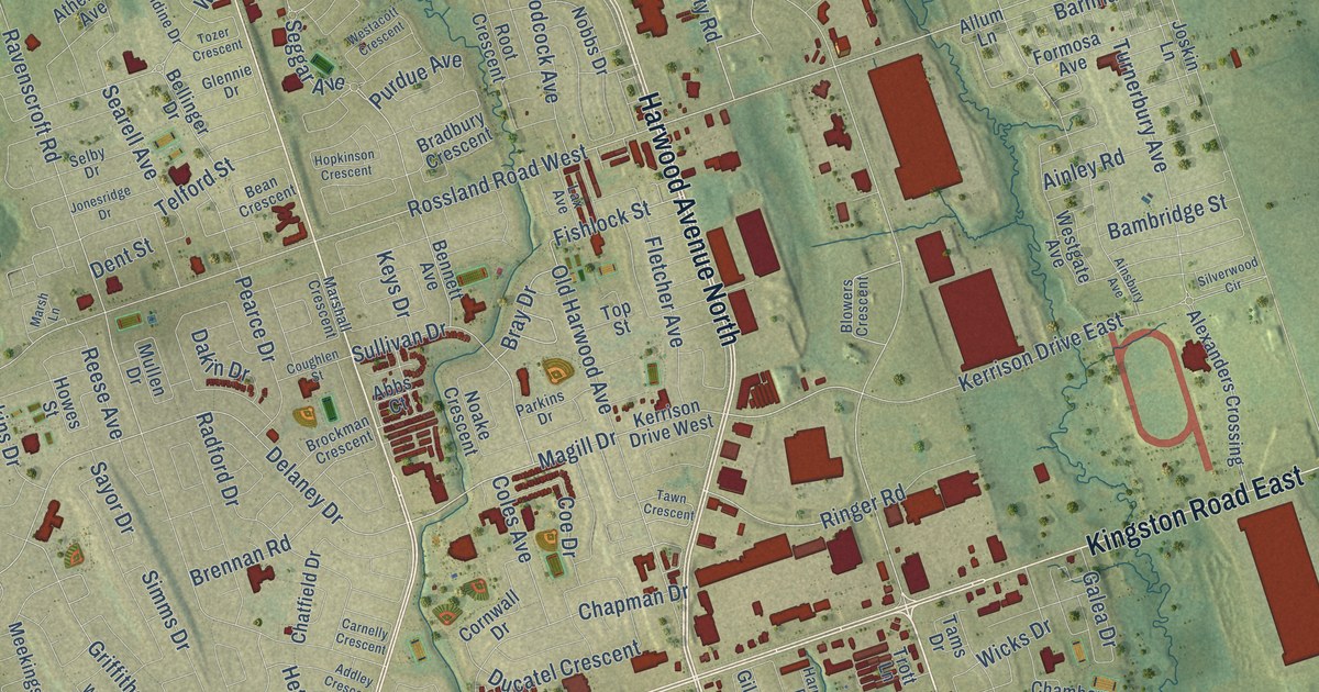
A detailed map of Ajax, Ontario, showing every building in its true location, the roads by name, and shaded topographical relief.
Read More