Detailed Map of Front of Yonge, Ontario
A detailed map of Front of Yonge, Ontario, showing every building in its true location, the roads by name, and shaded topographical relief.

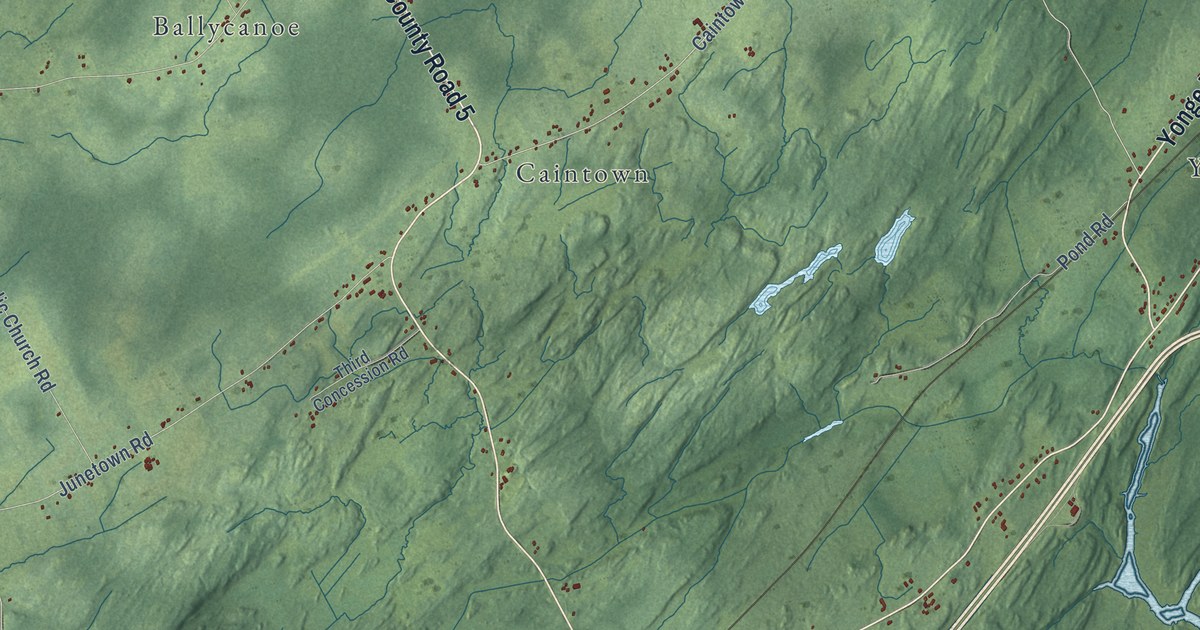
A detailed map of Front of Yonge, Ontario, showing every building in its true location, the roads by name, and shaded topographical relief.
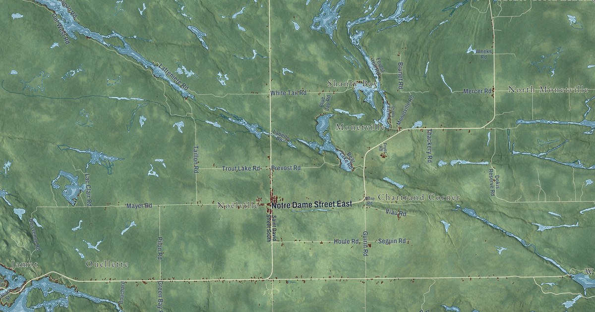
A detailed map of French River-Rivière des Français, Ontario, showing every building in its true location, the roads by name, and shaded topographical relief.
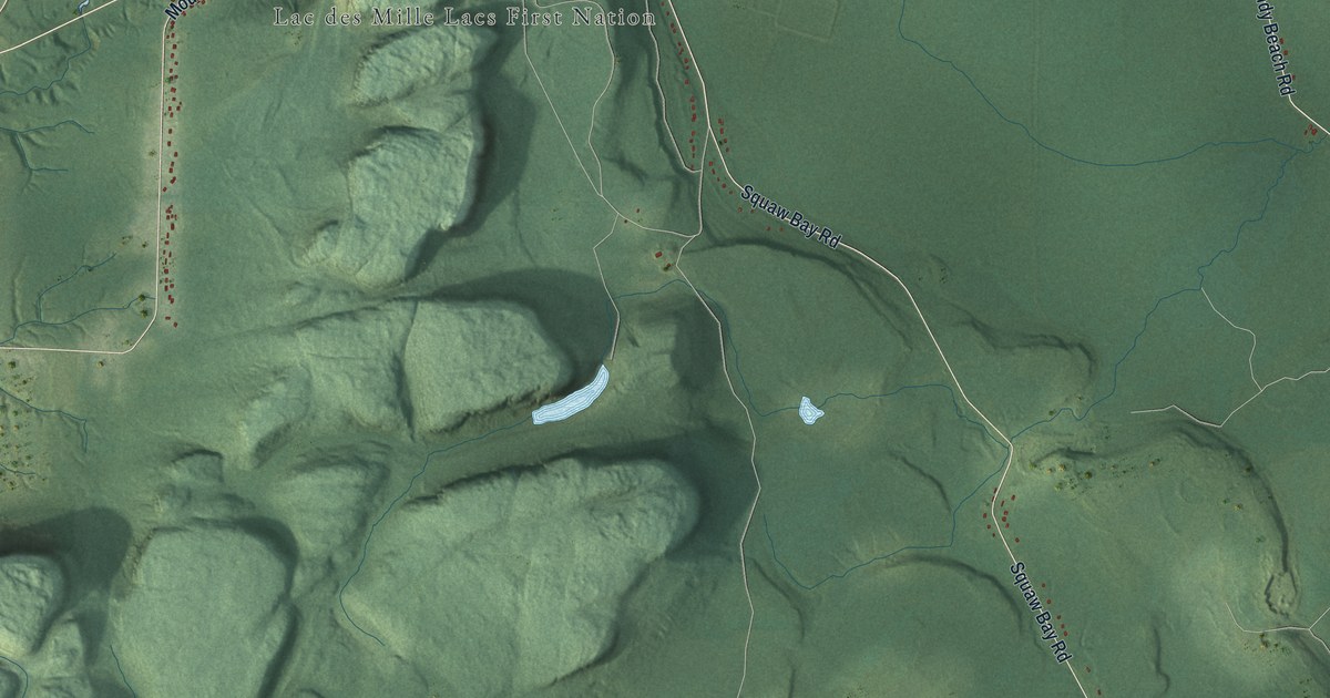
A detailed map of Fort William, Ontario, showing every building in its true location, the roads by name, and shaded topographical relief.
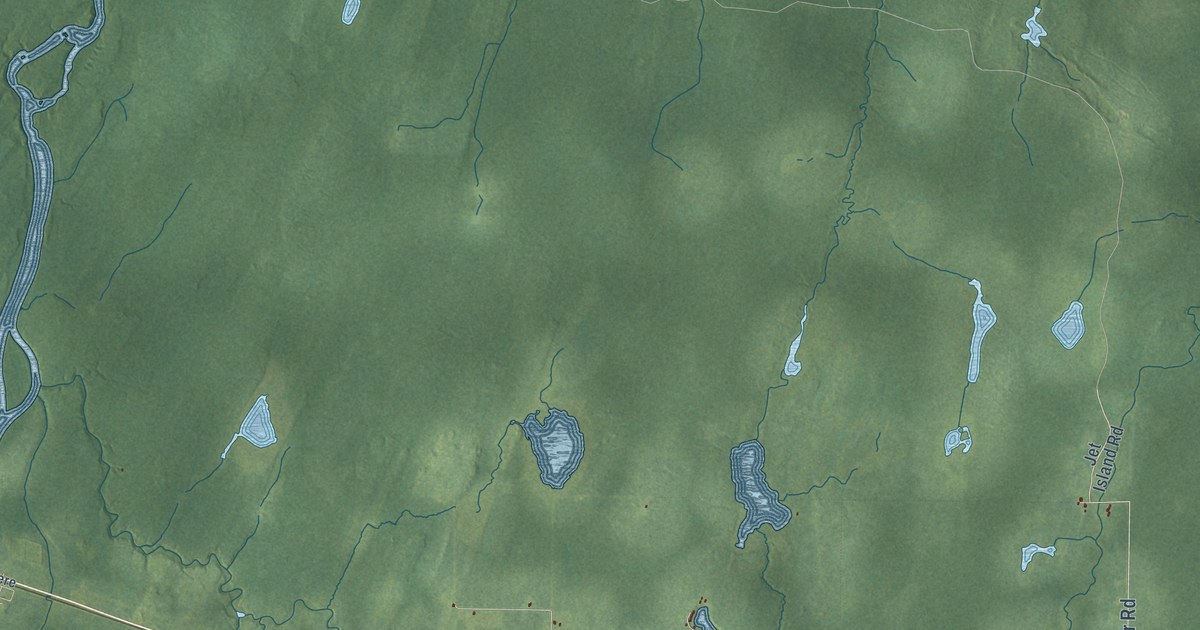
A detailed map of Fauquier-Strickland, Ontario, showing every building in its true location, the roads by name, and shaded topographical relief.
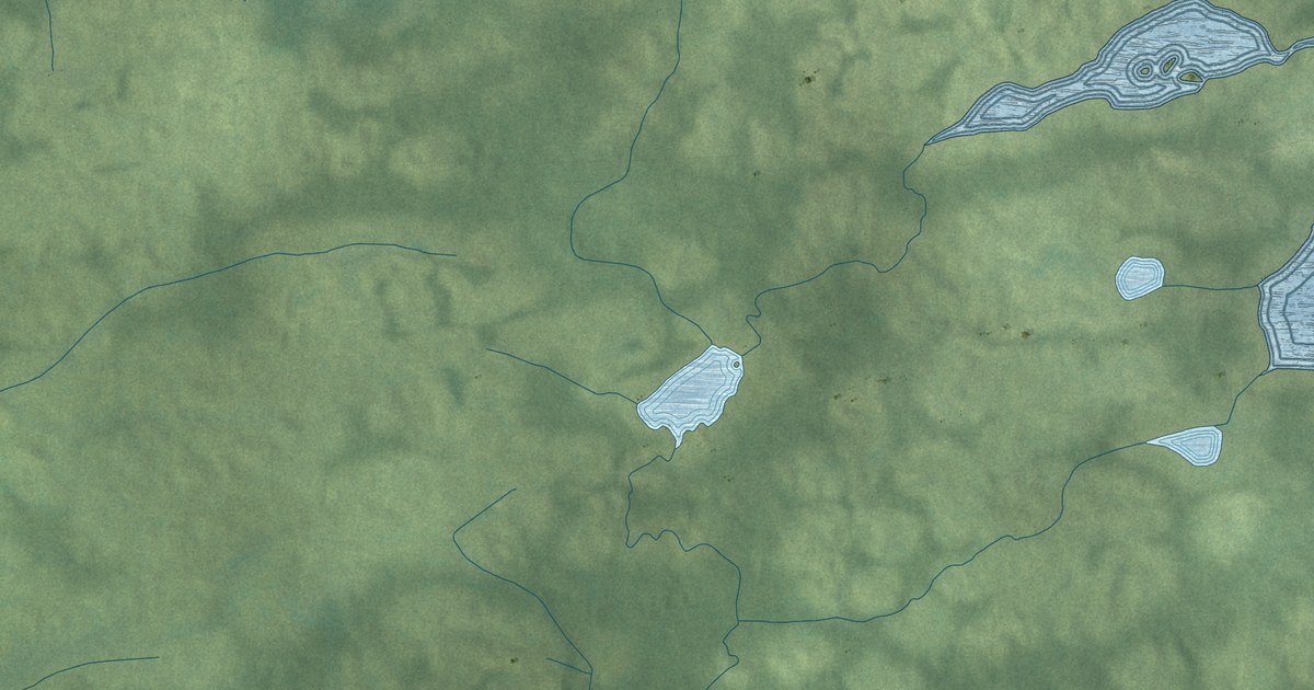
A detailed map of Fort Hope, Ontario, showing every building in its true location, the roads by name, and shaded topographical relief.
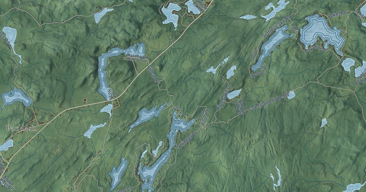
A detailed map of Faraday, Ontario, showing every building in its true location, the roads by name, and shaded topographical relief.
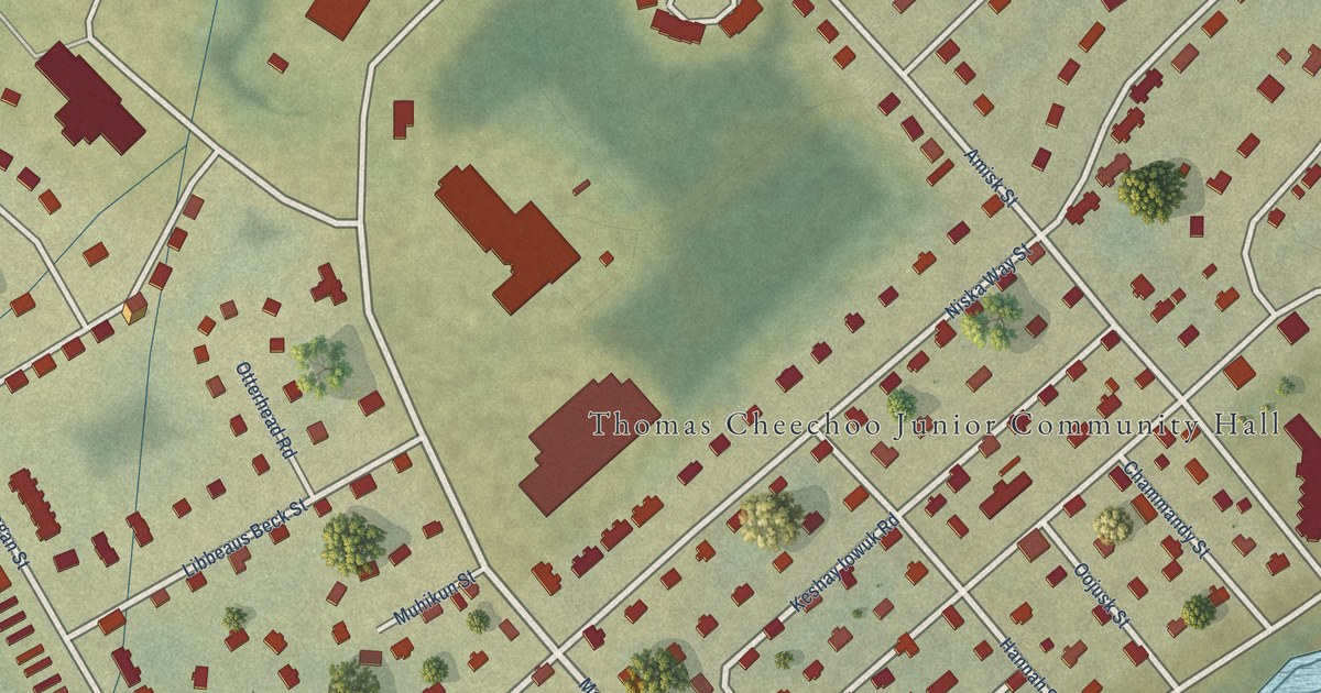
A detailed map of Factory Island, Ontario, showing every building in its true location, the roads by name, and shaded topographical relief.
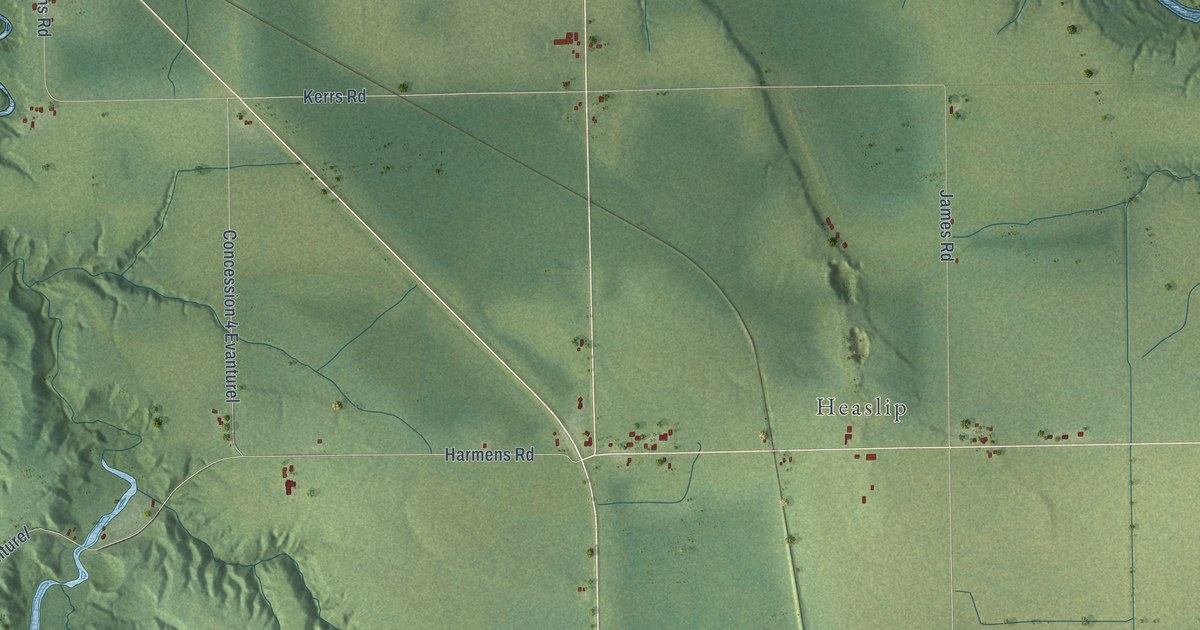
A detailed map of Evanturel, Ontario, showing every building in its true location, the roads by name, and shaded topographical relief.
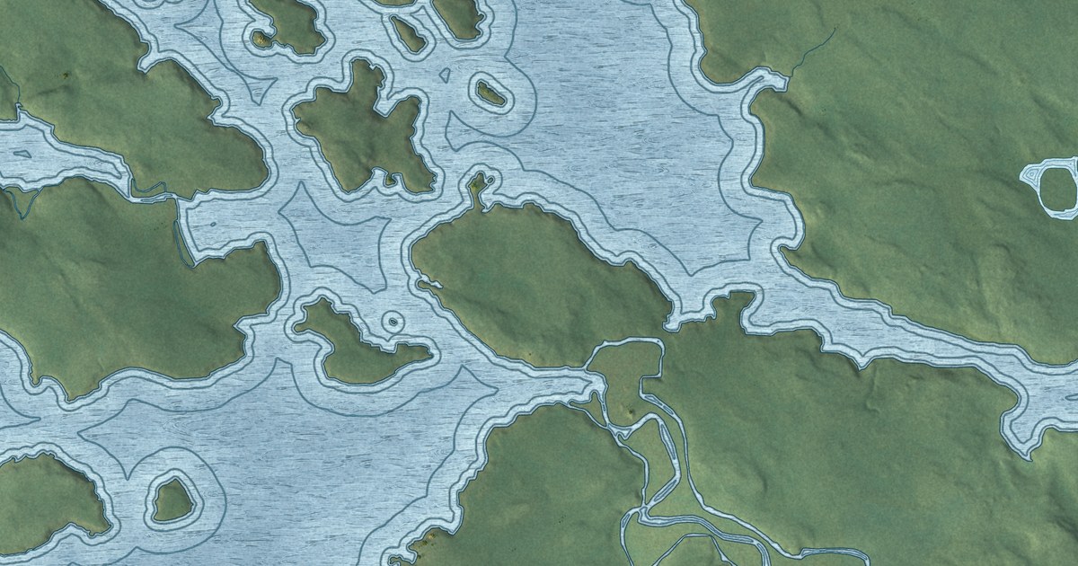
A detailed map of Grassy Narrows First Nation, Ontario, showing every building in its true location, the roads by name, and shaded topographical relief.
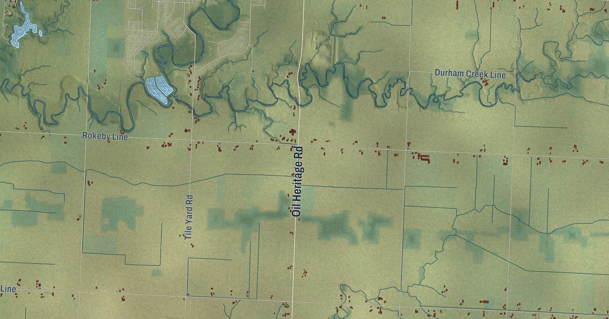
A detailed map of Enniskillen, Ontario, showing every building in its true location, the roads by name, and shaded topographical relief.
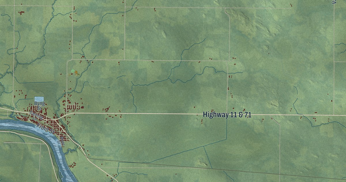
A detailed map of Emo, Ontario, showing every building in its true location, the roads by name, and shaded topographical relief.
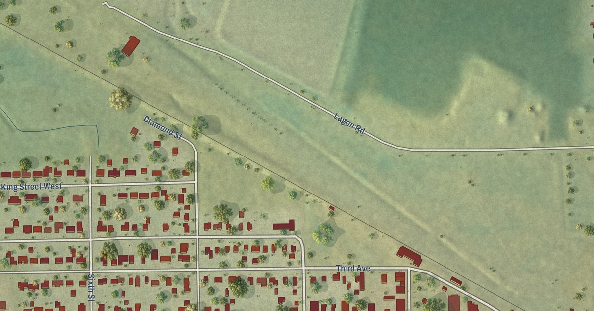
A detailed map of Englehart, Ontario, showing every building in its true location, the roads by name, and shaded topographical relief.
