Detailed Map of Bayview, Prince Edward Island
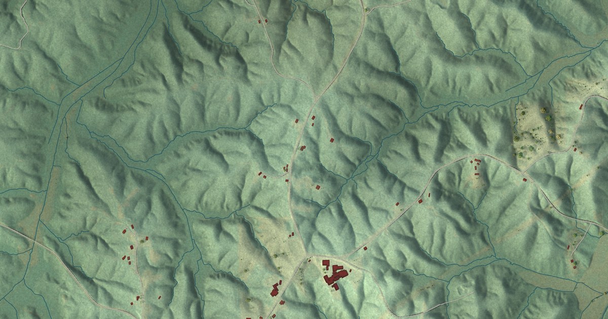
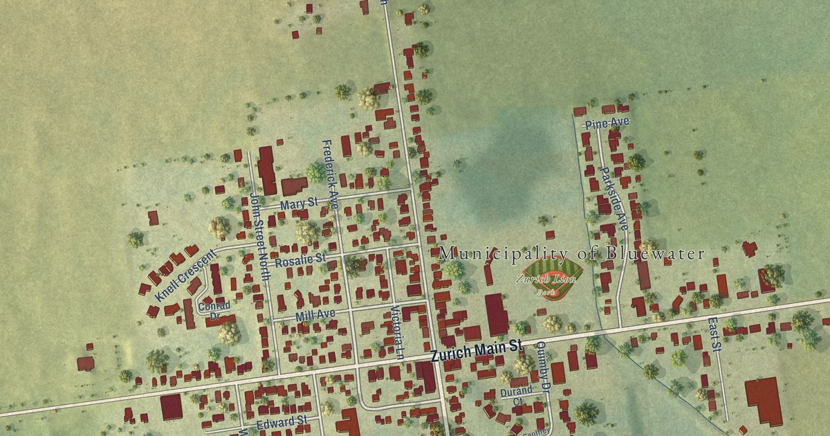
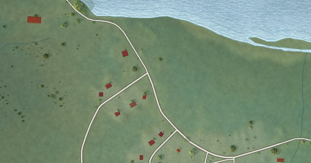
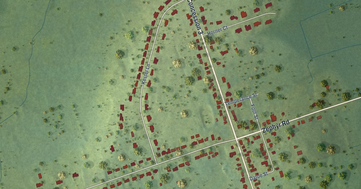
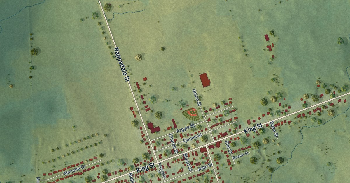
A detailed map of Bayview, Prince Edward Island, showing every building in its true location, the roads by name, and shaded topographical relief.
Read More
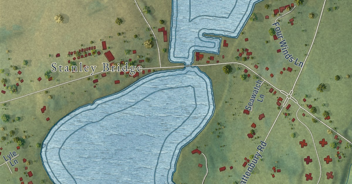
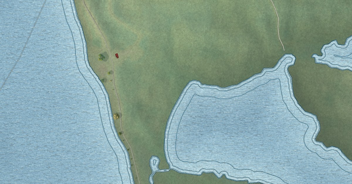
A detailed map of Bayview, Prince Edward Island, showing every building in its true location, the roads by name, and shaded topographical relief.
Read More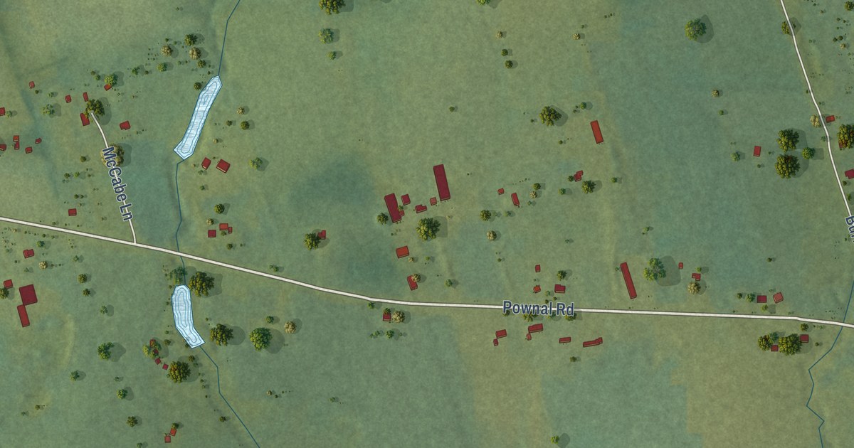
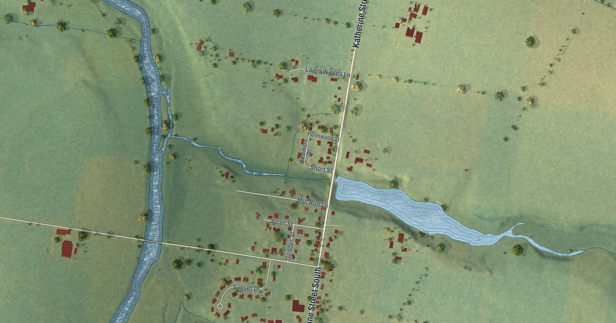
A detailed map of Alexandra, Prince Edward Island, showing every building in its true location, the roads by name, and shaded topographical relief.
Read More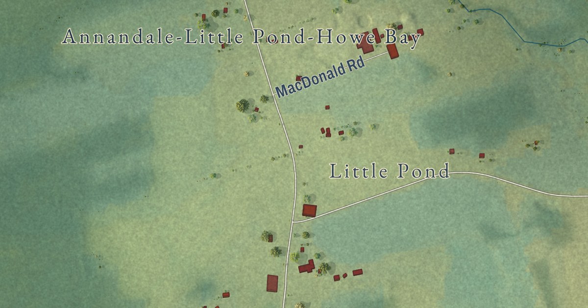
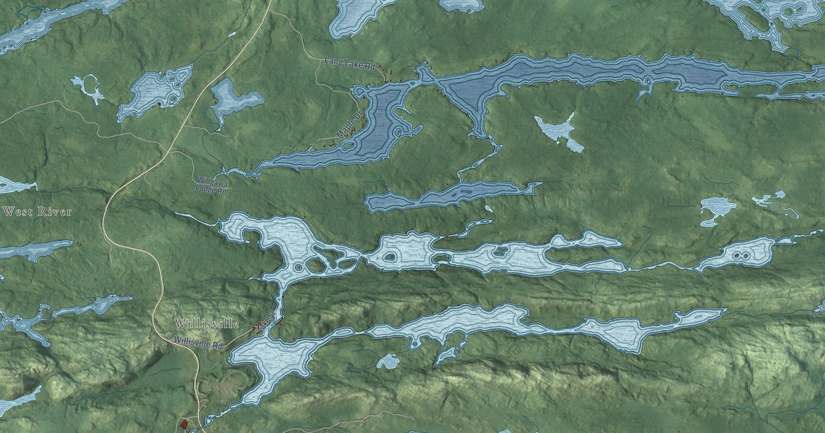
A detailed map of Annandale, Prince Edward Island, showing every building in its true location, the roads by name, and shaded topographical relief.
Read More
A detailed map of Auburn, Prince Edward Island, showing every building in its true location, the roads by name, and shaded topographical relief.
Read More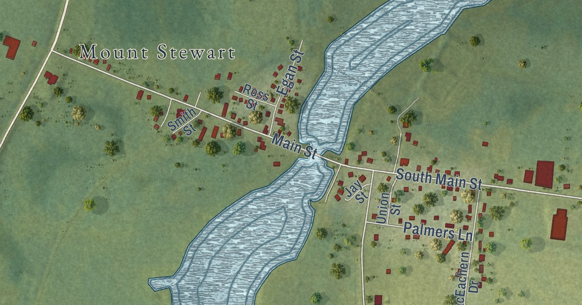
A detailed map of Allisary, Prince Edward Island, showing every building in its true location, the roads by name, and shaded topographical relief.
Read More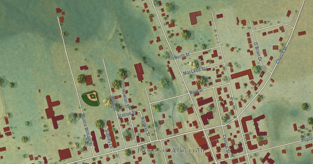
A detailed map of Alberton, Prince Edward Island, showing every building in its true location, the roads by name, and shaded topographical relief.
Read More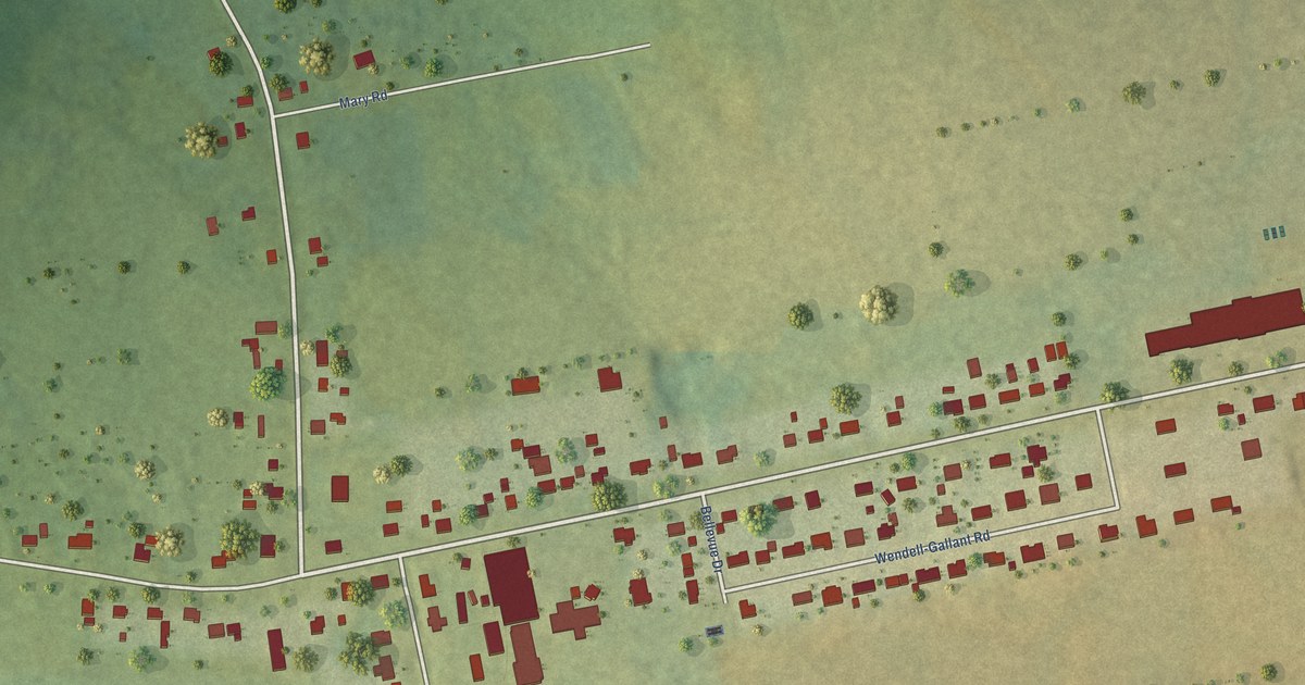
A detailed map of Abram-Village, Prince Edward Island, showing every building in its true location, the roads by name, and shaded topographical relief.
Read More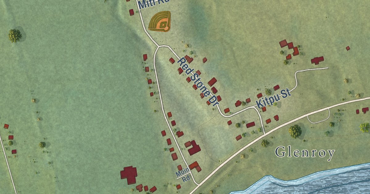
A detailed map of Afton Road, Prince Edward Island, showing every building in its true location, the roads by name, and shaded topographical relief.
Read More