Detailed Map of York, Prince Edward Island
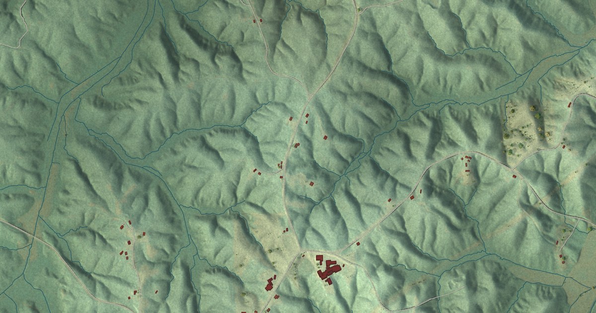
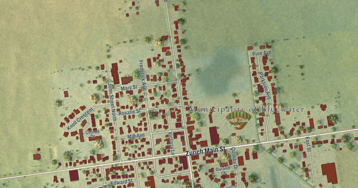
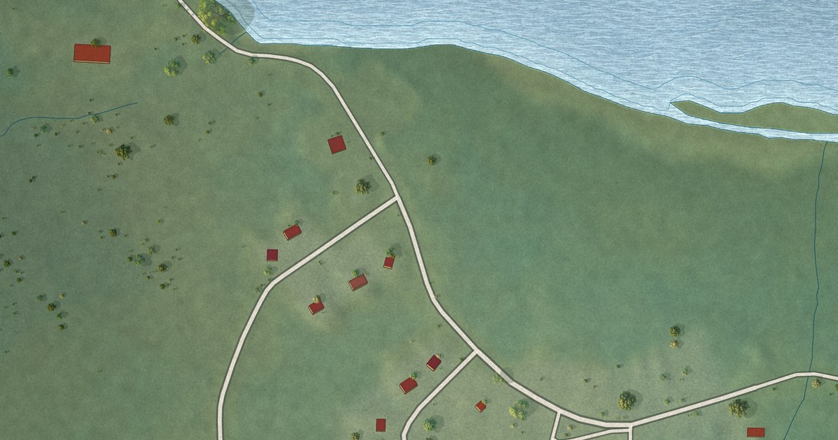
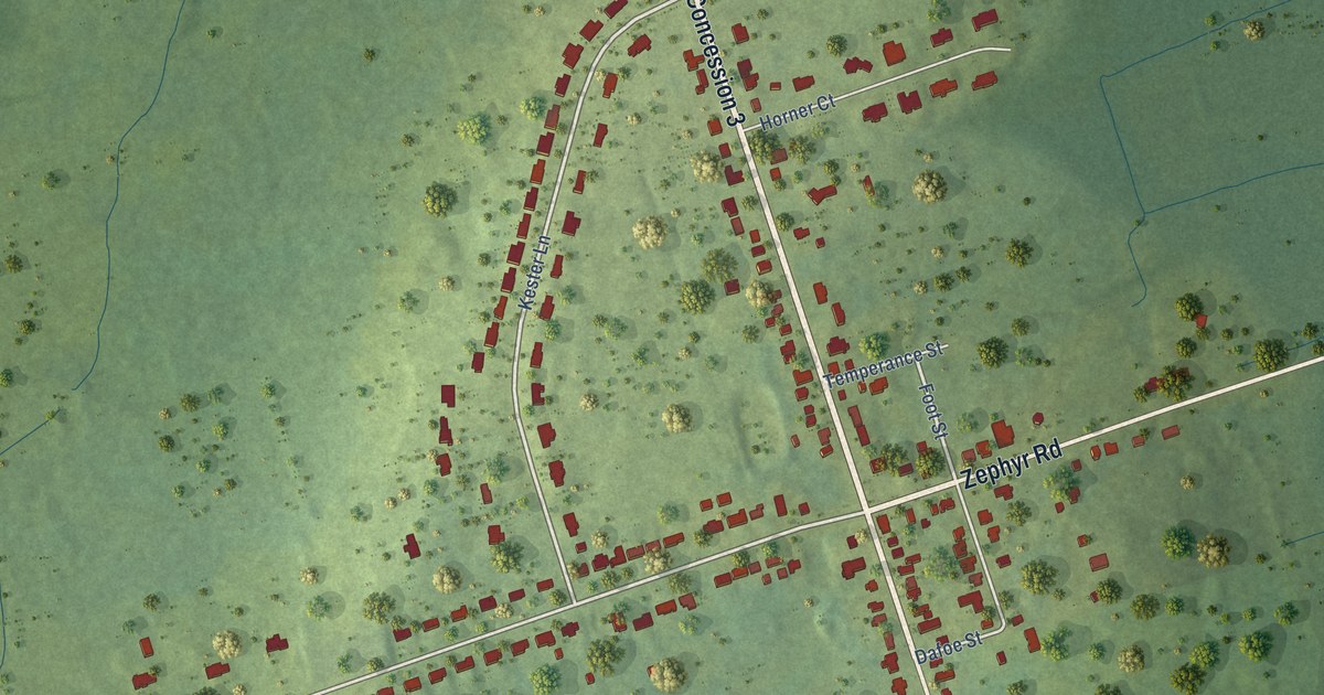
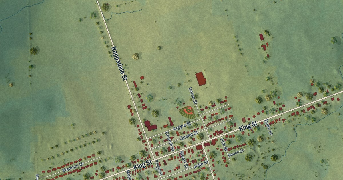
A detailed map of York, Prince Edward Island, showing every building in its true location, the roads by name, and shaded topographical relief.
Read More
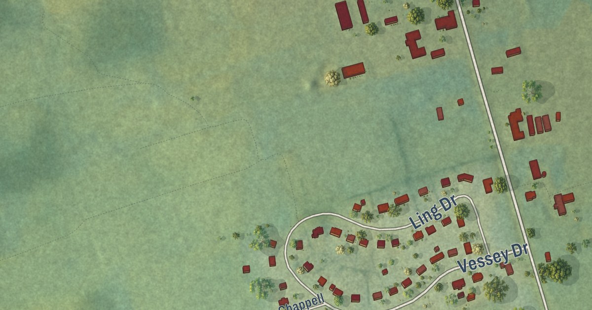
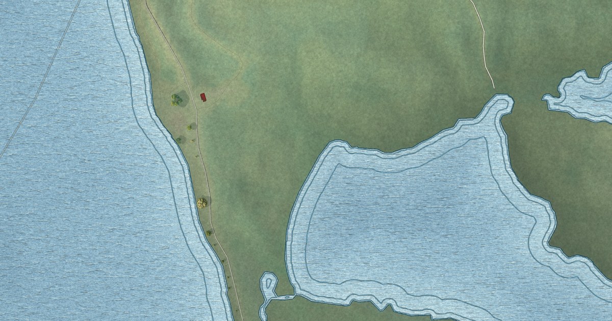
A detailed map of York, Prince Edward Island, showing every building in its true location, the roads by name, and shaded topographical relief.
Read More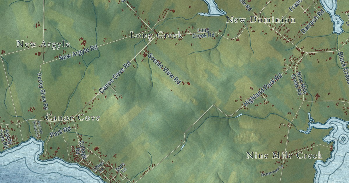
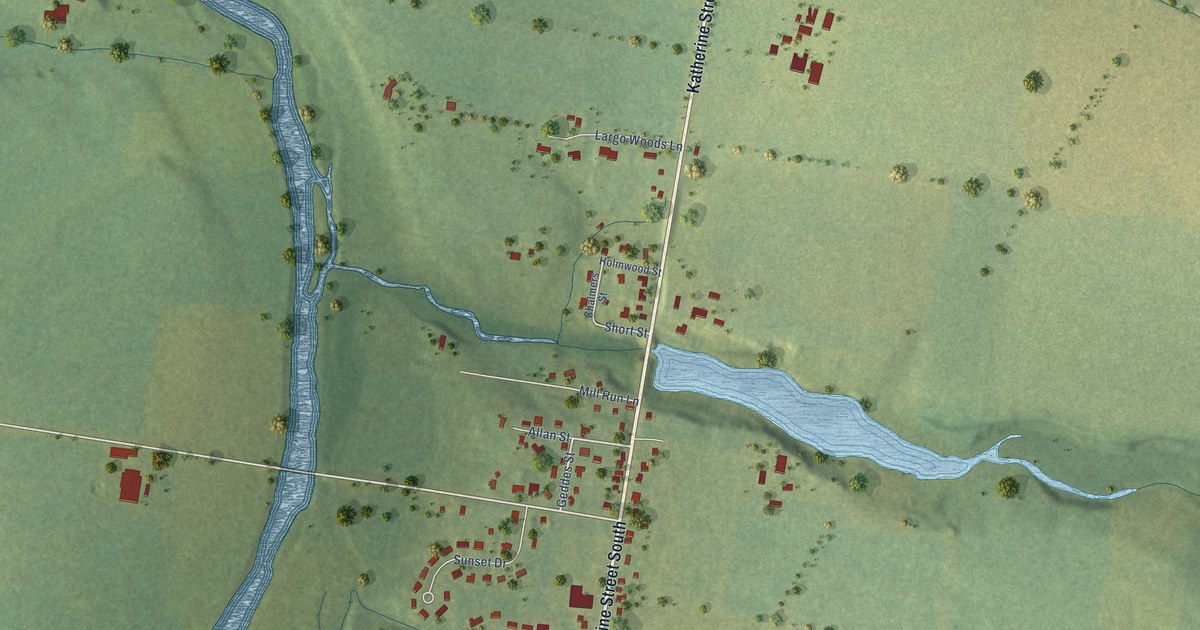
A detailed map of West River, Prince Edward Island, showing every building in its true location, the roads by name, and shaded topographical relief.
Read More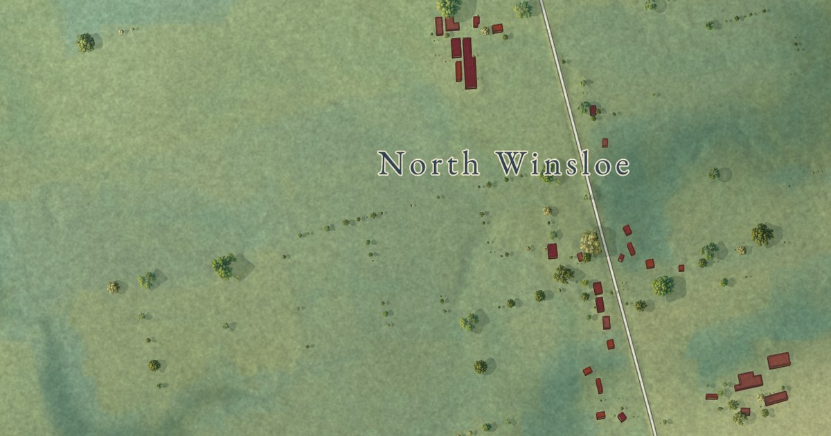
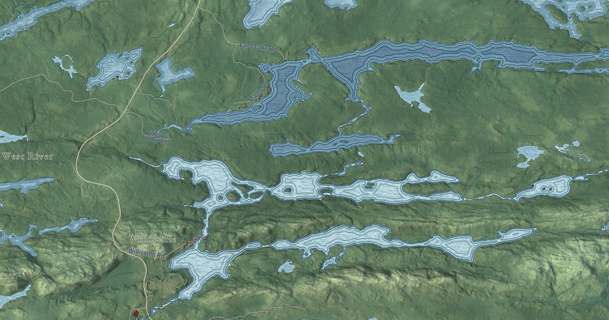
A detailed map of North Winsloe, Prince Edward Island, showing every building in its true location, the roads by name, and shaded topographical relief.
Read More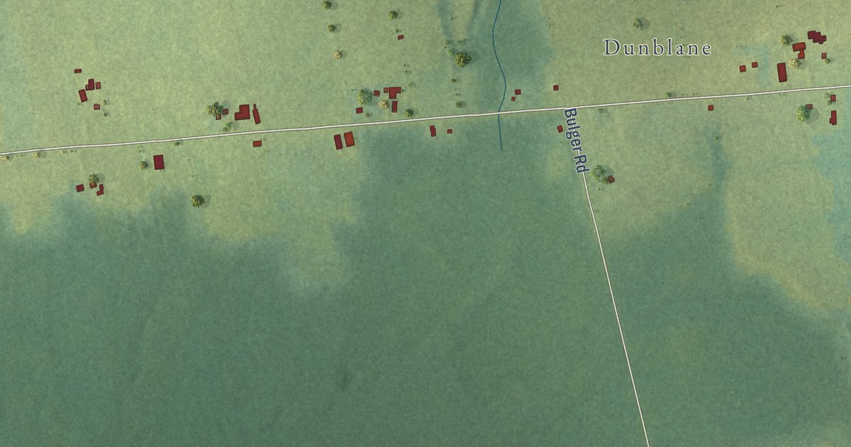
A detailed map of West Point, Prince Edward Island, showing every building in its true location, the roads by name, and shaded topographical relief.
Read More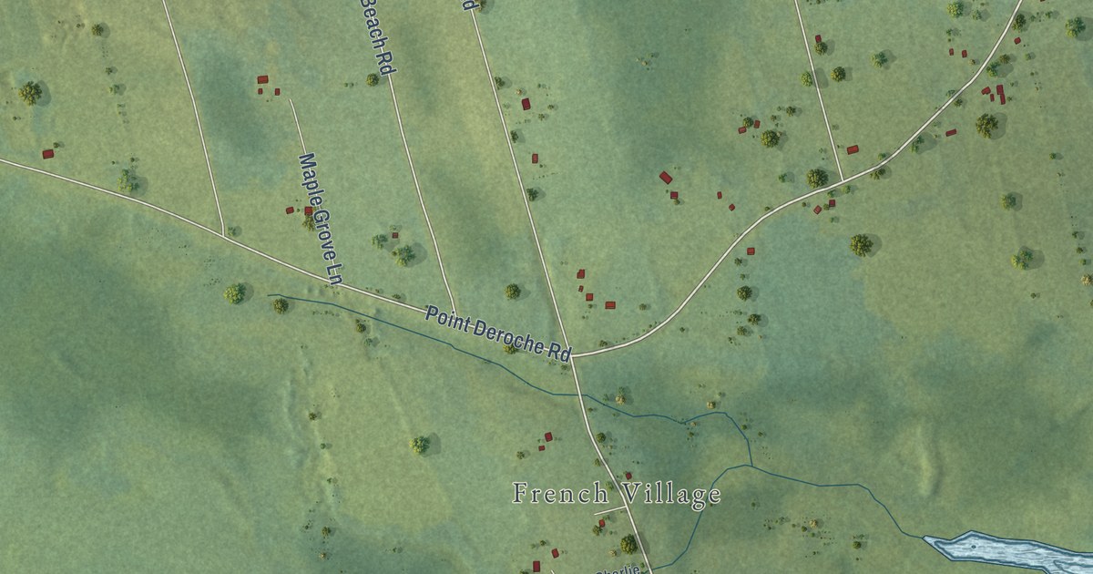
A detailed map of Wild Harbour, Prince Edward Island, showing every building in its true location, the roads by name, and shaded topographical relief.
Read More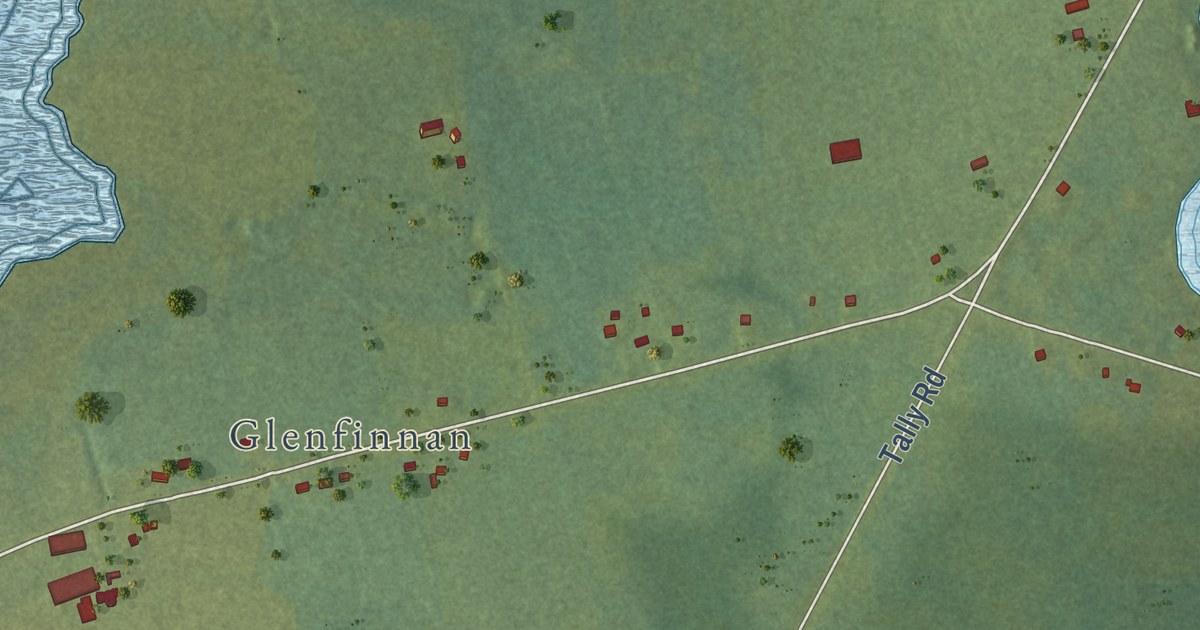
A detailed map of Websters Corner, Prince Edward Island, showing every building in its true location, the roads by name, and shaded topographical relief.
Read More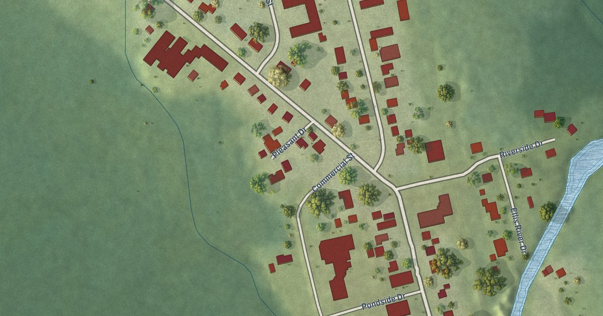
A detailed map of Wellington, Prince Edward Island, showing every building in its true location, the roads by name, and shaded topographical relief.
Read More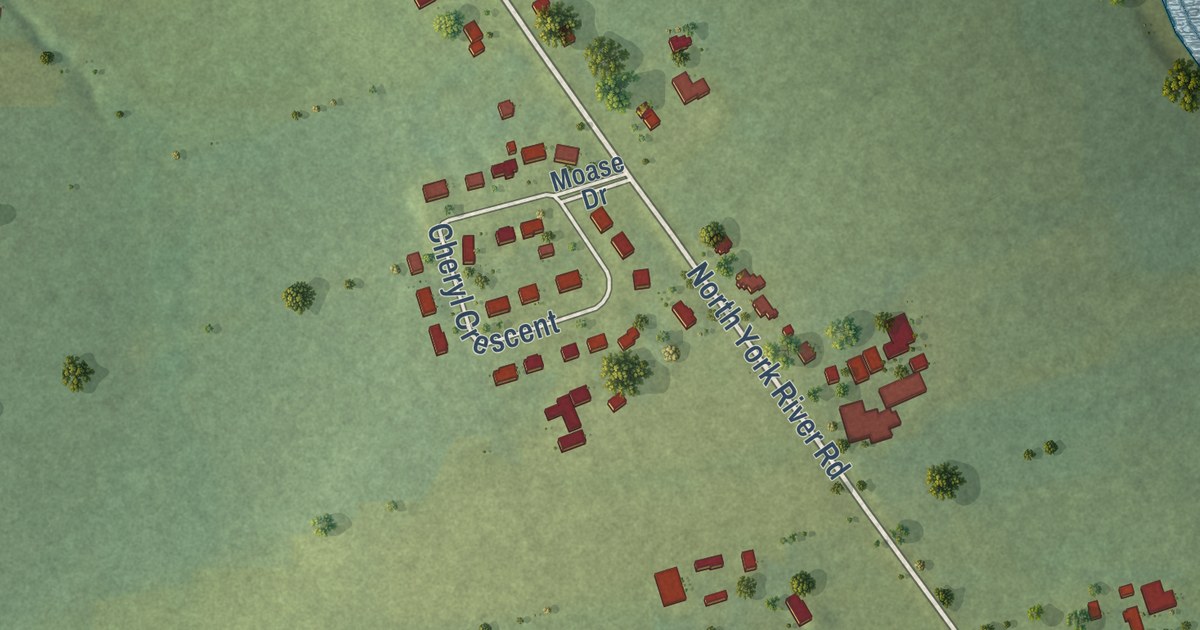
A detailed map of Warren Grove, Prince Edward Island, showing every building in its true location, the roads by name, and shaded topographical relief.
Read More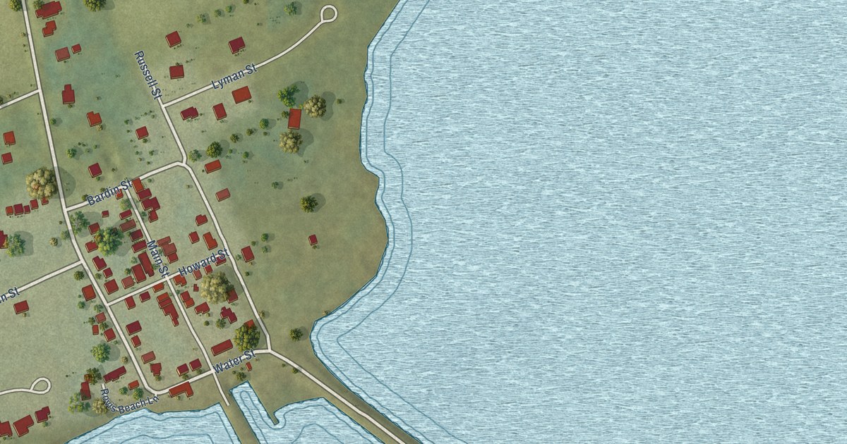
A detailed map of Victoria, Prince Edward Island, showing every building in its true location, the roads by name, and shaded topographical relief.
Read More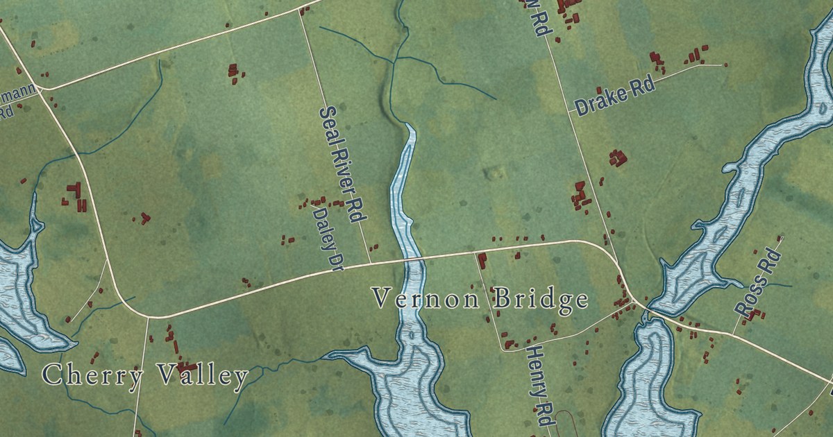
A detailed map of Vernon River, Prince Edward Island, showing every building in its true location, the roads by name, and shaded topographical relief.
Read More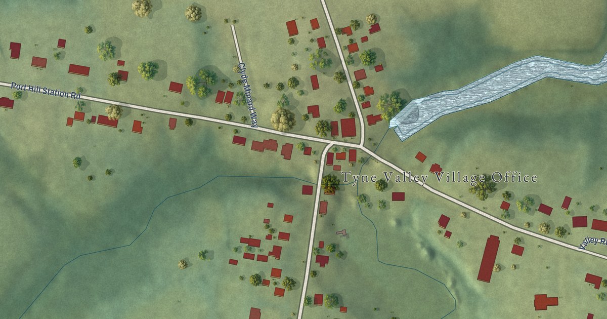
A detailed map of Tyne Valley, Prince Edward Island, showing every building in its true location, the roads by name, and shaded topographical relief.
Read More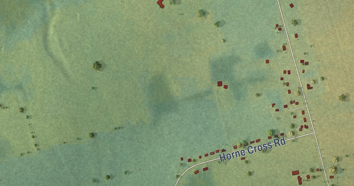
A detailed map of Union Road, Prince Edward Island, showing every building in its true location, the roads by name, and shaded topographical relief.
Read More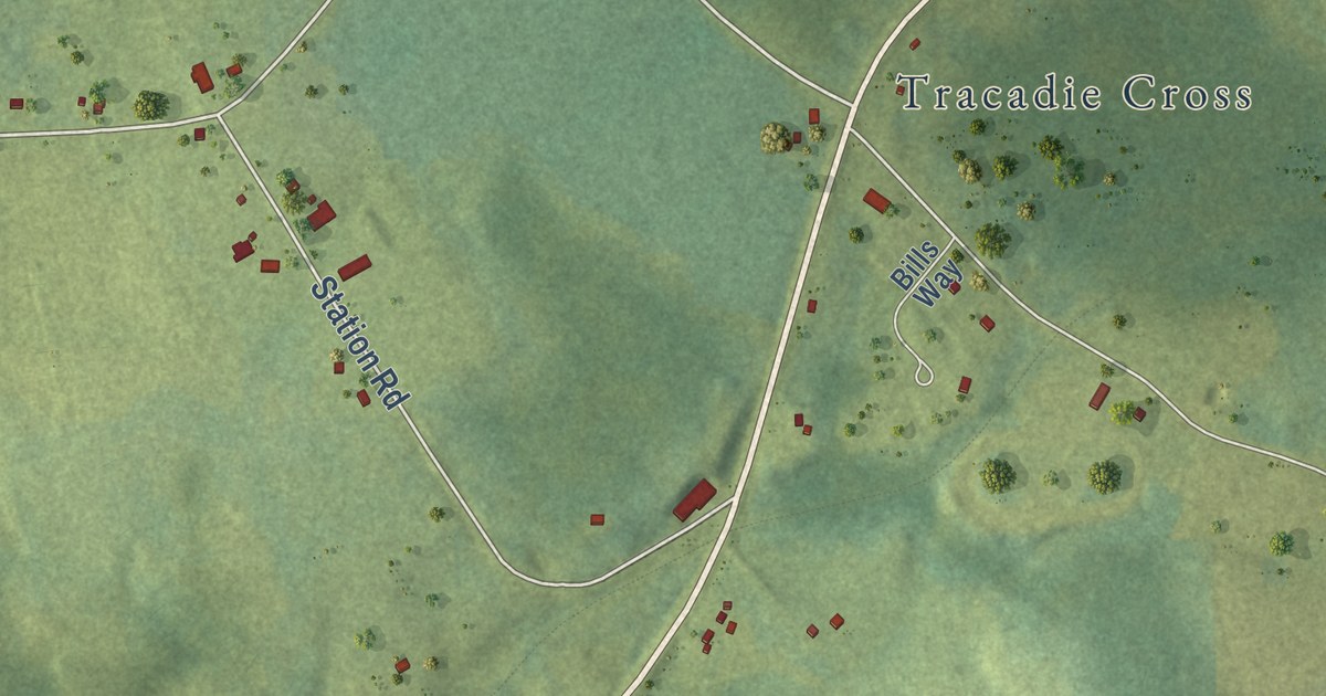
A detailed map of Tracadie, Prince Edward Island, showing every building in its true location, the roads by name, and shaded topographical relief.
Read More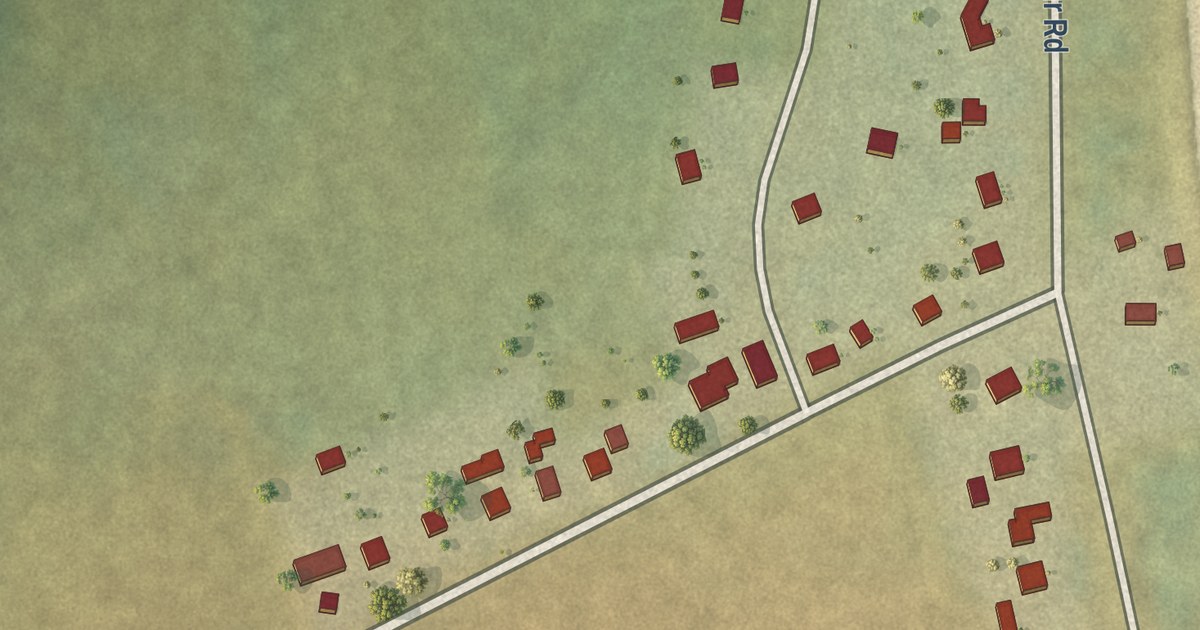
A detailed map of Tignish Shore, Prince Edward Island, showing every building in its true location, the roads by name, and shaded topographical relief.
Read More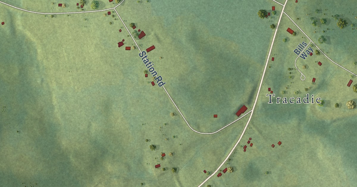
A detailed map of Tracadie Cross, Prince Edward Island, showing every building in its true location, the roads by name, and shaded topographical relief.
Read More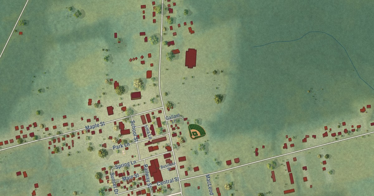
A detailed map of Tignish, Prince Edward Island, showing every building in its true location, the roads by name, and shaded topographical relief.
Read More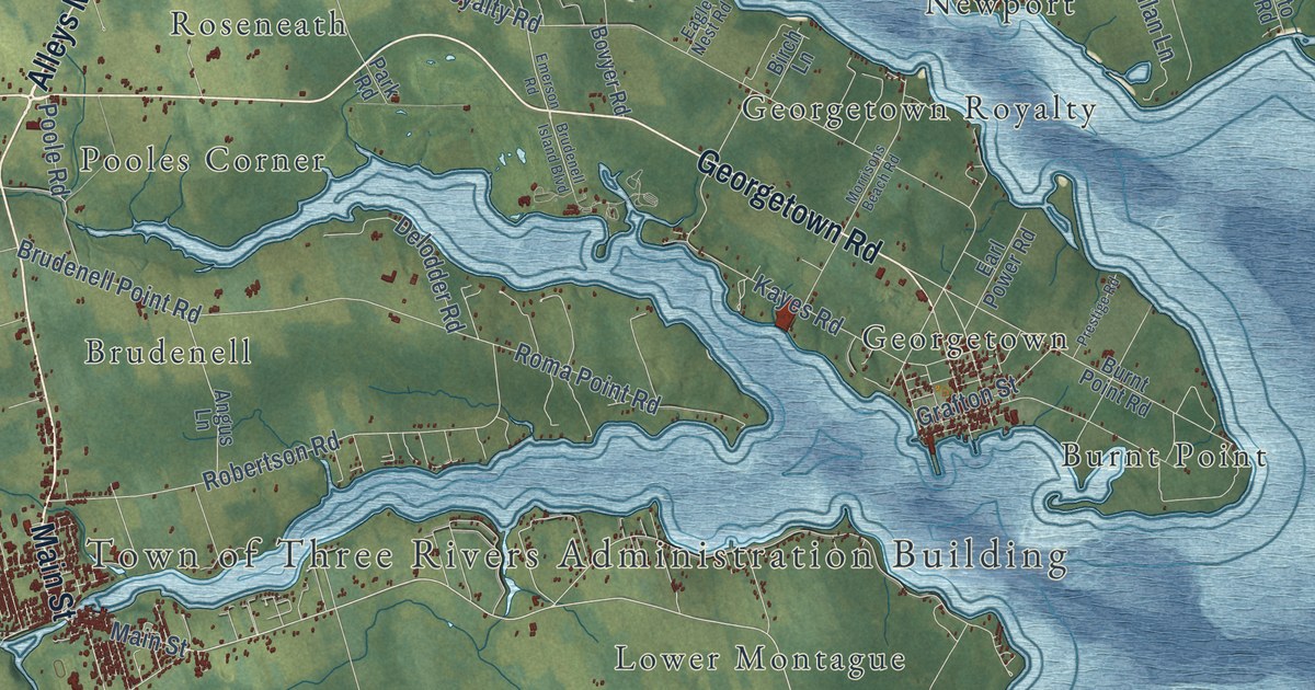
A detailed map of Three Rivers, Prince Edward Island, showing every building in its true location, the roads by name, and shaded topographical relief.
Read More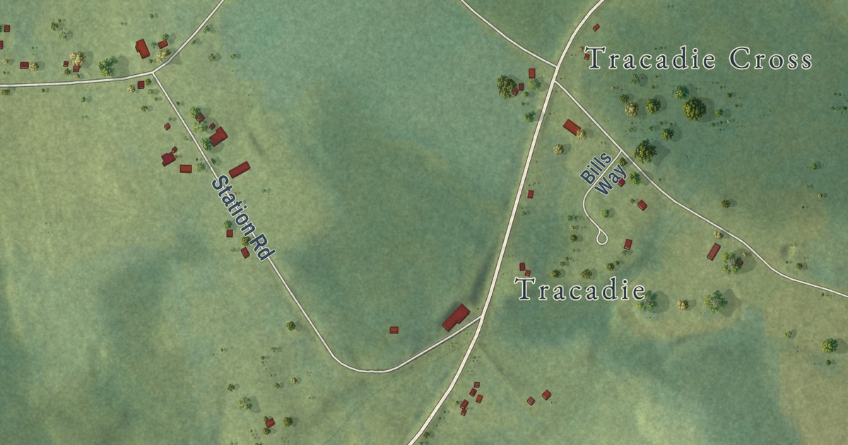
A detailed map of Tenmile House, Prince Edward Island, showing every building in its true location, the roads by name, and shaded topographical relief.
Read More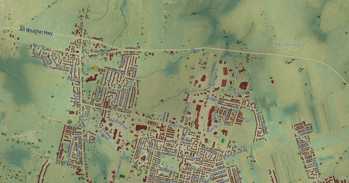
A detailed map of Summerside, Prince Edward Island, showing every building in its true location, the roads by name, and shaded topographical relief.
Read More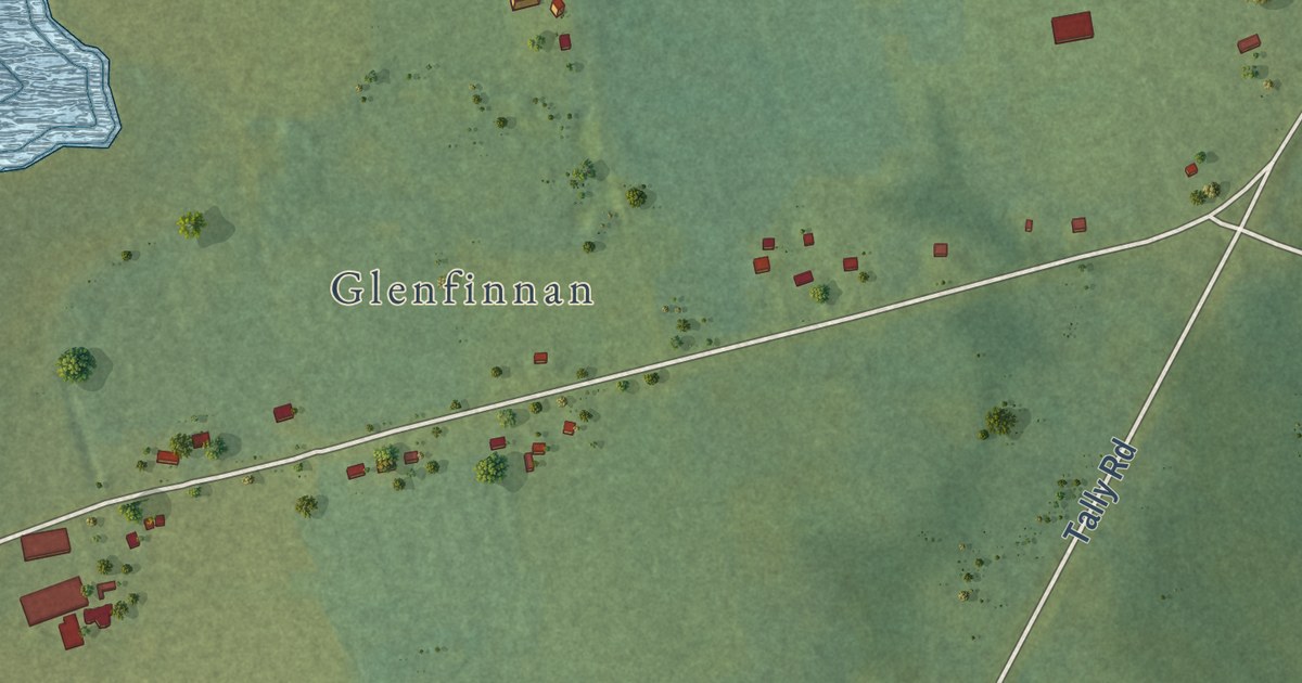
A detailed map of Tarantum, Prince Edward Island, showing every building in its true location, the roads by name, and shaded topographical relief.
Read More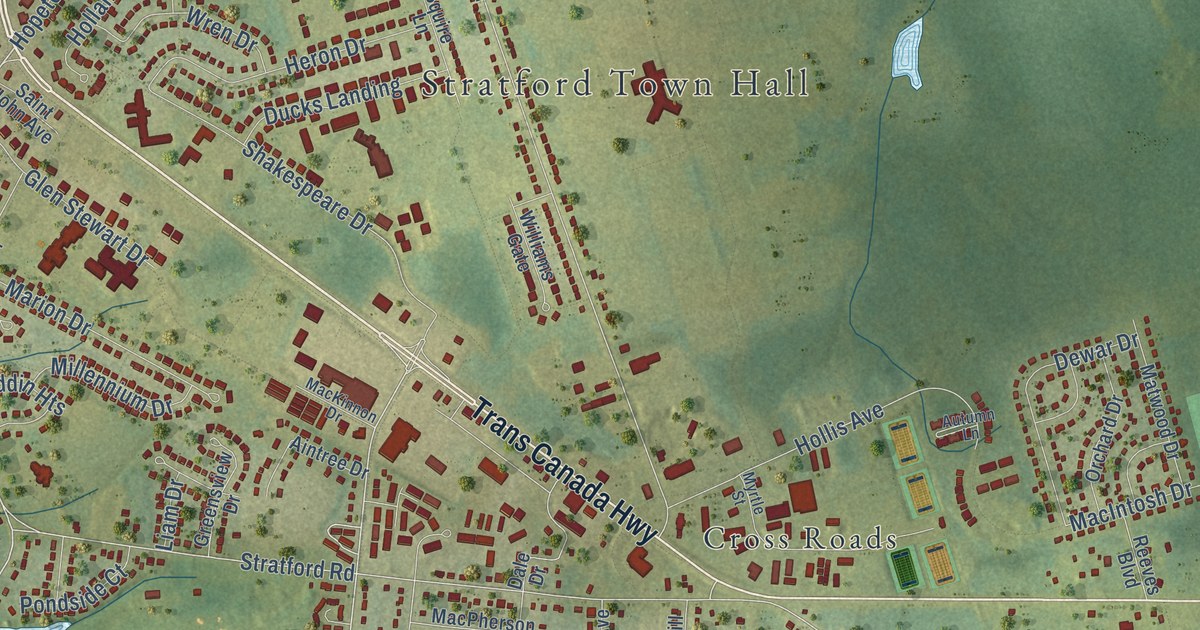
A detailed map of Stratford, Prince Edward Island, showing every building in its true location, the roads by name, and shaded topographical relief.
Read More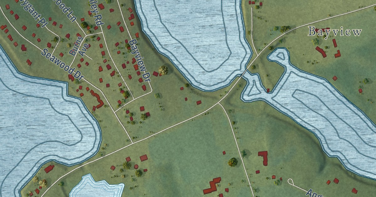
A detailed map of Stanley Bridge, Prince Edward Island, showing every building in its true location, the roads by name, and shaded topographical relief.
Read More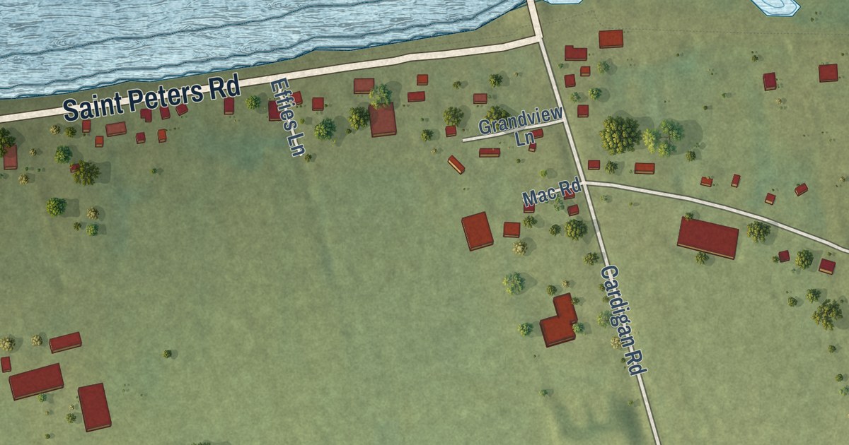
A detailed map of St. Peters Bay, Prince Edward Island, showing every building in its true location, the roads by name, and shaded topographical relief.
Read More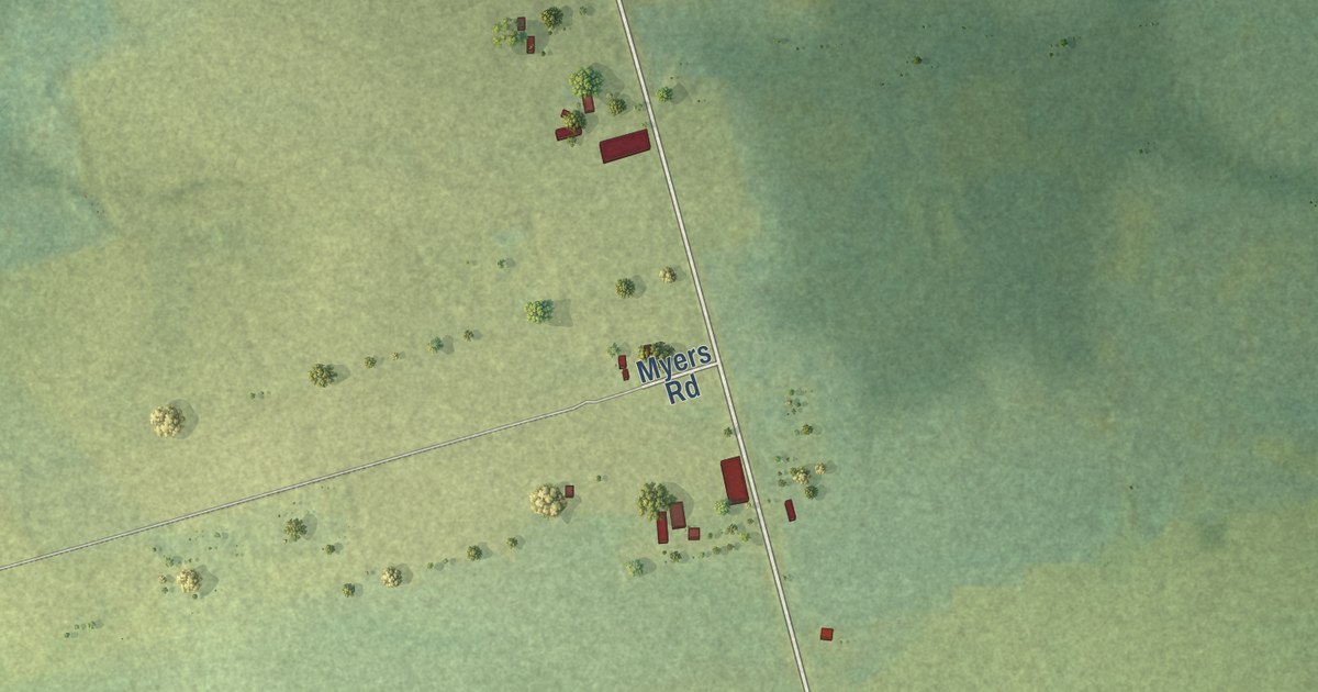
A detailed map of St. Patrick Road, Prince Edward Island, showing every building in its true location, the roads by name, and shaded topographical relief.
Read More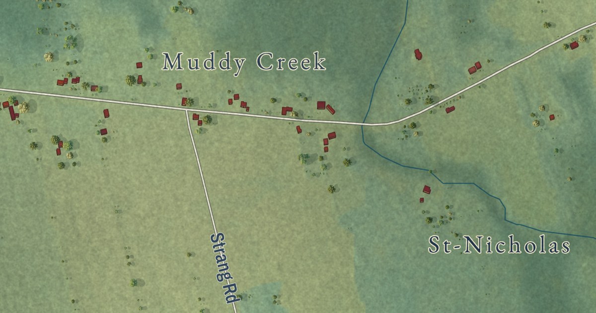
A detailed map of St. Nicholas, Prince Edward Island, showing every building in its true location, the roads by name, and shaded topographical relief.
Read More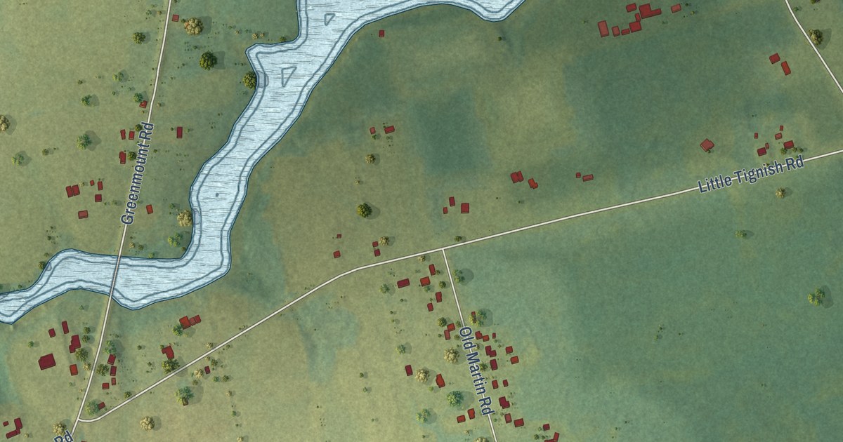
A detailed map of St. Felix, Prince Edward Island, showing every building in its true location, the roads by name, and shaded topographical relief.
Read More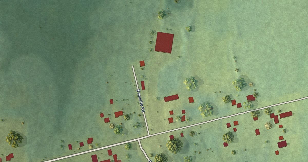
A detailed map of St. Louis, Prince Edward Island, showing every building in its true location, the roads by name, and shaded topographical relief.
Read More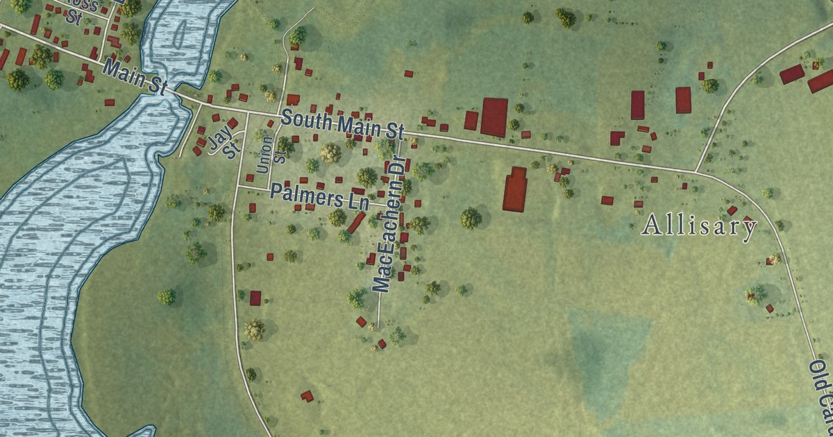
A detailed map of St. Andrews, Prince Edward Island, showing every building in its true location, the roads by name, and shaded topographical relief.
Read More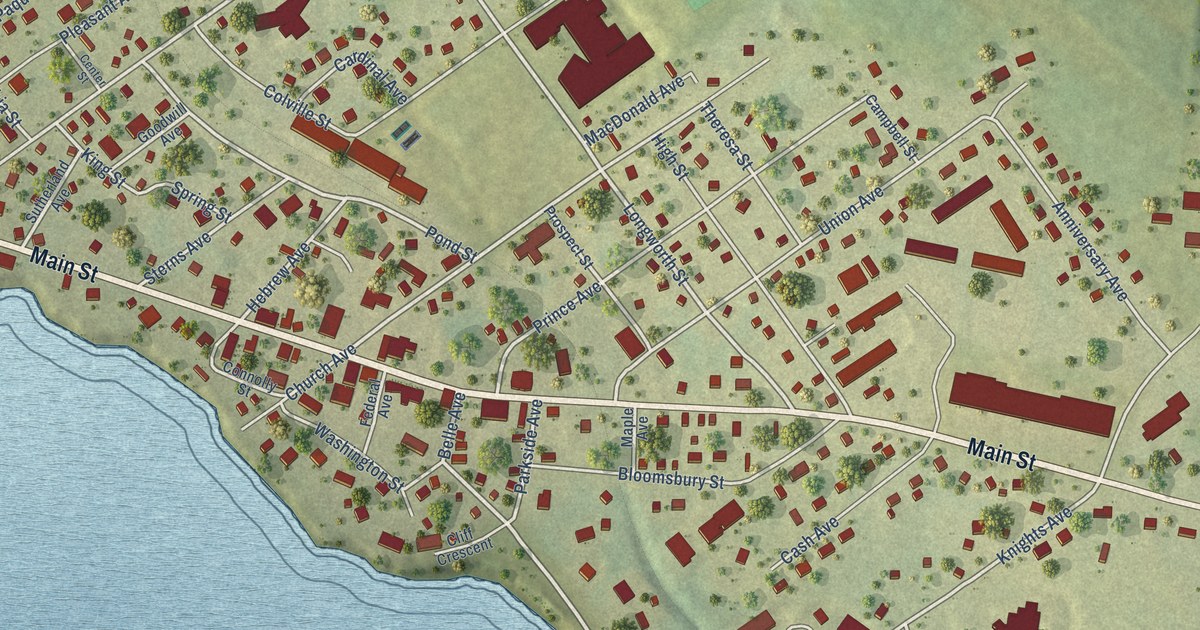
A detailed map of Souris, Prince Edward Island, showing every building in its true location, the roads by name, and shaded topographical relief.
Read More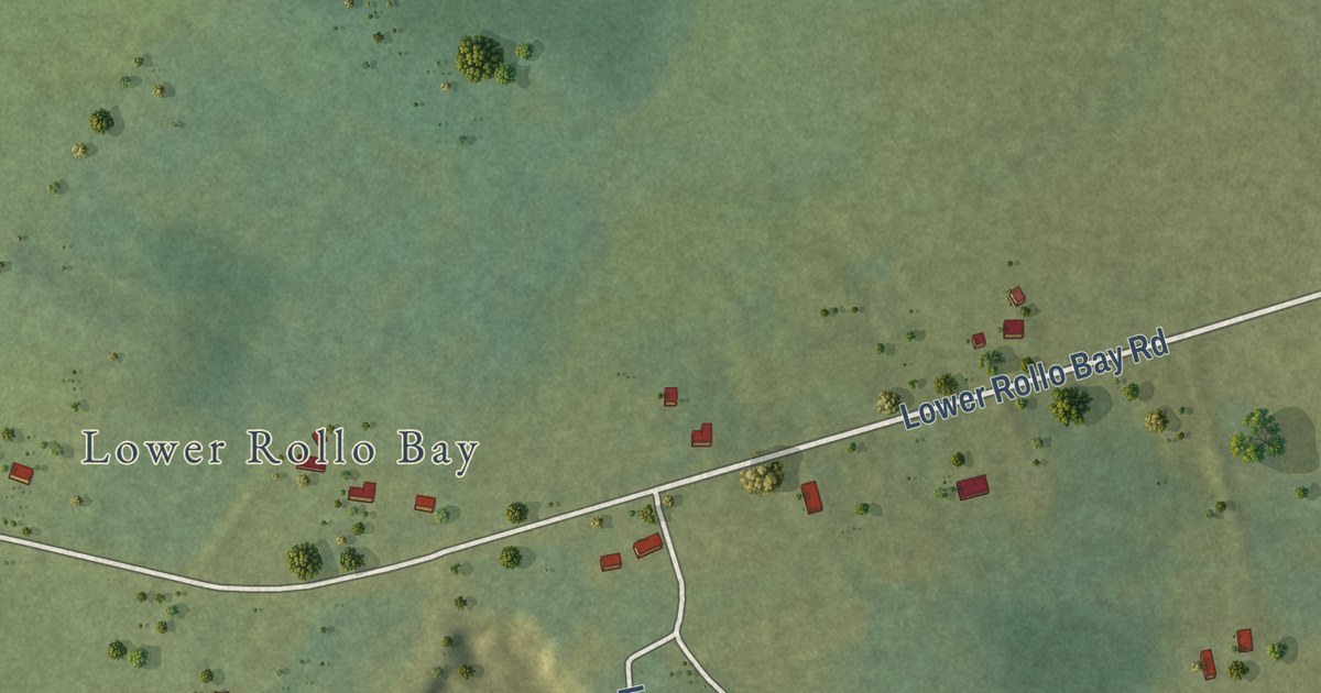
A detailed map of Souris West, Prince Edward Island, showing every building in its true location, the roads by name, and shaded topographical relief.
Read More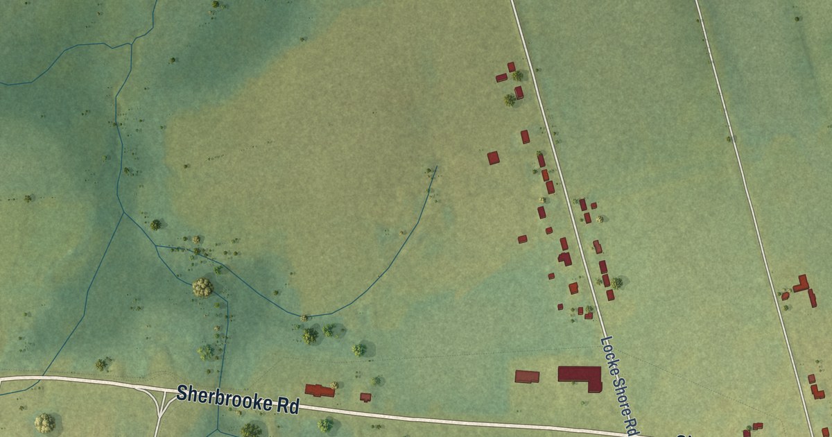
A detailed map of Sherbrooke, Prince Edward Island, showing every building in its true location, the roads by name, and shaded topographical relief.
Read More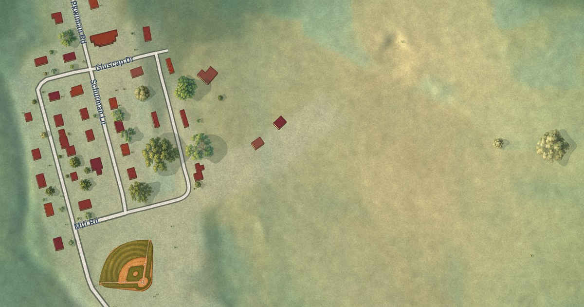
A detailed map of Scotchfort, Prince Edward Island, showing every building in its true location, the roads by name, and shaded topographical relief.
Read More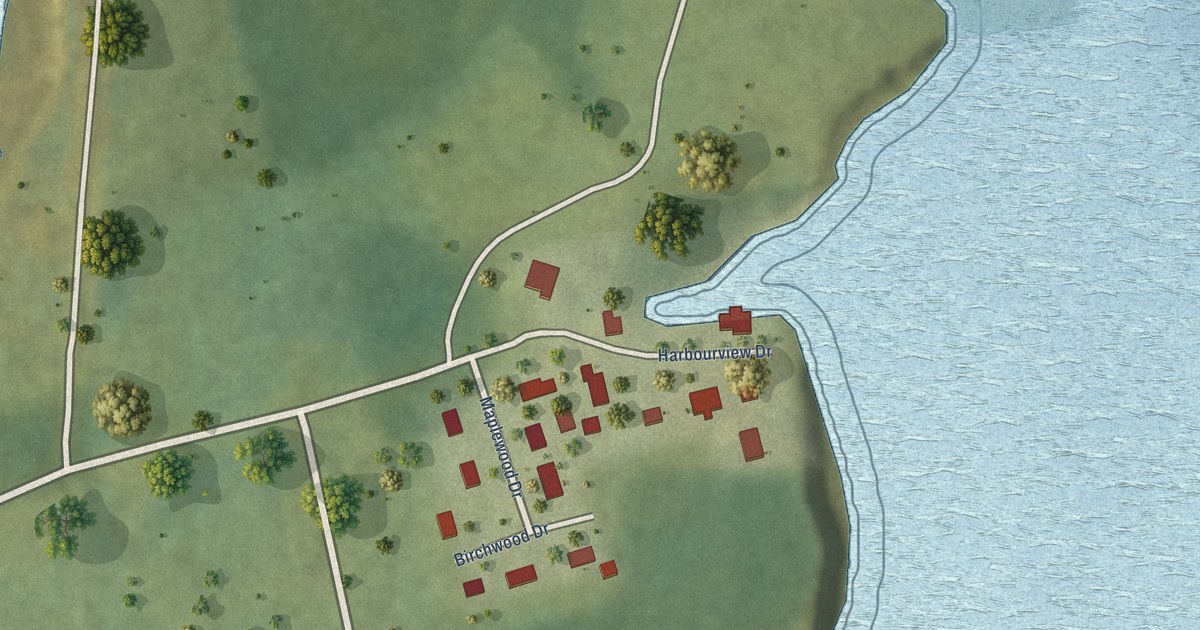
A detailed map of Rocky Point, Prince Edward Island, showing every building in its true location, the roads by name, and shaded topographical relief.
Read More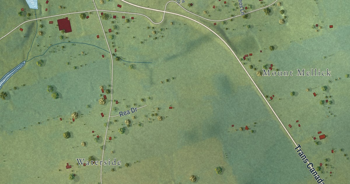
A detailed map of Pownal, Prince Edward Island, showing every building in its true location, the roads by name, and shaded topographical relief.
Read More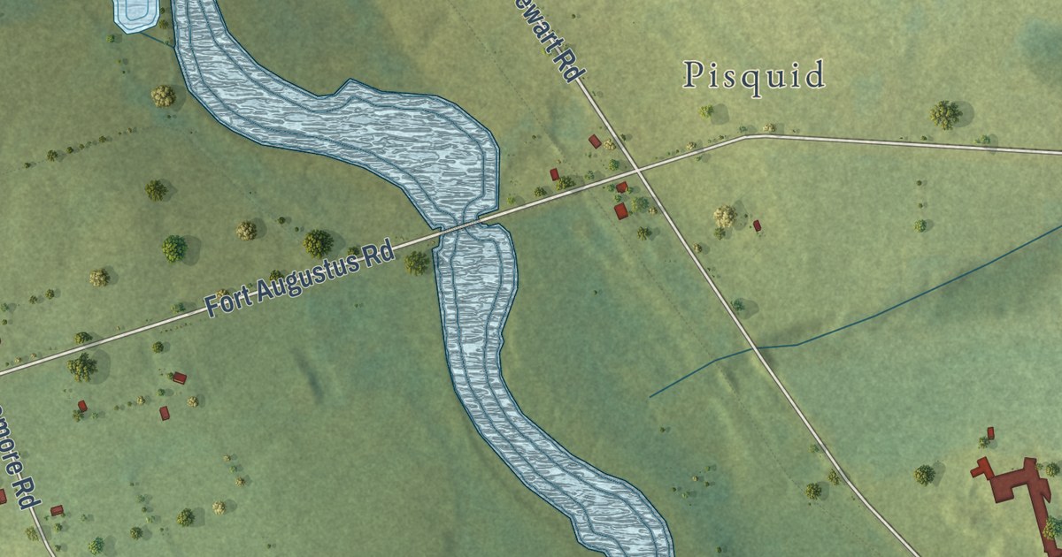
A detailed map of Pisquid West, Prince Edward Island, showing every building in its true location, the roads by name, and shaded topographical relief.
Read More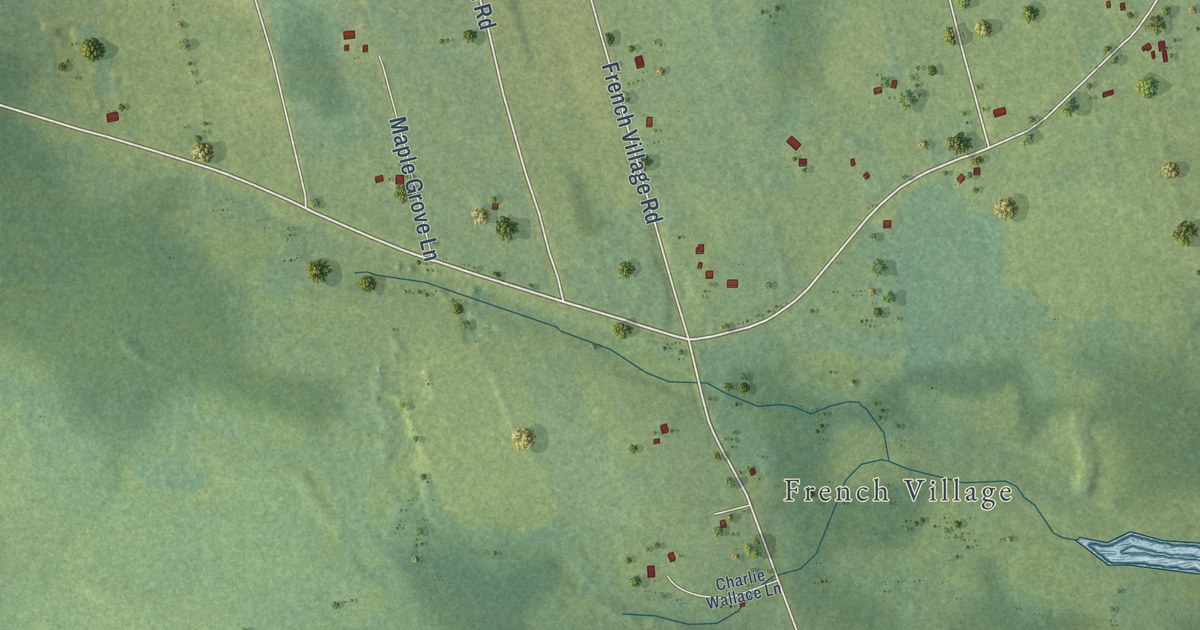
A detailed map of Point Deroche, Prince Edward Island, showing every building in its true location, the roads by name, and shaded topographical relief.
Read More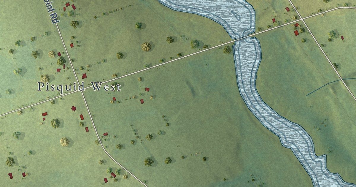
A detailed map of Pisquid, Prince Edward Island, showing every building in its true location, the roads by name, and shaded topographical relief.
Read More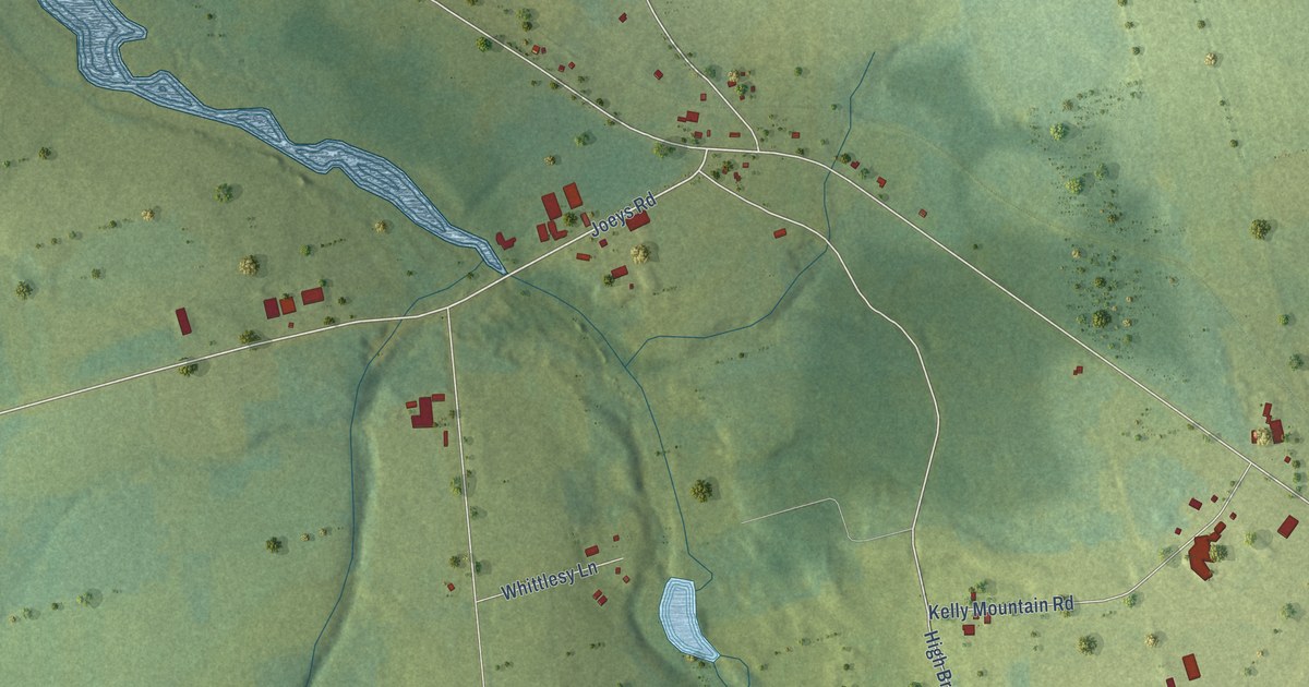
A detailed map of Pisquid East, Prince Edward Island, showing every building in its true location, the roads by name, and shaded topographical relief.
Read More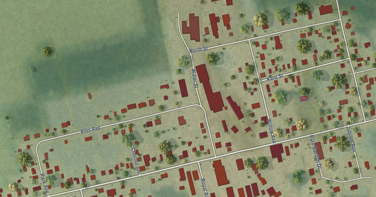
A detailed map of O’Leary, Prince Edward Island, showing every building in its true location, the roads by name, and shaded topographical relief.
Read More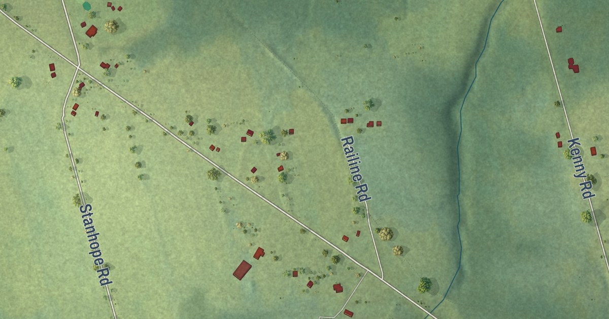
A detailed map of Peakes, Prince Edward Island, showing every building in its true location, the roads by name, and shaded topographical relief.
Read More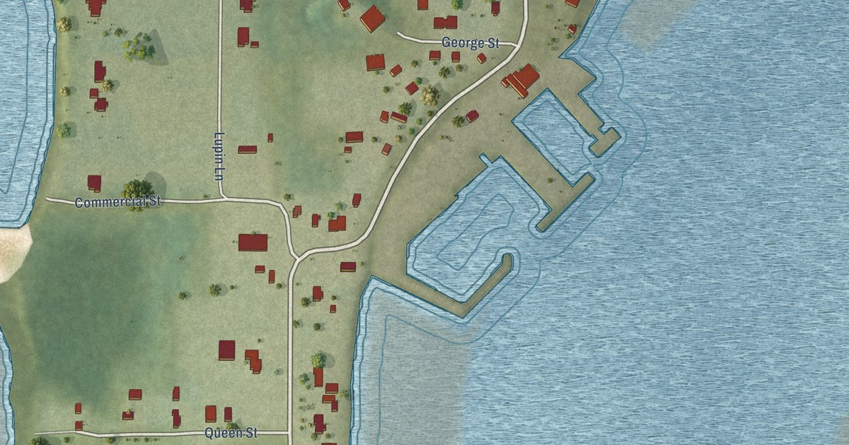
A detailed map of Northport, Prince Edward Island, showing every building in its true location, the roads by name, and shaded topographical relief.
Read More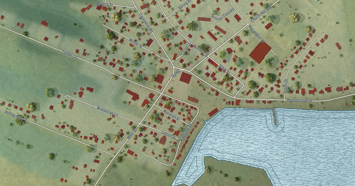
A detailed map of North Rustico, Prince Edward Island, showing every building in its true location, the roads by name, and shaded topographical relief.
Read More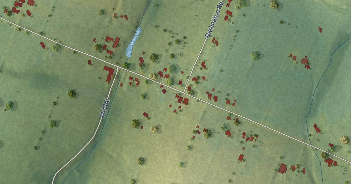
A detailed map of North Wiltshire, Prince Edward Island, showing every building in its true location, the roads by name, and shaded topographical relief.
Read More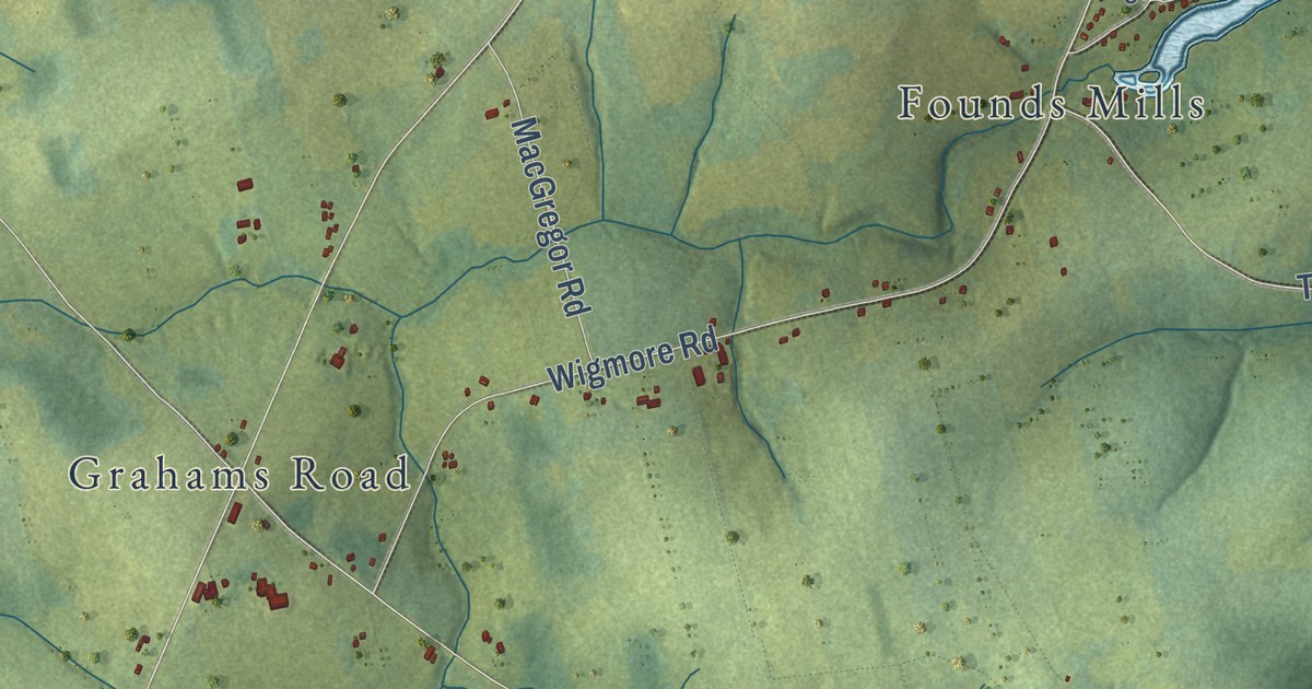
A detailed map of New London, Prince Edward Island, showing every building in its true location, the roads by name, and shaded topographical relief.
Read More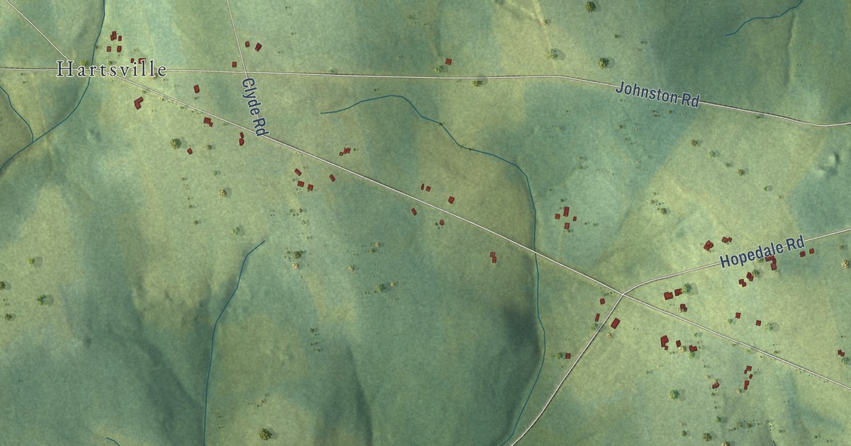
A detailed map of North River, Prince Edward Island, showing every building in its true location, the roads by name, and shaded topographical relief.
Read More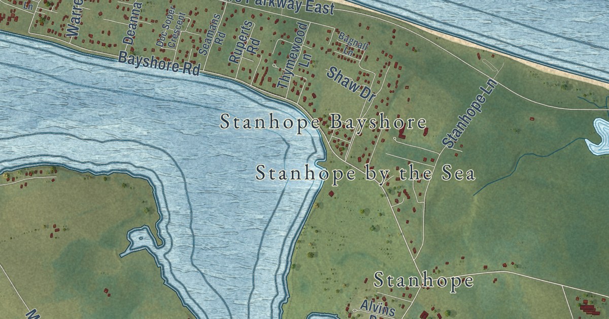
A detailed map of North Shore, Prince Edward Island, showing every building in its true location, the roads by name, and shaded topographical relief.
Read More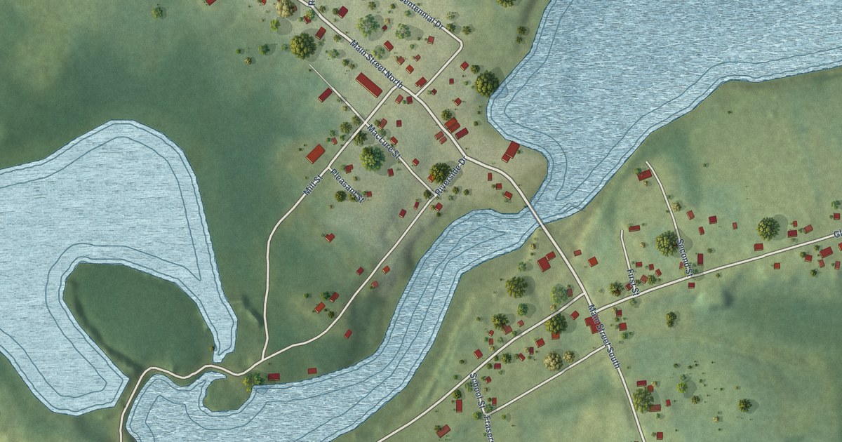
A detailed map of Murray River, Prince Edward Island, showing every building in its true location, the roads by name, and shaded topographical relief.
Read More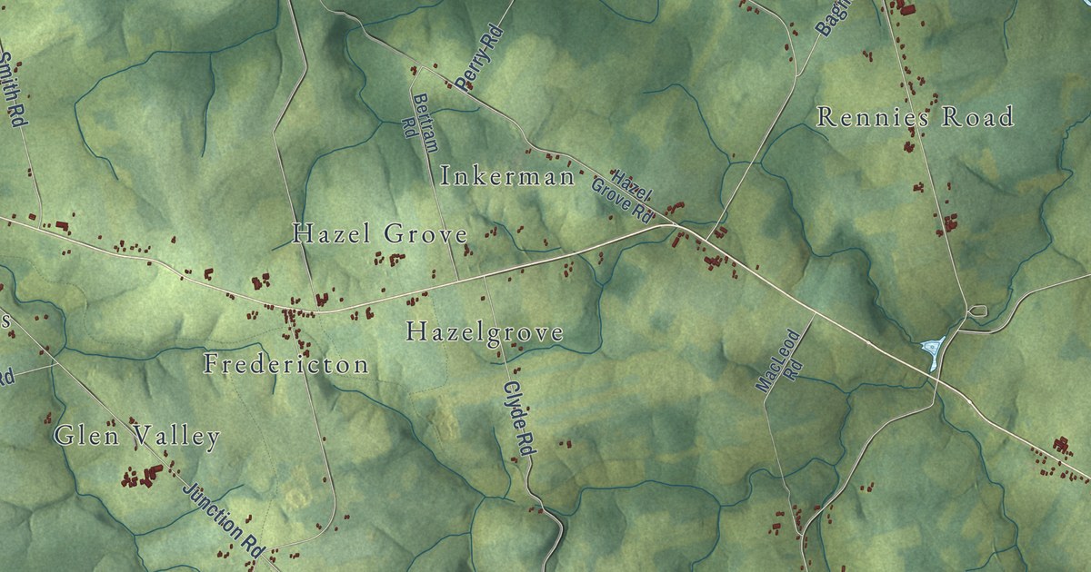
A detailed map of New Glasgow, Prince Edward Island, showing every building in its true location, the roads by name, and shaded topographical relief.
Read More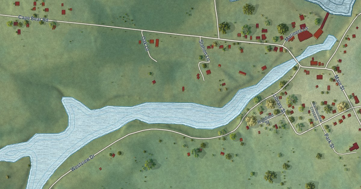
A detailed map of Murray Harbour, Prince Edward Island, showing every building in its true location, the roads by name, and shaded topographical relief.
Read More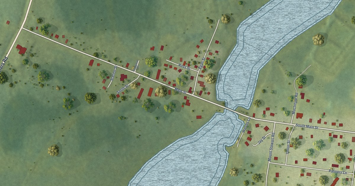
A detailed map of Mount Stewart, Prince Edward Island, showing every building in its true location, the roads by name, and shaded topographical relief.
Read More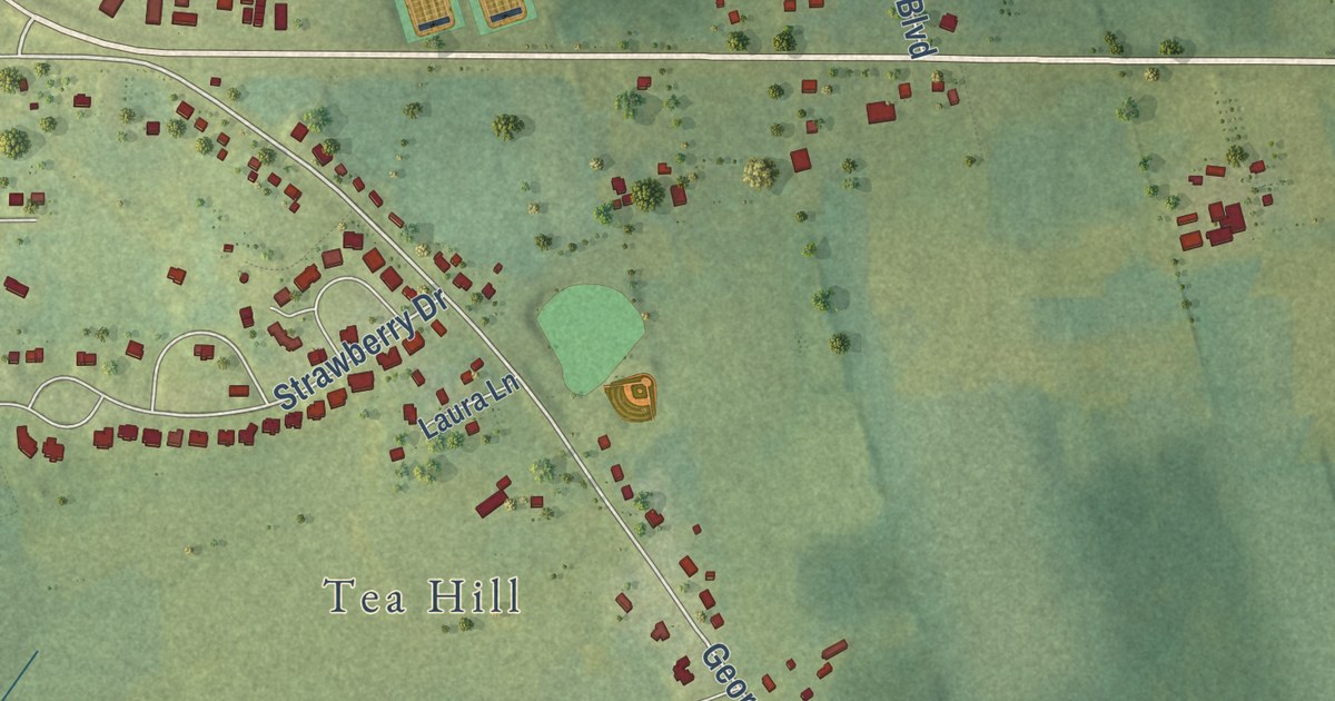
A detailed map of Mount Herbert, Prince Edward Island, showing every building in its true location, the roads by name, and shaded topographical relief.
Read More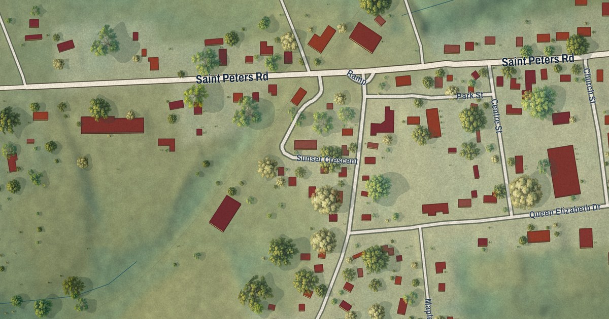
A detailed map of Morell, Prince Edward Island, showing every building in its true location, the roads by name, and shaded topographical relief.
Read More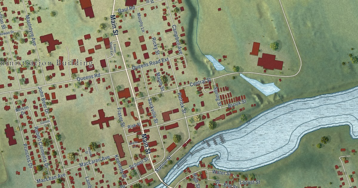
A detailed map of Montague, Prince Edward Island, showing every building in its true location, the roads by name, and shaded topographical relief.
Read More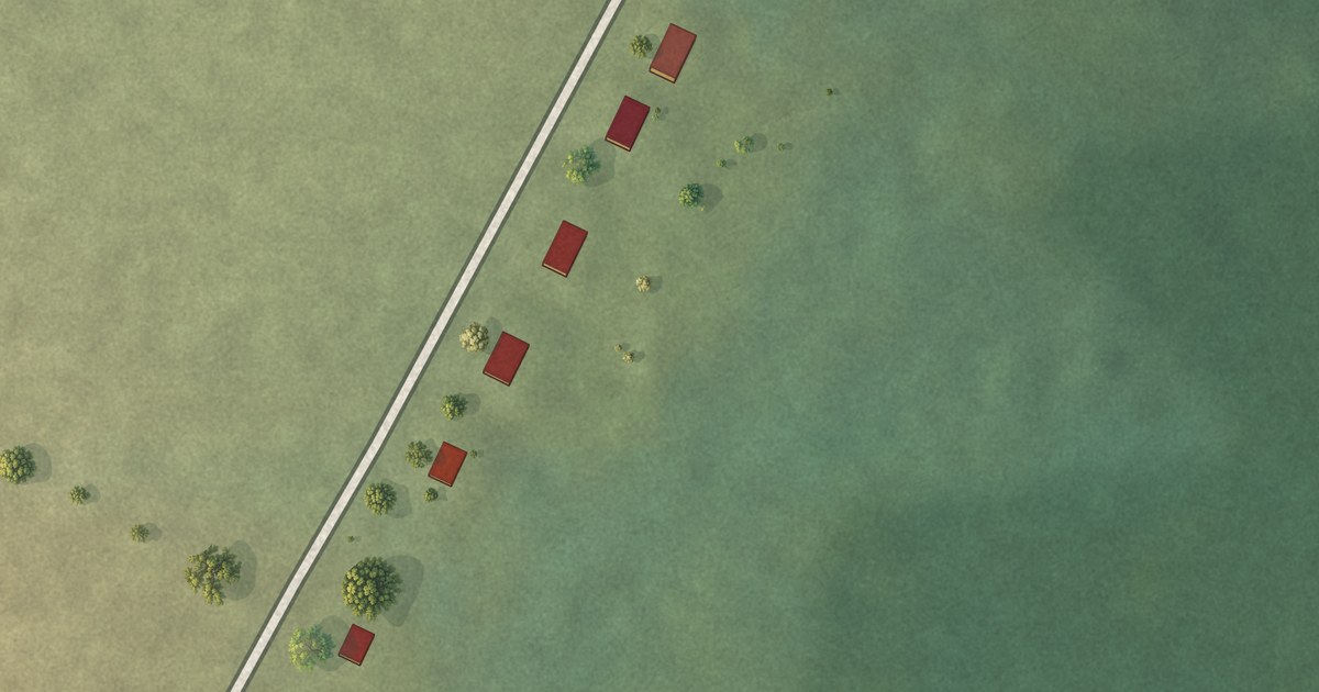
A detailed map of Morell (Abegweit First Nation), Prince Edward Island, showing every building in its true location, the roads by name, and shaded topographical relief.
Read More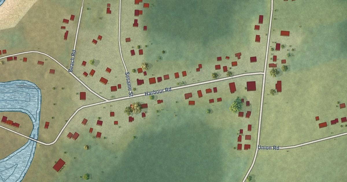
A detailed map of Miminegash, Prince Edward Island, showing every building in its true location, the roads by name, and shaded topographical relief.
Read More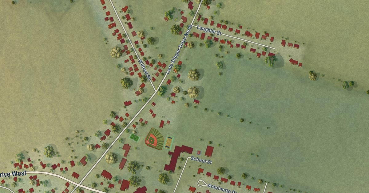
A detailed map of Miscouche, Prince Edward Island, showing every building in its true location, the roads by name, and shaded topographical relief.
Read More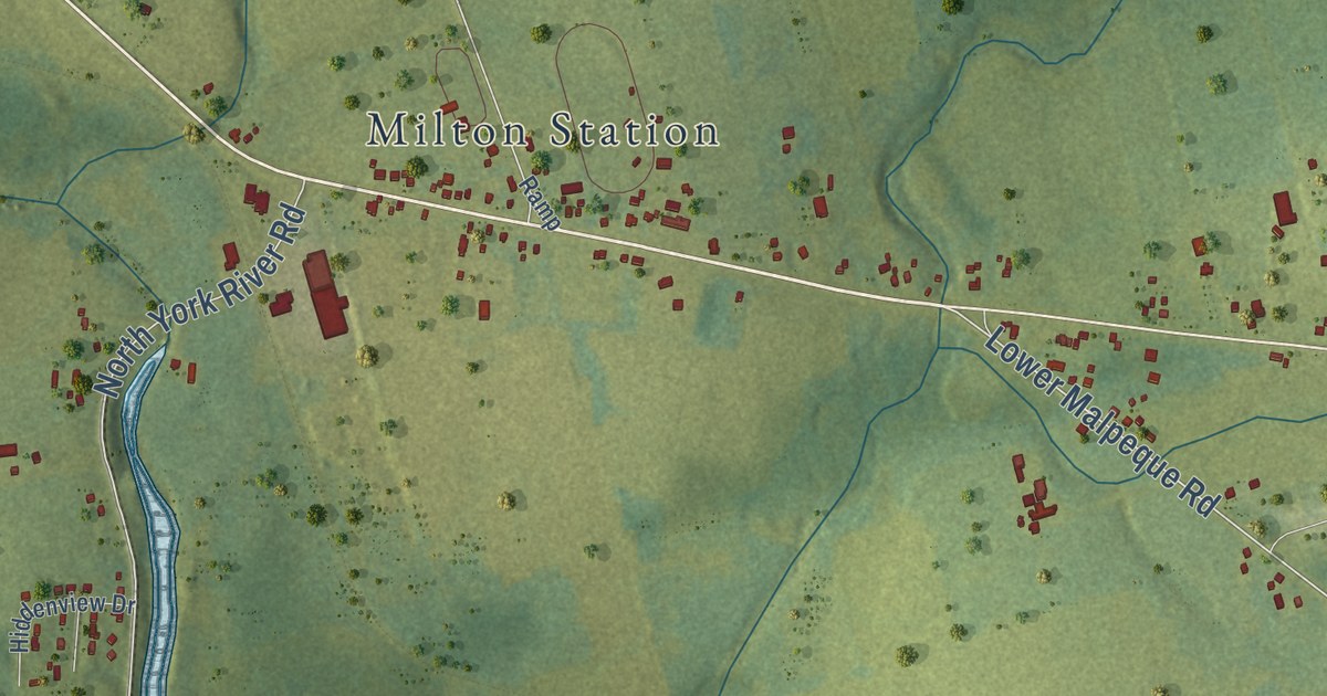
A detailed map of Miltonvale Park, Prince Edward Island, showing every building in its true location, the roads by name, and shaded topographical relief.
Read More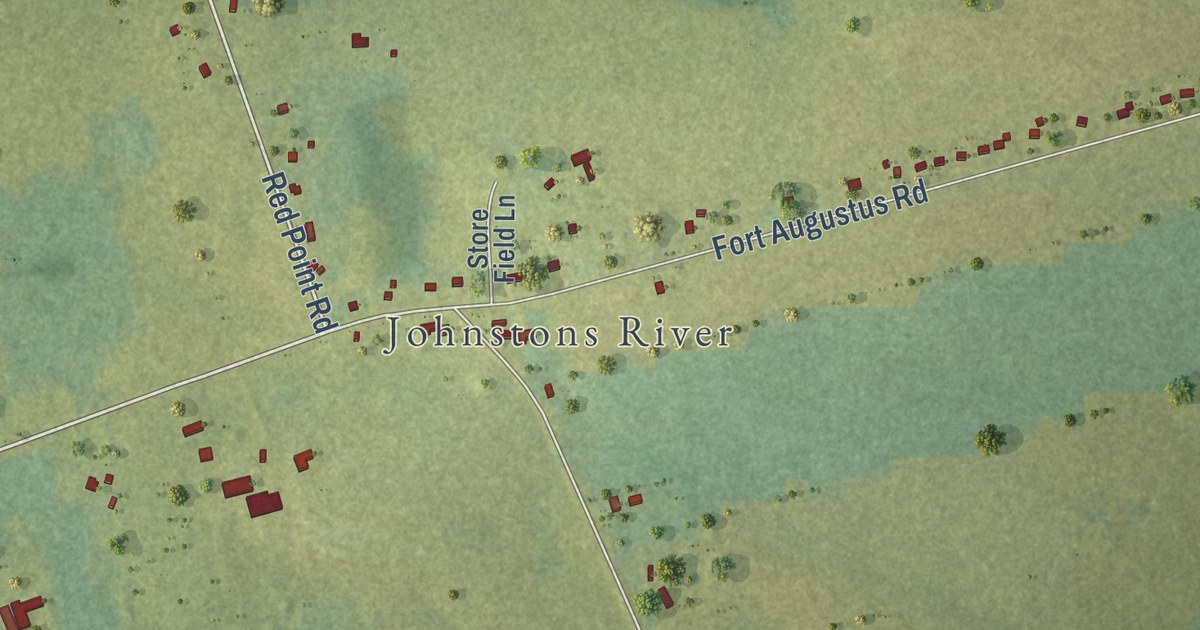
A detailed map of Mermaid, Prince Edward Island, showing every building in its true location, the roads by name, and shaded topographical relief.
Read More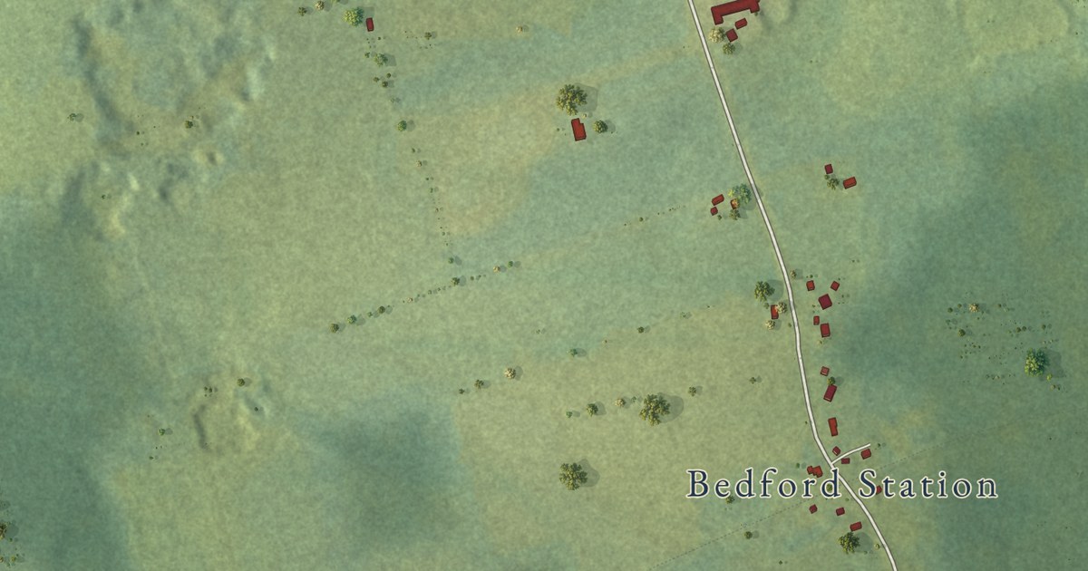
A detailed map of Millcove, Prince Edward Island, showing every building in its true location, the roads by name, and shaded topographical relief.
Read More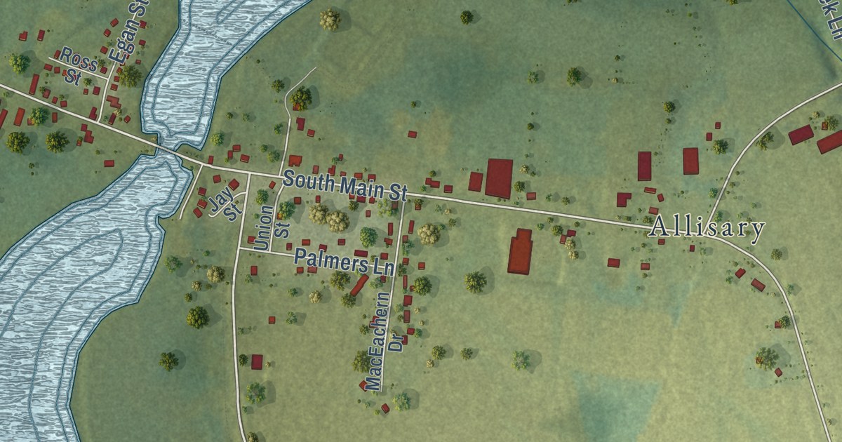
A detailed map of Maple Hill, Prince Edward Island, showing every building in its true location, the roads by name, and shaded topographical relief.
Read More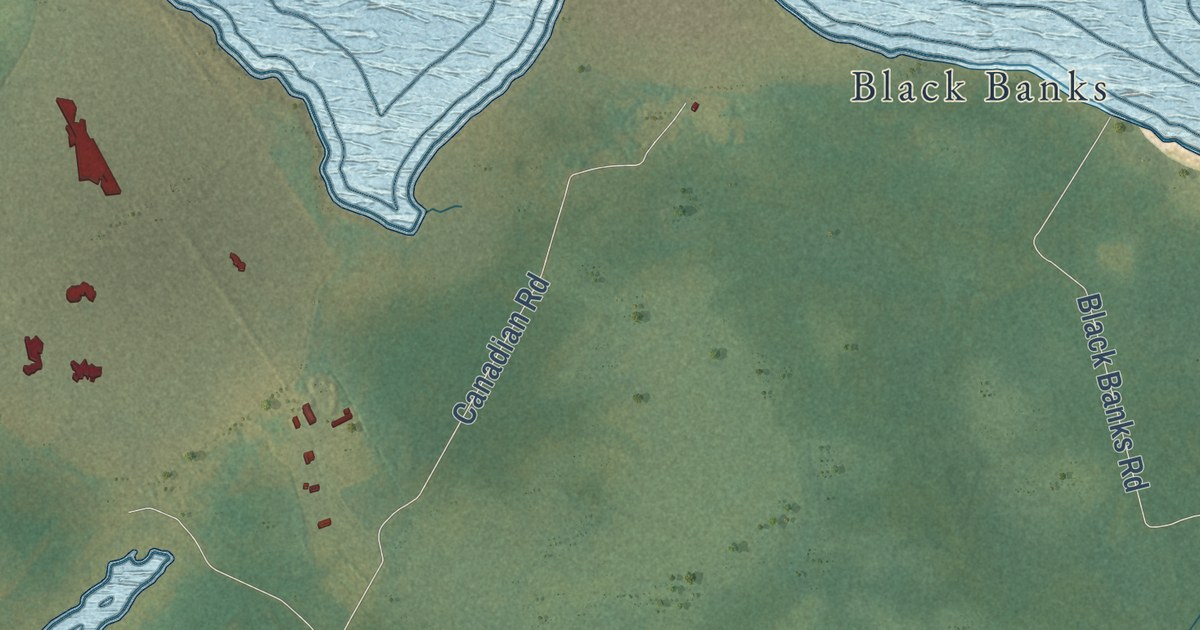
A detailed map of Lot 11 and Area, Prince Edward Island, showing every building in its true location, the roads by name, and shaded topographical relief.
Read More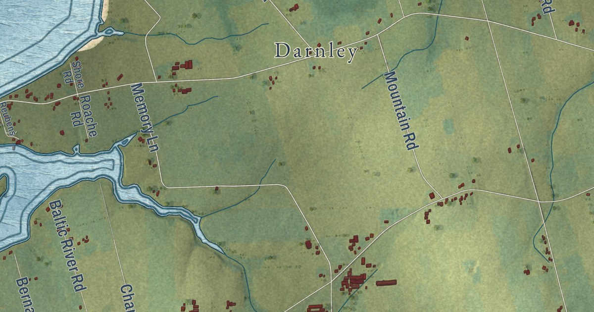
A detailed map of Malpeque Bay, Prince Edward Island, showing every building in its true location, the roads by name, and shaded topographical relief.
Read More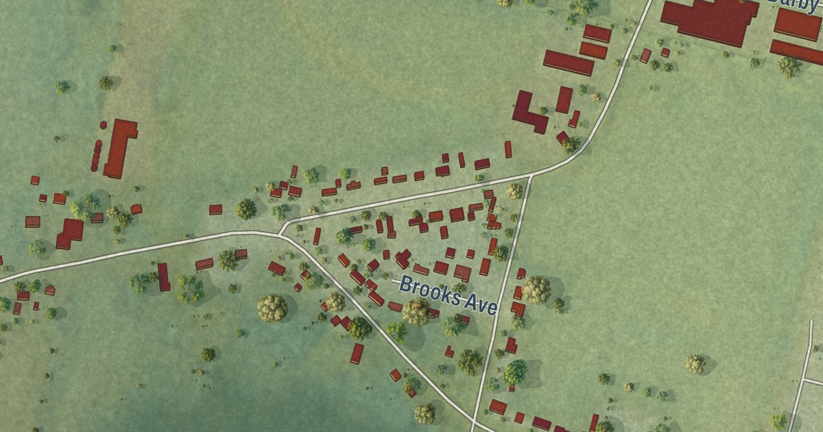
A detailed map of Linkletter, Prince Edward Island, showing every building in its true location, the roads by name, and shaded topographical relief.
Read More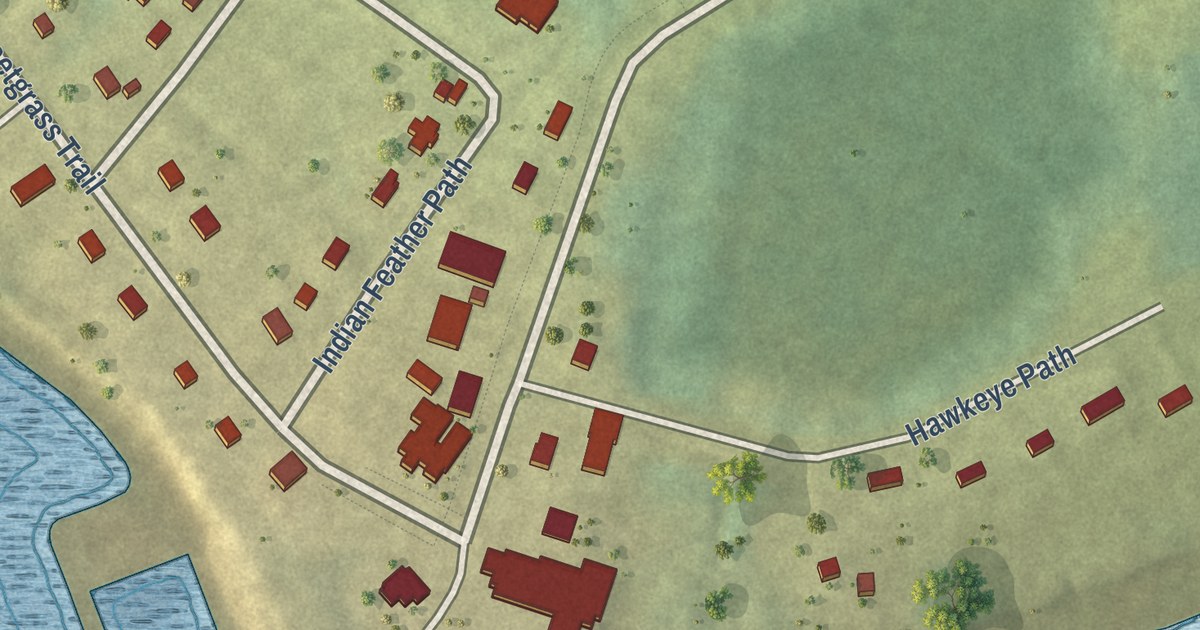
A detailed map of Lennox Island, Prince Edward Island, showing every building in its true location, the roads by name, and shaded topographical relief.
Read More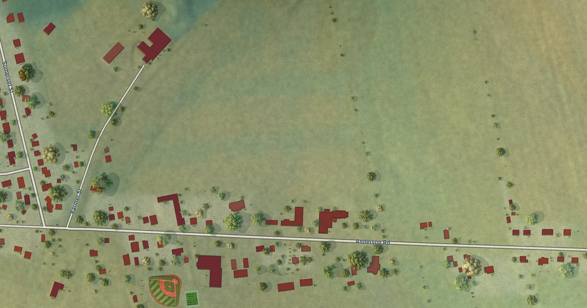
A detailed map of Kinkora, Prince Edward Island, showing every building in its true location, the roads by name, and shaded topographical relief.
Read More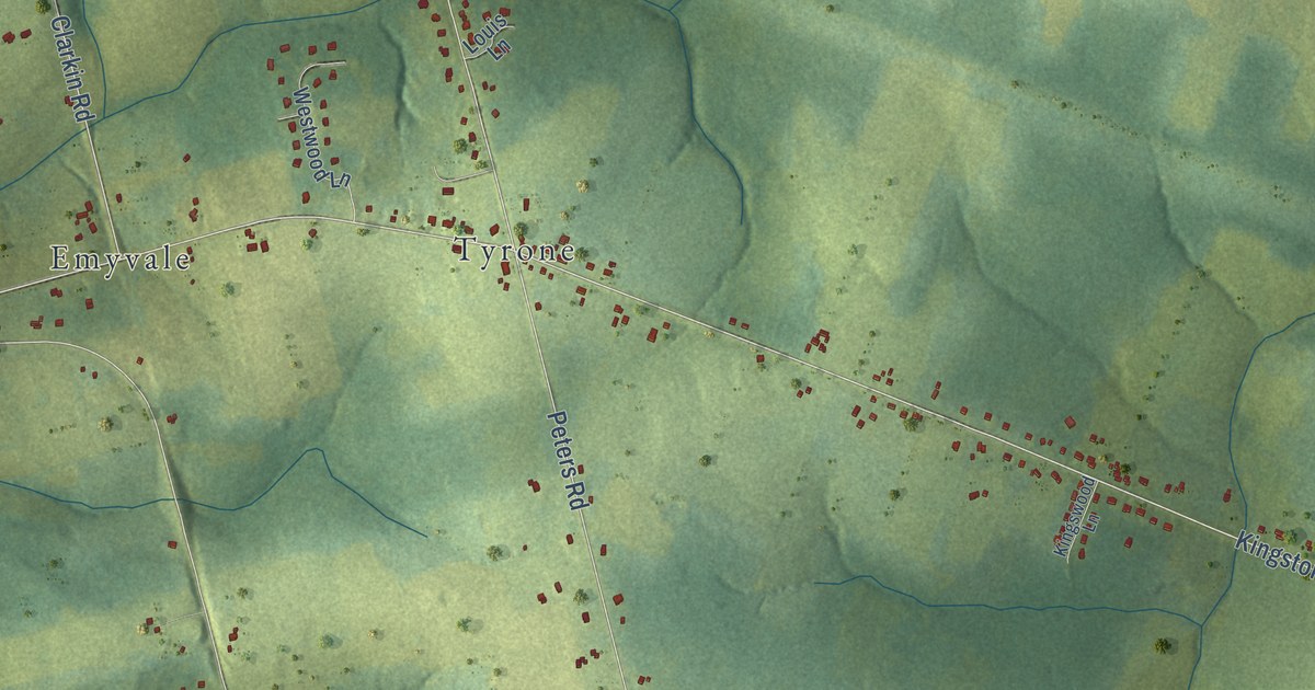
A detailed map of Kingston, Prince Edward Island, showing every building in its true location, the roads by name, and shaded topographical relief.
Read More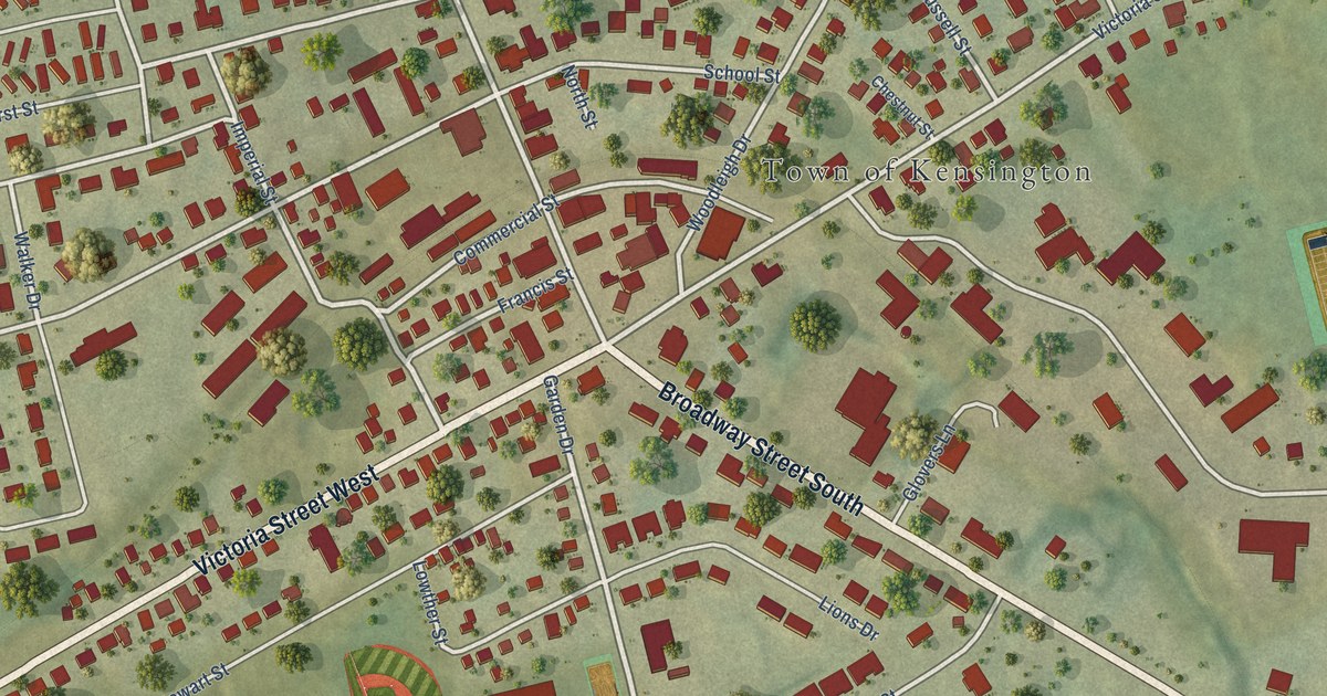
A detailed map of Kensington, Prince Edward Island, showing every building in its true location, the roads by name, and shaded topographical relief.
Read More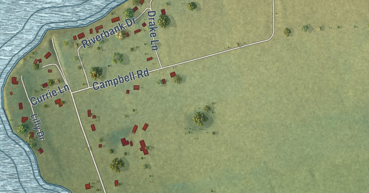
A detailed map of Johnstons River, Prince Edward Island, showing every building in its true location, the roads by name, and shaded topographical relief.
Read More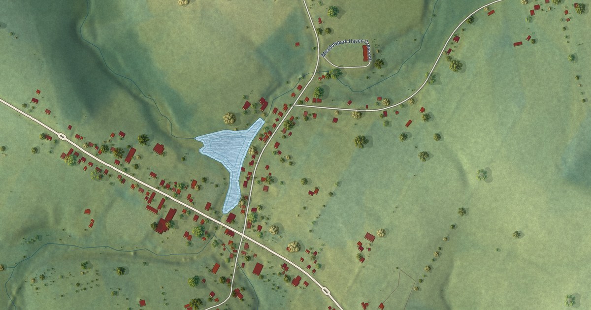
A detailed map of Hunter River, Prince Edward Island, showing every building in its true location, the roads by name, and shaded topographical relief.
Read More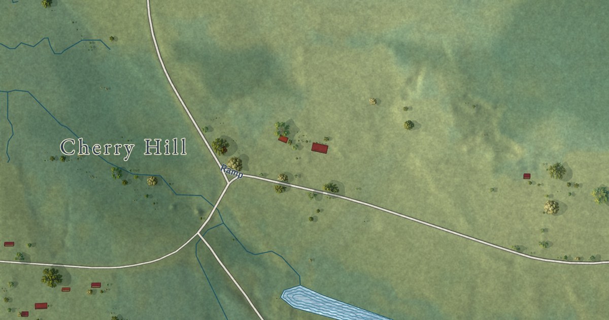
A detailed map of Head of Hillsborough, Prince Edward Island, showing every building in its true location, the roads by name, and shaded topographical relief.
Read More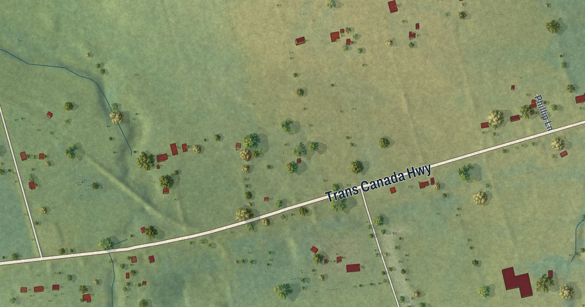
A detailed map of Hazelbrook, Prince Edward Island, showing every building in its true location, the roads by name, and shaded topographical relief.
Read More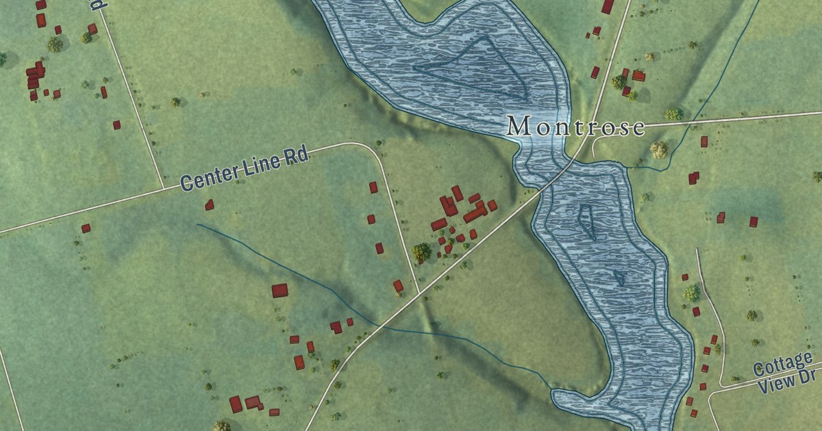
A detailed map of Greenmount-Montrose, Prince Edward Island, showing every building in its true location, the roads by name, and shaded topographical relief.
Read More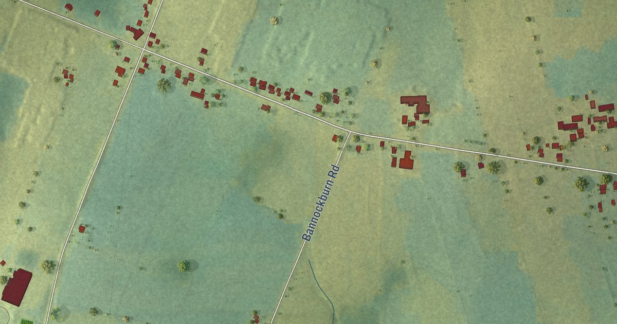
A detailed map of Hampshire, Prince Edward Island, showing every building in its true location, the roads by name, and shaded topographical relief.
Read More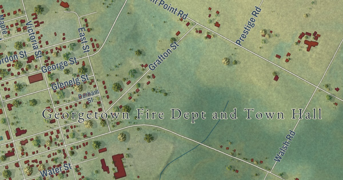
A detailed map of Georgetown, Prince Edward Island, showing every building in its true location, the roads by name, and shaded topographical relief.
Read More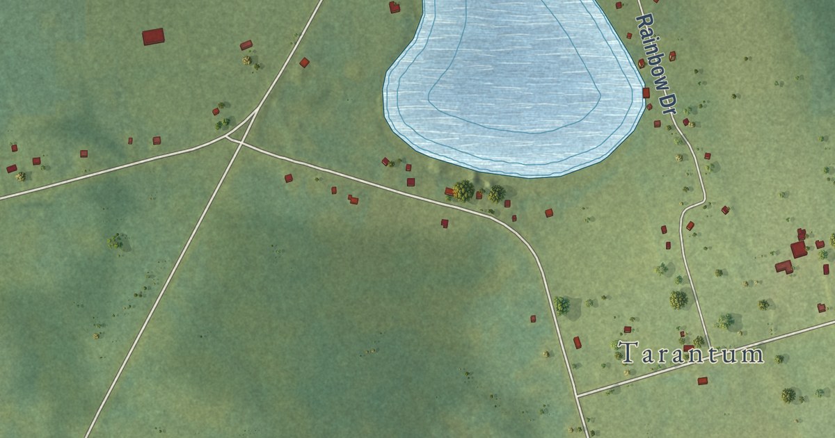
A detailed map of Glenfinnan, Prince Edward Island, showing every building in its true location, the roads by name, and shaded topographical relief.
Read More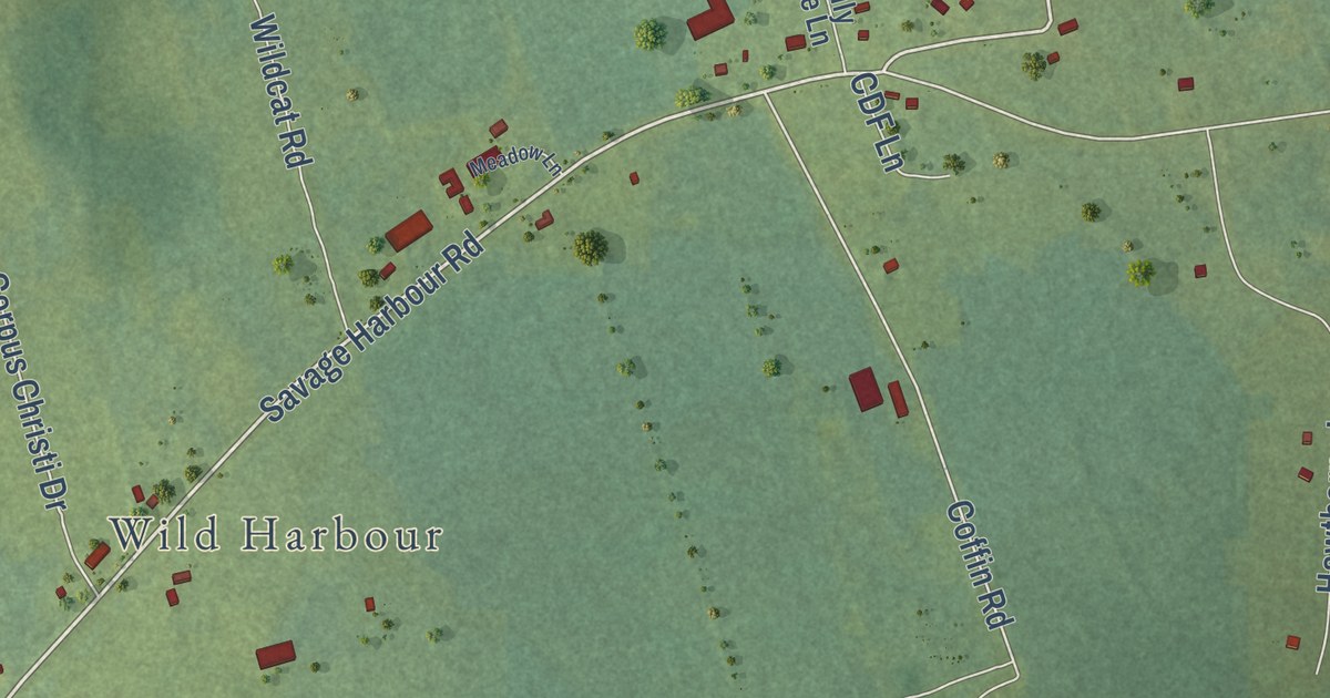
A detailed map of French Village, Prince Edward Island, showing every building in its true location, the roads by name, and shaded topographical relief.
Read More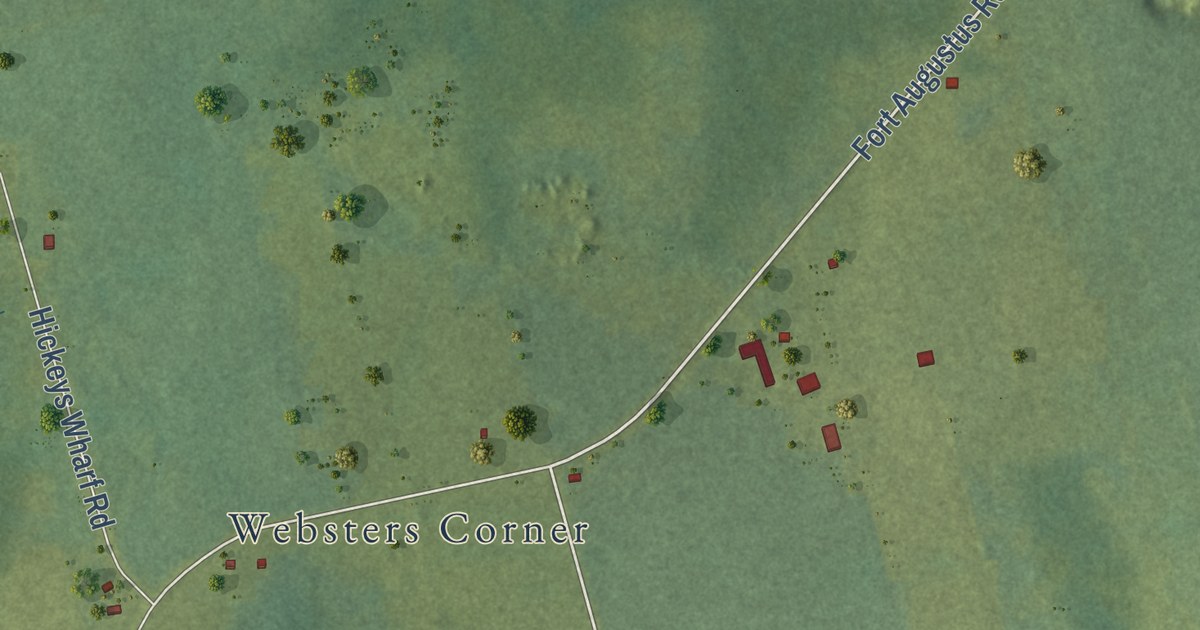
A detailed map of Fort Augustus, Prince Edward Island, showing every building in its true location, the roads by name, and shaded topographical relief.
Read More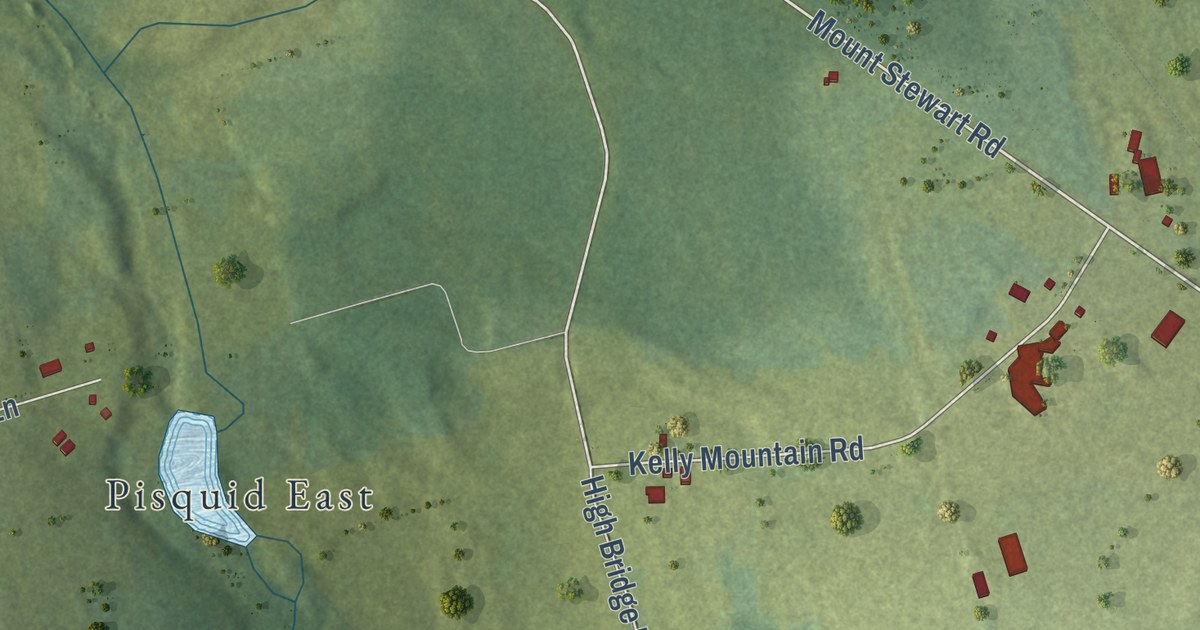
A detailed map of Fanning Brook, Prince Edward Island, showing every building in its true location, the roads by name, and shaded topographical relief.
Read More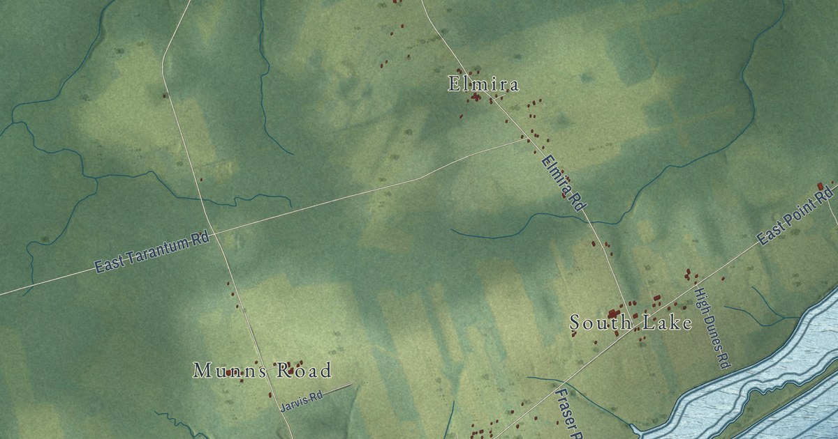
A detailed map of Eastern Kings, Prince Edward Island, showing every building in its true location, the roads by name, and shaded topographical relief.
Read More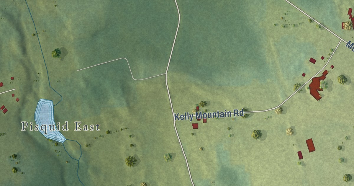
A detailed map of Dromore, Prince Edward Island, showing every building in its true location, the roads by name, and shaded topographical relief.
Read More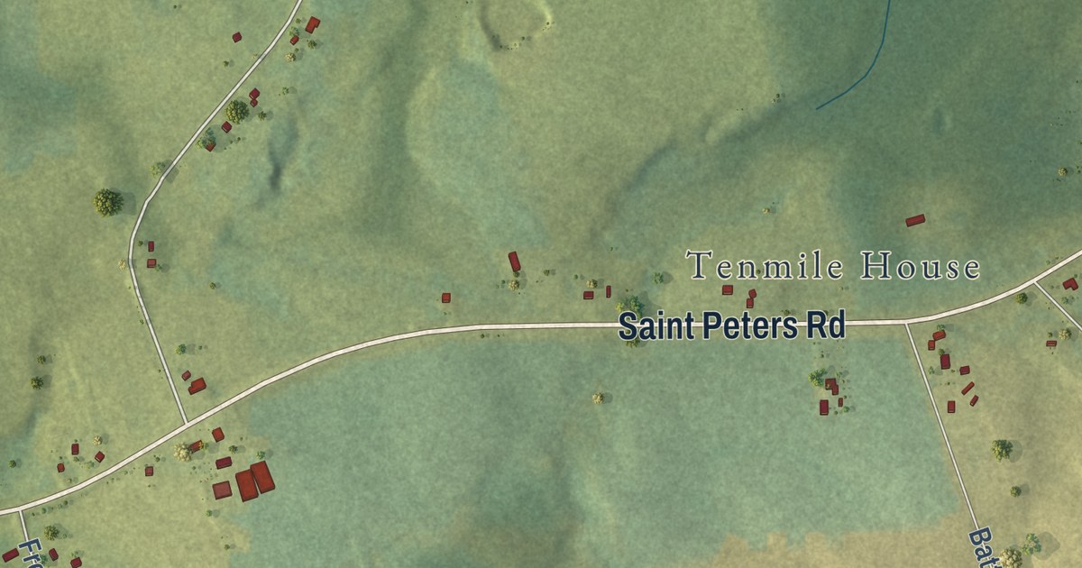
A detailed map of Donaldston, Prince Edward Island, showing every building in its true location, the roads by name, and shaded topographical relief.
Read More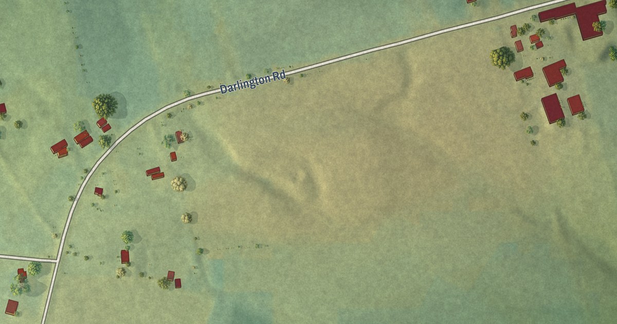
A detailed map of Darlington, Prince Edward Island, showing every building in its true location, the roads by name, and shaded topographical relief.
Read More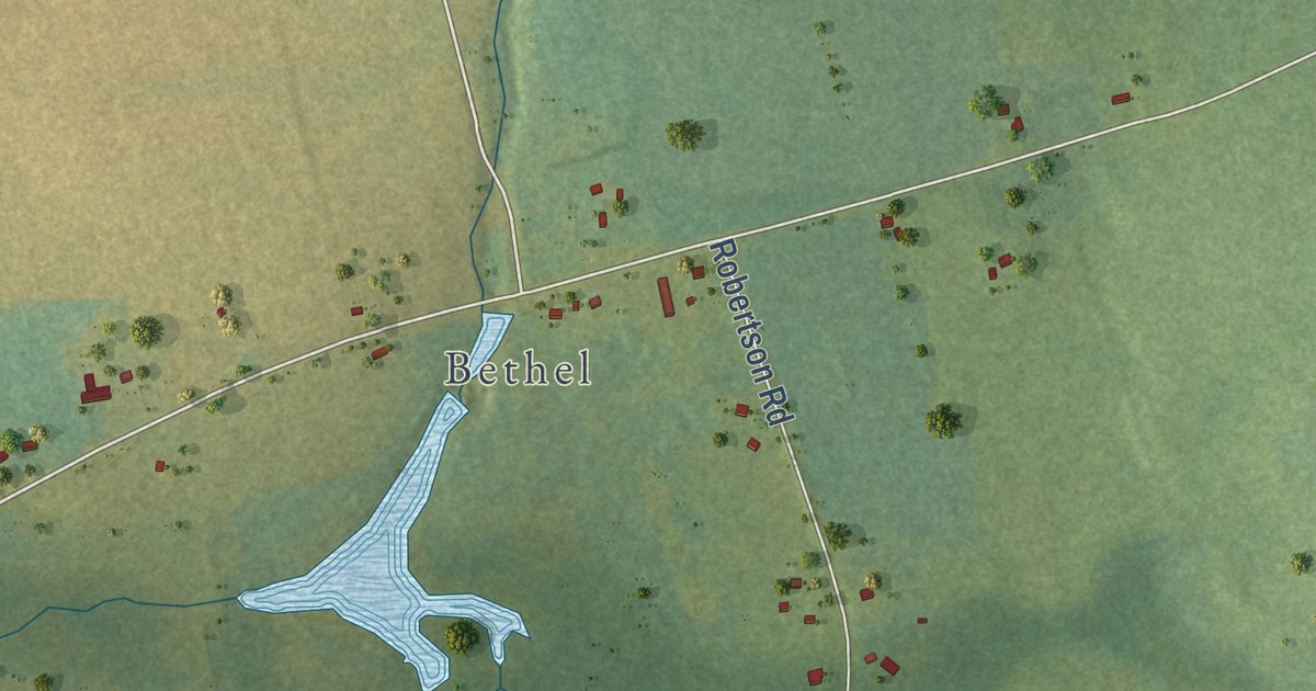
A detailed map of Donagh, Prince Edward Island, showing every building in its true location, the roads by name, and shaded topographical relief.
Read More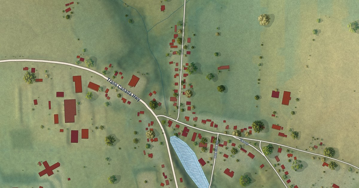
A detailed map of Crapaud, Prince Edward Island, showing every building in its true location, the roads by name, and shaded topographical relief.
Read More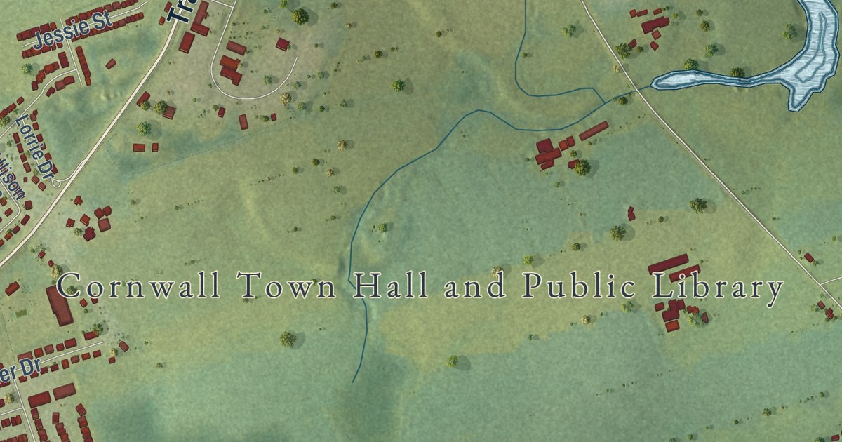
A detailed map of Cornwall, Prince Edward Island, showing every building in its true location, the roads by name, and shaded topographical relief.
Read More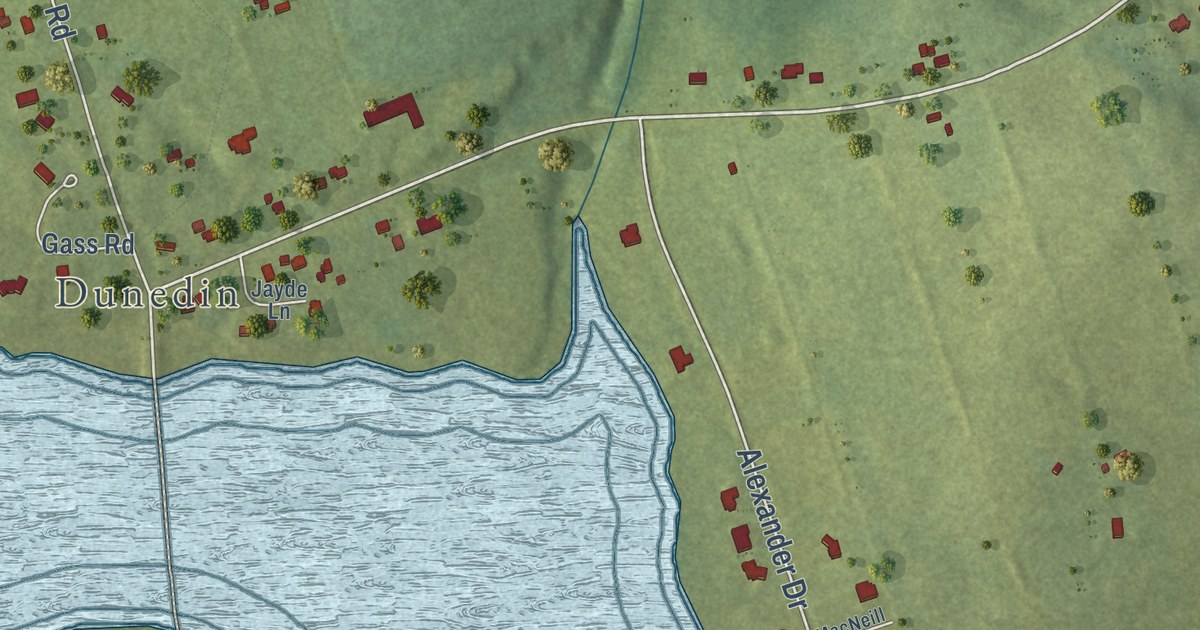
A detailed map of Clyde River, Prince Edward Island, showing every building in its true location, the roads by name, and shaded topographical relief.
Read More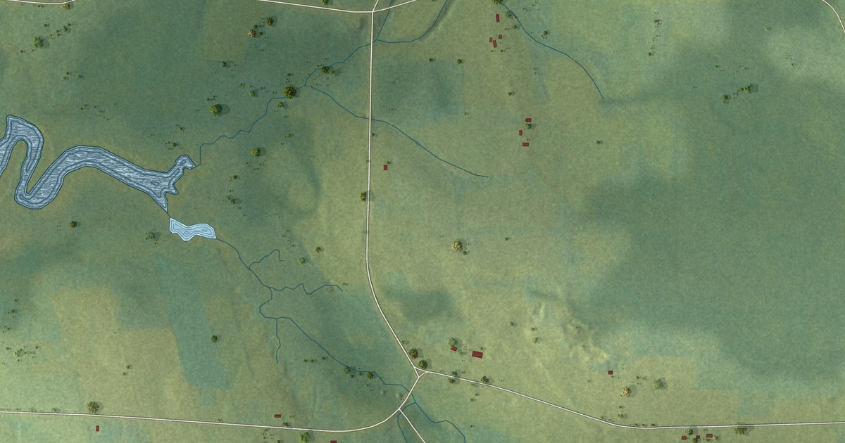
A detailed map of Cherry Hill, Prince Edward Island, showing every building in its true location, the roads by name, and shaded topographical relief.
Read More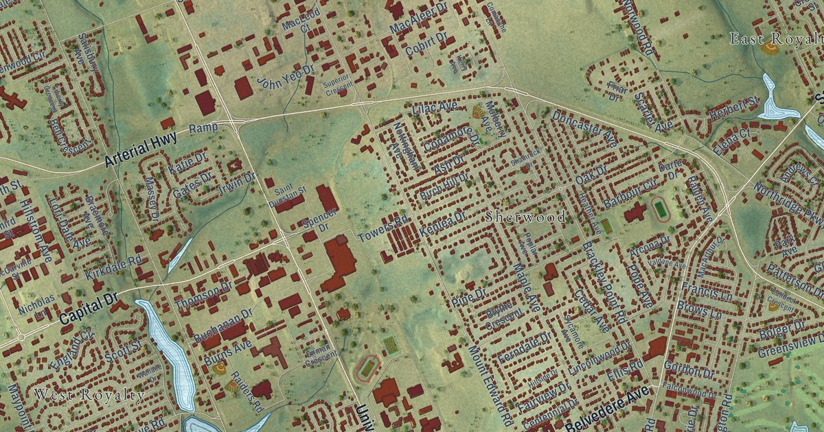
A detailed map of Charlottetown, Prince Edward Island, showing every building in its true location, the roads by name, and shaded topographical relief.
Read More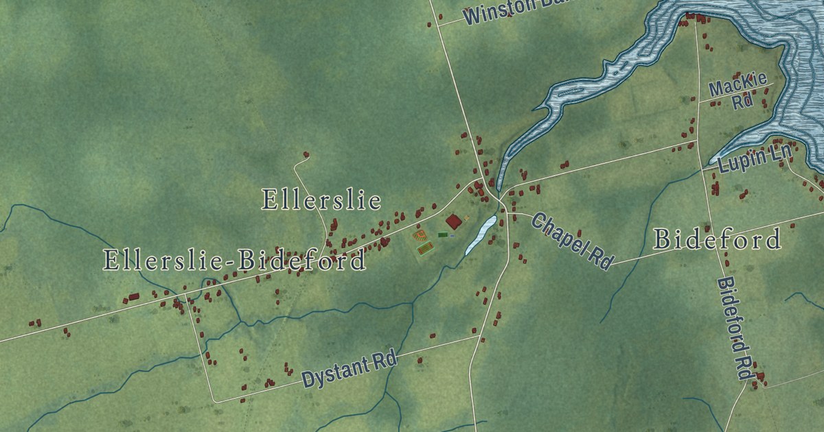
A detailed map of Central Prince, Prince Edward Island, showing every building in its true location, the roads by name, and shaded topographical relief.
Read More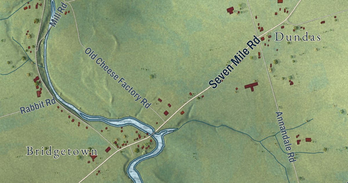
A detailed map of Central Kings, Prince Edward Island, showing every building in its true location, the roads by name, and shaded topographical relief.
Read More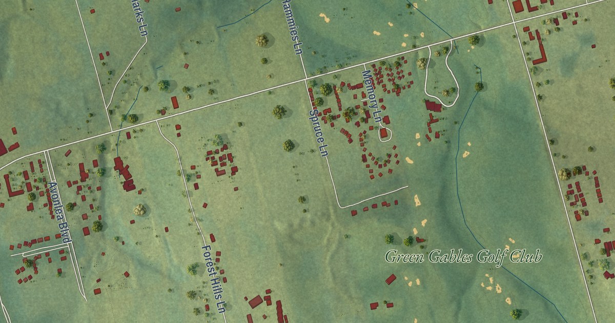
A detailed map of Cavendish, Prince Edward Island, showing every building in its true location, the roads by name, and shaded topographical relief.
Read More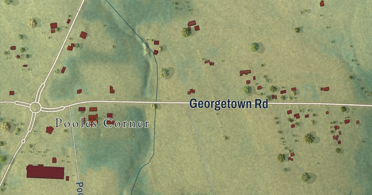
A detailed map of Cardigan, Prince Edward Island, showing every building in its true location, the roads by name, and shaded topographical relief.
Read More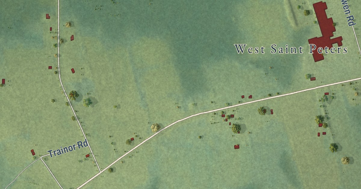
A detailed map of Canavoy, Prince Edward Island, showing every building in its true location, the roads by name, and shaded topographical relief.
Read More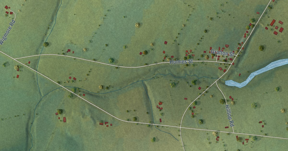
A detailed map of Breadalbane, Prince Edward Island, showing every building in its true location, the roads by name, and shaded topographical relief.
Read More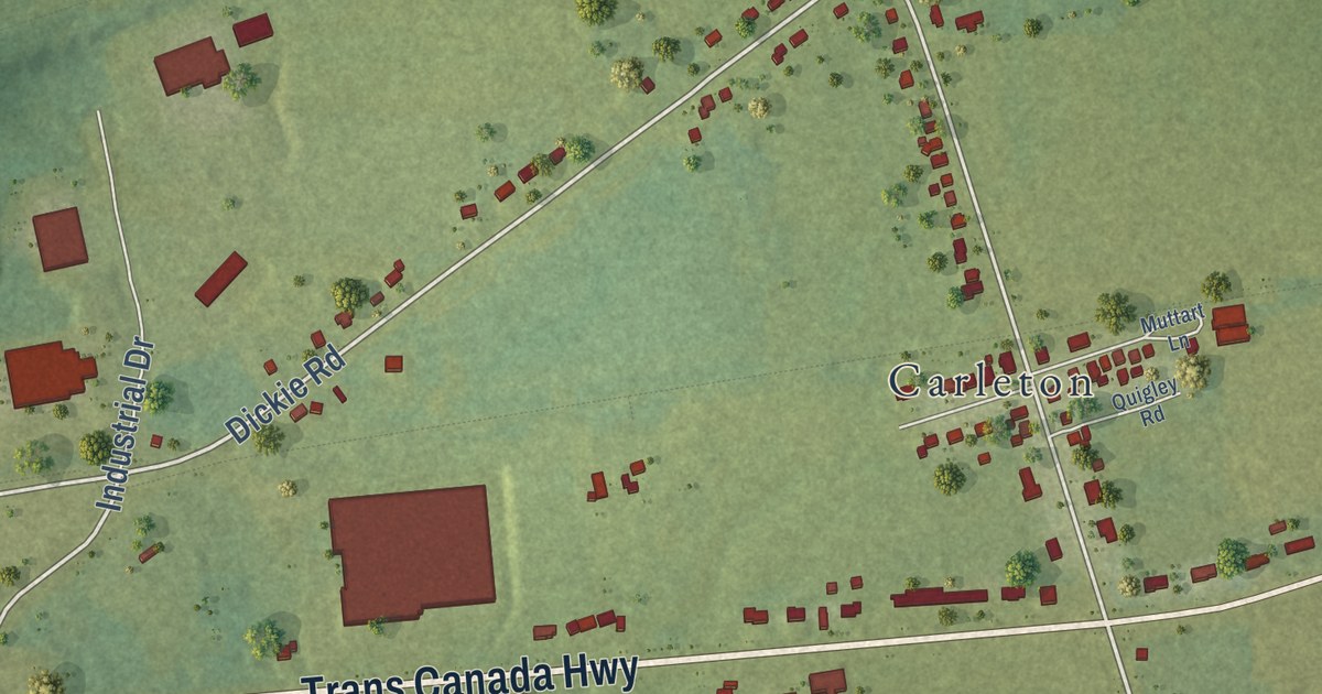
A detailed map of Borden-Carleton, Prince Edward Island, showing every building in its true location, the roads by name, and shaded topographical relief.
Read More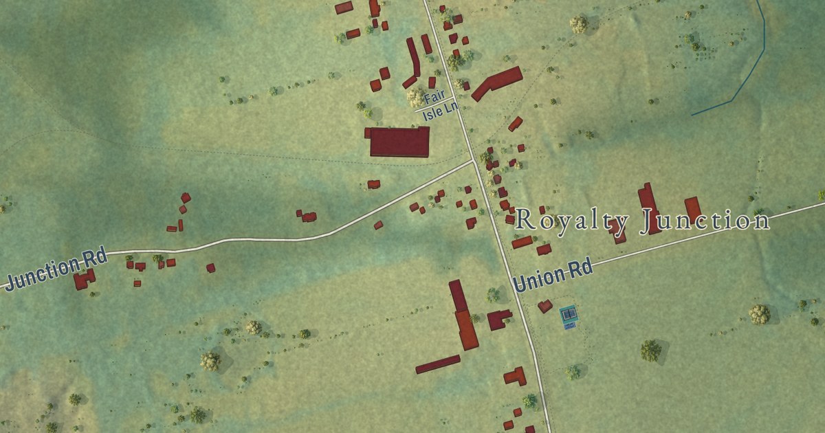
A detailed map of Brackley, Prince Edward Island, showing every building in its true location, the roads by name, and shaded topographical relief.
Read More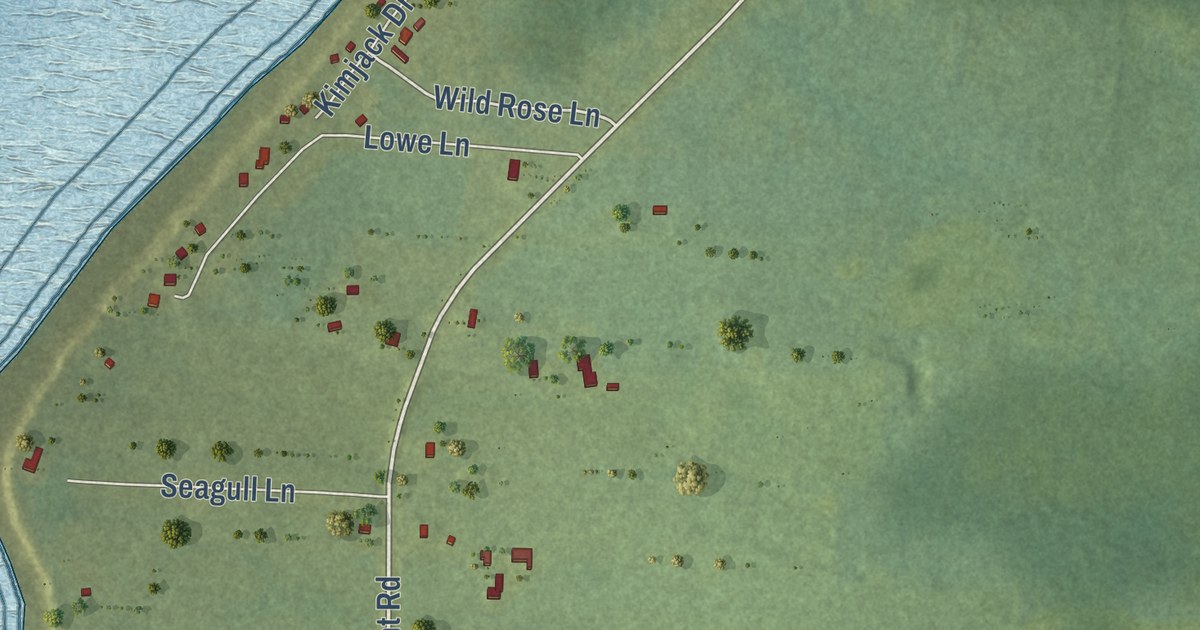
A detailed map of Blooming Point, Prince Edward Island, showing every building in its true location, the roads by name, and shaded topographical relief.
Read More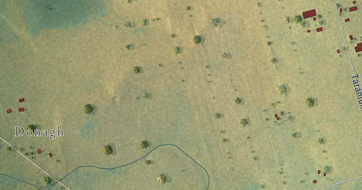
A detailed map of Bethel, Prince Edward Island, showing every building in its true location, the roads by name, and shaded topographical relief.
Read More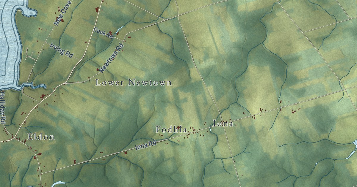
A detailed map of Belfast, Prince Edward Island, showing every building in its true location, the roads by name, and shaded topographical relief.
Read More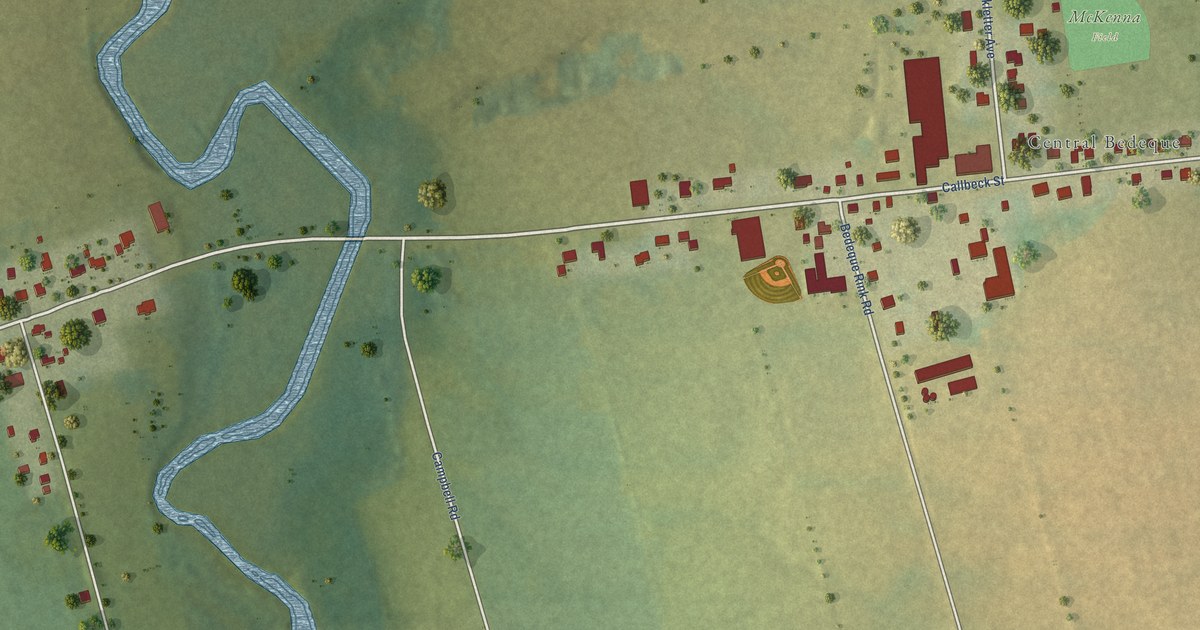
A detailed map of Bedeque and Area, Prince Edward Island, showing every building in its true location, the roads by name, and shaded topographical relief.
Read More