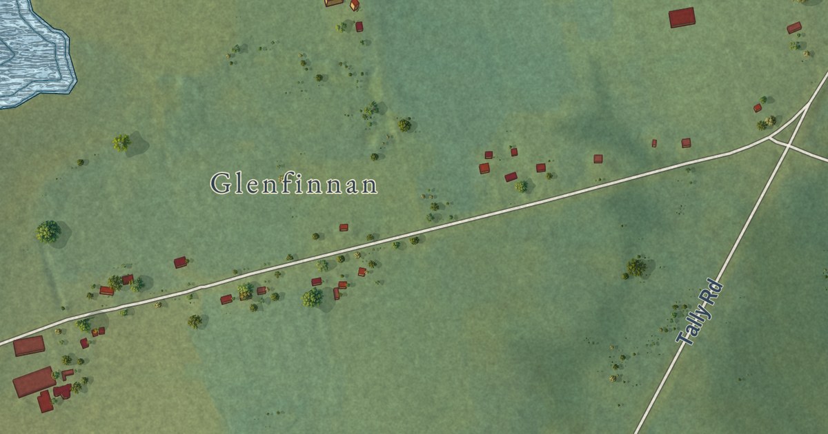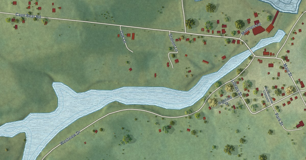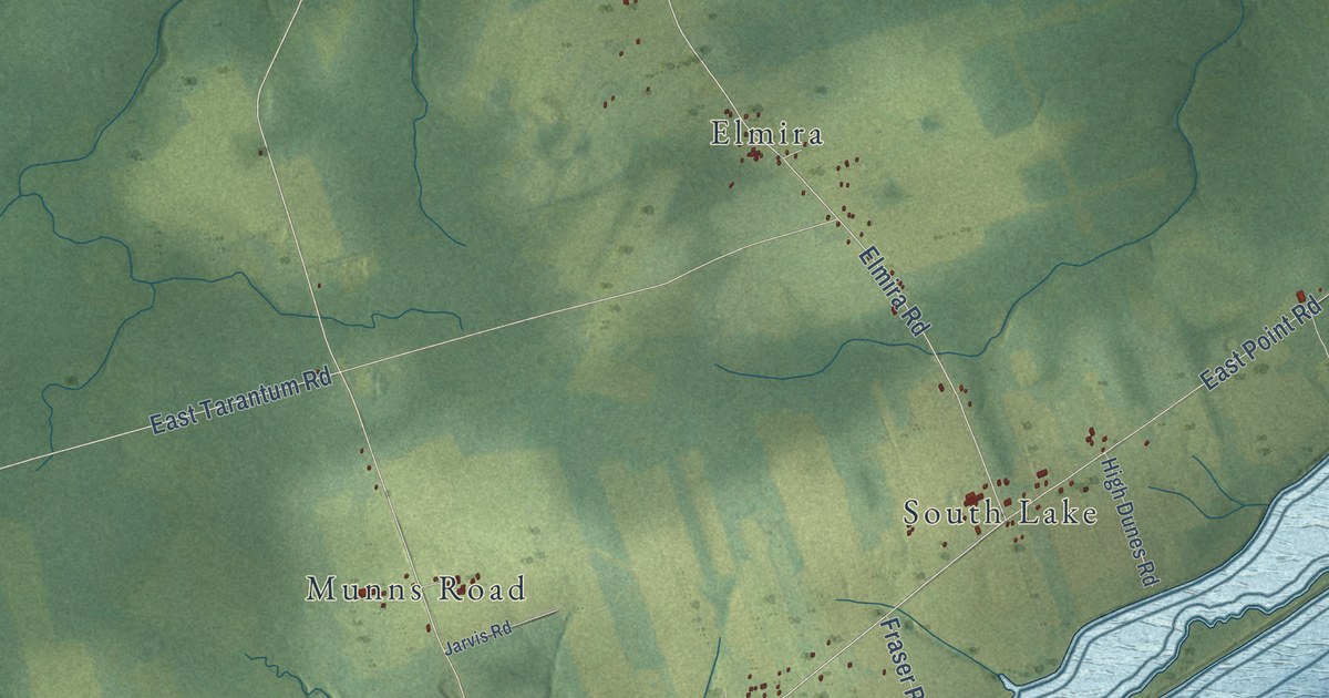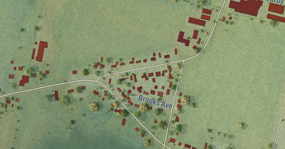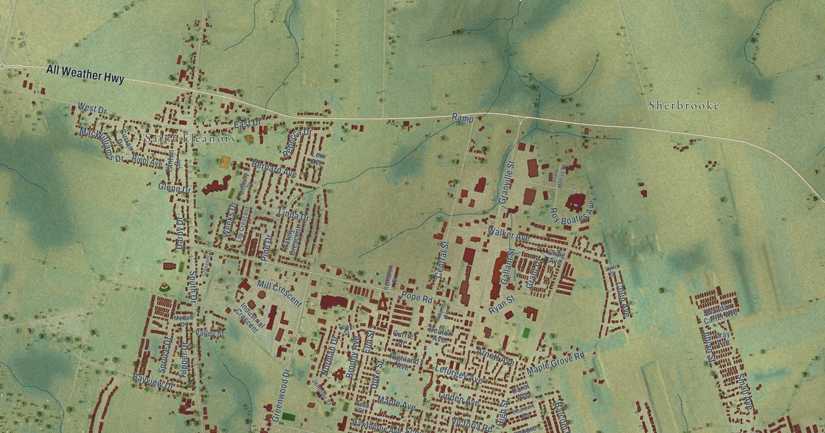
This beautifully detailed map of Summerside, Prince Edward Island was created in 2026 using aerial imagery combined with modern topographical, census, street and landmark data. It’s a one-of-a-kind view of Summerside that combines accurate data with a vintage aesthetic. The map shows every building in its true location, many of the roads carry their names, and the shaded topographic relief shows the shape of the land.
Explore an aerial view of Summerside, Prince Edward Island
On the map you’ll find Summerside City Hall, Reads Corner, Wilmot, Slemon Park, Sherbrooke, and Saint Eleanors, along with All Weather Highway, Read Drive, South Drive, Water Street East, Pope Road, Central Street, and more. If you look closely you can even find your house accurately drawn in its correct location. Zoom in on the preview to look for yours.
Take a closer look at the Summerside map
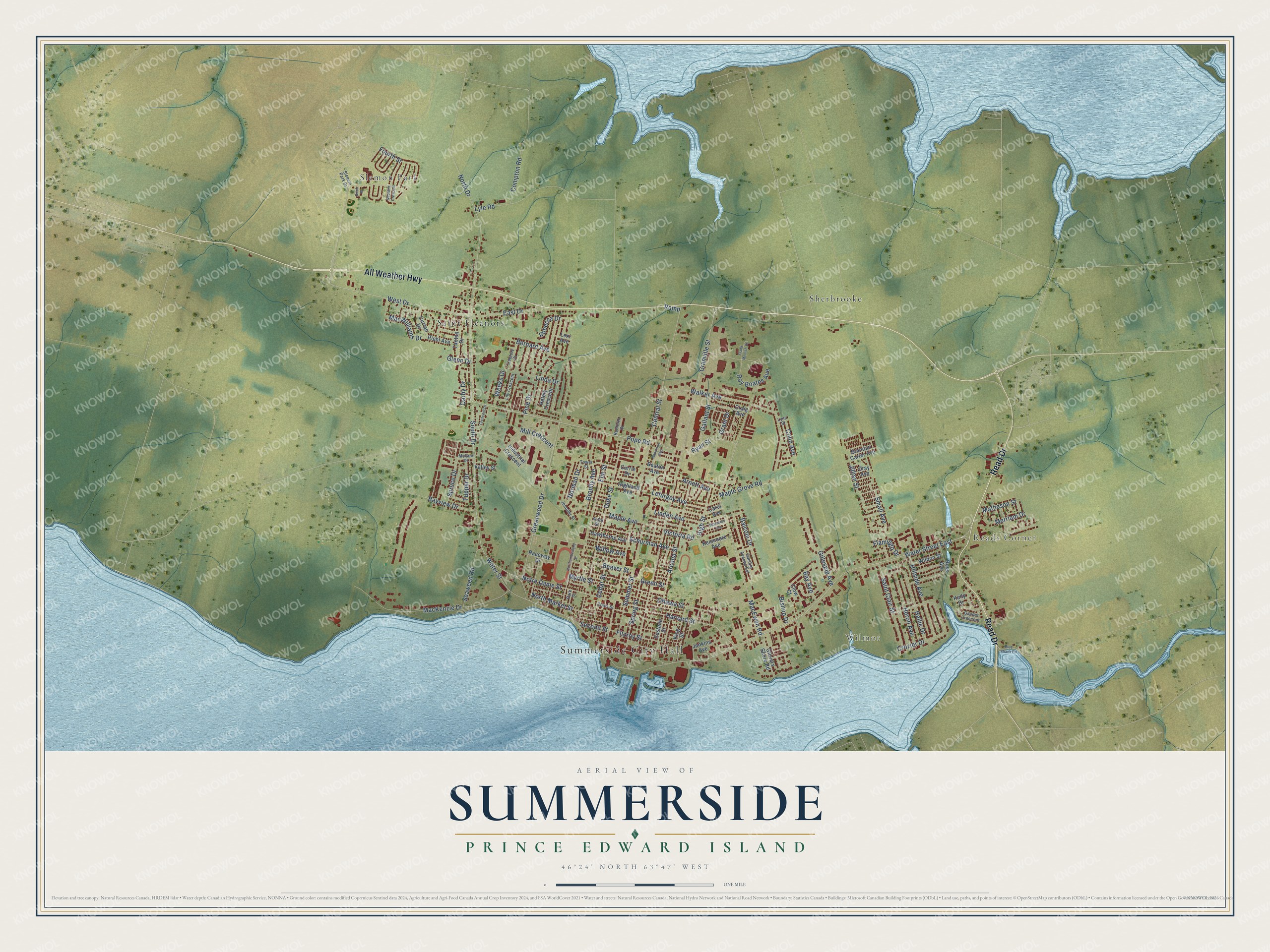
Names on this map
These names are printed on this map.
Places: Summerside City Hall, Reads Corner, Wilmot, Slemon Park, Sherbrooke and Saint Eleanors.
Streets and roads: All Weather Highway, Read Drive, South Drive, Water Street East, Pope Road, Central Street, MacEwen Road, Ramp, West Drive, Water Street, Granville Street, Harvard Street.
More street names, A to Z
Arcona Street, Arnett Avenue, Avon Street, Balcom Drive, Bay Avenue, Bayview Drive, Beaton Avenue, Beaver Street, Bernard Avenue, Birch Street, Bishop Drive, Blue Shank Road, Brandan Carter Avenue, Brophy Avenue, Carol Avenue, Cedar Street, Century Court, Clow Court, Colin Avenue, Compton Road, Court Street, Craig Avenue, Cray Avenue, Crescent Drive, Crozier Drive, Curran Drive, Currie Drive, Darby Drive, Duke Street, East Drive, Elm Street, Eustane Street, Fitzroy Street, Flamingo Drive, Fourth Street, Frank Mellish Street, Gallant Street, Gamble Avenue Extension, Gaudet Crescent, Gillespie Avenue, Glenn Drive, Glovers Shore Road, Grant Drive, Green Street, Greenwood Drive, Hallie Drive, Hately Crescent, Hawthorne Avenue, Heron Avenue, Highland Avenue, High Street, Hillside Avenue, Industrial Crescent, Jenkins Avenue, Jennifer Street, Jillian Street, Kelly Drive, Kenmoore Avenue, King Street, Lefurgey Avenue, Lexi Avenue, Lily Crescent, Linda Drive, Linden Avenue, Lyle Road, Lynn Street, MacKenzie Drive, MacWilliams Drive, Maple Avenue, Maple Grove Road, Matheson Street, McGee Drive, Merriam Drive, Mill Crescent, Myrtle Street, Neptune Crescent, Norman Drive, North Drive, North Market Street, Northumberland Street, Notre Dame Street, Ottawa Street, Park Street, Pine Drive, Raceway Drive, Rebecca Drive, Renforth Street, Riehl Avenue, Robinson Avenue, Ross Avenue, Roy Boates Avenue, Ryan Street, Saint Clair Street, Saunders Avenue, Schurman Avenue, Seaweed Road, Second Street, Slemon Park Drive, Small Avenue, Spring Street, Spruce Drive, Summer Street, Tanton Drive, Tower Street, Tupper Drive, Valley Street, Victoria Road, Walker Avenue, Weeks Drive, Wildon Street, Willow Avenue.
See it on a wall
The Summerside map as an 18 x 24 inch print in a black frame.

This beautifully detailed map of Summerside makes an attractive addition to your office, library, or den, and it can even be used to teach children the geography and history of the area. It also makes a great gift for someone who left Summerside and still calls it home. When you’re done exploring, click here to get your copy of the Summerside map.