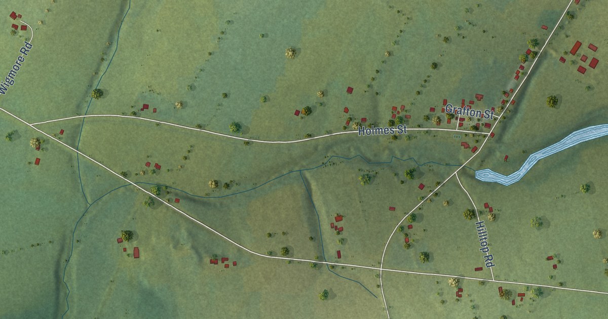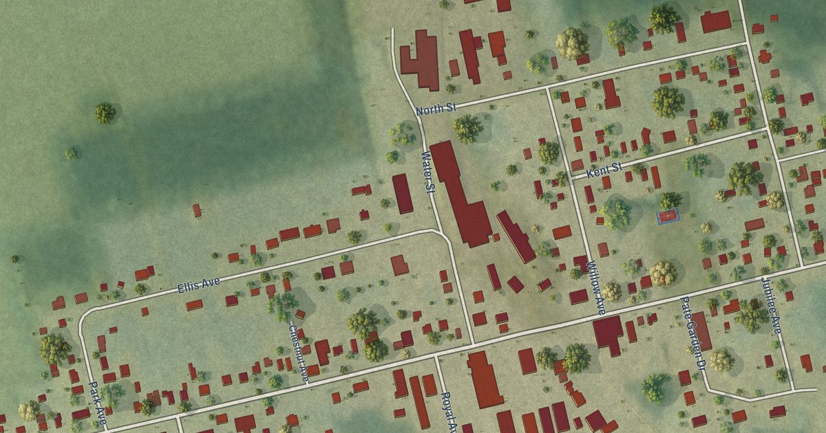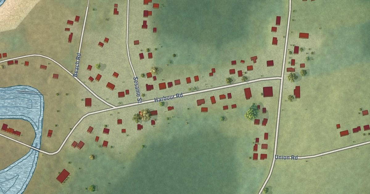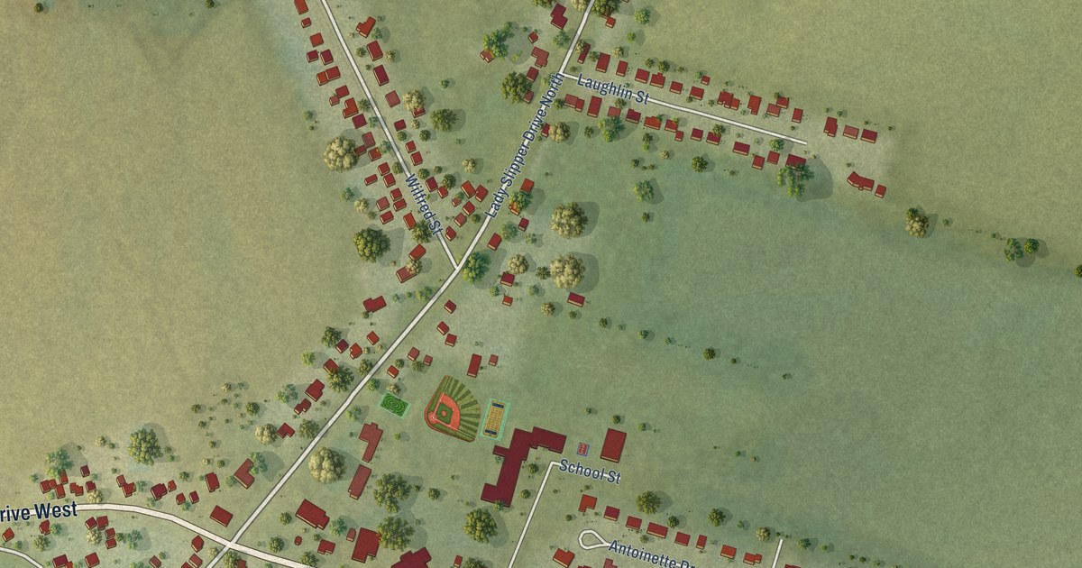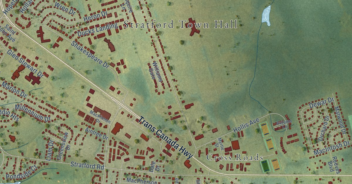
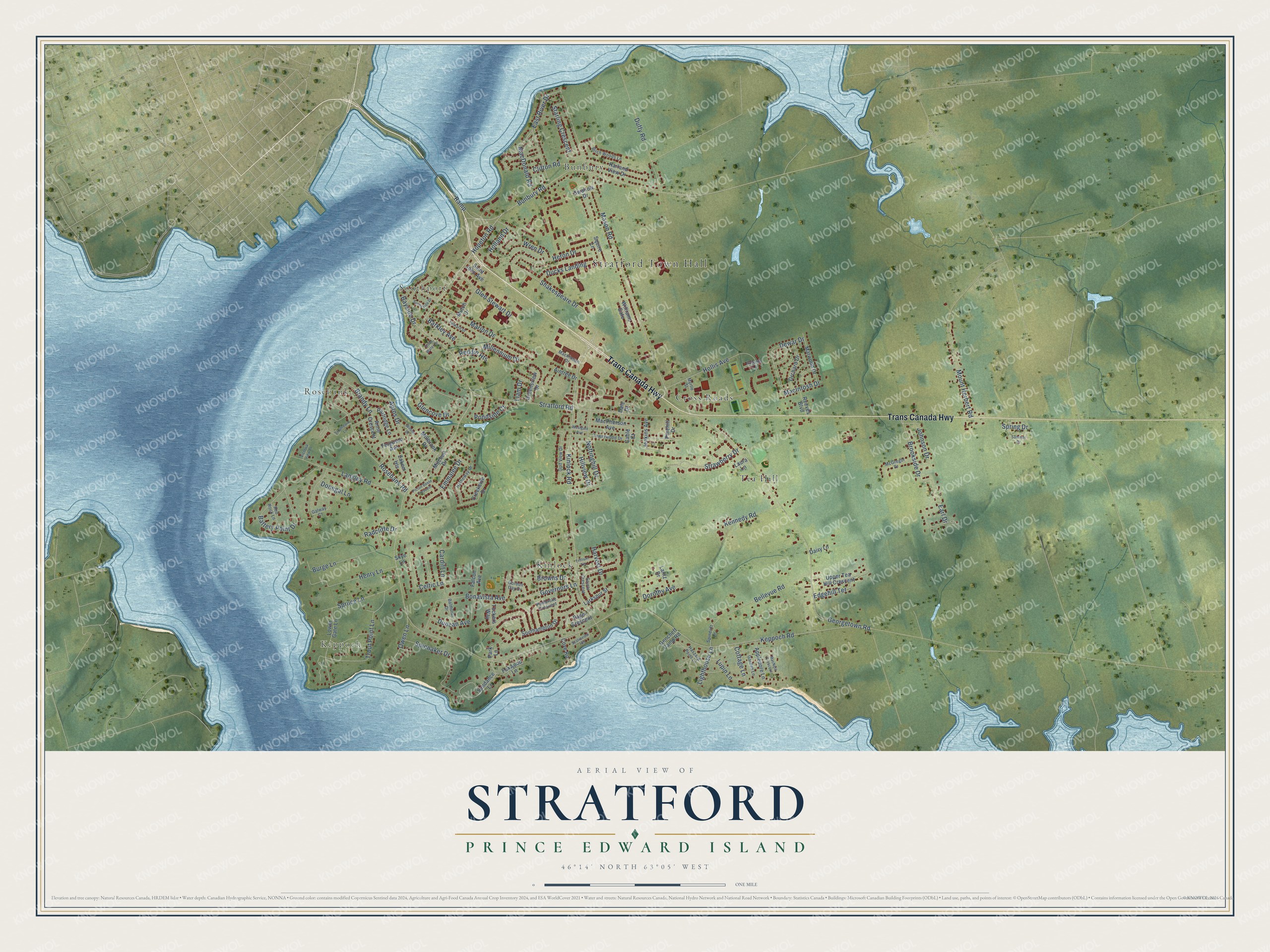
This beautifully detailed map of Stratford, Prince Edward Island was created in 2026 using aerial imagery combined with modern topographical, census, street and landmark data. It’s a one-of-a-kind view of Stratford that combines accurate data with a vintage aesthetic. The map shows every building in its true location, many of the roads carry their names, and the shaded topographic relief shows the shape of the land.
Explore an aerial view of Stratford, Prince Edward Island
On the map you’ll find Stratford Town Hall, Keppoch, Rosebank, Southport, Tea Hill, Kinlock, Bunbury, and Cross Roads, along with Trans Canada Highway, Stratford Road, Keppoch Road, Bunbury Road, and more. If you look closely you can even find your house accurately drawn in its correct location. Zoom in on the preview to look for yours.
Take a closer look at the Stratford map
Names on this map
These names are printed on this map.
Places: Stratford Town Hall, Keppoch, Rosebank, Southport, Tea Hill, Kinlock, Bunbury and Cross Roads.
Streets and roads: Trans Canada Highway, Stratford Road, Keppoch Road, Bunbury Road, Kinlock Road, Ramp, Hopeton Road, Georgetown Road, Governors Lane, Mason Road, Spruce Lane, Langley Road.
More street names, A to Z
Aintree Drive, Anne Crescent, Appledore Lane, Aptos Drive, Autumn Lane, Aylward Drive, Balmoral Drive, Barkley Avenue, Battery Point Drive, Bayside Drive, Bellevue Road, Birch Woods Lane, Bonavista Avenue, Brandy Lane, Brookside Drive, Browns Drive, Burge Lane, Cable Court, Cardiff Lane, Celtic Lane, Clifton Road, Cottage Lane, Cove Road, Creekside Drive, Dairy Lane, Dale Drive, Dewar Drive, Donegal Lane, Dorothy Avenue, Ducks Landing, Duffy Road, Duncan Avenue, Earl Drive, East River Drive, Edgehill Terrace, Emmalee Drive, Falcon Avenue, Ferguson Avenue, Foxwood Lane, Galway Court, Garden Lane, Gencheff Camp Road, Glencove Drive, Glen Stewart Drive, Golf View Drive, Gordon Gay Drive, Greensview Drive, Harland View Drive, Harvest Drive, Haszard Point Lane, Hatheway Drive, Henry Lane, Heron Drive, Hillview Drive, Holland Drive, Hollis Avenue, Jenkins Avenue, Johnson Drive, Kennedy Road, Lantz Drive, Larkspur Street, Laura Lane, Liam Drive, Lighthouse Lane, Lower Gate Lane, Lupin Lane, MacDonald Road, MacIntosh Drive, MacKinnon Drive, MacNeill Crescent, MacPherson Avenue, Marion Drive, Matwood Drive, McGregor Drive, Millbrook Drive, Millennium Drive, Mitchell Drive, Mount Herbert Road, Mutch Drive, Myrtle Street, Nottinghill Drive, Orchard Drive, Owen Lane, Paget Crescent, Park Lane, Partridge Lane, Pembroke Crescent, Picton Beete Crescent, Pinehill Drive, Pondside Court, Quiet Water Drive, Radcliffe Drive, Reddin Heights, Red Rock Lane, Reeves Boulevard, Rosebank Road, Saint John Avenue, Saints Crescent, Scotiaview Heights, Shakespeare Drive, Skye Lane, Southampton Drive, Spindrift Lane, Spinnaker Drive, Spring Drive, Squire Lane, Starling Crescent, Strathearn Lane, Strawberry Drive, Summer Drive, Sundance Lane, Sunnyside Drive, Swallow Drive, Towerwood Drive, Trillium Terrace, Trout Point Lane, Tuckers Way, Upper Tea Hill Crescent, Victoria View Lane, Westgate Avenue, Williams Gate, Winjoe Drive, Wren Drive, Zakem Heights.
See it on a wall
The Stratford map as an 18 x 24 inch print in a black frame.

This beautifully detailed map of Stratford makes an attractive addition to your office, library, or den, and it can even be used to teach children the geography and history of the area. It also makes a great gift for anyone who grew up in Stratford or moved away. When you’re done exploring, click here to get your copy of the Stratford map.