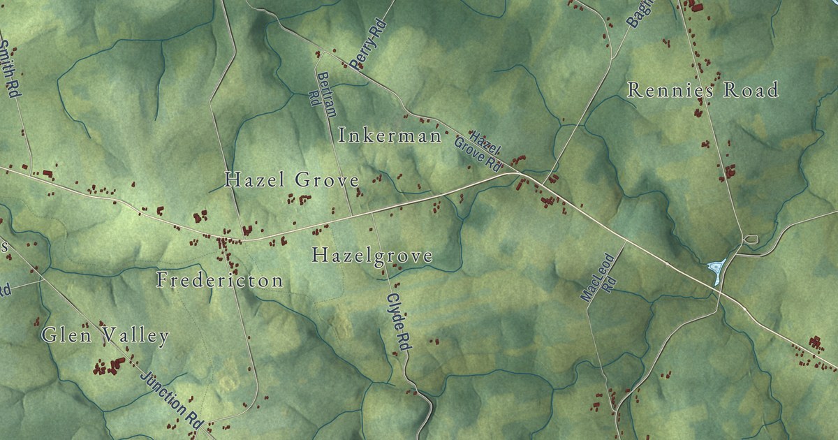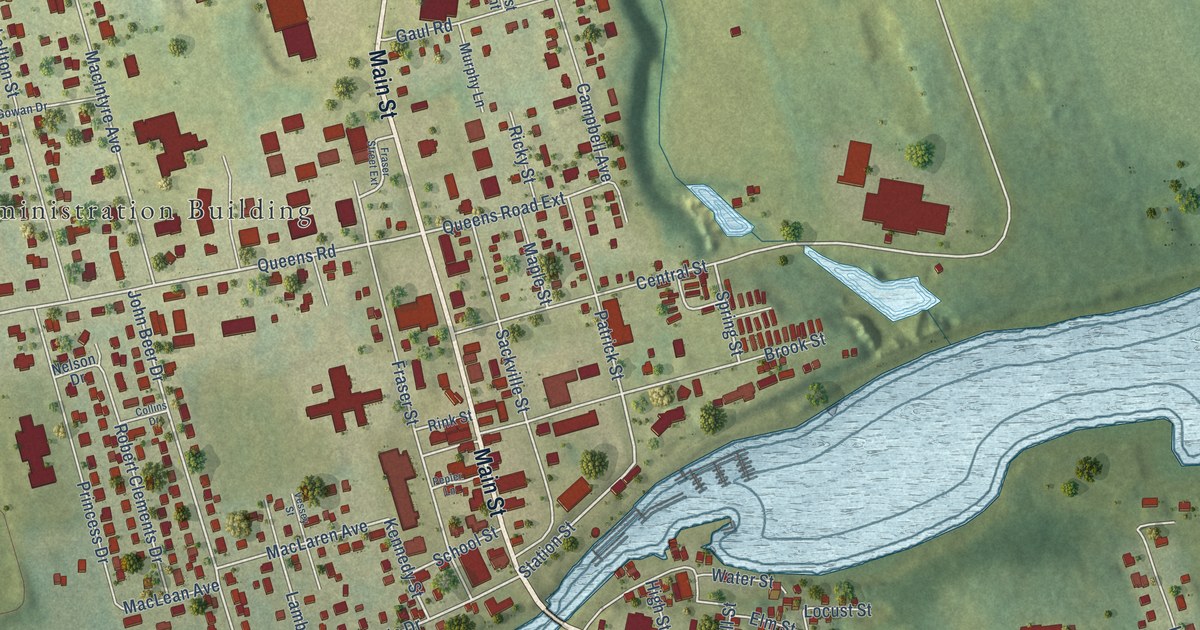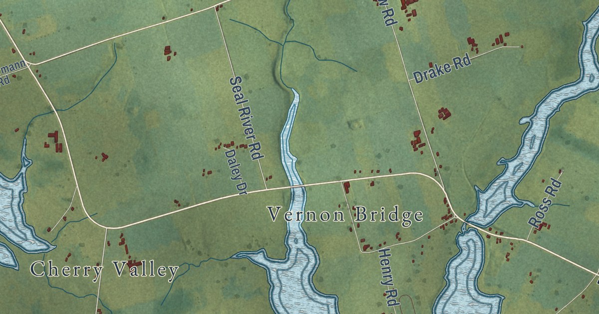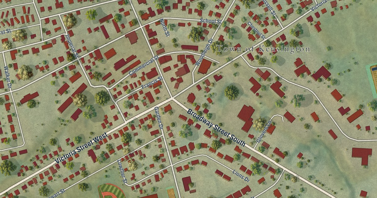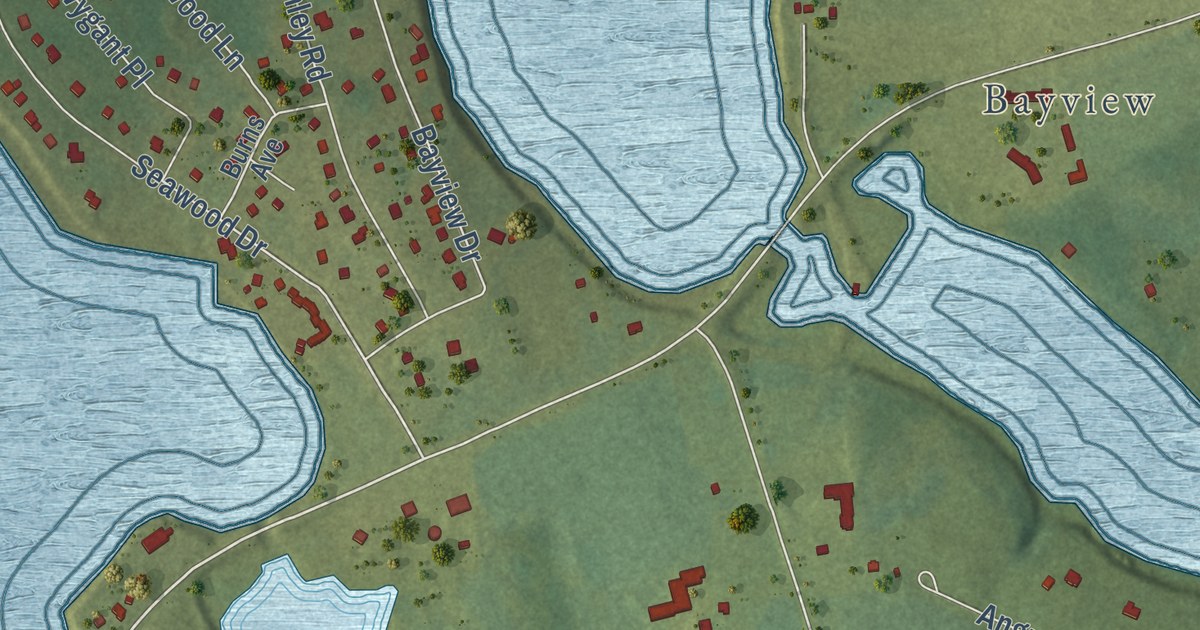
This beautifully detailed map of Stanley Bridge, Prince Edward Island was created in 2026 using aerial imagery combined with modern topographical, census, street and landmark data. It’s a one-of-a-kind view of Stanley Bridge that combines accurate data with a vintage aesthetic. The map shows every building in its true location, many of the roads carry their names, and the shaded topographic relief shows the shape of the land.
Explore an aerial view of Stanley Bridge, Prince Edward Island
On the map you’ll find Bayview, Campbellton, and Andersons Creek Golf Club, along with Rattenbury Road, Cavendish Road, Saint Marys Road, Douglas Road, Fountain Road, Trout River Road, Campbellton Road, Seawood Drive, Bumble Bee Road, and more. If you look closely you can even find your house accurately drawn in its correct location. Zoom in on the preview to look for yours.
Take a closer look at the Stanley Bridge map
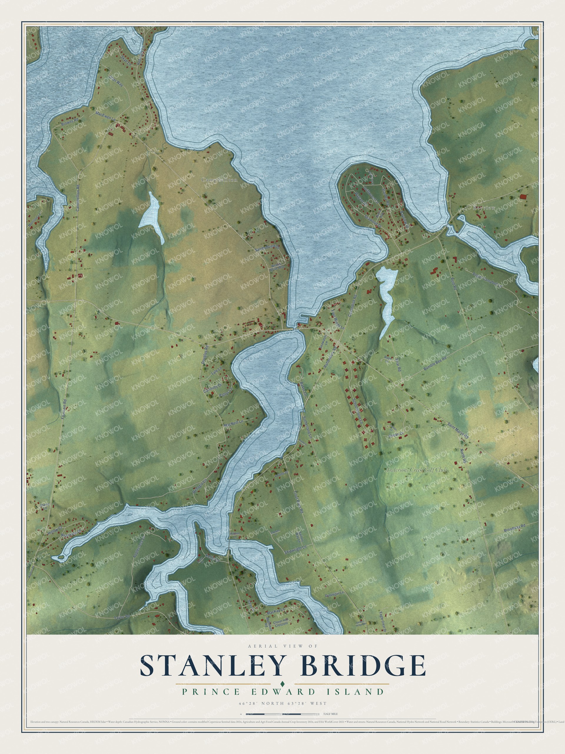
Names on this map
These names are printed on this map.
Places: Bayview, Campbellton and Andersons Creek Golf Club.
Streets and roads: Rattenbury Road, Cavendish Road, Saint Marys Road, Douglas Road, Fountain Road, Trout River Road, Campbellton Road, Seawood Drive, Bumble Bee Road, Shipwright Lane, North Road, Taylor Road.
More street names, A to Z
Adams Drive, Angus Campbell Lane, Applecross Lane, Baker Lane, Bayberry Lane, Bayview Drive, Bellagio Lane, Briar Road, Broadway Road, Browns Road, Burns Avenue, Camden Court, Captains Lane, Carmody Drive, Cherry Lane, Clover Hill Crescent, Daisy Lane, Driftwood Lane, Dunvegan Lane, Eagle Crest Drive, Four Winds Lane, Garys Lane, Hebrides Lane, Hilltop Court, Hinton Lane, Kellie Lane, Lyle Lane, MacEwen Lane, MacKay Lane, MacNeill Lane, Matheson Road, Morrison Lane, Ocean Drive, Otter Way, Pattys Lane, Pickering Place, Reid Road, Riverview Drive, Rose Lane, Sailors Way Lane, Sandhillview Drive, Schoolhouse Lane, Seawatch Lane, Settlers Ridge Road, Skye Lane, Stanley Road, Sutherland Lane, Weeks Drive Way, Wigmore Road, Wygant Place.
See it on a wall
The Stanley Bridge map as an 18 x 24 inch print in a black frame.

This beautifully detailed map of Stanley Bridge makes an attractive addition to your office, library, or den, and it can even be used to teach children the geography and history of the area. It also makes a great gift for anyone with Stanley Bridge roots. When you’re done exploring, click here to get your copy of the Stanley Bridge map.