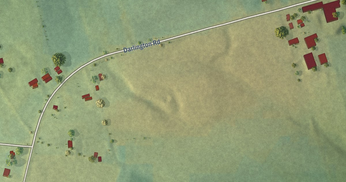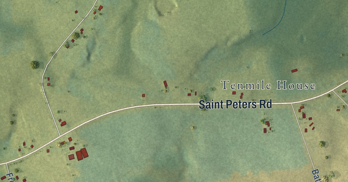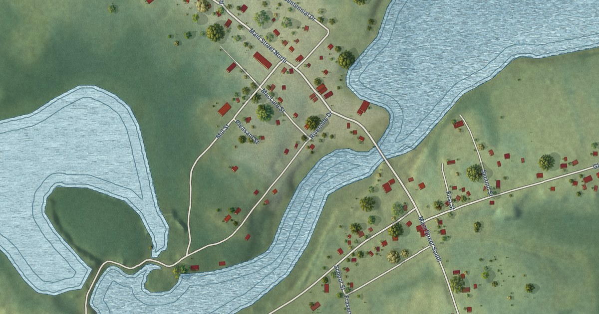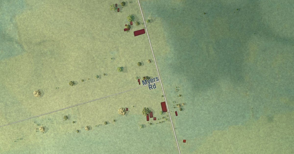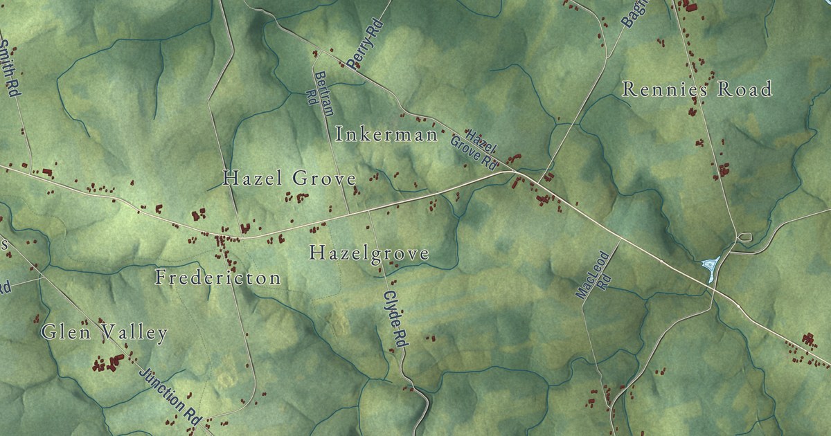
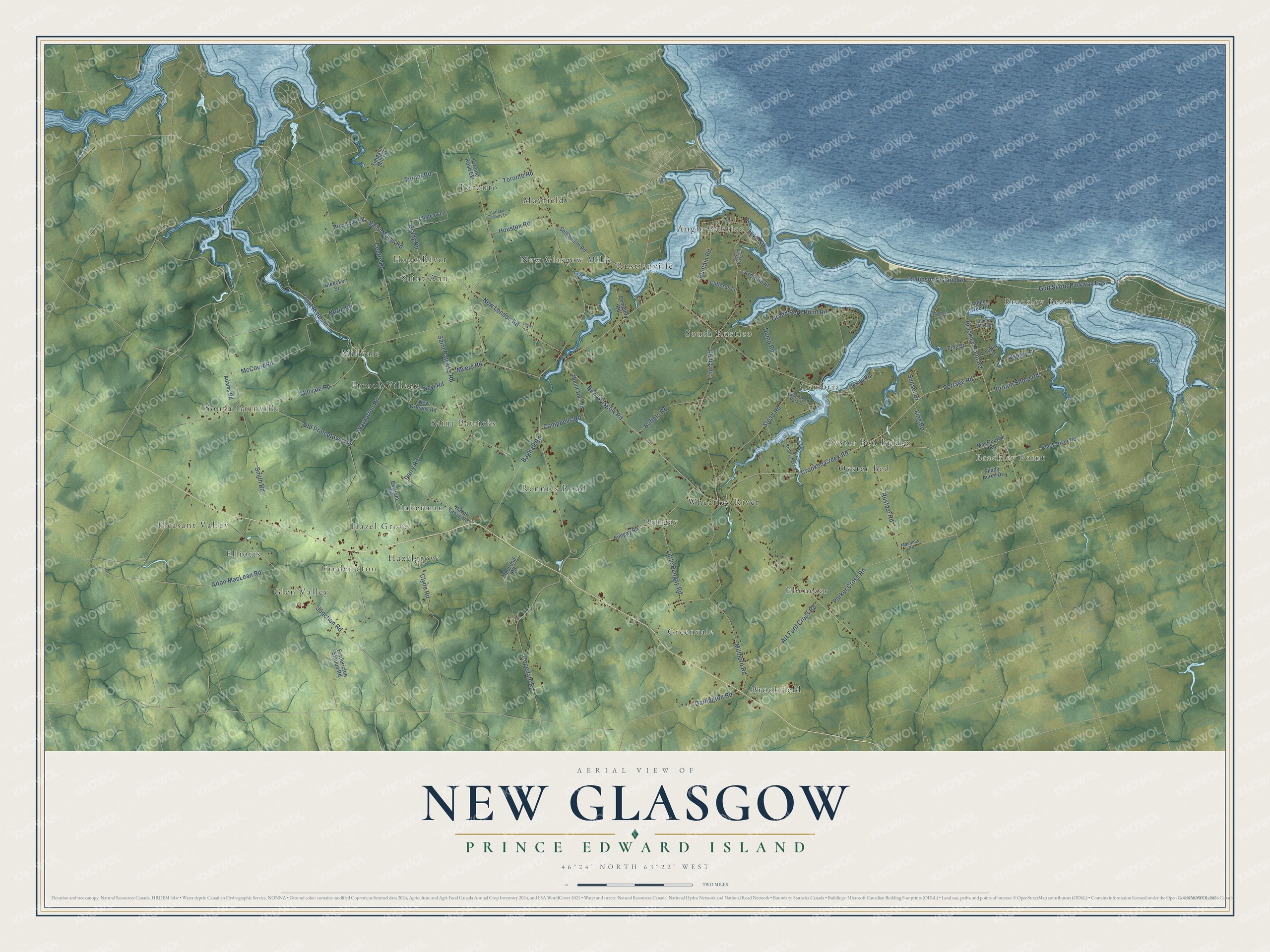
This beautifully detailed map of New Glasgow, Prince Edward Island was created in 2026 using aerial imagery combined with modern topographical, census, street and landmark data. It’s a one-of-a-kind view of New Glasgow that combines accurate data with a vintage aesthetic. The map shows every building in its true location, many of the roads carry their names, and the shaded topographic relief shows the shape of the land.
Explore an aerial view of New Glasgow, Prince Edward Island
On the map you’ll find Brackley Point, Brackley Beach, Pleasant Valley, Saint Ann, Brookfield, Anglo Rustico, Wheatley River, Hazel Grove, Saint Patricks, New Glasgow Mills, Oyster Bed, South Granville, and more. If you look closely you can even find your house accurately drawn in its correct location. Zoom in on the preview to look for yours.
Take a closer look at the New Glasgow map
Names on this map
These names are printed on this map.
Places: Brackley Point, Brackley Beach, Pleasant Valley, Saint Ann, Brookfield, Anglo Rustico, Wheatley River, Hazel Grove, Saint Patricks, New Glasgow Mills, Oyster Bed, South Granville, South Rustico, Fredericton, Ebenezer, Glen Valley, Millvale, Bungay, Cymbria, Toronto, Rennies Road, Rusticoville, Greenvale, Mayfield, Elliotts, Oyster Bed Bridge, French Village, Hazelgrove, Hope River and Inkerman.
Streets and roads: New Glasgow Road, Crooked Creek Road, Portage Road, New London Road, Brackley Point Road, Saint Marys Road, Rustico Road, Millvale Road, Gulf Shore Parkway East, Turner Road, Trout River Road, Smith Road.
More street names, A to Z
Adams Road, Alton MacLean Road, Apple Tree Road, Arcadia Lane, Art Ford Cross Road, Bagnall Road, Bertram Road, Black River Road, Bleecker Street, Britain Shore Road, Broadway Road, Buffalo Road, Bungay Road, Buntain Road, Campbells Road, Camp Road, Cemetery Road, Centre Road, Chateau Lane, Church Road, Cliffords Lane, Clyde Road, Cottage Country Lane, Darlington Road, Dump Road, Dunes View Drive, Fredericton Station Road, Grady Road, Grand Pere Point Road, Gregors Lane, Hazel Grove Road, Hopedale Road, Houston Road, Junction Road, Kingfisher Lane, Lairds Lane, Ling Road, Little Bungay Road, Luke Street, Lupin Lane, MacInnis Road, MacLeod Road, MacQuarrie Road, McCourt Road, Millboro Road, Mount Tom Road, Myers Road, New Orleans Road, New Road, North Road, Ocean Vista Drive, Old Princetown Road, Osprey Place, Oyster Bed Park Drive, Parker Cross Road, Perry Road, Pine Street, Robinsons Island Road, Saint Patricks Road, Settlement Road, Shady Acres Drive, Simpson Mill Road, Stead Road, Sunset Drive, Toronto Road, Toronto Road Extension, Warburton Road.
See it on a wall
The New Glasgow map as an 18 x 24 inch print in a black frame.

This beautifully detailed map of New Glasgow makes an attractive addition to your office, library, or den, and it can even be used to teach children the geography and history of the area. It also makes a great gift for someone who left New Glasgow and still calls it home. When you’re done exploring, click here to get your copy of the New Glasgow map.