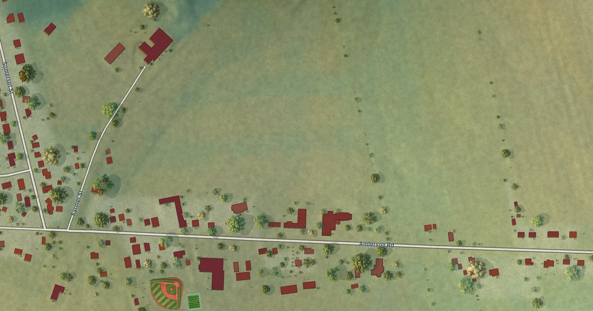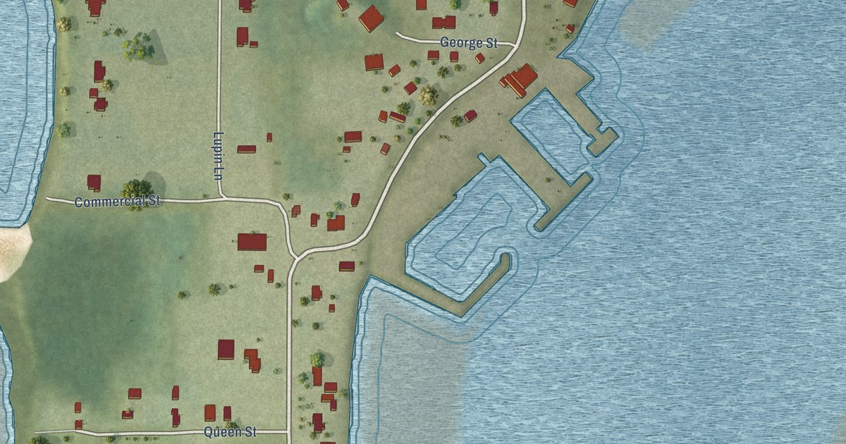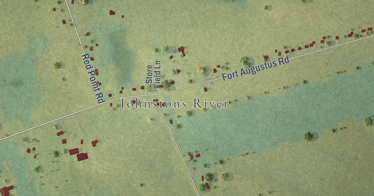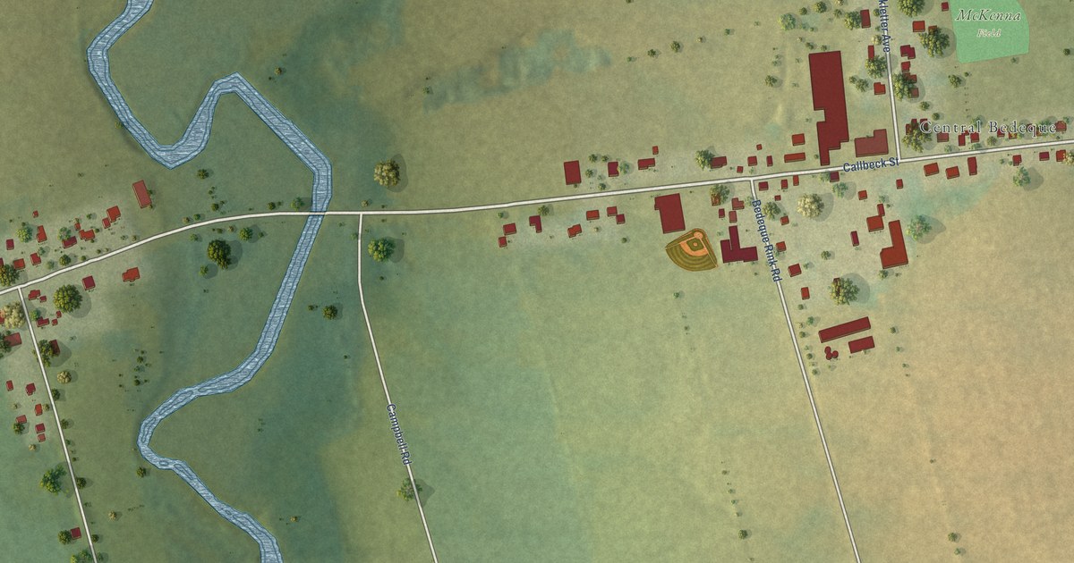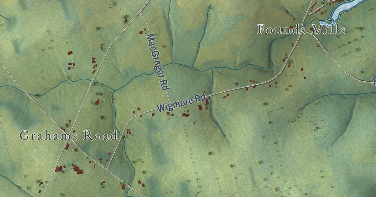
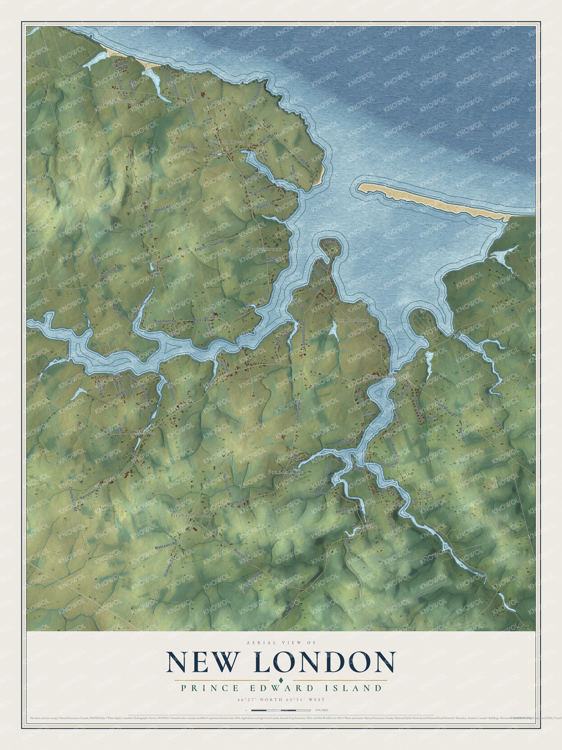
This beautifully detailed map of New London, Prince Edward Island was created in 2026 using aerial imagery combined with modern topographical, census, street and landmark data. It’s a one-of-a-kind view of New London that combines accurate data with a vintage aesthetic. The map shows every building in its true location, many of the roads carry their names, and the shaded topographic relief shows the shape of the land.
Explore an aerial view of New London, Prince Edward Island
On the map you’ll find Park Corner, French River, Stanley Bridge, Long River, Granville, Springbrook, Clinton, Founds Mills, and Campbellton, along with Grahams Road, Marks Road, Long River Road, and more. If you look closely you can even find your house accurately drawn in its correct location. Zoom in on the preview to look for yours.
Take a closer look at the New London map
Names on this map
These names are printed on this map.
Places: Park Corner, French River, Grahams Road, Stanley Bridge, Long River, Granville, Springbrook, Clinton, Founds Mills and Campbellton.
Streets and roads: Marks Road, Long River Road, Rattenbury Road, Trout River Road, Harding Creek Road, Princetown Road, Kerrytown Road, Saint Marys Road, Fountain Road, River Road, Woodside Road, Taylor Road.
More street names, A to Z
Alexandras Way, Applecross Lane, Armels Way, Baker Lane, Beaverbrook Road, Bernard Road, Brendas Lane, Browns Road, Burlington Road, Camelot Road, Campbell Road, Campbellton Road, Cannery Road, Cape Road, Cape Tryon Road, Cobb Road, Countryview Lane, County Line Road, Cousins Shore Road, Cutcliffe Lane, Douglas Road, Dunning Lane, Eagle Crest Drive, English Church Road, Hebrides Lane, Henderson Lane, Hillside Lane, Hilltop Court, Howatt Road, Hurst Road, Inspiration Place, John Paton Avenue, Jollimores Drive, Kellie Lane, Kindred Heights Lane, Lin Lane, Lyle Lane, MacEwen Lane, MacGregor Road, MacKay Lane, MacLeans Road, MacNeill Lane, Mariners Way, McDowell Lane, Mill Road, Montgomery Lane, Morrison Lane, North Road, Ocean Drive, Otter Way, Park Corner Lane, Pattys Lane, Paynter Road, Pine Grove Road, Reid Road, Riverbend Lane, Riverfront Road, Salt Wind Way, Sandhillview Drive, Schoolhouse Lane, Shining Waters Drive, Shipwright Lane, Skye Lane, Smith Road, Souwest Drive, Springbrook Drive, Suds Lane, Sutherland Lane, Wall Avenue, Wharf Road, Whitehead Lane, Wigmore Road, Winnies Way.
See it on a wall
The New London map as an 18 x 24 inch print in a black frame.

This beautifully detailed map of New London makes an attractive addition to your office, library, or den, and it can even be used to teach children the geography and history of the area. It also makes a great gift for anyone who grew up in New London or moved away. When you’re done exploring, click here to get your copy of the New London map.