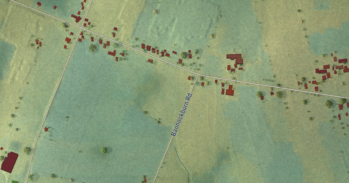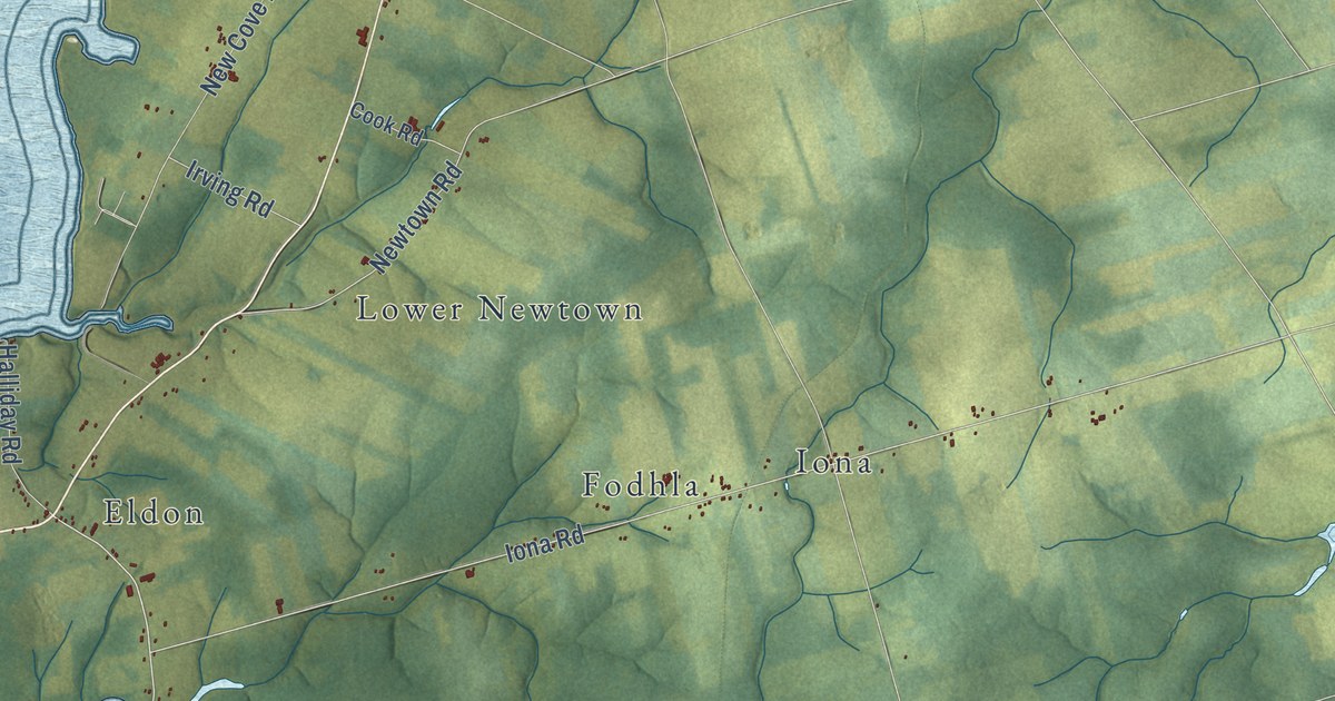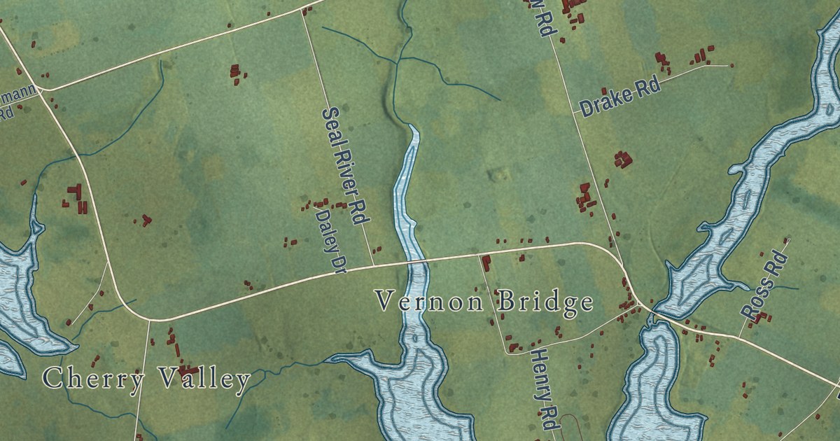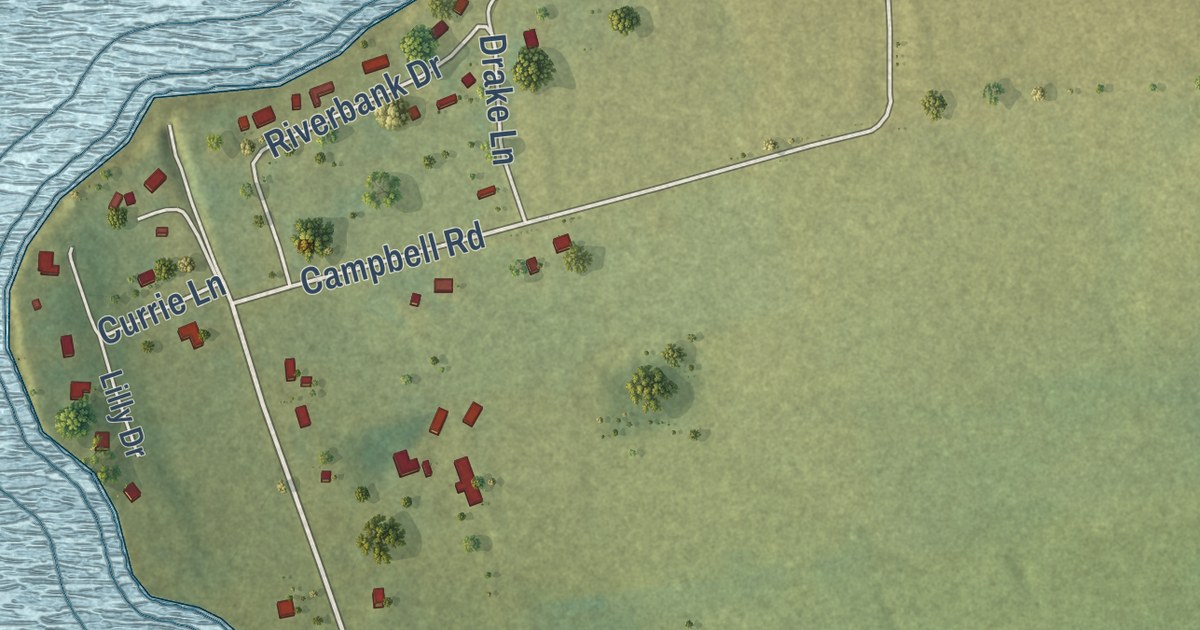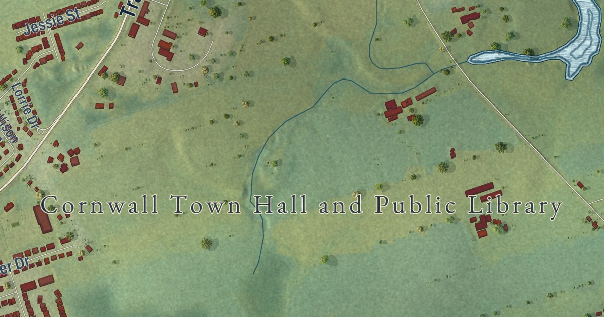
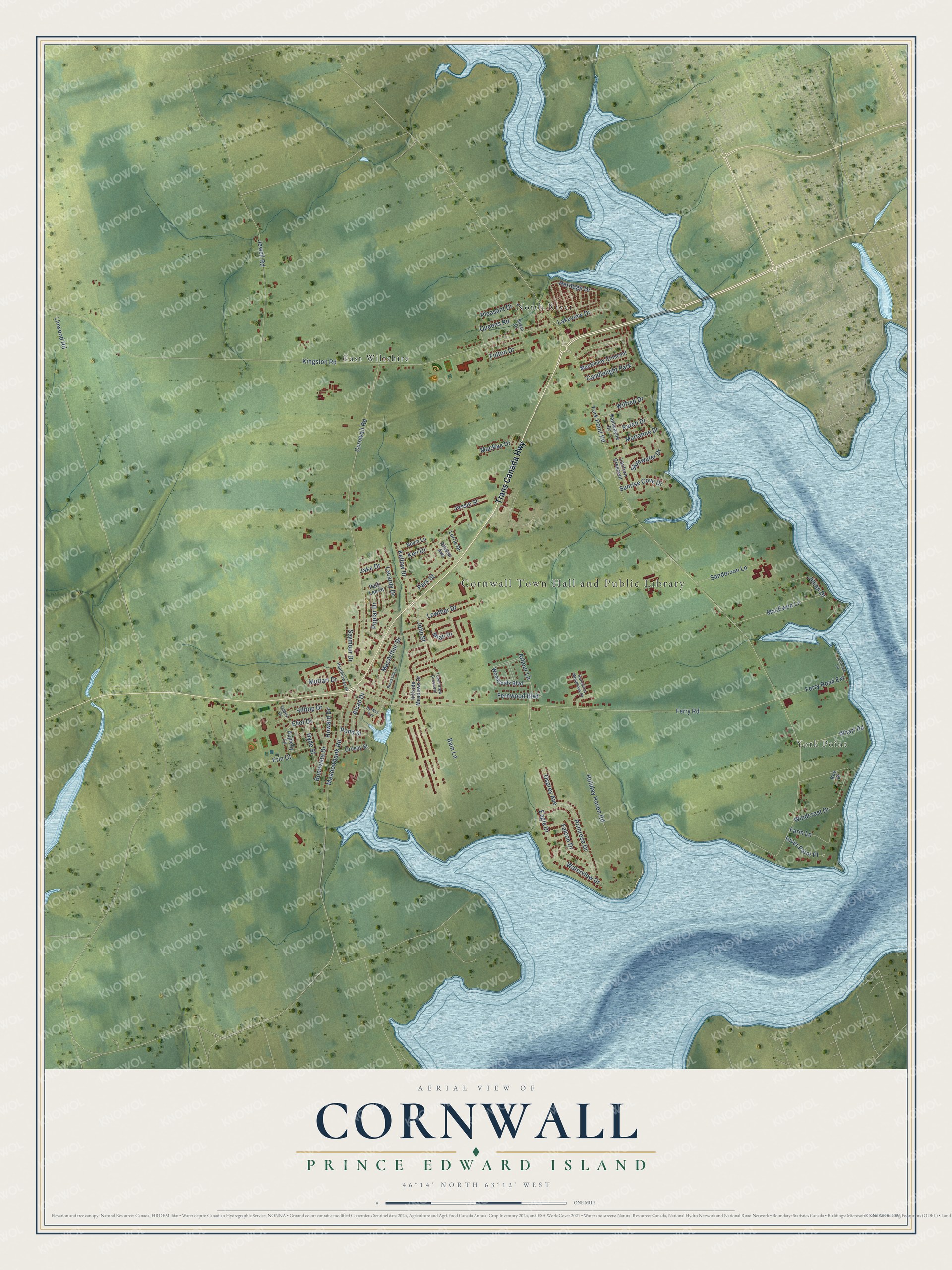
This beautifully detailed map of Cornwall, Prince Edward Island was created in 2026 using aerial imagery combined with modern topographical, census, street and landmark data. It’s a one-of-a-kind view of Cornwall that combines accurate data with a vintage aesthetic. The map shows every building in its true location, many of the roads carry their names, and the shaded topographic relief shows the shape of the land.
Explore an aerial view of Cornwall, Prince Edward Island
On the map you’ll find Cornwall Town Hall and Public Library, York Point, North River, and East Wiltshire, along with Trans Canada Highway, Ferry Road, Kellow Drive, John Street, Meadowbank Road, York Point Road, Arbour Lane, Pond Street, and more. If you look closely you can even find your house accurately drawn in its correct location. Zoom in on the preview to look for yours.
Take a closer look at the Cornwall map
Names on this map
These names are printed on this map.
Places: Cornwall Town Hall and Public Library, York Point, North River, East Wiltshire and Candlelight Park.
Streets and roads: Trans Canada Highway, Ferry Road, Kellow Drive, John Street, Meadowbank Road, York Point Road, Arbour Lane, Pond Street, Kingston Road, Alcan Drive, Osprey Avenue, Lakeview Drive.
More street names, A to Z
Allison Avenue, Appleby Lane, Bain Lane, Bay Drive, Bonavista Drive, Brookside Drive, By Way Avenue, Cornwall Road, Crosby Street, Eagle Drive, Eliot Drive, Erin Court, Falcon Drive, Farm Lane, Fernwood Boulevard, Ferry Road Extension, Fulton Drive, Heatherway Drive, Heritage Drive, Hillside Meadows Drive, Hilltop Drive, Holiday Haven Road, Howard Drive, Hyde Street, Jake Drive, Jessie Street, Jewell Road, Jillian Drive, Karen Drive, Keri Drive, Lacardy Drive, Lantern Crescent, Linwood Road, Lorrie Drive, Lowther Drive, MacArthur Drive, MacEwen Lane, MacKinley Crescent, MacRae Drive, Marianne Drive, Miah Drive, Muttart Drive, Nevin Lane, Pamwayne Drive, Park Street, Patti Lee Drive, Pleasant Drive, Poplar Drive, Primrose Drive, Queens Road, River Point Place, Sanderson Lane, Seymour Drive, Skyewater Drive, Sobey Drive, Sunrise Cove Drive, Sunrise Lane, Sunshine Meadows Drive, Susan Drive, Town View Crescent, Waterview Drive, Wharf Road, Wilfred Drive, Windcrest Drive, Woodlands Boulevard.
See it on a wall
The Cornwall map as an 18 x 24 inch print in a black frame.

This beautifully detailed map of Cornwall makes an attractive addition to your office, library, or den, and it can even be used to teach children the geography and history of the area. It also makes a great gift for someone who left Cornwall and still calls it home. When you’re done exploring, click here to get your copy of the Cornwall map.