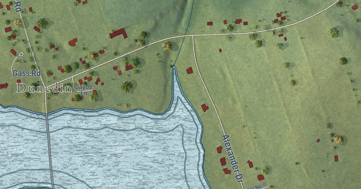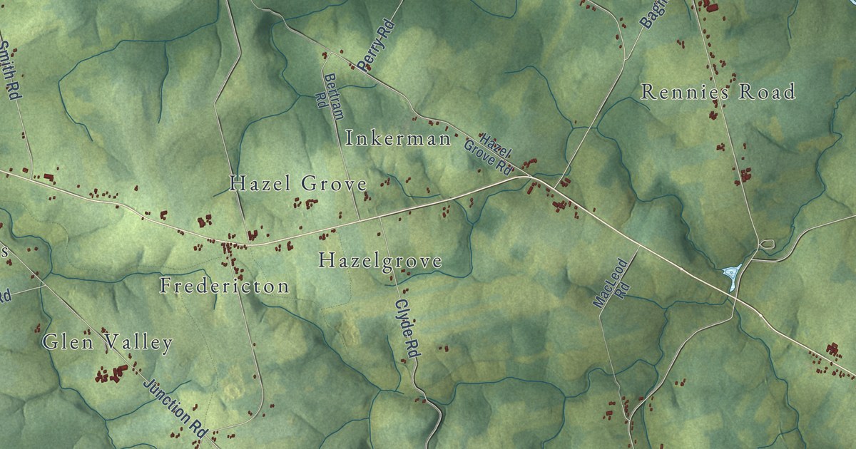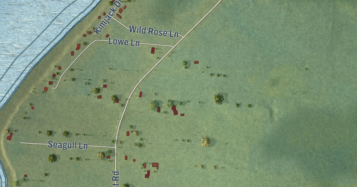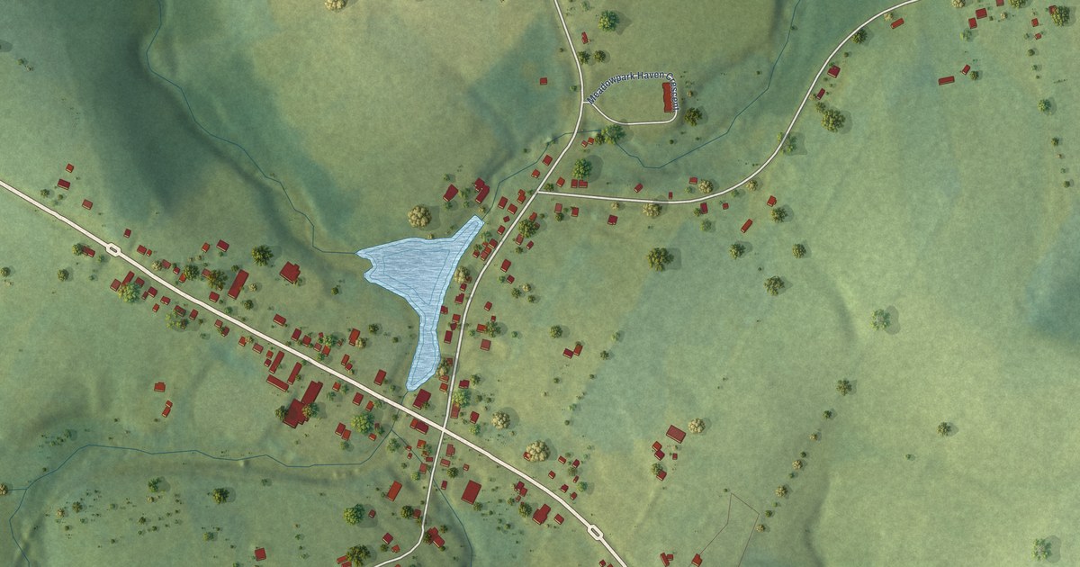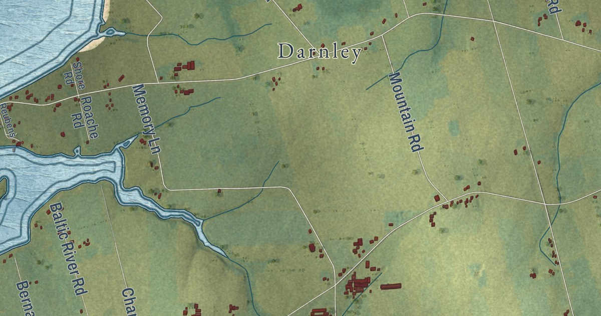
This beautifully detailed map of Malpeque Bay, Prince Edward Island was created in 2026 using aerial imagery combined with modern topographical, census, street and landmark data. It’s a one-of-a-kind view of Malpeque Bay that combines accurate data with a vintage aesthetic. The map shows every building in its true location, many of the roads carry their names, and the shaded topographic relief shows the shape of the land.
Explore an aerial view of Malpeque Bay, Prince Edward Island
On the map you’ll find Sea View, Indian River, Lower Darnley, Spring Valley, Lower Malpeque, Lower Hamilton, Park Corner, Hamilton, Malpeque, and Darnley, along with Irishtown Road, Mountain Road, and more. If you look closely you can even find your house accurately drawn in its correct location. Zoom in on the preview to look for yours.
Take a closer look at the Malpeque Bay map
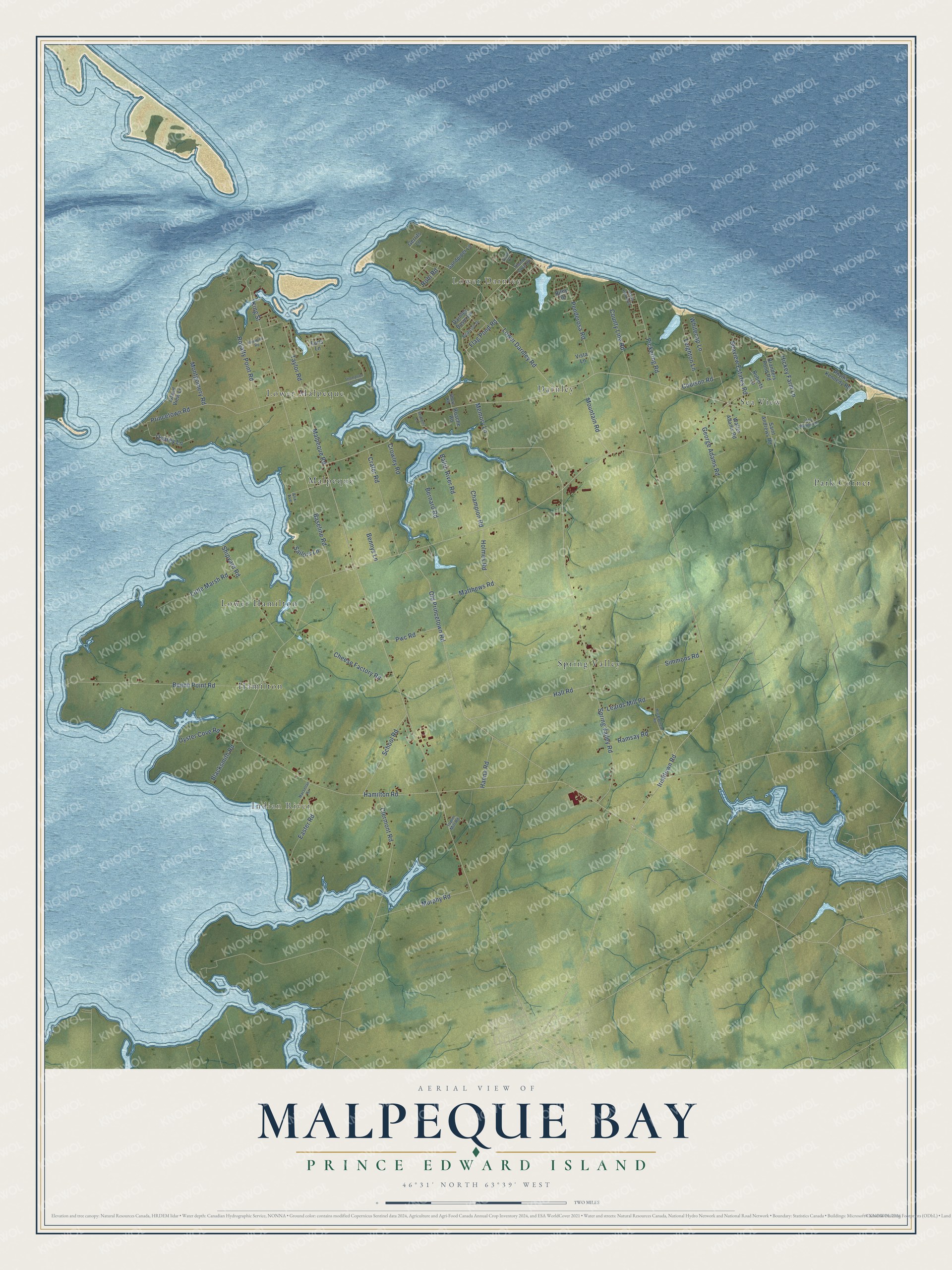
Names on this map
These names are printed on this map.
Places: Sea View, Indian River, Lower Darnley, Spring Valley, Lower Malpeque, Lower Hamilton, Park Corner, Hamilton, Malpeque and Darnley.
Streets and roads: Irishtown Road, Mountain Road, Lower Darnley Road, Memory Lane, Malpeque Road, Baseline Road, County Line Road, Spring Valley Road, King Street, Old Princetown Road, Hall Road, Flag Pond Road.
More street names, A to Z
Alix Avenue, Baltic River Road, Beairsto Drive, Beech Point Road, Bennys Lane, Bernard Road, Blacksmith Road, Branders Pond Road, Bryanton Road, Champion Road, Cheese Factory Road, Clermont Road, Coulson Road, Cove Court, Crafer Road, Crowley Road, Darnley Basin Lane, Earls Lane, Easter Road, George Adams Road, Gerrits Lane, Hamilton Road, Hanna Road, Hickey Farm Lane, Holmes Road, Island View Lane, John Murphy Road, Leards Mill Road, Leighton Lane, Little Marsh Road, MacEachern Road, MacLellan Road, Matthews Road, Montgomery Road, Murphy Road, Ocean View Boulevard, Osprey Lane, Oyster Cove Road, Penderosa Road, Phyllis Kennedy Road, Pickering Road, Princetown Road, Pwc Road, Ramsay Road, Reubens Lane, Riley Drive, Roache Road, Roberts Lane, Robi Road, Royalty Point Road, Sailors Lane, Saint Andrews Road, Sandpiper Lane, School Road, Seaview Estates Road, Shipyard Road, Shore Road, Simmons Road, Taylor Road, Thompson Shore Road, Thunder Cove Road, Tuplin Mill Road, Vista Lane, Walter Adams Road, Whitecap Lane.
See it on a wall
The Malpeque Bay map as an 18 x 24 inch print in a black frame.

This beautifully detailed map of Malpeque Bay makes an attractive addition to your office, library, or den, and it can even be used to teach children the geography and history of the area. It also makes a great gift for anyone who grew up in Malpeque Bay or moved away. When you’re done exploring, click here to get your copy of the Malpeque Bay map.