Detailed Map of Perkinsville, Vermont
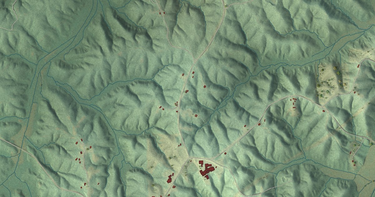
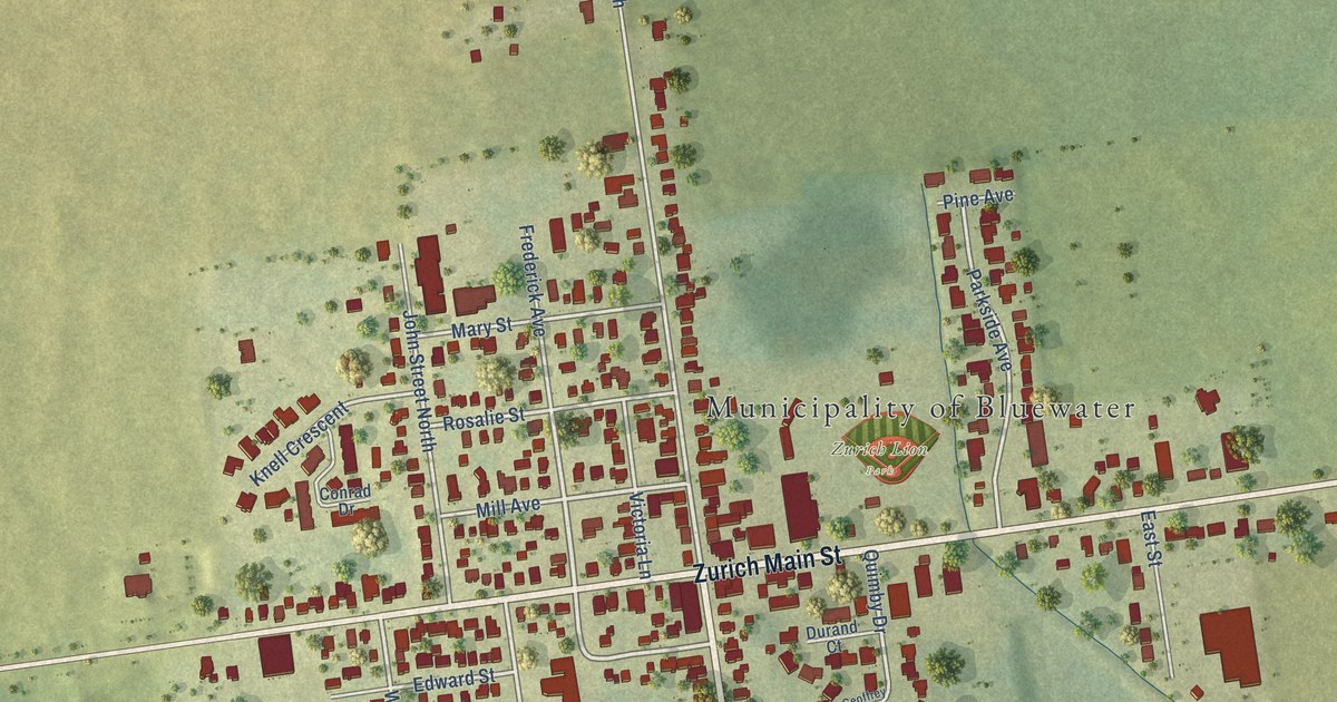
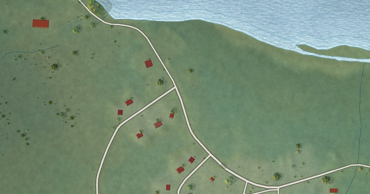
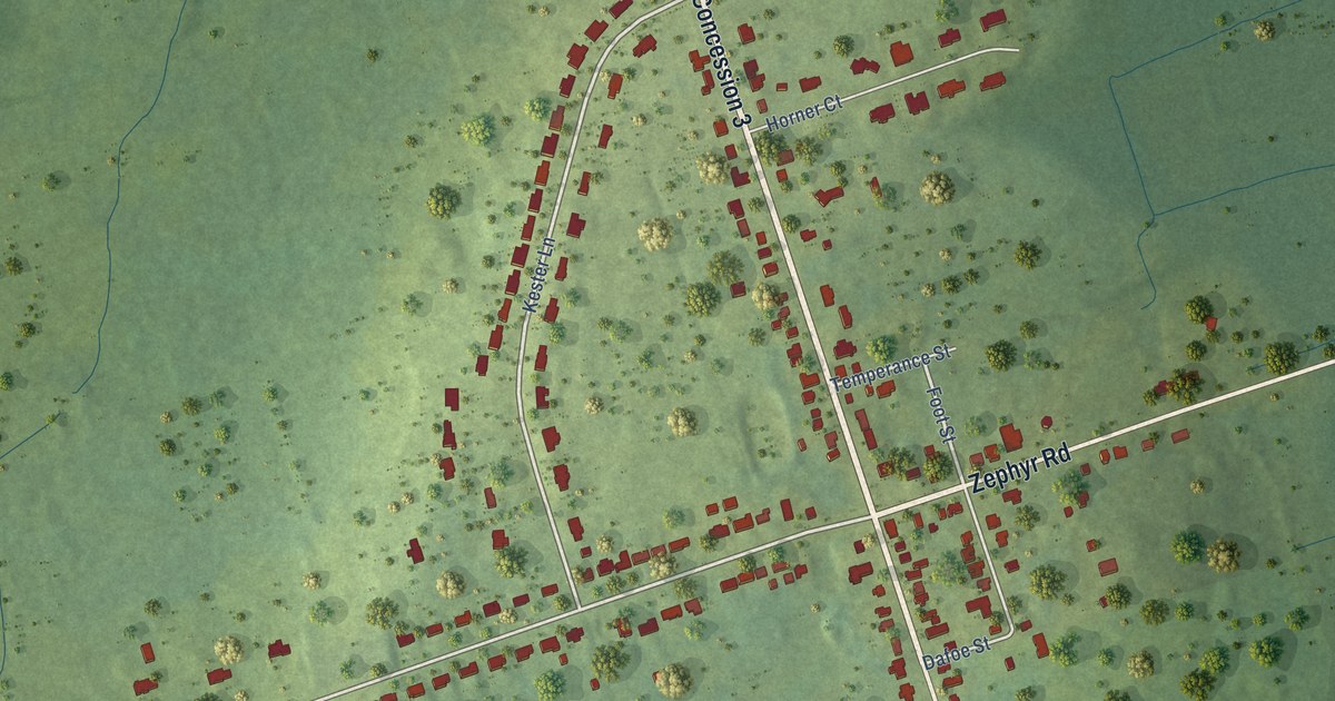
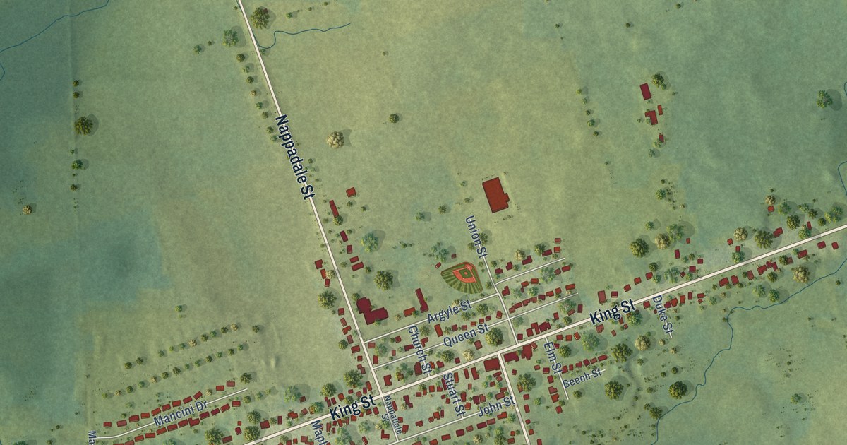
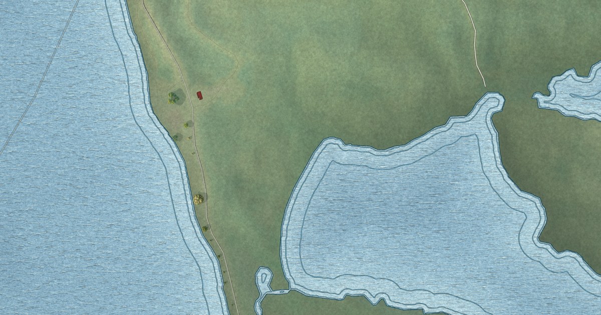
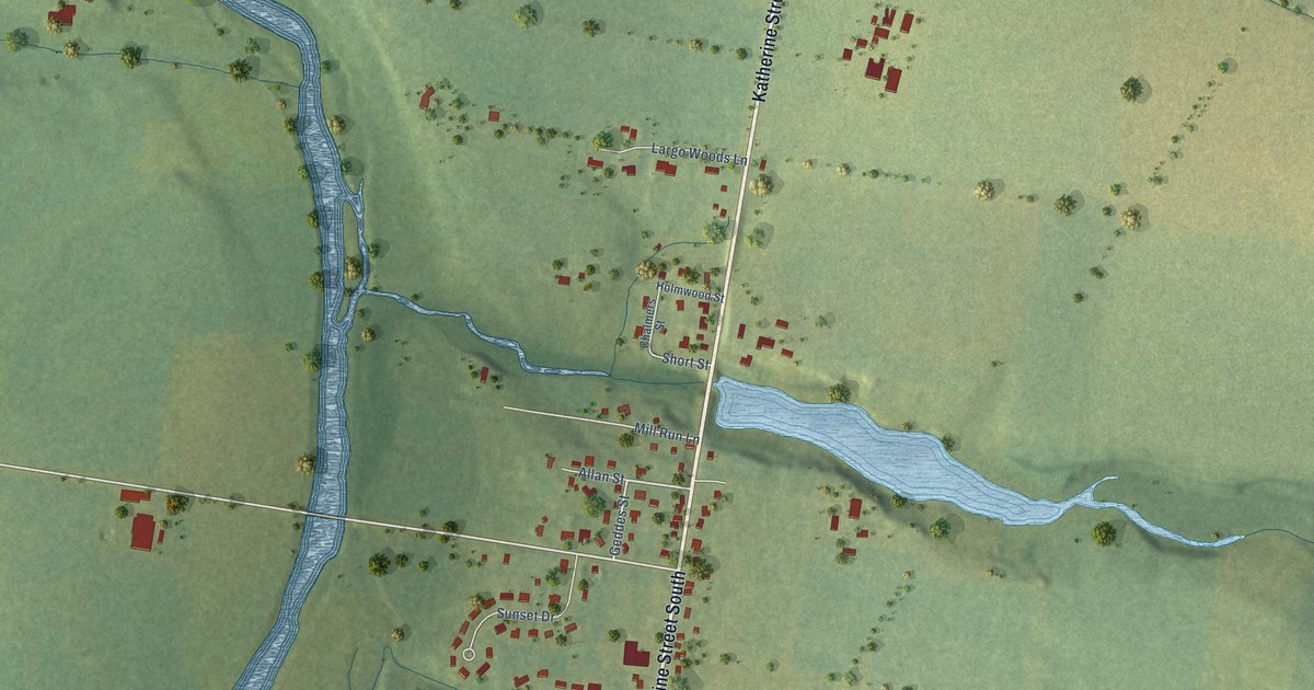
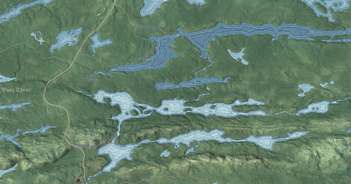
A detailed map of Perkinsville, Vermont, showing every building in its true location, the roads by name, and shaded topographical relief.

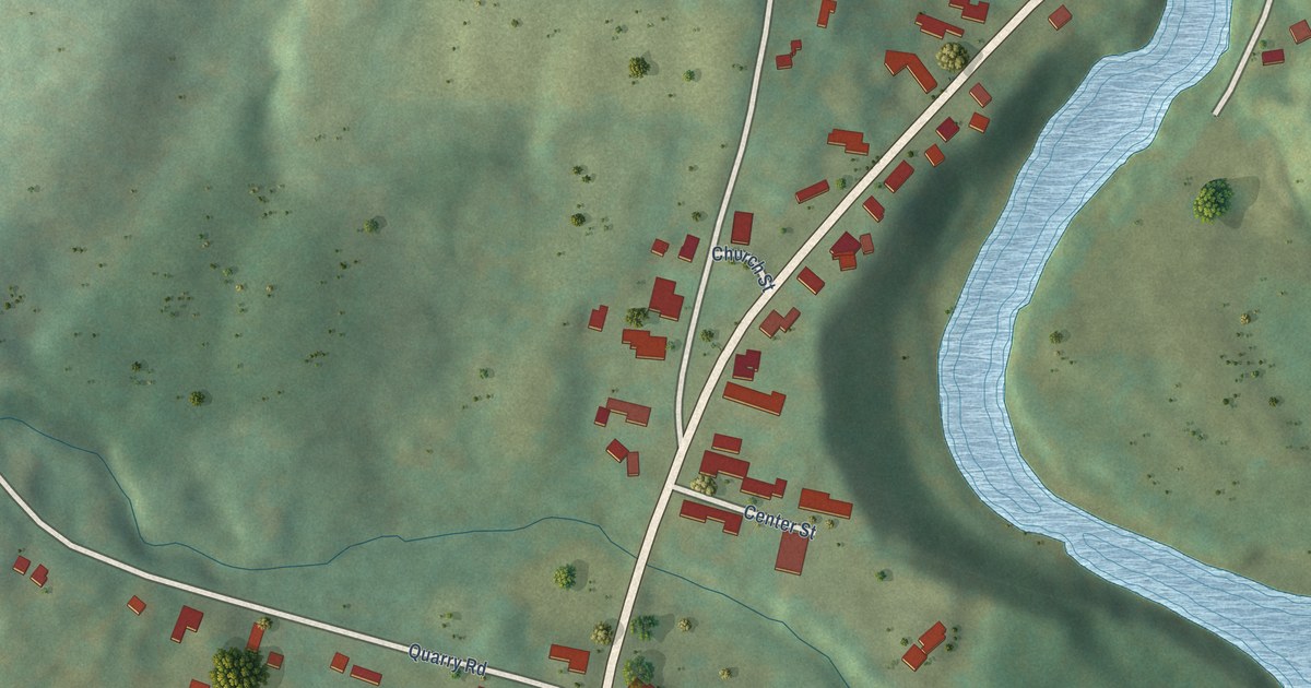
A detailed map of Perkinsville, Vermont, showing every building in its true location, the roads by name, and shaded topographical relief.
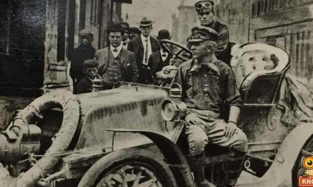
In 1903, Dr. Horatio Nelson Jackson of Burlington, Vermont, made the first drive across America, with a mechanic and Bud, a bulldog in goggles.
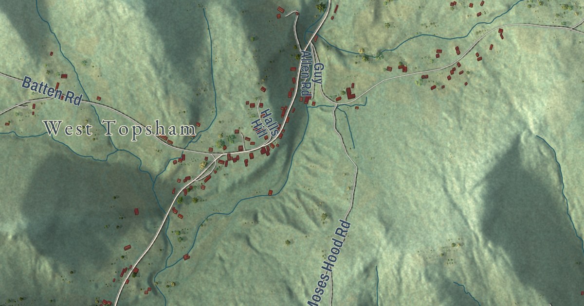
A detailed map of Waits River, Vermont, showing every building in its true location, the roads by name, and shaded topographical relief.
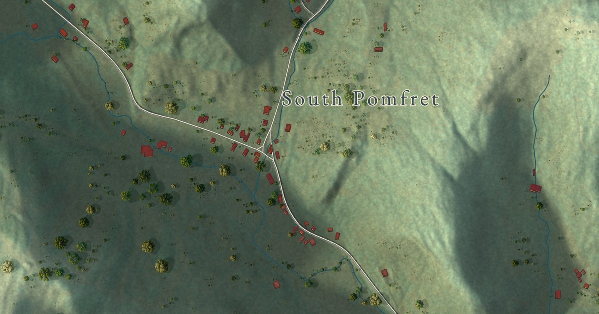
A detailed map of Prosper, Vermont, showing every building in its true location, the roads by name, and shaded topographical relief.
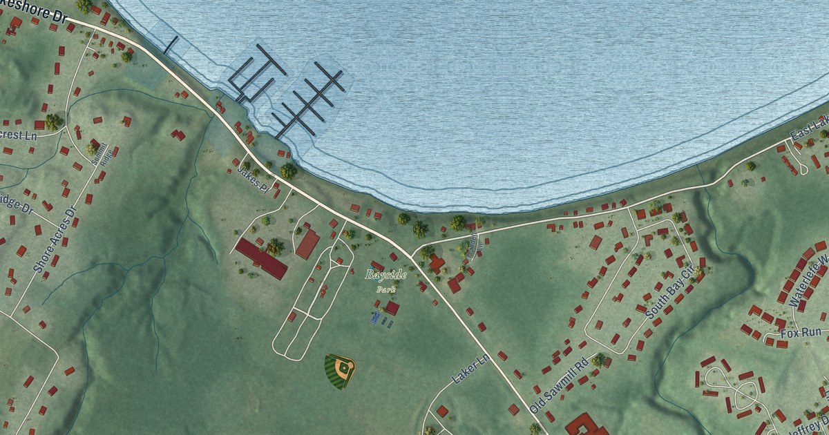
A detailed map of Malletts Bay, Vermont, showing every building in its true location, the roads by name, and shaded topographical relief.
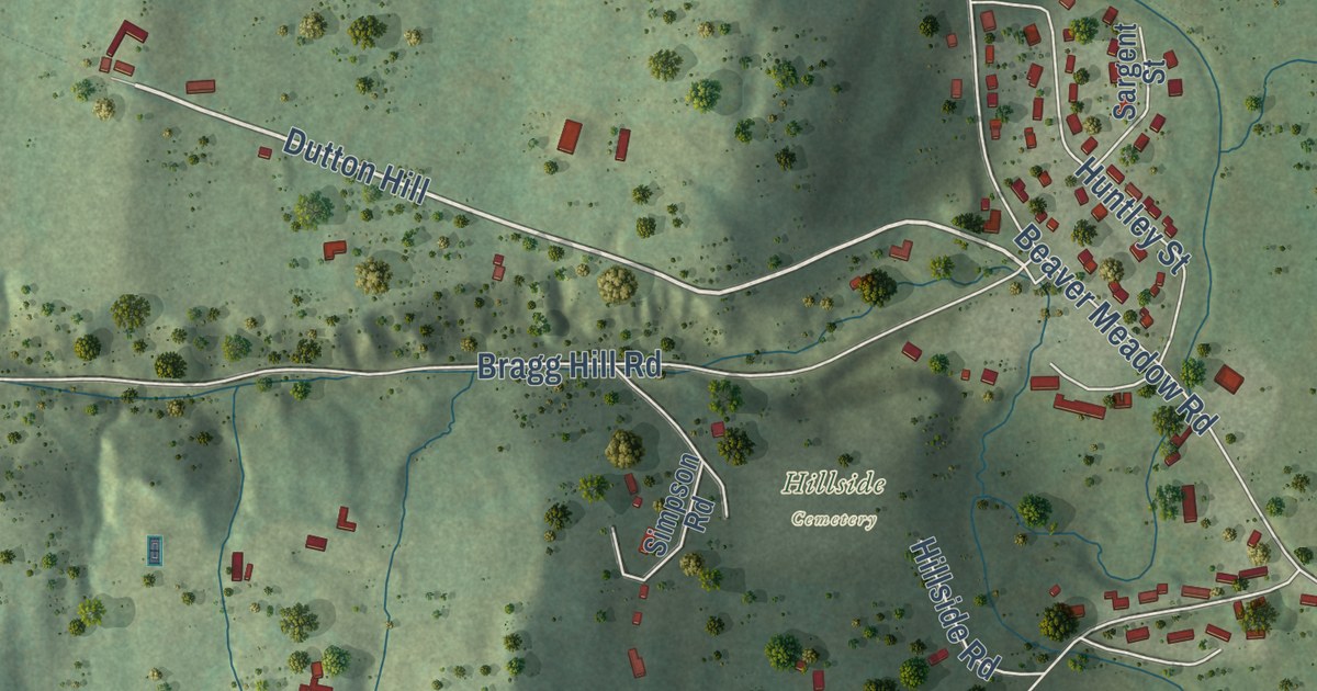
A detailed map of Dothan, Vermont, showing every building in its true location, the roads by name, and shaded topographical relief.
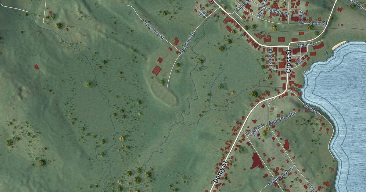
A detailed map of Island Pond, Vermont, showing every building in its true location, the roads by name, and shaded topographical relief.
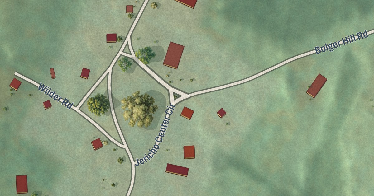
A detailed map of Jericho Center, Vermont, showing every building in its true location, the roads by name, and shaded topographical relief.
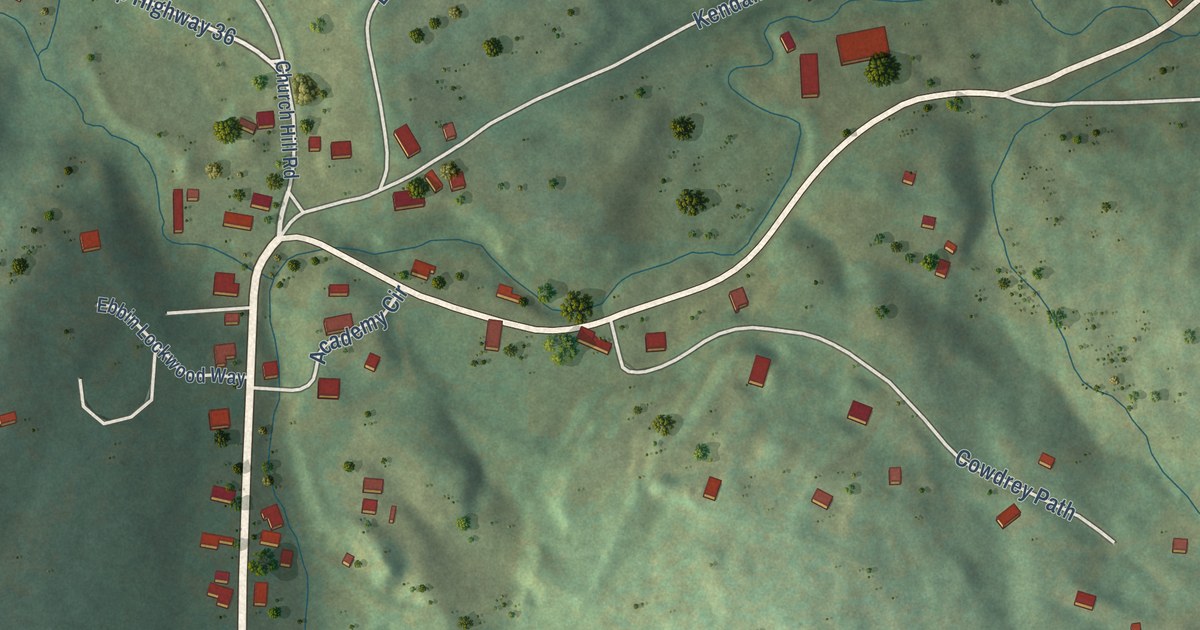
A detailed map of South Woodstock, Vermont, showing every building in its true location, the roads by name, and shaded topographical relief.
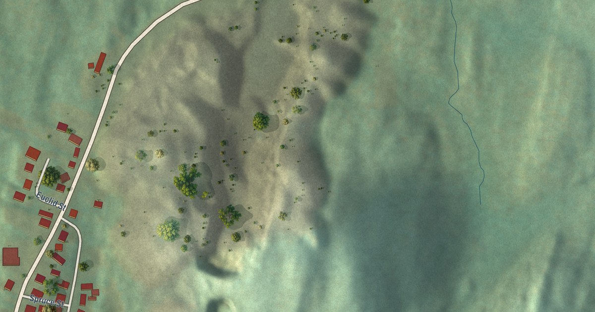
A detailed map of West Pawlet, Vermont, showing every building in its true location, the roads by name, and shaded topographical relief.