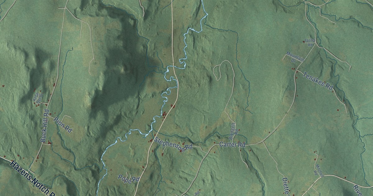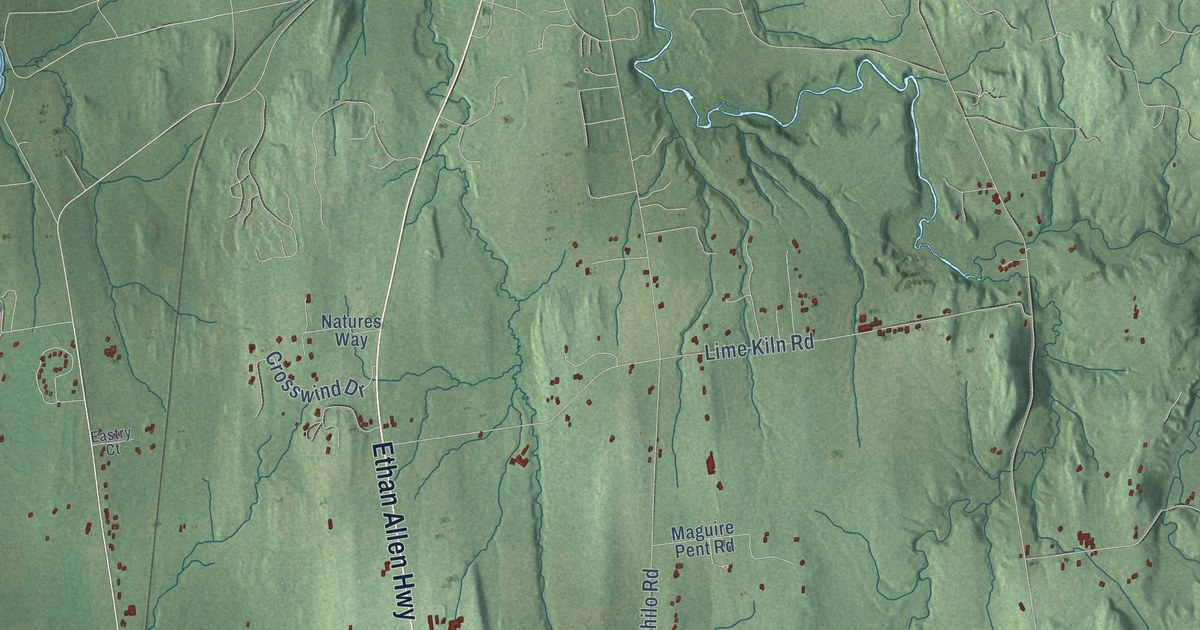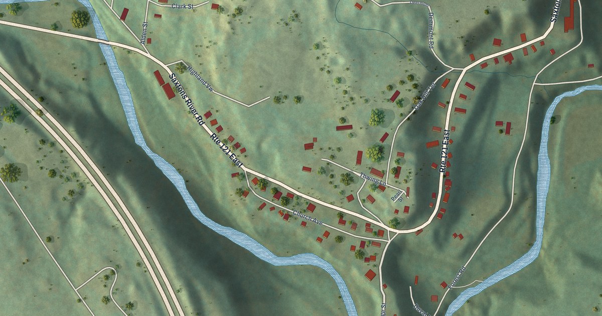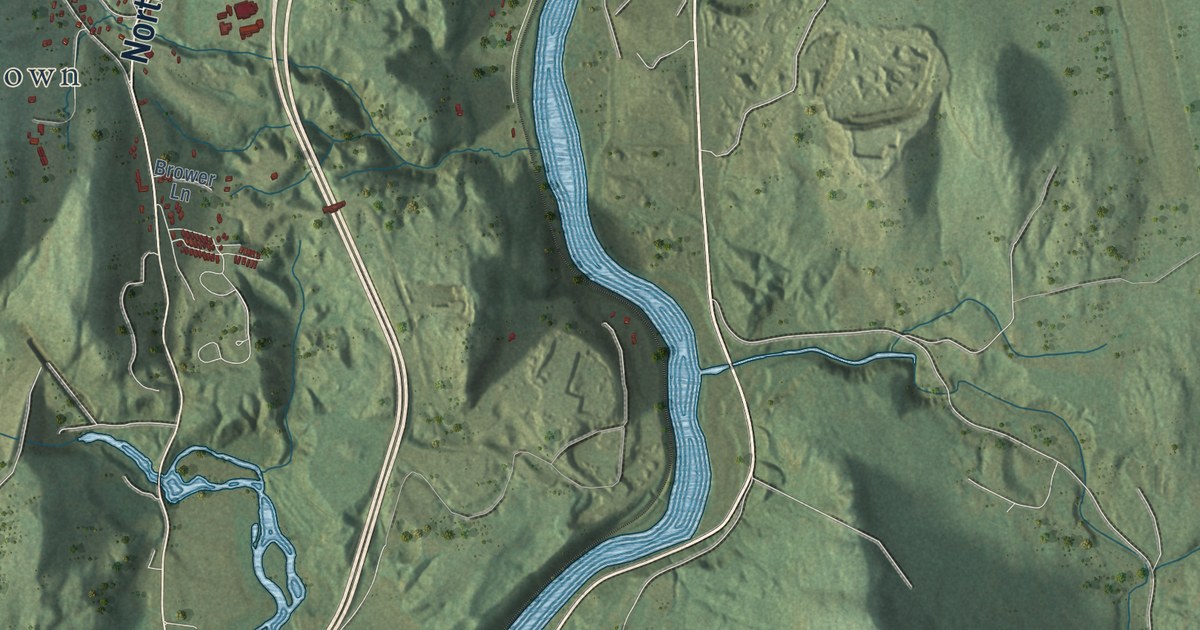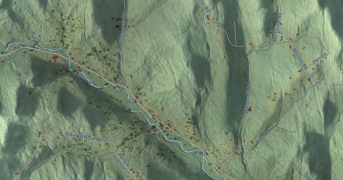
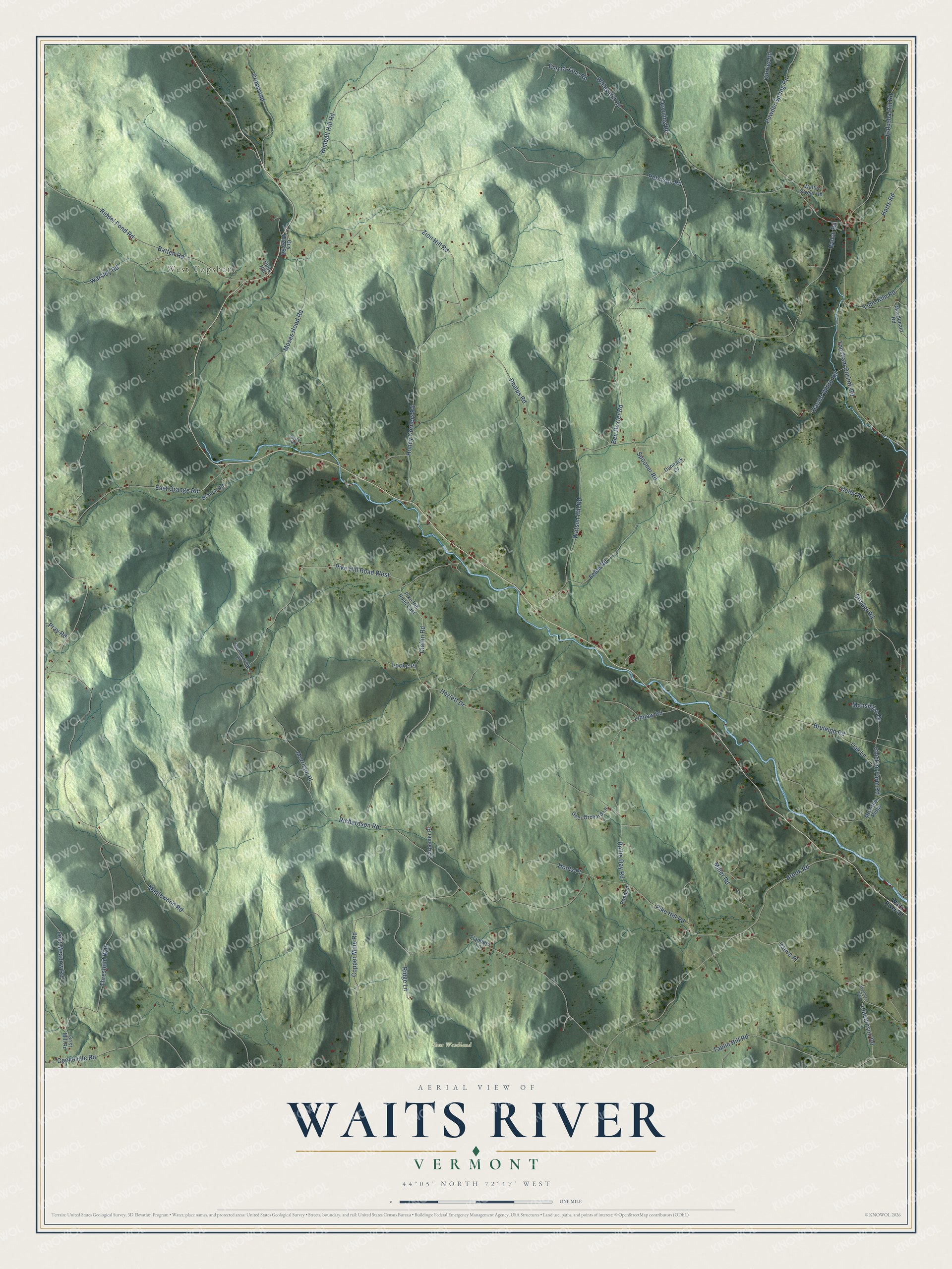
This beautifully detailed map of Waits River, Vermont was created in 2026 using aerial imagery combined with modern topographical, census, street and landmark data. It’s a one-of-a-kind view of Waits River that combines accurate data with a vintage aesthetic. The map shows every building in its true location, many of the roads carry their names, and the shaded topographic relief shows the shape of the land.
Explore an aerial view of Waits River, Vermont
On the map you’ll find West Topsham and Shea Woodland, along with Claflin Road, Ben Dexter Road, Pike Hill Road West, Spooner Road, Richardson Road, Maplewood Road, Pike Hill Road, Brook Road, Peterson Road, Willey Hill Road, and more. If you look closely you can even find your house accurately drawn in its correct location. Zoom in on the preview to look for yours.
Did You Know?
From Internet Archive: "In 1828, Parker W. moved to Waits River in Topsham where he built mills on Waits River which were ruined by the great frmhet of 1829, causing his financial ruin and necessitating his giving up his business enterprise, adding to this misfortune bodily accident which confined him many months."
Waits River is a community in Orange County.
Take a closer look at the Waits River map
Names on this map
These names are printed on this map.
Places: West Topsham and Shea Woodland.
Streets and roads: Claflin Road, Ben Dexter Road, Pike Hill Road West, Spooner Road, Richardson Road, Maplewood Road, Pike Hill Road, Brook Road, Peterson Road, Willey Hill Road, Colby Road, Copper Mine Road.
More street names, A to Z
Batten Road, Branch Road, Bruleigh Road, Carpenter Place, Chicken Farm Road, Cookeville Road, Crossroad, Currier Road, Downing Road, Dunnack Drive, East Orange Road, Emma Jane Road, Felch Road, Flanders Lane, Galusha Hill Road, Geer Orchard Lane, Grist Mill Road, Guy Allen Road, Halls Hill, Harold White Road, Harts Road, Hazlett Drive, Honey Corners Road, Hoots Place, Hutchinson Road, Kimball Hill Road, Lime Kiln Road, Limlaw Road, Locke Place, Lost Meadow Road, Macdonald Road, Mansigian Drive, McArthur Ridge, Miller Road, Morrison Place, Moses Hood Road, Mountainview Lane, Oak Lane, Perry Road, Phelps Road, Pike Hill Road East, Pond Lane, Powder Spring Road, Pray Road, Riddel Pond Road, Ridge Lane, Rollie Day Road, Stryker Road, Taplin Hill Road, Threshold Way, Topsham Corinth Road, Vance Place, Waits River Road, Walter Sweet Road, Warsley Road, Watson Hill Road, Welch Road, Worthley Way, Zion Hill Road.
See it on a wall
The Waits River map as a framed print. Swipe for more.


This beautifully detailed map of Waits River makes an attractive addition to your office, library, or den, and it can even be used to teach children the geography and history of the area. It also makes a great gift for anyone who grew up in Waits River or moved away. When you’re done exploring, click here to get your copy of the Waits River map.