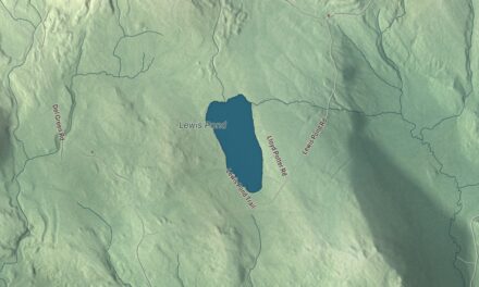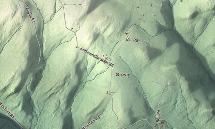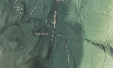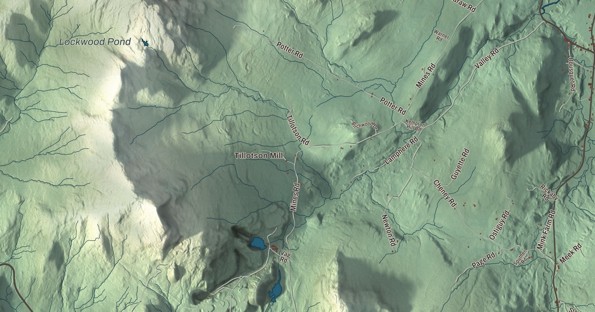
Lowell is the westernmost town in Orleans County, and Route 58 comes down into it from Hazens Notch. This map prints Hazens Notch Road, Valley Road, Mines Road, Irish Hill Road, Carter Road and Bailey Hazen Road, with Tillotson Mill and two ponds, McAllister Pond and Lockwood Pond.
Lowell is a town in Orleans County, Vermont.
KNOWOL made this map in 2026 from public survey data and gave it the look of an old county atlas, shading the hills from United States Geological Survey elevation data and drawing the roads and town line from the Census Bureau. The town covers 56.1 square miles, with the village of Lowell in the middle. Click here to purchase a print of this map for your wall.
A road toward Canada
The first people other than Native Americans to come here were surveyors in 1778, laying out the way for a military road to Canada. In the summer of 1779 Colonel Moses Hazen’s regiment, working on the orders of George Washington, pushed the Bayley Hazen Military Road through Cabot, Walden, Hardwick, Greensboro, Craftsbury, Albany and Lowell. Work stopped at the place now called Hazen’s Notch, on rumors that the British were sending a force to stop it, and the road was never finished. After the war it became a route for settlers moving into the Northeast Kingdom. A stone tablet at the height of land in the notch, placed in 1903, reads “Terminus of the Hazen Road, 1779.”
Vermont granted the town on March 5, 1787, and chartered it on June 7, 1791, as Kelleyvale, after John Kelley (the town’s page spells it Kellyvale). Major Caldwell and his family came from Barre, Massachusetts, as the first settlers in 1806. The town organized in 1812, the same year its first school opened with twelve students, and in 1831 it took the name Lowell. Where that name came from is still uncertain. By 1840 Methodist, Congregational, Baptist and Roman Catholic services were all being held in town. Settlers in the first half of the century came mostly from other states, and in the second half more often from Ireland and French-speaking Canada. The town reached its peak of 1,178 people in 1890, living mainly on farming and lumber and shipping dairy products and hardwood out of state.
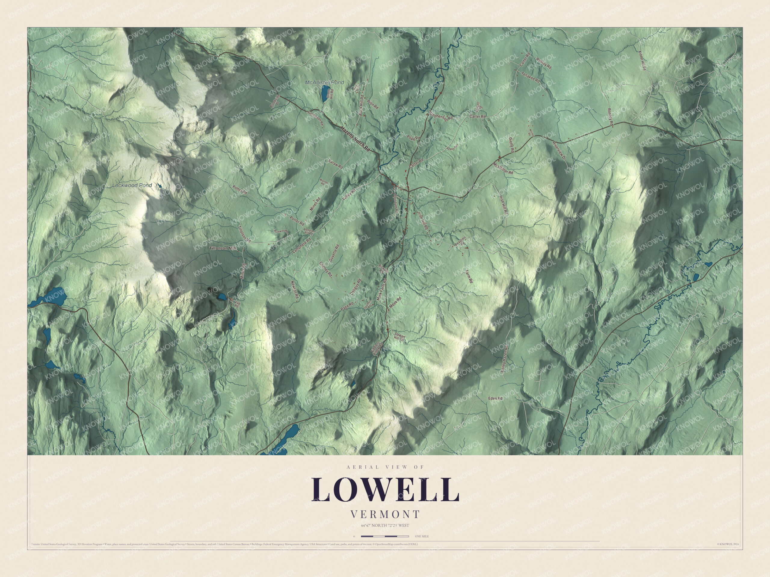
Click to explore a larger preview. The digital watermark does not appear on printed maps.
Names on this map
These names are printed on this map.
Places: Tillotson Mill, McAllister Pond and Lockwood Pond.
Streets and roads: Hazens Notch Road, Valley Road, Mines Road, Irish Hill Road, Carter Road, Bailey Hazen Road, Cheney Road, Potter Road, Robtoy Road, Eden Road, Buck Hill Road, Newton Road.
More street names, A to Z
Adams Road, Baraw Road, Beaulieu Road, Birchwood Drive, Blodgett Road, Bousquet Road, Brookside Drive, Diette Road, Farm Road, Fiddlers Elbow Road, Green Hill Road, Guyette Road, Hutchinson Road, Keep Out Drive, Kempton Hill Road, Kidder Hill Road, Lamphere Road, McAllister Road, Meek Road, Mink Farm Road, Mitchell Road, Ostiguy Road, Page Road, Pion Road, Pope Road, Rickaby Road, Riverview Drive, Souther Road, Stephenson Road, Stewart Hill Road, Tenakee Road, Tillotson Road, Vag Road, Warner Road.
See it on a wall
The Lowell map as a framed print. Swipe for more.


Rock, a mine and the wind
The hills here hold serpentine rock, formed about 400 million years ago. At the Lowell and Westfield line it makes up Brown’s Ledges, colored by iron oxide, where a rare fern grows that can stand the rock’s high nickel content. The rock also carries asbestos, first noted in 1824. Several tons were mined in 1870, and by 1910 Lowell produced half the asbestos mined in the United States. The town’s page says the quarry on Belvidere Mountain was the last asbestos mine to operate in the eastern U.S., and it closed in the early 1990s. On the Lowell Mountains ridge, Kingdom Community Wind began running in 2012, built by Green Mountain Power with the Vermont Electric Cooperative. Its 21 turbines have a capacity of over 63 megawatts, and the town’s page calls it the largest wind farm in Vermont.
Lowell people
John C. Caldwell was born in Lowell in 1833. He graduated from Amherst College and was a school principal in Maine when the Civil War began, and with no military experience he was elected colonel of the 11th Maine Infantry. He rose to brigadier general and commanded a division of the II Corps at Gettysburg. After the war he served the country abroad as consul in Valparaíso, Chile, as Minister to Uruguay and Paraguay, and as consul in San José, Costa Rica. Edgar S. Coolidge farmed in Lowell, served the town as constable and lister, and went to the Vermont House in 1888.
West of Route 100, Vermont Route 58 keeps the Hazens Notch Road name. On the map, come down Hazens Notch Road from the notch, then try Valley Road, Mines Road, Irish Hill Road, Carter Road and Bailey Hazen Road. Tillotson Mill is printed, and so are McAllister Pond and Lockwood Pond. The Missisquoi River runs past the village as well. Lowell dates to 1791.
This map of Lowell is made for everyone who calls Lowell home, and it shows the town as it looks today, from Hazens Notch to the Lowell Mountains. Hang it in an office, library or den, or use it to teach children the geography and history of their town. It’s printed on museum quality archival paper. Zoom in on the preview above to explore the details, then click here to get your copy of the Lowell, Vermont map.

Sources
- Lowell, Vermont, Wikipedia
- Town histories and representatives, L towns, Vermont Legislature
- Bayley Hazen Military Road, Wikipedia
- Hazen’s Notch, Wikipedia
- Vermont Route 58, Wikipedia
- Wind power in Vermont, Wikipedia
- Missisquoi River, Wikipedia
- John C. Caldwell, Wikipedia
- Edgar S. Coolidge, Wikipedia