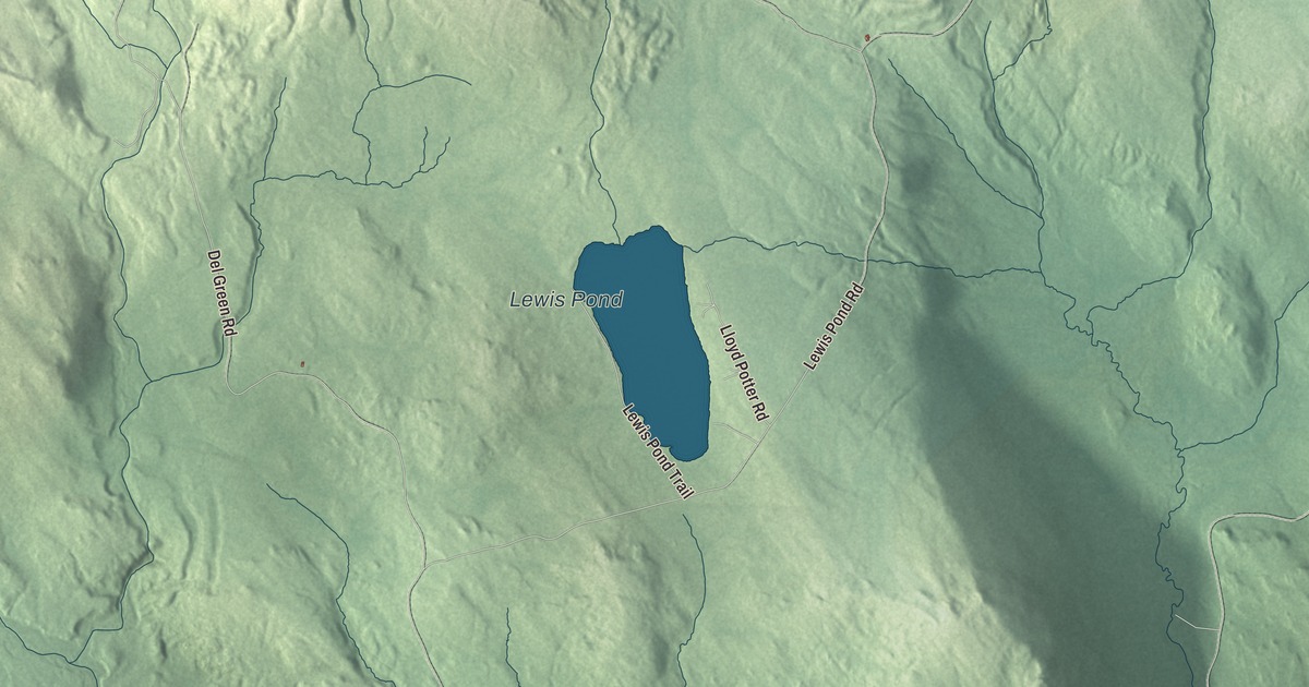
Lewis is a town that never gained enough people to organize, nearly 40 square miles of forest crossed by two branches of the Nulhegan River in Essex County. This map prints Lewis Pond Road, Logger Brook Road, East Branch Road, Del Green Road, Lepine Road and the Lewis Pond Trail. Look for Lewis Pond and the East Branch Nulhegan River too.
Lewis is a town in Essex County, Vermont.
KNOWOL made this map in 2026 from public survey data and gave it the look of an old county atlas, shading the hills from United States Geological Survey elevation data and drawing the roads and town line from the Census Bureau. The town covers 39.7 square miles, nearly all of it land, and sits at about 1,421 feet. Click here to purchase a print of this map for your wall.
A town without townspeople
Lewis is named for three landholders, Nathan, Sevignior and Timothy Lewis. Its neighbors Averill and Lemington were both chartered in 1762. The state incorporated Lewis, but the town was never formally organized, because it never gained a large enough permanent population, and for most of the 20th century its population was zero. The 2020 census counted 2 people, though the town’s page notes that the true number may still have been zero, since Lewis shares a census block with nearby towns and gores. All of the land that isn’t federally protected belongs to one logging company, Weyerhaeuser.
With no town government of its own, Lewis is run along with Averill, Ferdinand and the nearby gores by the Unified Towns and Gores of Essex County. In 2000 a three-member Board of Governors was elected for them, replacing the old Essex County Supervisor system. Around the town lie Avery’s Gore to the north, Averill to the northeast, Lemington to the east, Bloomfield to the southeast, Brunswick to the south, Ferdinand to the southwest and Brighton to the west.
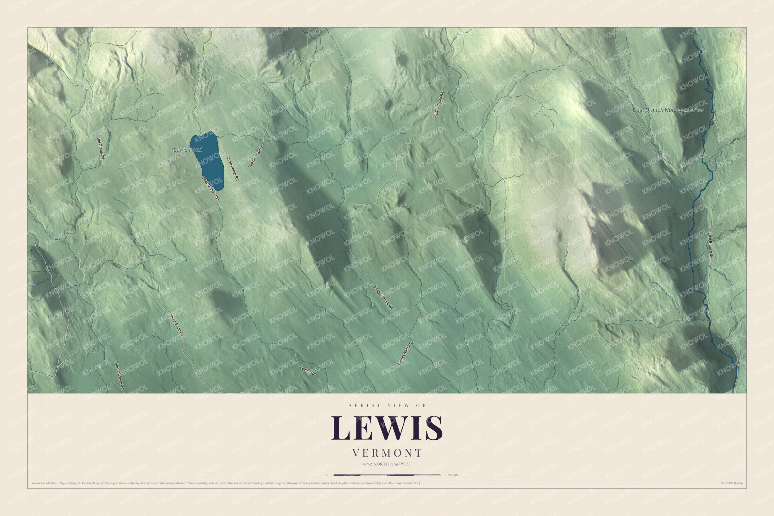
Click to explore a larger preview. The digital watermark does not appear on printed maps.
Names on this map
These names are printed on this map.
Places: Lewis Pond and East Branch Nulhegan River.
Streets and roads: Lewis Pond Road, Logger Brook Road, East Branch Road, Del Green Road, Lepine Road, Lewis Pond Trail, Eagles Nest Road, North Branch Road and Lloyd Potter Road.
See it on a wall
The Lewis map as a framed print. Swipe for more.


Nulhegan water
Before settlers came, the Abenaki traveled this country by the Connecticut and Nulhegan rivers. Two branches of the Nulhegan cross Lewis. The North Branch flows southeast through the western part of town, and the East Branch, rising in Averill, passes through the eastern corner of Lewis on its way to Bloomfield, where it joins the main river 2.3 miles above the Connecticut. The Nulhegan Basin Division of the Silvio O. Conte National Fish and Wildlife Refuge, more than 26,000 acres, takes in land in Brunswick, Ferdinand, Bloomfield and Lewis, with its headquarters and visitor contact station in Brunswick. The basin itself is a circle roughly 10 miles across, and whether an asteroid or an ancient volcano made it has never been proven.
On the map, follow Lewis Pond Road, then Logger Brook Road, East Branch Road, Del Green Road and Lepine Road, and walk the Lewis Pond Trail. Look for Lewis Pond along the way, and for the East Branch Nulhegan River crossing the eastern corner of town.
This map of Lewis is made for everyone who calls Lewis home, and it shows the town as it looks today, from Lewis Pond to the East Branch. Hang it in an office, library or den, or use it to teach children the geography and history of their town. It’s printed on museum quality archival paper. Zoom in on the preview above to explore the details, then click here to get your copy of the Lewis, Vermont map.

Sources
- Lewis, Vermont, Wikipedia
- Lewis, Vermont (page source with the infobox and neighbors), Wikipedia
- Averill, Vermont, Wikipedia
- Lemington, Vermont (page source with the infobox dates), Wikipedia
- Nulhegan River, Wikipedia
- Silvio O. Conte National Fish and Wildlife Refuge, Wikipedia
- Essex County, Vermont, Wikipedia