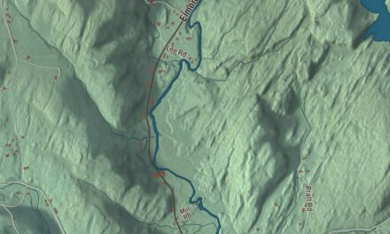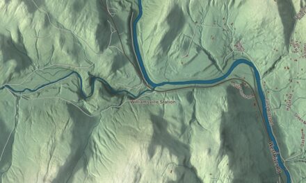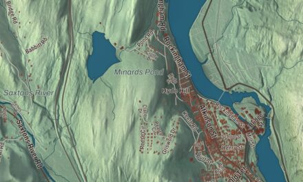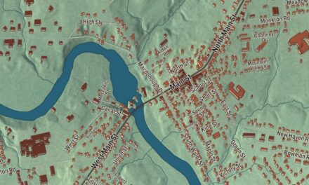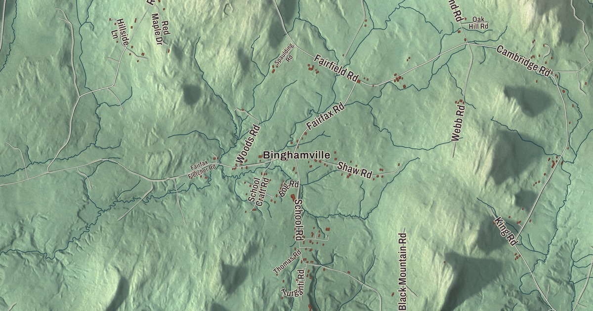
Fletcher is a town of small settlements: Binghamville, East Fletcher and West Fletcher, all printed on this map, plus the settlement of Fletcher itself. Bakersfield Road, Cambridge Road, Fairfax Road, Fairfield Road, Howrigan Road and Rugg Road tie them together.
Fletcher is a town in Franklin County, Vermont.
KNOWOL made this map in 2026 from public survey data and styled it like an old county atlas. Hill shading comes from United States Geological Survey elevation data, and the roads and the town line come from Census Bureau files. Fletcher lies in southern Franklin County, with Lamoille County along its southeast side and a short stretch of the Lamoille River as its southern line. Click here to purchase a print of this map for your wall.
A meeting house on Cambridge Road
Vermont granted Fletcher on November 7, 1780, and chartered it on August 20, 1781, according to the Vermont Legislature, and the town organized on March 16, 1790. Its people built their first church in 1830, a union church shared by several congregations. In 1871 they replaced it with the Fletcher Union Church, built across the street by N. R. Bingham, a well-known regional master builder. It stands on a rise at a bend in Cambridge Road, east of Fairfax Road, with a square tower rising to a louvered belfry.
The last recorded religious use of the building was by a Universalist group in 1899. In 1908 the town took it over as a community meeting house, and a stage was added in 1919. Now called the Fletcher Community House, it has hosted town meetings, socials and the local Grange for more than a century, one of only a few public buildings in town. It was listed on the National Register of Historic Places in 1982.
Binghamville has the Binghamville United Methodist Church and the Fletcher General Store. Vermont Route 108 passes through East Fletcher, leading north to Enosburg Falls and south to Jeffersonville. Metcalf Pond lies in the north-central part of town, and Fletcher Mountain, at 2,150 feet, rises at the eastern end.
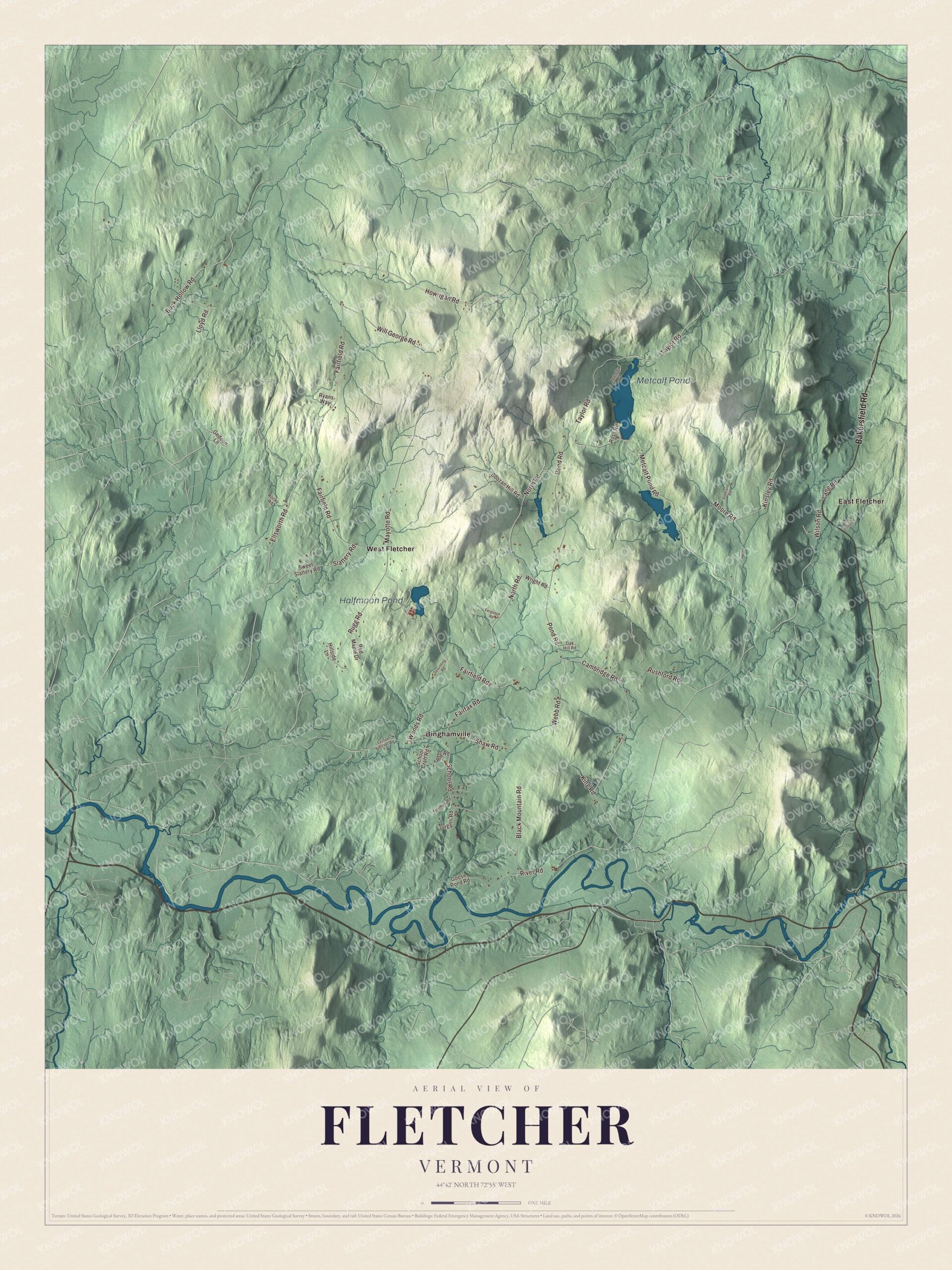
Click to explore a larger preview. The digital watermark does not appear on printed maps.
Names on this map
These names are printed on this map.
Places: Metcalf Pond, Halfmoon Pond, Binghamville, East Fletcher and West Fletcher.
Streets and roads: Bakersfield Road, Cambridge Road, Fairfax Road, Howrigan Road, Rugg Road, Fairfield Road, Taylor Road, Metcalf Pond Road, Slattery Road, North Road, School Road, Kinsley Road.
More street names, A to Z
Black Mountain Road, Bog Road, Boozan Hill Road, Buck Hollow Road, Ellsworth Road, Fairfax Fletcher Road, Ferguson Road, Gedeon Lane, Goose Pond Road, Hillside Lane, King Road, Lang Road, Lloyd Road, Mayotte Road, Moore Road, Oak Hill Road, Pine Cliffs Road, Pond Road, Red Maple Drive, Reynolds Road, River Road, Rocky Road, Ross Road, Rushford Road, Ryans Way, School Craft Road, Shaw Road, Spaulding Road, Sweet Slattery Road, Thomas Road, Turganti Road, Vreeland Road, Webb Road, Will George Road, Wilson Road, Woods Road, Wright Road.
See it on a wall
The Fletcher map as a framed print. Swipe for more.


Born in Fletcher
Elmina M. Roys was born in Fletcher on September 8, 1828, the second of eight children, at a time when the town’s schools ran only half the year. She entered the Woman’s Medical College of Philadelphia in 1862, became the first woman physician in Toledo, Ohio, and in 1893 founded The Woman’s Medical Journal and served as its first editor. W. H. H. Bingham, born in Fletcher in 1813, became a respected Stowe lawyer and the Democratic candidate for governor in 1874, 1876 and 1878. Milo White, born here in 1830, moved west and served Minnesota in Congress. Donly C. Hawley, born in Fletcher in 1855, grew up to be a Burlington surgeon and that city’s mayor.
On the map, find Binghamville, East Fletcher and West Fletcher, then trace Cambridge Road and Fairfax Road to the old meeting house, and Bakersfield Road, Fairfield Road, Howrigan Road and Rugg Road across the rest of town. Metcalf Pond and Halfmoon Pond are labeled too. Fletcher dates to 1781.
This map of Fletcher is made for everyone who calls Fletcher home, and it shows the town as it looks today, from Binghamville to the river. Hang it in an office, library or den, or use it to teach children the geography and history of their town. It’s printed on museum quality archival paper. Zoom in on the preview above to explore the details, then click here to get your copy of the Fletcher, Vermont map.

Sources