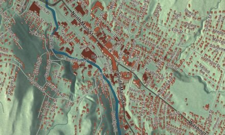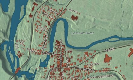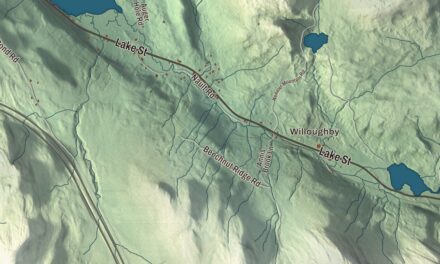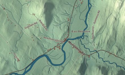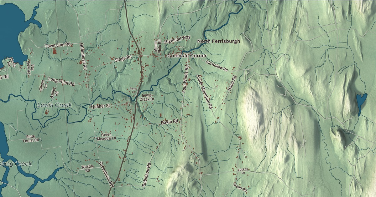
In Ferrisburgh the farm country runs right down to Lake Champlain, and Otter Creek finishes its long trip to the lake here. This map prints North Ferrisburgh and Coleman Corner, Otter Creek, Little Otter Creek, Lewis Creek and South Slang Creek, along with Sand Road, Shellhouse Mountain Road, Hawkins Road, Town Line Road, Harbor Drive and Botsford Road.
Ferrisburgh is a town in Addison County, Vermont.
KNOWOL made this map in 2026 from public survey data and gave it the look of an old county atlas. Its hill shading comes from United States Geological Survey elevation data, and its roads and town line come from the Census Bureau. Ferrisburgh fills the northwest corner of Addison County, with its western line out in the middle of Lake Champlain, where Vermont meets New York, and U.S. Route 7 as its main highway. Click here to purchase a print of this map for your wall.
Rokeby
Ferrisburgh is named for Benjamin Ferris, who applied for its charter, and New Hampshire granted it on June 24, 1762. The Vermont Legislature’s records spell it Ferrisburg, a spelling still seen today, and give its organization date as March 29, 1785. Not long after, in 1793, a Quaker from Newport, Rhode Island, named Thomas Rowland Robinson bought a farm on what’s now U.S. Route 7. His family called it Rokeby, and they lived there for almost 200 years as millers, farmers, writers, naturalists and artists.
In the 1830s and 1840s, under Rowland Thomas Robinson and his wife, Rachel Gilpin Robinson, Rokeby was a safe house on the Underground Railroad. The Robinsons were Quakers and committed abolitionists who openly sheltered people escaping slavery, and they helped found the Vermont Anti-Slavery Society. Their letters name the freedom seekers they helped and describe how the network worked, and they remain an important record of it. Rokeby became a National Historic Landmark in 1997 and is open as the Rokeby Museum at 4334 U.S. Route 7.
The family’s talents carried on. Their son Rowland Evans Robinson, born at Rokeby in 1833, wrote stories and novels of rural Vermont life, painted the farm and the lake shore, and was an early voice for conserving nature. When his eyesight failed, he kept writing with the help of a grooved board. His daughter, Rachael Robinson Elmer, was born at Rokeby in 1878 and became an artist whose painted postcards of New York City were said to have “changed the world of American postcards.” Stewart Van Vliet, born in town, served as a Union general in the Civil War.
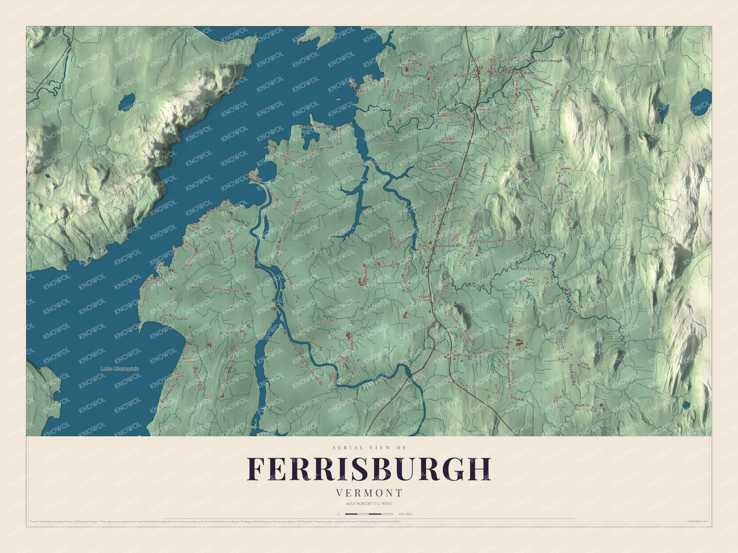
Click to explore a larger preview. The digital watermark does not appear on printed maps.
Names on this map
These names are printed on this map.
Places: North Ferrisburgh, Coleman Corner, Ecole Champlain, Little Otter Creek, Otter Creek, South Slang Creek, Lewis Creek, Lake Champlain and Button Bay State Park.
Streets and roads: Sand Road, Shellhouse Mountain Road, Hawkins Road, Town Line Road, Harbor Drive, Botsford Road, Th 58, Basin Harbor Road, Little Chicago Road, Middlebrook Road, Monkton Road, Fuller Mountain Road.
More street names, A to Z
Arnold Bay Road, Ashley Road, Avery Road, Bay Road, Bay View Road, Bisbee Road, Buckwheat Street, Burroughs Farm Road, Button Bay Lane, Button Bay Road, Church Street, Clark Woods Road, Cross Road, Dakin Road, Dean Road, Diamond Island Road, Driftwood Point Lane, Echo Road, Ferrisburg Road, Ferry Road, Fields Road, Fort Cassin Road, Four Winds Road, Gilson Lane, Greenbush Road, Green Meadow Lane, Grosse Point Road, Haigis Lane, Hand Road, Hawkins Bay Lane, Highland Way, Jersey Street, Jockey Lane, Kellogg Bay Road, Kimball Dock Road, Lewis Creek Drive, Links Lane, Locust Lane, Long Point Road, Mount Philo Road, North Road, Old Hollow Road, Old Ledge Lane, Pea Ridge Road, Pierce Lane, Plank Road, Pond Road, Pr Drive, Quaker Street, Raymond Road, Red Mill Road, Reed Road, Reubens Way, Robinson Road, Round Barn Road, Satterly Road, Schoolhouse Road, Shore Road, Sleepy Hollow Lane, South Middlebrook Road, Spencer Farm Road, Stage Road, State Forest Road, Summer Point Lane, Sunset Lane, Th 33, Thendara Road, Trail's End, Tuppers Crossing, Viscido Drive, Walker Road, Webster Road, Westin Road, Wing Road.
See it on a wall
The Ferrisburgh map as a framed print. Swipe for more.


Lake shore and creeks
Otter Creek, the longest river entirely within Vermont, empties into Lake Champlain in Ferrisburgh. Two state parks sit on the lake: Button Bay, with 253 acres and a nature center on Button Point, and Kingsland Bay, with 264 acres and two peninsulas set aside as a natural area. At Basin Harbor, the Lake Champlain Maritime Museum opened in 1986 in an old stone schoolhouse on the grounds of the Basin Harbor Club, and it builds replica boats and studies the shipwrecks of the lake. Just north of the resort, Camp Marbury welcomed girls each summer from 1921 to 1942.
Inland, Field Farm on Fuller Mountain Road dates to 1787, when Archibald Collins acquired the land; a brook crossing its back acres feeds Little Otter Creek. And beside Route 7 the Vergennes Station House, built about 1851, was moved up the line and restored for the Ferrisburgh and Vergennes Amtrak stop, served by one Ethan Allen Express round trip a day.
On the map, start in North Ferrisburgh and Coleman Corner, then follow Sand Road, Shellhouse Mountain Road, Hawkins Road, Town Line Road, Botsford Road and Harbor Drive. Ecole Champlain is printed too, and Little Otter Creek, Otter Creek, South Slang Creek and Lewis Creek are all labeled. Ferrisburgh dates to 1762.
This map of Ferrisburgh is made for everyone who calls Ferrisburgh home, and it shows the town as it looks today, from the creeks to the lake. Hang it in an office, library or den, or use it to teach children the geography and history of their town. It’s printed on museum quality archival paper. Zoom in on the preview above to explore the details, then click here to get your copy of the Ferrisburgh, Vermont map.

Sources
- Ferrisburgh, Vermont, Wikipedia
- Town histories and representatives, F towns, Vermont Legislature
- Rokeby Museum, Wikipedia
- Rowland Evans Robinson, Wikipedia
- Rachael Robinson Elmer, Wikipedia
- Stewart Van Vliet, Wikipedia
- Otter Creek (Vermont), Wikipedia
- Button Bay State Park, Wikipedia
- Kingsland Bay State Park, Wikipedia
- Lake Champlain Maritime Museum, Wikipedia
- Camp Marbury, Wikipedia
- Field Farm (Ferrisburgh, Vermont), Wikipedia
- Ferrisburgh and Vergennes station, Wikipedia