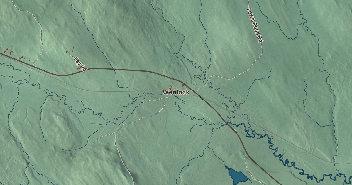
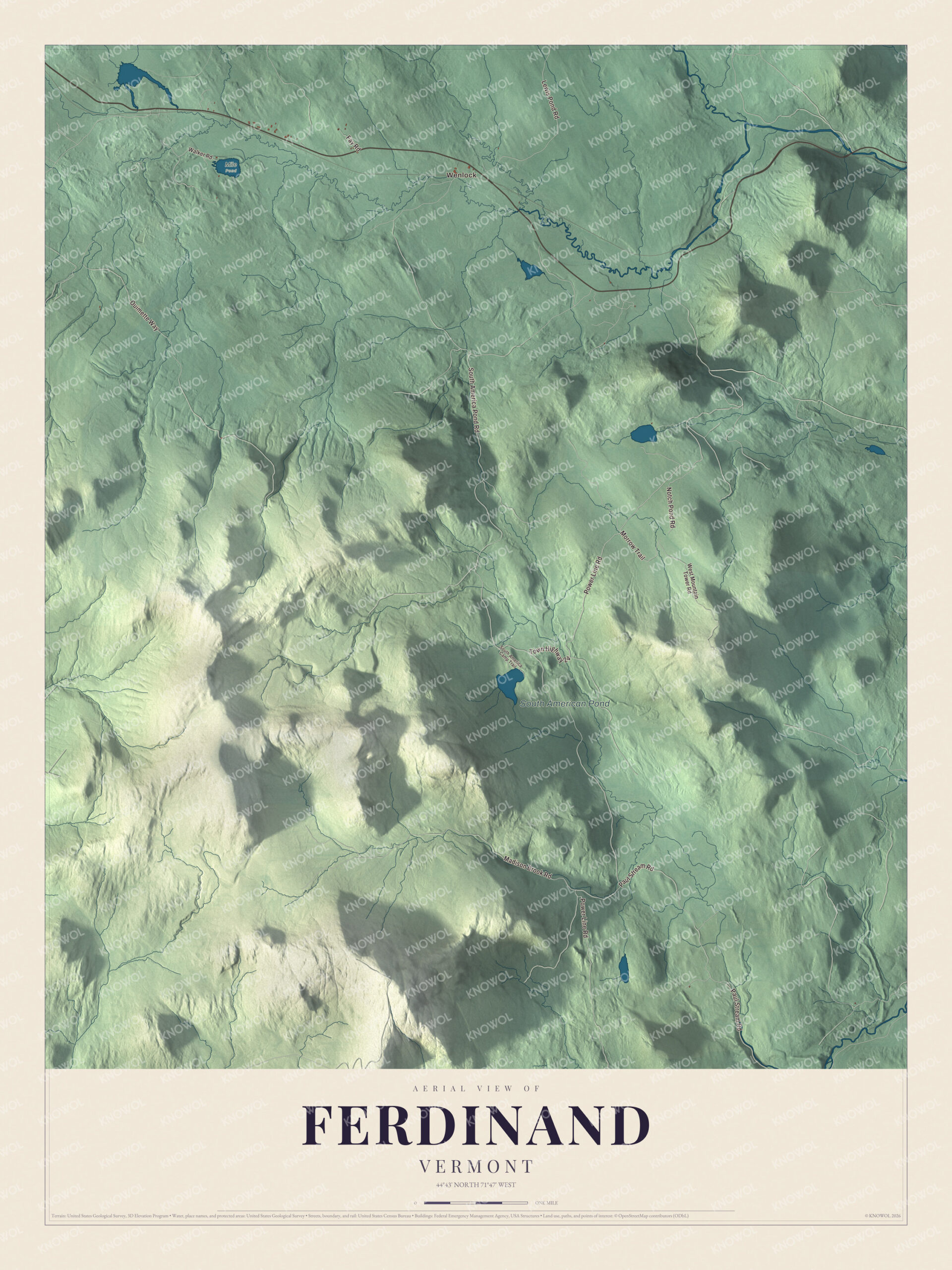
Ferdinand is big country with very few people: 52.8 square miles of Essex County, crossed by the Nulhegan River and a handful of roads. This map prints Wenlock and South American Pond, and roads like Notch Pond Road, Power Line Road, Madison Brook Road, South America Pond Road, the Morrow Trail and Fay Road.
Ferdinand is a town in Essex County, Vermont.
KNOWOL made this map in 2026 from public survey data and gave it the look of an old county atlas, with the ridges shaded from United States Geological Survey elevation data and the roads and town line taken from the Census Bureau. Ferdinand sits in central Essex County, bordered by Brighton, Lewis, Brunswick, Maidstone, Granby and East Haven, with a short stretch of line along Newark in Caledonia County. Click here to purchase a print of this map for your wall.
A town that was never organized
Ferdinand takes its name from the German Prince Karl Wilhelm Ferdinand of Brunswick-Lunenburg. It was laid out as a town, but the town page says it never formally organized because it never gained a large enough permanent population. Its population peaked in 1910 at 213, and the 2020 census counted 16. The Unified Towns and Gores of Essex County manages its affairs.
The Nulhegan River runs west to east across the northern part of town. It rises at Nulhegan Pond in Brighton, flows through Ferdinand, and goes on through Brunswick and Bloomfield to the Connecticut River. Near the town’s eastern line the North Branch of the Nulhegan joins the main river, just east of the place called Wenlock. The river is part of the Northern Forest Canoe Trail, which runs from the Adirondacks to Fort Kent, Maine. Vermont Route 105 follows the Nulhegan from its source to its mouth, passing through the hamlet of East Brighton in Ferdinand on its way from Island Pond to Bloomfield.
Click to explore a larger preview. The digital watermark does not appear on printed maps.
Names on this map
These names are printed on this map.
Places: Wenlock, South American Pond and Mile Pond.
Streets and roads: Notch Pond Road, Power Line Road, Madison Brook Road, South America Pond Road, Morrow Trail, Fay Road, Paul Stream Road, Ouimette Way, Lewis Pond Road, Town Highway 24, West Mountain Tower Road, Walker Road.
More street names, A to Z
South America Camp Trail.
See it on a wall
The Ferdinand map as a framed print. Swipe for more.


Some of this country is protected land. The Nulhegan Basin Division of the Silvio O. Conte National Fish and Wildlife Refuge covers more than 26,000 acres in Brunswick, Ferdinand, Bloomfield and Lewis, and the refuge works to protect native plants, fish and wildlife across the Connecticut River watershed. The highest point in Ferdinand is the summit of Seneca Mountain, at 3,170 feet.
On the map, find Wenlock, then follow Notch Pond Road, Power Line Road, Madison Brook Road and Fay Road through the woods. The Morrow Trail and South America Pond Road are printed too, and South American Pond is labeled on the map. Ferdinand dates to 1761.
This map of Ferdinand is made for everyone who calls Ferdinand home or has paddled the Nulhegan, and it shows the town as it looks today. Hang it in an office, library or den, or use it to teach children the geography and history of the area. It’s printed on museum quality archival paper. Zoom in on the preview above to explore the details, then click here to get your copy of the Ferdinand, Vermont map.

Sources