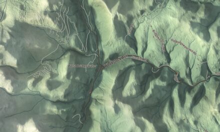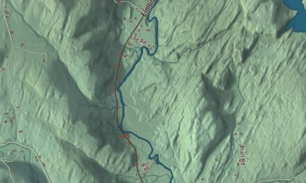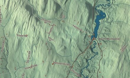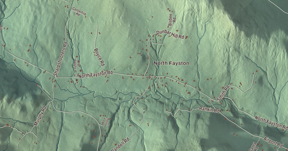
Fayston climbs from the Mad River valley up to the ridge of the Green Mountains, where skiers ride a lift that seats one person at a time. This map prints North Fayston and roads like McCullough Highway, Mill Brook Road, Bragg Hill Road, Sharpshooters Road, Center Fayston Road and Ctr Fayston Road.
Fayston is a town in Washington County, Vermont.
KNOWOL made this map in 2026 from public survey data, with the look of an old county atlas. The mountains are shaded from United States Geological Survey elevation data, and the roads and the town line come from Census Bureau files. Fayston lies in the Mad River valley south of Camel’s Hump State Park, and Vermont Route 17 runs through it. Click here to purchase a print of this map for your wall.
Hill farms and a late start
The Vermont Legislature’s records say Vermont granted Fayston on February 25, 1782, and chartered it two days later; the town page dates the charter later and says the land was sold to a speculator. The town organized on August 6, 1805, and it was part of Chittenden County until Washington County was organized in 1811. Fayston had a small one-room schoolhouse and family farms and maple producers, and the town page credits them with its economic growth and stability.
One of those farms is on Bragg Hill Road. Knoll Farm, known for years as McLaughlin Farm, has been worked since 1804, when Rufus Barrett first farmed it; its southern exposure melted the snow early and gave it a longer growing season. Three generations of the McLaughlin family owned it from 1874 to 1935, and most of its buildings date from their time. In 1957 Ann Day and her family bought it. In the 1980s she made the farm a place of refuge for people fleeing the civil war in Nicaragua on their way to asylum in Canada, and in 1982 she signed one of the earliest conservation agreements with the Vermont Land Trust to protect the land for good. The farm was listed on the National Register of Historic Places in 1996.
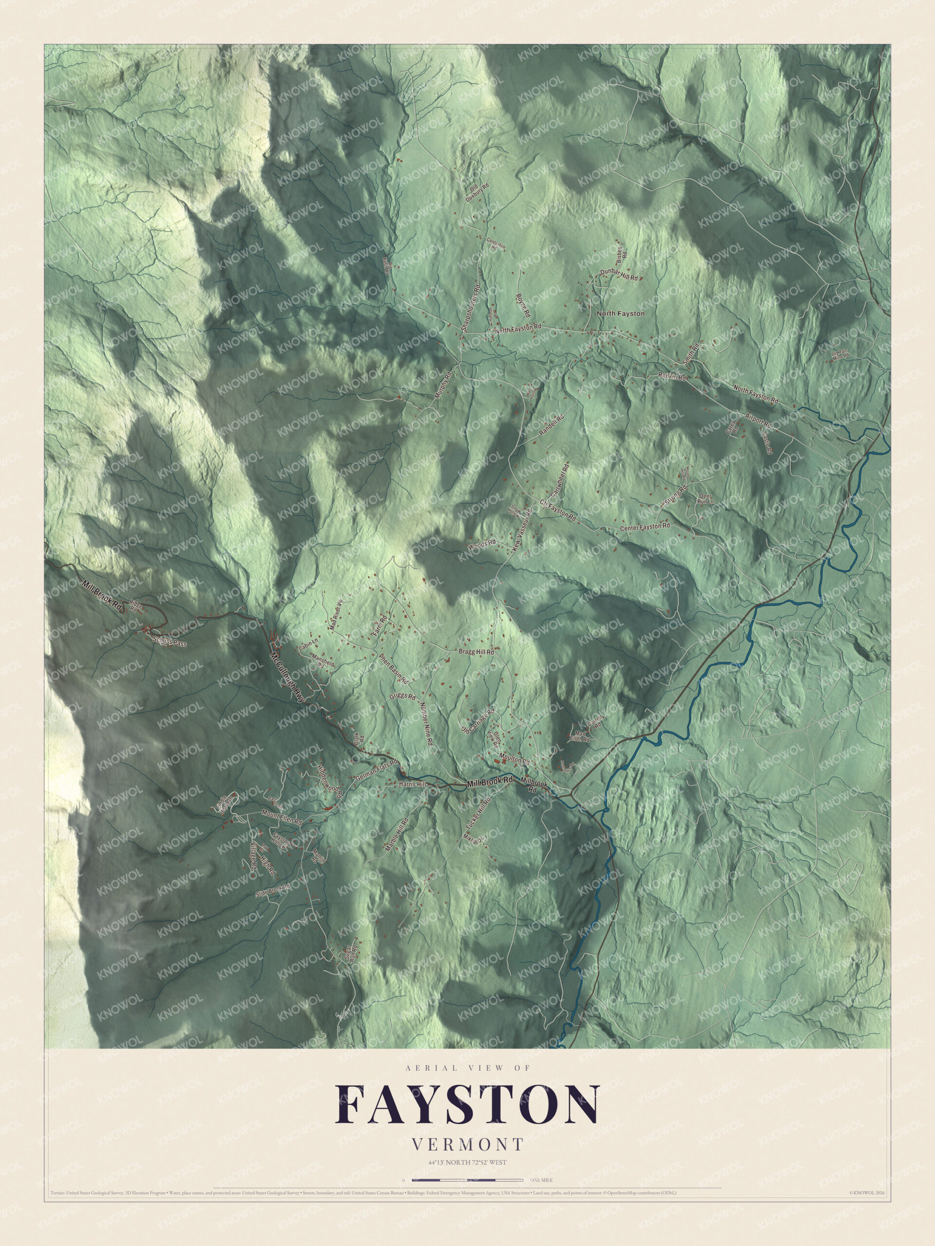
Click to explore a larger preview. The digital watermark does not appear on printed maps.
Names on this map
These names are printed on this map.
Places: North Fayston.
Streets and roads: McCullough Highway, Mill Brook Road, Ctr Fayston Road, Bragg Hill Road, Sharpshooters Road, Center Fayston Road, North Fayston Road, German Flats Road, Tucker Hill Road, Kew-Vasseur Road, Randell Road, Airport Road.
More street names, A to Z
Barton Road, Big Basin Road, Bisbee Road, Boyce Road, Cabin Lane, Carey Road, Carroll Road, Cartwheel Road, Castle Road, Centerfire Road, Clark Road, Deer Run Lane, Dunbar Hill Road, Farm Road, Fayston Hollow, Fiddle Head Road, Glen View Road, Griggs Road, Harris Hill, Hiddenwood Road, High Road, Hoffman Road, Low Road, Mad Ellen Road, Mad River Vw, Manlin Road, Mansfield Road, Marble Hill Road, Mikhal Drive, Millbrook Road, Moulton Road, Mount Ellen Road, Murphy Road, Number Nine Road, Old Carriage Road, Old Duxbury Road, Old Talc Mine Road, Phen Basin Road, Post Office Road, Rankin Road, Ridge Road, Schuss Pass, Slide Brook Road, Smith Road, Snow Hollow, Stony Hill Road, Strong Road, Sugar Run Road, Village Road, Ward Hollow, Woods Road.
See it on a wall
The Fayston map as a framed print. Swipe for more.


Mad River Glen
Roland Palmedo founded Mad River Glen on Stark Mountain in 1947, wanting a ski area for dedicated skiers with as little commercial fuss as possible. The Single Chair first ran in 1948, and it’s still there, one of only two single chairlifts left in the country. The trails are kept much as they were first cut, narrow and lightly groomed, and Ski magazine ranked the terrain the most challenging on the East Coast. In 1995 skiers bought the mountain and formed the Mad River Glen Cooperative, and the people who hold its shares vote on how it’s run. It’s one of three ski areas in the United States that don’t allow snowboarding. The ski area was listed on the National Register as a historic district in 2012.
Stark Mountain is named for General John Stark, the hero of the Battle of Bennington in 1777. The Long Trail crosses its summit, and on the north peak sits Stark’s Nest, a warming hut for skiers in winter and an overnight lodge for hikers in summer. Burnt Rock Mountain is in Fayston too.
On the map, start at North Fayston and follow McCullough Highway, Mill Brook Road and Center Fayston Road, then find Bragg Hill Road and Sharpshooters Road. Ctr Fayston Road is printed as well. Fayston dates to 1782.
This map of Fayston is made for everyone who calls Fayston home, and it shows the town as it looks today, from the valley roads to the ridge. Hang it in an office, library or den, or use it to teach children the geography and history of their town. It’s printed on museum quality archival paper. Zoom in on the preview above to explore the details, then click here to get your copy of the Fayston, Vermont map.

Sources