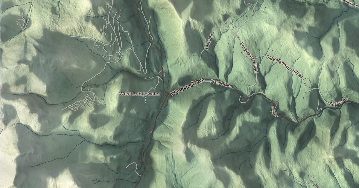
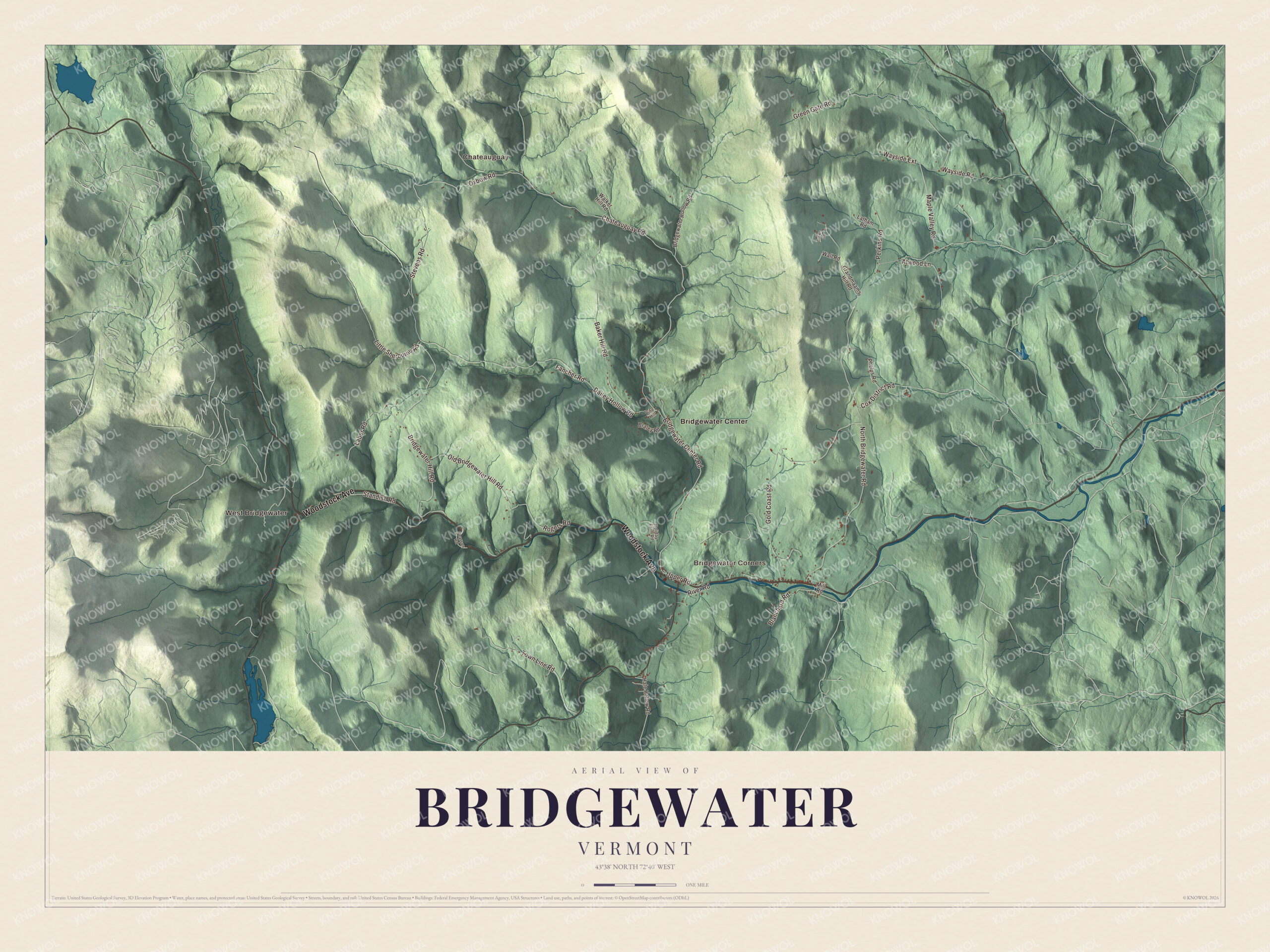
Route 4 follows the Ottauquechee River the length of Bridgewater, past the old woolen mill and the brewery at Bridgewater Corners. This map prints West Bridgewater, Bridgewater Corners, Bridgewater Center and Chateauguay, with Woodstock Avenue, Chateauguay Road, Bridgewater Center Road, Oxbow Road, Cox District Road and Little Sherburne Road.
Bridgewater is in Windsor County, between Woodstock and Killington.
KNOWOL made this map in 2026 from public survey data and gave it the look of an old atlas. The shaded terrain comes from United States Geological Survey elevation data, with the Ottauquechee valley running west to east through the hills and the Appalachian Trail along the town’s northern edge. The roads and the town line come from the Census Bureau. Bridgewater covers 49.5 square miles, and it had 903 people at the 2020 census. Click here to purchase a print of this map for your wall.
A mill town on the Ottauquechee
Bridgewater was chartered in 1761, settled in 1779 and organized as a town in 1785. John Hayward’s 1849 Gazetteer of Vermont tells how Deacon Asa Jones surveyed a lot here in September 1779 and that winter moved his family the three miles from Woodstock on hand-sleds, the first family in town; Amos Mendall followed in May 1780, married the deacon’s daughter, and their daughter Lucy was the first child born here. In 1786 the Southgates dammed the Ottauquechee in the village and built a sawmill and a gristmill, and in 1828 Benjamin Southgate, Richard Southgate’s grandson, built a textile mill on the site. After a fire in 1852 it was rebuilt, and it ran as a woolen mill, under various names, into the 1970s. It employed 150 people in a town of about 800, and in 1909 its owners added a hydroelectric plant at the dam that powered the village’s homes and businesses as well. It shut down in the Depression and reopened in 1940. The Society of Architectural Historians calls it Vermont’s oldest surviving 19th century wood-frame woolen mill and the best example of the kind of mill that anchored dozens of Vermont villages. Local citizens bought the complex and turned it into the shops of the Bridgewater Mill Mall, and it’s listed on the National Register of Historic Places.
In 1989 Andy Pherson started a brewery in the mill’s basement, first called Mountain Brewers. In 1995 it moved to Bridgewater Corners and soon took the name Long Trail Brewing Company, after the hiking trail through the Green Mountains, and its page calls its flagship Long Trail Ale the best-selling craft beer in Vermont.
Click to explore a larger preview. The digital watermark does not appear on printed maps.
Names on this map
These names are printed on this map.
Places: West Bridgewater, Chateauguay, Bridgewater Corners and Bridgewater Center.
Streets and roads: Woodstock Avenue, Chateauguay Road, Bridgewater Center Road, Oxbow Road, Cox District Road, Little Sherburne Road, North Bridgewater Road, Dailey Hollow Road, Bridgewater Hill Road, Gold Coast Road, Baker Hill Road, Stevens Road.
More street names, A to Z
Atwood Lane, Blanchard Road, Braley Road, Bridgewater Hollow Road, Brown Road, Fancher Road, Grandmaams Hill Road, Green Gate Road, Hale Hollow Road, Holiday Farm Road, Laber Road, Latham Road, Maple Valley Road, Mill Road, Old Bridgewater Hill Road, Pearson Road, Perkins Road, Phelps Road, Pine Hill, River Road, Rogers Road, Standish Road, Town Line Road, Upper Road, Walker Hill Road, Wall Road, Wayside Extension, Wayside Road.
See it on a wall
The Bridgewater map as a framed print. Swipe for more.


Along the river and up the side roads
The Ottauquechee rises in Killington and runs east through Bridgewater toward Woodstock, Quechee and the Connecticut, and its North Branch flows southeast through Killington and Bridgewater to join it. U.S. Route 4 follows the river, linking Woodstock and White River Junction to the east with Rutland to the west. The town takes in Bridgewater Village, Bridgewater Corners, West Bridgewater and Bridgewater Center, which used to be called Briggs. The mill stands on Route 4 near the center of the village, where Bridgewater runs into western Woodstock. The Appalachian Trail crosses the town along its northern border. Chateauguay, Chateauguay Road, Bridgewater Center Road, Oxbow Road, Cox District Road, Little Sherburne Road and Woodstock Avenue are printed on the map as well.
This map of Bridgewater suits an office, library or den, and it can even help teach children the geography and history of a mill town in the Green Mountains. It’s made for everyone who calls Bridgewater home and shows the town as it looks today, from West Bridgewater to Bridgewater Corners. KNOWOL created it in 2026, and it’s printed on museum quality archival paper. Zoom in on the preview above to explore the details, then click here to get your copy of the Bridgewater, Vermont map.

Sources
- Bridgewater, Vermont, Wikipedia
- Bridgewater, Vermont, Wikipedia page text (infobox: chartered, settled, organized)
- Bridgewater, in John Hayward’s Gazetteer of Vermont (1849), USGenNet Data Repository
- Bridgewater Woolen Mill, Wikipedia
- Bridgewater Woolen Mill, SAH Archipedia (Society of Architectural Historians)
- Long Trail Brewing Company, Wikipedia
- Ottauquechee River, Wikipedia