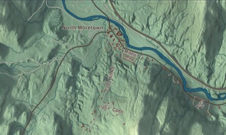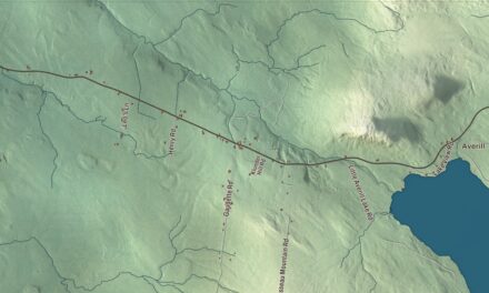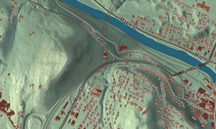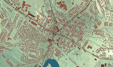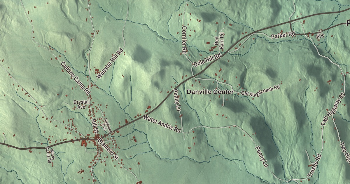
Danville is named for a mapmaker, which makes it a fitting town to hang on a wall. This map prints the village and the places around it, Danville Center, West Danville, North Danville, Harvey Hollow, Morses Mills and Keiser Pond, along with the Theodore Roosevelt Highway, the Bruce Badger Memorial Highway, Hill Street, Parker Road, Stanton Road and Water Andric Road.
Danville is a town in Caledonia County, Vermont.
KNOWOL made this map in 2026 from public survey data and gave it the feel of an old county atlas. Its relief is shaded from United States Geological Survey elevation data, and its roads and town line come from the Census Bureau. Danville covers 61.1 square miles, and it had 2,335 people at the 2020 census, 385 of them in the main village. Click here to purchase a print of this map for your wall.
Named for d’Anville
Danville dates to 1786. The Vermont Legislature granted it on October 31 of that year, making it one of the last towns created in what’s now Caledonia County, and the town organized in 1787. A second charter followed in 1802. Danville was part of Orange County until Caledonia County was organized.
The town took its name from Jean-Baptiste Bourguignon d’Anville, an 18th-century French geographer and cartographer who greatly improved the standards of mapmaking. He drew more than 200 maps, built from careful original research, and where he didn’t know what was there he left the space blank and noted doubtful information as such, unlike the decorated maps of the mapmakers before him. He became cartographer to the king of France.
Thaddeus Stevens
Thaddeus Stevens was born in Danville on April 4, 1792. He grew up poor, and in 1807 his mother moved the family to neighboring Peacham so her sons could go to school there. Stevens went on to practice law in Pennsylvania, where he became a strong advocate of free public education, and in the 1860s, as a congressman from Pennsylvania, he was one of the leaders of the Radical Republicans.
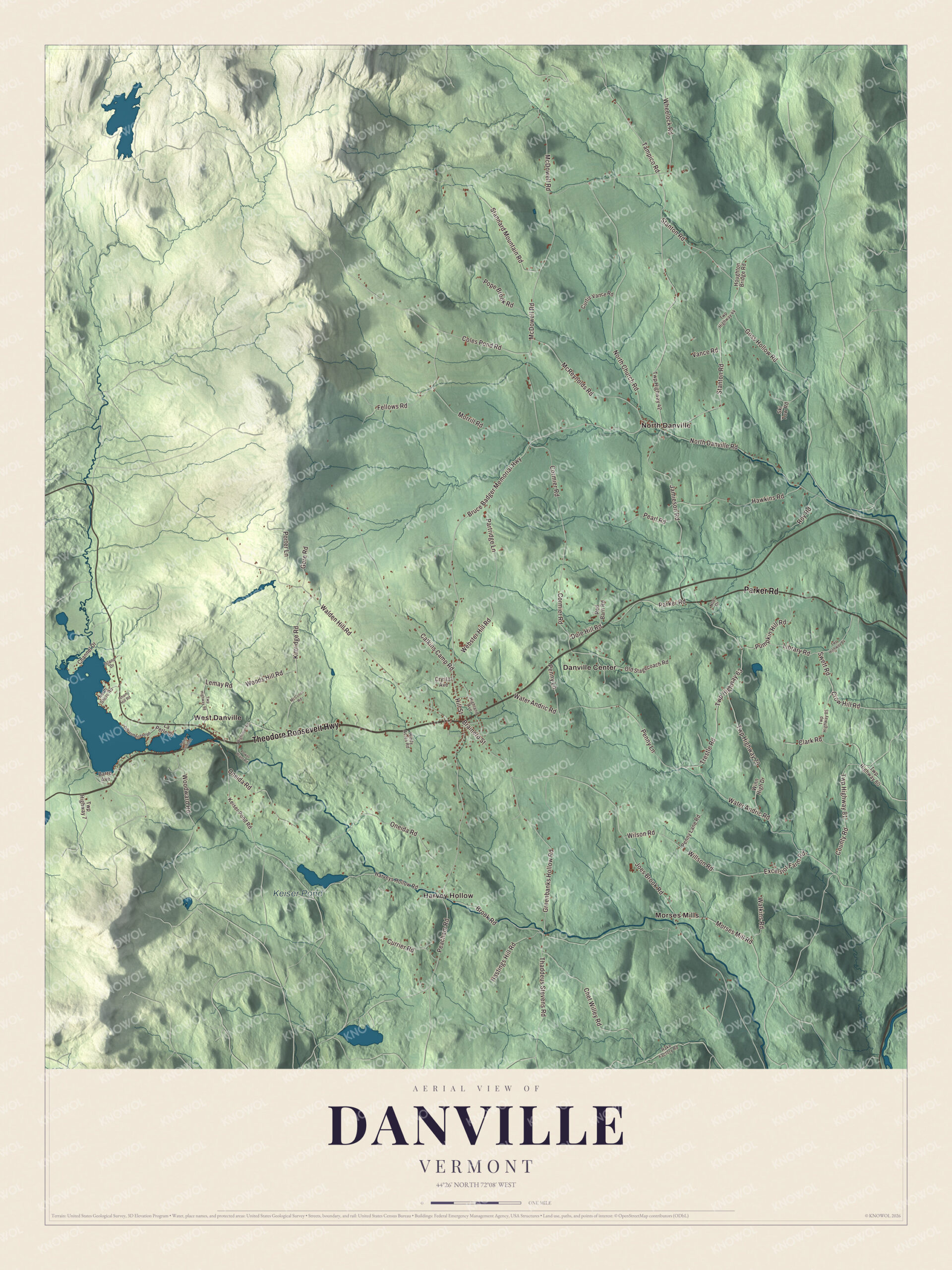
Click to explore a larger preview. The digital watermark does not appear on printed maps.
Names on this map
These names are printed on this map.
Places: Keiser Pond, Danville Center, Harvey Hollow, Morses Mills, North Danville and West Danville.
Streets and roads: Theodore Roosevelt Highway, Parker Road, Bruce Badger Memorial Highway, Stanton Road, Hill Street, Water Andric Road, Tampico Road, Trestle Road, Peacham Road, McDowell Road, Coles Pond Road, Brook Road.
More street names, A to Z
Barre Avenue, Brainerd Street, Calkins Camp Road, Channel Drive, Chet Willey Road, Clark Road, Cormier Road, County Road, Crow Hill Road, Crystal Avenue, Currier Road, Curtis Vance Road, Dole Hill Road, Excelsior Farm Road, Fellows Road, Gore Road, Goss Hollow Road, Greenbanks Hollow Road, Harveys Hollow Road, Hastings Hill Road, Hawkins Road, Highland Avenue, Houghton Bridge Road, Isham Hill Road, Island Drive, Jamieson Road, Joes Brook Road, Keiser Pond Road, Kittridge Road, La Perle Drive, Lemay Road, Library Road, McCosco Road, McReynolds Road, Morrill Road, Morses Mill Road, Noel Drive, North Church Road, North Danville Road, North Shore Road, Old Homestead Road, Old Stagecoach Road, Oneida Road, Partridge Lane, Pearl Road, Penny Lane, Penny Lane Road, Point Comfort, Pope Brook Road, Porter Lane, Power Plant Road, Pumpkin Hill Road, Rake Factory Road, Red Barn Road, Roy Road, Ski Tow Road, Stannard Mountain Road, Swett Road, Thaddeus Stevens Road, Twp Highway 7, Twp Highway 42, Twp Highway 44, Twp Highway 63, Twp Highway 79, Twp Highway 80, Twp Highway 81, Twp Highway 84, Twp Highway 85, Twp Highway 98, Vance Road, Walden Hill Road, Watkins Road, Webster Hill Road, Wheelock Road, Wightman Road, Willson Road, Wilson Road, Windy Acres Road, Winn High Drive, Woods Hill Road, Woodward Road.
See it on a wall
The Danville map as a framed print. Swipe for more.


Ponds, hills and the covered bridge
Joe’s Pond, the only large body of water in town, covers 396 acres, partly in Danville and partly in Cabot. It’s an impoundment of the brook in West Danville and the largest of six ponds and lakes in the brook’s watershed, which drains to the Passumpsic River. U.S. Route 2 passes the pond on its way from St. Johnsbury to Montpelier, 26 miles to the west, and Vermont Route 15 leaves it at West Danville, heading northwest toward Hardwick. The highest point in town, 2,365 feet, is on the ridge of the Kittredge Hills along the western border.
In the south of town the Greenbanks Hollow Covered Bridge carries Greenbanks Hollow Road over Joe’s Brook. It was built in 1886 with a queen post truss, it’s the only 19th-century covered bridge left in Danville, and it was substantially rebuilt in 2002. In West Danville, the Charles D. Brainerd Public Library reopened in July 2017, which again made Danville home to the smallest library in Vermont. The American Society of Dowsers holds its annual convention in Danville.
To find your way on the map, start in the village and follow the Theodore Roosevelt Highway and Hill Street, then look for the Bruce Badger Memorial Highway, Parker Road, Stanton Road and Water Andric Road. West Danville, North Danville, Danville Center, Harvey Hollow, Morses Mills and Keiser Pond are all printed on the map.
Hang this map of Danville in an office, library or den, or use it to teach children the geography and history of a town named for a great mapmaker. It’s made for everyone who calls Danville home and shows the town as it looks today, from West Danville to Harvey Hollow. KNOWOL created it in 2026, and it’s printed on museum quality archival paper. Zoom in on the preview above to explore the details, then click here to get your copy of the Danville, Vermont map.

Sources