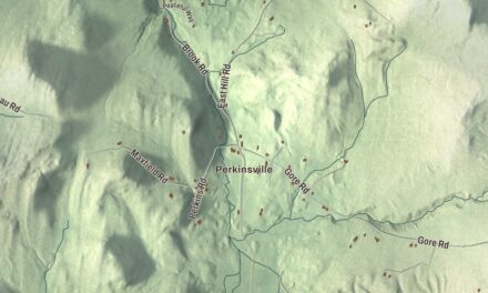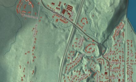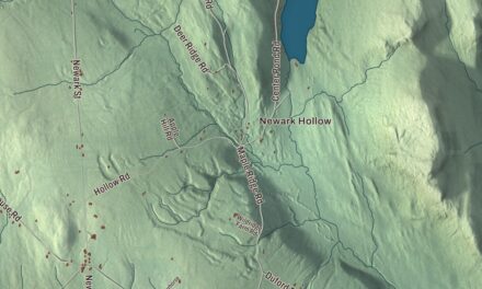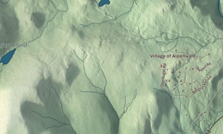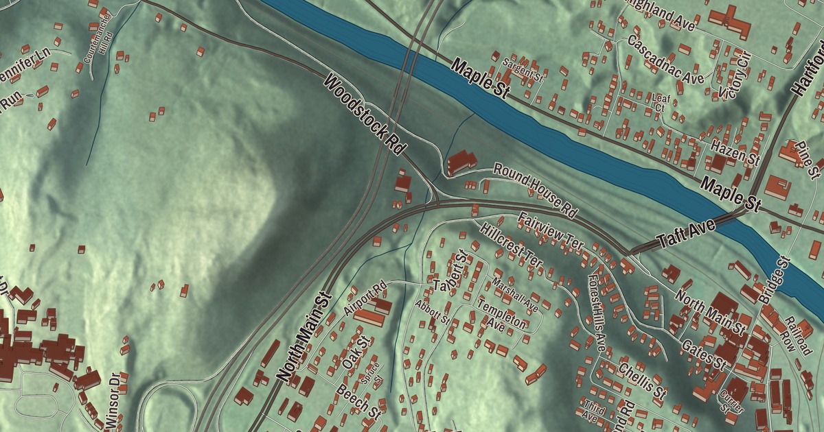
This aerial map of White River Junction, Vermont was created in 2026 using real geographic data to bring the census-designated place’s streets, buildings, and terrain together in one highly detailed view. Look closer and you can pick out the familiar places that make White River Junction feel like home. Start with the street you know, then see how it connects to the rest of the White River Junction you call home. Click here to purchase a print of this map for your wall.
Explore an aerial view of White River Junction, Vermont
Start with Hartford Avenue. Follow Maple Street, North Main Street, Taft Avenue, Woodstock Road, and North Hartland Road across the community.
Hartford Avenue, Maple Street, North Main Street, Taft Avenue, Woodstock Road, and North Hartland Road are all labeled on the map. Every one of those names is printed directly on the artwork, giving you plenty to explore.
White River Junction is a census-designated place within Hartford. The community has its own statistical boundary. In 2020, White River Junction had 2532 residents. Click the image below to see the area as it looked in 2026.
Take a closer look at the White River Junction map
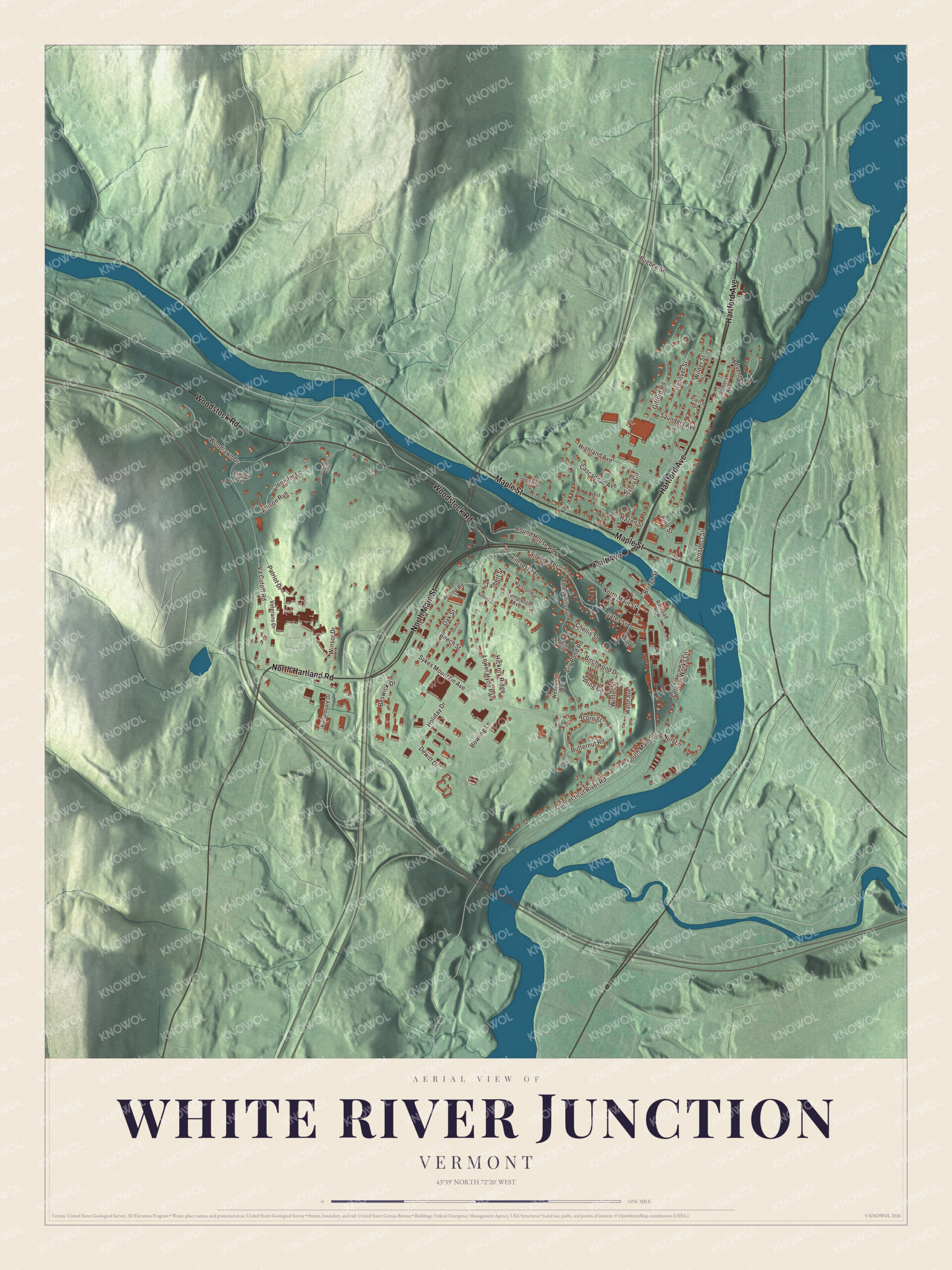
Click to explore a larger preview. The digital watermark does not appear on printed maps.
Names on this map
These names are printed on this map.
Places: Lower Hyde Park.
Streets and roads: Hartford Avenue, Maple Street, North Main Street, Taft Avenue, Woodstock Road, North Hartland Road, Sykes Mountain Avenue, South Main Street, Spring Circle, Talbert Street, Va Cutoff Road, Fairview Terrace.
More street names, A to Z
Abbott Street, Acorn Street, Advent Lane, Airport Road, Allison Run, Ballardvale Drive, Beech Street, Beswick Drive, Birchwood Drive, Bowling Lane, Bridge Street, Bugbee Street, Butternut Road, Cascadnac Avenue, Chellis Street, Connecticut River Road, Courtemanche Hill Road, Currier Street, Demers Avenue, Dewitt Drive, Dogwood Lane, Forest Hills Avenue, Gates Street, Gifford Road, Hanover Street, Hazen Street, Hickory Ridge, Highland Avenue, Hillcrest Terrace, Holiday Drive, Jennifer Lane, Latham Works Lane, Leaf Court, Lily Pond Road, Marshall Avenue, Nutt Lane, Oak Street, Patriot Drive, Pierce Street, Pine Street, Prospect Street, Railroad Row, Round House Road, Sargent Street, Saunders Avenue, Seniors Way, Spruce Street, Templeton Avenue, Third Avenue, Veterans Drive, Victory Circle, Walsh Avenue, Wentworth Way, Wilder Street, Winsor Drive, Winter Street, Woodlawn Drive.
See it on a wall
The White River Junction map as a framed print. Swipe for more.


We designed the artwork at KNOWOL using White River Junction’s real streets, buildings, and terrain, the census-designated place boundary, and the way buildings spread across the census-designated place. Then we chose the color, relief, lettering, and layout that make the map look great on the wall.
This beautifully detailed map of White River Junction makes an attractive addition to your office, library, or den and can even be used to teach children the geography and history of the area. When you’re done exploring, click here to get your copy of the White River Junction, Vermont map.