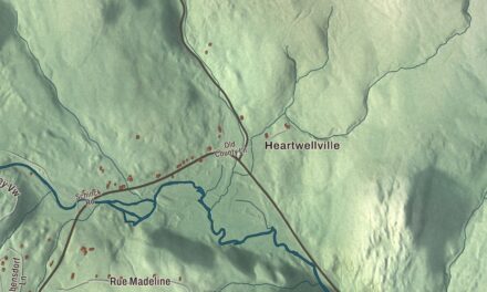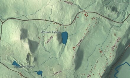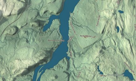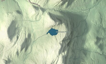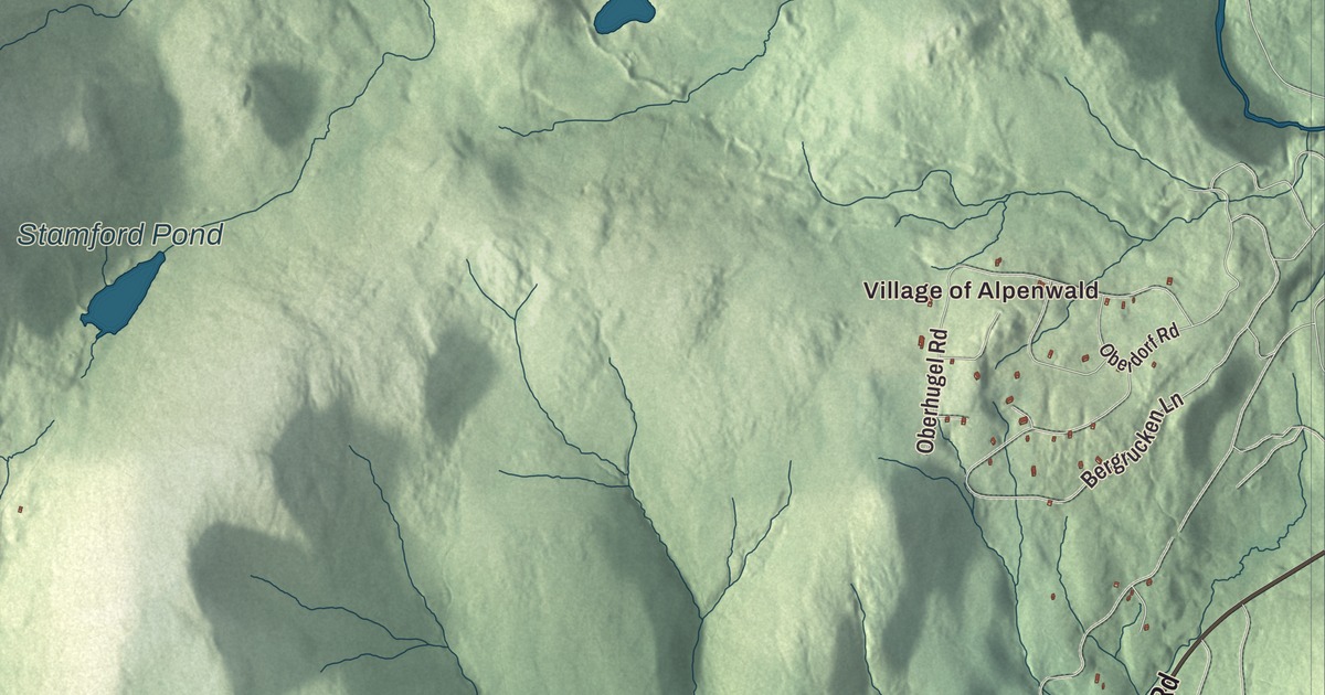
Stamford sits on the Massachusetts line near Vermont’s southwestern corner, where Main Road carries Routes 8 and 100 north beside the North Branch of the Hoosic River. This map prints the Village of Alpenwald with Main Road, County Road, Risky Ranch Road, Klondike Road, East Road and Mill Road, and Lake Hancock, Stamford Pond and Mud Pond.
Stamford is a town in Bennington County, Vermont.
KNOWOL made this map in 2026 from public survey data and gave it the look of an old county atlas, shading the hills from United States Geological Survey elevation data and drawing the roads and town line from the Census Bureau. The town covers 39.5 square miles, and 861 people lived here at the 2020 census. Click here to purchase a print of this map for your wall.
New Stamford on the state line
New Hampshire granted it on March 6, 1753, as New Stamford, and renewed the charter on June 9, 1764. The town organized on March 14, 1780, or perhaps earlier, and dropped the “New” in 1783. Jonathan Munger was its first representative in the legislature, in 1781. Clarksburg and Florida, Massachusetts, lie to the south, Pownal to the west, Readsboro to the east and Woodford to the north, and the village of Stamford is in the southern part of town, in the valley of the North Branch of the Hoosic River.
Routes 8 and 100 begin together at the Massachusetts line, where Route 8 continues south toward North Adams, and they’re the only state highways in town. They run north as Main Road through the town center and into Readsboro. Route 100 goes on to become Vermont’s longest numbered highway, running more than 216 miles to Newport, on the Canadian border.
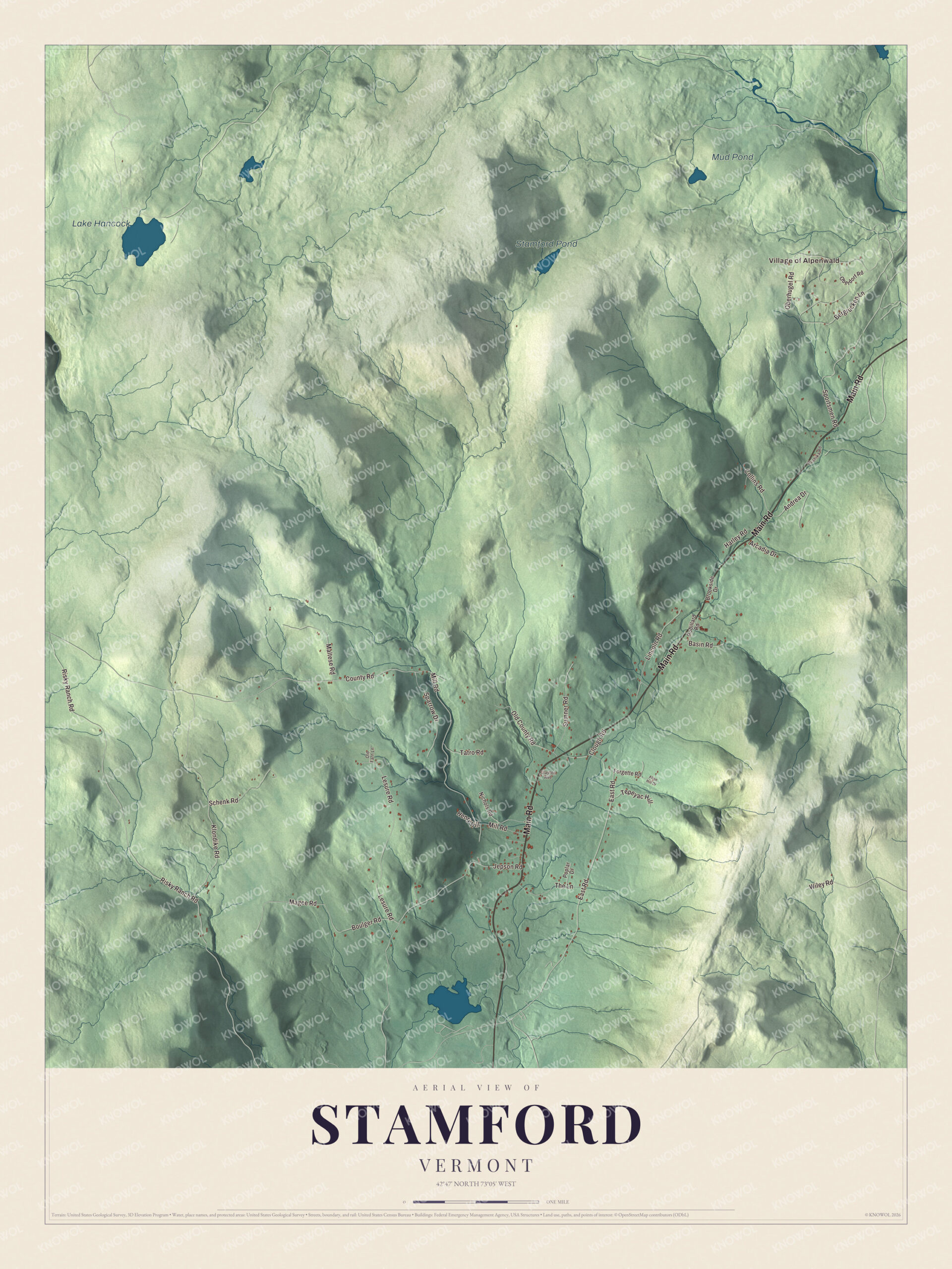
Click to explore a larger preview. The digital watermark does not appear on printed maps.
Names on this map
These names are printed on this map.
Places: Village of Alpenwald, Lake Hancock, Stamford Pond and Mud Pond.
Streets and roads: Main Road, County Road, Risky Ranch Road, Klondike Road, East Road, Mill Road, Lesure Road, Jepson Road, Bergrucken Lane, Oberhugel Road, Sportsmen Road, Magee Road.
More street names, A to Z
Allen Hill Drive, Andrea Drive, Arcadia Drive, Basin Road, Boulger Road, Brookside Drive, Bushika Road, Clayton Avenue, Clough Road, Collins Road, Forgette Road, Harley Road, Henry Hill, Lincoln Road, Maltese Road, Nichols Road, Oberdorf Road, Old County Road, Old Farn Lane, Poplar Drive, Robillard Road, Schenk Road, Sparrow Drive, Sumner Road, Tatro Road, Tepeyac Hill, The Lane, Wiley Road.
See it on a wall
The Stamford map as a framed print. Swipe for more.


Near the southern end of the village, on the west side of Main Road, stands the Tudor House, built in 1900 for John Tudor, a Welsh immigrant who’d made a fortune as a mill owner in northern Vermont and settled in Stamford in 1890. At a time when the town’s population was falling and most of its buildings were plain and vernacular, he built a Queen Anne house full of gables, turrets, bays and porches, with Colonial Revival woodwork inside. It’s one of the most architecturally sophisticated buildings in town, and it joined the National Register of Historic Places in 1979. Leroy Lawrence farmed in Stamford, served as town meeting moderator and selectman and became Speaker of the Vermont House from 1961 to 1963, and he later turned part of his farm into the Stamford Valley Golf Club. Stephen C. Millard, born in Stamford in 1841, became a lawyer in Binghamton and served New York in Congress from 1883 to 1887.
On the map, start with the Village of Alpenwald, then follow Main Road, County Road, Risky Ranch Road, Klondike Road, East Road and Mill Road across town. Lake Hancock, Stamford Pond and Mud Pond are printed too. Stamford dates to 1753.
This map of Stamford is made for everyone who calls Stamford home, and it shows the town as it looks today, from Main Road and the Village of Alpenwald to Lake Hancock and Stamford Pond. Hang it in an office, library or den, or use it to teach children the geography and history of their town. It’s printed on museum quality archival paper. Zoom in on the preview above to explore the details, then click here to get your copy of the Stamford, Vermont map.

Sources