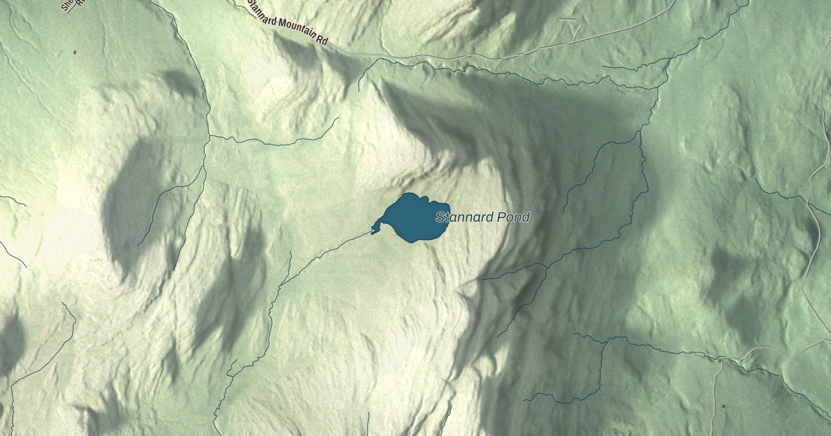
Stannard is a small hill town with no paved roads, and its center is little more than the crossroads where Stannard Mountain Road meets Lazy Mill Road. This map prints Stannard Mountain Road, Lazy Mill Road, Gonyaw Road, Tousant Hill Road, Flagg Pond Road and Hutchins Farm Road, along with Stannard Pond.
Stannard is a town in Caledonia County, Vermont.
KNOWOL made this map in 2026 from public survey data and gave it the look of an old county atlas, shading the hills from United States Geological Survey elevation data and drawing the roads and town line from the Census Bureau. The town covers 12.5 square miles, and 208 people lived here at the 2020 census. Click here to purchase a print of this map for your wall.
From Goshen Gore to Stannard
Vermont granted this land on November 1, 1798, as Goshen Gore, to be counted as part of the town of Goshen. It separated from Goshen in 1854, organized on September 3, 1867, and took the name Stannard on November 20 that year. Lewis W. Fisher was its first representative in the legislature. The name honors General George J. Stannard, born in Georgia, Vermont, whose 2nd Vermont Brigade was one of the principal defenders against Pickett’s Charge at Gettysburg on July 3, 1863. As the Confederate assault neared Cemetery Ridge, he swung the 13th and 16th Vermont out at a right angle and poured fire into the flank of Kemper’s brigade, one of the critical factors that defeated the attack. The Vermont legislature commended him in 1865 for his “skill and bravery.”
Stannard is small in both area and population. It had 88 residents at the 1970 census, and its high point is the summit of Stannard Mountain, at more than 2,618 feet. Most of the land slopes west and drains to the Lamoille River, a tributary of Lake Champlain, while the eastern end drains to the Connecticut River. Bernie Sanders, later a United States senator, moved to Stannard in 1968 after he’d been “captivated by rural life,” and he lived here into the early 1970s. Andrew M. Blair was born in Stannard in 1818 and raised on his father’s farm. He settled at Port Washington, Wisconsin, in 1849 and served in the Wisconsin State Senate. Charles Clark Jamieson, raised and educated here, graduated from West Point in 1892 and became a brigadier general during World War I.
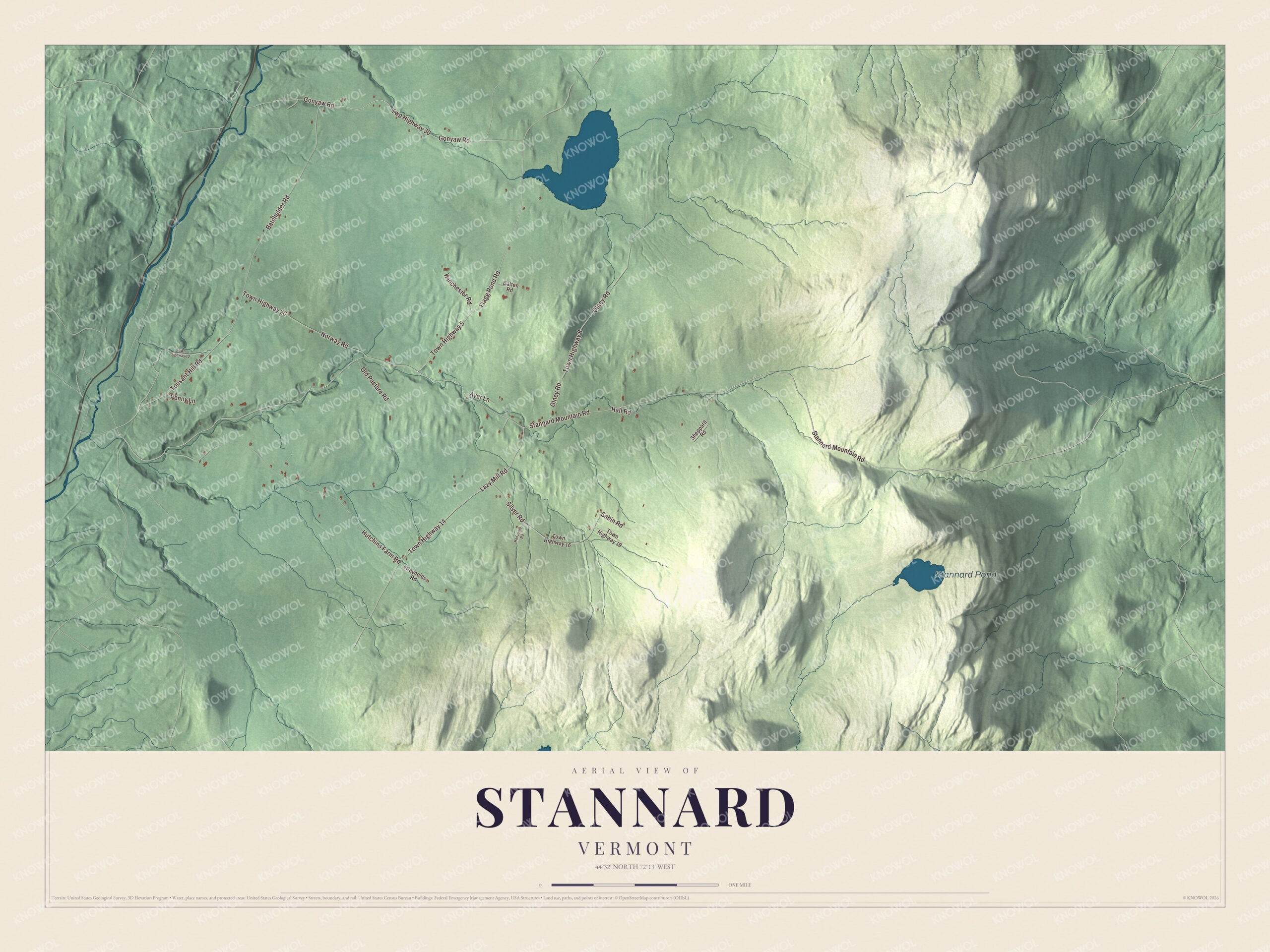
Click to explore a larger preview. The digital watermark does not appear on printed maps.
Names on this map
These names are printed on this map.
Places: Stannard Pond.
Streets and roads: Stannard Mountain Road, Gonyaw Road, Twp Highway 30, Tousant Hill Road, Flagg Pond Road, Lazy Mill Road, Town Highway 5, Town Highway 14, Hutchins Farm Road, Batchelder Road, Olney Road, Town Highway 8.
More street names, A to Z
Ayer Lane, Batten Road, Hall Road, Norway Road, Old Pasture Road, Penny Lane, Ransome Road, Reynolds Road, Sabin Road, Sheppard Road, Silver Road, Town Highway 12, Town Highway 16, Town Highway 19, Town Highway 20, Winchester Road.
See it on a wall
The Stannard map as a framed print. Swipe for more.


Two buildings at the crossroads
Just east of the junction of Stannard Mountain Road and Lazy Mill Road, the town’s two public buildings stand on opposite sides of Stannard Mountain Road. On the south side is the Methodist Episcopal Church, also called the Stannard-Greensboro Bend Methodist Church, a wood-frame church of 1888 with a square bell tower, Gothic-arched windows and an interior that’s barely changed since it was built. It stands on land a resident gave on the condition that it hold a religious service at least once a year, and that yearly service is now part of an old home day celebration. On the north side is the town hall, the former Stannard Schoolhouse, a Greek Revival building that was likely built before 1850. It served as a school until 1964 and has held the town offices ever since. The schoolhouse joined the National Register of Historic Places in 1977 and the church in 1978.
On the map, start with Stannard Mountain Road, then follow Gonyaw Road, Tousant Hill Road, Flagg Pond Road, Lazy Mill Road and Hutchins Farm Road across town. Stannard Pond is printed too. Stannard dates to 1867.
This map of Stannard is made for everyone who calls Stannard home, and it shows the town as it looks today, from Stannard Mountain Road and Lazy Mill Road to Stannard Pond. Hang it in an office, library or den, or use it to teach children the geography and history of their town. It’s printed on museum quality archival paper. Zoom in on the preview above to explore the details, then click here to get your copy of the Stannard, Vermont map.

Sources
- Stannard, Vermont, Wikipedia
- Town histories and representatives, S towns, Vermont Legislature
- George J. Stannard, Wikipedia
- Bernie Sanders, Wikipedia
- Andrew M. Blair, Wikipedia
- Charles Clark Jamieson, Wikipedia
- Methodist Episcopal Church (Stannard, Vermont), Wikipedia
- Stannard Schoolhouse, Wikipedia