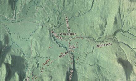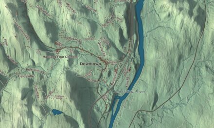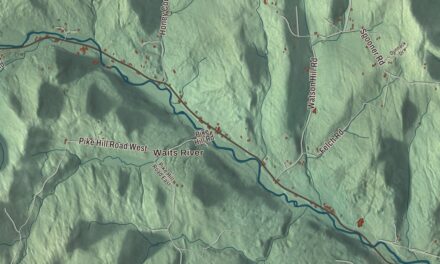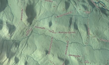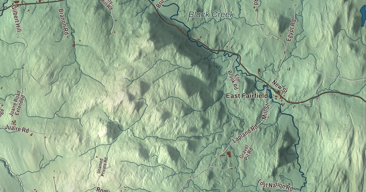
If you grew up in Fairfield, you know the farm roads: Lapland Road, Ridge Road, Barry Road, Romar Road, North Road and Reynolds Road, all printed on this map, with East Fairfield and Saint Rocks among them. It’s dairy and maple country, and it’s also where a president was born.
Fairfield is a town in Franklin County, Vermont.
KNOWOL made this map in 2026 from public survey data, finished with the look of an old county atlas. Hill shading comes from United States Geological Survey elevation data, and the roads and the town line come from the Census Bureau. Fairfield sits in central Franklin County, east of St. Albans, and Vermont Route 36 crosses it from east to west. Click here to purchase a print of this map for your wall.
Chester A. Arthur’s first home
New Hampshire granted Fairfield on August 18, 1763, and the town organized on March 30, 1790. In 1828 the family of William Arthur, a preacher, moved to Fairfield, and the next year Chester Alan Arthur was born there, the fifth of nine children. He was named Chester for Chester Abell, the doctor and family friend who helped at his birth. The family stayed until 1832, when his father’s work took them to churches in other towns, and the boy from Fairfield grew up to be the 21st president of the United States.
The President Chester A. Arthur State Historic Site keeps his memory in town. In 1903 a granite monument was set on the spot where he was thought to have been born, and in 1953 a replica of the house was built, using an old photograph as a guide. Visitors can also see the nearby Fairfield Baptist Church, where his father preached. The State of Vermont owns the site and opens it seasonally.
Fairfield also raised Consuelo Northrop Bailey, born in town in 1899. Her father ran a dairy farm, a creamery and a maple sugar works. She became a lawyer, the first woman admitted to practice before the Vermont Supreme Court, and the first woman Speaker of the Vermont House. Her biography counts her election in 1954 as the first time a woman was elected lieutenant governor of any state.
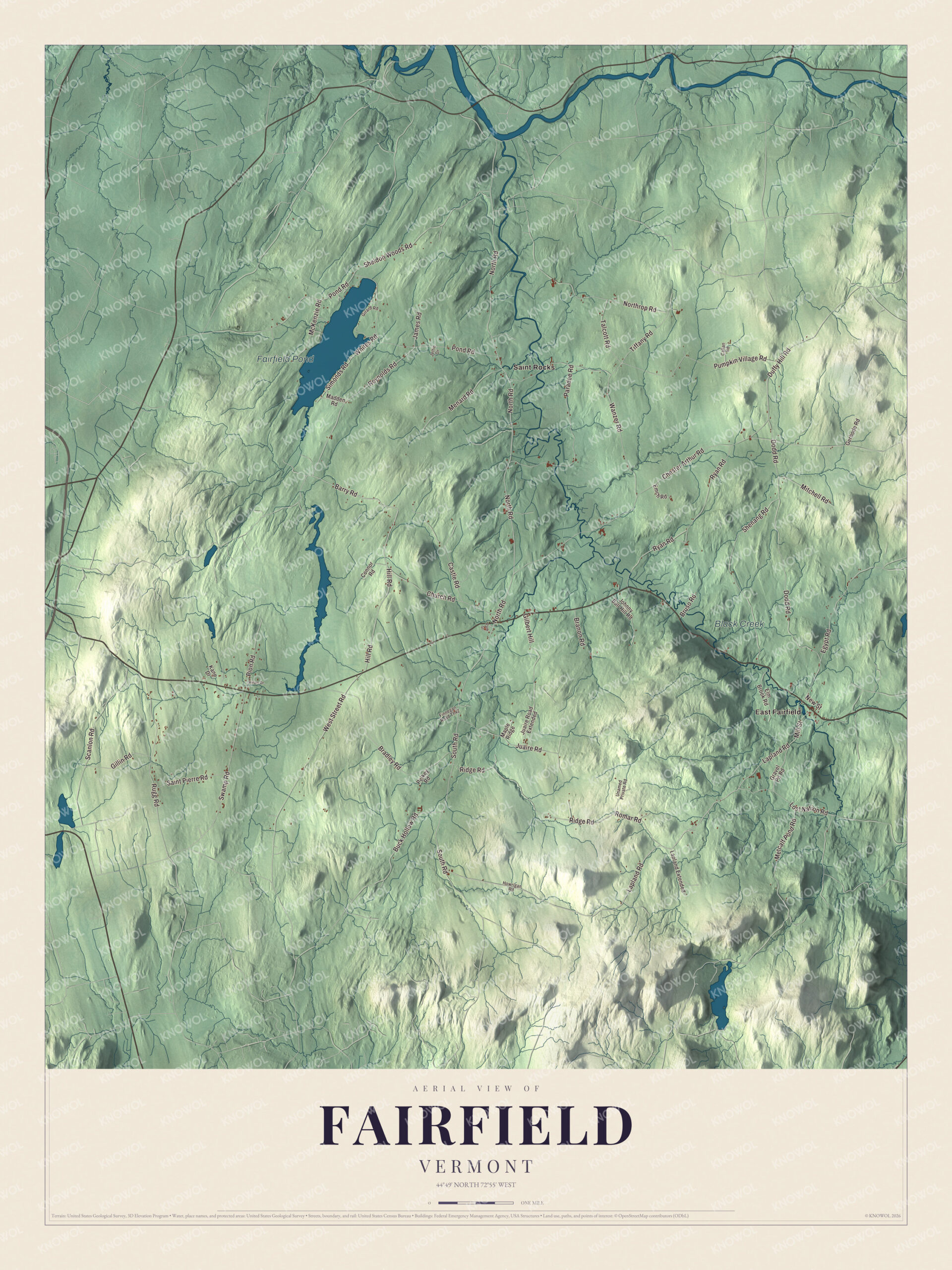
Click to explore a larger preview. The digital watermark does not appear on printed maps.
Names on this map
These names are printed on this map.
Places: Fairfield Pond, Black Creek, East Fairfield and Saint Rocks.
Streets and roads: Lapland Road, Ridge Road, Barry Road, Romar Road, North Road, Reynolds Road, Pond Road, South Road, Chester Arthur Road, Pumpkin Village Road, Dodd Road, Shenang Road.
More street names, A to Z
Bradley Road, Branon Road, Bruso Road, Buck Hollow Road, Callan Road, Castle Road, Church Road, Connor Road, Duffy Hill Road, Egypt Road, Elm Brook Road, Emch Road, Finnegan Road Th42, Gerbode Road, Gilbert Hill, Gillin Road, Girard Road, Gravel Pit Road, Hill Road, Hiram Drive, Howrigan Road, James Road, Jettie Drive, Johnny Bull Hill Road, Juaire Road, Juaire Road Extended, Kane Drive, Lapland Extended, Lost Nation Road, Madden Road, Maple Ridge, McKenzie Road, Menard Road, Metcalf Pond Road, Mill Street, Mitchell Road, New Street, Northrop Road, Paradee Road, Park Street, Pelkey Road, Pion Road, Rugg Road, Ryan Road, Saint Pierre Road, Scanlon Road, Sheldon Woods Road, Simonds Road, Swamp Road, Talcott Road, Tiffany Road, Unamed Private Road, Wanzer Road, West Street Road, Whites Road.
See it on a wall
The Fairfield map as a framed print. Swipe for more.


Black Creek and the hill farms
Black Creek drains the town on its way north to the Missisquoi River. In East Fairfield, a village along Route 36, the East Fairfield Covered Bridge carries Bridge Street over the creek. It was built about 1865 by a builder no one has identified, and it’s the town’s only surviving 19th-century covered bridge. After years of trouble it was closed, rebuilt by Blow & Cote, and reopened to traffic on July 5, 2009. Around it, Fairfield’s rolling hills grow hay, corn and pasture for dairy farms, and many of the maples in its woods are tapped for syrup.
On the map, find East Fairfield and Saint Rocks first, then trace Lapland Road, Ridge Road, Barry Road, Romar Road, North Road and Reynolds Road from farm to farm. Fairfield Pond, in the town’s northwest corner, and Black Creek are both labeled. Fairfield dates to 1763.
This map of Fairfield is made for everyone who calls Fairfield home, and it shows the town as it looks today, from Fairfield Pond to East Fairfield. Hang it in an office, library or den, or use it to teach children the geography and history of their town. It’s printed on museum quality archival paper. Zoom in on the preview above to explore the details, then click here to get your copy of the Fairfield, Vermont map.

Sources