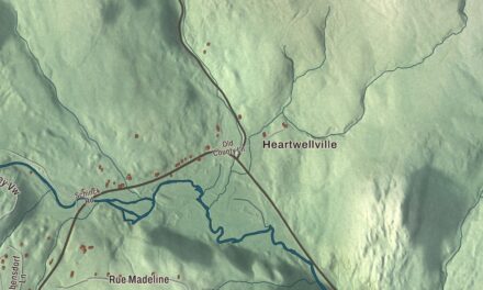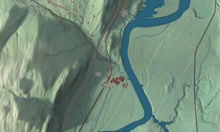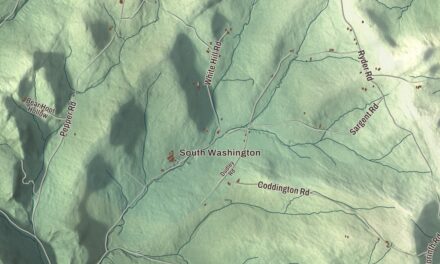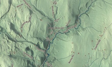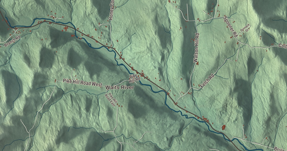
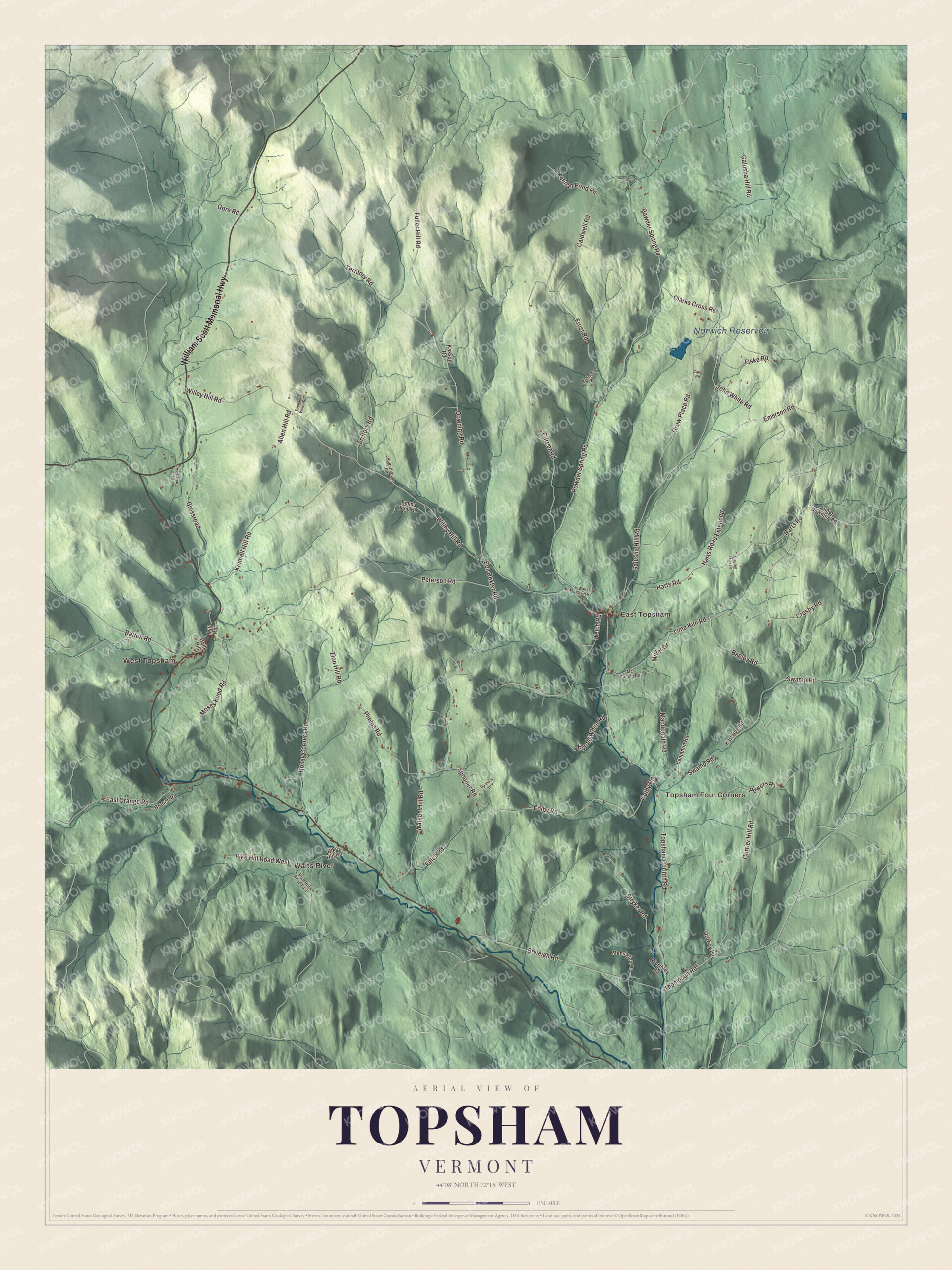
Topsham is a town of four villages, East Topsham, West Topsham, Topsham Four Corners and Waits River. This map prints all four, with the William Scott Memorial Highway, Topsham Corinth Road, Lime Kiln Road, Downing Road, Emerson Road and Thompson Road, and Norwich Reservoir.
Topsham is a town in Orange County, Vermont.
KNOWOL made this map in 2026 from public survey data and gave it the look of an old county atlas, shading the hills from United States Geological Survey elevation data and drawing the roads and town line from the Census Bureau. The town covers 49 square miles, and 1,199 people lived here at the 2020 census. Click here to purchase a print of this map for your wall.
On a bed of limestone
New Hampshire granted Topsham on August 17, 1763, and the town organized on March 15, 1790. William Thompson is the first representative the Legislature lists for the town, in 1801 and 1802. The Waits River flows through the western part of town, and the whole town sits on the Waits River Formation, a limestone laid down in the late Silurian and early Devonian periods. That formation runs about 1,000 kilometers, from Long Island Sound to the Gulf of St. Lawrence, and it’s built of thin beds of marble and limestone between layers of schist and phyllite, with garnet throughout.
A short way south of East Topsham, on the east side of Topsham Corinth Road, stands the Elwin Chase House, a Greek Revival house of about 1830 with an ell and barn behind it. Its stairwell is covered on almost every surface with murals attributed to Rufus Porter, the traveling muralist, and they include what looks like part of his signature. One of the scenes shows the frigate USS Potomac, which made news in the early 1830s for sailing around the world, and that dates the murals to those years. When the house joined the National Register of Historic Places in 1977, they were the only known example of Porter’s work in Vermont.
Click to explore a larger preview. The digital watermark does not appear on printed maps.
Names on this map
These names are printed on this map.
Places: Waits River, West Topsham, Topsham Four Corners, East Topsham and Norwich Reservoir.
Streets and roads: William Scott Memorial Highway, Lime Kiln Road, Downing Road, Emerson Road, Thompson Road, Topsham Corinth Road, Ben Dexter Road, Territory Road, John White Road, Fuller Hill Road, Spooner Road, Powder Spring Road.
More street names, A to Z
Allen Hill Road, Bagley Road, Batten Road, Benjamin Road, Branch Road, Bruleigh Road, Caldwell Road, Camp Road, Clarks Cross Road, Clayton Mickels, Colby Road, Crosby Road, Crossroad, Currier Hill Road, Currier Road, Dana Thurston Road, Dunnack Drive, East Orange Road, Emma Jane Road, Felch Road, Fiske Road, Frost Road, Galusha Hill Road, Gore Road, Grow Place Road, Halls Hill, Harold White Road, Harts Road, Harts Road Extended, Honey Corners Road, James Downing Road, Karl Nye Road, Kasson Road, Keenan Pond Road, Kimball Hill Road, Macdonald Road, Mansigian Drive, Mc Donald Road, Miller Drive, Mill Road, Moses Hood Road, Ordway Road, Peterson Road, Phelps Road, Pike Hill Road, Pike Hill Road East, Pike Hill Road West, Powers Road, Sanborn Road, Solomon Willey Road, Stryker Road, Sugarhouse Road, Swamp Road, Walter Sweet Road, Watson Hill Road, Welch Road, Willey Hill Road, Worthley Road, Zion Hill Road.
See it on a wall
The Topsham map as a framed print. Swipe for more.


Topsham’s people
George Augustus Gates was born in Topsham in 1851, graduated from Dartmouth in 1873 and became a Congregational minister. He went on to lead three colleges, as president of Grinnell from 1887 to 1900, of Pomona from 1902 to 1909 and of Fisk University in Nashville from 1909 to 1912. Charles Ross Taggart grew up in Topsham and toured North America from 1895 to 1938 as “The Man From Vermont” and “The Old Country Fiddler,” playing the violin and piano, singing and telling outlandish stories set in rural New England. He made more than 40 recordings, and in 1923 he starred in an early sound film by Lee DeForest. In 1989 the printmaker Jon Cone moved his studio to East Topsham, where he developed his Piezography inks and software for photographic ink jet printing and, in 1993, opened Cone Editions Digital Workshops to teach it.
On the map, start with Waits River and West Topsham, then follow the William Scott Memorial Highway, Lime Kiln Road, Downing Road, Emerson Road, Thompson Road and Topsham Corinth Road across town. Then look outward toward Topsham Four Corners and East Topsham. Norwich Reservoir is printed too. Topsham dates to 1763.
This map of Topsham is made for everyone who calls Topsham home, and it shows the town as it looks today, from Waits River and West Topsham to East Topsham and Topsham Corinth Road. Hang it in an office, library or den, or use it to teach children the geography and history of their town. It’s printed on museum quality archival paper. Zoom in on the preview above to explore the details, then click here to get your copy of the Topsham, Vermont map.

Sources