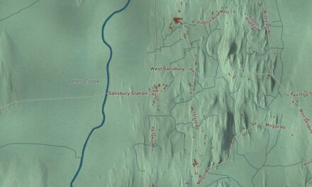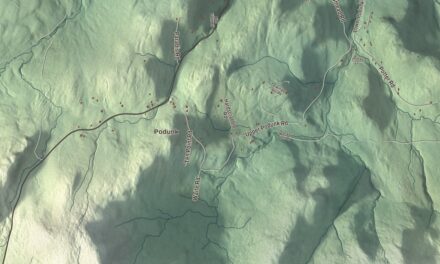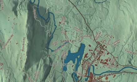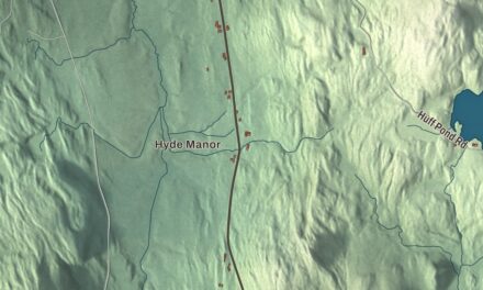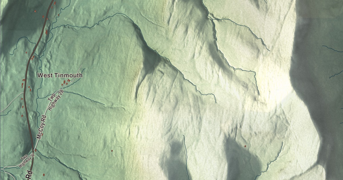
Tinmouth is a small Rutland County town whose village center sits at a crossroads near the middle of town, with Mountain View Road running south from it. This map prints West Tinmouth, Chipman Lake, and West Tinmouth Road, Mountain View Road, Gulf Road, Morgan Road, Wrights Road and Ezra Stone Road.
Tinmouth is a town in Rutland County, Vermont.
KNOWOL made this map in 2026 from public survey data and gave it the look of an old county atlas, shading the hills from United States Geological Survey elevation data and drawing the roads and town line from the Census Bureau. The town covers 28.4 square miles, and 553 people lived here at the 2020 census. Click here to purchase a print of this map for your wall.
A shire town in the New Hampshire Grants
New Hampshire granted Tinmouth on September 15, 1761, in the region that came to be known as the New Hampshire Grants. It was settled around 1770 and organized on March 8, 1774, and for a few years it was the shire town, or county seat, of Rutland County. Its early living came from mills, tanneries and iron smelting that worked local beds of iron ore. The railroads passed the town by, and later in the 1800s dairy farming brought some success. Tinmouth had 935 people at the first federal census, reached its peak in 1820 and then slowly lost people for 150 years, down to 268 in 1970. In 2000 its population topped 500 again for the first time since 1880. Today, by one estimate, 40 percent of the town’s land is protected from development by conservation easements, including those of the Vermont Land Trust and the state’s Tinmouth Channel Wildlife Management Area, and another 26 percent is enrolled in Vermont’s land use tax program, which also limits building.
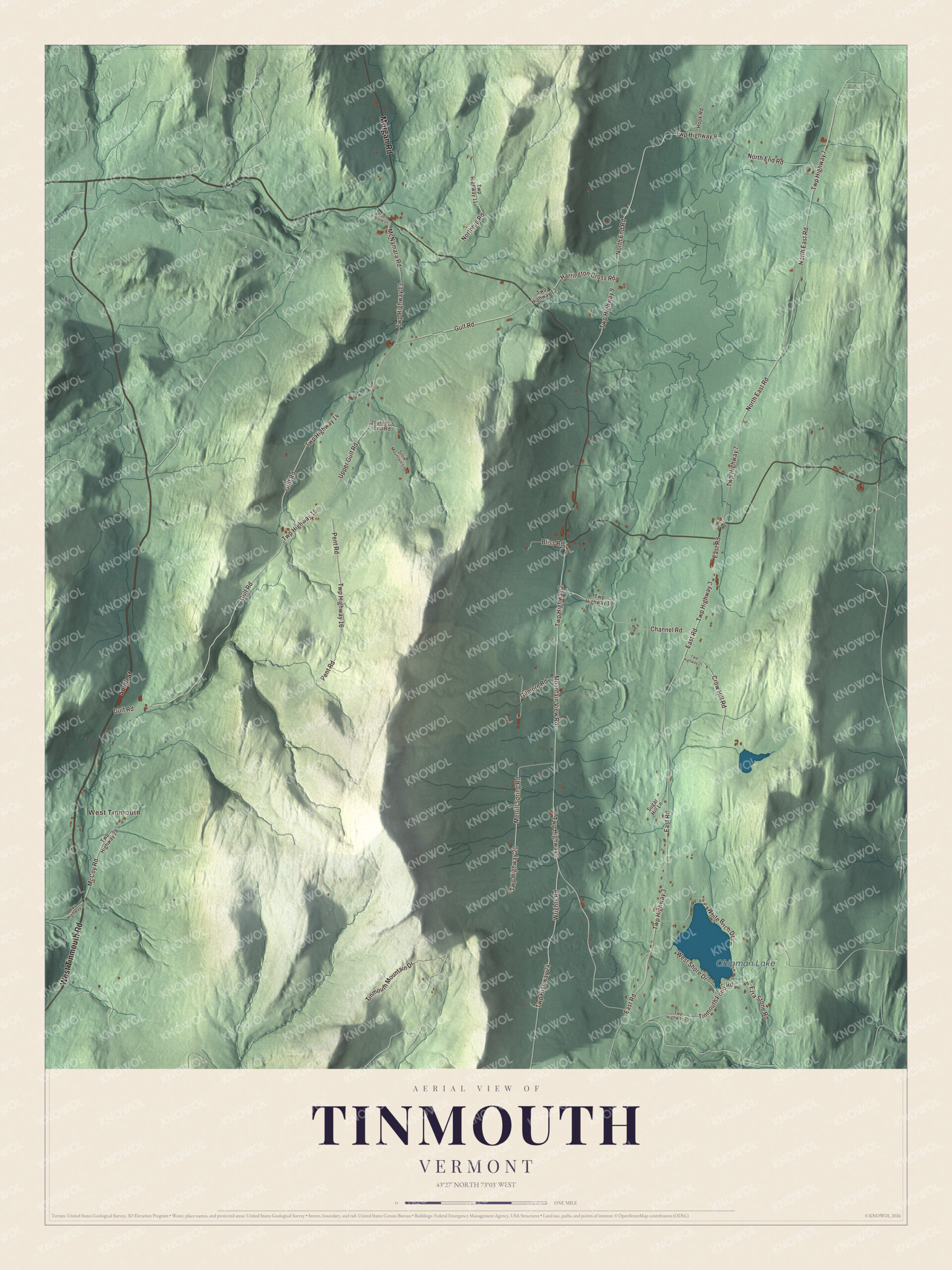
Click to explore a larger preview. The digital watermark does not appear on printed maps.
Names on this map
These names are printed on this map.
Places: West Tinmouth and Chipman Lake.
Streets and roads: West Tinmouth Road, Morgan Road, Twp Highway 20, Wrights Road, Ezra Stone Road, Gulf Road, Twp Highway 14, Mountain View Road, Twp Highway 2, East Road, Twp Highway 3, North East Road.
More street names, A to Z
Bliss Road, Channel Road, Crow Hill Road, Gilmore Road, Harrington Cross Road, Hook Road, Journey's End Road, Maple Brook Lane, McCoy Road, McNamara Road, Merrill Spring Road, North End Road, Northrup Road, Pent Road, Snow Mountain Lane, South Street, Sugar Hill Lane, Tinmouth Mountain Drive, Tinmouth Pond Road, Twp Highway 7, Twp Highway 9, Twp Highway 11, Twp Highway 12, Twp Highway 13, Twp Highway 15, Twp Highway 16, Twp Highway 19, Twp Highway 21, Twp Highway 24, Twp Highway 25, Twp Highway 27, Twp Highway 28, Upper Gulf Road, West Shore Drive, White Birch Drive.
See it on a wall
The Tinmouth map as a framed print. Swipe for more.


Tinmouth Center
The village of Tinmouth Center sits near the town’s geographic center, at the four-way junction where Route 140 runs north and east, a town road runs west, and Mountain View Road runs south. Sixteen buildings cluster around the crossing, most of them historic, and together they’ve been on the National Register of Historic Places since 1980 as a well-preserved 19th-century rural village. Among them are the Federal-style Noah Sawyer House of about 1816, the town shed of about 1840, a row of stalls where churchgoers sheltered their horses, and the Old Creamery of about 1880, a reminder of the dairy years.
Three of Tinmouth’s people rose high in Vermont’s public life. Nathaniel Chipman, a Continental Army veteran, practiced law in Tinmouth, worked for Vermont statehood, became the first judge of the United States District Court for Vermont, a United States senator and chief justice of the Vermont Supreme Court. He died in Tinmouth in 1843 and is buried in Tinmouth Cemetery. John Mattocks moved to Tinmouth with his parents in 1778, as a small child, and became the 16th governor of Vermont. Stephen Royce, born and raised in Tinmouth, served as chief justice of the Vermont Supreme Court and as the 23rd governor of Vermont, from 1854 to 1856.
On the map, start with West Tinmouth, then follow West Tinmouth Road, Morgan Road, Wrights Road, Ezra Stone Road, Gulf Road and Mountain View Road across town. Chipman Lake is printed too. Tinmouth dates to 1761.
This map of Tinmouth is made for everyone who calls Tinmouth home, and it shows the town as it looks today, from West Tinmouth and Gulf Road to Mountain View Road and Chipman Lake. Hang it in an office, library or den, or use it to teach children the geography and history of their town. It’s printed on museum quality archival paper. Zoom in on the preview above to explore the details, then click here to get your copy of the Tinmouth, Vermont map.

Sources