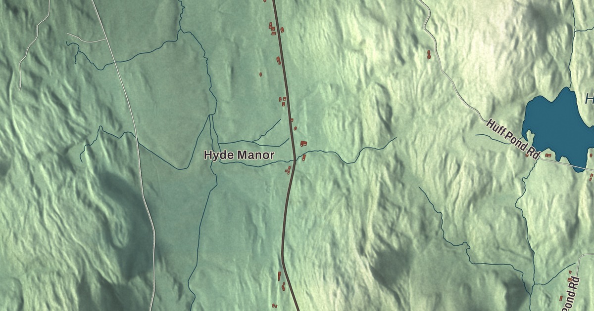
Sudbury is a town of ponds and pasture, with Route 30 running north through it along a hilltop. This map prints Hyde Manor, Burr Pond, Hinkum Pond, Huff Pond and Lake Hortonia, and the Seth Warner Memorial Highway, Lake Hortonia Road, Burr Pond Road, Young Road, Sawyer Needham Road and North Road.
Sudbury is a town in Rutland County, Vermont.
KNOWOL made this map in 2026 from public survey data and gave it the look of an old county atlas, shading the hills from United States Geological Survey elevation data and drawing the roads and town line from the Census Bureau. The town covers 22.2 square miles, and more than three percent of that area is water. 545 people lived here at the 2020 census. Click here to purchase a print of this map for your wall.
On the old stage road
New Hampshire granted Sudbury on August 6, 1763, and the town organized on March 17, 1789, with John Hall as its first representative in the legislature. Route 30 runs almost due north through town along a hilltop of pasture land, with wide views of the Green Mountains and the Adirondacks, and Route 73 comes east from Orwell to meet it just south of the village. In the early 1800s this road was a major stage route between Albany, New York, and Montreal.
The village center is small. Its landmark is the Sudbury Congregational Church, also called the Sudbury Meetinghouse, set back from Route 30 behind the village green. Charles C. Stewart built it in 1807 for a congregation organized in 1803, as a nearly exact copy of Plate 33 in Asher Benjamin’s 1805 pattern book, the Country Builder’s Assistant. Its first steeple was taller, and it was reportedly pulled down for fear it would blow off. In the 1850s the inside was adapted for town meetings and the Gothic pinnacles were added to the tower, and when it joined the National Register of Historic Places in 1977 it still served both the church and the town. A short way south, at the corner of Routes 30 and 73, stands Sudbury School No. 3, the Hill School, a district schoolhouse built of stone. A school stood on the spot by 1821, and a stone in its gable reads 1829, and its exact age is uncertain.
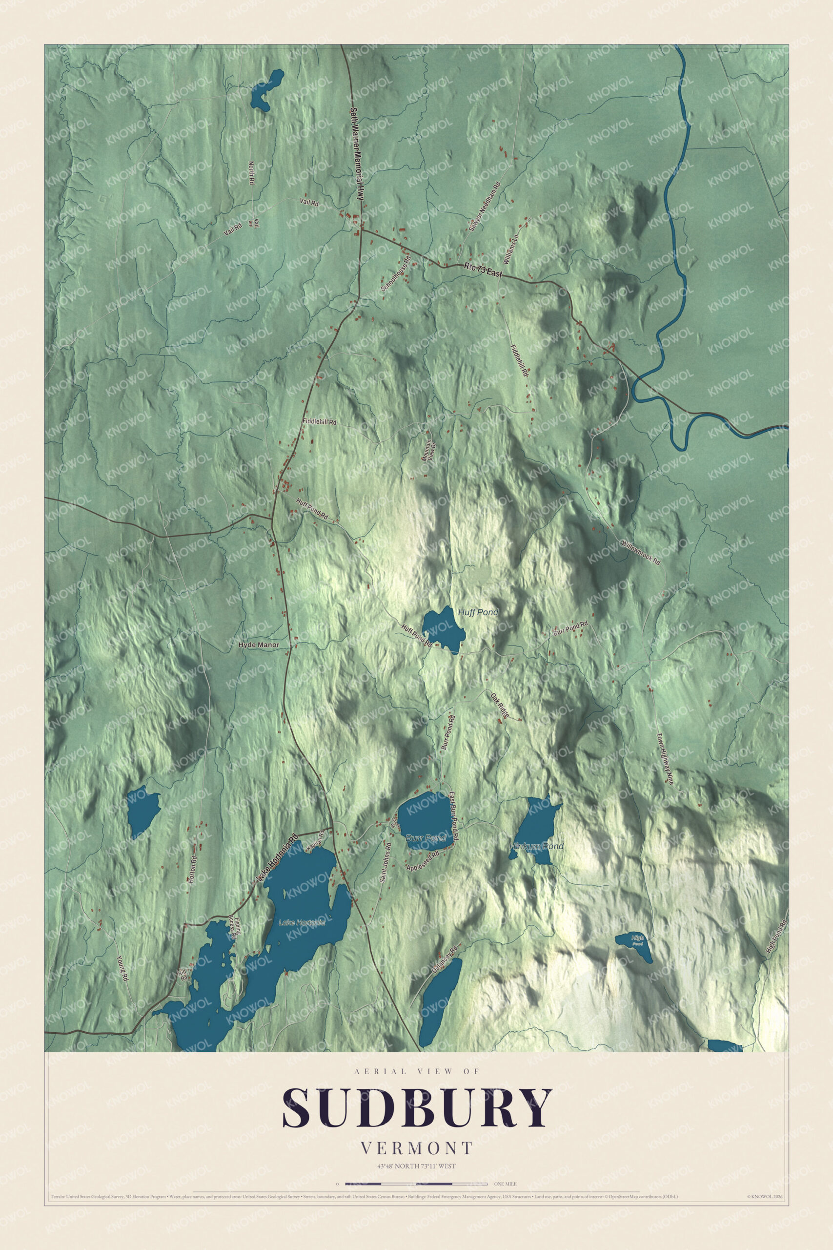
Click to explore a larger preview. The digital watermark does not appear on printed maps.
Names on this map
These names are printed on this map.
Places: Hyde Manor, Burr Pond, Hinkum Pond, Huff Pond, High Pond and Lake Hortonia.
Streets and roads: Route 73 East, Seth Warner Memorial Highway, Lake Hortonia Road, Young Road, Sawyer Needham Road, North Road, Town Highway Nine, Burr Pond Road, Fiddlehill Road, Willowbrook Road, Huff Pond Road, Vail Road.
More street names, A to Z
Appleseed Road, Delancey Road, East Burr Pond Road, Fishing Access Road, High Pond Road, Hill Road, Horton Road, Kapitan Road, Mountain View Drive, Oak Ridge, Saint Johns Road, Schoolhouse Road, Steele Road, Vail Lane, Williams Lane.
See it on a wall
The Sudbury map as a framed print. Swipe for more.


Hyde Manor
About a mile south of the village, on the east side of Route 30, stands what remains of Hyde Manor, once a major summer resort hotel. It began as a tavern and stagecoach stop that Pitt Hyde bought around 1801 and enlarged, with a mineral spring reputed to have restorative powers. After the main house burned in 1861, his son James K. Hyde built a four-story Italianate main house with a five-story square tower, and its remains still stand. Under Aruna Hyde the resort added a bowling alley, a dance hall and, in 1909, a nine-hole golf course laid out by Horace Rawlins and George Sargent. The Hydes sold it in 1962, and the hotel closed for good in 1973. The complex is now abandoned and partly collapsed, and it was listed on the National Register of Historic Places in 1980.
Edwin Atkins Merritt was born in Sudbury in 1828 and raised in Essex County, New York. He served as a Union Army quartermaster in the Civil War, followed Chester A. Arthur as Collector of the Port of New York in 1878, and was the United States consul general in London from 1881 to 1885.
On the map, start with Hyde Manor, then follow the Seth Warner Memorial Highway, Lake Hortonia Road, Young Road, Sawyer Needham Road, North Road and Burr Pond Road across town. Burr Pond, Hinkum Pond, Huff Pond and Lake Hortonia are printed too. Sudbury dates to 1763.
This map of Sudbury is made for everyone who calls Sudbury home, and it shows the town as it looks today, from Hyde Manor and Burr Pond to Lake Hortonia and Hinkum Pond. Hang it in an office, library or den, or use it to teach children the geography and history of their town. It’s printed on museum quality archival paper. Zoom in on the preview above to explore the details, then click here to get your copy of the Sudbury, Vermont map.

Sources