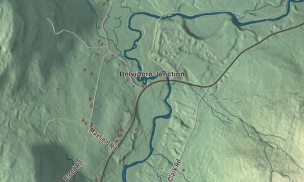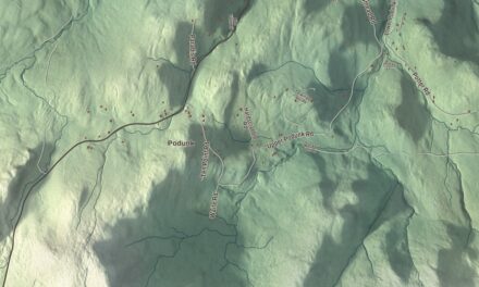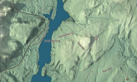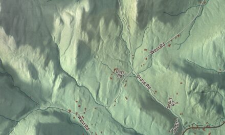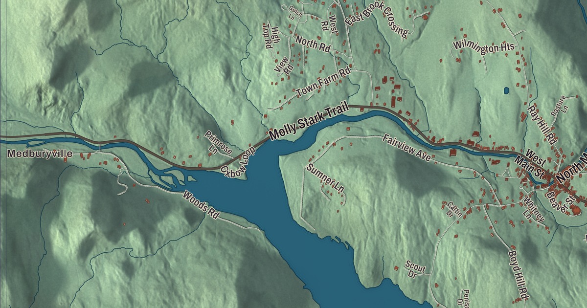
This aerial map of Wilmington, Vermont was created in 2026 using real geographic data to bring the town’s streets, buildings, neighborhoods, ponds and waterways, and terrain together in one highly detailed view. Look closer and you can pick out the familiar places that make Wilmington feel like home. Start with the street you know, then see how it connects to the rest of the Wilmington you call home. Click here to purchase a print of this map for your wall.
Explore an aerial view of Wilmington, Vermont
Start with Medburyville and Chimney Hill. Follow East Main Street, North Main Street, Molly Stark Trail, Fannie Hill Drive, Fannie Hill Road, and Ware Road across town.
Lake Raponda, Haystack Pond, and Spruce Lake are all labeled on the map. Every one of those names is printed directly on the artwork, giving you plenty to explore.
Wilmington dates to 1751. Wilmington is a town in Windham County. It remains a distinct town in Vermont today. Click the image below to see the area as it looked in 2026.
Take a closer look at the Wilmington map
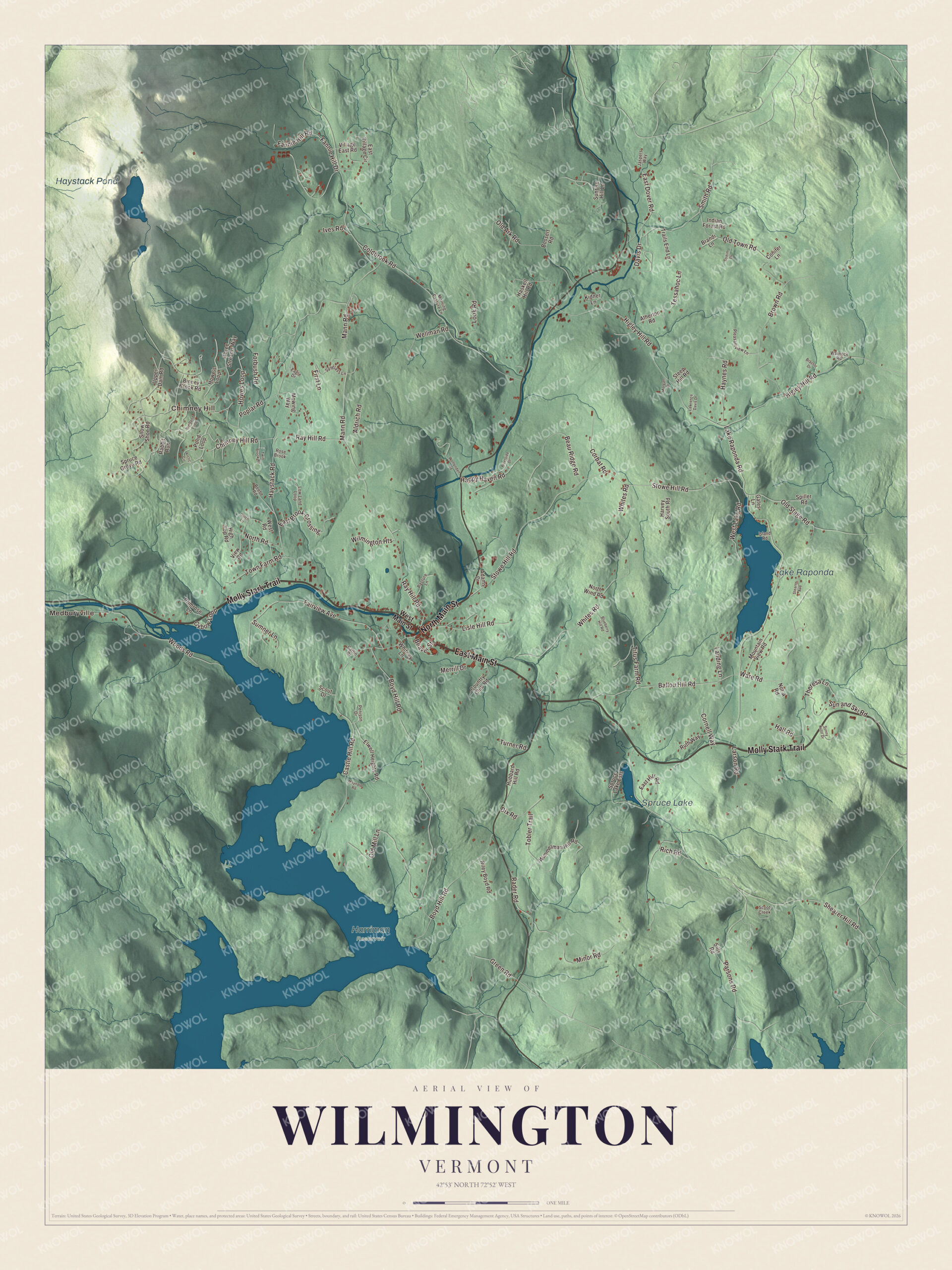
Click to explore a larger preview. The digital watermark does not appear on printed maps.
Names on this map
These names are printed on this map.
Places: Medburyville, Chimney Hill, Lake Raponda, Haystack Pond, Spruce Lake and Harriman Reservoir.
Streets and roads: East Main Street, North Main Street, Molly Stark Trail, Fannie Hill Drive, Fannie Hill Road, Ware Road, Higley Hill Road, Boyd Hill Road, Lake Raponda Road, Haystack Road, Stowe Hill Road, Coldbrook Road.
More street names, A to Z
Adams Drive, Aldrich Road, Arctic Circle, Atherton Road, Ballou Hill Road, Beau Ridge Road, Beaver Street, Beebe Road, Big Bend Loop, Binney Brook Road, Blueberry Hill Road, Bossert Road, Brandi Lane, Brassor Drive, Brown Road, Castle Hill Road, Cattin Drive, Chimney Hill Road, Conifer Lane, Corbat Road, Cornell Way, Country Club Road, Davis Drive, Dix Road, Eagle Drive, East Brook Crossing, East Dover Road, East Hill Road, East Village Circle, Elwell Heights Road, Fairview Avenue, First Lane, Forbush Road, Gates Lane, Green Road, Gulch Lane, Hall Road, Happy Haven Road, Harvey South Road, Haskell Hill Road, Haynes Road, High Top Road, Howe's Loop, Howes Loop, Hubbard Hill Road, Indian Forest Road, Island Road, Ives Road, Jaspers Way, Kidner Lane, Landing Lane, Larson Road, Lawrence Davis Drive, Lisle Hill Road, Look Road, Low Land Loop, Mann Road, Maynard Road, Merrill Drive, Minor Road, Morgan Drive, Morning Pasture Lane, Mountain View Road, Mowing Way, North Road, North Wind Road, Not-A Road, Old Ark Road, Old Mill Lane, Old Stage Road, Old Town Road, Oxbow Loop, Parsons Road, Pasture Lane, Penison Drive, Pleasantview Lane, Pond Loop, Poplar Road, Primrose Lane, Rabbit Run, Rader Road, Ray Hill Road, Rich Road, Riley Boyd Road, Riverside Drive, Rose Brook, Ruth Way, Scoot Creek, Scout Drive, Shearer Hill Road, Sills Road, Smith Road, Snow Shoe Road, Spiller Road, Spruce Grove Road, Spruce Lake Ests, Spyglass Lane, Stearns Avenue, Steep Hill Road, Streim Drive, Sumner Lane, Sun and Ski Road, Sunny Knoll Drive, Sunrise Hill Lane, Tessahoc Lane, Theresa Lane, Three Streams Way, Titus Farm Road, Tobler Trail, Town Farm Road, Trails End Lane, Turner Road, Twin Brook Road, Upper Dam Road, View Road, Village East Road, Warnock Road, Wellman Road, West Lake Road, West Main Street, West Road, Whites Road, Whitney Lane, Wilmington Heights, Wimmelman Hill Road, Woffenden Road, Woods Road.
See it on a wall
The Wilmington map as a framed print. Swipe for more.


We designed the artwork at KNOWOL using Wilmington’s real streets, buildings, neighborhoods, ponds and waterways, and terrain, the town boundary, and the way buildings spread across the town. Then we chose the color, relief, lettering, and layout that make the map look great on the wall.
This beautifully detailed map of Wilmington makes an attractive addition to your office, library, or den and can even be used to teach children the geography and history of the area. When you’re done exploring, click here to get your copy of the Wilmington, Vermont map.