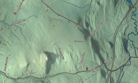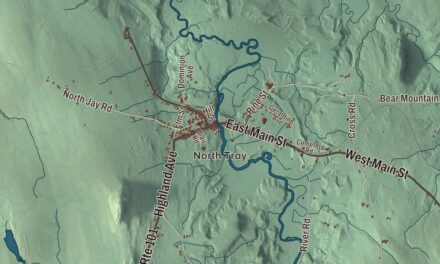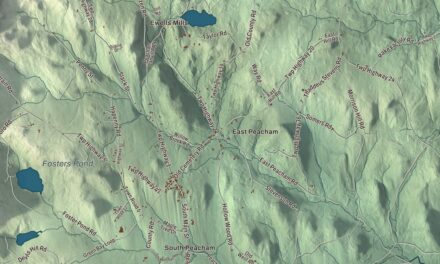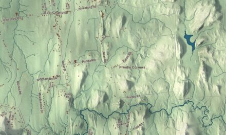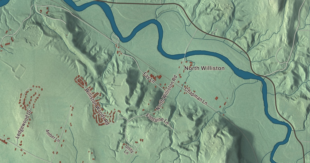
This aerial map of Williston, Vermont was created in 2026 using real geographic data to bring the town’s streets, buildings, neighborhoods, ponds and waterways, and terrain together in one highly detailed view. Look closer and you can pick out the familiar places that make Williston feel like home. Start with the street you know, then see how it connects to the rest of the Williston you call home. Click here to purchase a print of this map for your wall.
Explore an aerial view of Williston, Vermont
Start with North Williston and Kirby Corner. Follow Hinesburg Road, Williston Road, Saint George Road, Essex Road, Hanon Drive, and Harvest Lane across town. Then look outward toward Tafts Corner.
Lake Iroquois is labeled on the map. That name is printed directly on the artwork, giving you a place to begin exploring.
Williston dates to 1763. Williston is a town in Chittenden County. It remains a distinct town in Vermont today. Click the image below to see the area as it looked in 2026.
Take a closer look at the Williston map
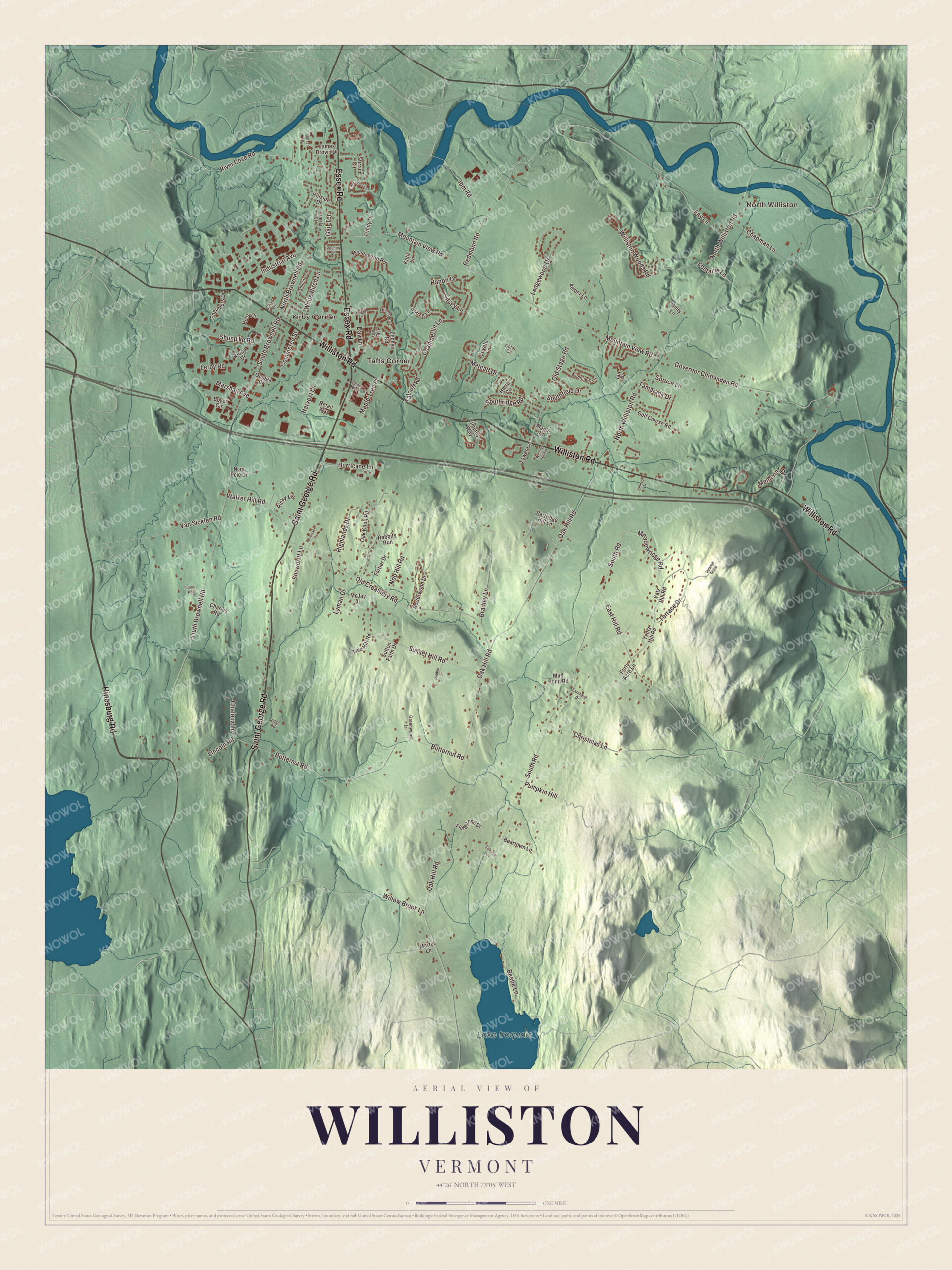
Click to explore a larger preview. The digital watermark does not appear on printed maps.
Names on this map
These names are printed on this map.
Places: North Williston, Kirby Corner, Tafts Corner and Lake Iroquois.
Streets and roads: Hinesburg Road, Williston Road, Saint George Road, Essex Road, Hanon Drive, Harvest Lane, Mountain View Road, Oak Hill Road, South Road, South Brownell Road, North Williston Road, Governor Chittenden Road.
More street names, A to Z
Amber Lane, Barrett Lane, Beartown Lane, Beebe Lane, Bittersweet Circle, Boyer Circle, Bradley Lane, Butternut Road, Caboose Lane, Casey Lane, Chad Lane, Chaloux Lane, Chamberlin Lane, Chapman Lane, Charles Road, Chloe Circle, Christmas Lane, Commerce Street, Connor Way, Country Lane, Coyote Lane, Day Lane, Dorset Lane, Dunmore Lane, Earnhardt Drive, East Hill Road, Engineers Drive, Fay Lane, Fieldstone Drive, Fontaine Lane, Fortier Drive, Forty Acre Lane, Gail Terrace, Golf Course Road, Greenwood Lane, Harte Circle, Highlands Drive, Hillside Drive, Holly Court, Hurricane Lane, Ian Place, Ibm Road, Industrial Avenue, Jake Way, James Brown Drive, Johnson Lane, Johns Road, Katie Lane, Knight Lane, Krupp Drive, Lamplite Lane, Ledgewood Drive, Leroy Road, Lincoln Road, Lyman Drive, Maple Road, Maple Tree Place, Marshall Avenue, Martel Lane, McJay Drive, Meadowridge Road, Meadowrun Road, Memorial Drive, Metcalf Drive, Mud Pond Road, Nob Hill Road, Nora Pete Drive, North Brownell Road, Oak Knoll Road, Old Creamery Road, Old Stage Road, Omega Drive, Overlake Vw, Pamela Court, Partridge Hill Lane, Pebble Lane, Porterwood Drive, Pumpkin Hill, Rabbits Run, Redmond Road, Retail Way, Ricky Vis, Ridge Road, River Cove Road, Shunpike Road, Snowdrift Lane, Southfield Drive, Southridge Road, Spruce Lane, Stirrup Circle, Summit Ridge, Sunset Hill Road, Sutton Farm Drive, Talcott Road, Tamarack Drive, Terrace Drive, Timothy Way, Tower Lane, Tree Hill Road, Trinity Drive, Unity Lane, Van Sicklen Road, Walker Hill Road, White Birch Lane, Whitney Hill Road, Wildflower Circle, Williston Woods Road, Willow Brook Lane, Yantz Hill Road, Yatz Hill Road, Zephyr Road.
See it on a wall
The Williston map as a framed print. Swipe for more.


We designed the artwork at KNOWOL using Williston’s real streets, buildings, neighborhoods, ponds and waterways, and terrain, the town boundary, and the way buildings spread across the town. Then we chose the color, relief, lettering, and layout that make the map look great on the wall.
This beautifully detailed map of Williston makes an attractive addition to your office, library, or den and can even be used to teach children the geography and history of the area. When you’re done exploring, click here to get your copy of the Williston, Vermont map.