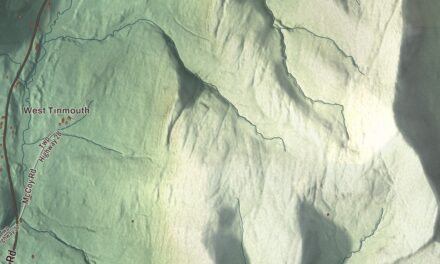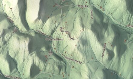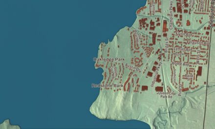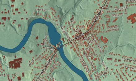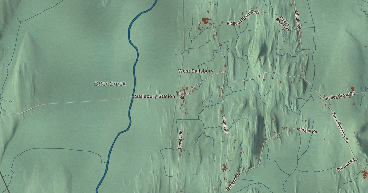
Salisbury sits in southern Addison County, where the western edge of the Green Mountains meets the eastern edge of the Champlain Valley, between Otter Creek on the west and Lake Dunmore on the east. This map prints Salisbury Station, West Salisbury and Lake Dunmore, with Lake Dunmore Road, West Shore Road, Upper Plains Road and Otter Creek.
Salisbury is a town in Addison County, Vermont.
KNOWOL made this map in 2026 from public survey data and gave it the look of an old county atlas, shading the hills from United States Geological Survey elevation data and drawing the roads and town line from the Census Bureau. The town covers 30.0 square miles, and 1,221 people lived here at the 2020 census. Click here to purchase a print of this map for your wall.
Ann Story on Otter Creek
Benning Wentworth, New Hampshire’s governor, chartered Salisbury on November 3, 1761. It may be named for Salisbury, Connecticut, home of John Evarts, the grantees’ agent, or for James Cecil, the 6th Earl of Salisbury. In March 1775 Amos Story of Connecticut took up 100 acres here, offered as a gratuity to draw settlers, and began building a log house that fall with his son Solomon. Amos died in an accident within weeks, and in the spring of 1776 his widow, Ann Story, brought her children to clear and farm the land herself.
Ann Story stayed on the farm through the Revolution even after her Salisbury neighbors had left. Otter Creek, near her cabin, was a busy route in those years, and to keep the family safe she and her children dug a cave into the west bank of the creek, its mouth big enough to take their canoe, where they slept at night above the waterline. She served at times as a spy and courier for the Green Mountain Boys, which two of her sons later joined, and when a Loyalist threatened to shoot her for refusing to answer his questions, she called him a coward and then hurried to warn the Patriots nearby. The family came back to live year-round on the farm in 1783. Her renown came largely from Daniel Pierce Thompson’s 1839 novel The Green Mountain Boys. A marble monument was placed at her home site in 1905, another across the creek in Cornwall at the site of the cave in 1914, and a reconstructed log cabin went up on the Salisbury site in 1974. The town organized on March 17, 1788, with Stephen Hard as its first representative.
The village
Salisbury’s small village center is on Maple Run Road. Asahel Parsons built the Greek Revival Congregational church there between 1840 and 1842, and it keeps its box pews and pulpit. The town decided in 1857 to build a town hall, the Civil War held it up, and it was finished in 1869 at Maple Run Road and Prospect Street; it has served as town hall, library and school, and it got its second story in 1908. Across Maple Street, the village blacksmith shop was probably built in 1794 and 1795, when John Deming moved to Salisbury and set up his smithy, and it’s the last piece left of a once busy industrial area beside the village. The forge area, with its brick and stone hearth and a bellows of wood and leather, is still inside.
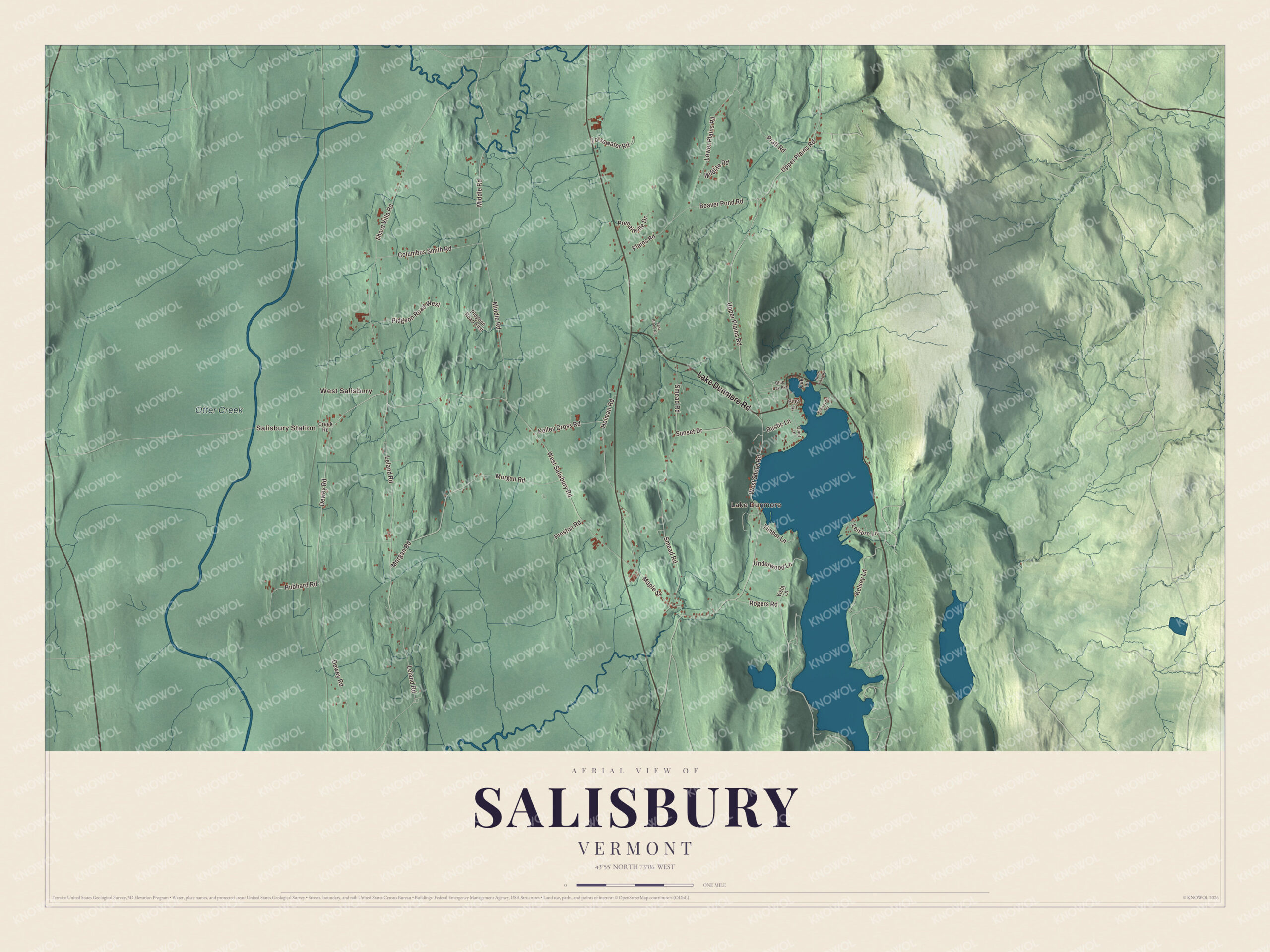
Click to explore a larger preview. The digital watermark does not appear on printed maps.
Names on this map
These names are printed on this map.
Places: Salisbury Station, West Salisbury, Lake Dunmore and Otter Creek.
Streets and roads: Lake Dunmore Road, West Salisbury Road, Leisure Lane, West Shore Road, Upper Plains Road, Hubbard Road, Maple Street, Leland Road, Dewey Road, Middle Road, Shard Villa Road, Smead Road.
More street names, A to Z
Beaver Pond Road, Blue Jay Avenue, Columbus Smith Road, Creek Road, East Brook Road, Holman Road, Keewaydin Road, Kelley Cross Road, Kelsey Lane, Lotsawater Road, Lower Plains Road, Morgan Road, North Pond Road, Oak Lane, Pidgeon Road East, Pidgeon Road West, Pine Lane, Plains Road, Pomainville Drive, Pratt Road, Preston Road, Quiet Lane, Rogers Road, Rustic Lane, Sunset Drive, Timber Lane, Underwood Lane, Vista Lane, Wildlife Road.
See it on a wall
The Salisbury map as a framed print. Swipe for more.


Lake Dunmore and the west side
The northern half of Lake Dunmore lies in the eastern part of town. The lake covers 985 acres across Salisbury and Leicester and is more than 3 miles long, fed by Sucker Brook out of the Moosalamoo National Recreation Area. Branbury State Park holds 69 acres of its eastern shore, with 1,000 feet of sandy beach, hiking trails, waterfalls, caves and campsites; the land was a farm and then a summer boys’ camp before it became a state park in 1945. Keewaydin has run a boys’ camp on the lake since 1910, and Point CounterPoint, a chamber music camp, has been on the western shore since 1963. Along Route 53, about half a mile east of Route 7, the Salisbury Fish Hatchery opened in 1931, the first state hatchery not built near a railroad; it raises broodstock trout for Vermont’s other hatcheries.
In the northwest corner of town, the international lawyer Columbus Smith built Shard Villa in 1872, a limestone Second Empire house with a three-story mansard tower, and it has long been one of the oldest elder care homes in continuous operation in the state. Out on Otter Creek, the Cedar Swamp Covered Bridge, also called the Station Bridge, joined Salisbury and Cornwall from 1865 until it burned in September 2016. John E. Weeks, governor of Vermont, was born in Salisbury in 1853 and is buried in the West Salisbury Cemetery, and the newspaper publisher Wilbur F. Storey, who owned the Detroit Free Press and the Chicago Times, was born here in 1819.
On the map, start with Salisbury Station, then follow Lake Dunmore Road, West Salisbury Road, Leisure Lane, West Shore Road, Upper Plains Road and Hubbard Road across town. Then look outward toward West Salisbury and Lake Dunmore. Otter Creek is printed too. Salisbury dates to 1761.
This map of Salisbury is made for everyone who calls Salisbury home, and it shows the town as it looks today, from Salisbury Station and Otter Creek to West Shore Road and Lake Dunmore. Hang it in an office, library or den, or use it to teach children the geography and history of their town. It’s printed on museum quality archival paper. Zoom in on the preview above to explore the details, then click here to get your copy of the Salisbury, Vermont map.

Sources
- Salisbury, Vermont, Wikipedia
- Town histories and representatives, S towns, Vermont Legislature
- Ann Story, Wikipedia
- Salisbury Congregational Church, Wikipedia
- Salisbury Town Hall, Wikipedia
- Salisbury Village Blacksmith Shop, Wikipedia
- Lake Dunmore, Wikipedia
- Salisbury Fish Hatchery, Wikipedia
- Shard Villa, Wikipedia
- Cedar Swamp Covered Bridge, Wikipedia
- John E. Weeks, Wikipedia
- Wilbur F. Storey, Wikipedia