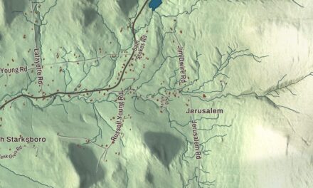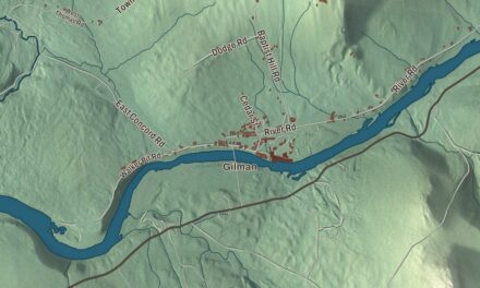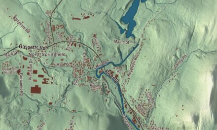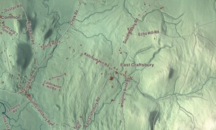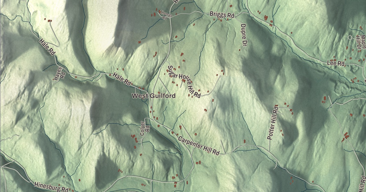
Guilford’s village sits on Coolidge Highway, the old north and south road through town that’s now U.S. Route 5, and some of its buildings there are more than two hundred years old. This map prints Coolidge Highway, Lake Ridge Road, Sweet Pond Road, Stage Road, River Road and Keets Brook Road, with West Guilford, Packer Corner, Guilford Center, Weatherhead Hollow Pond and Sweet Pond.
Guilford is a town in Windham County, Vermont.
KNOWOL made this map in 2026 from public survey data and gave it the look of an old county atlas, shading the hills from United States Geological Survey elevation data and drawing the roads and town line from the Census Bureau. Guilford lies in the southeast corner of Vermont, just north of the Massachusetts line and south of Brattleboro, and its highest point is Governor’s Mountain, at 1,823 feet. Click here to purchase a print of this map for your wall.
Whose Guilford?
New Hampshire granted the town on April 2, 1754, renewed the grant in 1761 and 1764, and the town organized in 1772. The name has more than one explanation. The town’s own history page says it’s most often credited to Frederick North, Earl of Guilford and Britain’s prime minister, but he didn’t take that title until 1790, so a peer honored by Benning Wentworth would have been his father, Francis. It also mentions Guildford, England, and Guilford, Connecticut, home of some of the grantees. During the Revolution the town split between people loyal to New York and people loyal to Vermont, with two sets of officials, until Vermont sent Ethan Allen and the militia in 1783 in what’s called the Guilford War. Many of the New York side later moved to New York state.
Lucy Terry Prince made her home in Guilford. Kidnapped in Africa and enslaved as a small child, she gained her freedom when Abijah Prince, a free Black man, bought it before their marriage in 1756. Her ballad “Bars Fight,” composed in 1746, is considered the oldest known work of literature by an African American. The Princes settled in Guilford in 1764 and prospered on their land. When a neighbor’s family started a dispute against them, Lucy took her case to the governor of Vermont in 1785 and won a finding that the family had been “greatly oppressing” them. Others who called Guilford home include the playwright Royall Tyler, whose comedy The Contrast was the first American comedy staged by professional actors, and who moved here in 1796; the abolitionist and Civil War general John W. Phelps, born in Guilford; and the pianist Rudolf Serkin, who kept a dairy farm here and co-founded the Marlboro Music School and Festival.
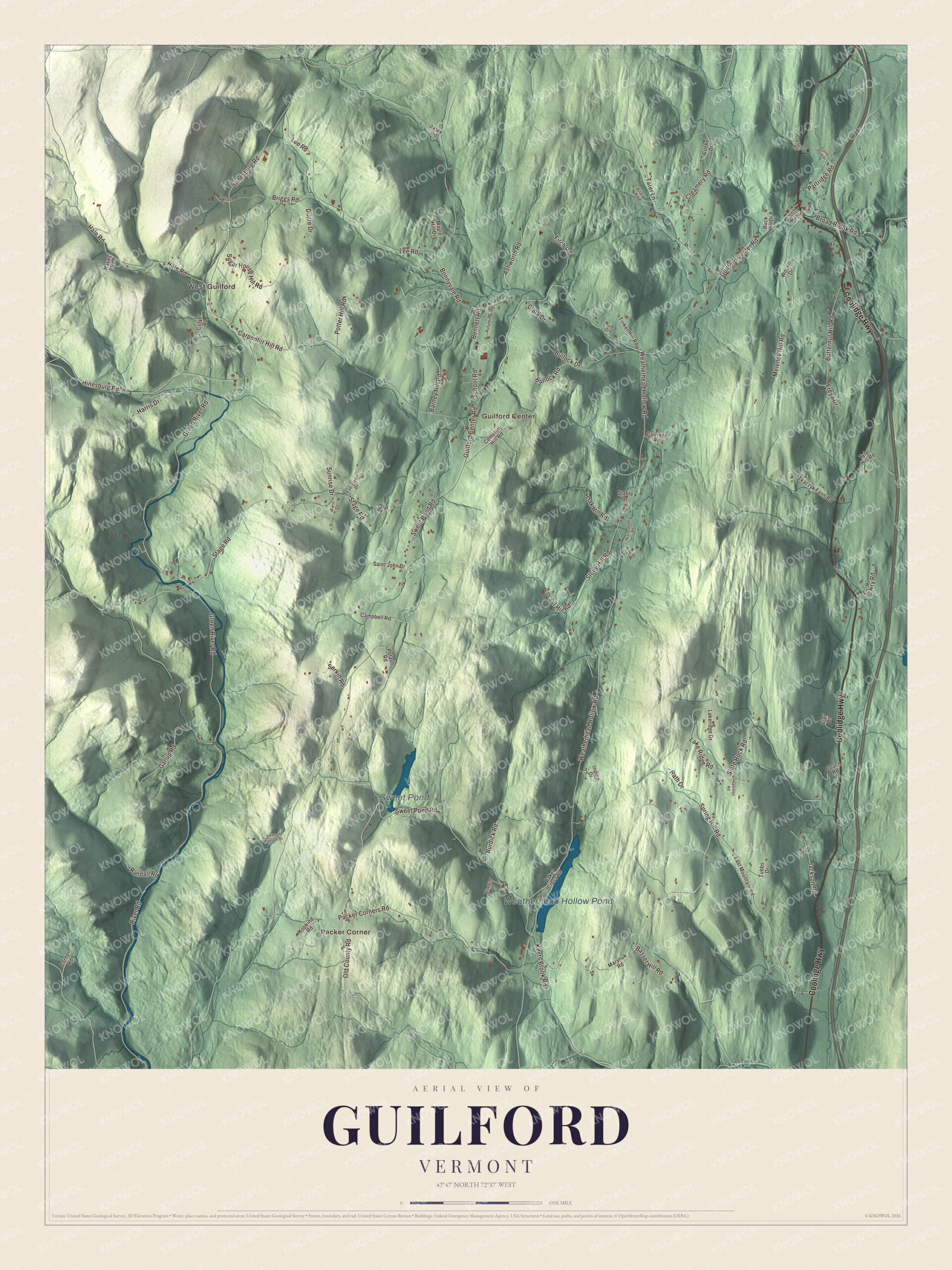
Click to explore a larger preview. The digital watermark does not appear on printed maps.
Names on this map
These names are printed on this map.
Places: West Guilford, Packer Corner, Guilford Center, Weatherhead Hollow Pond and Sweet Pond.
Streets and roads: Coolidge Highway, Lake Ridge Road, Sweet Pond Road, Stage Road, River Road, Keets Brook Road, Green River Road, Basset Hill Road, Old County Road, Weatherhead Hollow Road, School Road, Guilford Center Road.
More street names, A to Z
Akley Road, Allard Road, Ashworth Road, Autumn Hill Drive, Baker Cross Road, Barney Hill Road, Bennett Road, Bluebird Drive, Bonnyvale Road, Briggs Road, Broad Brook Road, Buck Hill Drive, Bullock Drive, Bullock Road, Burdick Road, Butternut Hill Road, Campbell Road, Carpenter Hill Road, Carriage Road, Cemetery Hill Road, Clark Drive, Clay Drive, Coach Road, Colyer Road, Cooke Drive, Corner Road, Creamery Road, Dupre Drive, East Mountain Road, Evergreen Drive, Fairground Road, Fern Drive, Fitch Road, Freya Drive, Gallup Road, Grist Mill Road, Hale Road, Hamilton Road, Harris Drive, Hayes Road, Hinesburg Road, Indigo Drive, Jackson Road, Johnson Pasture Drive, Kopkind Road, Lakeridge Drive, Lee Road, Locust Hill Road, Lowry Road, Maple Hill Drive, Marynuk Road, Melendy Hill Road, Oak Hill Road, Packer Corners Road, Partridge Road, Pauls Road, Potash Road, Potter Hill Road, Randall Road, Rath Drive, Saint John Drive, Serkin Road, Slate Rock Road, Spring Hill Road, Stable Drive, Stony Hill Road, Sugar House Hill Road, Sunrise Drive, Tater Lane, Thomas Road, Tinker Hill Road, Tkaczyk Farm Road, Trailer Park Drive, Tubbs Drive, Tyler Hill Road, Winsor Drive, Wocell Drive, Yeaw Road.
See it on a wall
The Guilford map as a framed print. Swipe for more.


Along Coolidge Highway and Guilford Center Road
In 1817 Solomon Pratt built a tavern on the main road at Guilford Center Road. Known as the Broad Brook House, it’s one of the oldest surviving tavern houses in Vermont and has been the Guilford Country Store since 1936. Across the corner, the Tontine Building of 1819 is one of only three buildings in the state known to have been paid for by a tontine, where the payouts went to the surviving investors. Just south of the village, Christ Church, built in 1817, was the first Episcopal church in Vermont. Out at Guilford Center, the 1837 meeting house built by Universalists is one of the state’s earliest Gothic church buildings, and the historical society has owned it since 1977. In far western Guilford, the Green River Covered Bridge of the 1870s carries Green River Road over the river, just below a crib dam first recorded in 1811, one of the few of its kind left in the state.
West Guilford has a story of its own. The village was first called Hinesburg, after William Hines of Rehoboth, Massachusetts, and when it asked for a post office in the 1890s, Washington refused the name because Vermont already had a Hinesburg. The office opened as Hale in 1896 and closed in 1903, and Hinesburg Brook still runs through the village. At Packer Corner, Marty Jezer, Verandah Porche and friends founded Total Loss Farm in 1968. The town’s own website calls Weatherhead Hollow Pond and Sweet Pond prime spots for swimming, skating and fishing.
On the map, follow Coolidge Highway through the village, then take Stage Road, River Road, Keets Brook Road and Lake Ridge Road. Sweet Pond Road and Sweet Pond are printed, and so are Guilford Center, West Guilford, Packer Corner and Weatherhead Hollow Pond. Guilford dates to 1754.
This map of Guilford is made for everyone who calls Guilford home, and it shows the town as it looks today, from West Guilford to Coolidge Highway. Hang it in an office, library or den, or use it to teach children the geography and history of their town. It’s printed on museum quality archival paper. Zoom in on the preview above to explore the details, then click here to get your copy of the Guilford, Vermont map.

Sources
- Guilford, Vermont, Wikipedia
- Town histories and representatives, G towns, Vermont Legislature
- Guilford History, Town of Guilford
- About Guilford, Town of Guilford
- Lucy Terry, Wikipedia
- Royall Tyler, Wikipedia
- John W. Phelps, Wikipedia
- Rudolf Serkin, Wikipedia
- Broad Brook House, Wikipedia
- Tontine Building, Wikipedia
- Christ Church (Guilford, Vermont), Wikipedia
- Guilford Center Meeting House, Wikipedia
- Green River Covered Bridge, Wikipedia
- Green River Crib Dam, Wikipedia
- Martin Jezer, Wikipedia