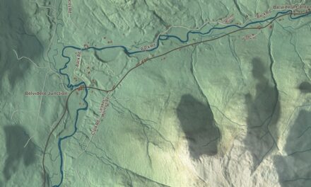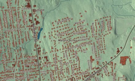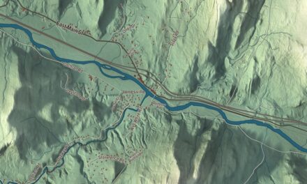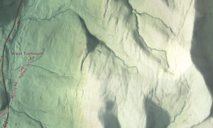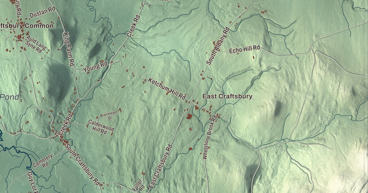
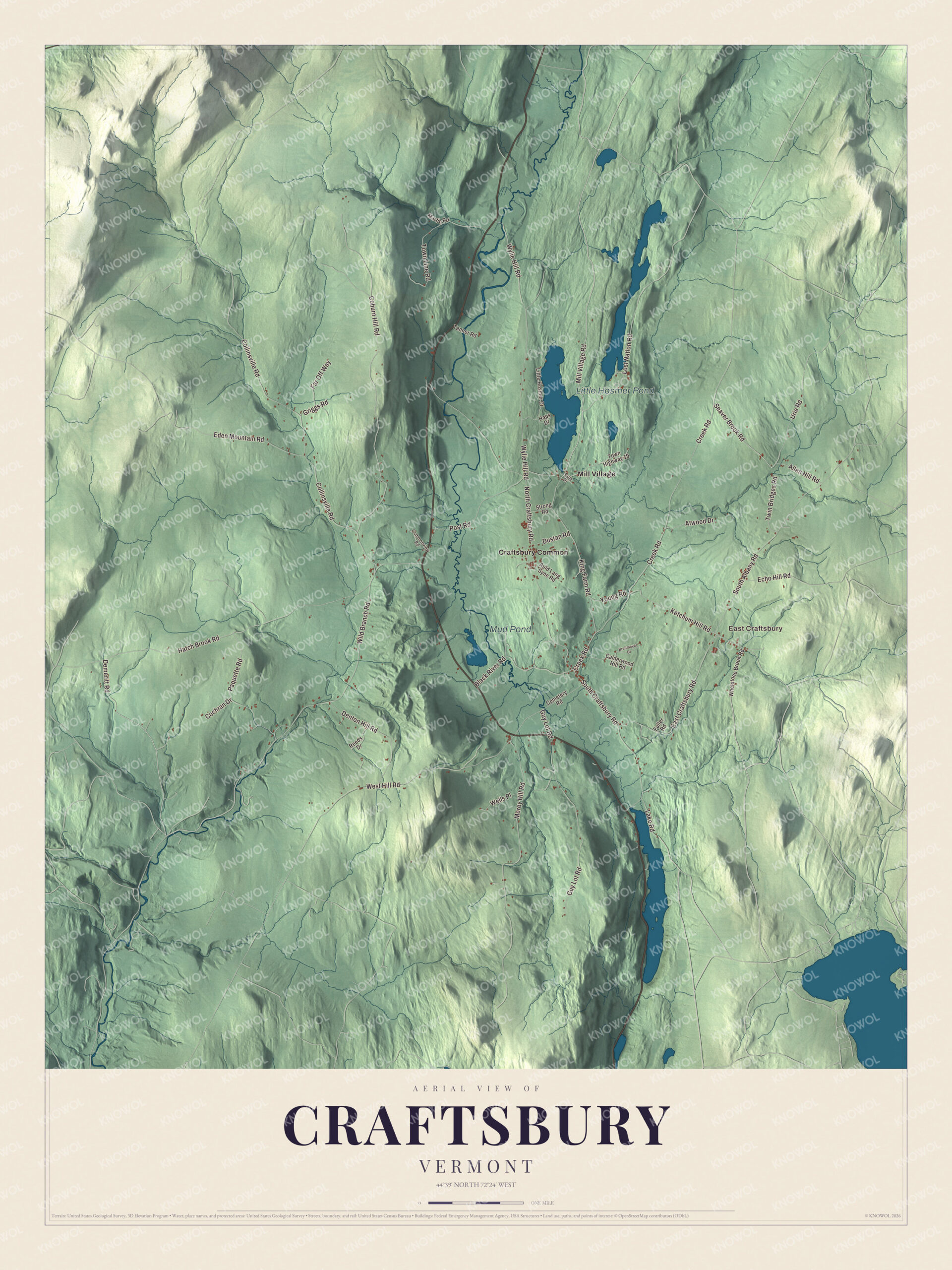
Craftsbury Common has been in the movies more than once, but the town has four villages, and this map prints three of them: Craftsbury Common, Mill Village and East Craftsbury. Little Hosmer Pond and Mud Pond are here too, along with Mill Village Road, Creek Road, Seaver Brook Road, Young Road, Ketchum Hill Road and Coburn Hill Road.
Craftsbury is a town in Orleans County, Vermont.
KNOWOL made this map in 2026 from public survey data and gave it the feel of an old county atlas. The hills and valleys of the plateau are shaded from United States Geological Survey elevation data, and the roads and the town line come from the Census Bureau. Craftsbury covers 39.7 square miles, and it had 1,343 people at the 2020 census. Click here to purchase a print of this map for your wall.
From Minden to Craftsbury
Craftsbury dates to 1781. Vermont granted the land on November 6, 1780, to Ebenezer Crafts, Timothy Newell and sixty-two associates, and chartered it on August 23, 1781, under the name Minden. Crafts, a Yale graduate who had built the Publick House in Sturbridge, Massachusetts, and founded Leicester Academy, came north to settle the town in 1791, and he was the first settler in the county. The town took his name on October 27, 1790. His son Samuel C. Crafts served as governor of Vermont from 1828 to 1831 and retired to his farm here.
North Craftsbury, later called Craftsbury Common, was the first real settlement and for many years the center of culture and trade for Craftsbury and the towns around it. As mills spread in the early 1800s, people settled at Mill Village and Craftsbury Village, and East Craftsbury grew up as a mostly Scottish settlement. By 1840 the town’s 1,200 people were mostly farmers, and that year they made 35,412 pounds of maple sugar. The roads were poor enough that the town needed 12 school districts to run its schools.
The Common and its academy
Craftsbury Academy, facing the Common, was incorporated in 1829, and its first building, a two-story brick schoolhouse, went up in 1832. The school has run without a break since then, which makes it one of the oldest in the state. In the 1840s the educator Samuel Read Hall ran a department for training teachers at an academy in Craftsbury. Caroline Burnham Kilgore, born in town in 1838, went to the Craftsbury Common District School and the academy and later became the first woman admitted to the Pennsylvania bar. Roger L. Easton, born in Craftsbury in 1921, conceived and led the development of the key technologies behind GPS and received the National Medal of Technology for it.
Click to explore a larger preview. The digital watermark does not appear on printed maps.
Names on this map
These names are printed on this map.
Places: East Craftsbury, Little Hosmer Pond, Mud Pond, Craftsbury Common and Mill Village.
Streets and roads: Mill Village Road, Seaver Brook Road, Creek Road, Young Road, Ketchum Hill Road, Coburn Hill Road, North Craftsbury Road, Hatch Brook Road, Wild Branch Road, Collinsville Road, South Albany Road, Wylie Hill Road.
More street names, A to Z
Allen Hill Road, Atwood Drive, Auld Lang Syne Road, Black River Road, Breitmeyer Drive, Calderwood Hill Road, Cemetery Road, Cochran Drive, Cole Drive, Commonview Road, Demeritt Road, Denton Hill Road, Dustan Road, East Craftsbury Road, Echo Hill Road, Eden Mountain Road, Far Off Way, Fuller Road, Griggs Road, Guy Lot Road, Haps Drive, King Farm Road, Lake Road, Little Hosmer Drive, Lost Nation Road, Martin Road, Morey Hill Road, Paquette Road, Post Road, Reeds Drive, South Craftsbury Road, Strong Road, Tanner Road, Town Highway 19, Town Line Road, Twin Bridges Road, Urie Road, Wells Place, West Hill Road, Whetstone Brook Road.
See it on a wall
The Craftsbury map as a framed print. Swipe for more.


On screen
Alfred Hitchcock shot the scenery for The Trouble with Harry in Craftsbury, and the 1955 film is set entirely in town. It uses the parsonage beside the East Craftsbury Presbyterian Church and shots of Craftsbury Common. The crew arrived on September 27, 1954, expecting full color, found the leaves nearly gone, and glued leaves to the trees. In 1976 the IMAX film To Fly!, made for the Smithsonian’s National Air and Space Museum, opened with a hot air balloon drifting over the United Church of Craftsbury on the Common.
Ponds, trails and boats
Craftsbury sits on a plateau with five ponds and lakes. Great Hosmer Pond and Little Hosmer Pond are home to the Craftsbury Sculling Center, one of the oldest sculling programs in the United States, and the Craftsbury Outdoor Center keeps 105 kilometers of Nordic ski trails. The Craftsbury Marathon on skis has run since 1981. Near Craftsbury village there’s a gray granite full of round nodules of black mica and quartz, once thought to be unlike any other rock in America or Europe. The Craftsbury Chamber Players have given summer concerts since 1966.
On the map, start with Craftsbury Common and Mill Village, then find East Craftsbury, Mill Village Road, Creek Road, Seaver Brook Road, Young Road, Ketchum Hill Road and Coburn Hill Road. Little Hosmer Pond and Mud Pond are both printed on the map.
This map of Craftsbury is made for everyone who calls Craftsbury home, and it shows the town as it looks today, from the Common to Little Hosmer Pond. Hang it in an office, library or den, or use it to teach children the geography and history of the town. KNOWOL created it in 2026, and it’s printed on museum quality archival paper. Zoom in on the preview above to explore the details, then click here to get your copy of the Craftsbury, Vermont map.

Sources
- Craftsbury, Vermont, Wikipedia
- Town histories and representatives, C towns, Vermont Legislature
- Ebenezer Crafts, Wikipedia
- Samuel C. Crafts, Wikipedia
- Craftsbury Academy, Wikipedia
- Samuel Read Hall, Wikipedia
- Caroline Burnham Kilgore, Wikipedia
- Roger L. Easton, Wikipedia
- The Trouble with Harry, Wikipedia