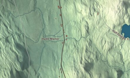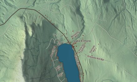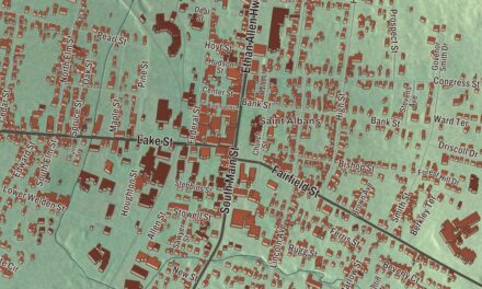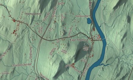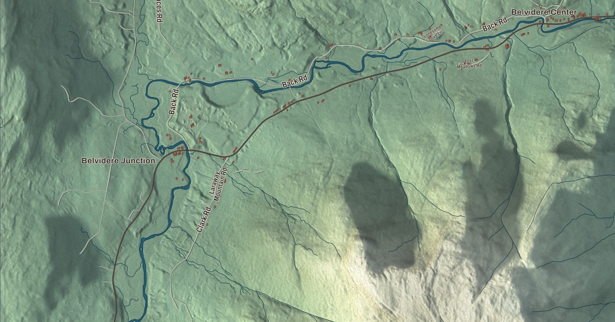
In Belvidere, most of the town lives in the valley of the North Branch, and two 19th-century covered bridges still cross it. This map prints the North Branch Lamoille River with Belvidere Junction and Belvidere Center, and Bog Road, Back Road, Smithville Road, Basin Road, Sacketts Harbor Road and Florences Road.
Belvidere is the northernmost town in Lamoille County, with Franklin County on its northern line.
KNOWOL made this map in 2026 from public survey data and gave it the look of an old atlas. The shaded terrain comes from United States Geological Survey elevation data, and there’s plenty of it: an old county gazetteer called the town “very mountainous,” with peaks between 2,000 and 3,000 feet. The roads and the town line come from the Census Bureau. Belvidere covers 32.1 square miles, and it had 358 people at the 2020 census. Click here to purchase a print of this map for your wall.
A beautiful view
Belvidere was first granted on March 5, 1787, to John Kelley of New York City, as the gazetteer spells him, and Vermont chartered the town by that name on November 14, 1791. Vermont Public, which spells him John Kelly and calls him an Irish lawyer, gives the usual theory: he named it for a beautiful lake in Ireland, and the word itself comes from the Italian for “beautiful view.” Nobody settled here for nearly twenty years. Nathaniel Hodgkins, Moody Shattuck, Timothy Carpenter, John Fletcher and others came in 1806, 1807 and 1808, and the first town meeting was held on March 21, 1808. By 1810 the town had 217 people. It lost land to the new town of Waterville in 1824 and gave 13,440 acres to Eden in 1828, and in 1963 it took in part of Avery’s Gore to the north.
The gazetteer judged the steep ground poor for farming but rich in spruce, hemlock, maple and birch. Lumber was the town’s main work, along with butter tubs and sap buckets, and the North Branch gave it many good mill sites. The streams, it said, ran clear and cold and were full of trout. A Christian church was organized here after the War of 1812, and in 1851 it built its church in Belvidere village.
Neal Brown, who grew up in town, organizes the Belvidere Bluegrass Festival, and in 2025 a newcomer was helping turn the old schoolhouse into a community hub, as Vermont Public heard when its Town by Town series came to Belvidere. Berthold C. Coburn, born here in 1899, became the Democratic nominee for governor of Vermont in 1946.
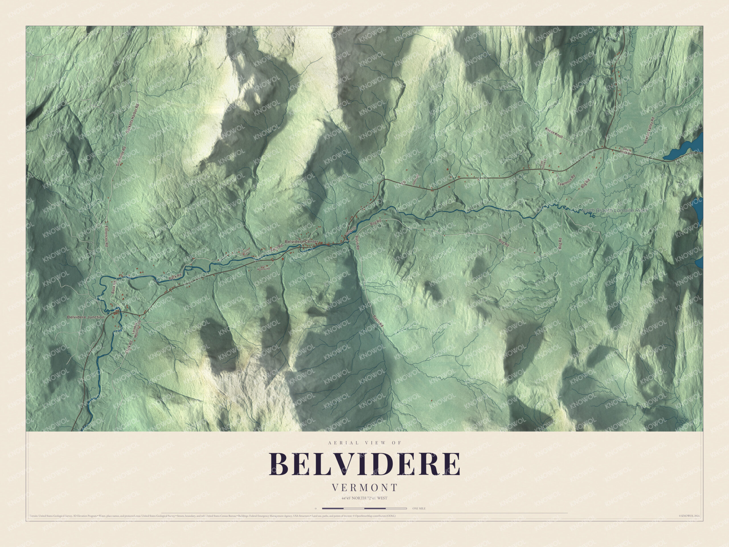
Click to explore a larger preview. The digital watermark does not appear on printed maps.
Names on this map
These names are printed on this map.
Places: Belvidere Junction, Belvidere Center and North Branch Lamoille River.
Streets and roads: Bog Road, Back Road, Smithville Road, Basin Road, Kneen Knoll, Sacketts Harbor Road, Florences Road, Newton Valley Road, Lawrence Road, Clark Road, Laraway Mountain Road, Deer Track Drive.
More street names, A to Z
Cold Hollow Drive, Jim Road, John Lot, Lonesome Dove Lane, Lost Meadows Road, Sullys Drive.
See it on a wall
The Belvidere map as a framed print. Swipe for more.


Along the North Branch
The North Branch Lamoille River flows east to west across the middle of Belvidere, and most of the town’s homes sit in its valley. Vermont Route 109 runs up that valley from Jeffersonville, 11 miles southwest, and ends at Vermont Route 118 at Belvidere Corners in the east, where Route 118 heads north to Montgomery and southeast to Eden. Belvidere Center is on Route 109, 7.9 miles north of the village of Johnson. It had a post office from 1887 to 2004 and still keeps its own ZIP code, 05442.
Back Road follows the north side of the river, with Route 109 on the south side, and the two covered bridges link them. West of the village center, the Mill Covered Bridge, built by Lewis Robinson about 1890, carries Back Road across the North Branch on a slight skew that gives it the shape of a parallelogram. Farther east, the Morgan Covered Bridge, also called the Upper Covered Bridge, was built about 1887 by Robinson, Charles Leonard and Fred Tracy and carries Morgan Bridge Road over the river. Both were listed on the National Register of Historic Places in 1974, and they’re two of five covered bridges that cross the North Branch within five miles, in Belvidere and neighboring Waterville. The gazetteer lists a Basin Brook among the streams that feed the river. Belvidere Junction, Bog Road, Smithville Road, Basin Road, Sacketts Harbor Road and Florences Road are printed on the map as well.
This map of Belvidere would suit an office, library or den, and it can even help teach children the geography and history of a mountain town on the North Branch. It’s made for everyone who calls Belvidere home and shows the town as it looks today, from Belvidere Junction to the covered bridges. KNOWOL created it in 2026, and it’s printed on museum quality archival paper. Zoom in on the preview above to explore the details, then click here to get your copy of the Belvidere, Vermont map.

Sources
- Belvidere, Vermont, Wikipedia
- Belvidere, Lamoille County, Vermont (county gazetteer text), Vermont Genealogy
- Town by Town: Belvidere, Vermont Public
- Belvidere Center, Vermont, Wikipedia
- Mill Covered Bridge (Belvidere, Vermont), Wikipedia
- Morgan Covered Bridge, Wikipedia
- Berthold C. Coburn, Wikipedia