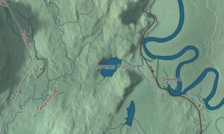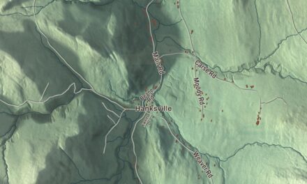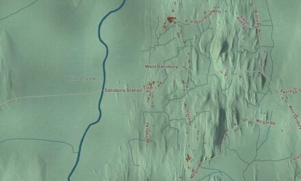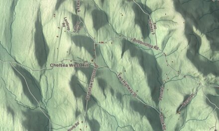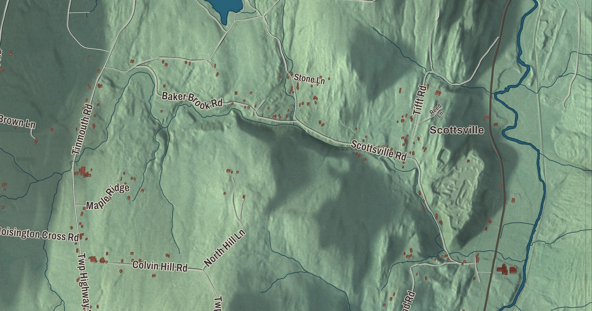
Danby’s marble is in the United States Supreme Court building and the Jefferson Memorial, and most of the old houses in its village stand on marble foundations. This map prints Scottsville and Danby Four Corners, Danby Pond, and South Main Street, North Main Street, Brook Road, Danby Mountain Road, Tinmouth Road and Quarry Road.
Danby is a town in Rutland County, Vermont.
KNOWOL made this map in 2026 from public survey data and gave it the feel of an old county atlas. The Taconic Mountains are shaded from United States Geological Survey elevation data, and the roads and the town line come from the Census Bureau. Danby covers 41.5 square miles, almost all of it land, and it had 1,284 people at the 2020 census. Click here to purchase a print of this map for your wall.
Three stories behind a name
Danby dates to 1761, when New Hampshire granted the town on August 27. It organized in 1769. Nobody is sure where the name came from. The Vermont Encyclopedia says it was most likely named for Thomas Osborne, Earl of Danby. Henry Gannett wrote in 1905 that it came from the village of Danby in North Yorkshire, England. And the historian Willard Sterne Randall, in his biography of Ethan Allen, says Allen named it for a French naval commander of the French and Indian War.
Thomas Rowley brought his family to Danby in 1768. The Rowleys were among the first settlers, and Thomas was the first town clerk. He was also a poet, the spokesman in verse for Ethan Allen, and he became known as “the Poet of the Green Mountain Boys,” famous for the phrase “setting the hills on fire.”
Mountains and marble
Most of Danby lies in the Taconic Mountains, and its eastern line follows Otter Creek through the narrow Valley of Vermont. Dorset Peak, 3,804 feet high, stands on the southern border. The Danby quarry near the peak opened in the early 1900s and is likely the world’s largest underground marble quarry. In 2001 it was reported to turn out about 1,200 tons of marble a month, half of it a fine architectural stone called Imperial Danby.
The village grew up on the west side of Otter Creek around 1800. At first it was less important than the Four Corners, but it housed some of the town’s early mills, and when marble quarrying became Danby’s main industry in the 1840s the village took off. As a result, most of its buildings stand on marble foundations, though only one is built entirely of marble. The railroad arrived in 1851, and the village soon passed the Four Corners as the town’s center. Today 83 buildings along Main Street, roughly between Depot Street and Brook Road, make up the Danby Village Historic District, listed in 1983, among them the library, the fire station and a Congregational church from about 1838.
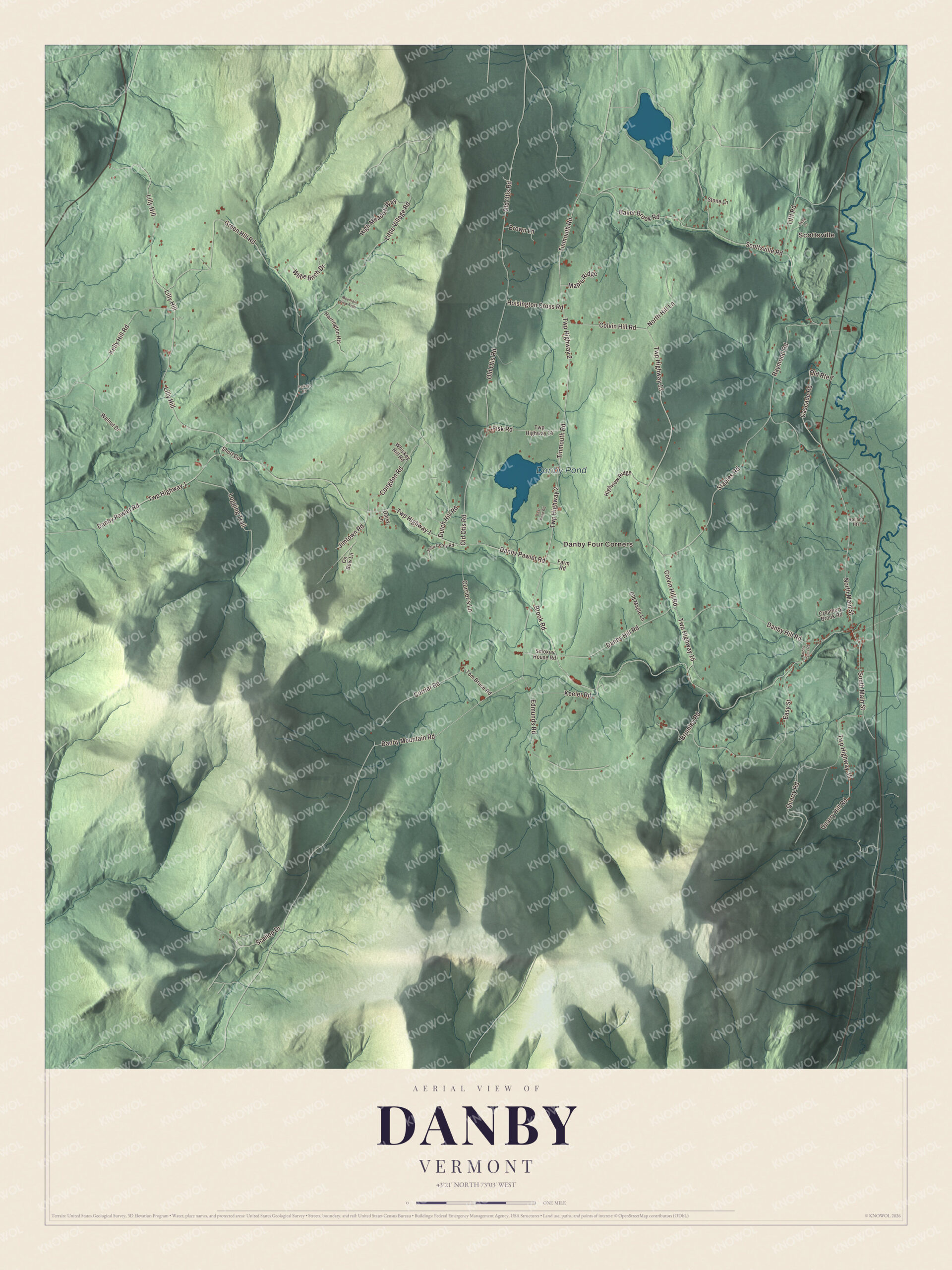
Click to explore a larger preview. The digital watermark does not appear on printed maps.
Names on this map
These names are printed on this map.
Places: Scottsville, Danby Four Corners and Danby Pond.
Streets and roads: Brook Road, Lilly Hill, South Main Street, North Main Street, Danby Mountain Road, Tinmouth Road, Twp Highway 2, Quarry Road, Danby Pawlet Road, Twp Highway 1, Colvin Hill Road, Twp Highway 13.
More street names, A to Z
Baker Brook Road, Bromley Road, Brown Lane, Cascade Road, Congdon Road, Creamery Brook Road, Currier's Lane, Currier Road, Daisy Lane, Danby Hill Road, Dutch Hill Road, East Pond Road, Easy Street, Edmunds Road, Farm Road, Fisk Road, Green Hill Road, Harrington Heights, High Meadow Way, Highview Ridge, Hoisington Cross Road, Holland Heights, Jimtown Road, John Corey Road, Keeler Road, Kelly Hill Road, Little Village Road, Logging Trail, Maple Ridge, Mountain View Trail, North Hill Lane, Old Maple Lane, Old Otis Road, Old Route 7, Ox Bow Lane, Parker Road, Quarry Hill Road, Raiche Cross Road, Raymond Road, Reed Lane, Scallop Drive, Scottsville Road, Short Cut, Smokey House Road, Staples Road, Stone Lane, Tifft Road, Tom Bruce Road, Twp Highway 14, Twp Highway 15, Twp Highway 35, Walnut Drive, Whiskey Hill Road, White Birch Drive.
See it on a wall
The Danby map as a framed print. Swipe for more.


Silas Griffith and Pearl Buck
Silas L. Griffith was born in Danby, opened a general store in his hometown with borrowed money, and built a lumber and charcoal business that made him the first millionaire in the state of Vermont. Late in life he paid for the S. L. Griffith Memorial Library, which still serves Danby, and he and his wife left money in their wills for a gift fund. Every year at a Christmas party, each child in Danby and Mount Tabor from age 2 to 12 receives a gift and, by Griffith’s own instructions, an orange. It’s a tradition the two towns still keep. Danby had a Nobel laureate as a neighbor, too: Pearl S. Buck, author of The Good Earth and the first American woman to win the Nobel Prize in Literature, lived in Danby and died here in 1973.
To find your way around the map, start where Danby Four Corners and Scottsville are printed, then follow South Main Street, North Main Street and Brook Road. Danby Mountain Road, Tinmouth Road and Quarry Road are printed too, and Danby Pond is marked as well.
This map of Danby is for everyone who calls Danby home, and it shows the town as it looks today, from Danby Four Corners to Otter Creek. Hang it in an office, library or den, or use it to teach children the geography and history of a marble town. KNOWOL created it in 2026, and it’s printed on museum quality archival paper. Zoom in on the preview above to explore the details, then click here to get your copy of the Danby, Vermont map.

Sources