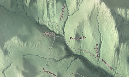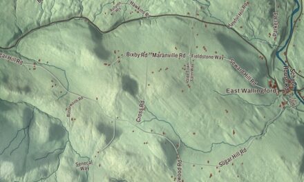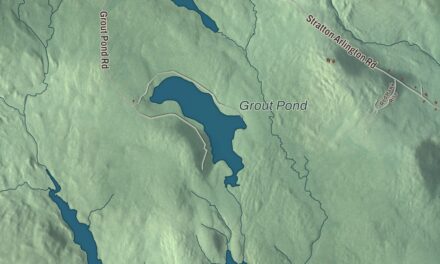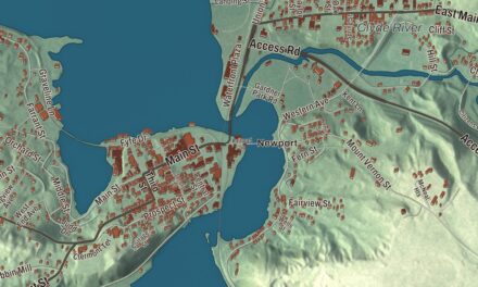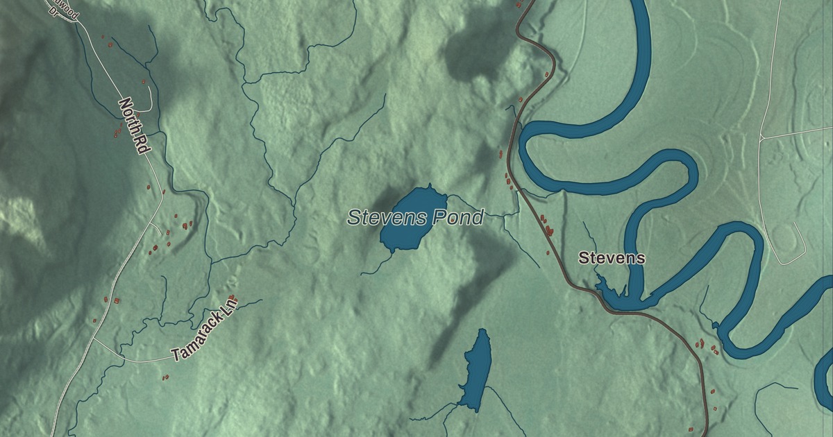
Maidstone has no town center, just a town office in the south, a long stretch of Connecticut River shore and a big glacial lake in the state forest. This map prints Maidstone Lake Road, Lamoureux Road, North Road, Paul Stream Road, Hall Road and West Mountain Pond Road, with Stevens and Browns Mill, and three bodies of water: Maidstone Lake, West Mountain Pond and Stevens Pond.
Maidstone is a town in Essex County, Vermont.
KNOWOL made this map in 2026 from public survey data and gave it the look of an old county atlas, shading the hills from United States Geological Survey elevation data and drawing the roads and town line from the Census Bureau. Water makes up more than five percent of the town’s 32.3 square miles, and the highest point is Stoneham Mountain, 2,143 feet, east of the lake. Click here to purchase a print of this map for your wall.
Between the river and the lake
New Hampshire granted Maidstone on October 12, 1761, and it was named for Maidstone in England. The town organized in March 1788, and in the early years men named Rich, French, Lucas, Hugh and Stevens took turns representing it in the legislature. Guildhall lies to the south, Granby to the southwest, Ferdinand to the northwest and Brunswick to the north, and across the Connecticut are Stratford and Northumberland in New Hampshire. Vermont Route 102 runs the whole length of the town’s east side in the river valley, and 211 people lived here at the 2020 census.
The only way across the Connecticut from Maidstone is the Janice Peaslee Bridge, in the northern part of town, leading to Stratford village. The Berlin Iron Bridge Company of East Berlin, Connecticut, finished the steel and wrought iron truss in 1893. It was closed “temporarily” in 1990 for safety, and Janice L. Peaslee, a Vermont state representative, kept after it until it was completely rebuilt in 2005. The next year it was renamed in her honor. Lamoureux Road is printed on the map. Route 102’s page, spelling it Lamoreaux Road, describes it as the local road that runs east across the river to U.S. Route 3 in Stratford.
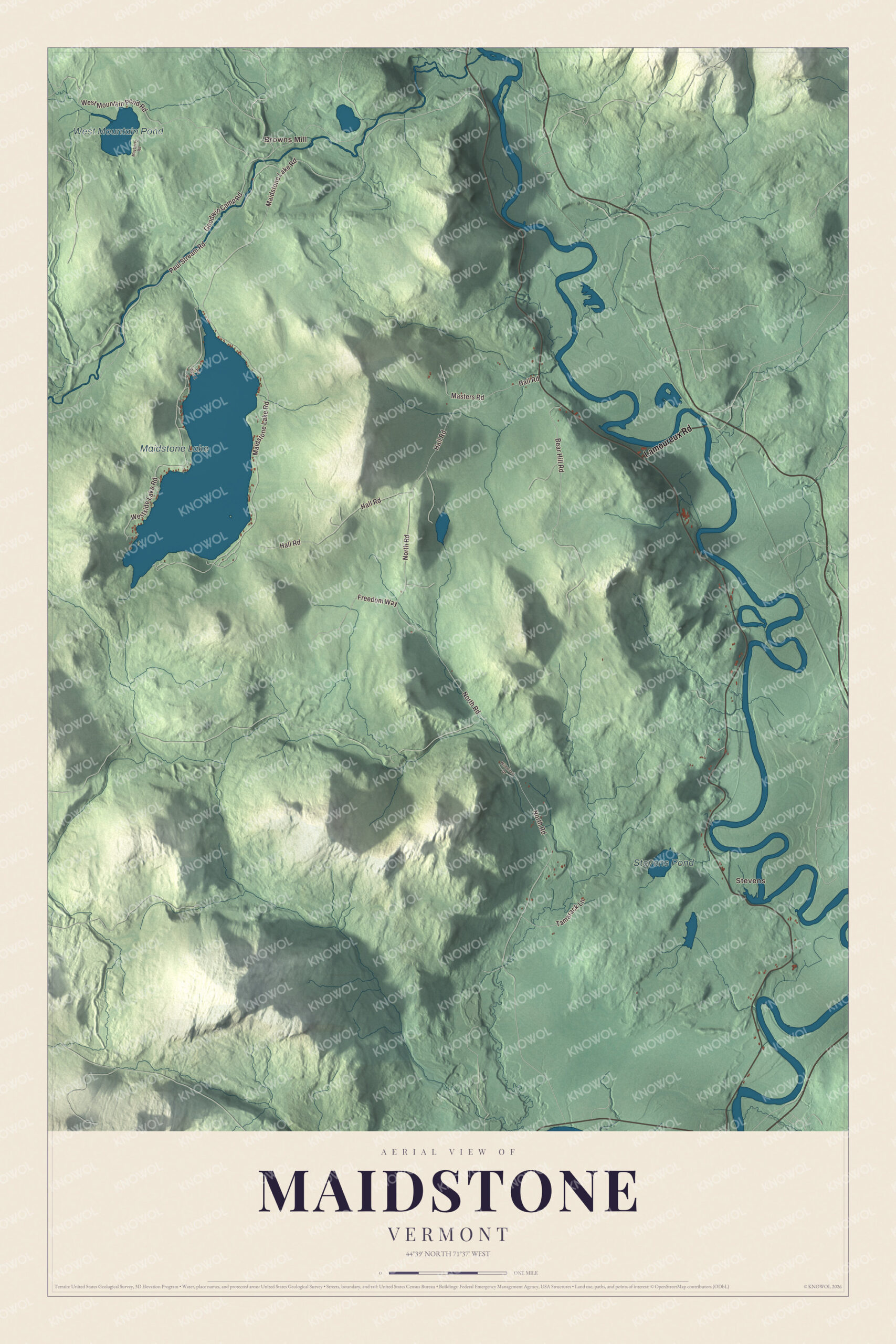
Click to explore a larger preview. The digital watermark does not appear on printed maps.
Names on this map
These names are printed on this map.
Places: Stevens, Browns Mill, Maidstone Lake, West Mountain Pond and Stevens Pond.
Streets and roads: Lamoureux Road, Maidstone Lake Road, North Road, Paul Stream Road, Hall Road, West Mountain Pond Road, Westside Lake Road, Bear Hill Road, Goodwin Camp Road, Freedom Way, Tamarack Lane, Masters Road.
More street names, A to Z
Mayberry Road, Pvt West 1, Wildwood Drive.
See it on a wall
The Maidstone map as a framed print. Swipe for more.


Maidstone Lake
Maidstone Lake is a large glacial lake in the western part of town, 796 acres inside Maidstone State Forest. Maidstone State Park, on its south and east sides, was developed by the Civilian Conservation Corps and opened in 1938, one of the last Vermont state parks the CCC built. Its page calls it one of the state’s most remote parks. The park comes in two parts, both reached by Maidstone Lake Road: a day use area of about 40 acres with a beach, a picnic area with a large CCC pavilion and fourteen stone fireplaces, and a nature center the CCC also built, and about a mile to the south, a larger parcel of 600 acres with camping loops and lean-tos that runs into the hills. The park’s page notes that its remote setting shows the rise of the car for vacation travel, since you need one to get there, and the CCC built a parking lot at the day use area.
On the map, follow Maidstone Lake Road in to the lake, then take North Road, Paul Stream Road, Hall Road and West Mountain Pond Road. Stevens and Browns Mill are printed, and so are West Mountain Pond and Stevens Pond. Maidstone dates to 1761.
This map of Maidstone is made for everyone who calls Maidstone home, and it shows the town as it looks today, from Maidstone Lake to the Connecticut River. Hang it in an office, library or den, or use it to teach children the geography and history of their town. It’s printed on museum quality archival paper. Zoom in on the preview above to explore the details, then click here to get your copy of the Maidstone, Vermont map.

Sources