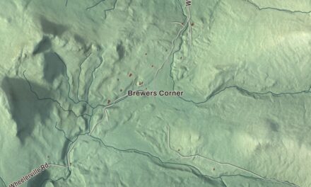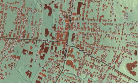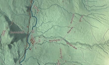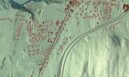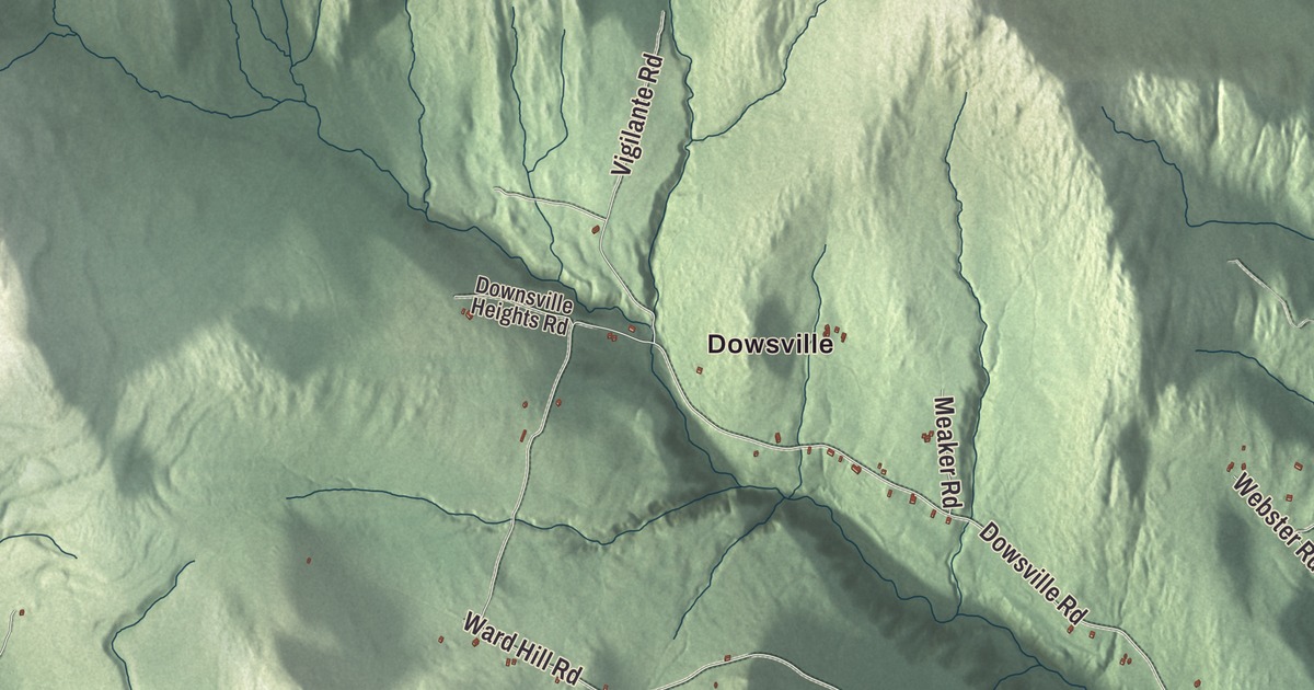
For a lot of hikers, Duxbury is the way up Camel’s Hump: Camels Hump Road ends at the Monroe Trailhead, one of the two busiest starting points for the climb. This map prints that road and the rest of the town, from Dowsville, North Duxbury and South Duxbury to Crossett Hill Road, Ward Hill Road, Butler Pond and the Winooski River.
Duxbury is a town in Washington County, Vermont.
KNOWOL made this map in 2026 from public survey data and gave it the look of an old county atlas. The mountainsides are shaded from United States Geological Survey elevation data, and the roads and town line come from the Census Bureau. Duxbury covers 43.1 square miles, almost all of it land, and it had 1,413 people at the 2020 census. Click here to purchase a print of this map for your wall.
An old grant in two counties
New Hampshire granted Duxbury on June 7, 1763, and the town organized on March 26, 1792. For its first years it belonged to Chittenden County, and it stayed there until Washington County was organized in 1811. Benjamin Davis was the first man Duxbury sent to the legislature, in 1794, and Ebenezer Corse went on to hold the seat again and again in the early 1800s.
Duxbury is also known for something it no longer has. For years the town said it was the only place in the United States that elected its dogcatcher. In 2018 it was decided that the election broke Vermont law, since a dogcatcher is supposed to be appointed.
The resting lion
Camel’s Hump is tied with Mount Ellen as the third-highest mountain in Vermont, and its summit holds 10 acres of alpine tundra. In 1609 Samuel de Champlain called it “Le Lion Couchant,” roughly “the resting lion.” In 1905 the publisher Joseph Battell gave 1,200 acres of virgin forest, summit included, to the State of Vermont, and Camel’s Hump State Park has since grown into the largest state park in Vermont, running north to the Winooski River.
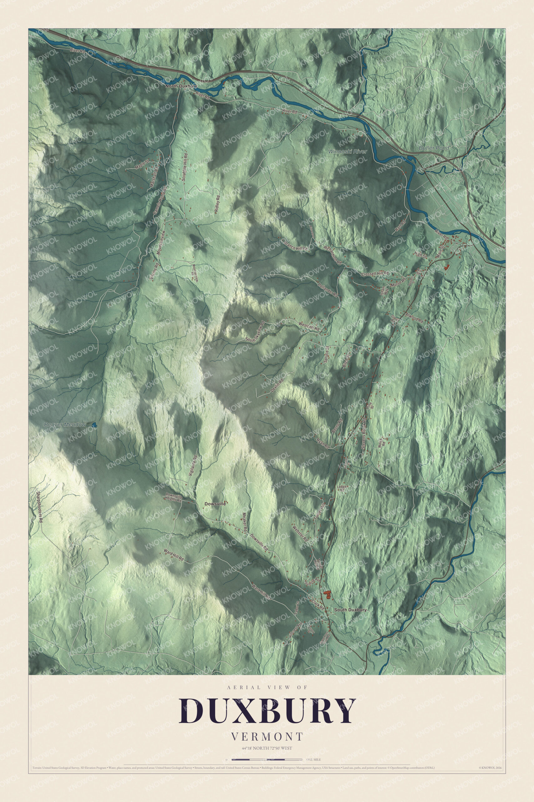
Click to explore a larger preview. The digital watermark does not appear on printed maps.
Names on this map
These names are printed on this map.
Places: Butler Pond, Beaver Meadow, Winooski River, Dowsville, North Duxbury and South Duxbury.
Streets and roads: Camels Hump Road, Marshall Road, River Road, Crossett Hill Road, Ward Hill Road, Dowsville Road, Devlin Road, Scrabble Hill Road, Stevens Brook Road, Turner Hill, Ridley Road, Westcott Road.
More street names, A to Z
Atwood Road, Berno Road, Birch Street, Branco Hill Road, Clark Road, Downsville Heights Road, Grout Road, Hart Road, Hideaway Lane, High Street, Hillcrest Avenue, Isham Way, Ledge Road, Main Street, Maple Street, Meaker Road, Mill Road, Morse Road, Mountainview, Mountainview Road, Pine Street, Pleasant Street, Pollander Road, Quarry Drive, Richardson, Richardson Road, Ryan Road, Sharpshooters Road, South Skyview Road, Spruce Street, Sunrise Avenue, Sweet Iron Farm Road, Tabor Lane, Turner Hill Road, Vigilante Road, Vilcins Road, Webster Road, Welch Road.
See it on a wall
The Duxbury map as a framed print. Swipe for more.


From the Monroe Trailhead at the end of Camels Hump Road, the Monroe Trail climbs the east face of the mountain, rising 2,583 feet over 3.1 miles to meet the Long Trail just north of the summit. The trail is named for Will Monroe, who began cutting the Long Trail south from Camel’s Hump toward Middlebury Gap in 1916. Right at the trailhead, the Camel’s Hump View Trail is a gentle, universally accessible path of 0.8 miles with benches along the way and a fine view of the mountain to the west. In 2016, almost 26,000 people signed the registers at the Monroe Trailhead and the Burrows Trailhead on the other side of the mountain. There’s also parking for the Long Trail along Duxbury Road west of Duxbury, a longer way in.
On the map, find Camels Hump Road, Dowsville Road, Marshall Road, River Road, Crossett Hill Road and Ward Hill Road. Dowsville, North Duxbury and South Duxbury are printed too, and so are Butler Pond and the Winooski River.
This map is made for everyone who calls Duxbury home and shows the town as it looks today, from the river to the mountain. Hang it in an office, library or den, or use it to teach children the geography and history of their town. KNOWOL created it in 2026, and it’s printed on museum quality archival paper. Zoom in on the preview above to explore the details, then click here to get your copy of the Duxbury, Vermont map.

Sources