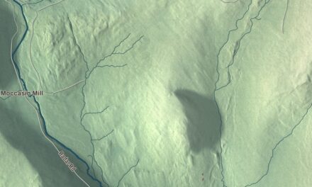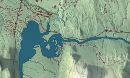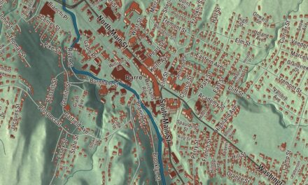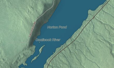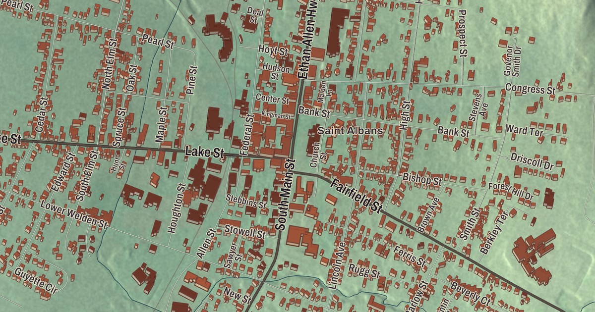
St. Albans Town rings the city of St. Albans on every side and runs west to St. Albans Bay and out into Lake Champlain, taking in Burton, Woods and Ball islands. This map prints Saint Albans with South Main Street, North Main Street, Lake Street, Ethan Allen Highway, Fairfield Street and Lower Newton Road.
St. Albans Town is a town in Franklin County, Vermont.
KNOWOL made this map in 2026 from public survey data and gave it the look of an old county atlas, shading the hills from United States Geological Survey elevation data and drawing the roads and town line from the Census Bureau. The town covers 60.5 square miles, 23.5 of them water, and 6,988 people lived here at the 2020 census. Click here to purchase a print of this map for your wall.
Farms, a bay and a town hall of its own
New Hampshire granted St. Albans on August 17, 1763, and the name comes from St. Albans in England, itself named for the early Christian saint and protomartyr. The town organized on July 28, 1788, and sent Jonathan Holt to the legislature that year. For more than a century the town and today’s city were one, and older references to “St. Albans” usually mean the town center that’s now the city. After the city went its own way, the town built St. Albans Town Hall in 1898, two years after the split, at 579 Lake Road, Route 36, in the village of St. Albans Bay. It’s a brick Richardsonian Romanesque building on a limestone foundation, and it joined the National Register of Historic Places in 1996.
By the 1890s the town had 1,000 farms and 15,000 cows and was called the butter capital of the world. Lawrence Brainerd came to St. Albans as a boy in 1808, clerked in a local store and went into business, and represented St. Albans in the Vermont House in 1834 and 1835. A longtime opponent of slavery, he ran for governor again and again on the abolitionist Liberty Party ticket, went to the United States Senate in 1854 and became the first chairman of Vermont’s Republican Party. William L. Manly, born near St. Albans, walked some 250 miles across the Mojave in 1849 to find a way out for pioneer families trapped in Death Valley, and three places there carry his name. He told the story in his book Death Valley in ’49.
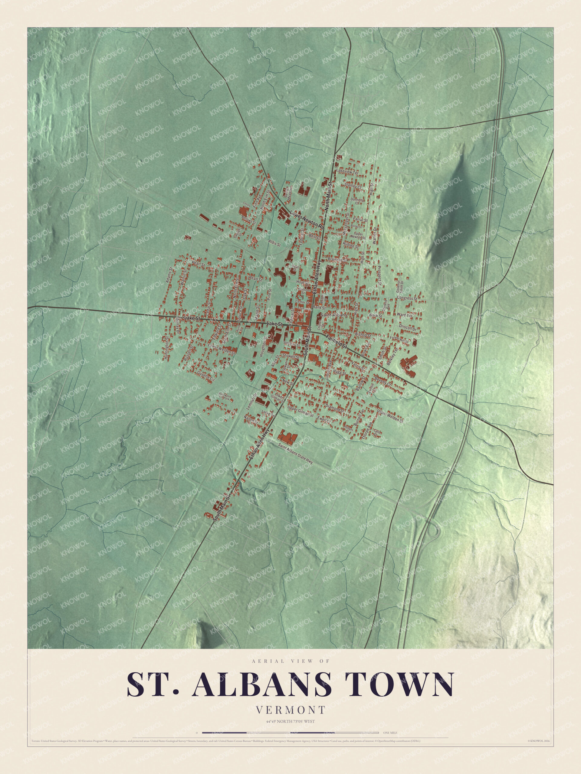
Click to explore a larger preview. The digital watermark does not appear on printed maps.
Names on this map
These names are printed on this map.
Places: Saint Albans and Briarwood Trlr Park.
Streets and roads: South Main Street, North Main Street, Lake Street, Ethan Allen Highway, Fairfield Street, Lower Newton Road, North Elm Street, High Street, Lincoln Avenue, Messenger Street, Upper Welden Street, Lower Welden Street.
More street names, A to Z
Adams Street, Aldis Street, Allen Street, Bank Street, Barlow Street, Bellows Street, Berkley Terrace, Best Court, Beverly Court, Bishop Street, Borley Street, Brainerd Street, Brown Avenue, Burnell Terrace, Calo Court, Calvary Street, Cedar Street, Center Street, Church Street, Congress Street, Deal Street, Diamond Street, Donnelly Court, Driscoll Drive, Edward Street, Ewell Court, Farrar Street, Federal Street, Ferris Street, Finn Avenue, Forest Hill Drive, Govenor Smith Drive, Guyette Circle, Hodges Court, Houghton Street, Hoyt Street, Hudson Street, Huntington Street, Hunt Street, Kingman Street, Lakeview Terrace, Lemnah Drive, Locke Terrace, Lower Gilman Street, Maiden Lane, Maple Street, Murray Drive, Nason Street, New Street, Oak Street, Pearl Street, Pine Street, Prospect Street, Quintin Court, Rublee Street, Rugg Street, Russell Street, Saint Albans State Highway, Savage Street, Sawyer Street, Smith Street, South Elm Street, Spruce Street, Stanley Court, Stebbins Street, Stevens Avenue, Stowell Street, Sunset Meadows, Thorpe Avenue, Upper Gilman Street, Upper Newton Street, Walnut Street, Ward Terrace, Warner Drive.
See it on a wall
The St. Albans Town map as a framed print. Swipe for more.


On the lake
The town’s southwest side fronts on St. Albans Bay, an arm of Lake Champlain, and every Fourth of July the bay hosts Bay Day, with a triathlon and fireworks. Out in the lake, Burton Island State Park covers the whole 253-acre island off St. Albans Point. It’s reached only by boat, with a ferry from Kamp Kill Kare State Park, and it has campsites, a marina, trails, a nature center and three miles of shoreline. Woods Island is a state park too, while Ball Island is privately owned.
After the Civil War, men recruited for the Fenian raids on Canada gathered in St. Albans, and in 1870 General George Meade seized much of their arms and ammunition as it arrived. The pilot Amelia Earhart is said to have flown here on May 22, 1934. Interstate 89 serves the town at Exits 19 and 20, along with U.S. Route 7 and Vermont Routes 36, 38, 104, 105 and 207.
On the map, start with Saint Albans, then follow South Main Street, North Main Street, Lake Street, Ethan Allen Highway, Fairfield Street and Lower Newton Road across town. All six of those names are printed on the artwork. St. Albans Town dates to 1763.
This map of St. Albans Town is made for everyone who calls St. Albans Town home, and it shows the town as it looks today, from Lake Street and Lower Newton Road to Ethan Allen Highway and Fairfield Street. Hang it in an office, library or den, or use it to teach children the geography and history of their town. It’s printed on museum quality archival paper. Zoom in on the preview above to explore the details, then click here to get your copy of the St. Albans Town, Vermont map.

Sources