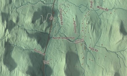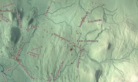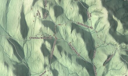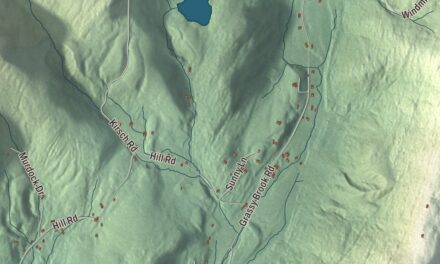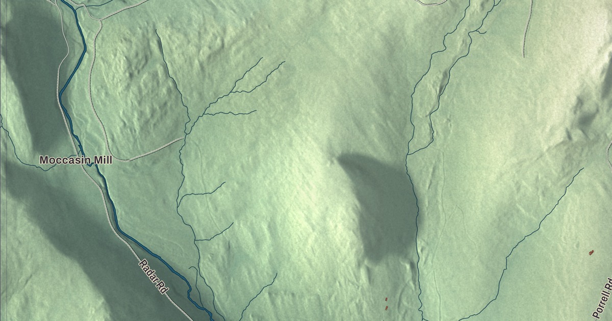
Granby counted 81 people at the 2020 census, spread over 39.1 square miles of Essex County. This map prints Moccasin Mill and the roads that cross the town: Paul Stream Road, Granby Road, Porrell Road, Power Line Road, Radar Road and Shores Hill Road.
Granby is a town in Essex County, Vermont.
KNOWOL made this map in 2026 from public survey data and gave it an old county atlas look, with the hills shaded from United States Geological Survey elevation data and the roads and the town line from the Census Bureau. Granby is part of the Berlin, New Hampshire and Vermont micropolitan area. Click here to purchase a print of this map for your wall.
Named for a marquess
New Hampshire granted Granby on October 10, 1761. The town is named for the Marquis of Granby, John Manners, a British Army officer popular with his troops, whose name is still on many British pubs. The Vermont Legislature’s records sum up the town’s early years in a few lines: Granby organized on March 13, 1798, and sent Clark Curtis to the legislature that year, but its organization was abandoned in 1815, and the town was organized again on January 10, 1822. Much later, along with its neighbor Victory, Granby was one of the last two towns in Vermont to be connected to the electric grid, in 1963.

Click to explore a larger preview. The digital watermark does not appear on printed maps.
Names on this map
These names are printed on this map.
Places: Moccasin Mill, Mud Pond and Cow Mountain Pond.
Streets and roads: Paul Stream Road, Granby Road, Porrell Road, Power Line Road, Radar Road, Shores Hill Road, Lund Lane, Mud Pond Pass, Felker Road, DC Line Road, Matthews Knoll, Buzzell Gap.
More street names, A to Z
Cow Mountain Pond Road, Guildhall Road.
See it on a wall
The Granby map as a framed print. Swipe for more.


On the map, find Moccasin Mill, then follow Granby Road, Paul Stream Road, Porrell Road and Shores Hill Road across town. Power Line Road and Radar Road are printed too. Mud Pond and Cow Mountain Pond are labeled as well. Granby dates to 1761.
This map of Granby is made for everyone who calls Granby home, and it shows the town as it looks today. Hang it in an office, library or den, or use it to teach children the geography and history of their town. It’s printed on museum quality archival paper. Zoom in on the preview above to explore the details, then click here to get your copy of the Granby, Vermont map.

Sources