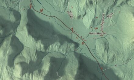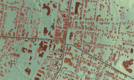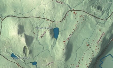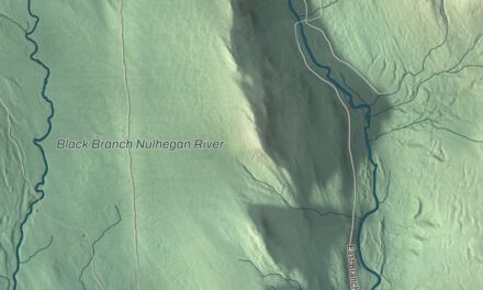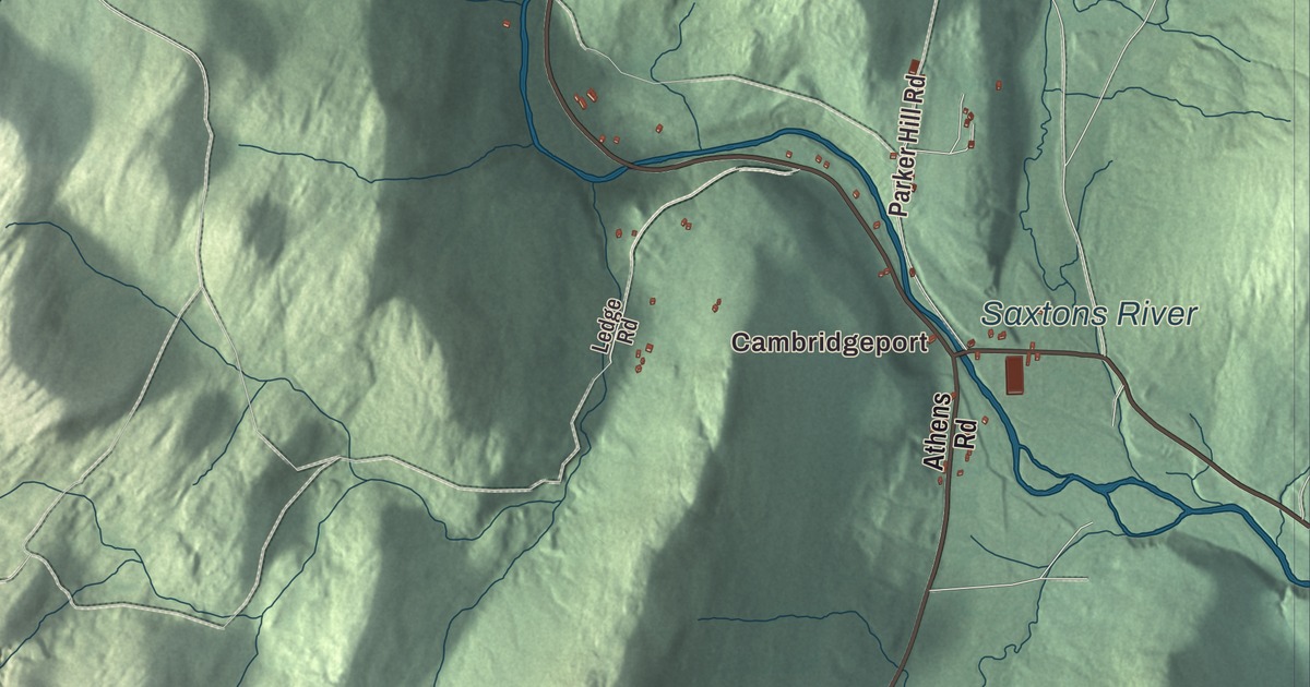
Grafton village grew up where two branches of the Saxtons River meet, and it keeps much of its 19th-century look, without even utility poles along its streets. This map prints Main Street, Chester Road, Houghtonville Road, Hinkley Brook Road, Townshend Road and Pickle Street, with Houghtonville, Cambridgeport and the name Saxtons River.
Grafton is a town in Windham County, Vermont.
KNOWOL made this map in 2026 from public survey data and gave it the look of an old county atlas, shading the hills from United States Geological Survey elevation data and drawing the roads and town line from the Census Bureau. Grafton village sits a little southeast of the town’s center, in the valley of the Saxtons River. Click here to purchase a print of this map for your wall.
Thomlinson, renamed for a jug of rum
New Hampshire granted the town as Thomlinson on April 8, 1754, and renewed the charter in 1761. The first permanent settlers came in the late 1770s, to the Middletown section near the center of town, and the town organized in 1781. In the early 1790s the right to rename it was auctioned off. The town page says the winning bidder reportedly offered “five dollars and a jug of rum,” and he named it Grafton after his hometown, Grafton, Massachusetts.
In the early 1800s sheep raising caught on, and woolen mills went up along the branches of the Saxtons River. Soapstone was quarried on Bear Mountain, and Grafton became a stagecoach stop on the route over the Green Mountains to Albany, New York. An inn from those days, the Old Tavern, opened in 1801; the town page calls it one of the oldest continually operating hotels in the country, and it’s now The Grafton Inn. Grafton had almost 1,500 people just before the Civil War and suffered severe losses in that war. Afterward the population fell, and the soapstone quarry closed late in the century.
Then came the restoration. In the 1960s the Windham Foundation was set up to help restore the village, and it bought the Old Tavern and many houses. It also helped bring back Grafton Village Cheese Company, successor to a cooperative founded in 1892 to handle the town’s surplus milk, and the company still makes aged cheddar. Today nearly the whole developed village is a historic district on the National Register, running out along Chester Road, Houghtonville Road and Hinkley Brook Road.
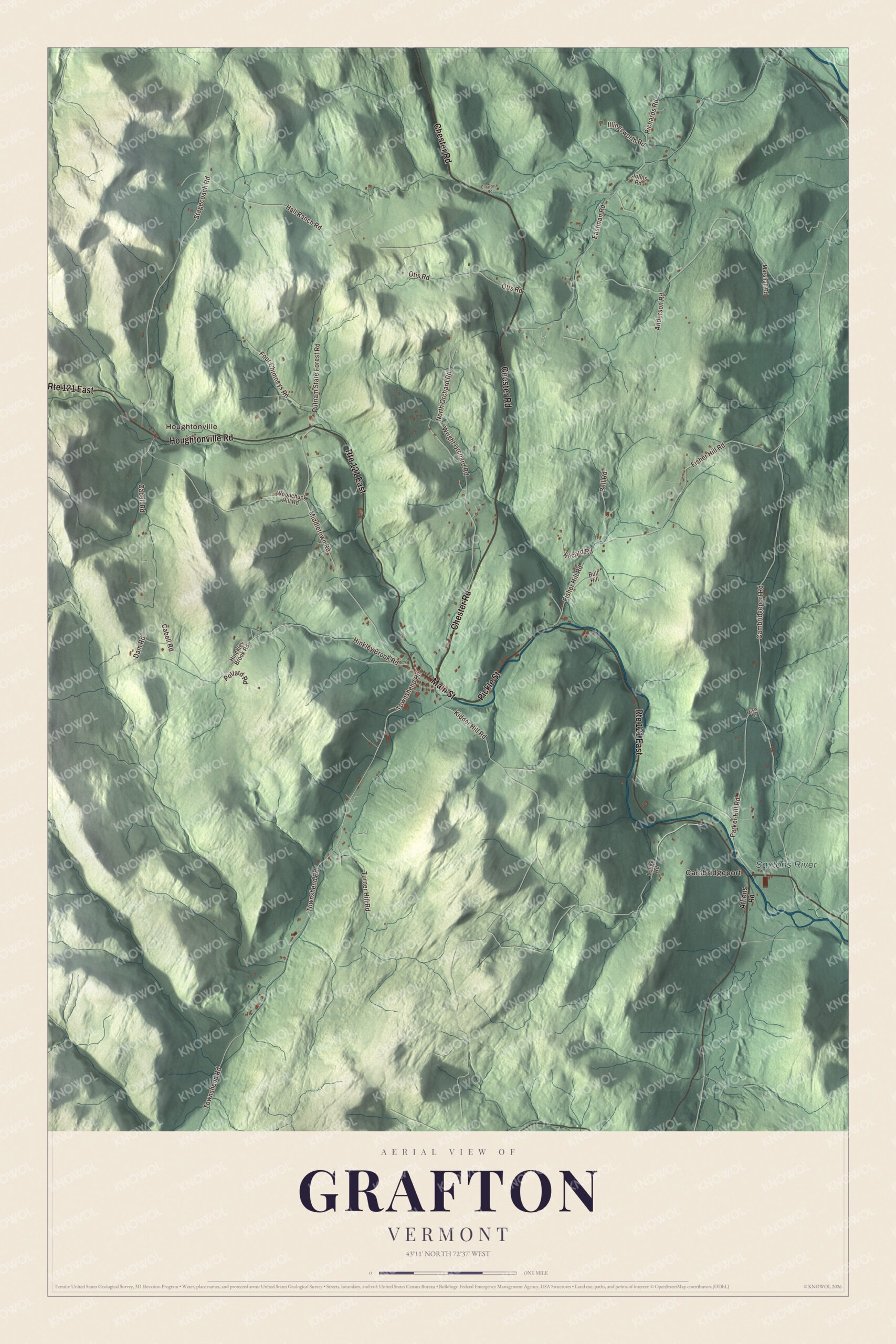
Click to explore a larger preview. The digital watermark does not appear on printed maps.
Names on this map
These names are printed on this map.
Places: Cambridgeport, Houghtonville and Saxtons River.
Streets and roads: Pickle Street, Main Street, Chester Road, Route 121 East, Houghtonville Road, Hinkley Brook Road, Townshend Road, Eastman Road, Fisher Hill Road, Stagecoach Road, Cabell Road, Middletown Road.
More street names, A to Z
Anderson Road, Athens Road, Bell Road, Bull Hill, Cambridgeport Road, Dam Road, Ellsworth Road, Four Chimneys Road, Hall Ranch Road, Hinckley Brook Road, Illingsworth Road, Johns Road, Kidder Hill Road, Ledge Road, Marshall Road, Misty Drive, North Orchard Road, Otis Road, Parker Hill Road, Pollard Road, Putnam State Forest Road, Record Road, Richards Road, Turner Hill Road, Woodchuck Hill Road, Wright Orchard Road.
See it on a wall
The Grafton map as a framed print. Swipe for more.


Along Main Street and beyond
Main Street holds a row of National Register buildings. The Brick Church, built for the Congregationalists in 1833, stands at the corner of Hinkley Brook and Middletown roads. Near Chester Road, the 1855 post office served the town for more than a century, and next door the old District Schoolhouse No. 2 has been a school, a fire station, a Masonic hall, a tin shop and the clubhouse of a brass band. Across the street, the Butterfield House has held the town library since the 1950s. Just south of the village, the Kidder Covered Bridge carries Kidder Hill Road over the South Branch; it’s the shortest historic covered bridge in Windham County. About three miles up the North Branch, Houghtonville grew around the Houghton family’s mill and homesteads on the river, and ten of its 19th-century houses along Houghtonville Road now form their own historic district.
Grafton’s people include Daisy Turner, born in Grafton in 1883, whose father had escaped slavery at the start of the Civil War and joined the Union cavalry. She became a gifted storyteller who could trace her family’s history back to Africa and England, and at 104 she appeared reciting Civil War poetry in Ken Burns’ documentary The Civil War. The family homestead lies on the Daisy Turner Loop, a trail near Grafton Pond. John Barrett, born in Grafton in 1866, became the first director general of the organization later named the Pan American Union. Enoch Hale, who built the first bridge across the Connecticut River at Bellows Falls in 1785, later moved to Grafton and represented the town in the legislature.
On the map, follow Main Street through the village, then take Chester Road, Townshend Road, Hinkley Brook Road and Houghtonville Road out to Houghtonville. Pickle Street and Cambridgeport are printed too, and so is the name Saxtons River. Grafton dates to 1754.
This map of Grafton is made for everyone who calls Grafton home, and it shows the town as it looks today, from Houghtonville to Cambridgeport. Hang it in an office, library or den, or use it to teach children the geography and history of their town. It’s printed on museum quality archival paper. Zoom in on the preview above to explore the details, then click here to get your copy of the Grafton, Vermont map.

Sources
- Grafton, Vermont, Wikipedia
- Town histories and representatives, G towns, Vermont Legislature
- Grafton Village Historic District, Wikipedia
- Grafton Village Cheese Company, Wikipedia
- Grafton Congregational Church and Chapel, Wikipedia
- Grafton Post Office, Wikipedia
- Grafton District Schoolhouse No. 2, Wikipedia
- Grafton Public Library, Wikipedia
- Kidder Covered Bridge, Wikipedia
- Houghtonville Historic District, Wikipedia
- Daisy Turner, Wikipedia
- John Barrett (diplomat), Wikipedia
- Enoch Hale, Wikipedia